The best traffic-free bike rides around Parco Naturale Regionale del Monviso
4.7
(67)
3,769
riders
4
rides
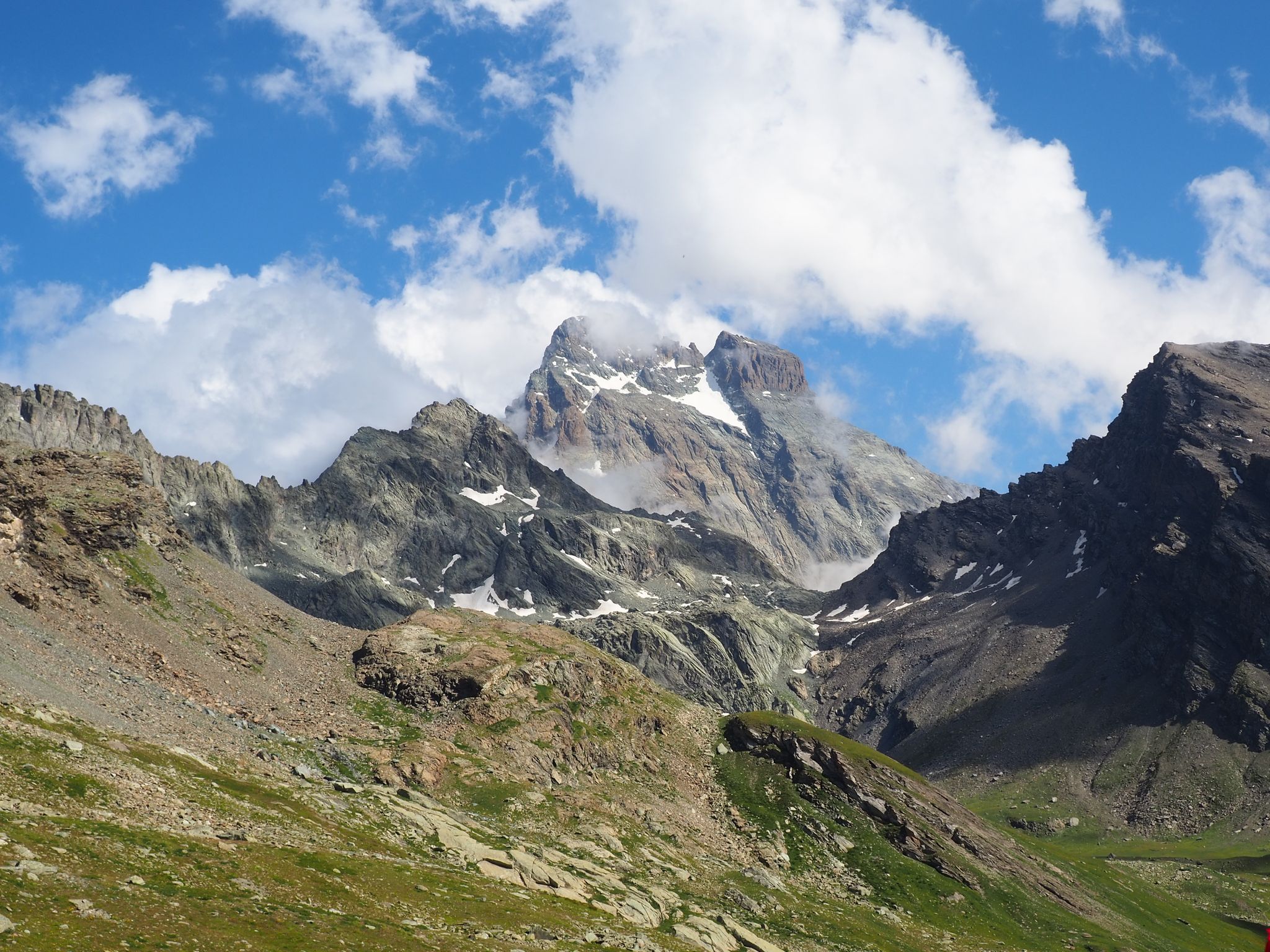
Road cycling around Parco Naturale Regionale del Monviso offers diverse terrain within the Cottian Alps, characterized by the iconic Monviso peak and its surrounding alpine landscapes. The region features significant elevation changes, from the Cuneo plain to high mountain passes, providing challenging ascents and expansive vistas. Cyclists encounter a mix of environments, including the source of the Po River at Pian del Re, the extensive Alevè Forest, and various valleys with both steep slopes and more gentle, wooded areas. The…
Last updated: July 12, 2026
4.5
(4)
137
riders
32.4km
02:44
1,340m
1,350m
Hard road ride. Very good fitness required. Some segments of this route may be unpaved and difficult to ride.
4.0
(4)
122
riders
52.3km
04:07
2,160m
2,160m
Hard road ride. Very good fitness required. Mostly well-paved surfaces and easy to ride.

Sign up for free
12
riders
34.5km
02:49
1,370m
1,370m
Hard road ride. Very good fitness required. Some segments of this route may be unpaved and difficult to ride.
13
riders
12.1km
00:53
420m
420m
Moderate road ride. Good fitness required. Some segments of this route may be unpaved and difficult to ride.
6
riders
13.7km
00:51
380m
380m
Moderate road ride. Good fitness required. Mostly well-paved surfaces and easy to ride.
Our route recommendations are based on thousands of hikes, rides, and runs completed by other people on komoot.
Start today with a free account
Your next adventure awaits.
Login or Signup
Popular around Parco Naturale Regionale del Monviso
Tour di Viso – Four days around the Stone King from Castello
Tour di Viso – Four days around the Stone King from Meire Dacant
Viso Tour from Castello (variant) – Three days around the Stone King
Tour di Viso from Pian del Re – Three days around the Stone King

GTA South Piedmont — Hiking in Italy's Occitan valleys
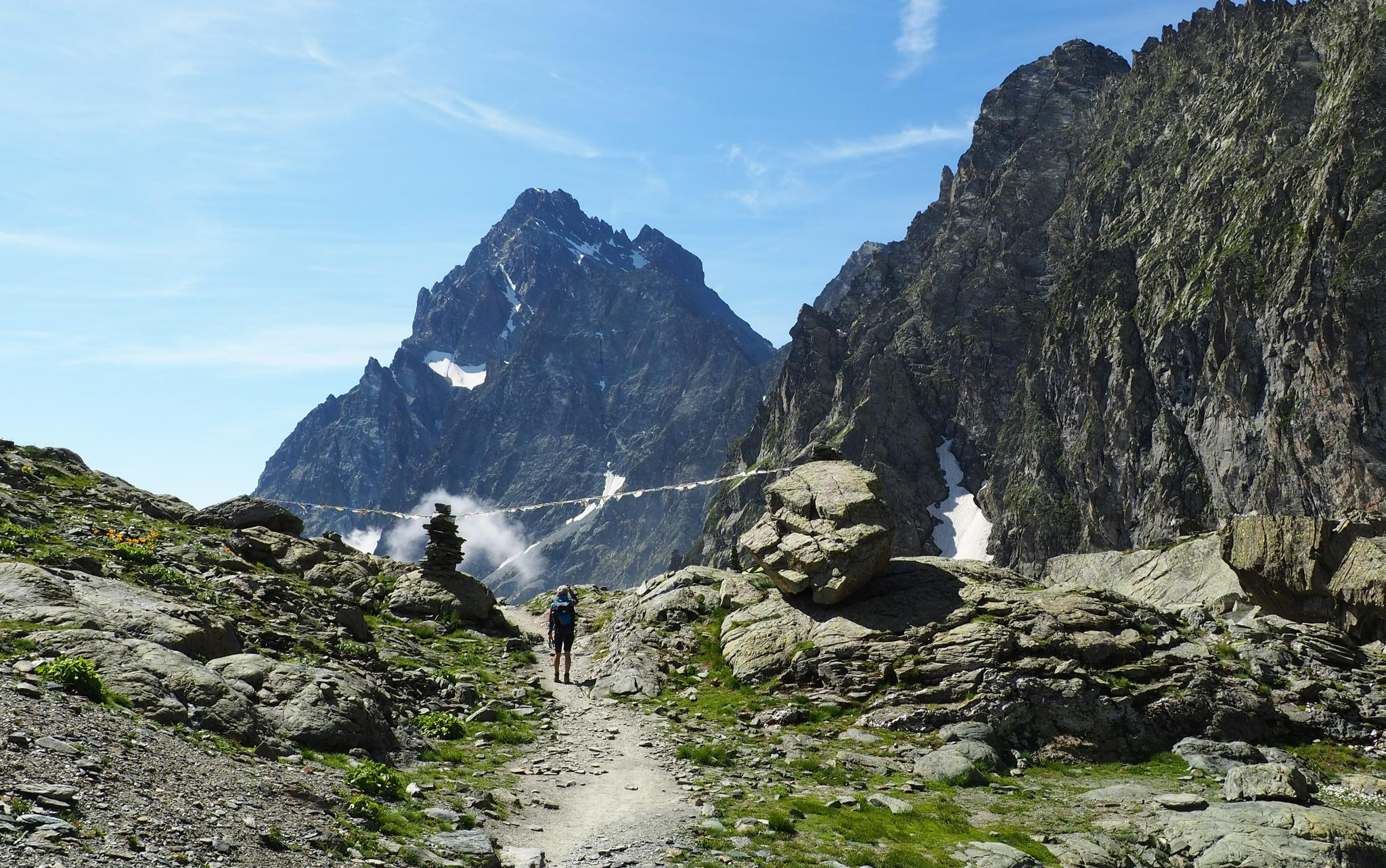
On the trails of the Stone King – trekking among the huts of Monviso
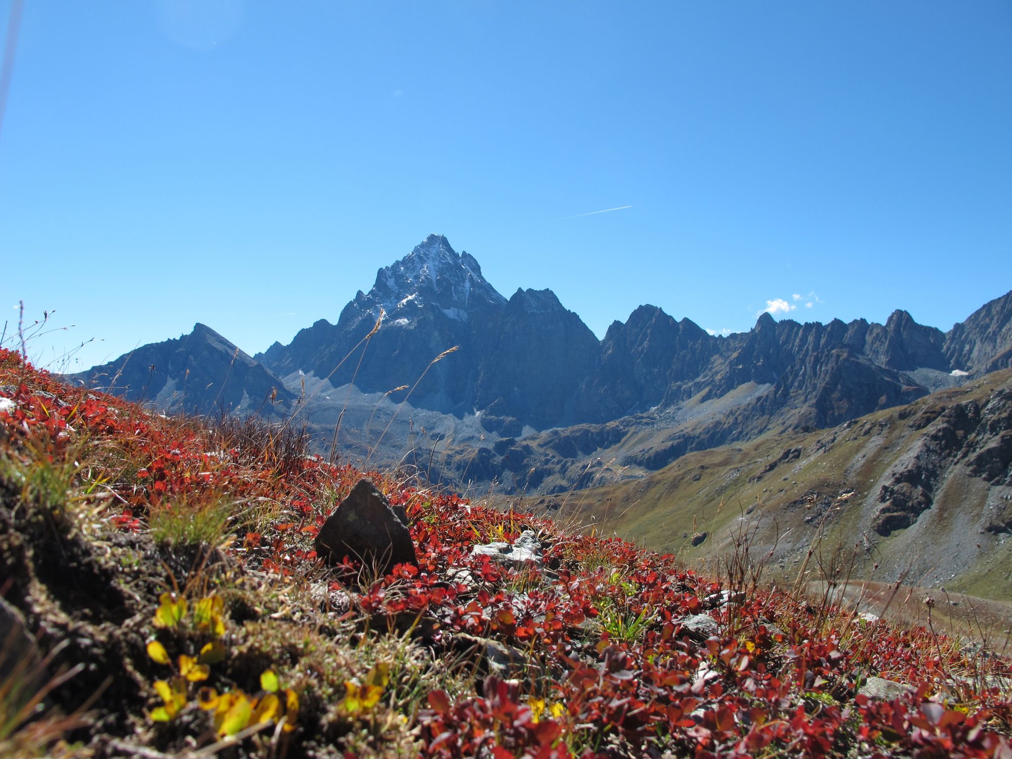
Three days around il Re di Pietra ─ Giro di Viso from Castello
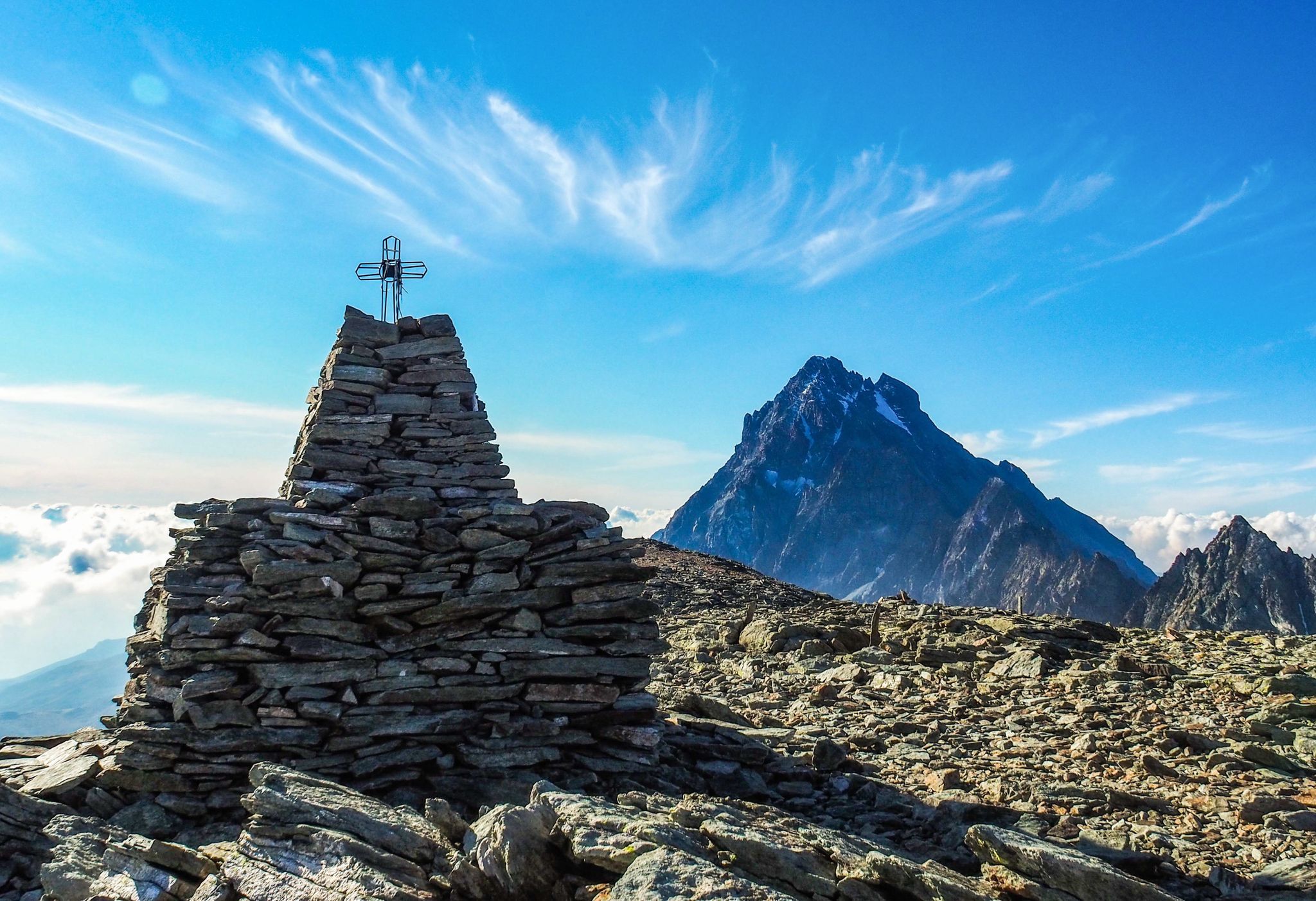
Where birds of prey swoop – 8 peaks over 3,000 metres in Monviso
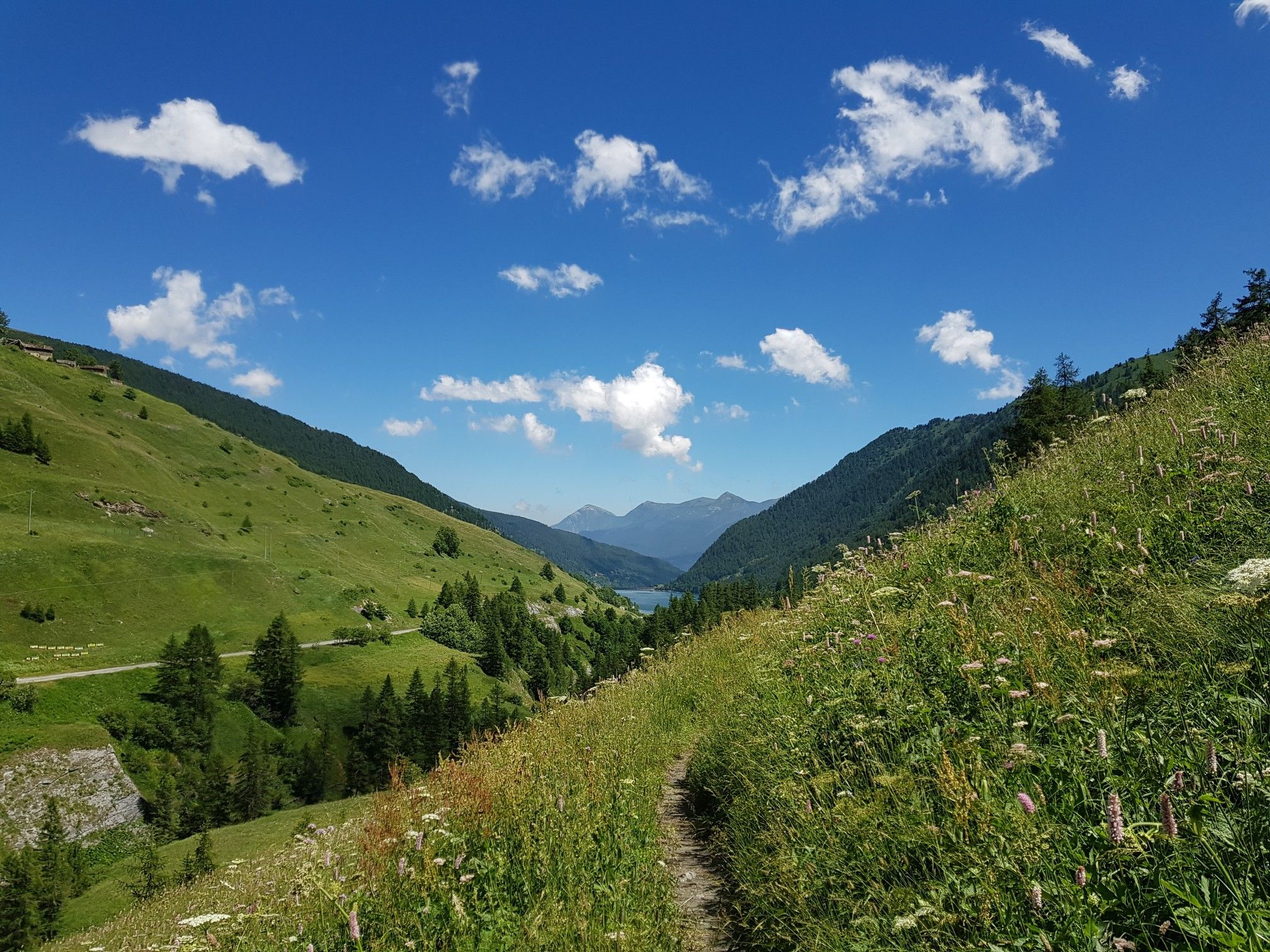
Varaita Valley Trekking – a journey into the lands of Italy’s Monviso
The Tour of Mount Viso – hike around Italy’s Stone King
Other adventures around Parco Naturale Regionale del Monviso


Tips from the Community

The water here is really fresh.
15
0
The parish church of Paschero, a hamlet of the municipality of Stroppo, is dedicated to San Giovanni Battista. It is located in the main square, in front of the Town Hall and the municipal wing, and its façade is characterized by the greater height of the central nave, to which the two lower lateral ones lean. The church can be reached by going up the municipal road from the hamlet of Bassura.
18
0

Sampeyre hill with a view of Monviso
0
0
a beautiful fountain, ideal for refilling water bottles for the climb up the hill
1
0

First spot where to get water along the ascent from sampeyre, very fresh and good one, perfect spot for a break
3
0

Steep, narrow, lonely, magnificent mountain scenery and plenty of altitude! Do you need more?
2
1

It is one of the most spectacular passes in Piedmont. Without a doubt it is in my Top 5 of Piedmont (Fauniera, Agnello, Nivolet, Colle delle Finestre and Colle di Sampeyre). For many it is a great unknown since Fauniera and Agnello are around it, two passes with a lot of name. It has the characteristics of a colossus: it is long, hard, high (over 2,000m) and has privileged views. Colle Sampeyre connects the Maira valley with the Varaita valley, where the town of Sampeyre is located. It has 3 slopes: two through the Maira valley and one through the Varaita valley. Of the 3, the most special for me is the one through the Elba valley, which starts at Ponte Marmora. The road on the 2 sides of the Maira valley is not in good condition so I suggest going up one of these and going down the side of the Varaita valley, which is in good condition as it was resurfaced in 2023. Obviously, we are talking about narrow roads, with no road signs and no hard shoulder. There is very little traffic, so you only have to worry about the ramps, the views and enjoying nature. Regarding the ban on going up the Elba valley... no problem. You can go up by bike perfectly. At the start of the climb the locals put up a barrier to discourage tourists and prevent them from disturbing their peace and the mountains. Cyclists are very welcome. It has been part of the Giro d'Italia on 2 occasions. On the second occasion, in 2003, it will go down in history as the snowy stage, where Gilberto Simoni crowned and Pantani fell on the descent trying to catch him. As well as being a Top 5 in Piedmont, it is also a Top 15 in Italy. It is a mountain pass that I am very fond of. I always recommend it to cyclists who go through that area.
3
0

A destination mainly for cyclists and motorcyclists, but also for walkers. You can go up from the municipality of Sampeyre (Val Varaita) or from the municipality of Elva (Val Maira). It crosses the Strada dei Cannoni, a long dirt road of 42 km between the 2 valleys, which touches many municipalities, and starts from Colletta di Rossana and ends at Colle della Bicocca
2
0
Frequently Asked Questions
How many no-traffic road cycling routes are available in Parco Naturale Regionale del Monviso?
Currently, komoot features a selection of dedicated no-traffic road cycling routes within Parco Naturale Regionale del Monviso. These routes are carefully curated to offer a serene cycling experience away from vehicular traffic.
What is the best time of year for no-traffic road cycling in Parco Naturale Regionale del Monviso?
The best time for road cycling in Parco Naturale Regionale del Monviso is generally from late spring to early autumn (May to October). During these months, the weather is most favorable, and the higher alpine passes are typically clear of snow, offering breathtaking views and access to the full network of routes. Summer brings vibrant meadows, while autumn offers stunning golden-hued woods.
Are there any challenging no-traffic road cycling routes for experienced riders?
Yes, for experienced riders seeking a challenge, routes like the Sampeyre – Misserve loop from Sampeyre offer significant elevation gains, reaching over 1,300 meters across 34 kilometers. These routes often lead into true alpine immersion with steep slopes and expansive vistas.
What kind of natural attractions can I expect to see along these routes?
The no-traffic road cycling routes in Parco Naturale Regionale del Monviso offer access to stunning natural attractions. You can cycle past the iconic Source of the Po River at Pian del Re, discover serene alpine lakes like Lake Fiorenza, and experience the rich biodiversity of the Alevè Forest, the largest Swiss pine stand in the Western Alps.
Are there any moderate no-traffic road cycling options for those looking for a less strenuous ride?
Absolutely. For a moderate ride, consider the Sampeyre loop from Sampeyre. This route covers about 12 kilometers with an elevation gain of around 400 meters, providing a scenic and enjoyable experience without the extreme demands of more difficult climbs.
What do other cyclists say about road cycling in Parco Naturale Regionale del Monviso?
The komoot community highly rates the cycling experience in Parco Naturale Regionale del Monviso, with an average score of 4.7 out of 5 stars from 40 ratings. Reviewers often praise the breathtaking alpine scenery, the challenge of the climbs, and the opportunity to explore diverse landscapes, from the source of the Po River to picturesque hamlets.
Are there any circular no-traffic road cycling routes?
Yes, many of the routes are designed as loops, allowing you to start and finish in the same location. For example, the View of Castellar Castle – Colletta of Brondello loop from Paesana offers a circular journey of over 55 kilometers, providing varied scenery and a rewarding ride.
Can I find any historical landmarks or cultural sites along the no-traffic routes?
Beyond natural beauty, the region is rich in history. While cycling, you might encounter historical sites such as the ancient tunnel of Buco di Viso, the first tunnel excavated in the Alps. Picturesque hamlets like Ostana, recognized as one of 'The Most Beautiful Villages in Italy,' also offer charming stops with panoramic views.
What kind of wildlife might I spot while cycling in the Monviso area?
Parco Naturale Regionale del Monviso is a UNESCO Biosphere Reserve, home to diverse ecosystems. While cycling, you might be lucky enough to spot chamois, ibex, marmots, deer, and various bird species. The park's rich flora and fauna add another layer of enjoyment to your ride.
Are there options for longer no-traffic road cycling tours?
Yes, for those looking for longer rides, routes like the View of Castellar Castle – Colletta of Brondello loop from Paesana extend over 55 kilometers, offering substantial distance and elevation for a full day's adventure through varied landscapes.
Most popular routes around Parco Naturale Regionale del Monviso
Most popular attractions around Parco Naturale Regionale del Monviso

Get inspired with the komoot mobile app


Explore more
Browse the best Road cycling routes in other regions.
