The best road cycling routes around Parco Naturale Regionale del Monviso
4.7
(67)
3,769
riders
22
rides
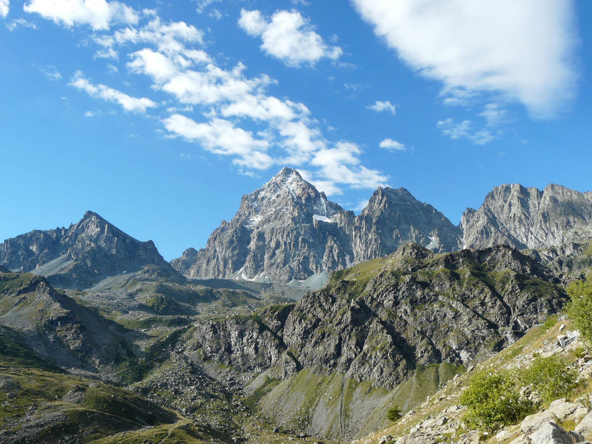
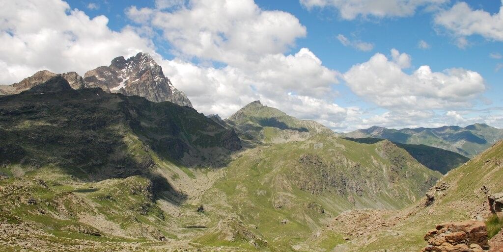
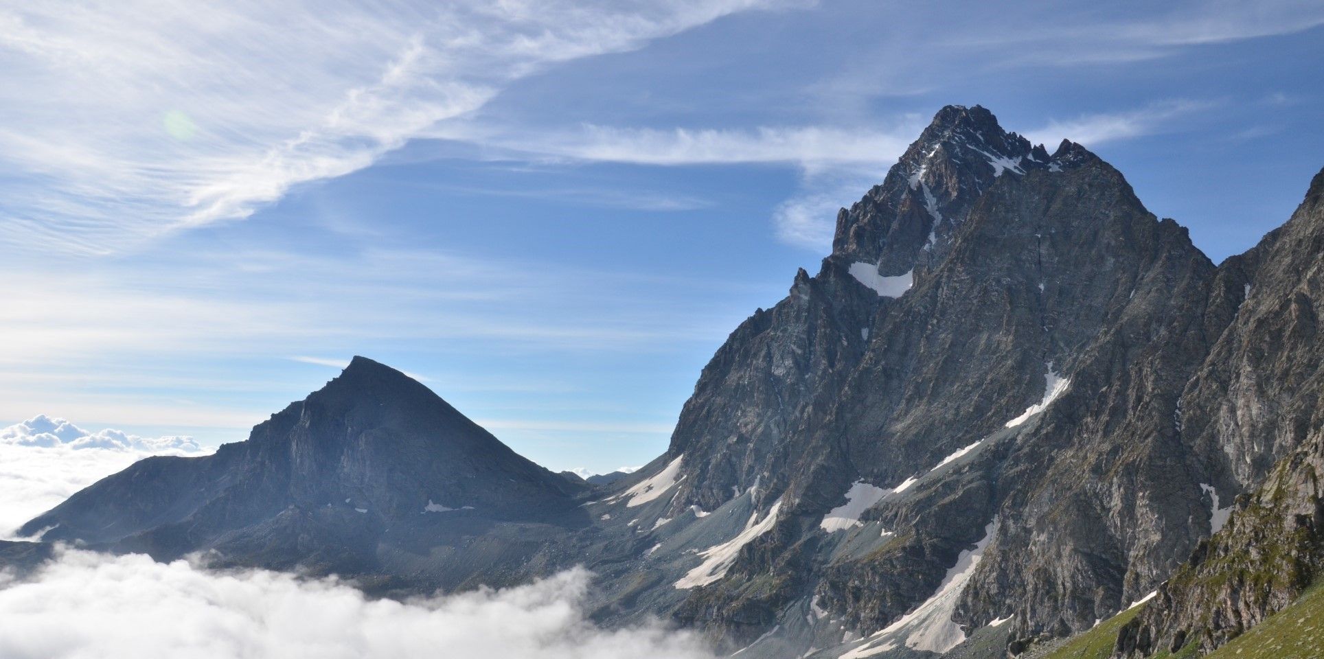
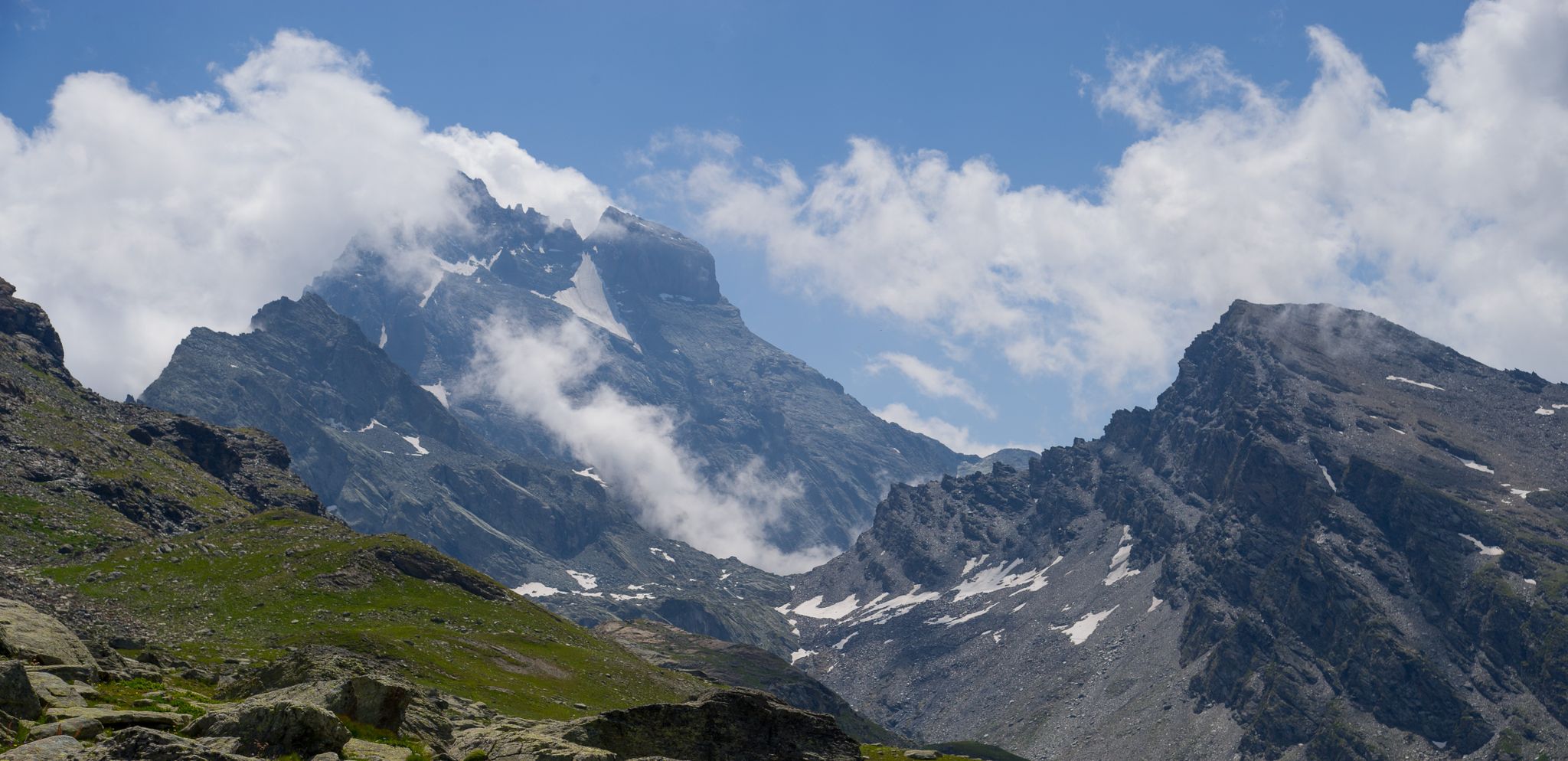
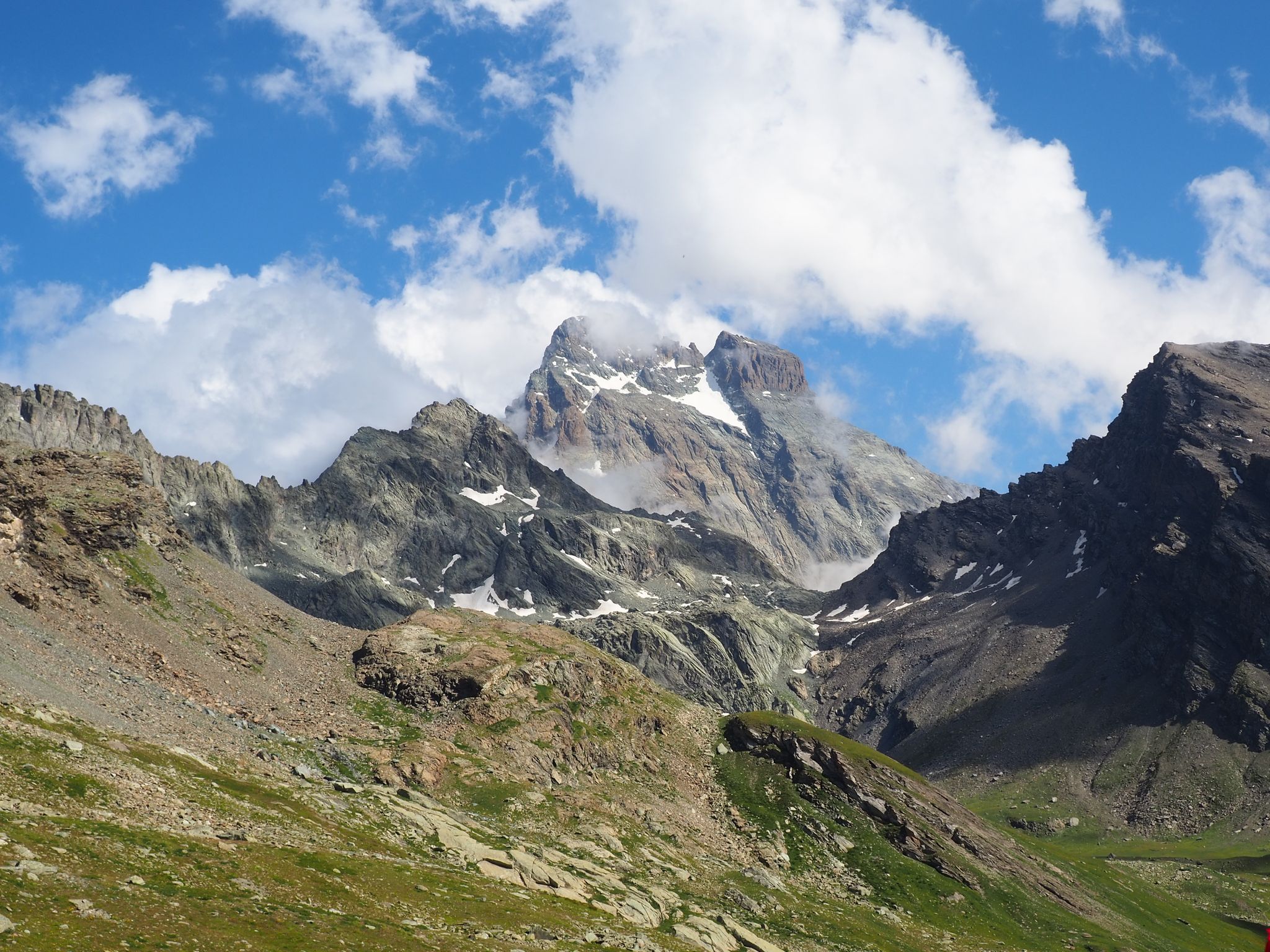
Road cycling around Parco Naturale Regionale del Monviso offers diverse terrain, from low plains to high alpine peaks, centered around the majestic Monviso mountain. The region is characterized by challenging Alpine passes, including those featured in prestigious cycling events, and features like the source of the Po River at Pian del Re. Cyclists can navigate through varied environments, from the extensive Alevé Woods, the largest stone pine forest in the Alps, to picturesque alpine lakes and high-altitude meadows. This altitudinal…
Last updated: July 1, 2026
4.5
(4)
173
riders
49.3km
03:32
1,610m
1,610m
Hard road ride. Very good fitness required. Mostly well-paved surfaces and easy to ride.
4.6
(5)
173
riders
36.8km
02:42
1,370m
1,370m
Hard road ride. Very good fitness required. Mostly well-paved surfaces and easy to ride.

Sign up for free
5.0
(6)
323
riders
40.0km
02:49
1,420m
1,410m
Hard road ride. Very good fitness required. Mostly well-paved surfaces and easy to ride.
5.0
(4)
192
riders
39.5km
02:59
1,600m
1,600m
Hard road ride. Very good fitness required. Mostly well-paved surfaces and easy to ride.
3.5
(2)
44
riders
35.9km
01:55
690m
690m
Moderate road ride. Good fitness required. Mostly well-paved surfaces and easy to ride.
Get access to more routes and recommendations from other explorers.
Sign up for free
Already have an account?
Our route recommendations are based on thousands of hikes, rides, and runs completed by other people on komoot.
Start today with a free account
Your next adventure awaits.
Login or Signup
Popular around Parco Naturale Regionale del Monviso
Tour di Viso – Four days around the Stone King from Castello
Tour di Viso – Four days around the Stone King from Meire Dacant
Viso Tour from Castello (variant) – Three days around the Stone King
Tour di Viso from Pian del Re – Three days around the Stone King

GTA South Piedmont — Hiking in Italy's Occitan valleys
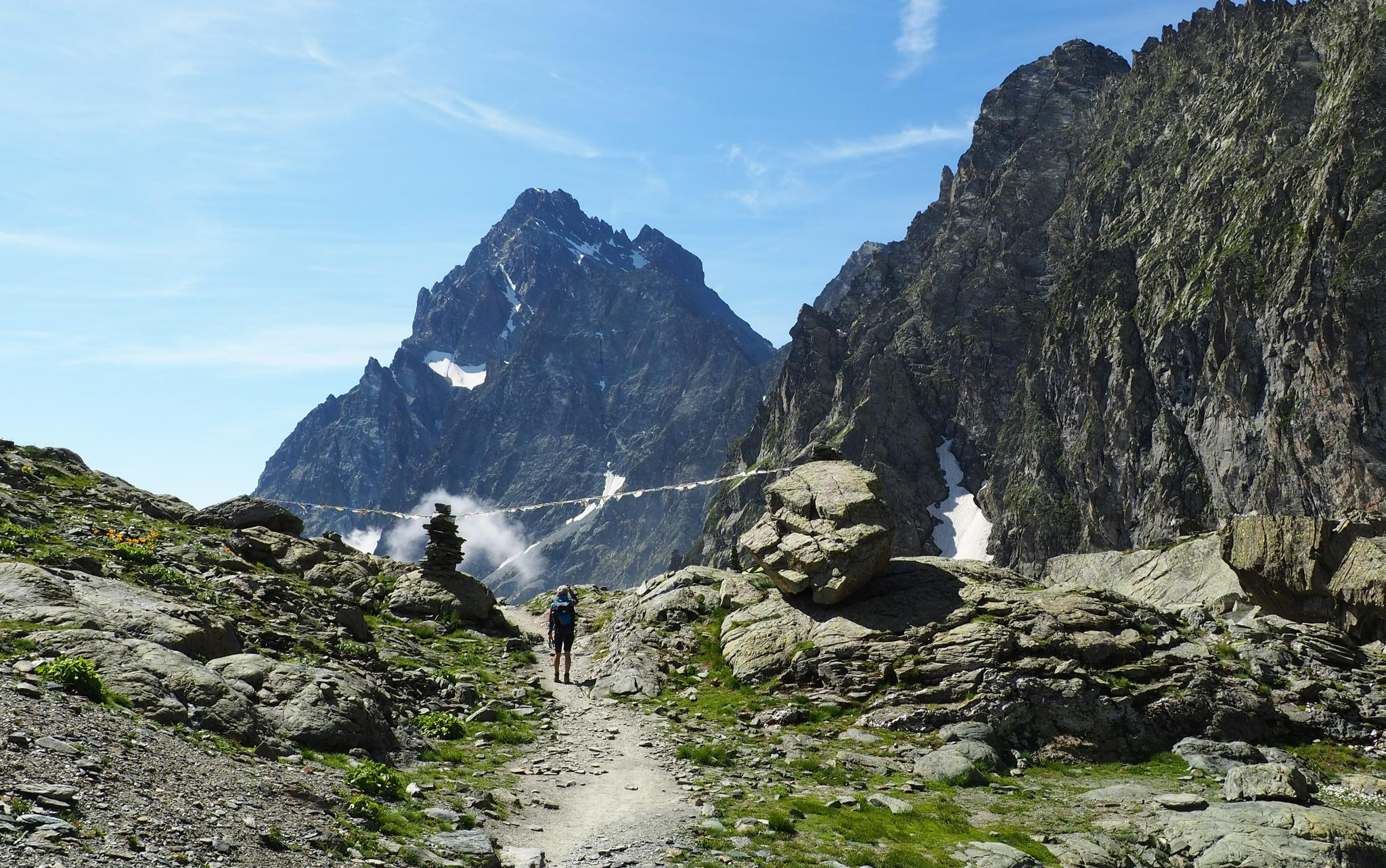
On the trails of the Stone King – trekking among the huts of Monviso
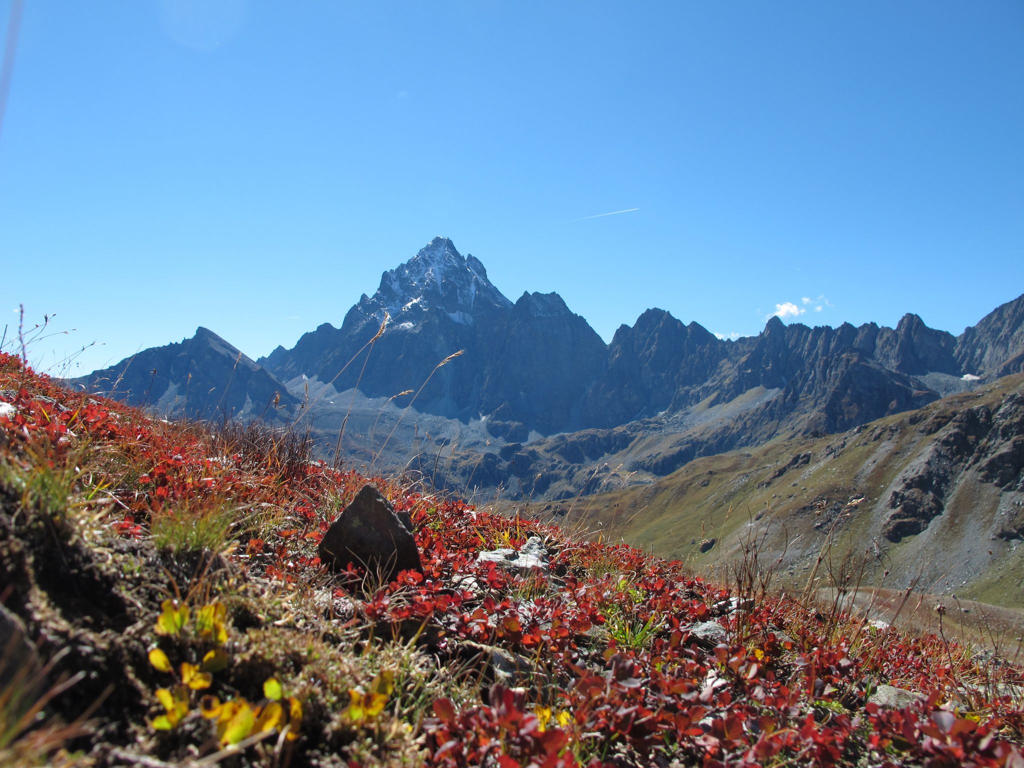
Three days around il Re di Pietra ─ Giro di Viso from Castello
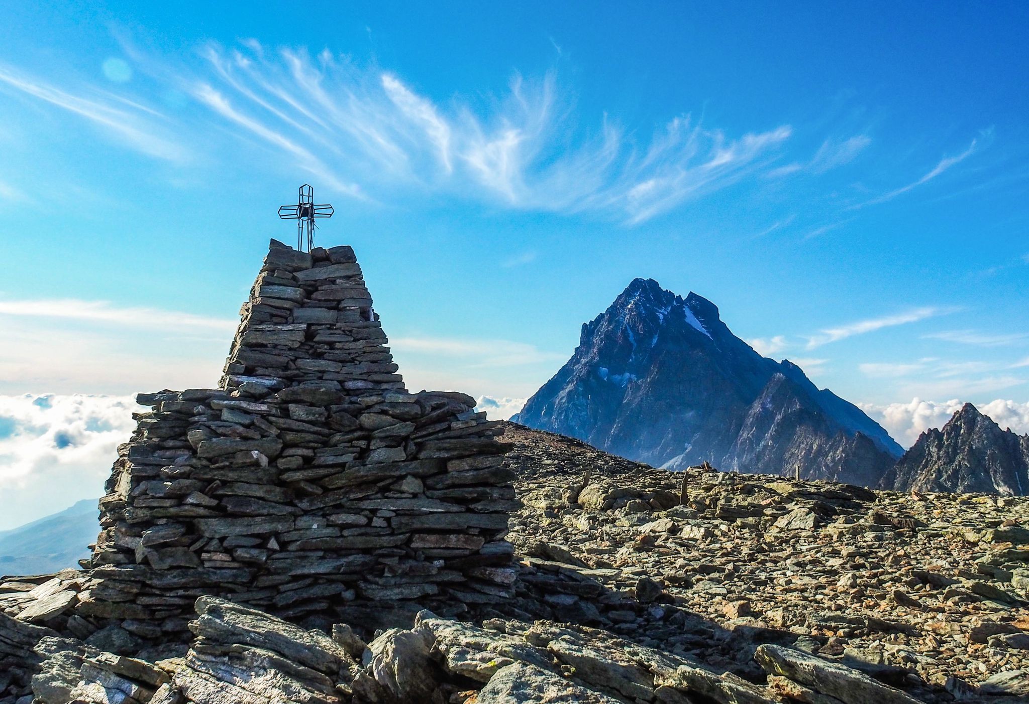
Where birds of prey swoop – 8 peaks over 3,000 metres in Monviso
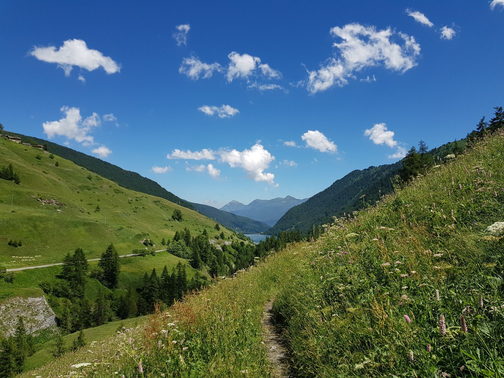
Varaita Valley Trekking – a journey into the lands of Italy’s Monviso
The Tour of Mount Viso – hike around Italy’s Stone King
Other adventures around Parco Naturale Regionale del Monviso


Tips from the Community

Beautiful village on the road between Sampeyre and Casteldelfino. Right at the entrance, a pretty little church greets you, then a small square with a drinking fountain and a beautiful wooden statue. The rest is made up of beautiful, well-restored houses. Worth a visit.
0
0
Perched at the crossroads of the Varaita di Chianale and Bellino valleys, a small village with several points of interest - immediately visible upon arriving from the valley, the civic tower and the two churches; upstream, the museum of the People's Saints, of dubious taste but perhaps for that reason interesting; stunning views of the surrounding mountains; many beautiful hikes in the vicinity; and easy access to the two summit valleys. A beautiful place for both a day trip and a holiday.
0
0
Frazione di Pontechianale in correspondence with the dam. The highlight is the view of the Pontechianale lake - but the church and the fountain are also worth attention.
0
0
Registered among the most beautiful villages in Italy, and for good reason. A pearl set in the majestic scenery of the Cottian Alps, all restored and cleaned up. A dream village.
0
0

From here you can enjoy a breathtaking view, both towards Italy and France. Unfortunately, I caught it during roadwork and resurfacing, but I'd be curious to see it once it's finished.
0
0

Ecclesiastical structure kept in perfect condition.
13
0

Colle dell'Agnello (2,744 meters above sea level - Col Agnel in French; Còl dl'Agnél in Piedmontese) is an Alpine pass in the Cottian Alps (Monviso Alps), as well as the second-highest road pass in Italy and the third-highest in Europe [N 2], preceded only by the Colle dell'Iseran [N 3] in the French Alps and the Stelvio Pass in the Ortler Alps. Located southwest of Monviso, between Pan di Zucchero and Punta dell'Alp, it connects Italy to France from the Piedmontese municipality of Pontechianale to the French municipality of Molines-en-Queyras in the Hautes-Alpes department [N 4]. It was inaugurated in 1973 by expanding a pre-existing dirt military road; It has been a transit point for several stages of the Giro d'Italia and the Tour de France and a popular destination for summer camps for amateur astronomers, offering one of the observation sites with the darkest, most pristine sky and accessible by normal vehicles.
0
0

Climb that demands strength and stamina.
6
0
Frequently Asked Questions
What kind of terrain can I expect when road cycling around Parco Naturale Regionale del Monviso?
The region offers a dynamic range of terrain, from low plains to high alpine peaks. You'll encounter challenging Alpine passes, some of which have been featured in prestigious events like the Tour de France and Giro d'Italia. Routes can take you through extensive forests like the Alevé Woods, past picturesque alpine lakes, and across high-altitude meadows, providing varied backdrops for your ride.
How many road cycling routes are available in Parco Naturale Regionale del Monviso?
There are over 20 road cycling routes documented in the Parco Naturale Regionale del Monviso area, catering to various skill levels. These include both moderate and difficult options, ensuring there's a suitable challenge for most cyclists.
Are there challenging road cycling routes for experienced riders?
Yes, the region is renowned for its challenging Alpine passes and significant elevation gains. Over half of the routes are classified as difficult, offering demanding climbs and descents. For example, the Sampeyre Pass – Pian Pietro loop from Colle di Sampeyre is a difficult route with substantial elevation gain, and the Pian della Regina – Via Pian del Re loop from Pian del Re also features significant elevation through high mountain landscapes.
What natural features and landmarks can I see along the road cycling routes?
You'll encounter breathtaking natural beauty. Many routes offer views of Monviso, the 'Stone King,' and some pass by the Source of the Po River at Pian del Re. You can also cycle past stunning alpine lakes such as Lake Fiorenza and Lake Pontechianale, or through the ancient Alevé Woods. The area is rich in diverse ecosystems, from forests to high-altitude meadows.
Are there any historical sites or cultural attractions near the cycling routes?
Beyond its natural beauty, the region offers historical sites. You can explore ancient castles, fortresses, and the renowned Cistercian Abbey of Staffarda, adding a cultural dimension to your cycling adventure. These sites are often found in the charming towns and villages nestled within the valleys.
What do other road cyclists say about their experience in Parco Naturale Regionale del Monviso?
The road cycling routes in Parco Naturale Regionale del Monviso are highly rated by the komoot community, with an average score of 4.7 stars from over 40 reviews. Cyclists often praise the challenging Alpine passes, the iconic Monviso mountain views, and the scenic alpine lakes that define the area's diverse terrain.
What is the best time of year for road cycling in the Monviso region?
The best time for road cycling in the Monviso region is generally from late spring to early autumn (May to October). During these months, the weather is more stable, and the high alpine passes are typically clear of snow, allowing access to the full network of routes. Summer offers the warmest temperatures, while spring and autumn provide cooler rides and vibrant seasonal colors.
Are there any circular road cycling routes in the area?
Yes, many of the road cycling routes in Parco Naturale Regionale del Monviso are designed as loops, allowing you to start and finish in the same location. Examples include the Pian della Regina Plateau – Via Pian del Re loop from Crissolo and the Chianale Village – Lac de Pontechianale loop from Casteldelfino, which offer varied distances and difficulties.
Where can I find parking for road cycling routes in Parco Naturale Regionale del Monviso?
Parking is generally available in the towns and villages that serve as starting points for many routes, such as Crissolo, Casteldelfino, and Pian del Re. Specific parking areas are often designated near trailheads or popular attractions. It's advisable to check local signage upon arrival for the most accurate information.
Can I reach the road cycling routes using public transport?
Access to the Parco Naturale Regionale del Monviso area by public transport is possible, though it may require some planning, especially for reaching higher alpine starting points. Major towns like Savigliano and Saluzzo, located in the plains, are better connected. From there, local bus services might operate to some of the smaller villages within the park, particularly during peak tourist seasons. It's recommended to check regional transport schedules in advance.
Are there places to eat and drink along the road cycling routes?
Yes, you'll find amenities such as cafes, restaurants, and small shops in the various towns and villages scattered throughout the valleys and along some of the routes. Mountain huts, like the Pian del Re Hut or the Quintino Sella Hut, also offer refreshments and accommodation, especially in higher elevations. Planning your route to pass through these villages or near huts is a good idea for refuelling.
Are there any easy or beginner-friendly road cycling routes in the Monviso area?
While the region is known for its challenging climbs, there are moderate routes suitable for those looking for a less strenuous experience or for beginners. For instance, the Pian della Regina Plateau – Via Pian del Re loop from Crissolo is classified as moderate and offers ascents towards the source of the Po River without the extreme difficulty of the highest passes. The region has 8 moderate routes available.
Is it possible to rent a road bike in the Parco Naturale Regionale del Monviso area?
Yes, bike rental services are available in some of the larger towns and tourist centers surrounding or within the Parco Naturale Regionale del Monviso. It's advisable to search for rental shops in towns like Saluzzo, Savigliano, or even some of the more popular valley villages, especially if you require specific road bike models or sizes. Booking in advance is often recommended, particularly during high season.
Most popular routes around Parco Naturale Regionale del Monviso
Most popular attractions around Parco Naturale Regionale del Monviso

Get inspired with the komoot mobile app


Explore more
Browse the best Road cycling routes in other regions.
