Routes

Planner

Features

Updates

App

Login or Signup

Get the App

Login or Signup

Routes
Hikes
Italy
Piedmont
Cuneo

Parco Naturale Regionale del Monviso

Routes
Hikes
Italy
Piedmont
Cuneo

Parco Naturale Regionale del Monviso

The best walks and hikes around Parco Naturale Regionale del Monviso

4.6

(5525)

34,959

hikers

75

hikes

Hiking around Parco Naturale Regionale del Monviso offers diverse terrain, dominated by the Monviso peak at 3,841 meters (12,602 feet). The park encompasses the source of the Po River at Pian del Re and features the Bosco dell'Alevé, the largest Swiss pine wood in the Western Alps. Elevations range from 240 meters (787 feet) to the high alpine summit, creating landscapes that include lush forests, alpine meadows, and rocky scree. The region is characterized by significant geological features and a network of trails through varied ecosystems.

Best hiking trails around Parco Naturale Regionale del Monviso

  • The most popular hiking route is Tour of Monviso - Stage 4, a difficult 8.4 miles (13.6 km) trail that takes 6 hours 45 minutes to complete. This route traverses high alpine passes with significant elevation gain.
  • Another top favourite among local hikers is From the source of the Po to lakes Fiorenza and Lausetto — Ring tour, a moderate 3.5 miles (5.7 km) path. This trail explores the area around the Po River's source, passing several scenic alpine lakes.
  • Local hikers also love the Refuge and Lake Vallanta, an 8.4 miles (13.5 km) trail leading through high mountain valleys and past a prominent alpine lake, often completed in about 5 hours 57 minutes.
  • Hiking around Parco Naturale Regionale del Monviso is defined by majestic alpine peaks, the source of the Po River, and extensive pine forests. The network offers options for various ability levels, from moderate lake loops to challenging multi-day treks.
  • The routes in Parco Naturale Regionale del Monviso are highly rated by the komoot community with an average score of 4.6 stars from more than 1300 reviews. More than 8600 hikers have used komoot to explore Parco Naturale Regionale del Monviso's varied terrain.

Last updated: July 7, 2026

4.7

(125)

770

hikers

#1.

Tour of Monviso - Stage 4

13.6km

06:45

1,030m

1,030m

Embark on the challenging Tour of Monviso - Stage 4, a difficult hike that takes you through a diverse alpine landscape. You will cover 8.4 miles (13.6 km) and ascend 3386 feet (1032 metres), requiring about 6 hours and 45 minutes to complete. As you hike, expect to traverse high-altitude rocky basins and follow serene paths alongside streams. The route also leads you through dense pine forests, offering varied scenery throughout your journey. Keep an eye out for the captivating Lake Fiorenza and the strikingly milky blue Lake Chiaretto, which provide excellent views of the iconic Monviso peak.

This stage of the Tour of Monviso is considered difficult, so make sure you have good fitness and are sure-footed for the terrain. Some sections of the overall trek might require alpine experience, so be prepared for varied conditions. You can generally find parking available at trailheads such as Pian del Re, which is a common starting point for this area. Plan your visit during suitable weather windows, as alpine conditions can change rapidly.

This route offers a classic alpine experience around the iconic Monviso peak, often referred to as the "Stone King." Beyond the stunning lakes, you will also pass by the source of the Po River, Italy's longest river, adding a unique geographical highlight to your journey. The area's natural beauty and significant landmarks make this stage a memorable part of the Monviso circuit.

Navigate with device

Send to Phone

Save

Hard

Embark on a moderate hike from Pian del Re, the official source of Italy's Po River, on this 3.5-mile (5.7 km) ring tour. You will gain about 1169 feet (356 metres) in elevation over approximately 2 hours and 30 minutes, traversing picturesque alpine meadows and varied terrain. The trail offers magnificent views of Monviso and Visolotto reflecting in the clear waters of glacial lakes like Fiorenza and Lausetto, creating a peaceful experience.

This route requires good fitness and sure-footedness, as some sections involve challenging inclines and exposed paths, especially towards Lago Chiaretto. While many paths are accessible, inexperienced hikers might find certain ascents difficult. Plan your visit to start at Pian del Re, where you can witness the stone inscription marking the Po's origin before heading into the mountains.

The trail is a popular and well-regarded choice in the Cottian Alps of Piedmont, known for its unique combination of natural beauty and geographical significance. You will encounter several pristine alpine lakes with distinct colors, such as the emerald and turquoise hues of the glacial waters. This hike provides spectacular, close-up views of the prominent Monviso massif, making it a truly memorable alpine adventure.

Moderate
guide_signup
Let us show you the way with the komoot mobile app
With a free komoot account, you can easily find, customize, and navigate endless outdoor adventures.

Sign up for free

4.8

(101)

558

hikers

13.5km

05:57

820m

820m

Embark on a difficult 8.4-mile (13.5 km) hike to Refuge and Lake Vallanta, a route that challenges you with 2680 feet (817 metres) of elevation gain and takes about 5 hours and 57 minutes to complete. You will traverse demanding terrain, including steep ascents to high passes and equally steep descents through wide alpine valleys and lush meadows. Expect rocky sections, scree slopes, and even persistent snowfields in higher areas, all while enjoying panoramic views of the majestic Monviso mountain and the picturesque French Guil Valley.

This trail is best suited for experienced hikers ready for high-altitude conditions and significant elevation changes. Even in late summer, you might encounter snowfields, especially near the passes, so consider bringing hiking poles. If you plan to hike in early summer, crampons might be necessary for safety. Be prepared for stream crossings along the route.

The Refuge and Lake Vallanta trail is a key segment of the renowned Giro del Monviso, one of the most famous treks in the Southern Alps. A highlight is crossing the Italy-France border at the Passo di Vallanta, situated at 2,811 meters. You also have the option to pass through the ancient 75-meter-long Buco di Viso tunnel, carved through the mountain in the 15th century. Mountain huts like Rifugio Vallanta offer convenient spots for overnight stays.

Hard

Embark on a challenging 6.3-mile (10.1 km) hike from Pian del Re, gaining 2976 feet (907 metres) in elevation over approximately 5 hours and 23 minutes. This difficult route takes you through diverse alpine landscapes, from lush meadows dotted with wildflowers to rugged, rocky sections beneath imposing peaks. As you ascend, you'll be treated to expanding panoramic views of countless alpine summits, with the majestic north face of Mount Monviso often in sight. Keep an eye out for ibex near observation points, adding to the wild atmosphere of this high-mountain journey.

You can start this adventure by driving to Pian del Re from Crissolo village, where parking is available. This point is also notable as the source of the Po River, adding a unique geographical interest to your starting location. Since this is a demanding high-alpine route, plan your visit for favorable weather conditions, typically from late spring to early autumn. The Refuge du Viso, located at the trail's end, provides accommodation and hearty meals if you plan to extend your stay on the French side.

This trail is a segment of the historic Via Alpina Blue Trail, leading you to the French border through the remarkable Buco di Viso. This tunnel, carved through solid rock in the 15th century, stands as the Alps' first alpine tunnel, making your passage into France a journey through history. The Rifugio Pian del Re, built in 1874, marks the starting point, originally serving climbers tackling Monviso.

Hard

4.7

(68)

426

hikers

Embark on the Monte Granero and Monte Meidassa loop in Valle Po for a truly demanding high-alpine hike. This difficult route spans 8.2 miles (13.2 km) with a significant elevation gain of 4025 feet (1227 metres), typically taking around 7 hours and 14 minutes to complete. You will navigate varied terrain, including mountain and alpine paths, some unpaved or gravel, with sections requiring careful navigation over loose scree and even grade II climbing on the final push to Monte Granero. From Monte Meidassa, you can enjoy expansive views of the majestic Monviso massif, often called the "the King," and on clear days, even distant peaks like the Matterhorn and Monte Rosa.

To tackle this challenging loop, you need a very good level of fitness, sure-footedness, sturdy mountain shoes, and alpine experience. Parts of the route involve technical or hazardous terrain, and specialist equipment may be required for safety. The final ascent to Monte Granero demands maximum caution due to its technical nature. This trail offers a genuine high-alpine experience, traversing altitudes above 3,000 meters, so be prepared for conditions typical of such elevations.

One of the most unique features of this trail is the historic Buco di Viso, or Tunnel de la Traversette. This 75-meter long tunnel, carved into the rock at 2,882 meters, was completed in 1480, making it the first Alpine tunnel. Commissioned by Ludovico II, Marquis of Saluzzo, it was a marvel of civil and alpine engineering designed to facilitate trade. The loop also offers continuous views of the iconic Monviso Massif and passes through Pian Mait, a crucial viewpoint and crossing point for the famous Giro del Monviso.

Hard
Sign up for free to see 71 more hikes around Parco Naturale Regionale del Monviso.

Get access to more routes and recommendations from other explorers.

Sign up for free

Already have an account?

Our route recommendations are based on thousands of hikes, rides, and runs completed by other people on komoot.

Start today with a free account

Your next adventure awaits.

Login or Signup

Popular around Parco Naturale Regionale del Monviso
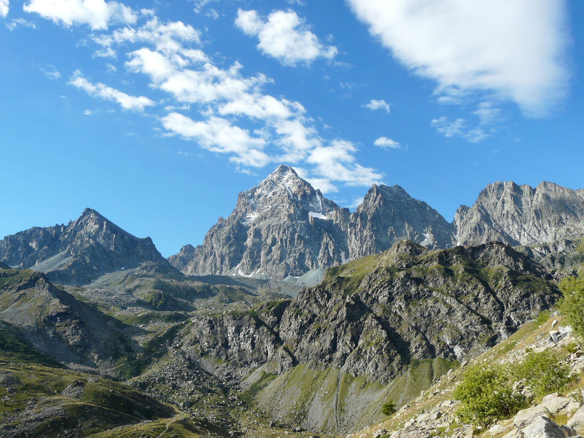
Tour di Viso – Four days around the Stone King from Castello
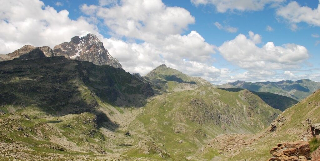
Tour di Viso – Four days around the Stone King from Meire Dacant
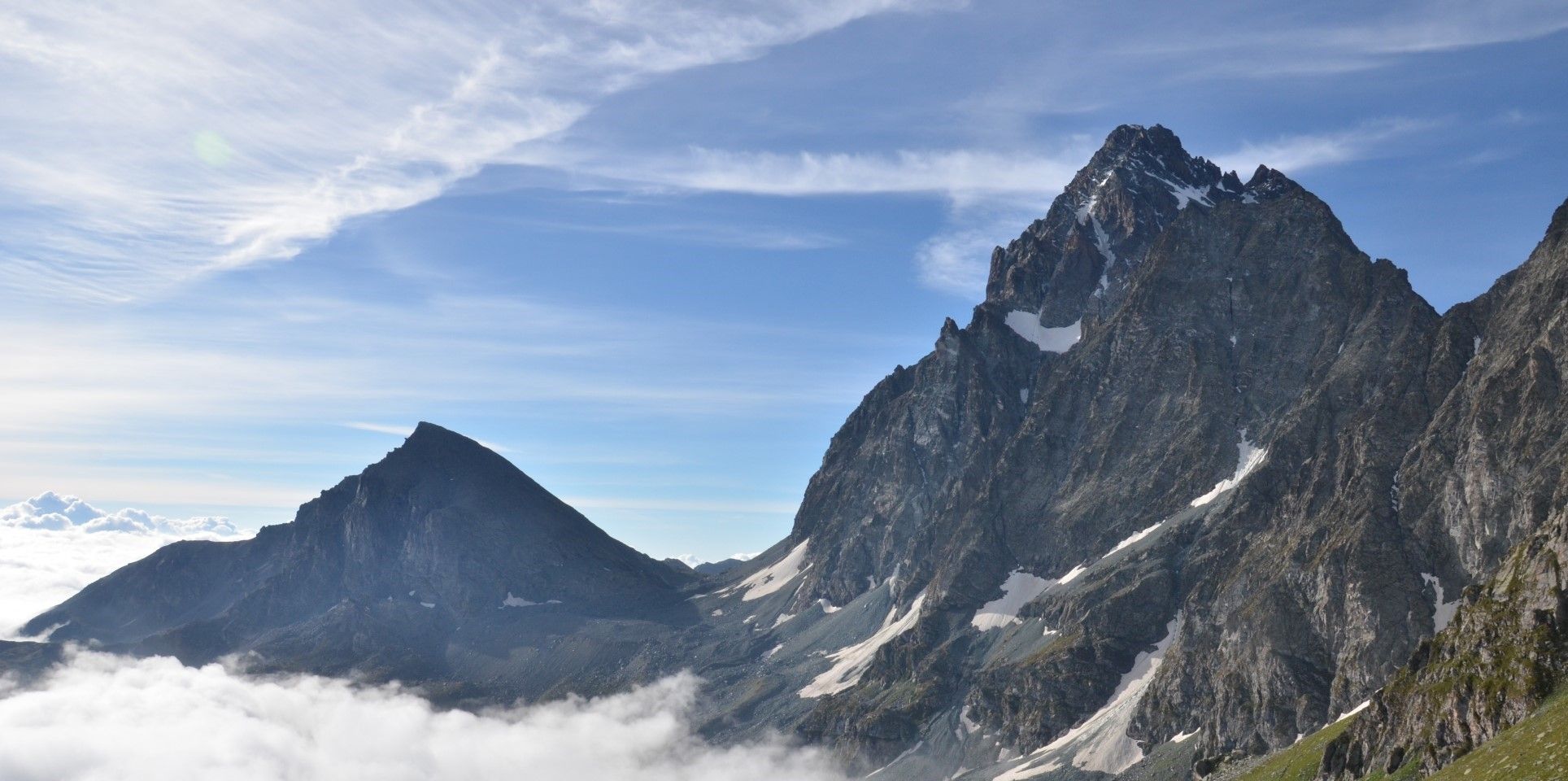
Viso Tour from Castello (variant) – Three days around the Stone King
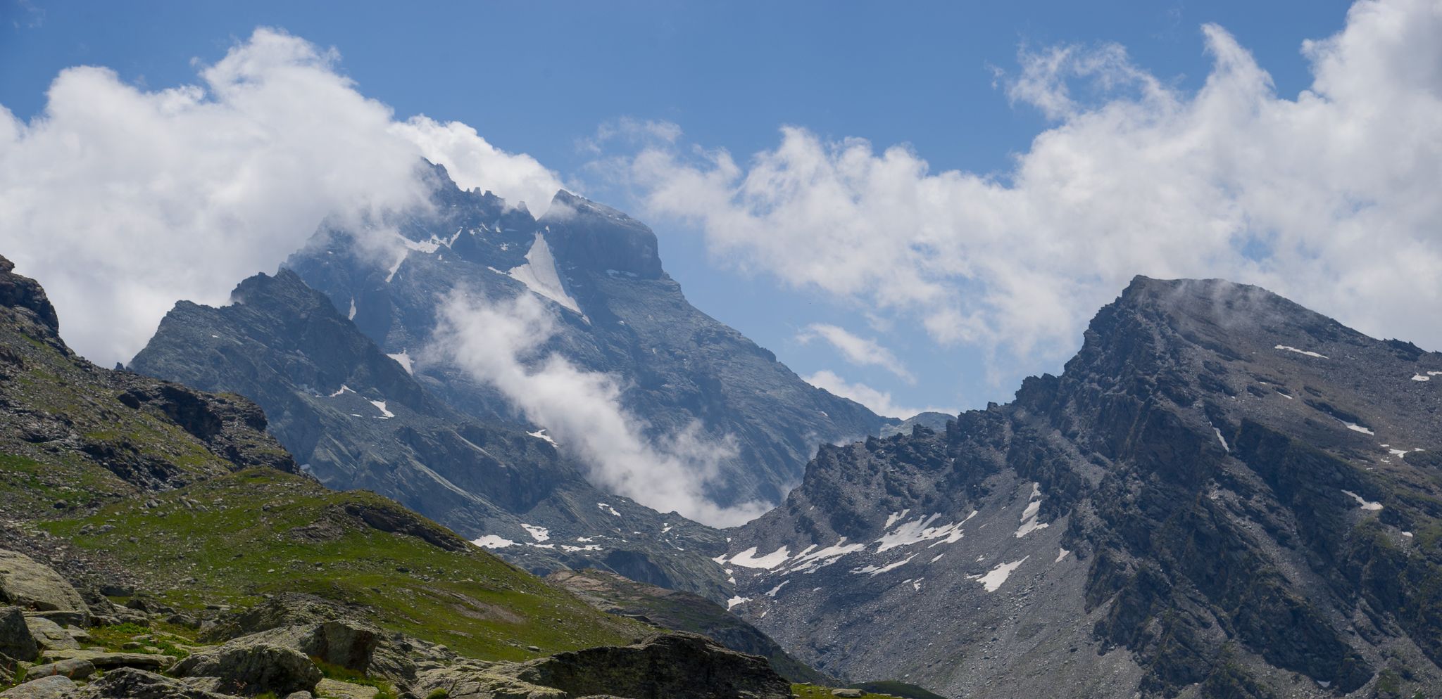
Tour di Viso from Pian del Re – Three days around the Stone King

GTA South Piedmont — Hiking in Italy's Occitan valleys
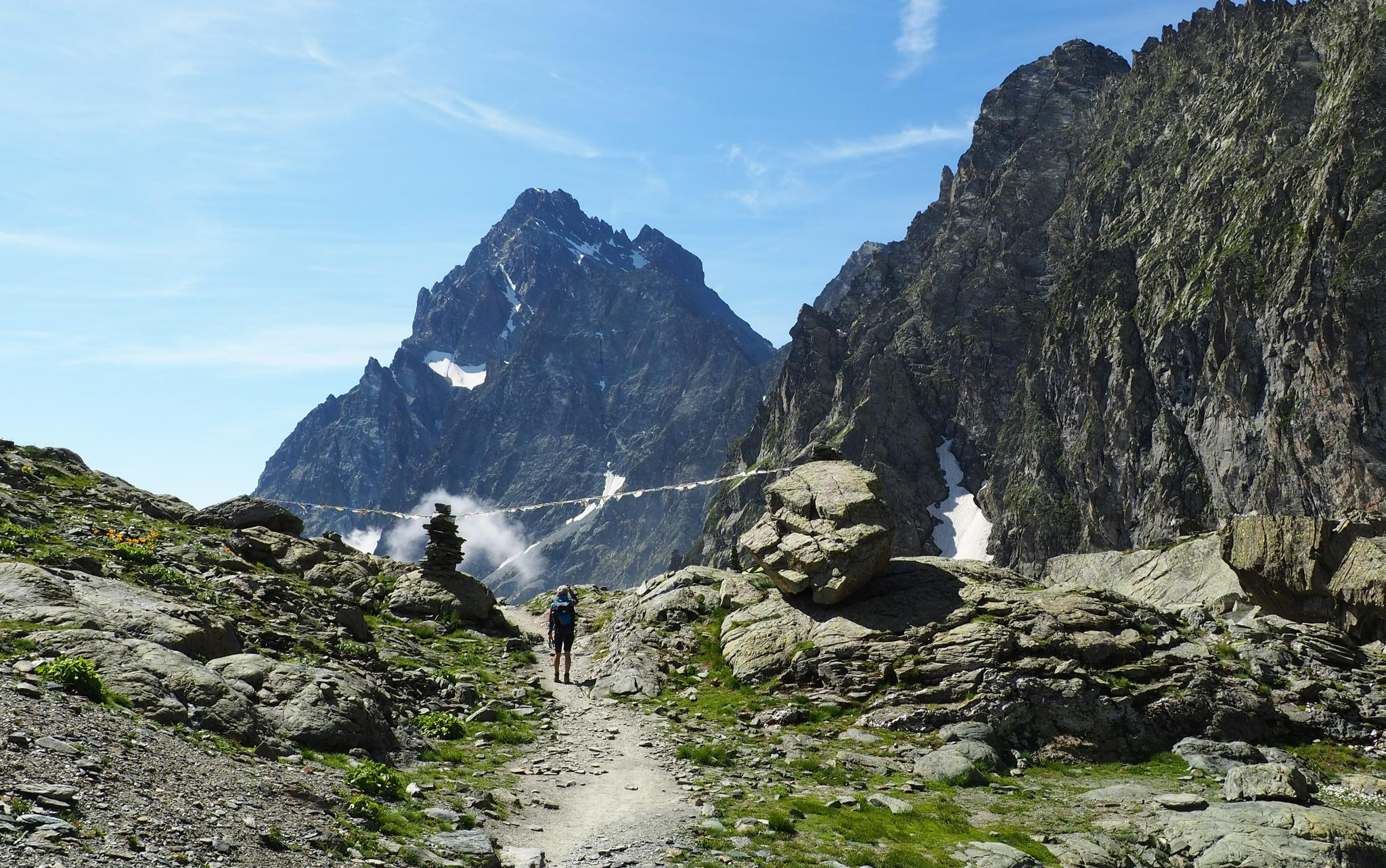
On the trails of the Stone King – trekking among the huts of Monviso
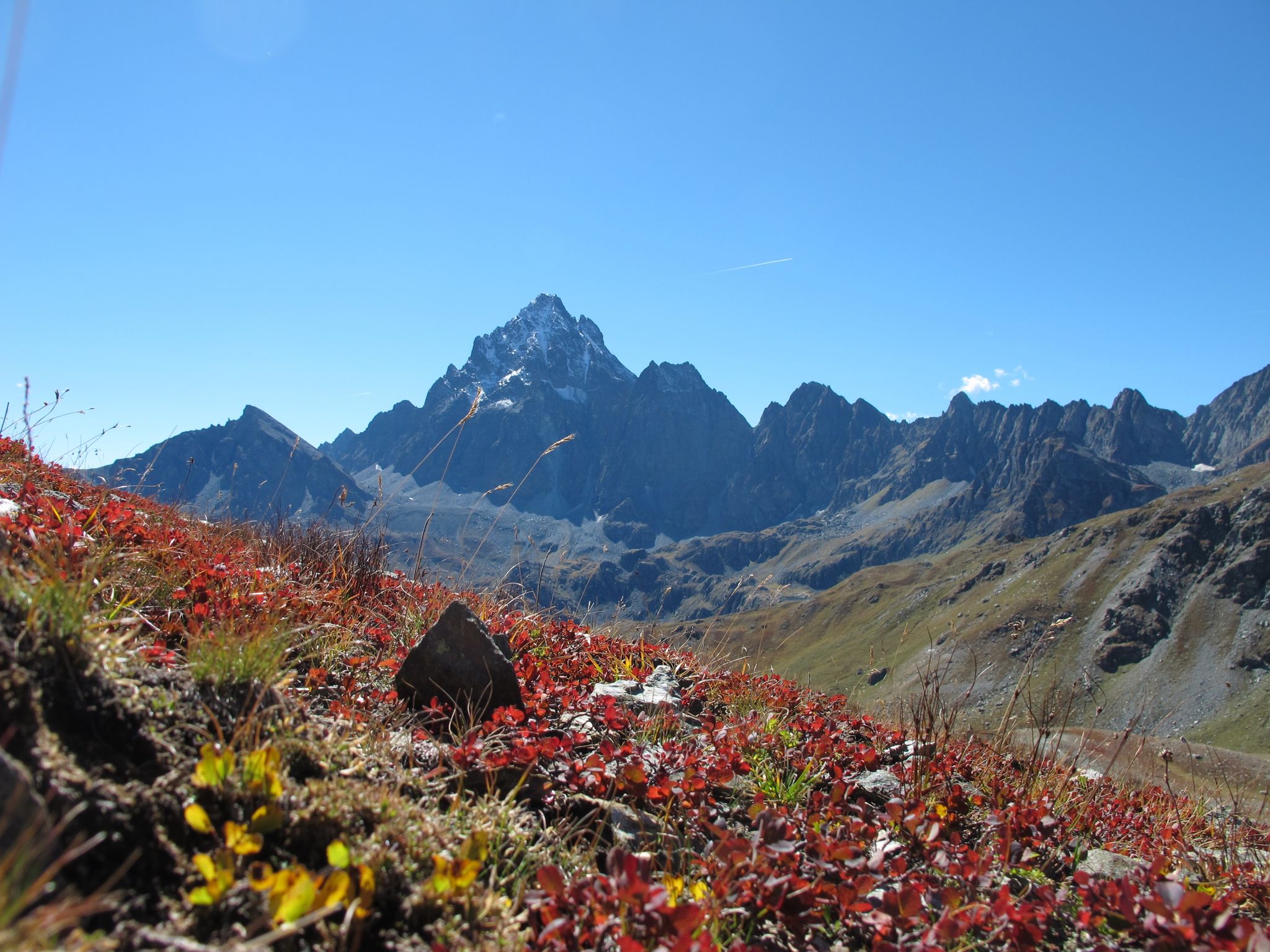
Three days around il Re di Pietra ─ Giro di Viso from Castello
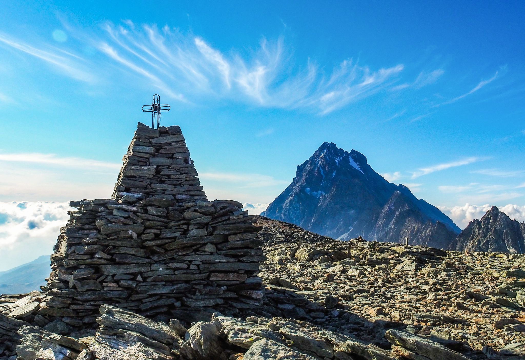
Where birds of prey swoop – 8 peaks over 3,000 metres in Monviso
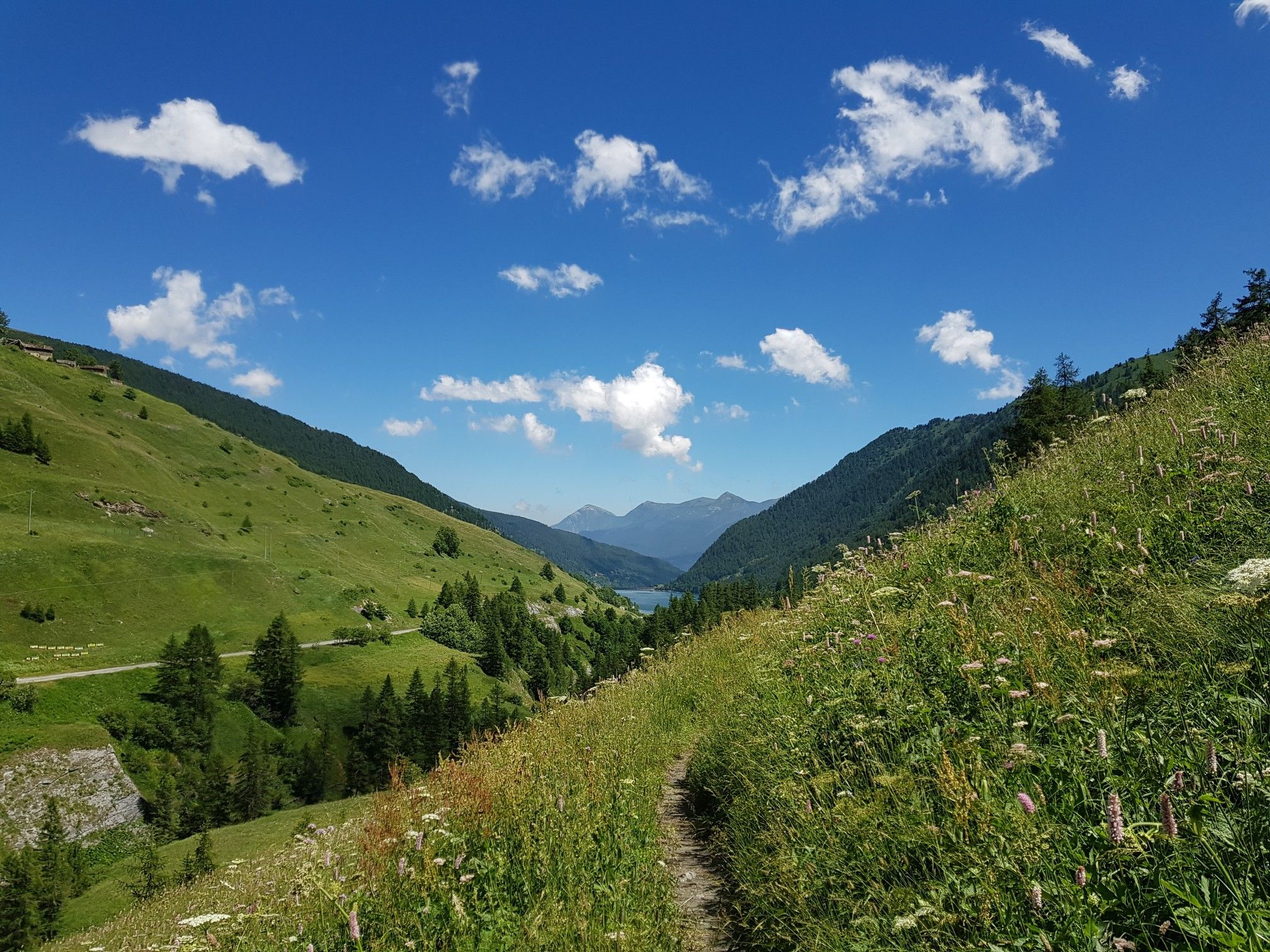
Varaita Valley Trekking – a journey into the lands of Italy’s Monviso
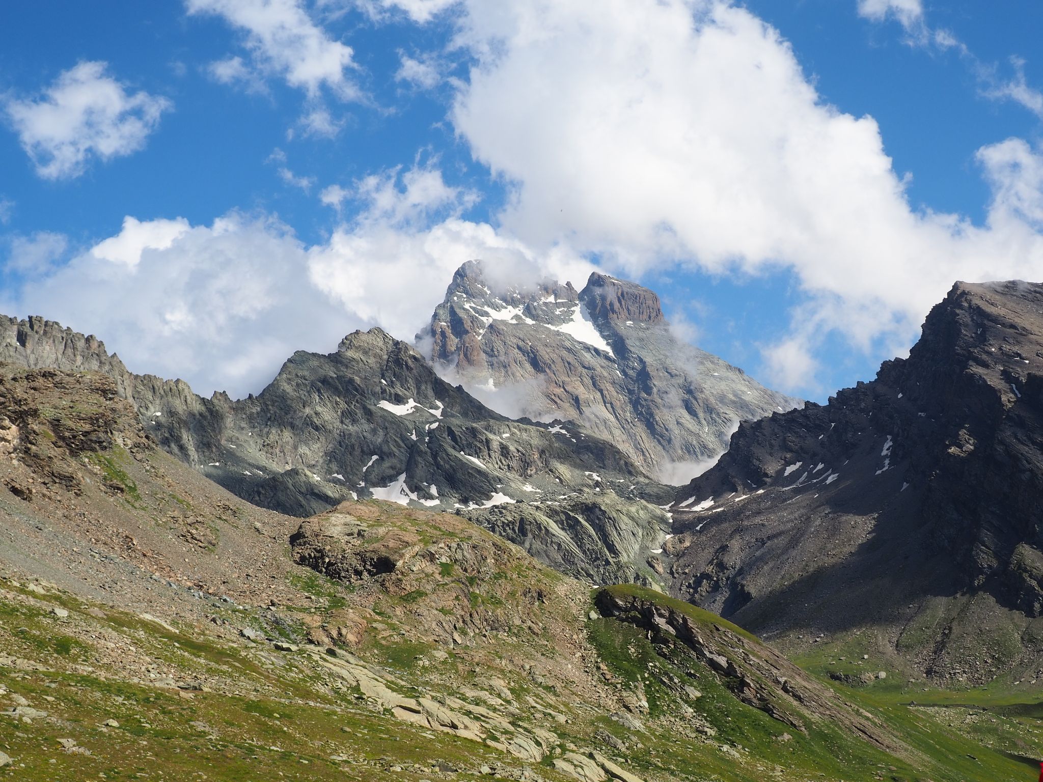
The Tour of Mount Viso – hike around Italy’s Stone King

Other adventures around Parco Naturale Regionale del Monviso

Tour di Viso – Four days around the Stone King from Castello

Hiking Collection by

Parco del Monviso

Tips from the Community

Mauro
October 20, 2025, Lac de Fiorenza

Beautiful and famous lake easily reachable from Pian del Re and Regina.

Translated by Google

0

0

little piece of the pd path-

Translated by Google

0

0

Mauro
August 15, 2025, Colle di Viso

Good physical fitness and a good sense of direction are required; trails are not always marked. Mountaineering gear: poles, appropriate clothing, and footwear are essential.

Translated by Google

0

0

A beautiful hike with diverse environments and colors, from pastures, lakes, and rocky valleys. The climb to the summit is quite strenuous (especially for us, starting in the morning from sea level), but it's worth it.

Translated by Google

0

0

Tough climb but quite fast.

Translated by Google

0

0

The first structure of the Pian del Re refuge hotel was built by the Municipality of Crissolo in 1874 to accommodate mountaineers intent on climbing the Normal route of Monviso. In 1909 it became privately owned and management passed to the Perotti family, a historic dynasty of mountain guides of Monviso. Numerous paths start from here, both for day trips and for multi-day treks, such as the Giro del Monviso, or mountaineering itineraries, including the Normal route of Monviso. The refuge is open every day from the beginning of June to the end of September and offers 30 beds, in addition to a bar and restaurant service. For more information, visit the website: https://www.rifugiopiandelre.it.

Translated by Google

2

0

From Plain Mait you can see in the distance the Casermette that precede the Buco di Viso

Translated by Google

0

0

Done in two days it remains less demanding with an overnight stay at the Vallanta refuge

Translated by Google

0

0

Frequently Asked Questions

How many hiking trails are available in Parco Naturale Regionale del Monviso?

Parco Naturale Regionale del Monviso offers a wide selection of routes, with over 70 hiking trails documented on komoot. These range from easy walks to challenging multi-day treks, catering to various skill levels.

What is the best time of year to go hiking in Parco Naturale Regionale del Monviso?

The best time for hiking in Parco Naturale Regionale del Monviso is typically during the summer months, from June to September. During this period, the weather is generally pleasant, and most trails are easily accessible. Spring and autumn also offer beautiful scenery with blooming wildflowers or vibrant foliage, though some higher-altitude trails might still have snow or be less accessible.

What kind of terrain can I expect on the hiking trails in Parco Naturale Regionale del Monviso?

The park features diverse terrain, from lush forests and alpine meadows at lower elevations to grasslands and rocky scree above the tree line. You'll encounter varied landscapes, including the extensive Bosco dell'Alevé (the largest Swiss pine wood in the Western Alps) and high alpine passes dominated by the majestic Monviso peak.

Are there any family-friendly hiking trails in Parco Naturale Regionale del Monviso?

Yes, there are family-friendly options available. For instance, the route From the source of the Po to lakes Fiorenza and Lausetto — Ring tour is a moderate 3.5 miles (5.7 km) path that explores the area around the Po River's source, passing several scenic alpine lakes, making it suitable for families.

Can I hike with my dog in Parco Naturale Regionale del Monviso?

While the park generally welcomes dogs, specific regulations apply to protect wildlife and ensure the safety of all visitors. Dogs are usually required to be kept on a leash, especially in sensitive areas or during certain seasons. It's always best to check local signage or the park's official guidelines for the most current rules before heading out.

Are there any circular hiking routes in Parco Naturale Regionale del Monviso?

Yes, the park offers several circular routes. A notable example is From the source of the Po to lakes Fiorenza and Lausetto — Ring tour, which provides a scenic loop around the source of the Po River and alpine lakes. Another option is Monte Granero and Monte Meidassa – loop in Valle Po, a more challenging circular trail.

What natural landmarks or attractions can I see while hiking in Parco Naturale Regionale del Monviso?

The park is rich in natural wonders. You can witness the source of Italy's longest river at Pian del Re, explore the ancient Swiss pine forest of Bosco dell'Alevé, and marvel at the majestic Monviso peak. Many trails also lead past beautiful alpine lakes like Fiorenza and Lausetto, and offer views of geological formations such as the "green stones" of Monviso.

Are there mountain huts or refuges available for longer hikes?

Yes, for multi-day treks or longer excursions, mountain huts and refuges are available. The Quintino Sella Hut on Monviso is a well-known base for those undertaking the famous "Giro del Monviso" or aspiring to climb Monviso. Other options include the Vallanta Hut and the Bagnour Hut and Lake Bagnour.

What is the most challenging hike in the region?

Among the more challenging routes is the Tour of Monviso - Stage 4, an 8.4 miles (13.6 km) trail that traverses high alpine passes with significant elevation gain, typically taking around 6 hours 45 minutes to complete. Another difficult option is Pian del Re to France via historic Buco di Viso tunnel, which involves a substantial ascent.

What do other hikers enjoy most about hiking in Parco Naturale Regionale del Monviso?

The area is highly rated by the komoot community, with an average score of 4.6 stars from over 1300 reviews. Reviewers often praise the majestic alpine peaks, the unique experience of visiting the source of the Po River, and the extensive, well-maintained network of trails that cater to various abilities.

Are there any historical or cultural sites to explore within the park?

Beyond its natural beauty, the park holds historical significance. You can find ruins of ancient castles and fortresses, and visit the renowned Cistercian Abbey of Staffarda within the park's boundaries. The Tunnel de la Traversette (Buco di Viso) is also a historic man-made monument, representing one of the oldest alpine tunnels.

How can I access Parco Naturale Regionale del Monviso by public transport?

Access to Parco Naturale Regionale del Monviso by public transport can be limited, especially to higher-altitude trailheads like Pian del Re. While some local bus services might connect to towns near the park's periphery, direct routes to specific hiking starting points are less common. It's advisable to check regional transport schedules in advance or consider carpooling for easier access to trailheads.

Most popular routes around Parco Naturale Regionale del Monviso

Family-friendly hikes around Parco Naturale Regionale del Monviso

Most popular attractions around Parco Naturale Regionale del Monviso

Places to see

Store rating

Get inspired with the komoot mobile app

With a free komoot account, you can easily find, customize, and navigate endless outdoor adventures.

or

Join komoot Now

Store rating

Explore more

Browse the best Hikes in other regions.

Parco Naturale delle Alpi MarittimeValdieriAcceglioEntracquePontechianaleCrissoloCanosioVinadioBellinoParco naturale della Alta Valle Pesio e TanaroParco Naturale del MarguareisLimone PiemonteChiusa Di PesioLake artificiale di CastelloCastelmagnoRoccaforte MondovìArgenteraOrmeaVernantePietraporzioGaressioSampeyreOncinoFrabosa SottanaStroppoBriga AltaElvaMarmoraPradlevesDemonteSambucoBovesMoiolaFrabosa SopranaMonterosso GranaLa MorraPaesanaPrazzoMacraSan Damiano MacraIsascaBacino del ChiotasMellePriolaRoburentRoaschiaMonforte D'AlbaRiserva Naturale Delle Grotte Di BosseaBaroloMagliano AlpiNeiveRoccabrunaCastellino TanaroPrieroRobilanteSanfrontBrossascoRiserva Naturale Di Rocca San Giovanni - SabenNeviglieOstanaValloriateMarsagliaPeveragnoCapraunaDroneroTreisoTrezzo TinellaValmalaCasteldelfinoLake della RovinaPerloCamoVillar San CostanzoMontaldo Di MondovìMontemale Di CuneoBeinetteAlbaEnvieAltoPamparatoLequio BerriaIglianoPocapagliaSinioBorgo San DalmazzoVenascaBuscaCeresole AlbaBergoloAlbaretto Della TorreAisoneLeviceRoascioRoddinoMangoFrassinoMonasterolo CasottoFeisoglioRittanaSant'Albano SturaMonchieroBrondelloCelle Di MacraCastellinaldo D'AlbaMurazzanoSale Delle LangheCostigliole SaluzzoValgranaCastelnuovo Di CevaMontelupo AlbeseTorre BormidaRoccavioneBattifolloNucettoBorgomaleSaluzzoSanto Stefano RoeroCartignanoMartiniana PoBagnascoFossanoLequio TanaroPerlettoPiascoMontàParoldoRocca CiglièRocchetta BelboCortemiliaVillafallettoTorresinaCastellarVerzuoloPagnoMombasiglioVottignascoGambascaVezza D'AlbaNarzoleBagnolo PiemonteLagnascoScagnelloPezzolo Valle UzzoneVicoforteBelvedere LangheRifreddoCiglièBenevelloCissoneBastia MondovìSanto Stefano BelboMonastero Di VascoRossanaCastiglione FallettoTrinitàSommariva Del BoscoRodelloBarbarescoPiobesi D'AlbaNiella TanaroCastinoMonesiglioSerralunga D'AlbaBossolascoMantaTarantascaRoccasparveraVignoloRoburentNovelloRevelloGaiolaCastagnitoMontezemoloDiano D'AlbaBernezzoCherascoArguelloGrinzane CavourCervascaMonteu RoeroMondovìBargeBaldissero D'AlbaSale San GiovanniViolaLake della PiastraLisioFariglianoSomanoCaraglioLesegnoCervereCevaSalicetoBonvicinoMombarcaroTorre San GiorgioFauleRoddiMorettaGottaseccaGenolaBene VagiennaMontaneraClavesanaBraMorozzoGuareneMontaldo RoeroTorre MondovìVillanova SolaroCerretto LangheBosiaSommariva PernoPianfeiBriagliaCravanzanaNature Reserve delle Sorgenti del BelboCanaleCameranaPrioccaRocca De' BaldiRiserva Naturale Di Crava-MorozzoSaviglianoDoglianiCardèMonasterolo Di SaviglianoMonticello D'AlbaSan Benedetto BelboSalmourRiserva Naturale Speciale Di BenevagiennaRiserva Naturale Della Confluenza Del VaraitaMargaritaSanfrèCossano BelboCorneliano D'AlbaVillanova MondovìGovoneNiella Belbo

Nearby adventure guides

Things to Do around Crissolo

background

Get ready to conquer new peaks

Sign up for Free

Explore
RoutesRoute plannerFeaturesHikesMTB TrailsRoad cycling routesBikepackingSitemap
Download the app
Follow Us on Socials

© komoot GmbH

Privacy Policy

