The best traffic-free bike rides around Parco Naturale Regionale del Monviso
4.5
(101)
3,536
riders
23
rides
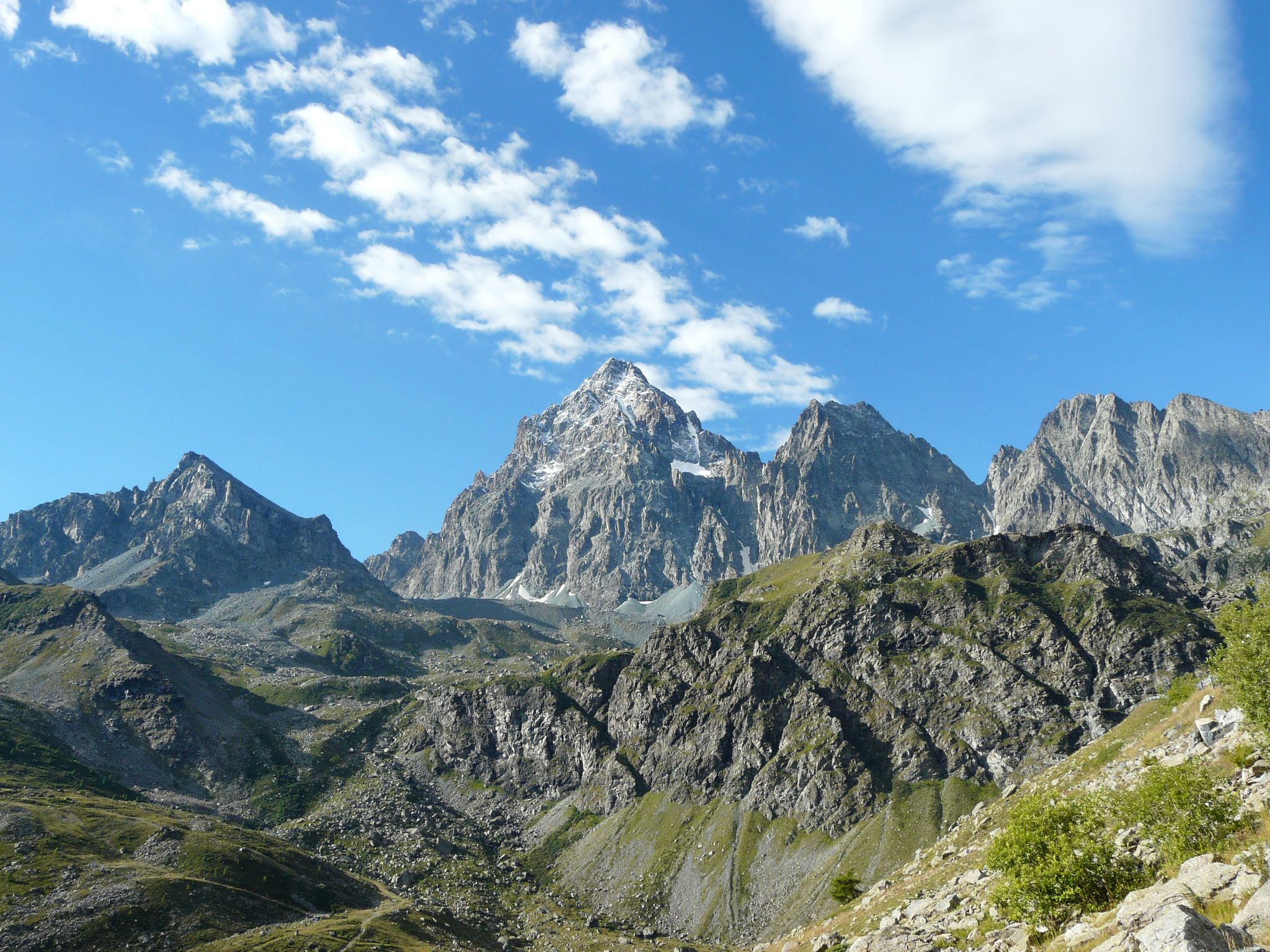
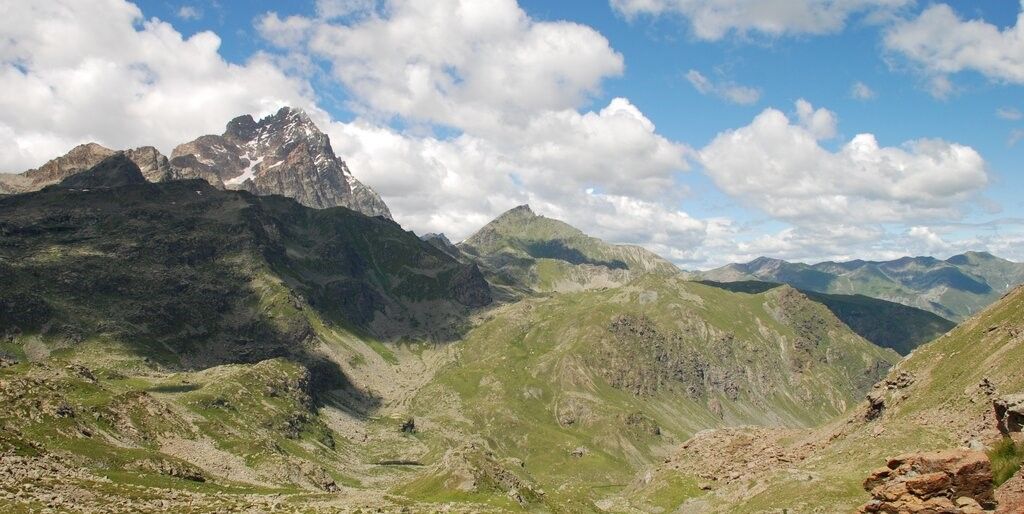
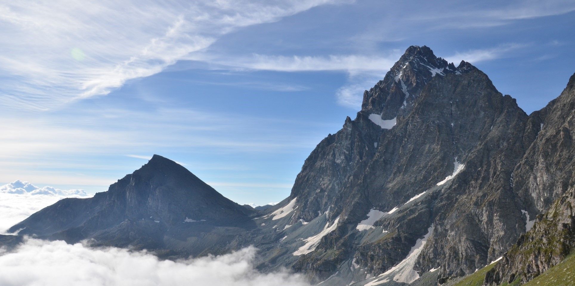
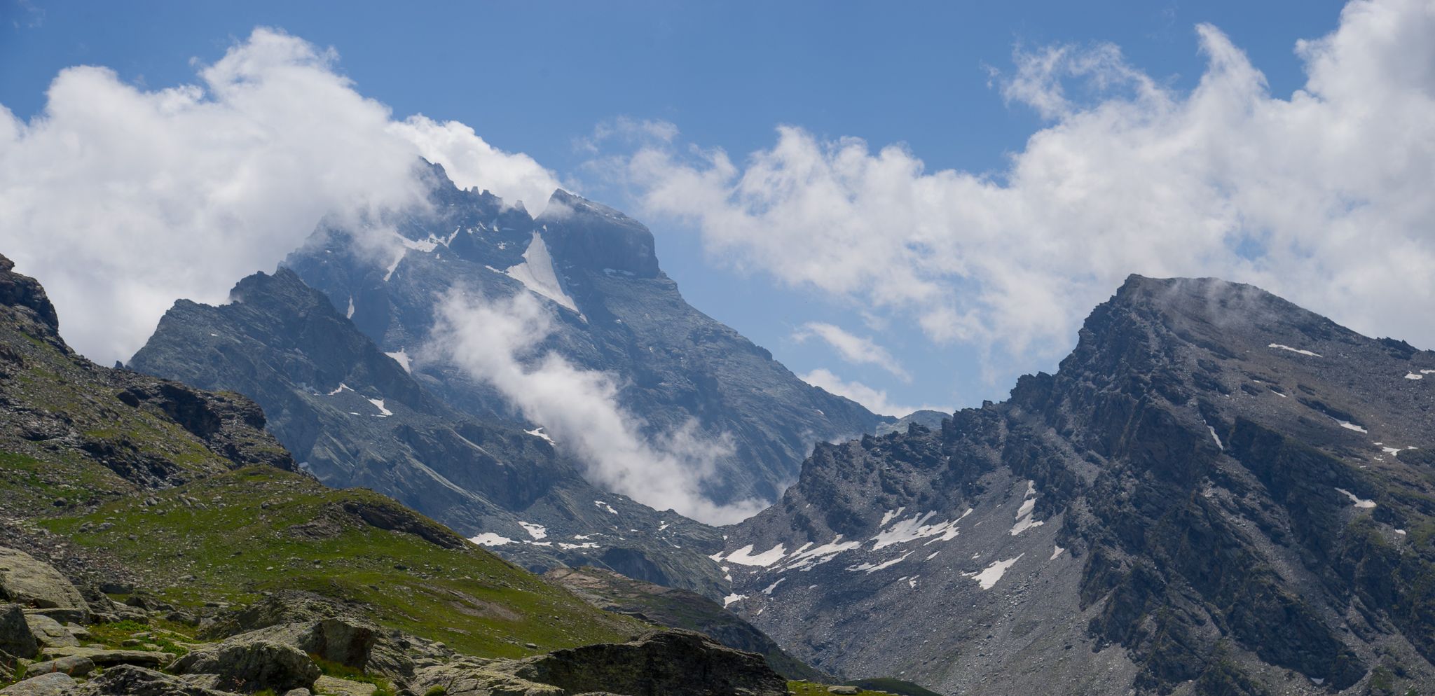
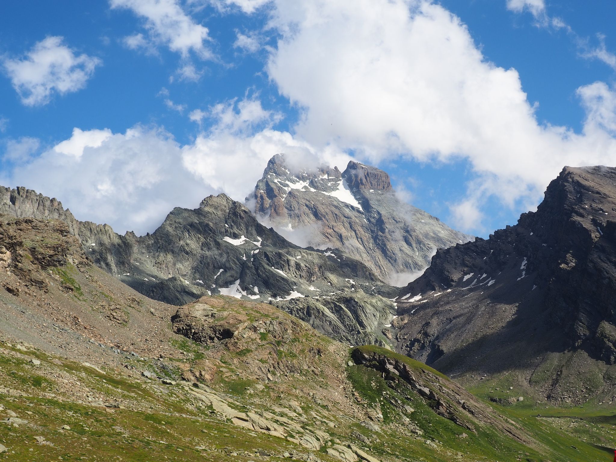
No traffic touring cycling routes around Parco Naturale Regionale del Monviso traverse a diverse landscape, ranging from the Cuneo plain to the high peaks of the Cottian Alps. The region is characterized by the iconic Monte Viso, the source of the Po River at Pian del Re, and extensive forests like the Alevè woods. Cyclists will encounter varied terrain, including alpine meadows, river valleys, and secondary roads offering panoramic views of the surrounding mountains and lakes.
Best no traffic touring…
Last updated: July 12, 2026
5.0
(3)
13
riders
23.8km
02:18
960m
960m
Hard bike ride. Very good fitness required. Mostly paved surfaces. Suitable for all skill levels.
2.0
(2)
31
riders
16.3km
01:28
650m
650m
Hard bike ride. Very good fitness required. Mostly paved surfaces. Suitable for all skill levels.

Sign up for free
6
riders
28.9km
03:36
1,390m
1,390m
Hard bike ride. Very good fitness required. Mostly paved surfaces. Suitable for all skill levels.
11
riders
12.0km
01:35
690m
690m
Hard bike ride. Very good fitness required. Mostly paved surfaces. Suitable for all skill levels.
3.0
(1)
26
riders
75.2km
07:01
3,160m
3,170m
Hard bike ride. Very good fitness required. Mostly paved surfaces. Suitable for all skill levels.
Get access to more routes and recommendations from other explorers.
Sign up for free
Already have an account?
Our route recommendations are based on thousands of hikes, rides, and runs completed by other people on komoot.
Start today with a free account
Your next adventure awaits.
Login or Signup
Popular around Parco Naturale Regionale del Monviso
Tour di Viso – Four days around the Stone King from Castello
Tour di Viso – Four days around the Stone King from Meire Dacant
Viso Tour from Castello (variant) – Three days around the Stone King
Tour di Viso from Pian del Re – Three days around the Stone King

GTA South Piedmont — Hiking in Italy's Occitan valleys
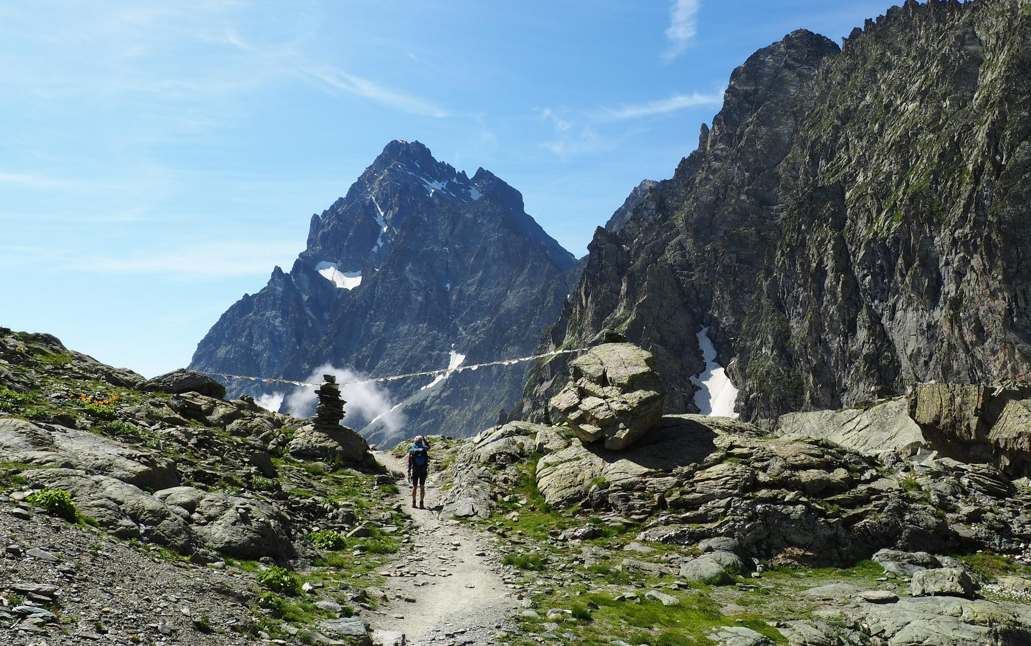
On the trails of the Stone King – trekking among the huts of Monviso
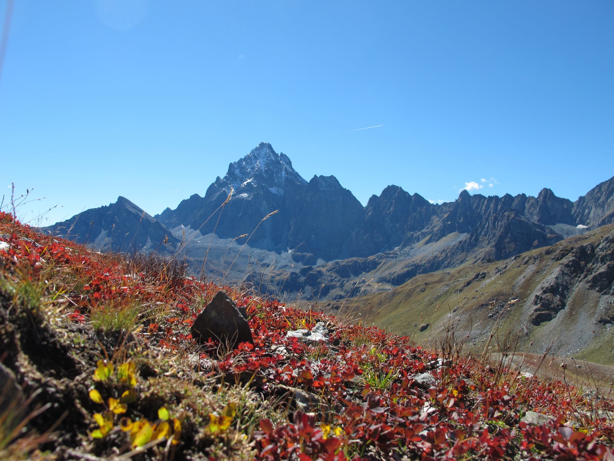
Three days around il Re di Pietra ─ Giro di Viso from Castello
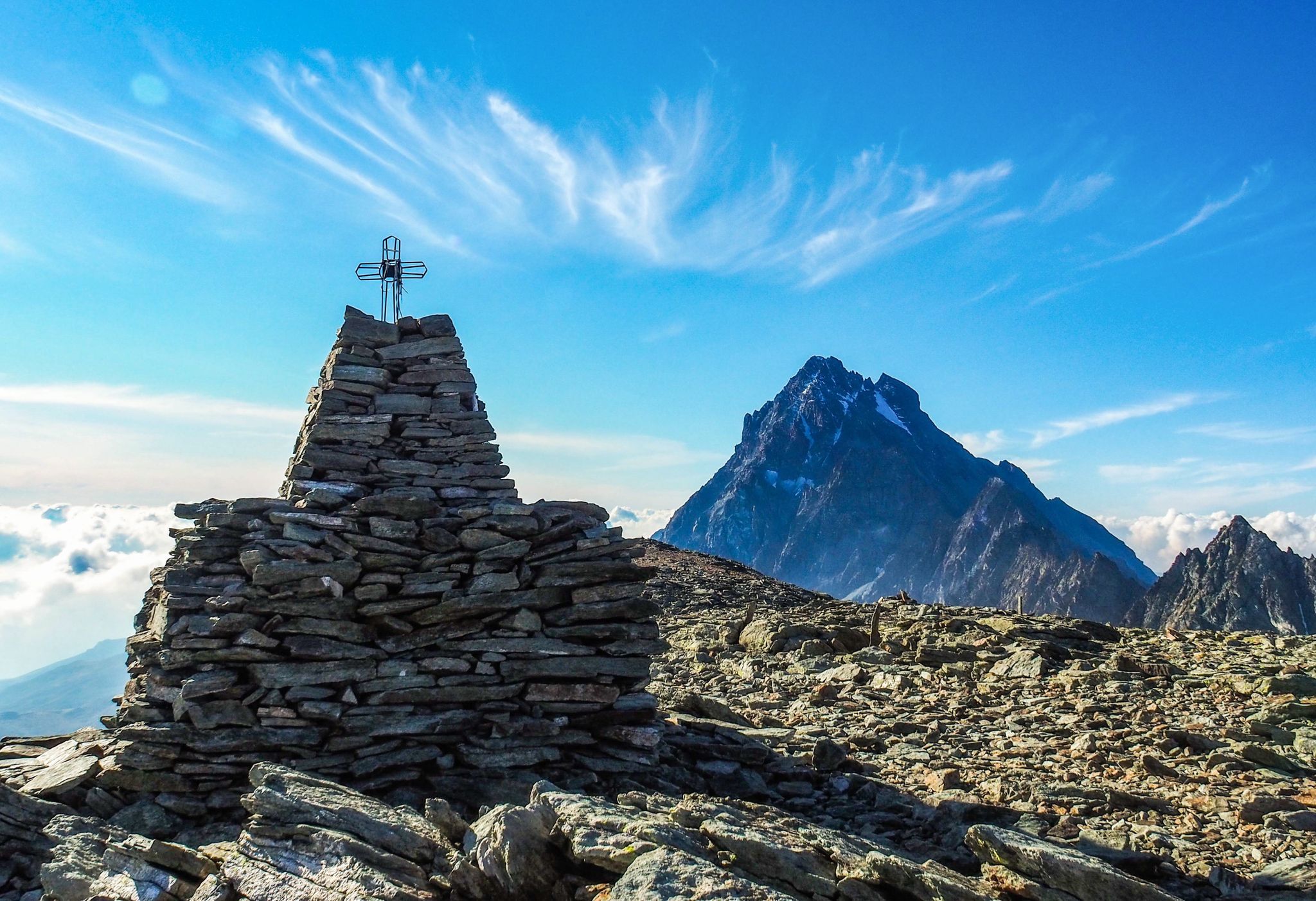
Where birds of prey swoop – 8 peaks over 3,000 metres in Monviso
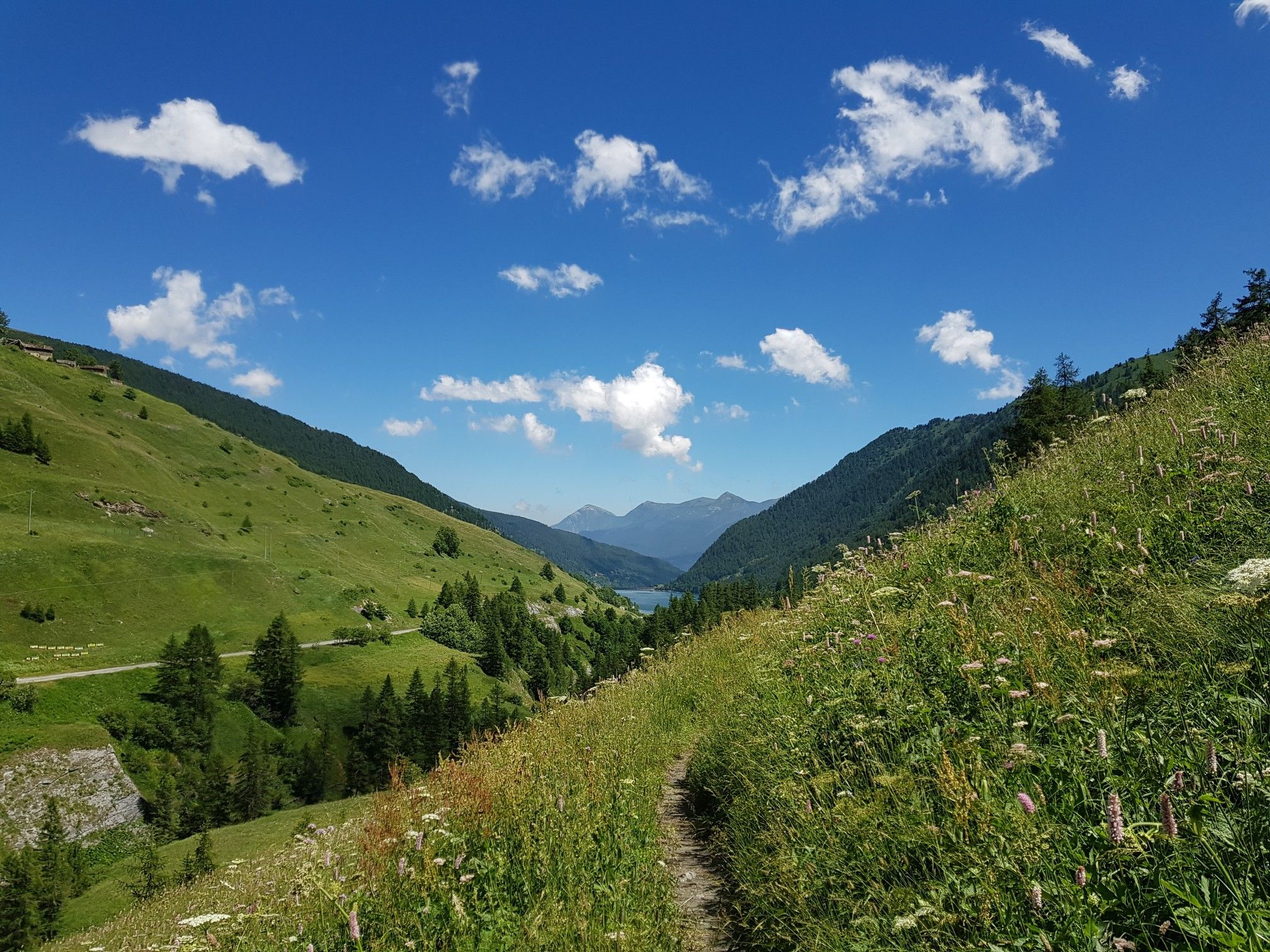
Varaita Valley Trekking – a journey into the lands of Italy’s Monviso
The Tour of Mount Viso – hike around Italy’s Stone King
Other adventures around Parco Naturale Regionale del Monviso


Tips from the Community

Central village of the Varaita valley, it has a beautiful, well-preserved historic center - unfortunately surrounded by the building expansions of the 1960s, which may have been useful, but are unsightly. Anyway, regardless. The village has all essential services, is central to the valley, offers several nearby excursions - an ideal place for a holiday.
0
0

Beautiful panoramic point, both in the snowy winter and in the green grassy slopes in the summer
0
0

It can be reached via a dirt road that passes by the Savigliano refuge in an hour and three quarters, or comfortably with the chairlift (when active)
0
0
The refuge is easily accessible from Pontechianale via a paved road. You can leave your car in the parking lot and set off on a hike to Punta Tre Chiosis.
0
0

Val Maira, wild and magnificent!
0
0

The hamlet of Borgo, reachable with a short detour from the itinerary towards Pian del Re, is the initial nucleus of the settlement of Crissolo and is a well-restored hamlet.
0
0
The Forest hamlet oven is an ancient community oven for baking bread.
0
0

The first structure of the Pian del Re refuge hotel was built by the Municipality of Crissolo in 1874 to accommodate mountaineers intent on climbing the Normal route of Monviso. In 1909 it became privately owned and management passed to the Perotti family, a historic dynasty of mountain guides of Monviso. Numerous paths start from here, both for day trips and for multi-day treks, such as the Giro del Monviso, or mountaineering itineraries, including the Normal route of Monviso. The refuge is open every day from the beginning of June to the end of September and offers 30 beds, in addition to a bar and restaurant service. For more information, visit the website: https://www.rifugiopiandelre.it.
2
0
Frequently Asked Questions
How many no traffic touring cycling routes are available in Parco Naturale Regionale del Monviso?
There are over 20 traffic-free touring cycling routes in the Parco Naturale Regionale del Monviso, offering a variety of experiences for different skill levels. Most of these routes are rated as moderate to difficult, providing a good challenge for experienced cyclists.
What is the best time of year to enjoy traffic-free touring cycling in the Monviso region?
The best time to cycle in the Monviso region is typically from late spring to early autumn, roughly May to October. During these months, the weather is generally mild, and the higher mountain passes are clear of snow, offering optimal conditions to explore the diverse landscapes, from the Po Valley to alpine meadows.
What are the typical terrain and elevation gains on these no-traffic routes?
The terrain on these routes varies significantly, ranging from asphalt roads to dirt tracks, often suitable for cross-country bikes. You can expect a mix of gentle descents along river valleys and more challenging climbs into the alpine areas. For example, the route Ascent to Colle di Sampeyre features over 1350 meters of elevation gain, while the Pian del Re Hut – Pian della Regina Plateau loop from Pian della Regina has a more moderate 286 meters of ascent.
Are there any circular no-traffic touring cycling routes in the area?
Yes, several circular routes allow you to start and finish in the same location. For instance, the Pian del Re Hut – Pian della Regina Plateau loop from Pian della Regina offers a scenic loop near the source of the Po River. Another option is the Sampeyre Pass – Strada Cannoni loop from Colle di Sampeyre, which provides stunning views and a rewarding circular journey.
What natural landmarks can I expect to see along these traffic-free routes?
The Parco Naturale Regionale del Monviso is rich in natural beauty. You can expect to see the iconic pyramid shape of Monte Viso, the highest peak in the Cottian Alps. Many routes pass by alpine lakes, such as Lake Fiorenza, or through unique forests like the Alevè woods, known for its stone pines. The source of the Po River at Pian del Re is also a significant natural feature accessible in the park.
Are there any mountain huts or refuges accessible from these routes?
Yes, several mountain huts and refuges are located within or near the park, providing excellent rest points or overnight stays. The Pian del Re Hut is a notable example, situated near the source of the Po River. Other options include Bagnour Hut and Vallanta Hut, offering stunning views and a chance to experience the high alpine environment.
Are these no-traffic touring cycling routes suitable for families?
While many routes in the Monviso area are rated moderate to difficult, some sections or shorter loops might be suitable for families with older children or those using e-bikes. The region's diverse terrain means that while some paths are challenging, others offer gentler gradients, especially in the lower Po Valley. Always check the route's difficulty and elevation profile before setting out with family.
Can I bring my dog on these touring cycling routes?
Generally, dogs are permitted on trails within the Parco Naturale Regionale del Monviso, but they must be kept on a leash to protect wildlife, especially in sensitive areas like the Alevè woods or near alpine lakes. It's always advisable to check specific park regulations or route descriptions for any restrictions before planning your trip with a dog.
What public transport options are available to reach the starting points of these routes?
Public transport options to the Parco Naturale Regionale del Monviso can be limited, especially to higher-altitude starting points. Buses serve some of the larger towns surrounding the park, such as Saluzzo or Paesana, from which you might need to cycle or arrange a local transfer to reach specific trailheads. Planning your journey in advance and checking local bus schedules is recommended.
Where can I find parking for my car when starting a no-traffic touring cycling route?
Parking is generally available in the towns and villages surrounding the Parco Naturale Regionale del Monviso, such as Crissolo, Pontechianale, or near popular trailheads like Pian del Re. Look for designated parking areas, especially in tourist-heavy spots. Some mountain huts or refuges might also offer limited parking for their guests.
What do other touring cyclists enjoy the most about touring cycling in Parco Naturale Regionale del Monviso?
The area is highly rated by the komoot community, with an average score of 4.7 stars. Reviewers often praise the breathtaking panoramic views of Monte Viso, the tranquility of the traffic-free paths, and the diverse natural landscapes, from the source of the Po River to the ancient Alevè woods. The challenging climbs and rewarding descents are also frequently highlighted.
Are there any less crowded or hidden gem routes for a more secluded experience?
For a more secluded experience, consider exploring routes that venture slightly off the most popular paths. While specific 'hidden gems' are subjective, routes like Rifugio Savigliano – Refuge Hélios loop from Pontechianale offer challenging terrain and stunning views that might be less frequented than routes closer to major access points. Exploring the numerous secondary roads in the valleys can also lead to quieter, scenic rides.
Most popular routes around Parco Naturale Regionale del Monviso
Most popular attractions around Parco Naturale Regionale del Monviso

Get inspired with the komoot mobile app


Explore more
Browse the best Cycling routes in other regions.
