The best running trails around Parco Naturale Regionale del Monviso
3.9
(11)
1,380
runners
76
runs
Jogging around Parco Naturale Regionale del Monviso offers routes through a diverse alpine landscape. The region is characterized by high mountain peaks, glacial valleys, and pristine lakes, with elevations ranging significantly. Running routes often traverse forested areas, open meadows, and rocky terrain, providing varied surfaces for runners. The area is known for its dramatic scenery, including views of Monviso, the highest peak of the Cottian Alps.
Best jogging routes around Parco Naturale Regionale del Monviso
- The most popular jogging route…
Last updated: July 8, 2026
15
runners
11.1km
01:52
780m
780m
Hard run. Very good fitness required. Sure-footedness, sturdy shoes and alpine experience required.
4
runners
9.00km
01:23
390m
390m
Hard run. Very good fitness required. Sure-footedness, sturdy shoes and alpine experience required.

Sign up for free
161
runners
38.7km
07:38
2,530m
2,530m
Hard run. Very good fitness required. Sure-footedness, sturdy shoes and alpine experience required.
39
runners
14.4km
01:50
340m
340m
Hard run. Very good fitness required. Sure-footedness, sturdy shoes and alpine experience required.
24
runners
20.8km
04:05
1,420m
1,420m
Hard run. Very good fitness required. Sure-footedness, sturdy shoes and alpine experience required.
Get access to more routes and recommendations from other explorers.
Sign up for free
Already have an account?
Our route recommendations are based on thousands of hikes, rides, and runs completed by other people on komoot.
Start today with a free account
Your next adventure awaits.
Login or Signup
Popular around Parco Naturale Regionale del Monviso
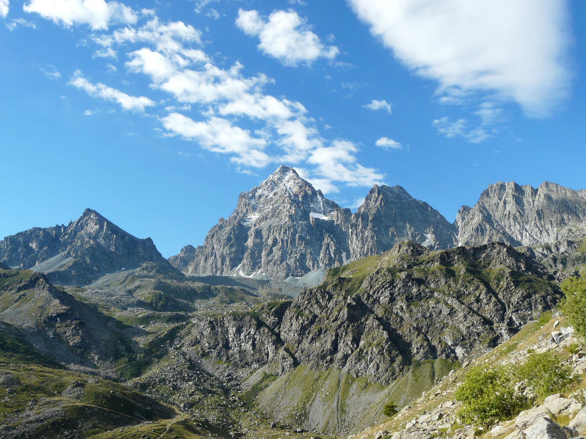
Tour di Viso – Four days around the Stone King from Castello
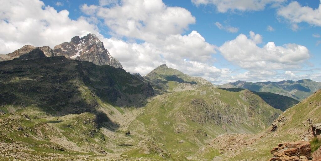
Tour di Viso – Four days around the Stone King from Meire Dacant
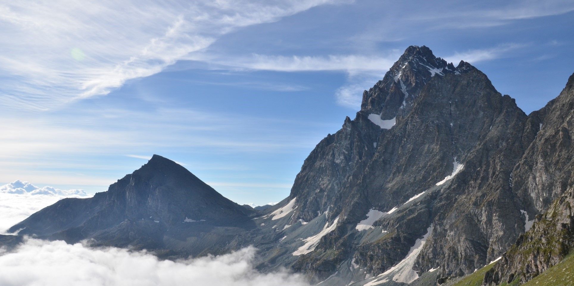
Viso Tour from Castello (variant) – Three days around the Stone King
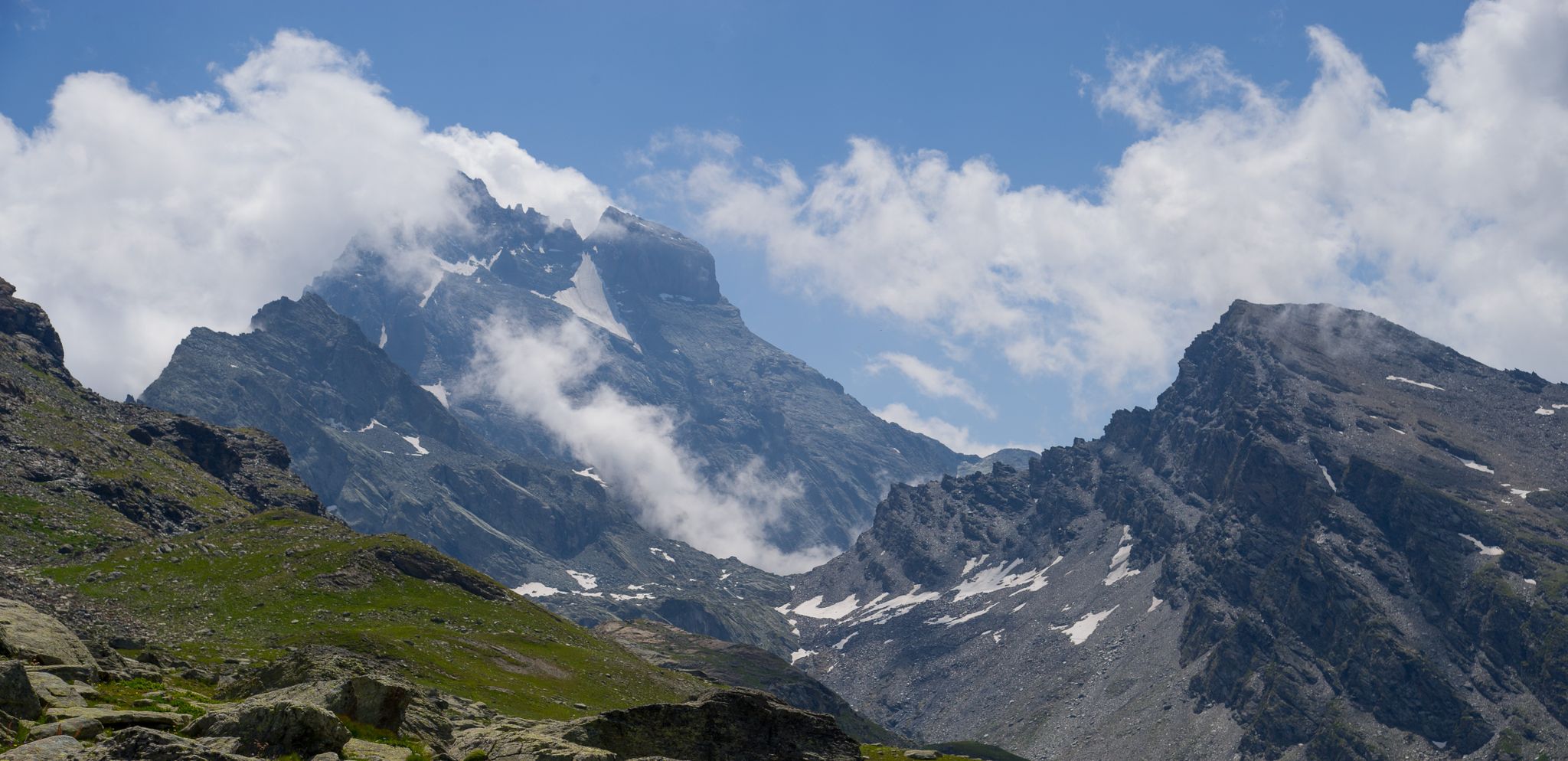
Tour di Viso from Pian del Re – Three days around the Stone King

GTA South Piedmont — Hiking in Italy's Occitan valleys
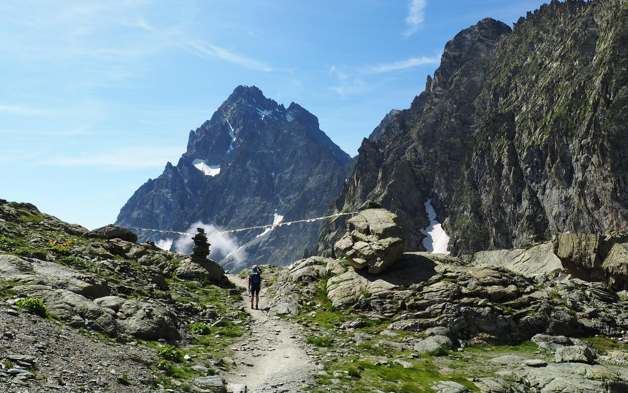
On the trails of the Stone King – trekking among the huts of Monviso
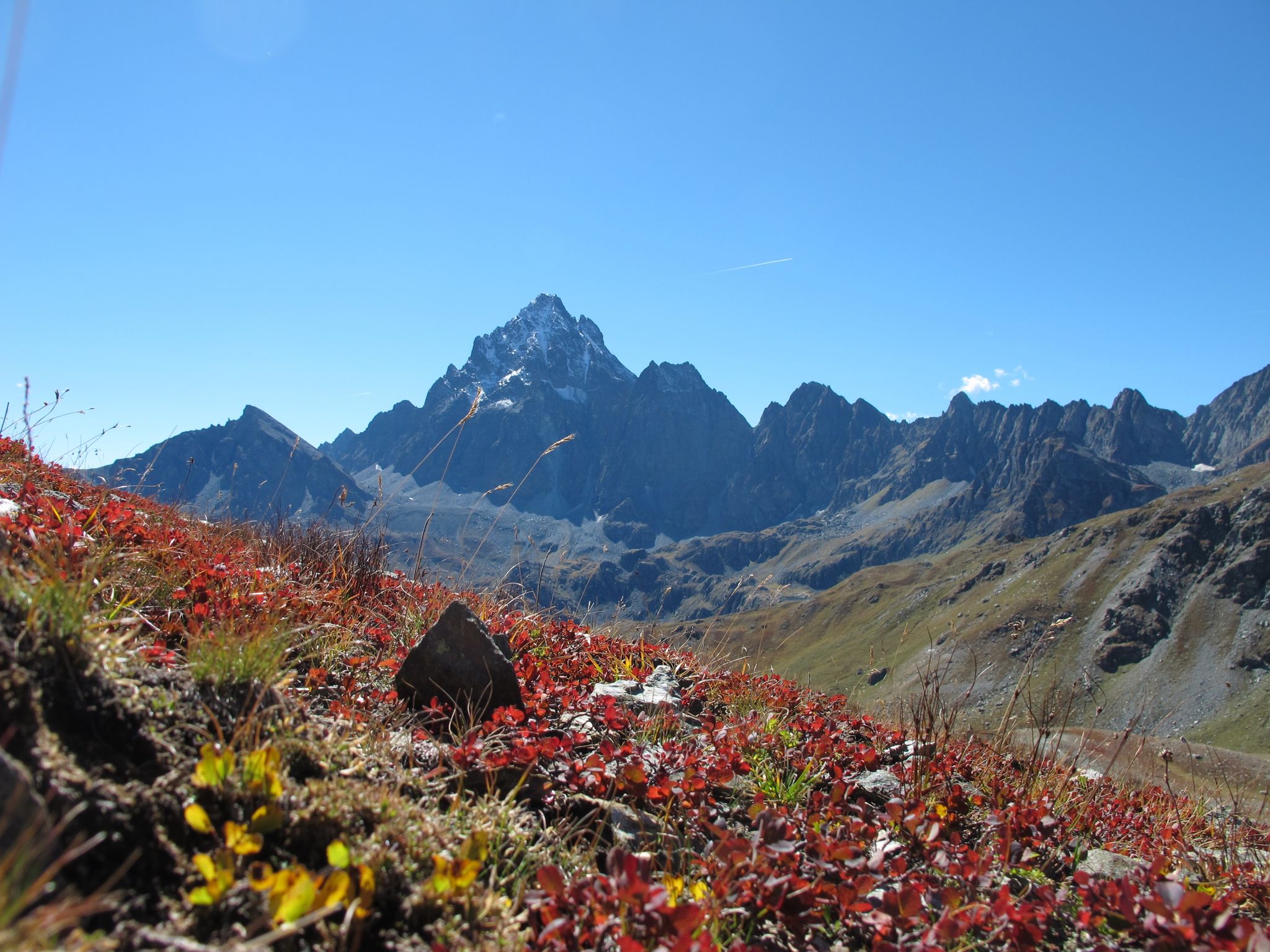
Three days around il Re di Pietra ─ Giro di Viso from Castello
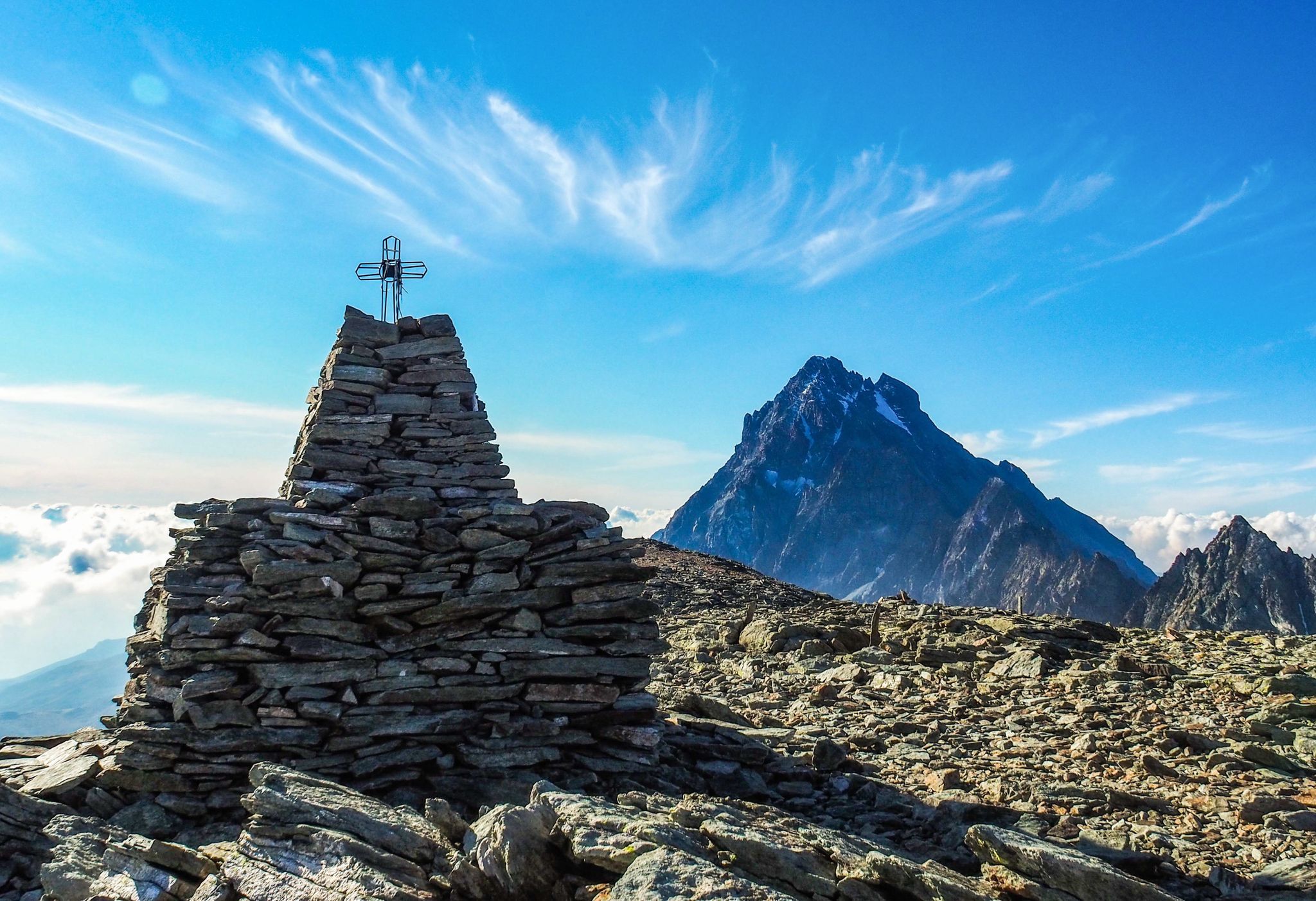
Where birds of prey swoop – 8 peaks over 3,000 metres in Monviso
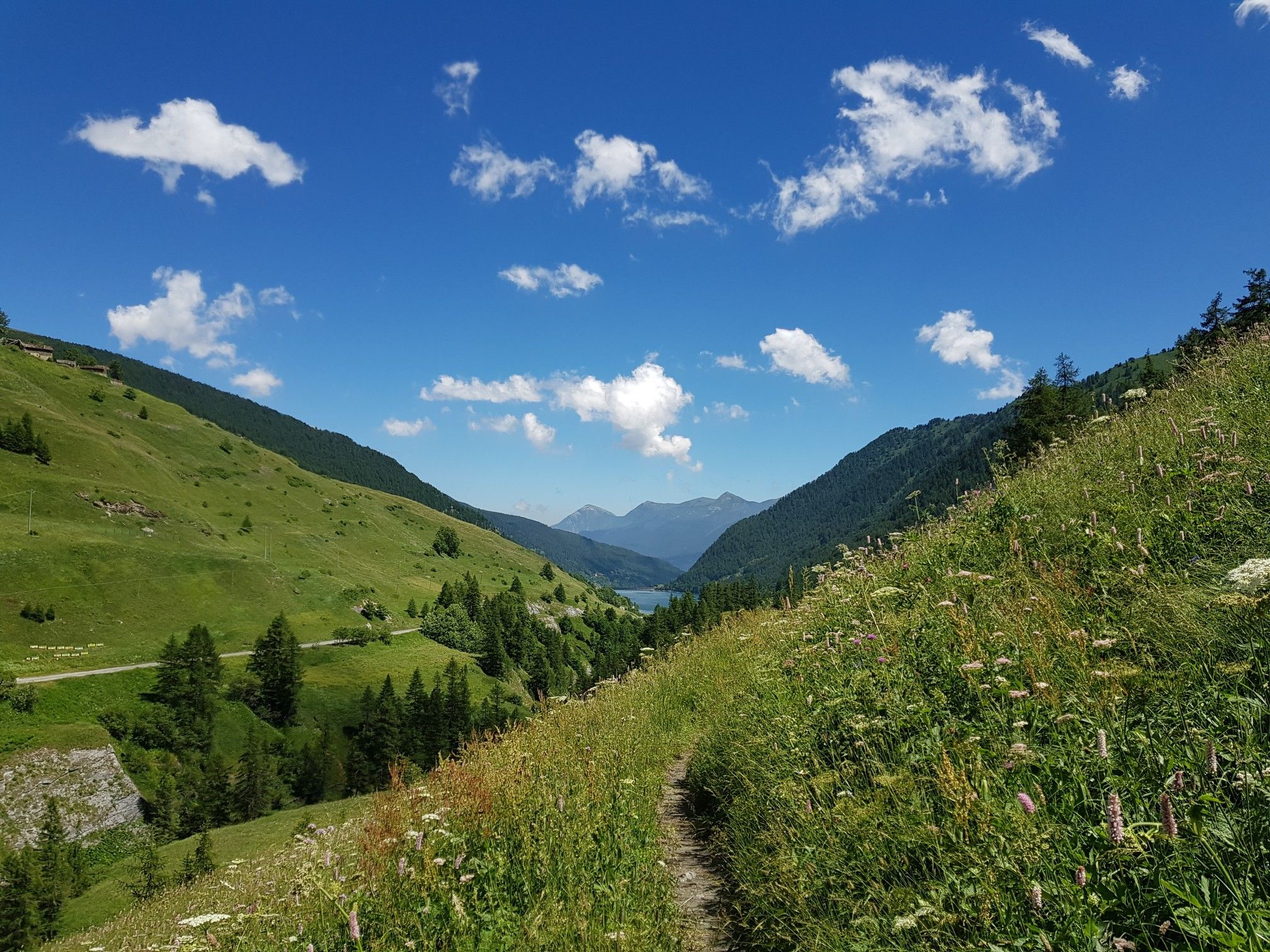
Varaita Valley Trekking – a journey into the lands of Italy’s Monviso
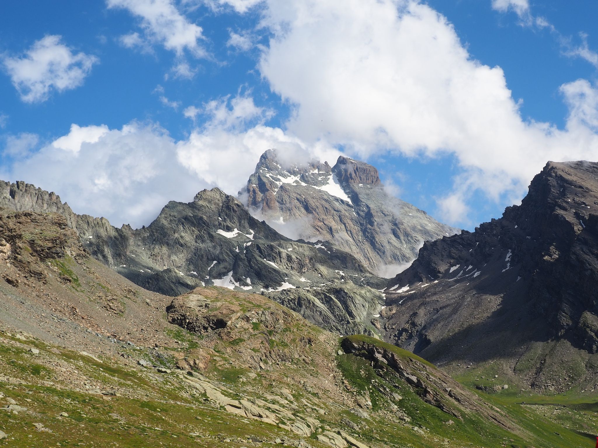
The Tour of Mount Viso – hike around Italy’s Stone King
Other adventures around Parco Naturale Regionale del Monviso


Tips from the Community

It is located in a very scenic position in front of Monviso, just below Pian del Re
0
0

Registered among the most beautiful villages in Italy, and for good reason. A pearl set in the majestic scenery of the Cottian Alps, all restored and cleaned up. A dream village.
0
0
Frazione di Pontechianale in correspondence with the dam. The highlight is the view of the Pontechianale lake - but the church and the fountain are also worth attention.
0
0
Registered among the most beautiful villages in Italy, and for good reason. A pearl set in the majestic scenery of the Cottian Alps, all restored and cleaned up. A dream village.
0
0

From the lake onwards, the fun is over for mountain bikers; from there it's a steep uphill climb over huge boulders, requiring carrying, climbing, and lifting the bike. It's only for hardcore bikers, but it's a great area and a beautiful refuge.
1
0

Beautiful and famous lake easily reachable from Pian del Re and Regina.
0
0

Delicious lunch: Polenta with spezzatino and penne all'amatriciana Lounge chairs for a digestive nap Comfortable toilet seat
1
0

This refuge, dedicated to Vitale Giacoletti, is strategically located for ascents of the adjacent peaks and is one of several so-called Viso refuges, located along the various routes of the Viso. While Punta Losas, east of Giacoletti, offers no technical difficulty, those to the west—Monviso, Pointe de Rome, Pointe d'Udine, and Pointe de Venise—require excellent technical ability. Another beautiful via ferrata is the Col du Coloir du Porc, a pass that separates Pointe d'Udine from Pointe de Venise. From here, you can descend into France to the Viso refuge, then climb back up to Punta delle Traversette and, thanks to the short Buco del Viso tunnel (about 80 meters), return to Pian del Re.
11
0
Frequently Asked Questions
How many running routes are available in Parco Naturale Regionale del Monviso?
There are nearly 100 running routes documented in Parco Naturale Regionale del Monviso on komoot, offering a wide range of options for runners.
Are there any easy jogging paths in the Monviso region?
While most routes in Parco Naturale Regionale del Monviso are challenging, there is at least one easy running path available. The majority of the 94 routes are classified as difficult, catering to experienced trail runners.
What kind of terrain can I expect on the running trails around Monviso?
The terrain varies significantly, reflecting the diverse alpine landscape. You can expect to run through forested areas, open meadows, and rocky sections, often with significant elevation changes as you traverse high mountain peaks and glacial valleys.
Are there any circular running routes in Parco Naturale Regionale del Monviso?
Yes, many running routes in the region are circular. For example, the Running to Monte Grané — Ring tour and the Running along the artificial lake of Castello — Ring tour are popular circular options, offering varied scenery.
What are some notable landmarks or viewpoints along the jogging routes?
Many routes offer stunning views of Monviso, the highest peak of the Cottian Alps. You might also encounter natural highlights like Lake Fiorenza or pass by mountain huts such as Pian del Re Hut, which often serve as excellent viewpoints.
What do other runners say about the jogging experience in Parco Naturale Regionale del Monviso?
The running routes in Parco Naturale Regionale del Monviso are highly rated by the komoot community, with an average score of 4.2 stars from over 10 reviews. Runners often praise the dramatic alpine scenery, challenging ascents, and the variety of terrain.
Are there any long-distance running options for experienced trail runners?
Absolutely. For those seeking a significant challenge, the Pian del Re loop from Pian della Regina is a demanding 38.7 km (24.0 miles) trail that leads through high alpine valleys, typically taking over 7 hours to complete.
Can I find running routes that feature lakes or water bodies?
Yes, the region is known for its pristine lakes. The Running along the artificial lake of Castello — Ring tour is a prime example, offering scenic waterside views throughout its 9.0 km (5.6 miles) length.
What is the best time of year for jogging in Parco Naturale Regionale del Monviso?
The best time for jogging in the Monviso region is typically from late spring to early autumn (June to September) when the snow has melted from higher elevations and the weather is more stable. Always check local conditions before heading out, especially for high-altitude routes.
Are there any running routes that offer views of Monviso peak itself?
Many routes in the park provide spectacular views of Monviso. The region is defined by its dramatic scenery, with Monviso often serving as a majestic backdrop or a prominent feature along the trails, such as on the Running to Monte Grané — Ring tour.
Are there any running routes suitable for families with children?
While most routes are classified as difficult, the region does offer some less strenuous options. For family-friendly running, look for routes described as 'easy' or 'moderate' and consider shorter distances with less elevation gain. Always check the route details for suitability before starting.
What should I wear for jogging in the Monviso mountains?
Given the alpine environment, it's advisable to wear layers of moisture-wicking clothing, sturdy trail running shoes with good grip, and carry a lightweight waterproof jacket. Even in summer, weather can change rapidly at higher elevations. Don't forget sun protection and sufficient water.
Most popular routes around Parco Naturale Regionale del Monviso
Most popular attractions around Parco Naturale Regionale del Monviso

Get inspired with the komoot mobile app


Explore more
Browse the best Running Trails & Routes in other regions.
