Easy hikes and walks around Parco Naturale Regionale del Monviso
4.6
(5128)
33,408
hikers
644
hikes
Easy hiking trails around Parco Naturale Regionale del Monviso traverse a landscape characterized by alpine lakes, high-altitude plateaus, and the source of the Po River. The region features diverse terrain, from accessible paths around lakes like Fiorenza and Chiaretto to routes through peat bogs. It is part of the Cottian Alps, offering a dramatic natural environment for exploration.
Best easy hiking trails around Parco Naturale Regionale del Monviso
- The most popular easy hiking route is Pian della Regina – Pian…
Last updated: May 27, 2026
5.0
(2)
14
hikers
2.03km
00:47
140m
140m
Easy hike. Great for any fitness level. Easily-accessible paths. Suitable for all skill levels.
3.8
(4)
14
hikers
5.67km
01:37
130m
130m
Easy hike. Great for any fitness level. Easily-accessible paths. Suitable for all skill levels.

Sign up for free
3.0
(2)
14
hikers
3.34km
01:26
290m
290m
Easy hike. Great for any fitness level. Easily-accessible paths. Suitable for all skill levels.
8
hikers
3.09km
00:53
70m
70m
Easy hike. Great for any fitness level. Easily-accessible paths. Suitable for all skill levels.
5
hikers
2.55km
00:43
50m
50m
Easy hike. Great for any fitness level. Easily-accessible paths. Suitable for all skill levels.
Get access to more routes and recommendations from other explorers.
Sign up for free
Already have an account?
Our route recommendations are based on thousands of hikes, rides, and runs completed by other people on komoot.
Start today with a free account
Your next adventure awaits.
Login or Signup
Popular around Parco Naturale Regionale del Monviso
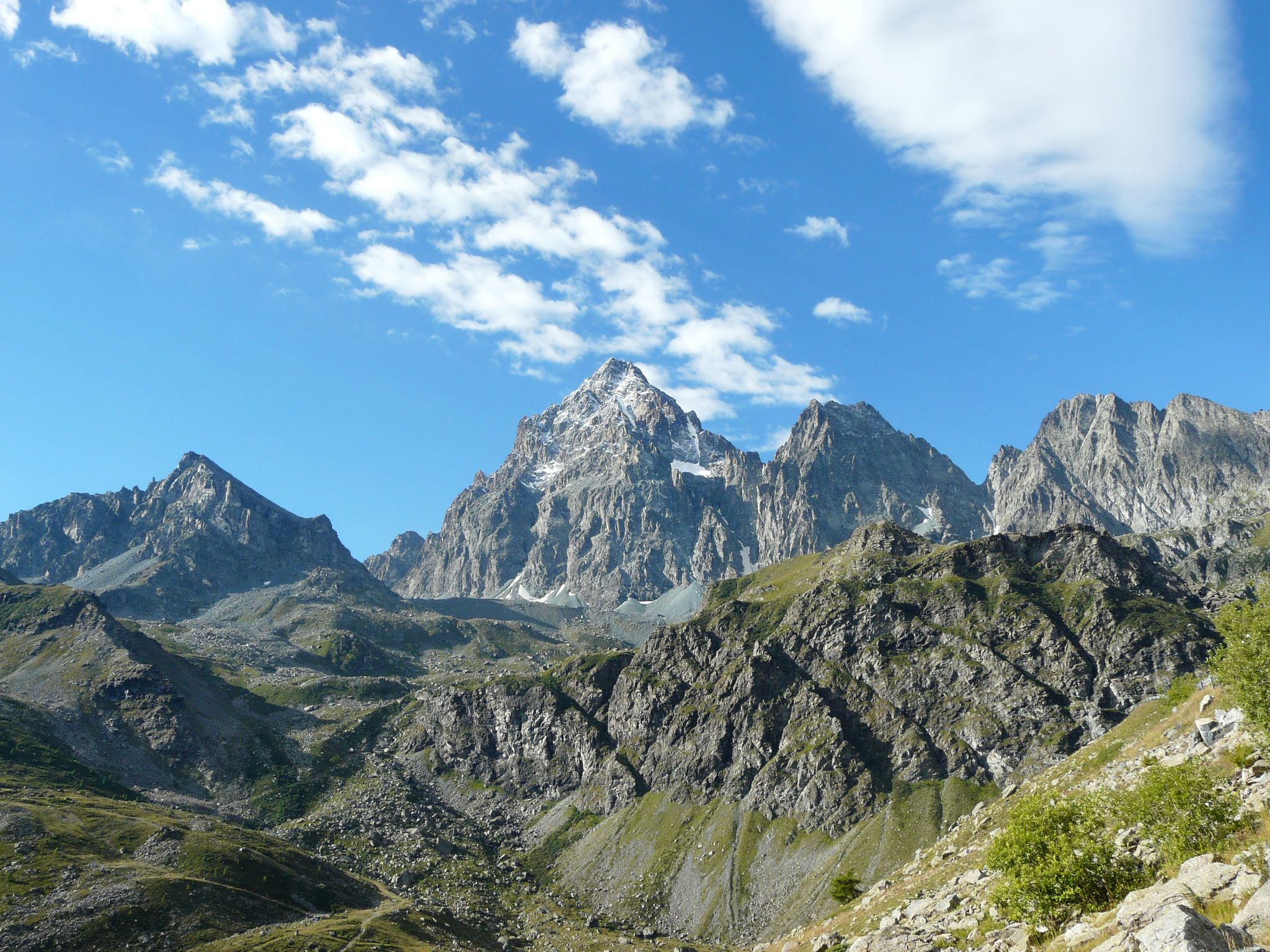
Tour di Viso – Four days around the Stone King from Castello
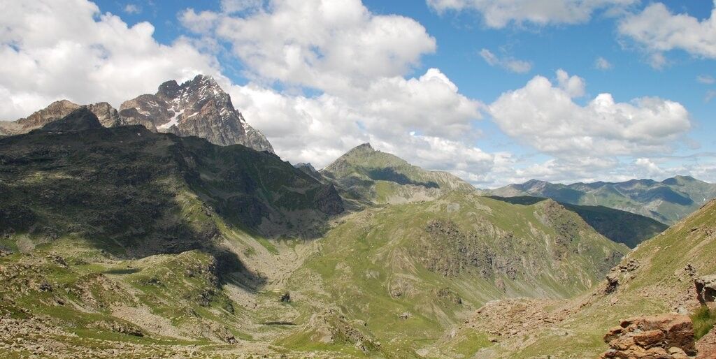
Tour di Viso – Four days around the Stone King from Meire Dacant
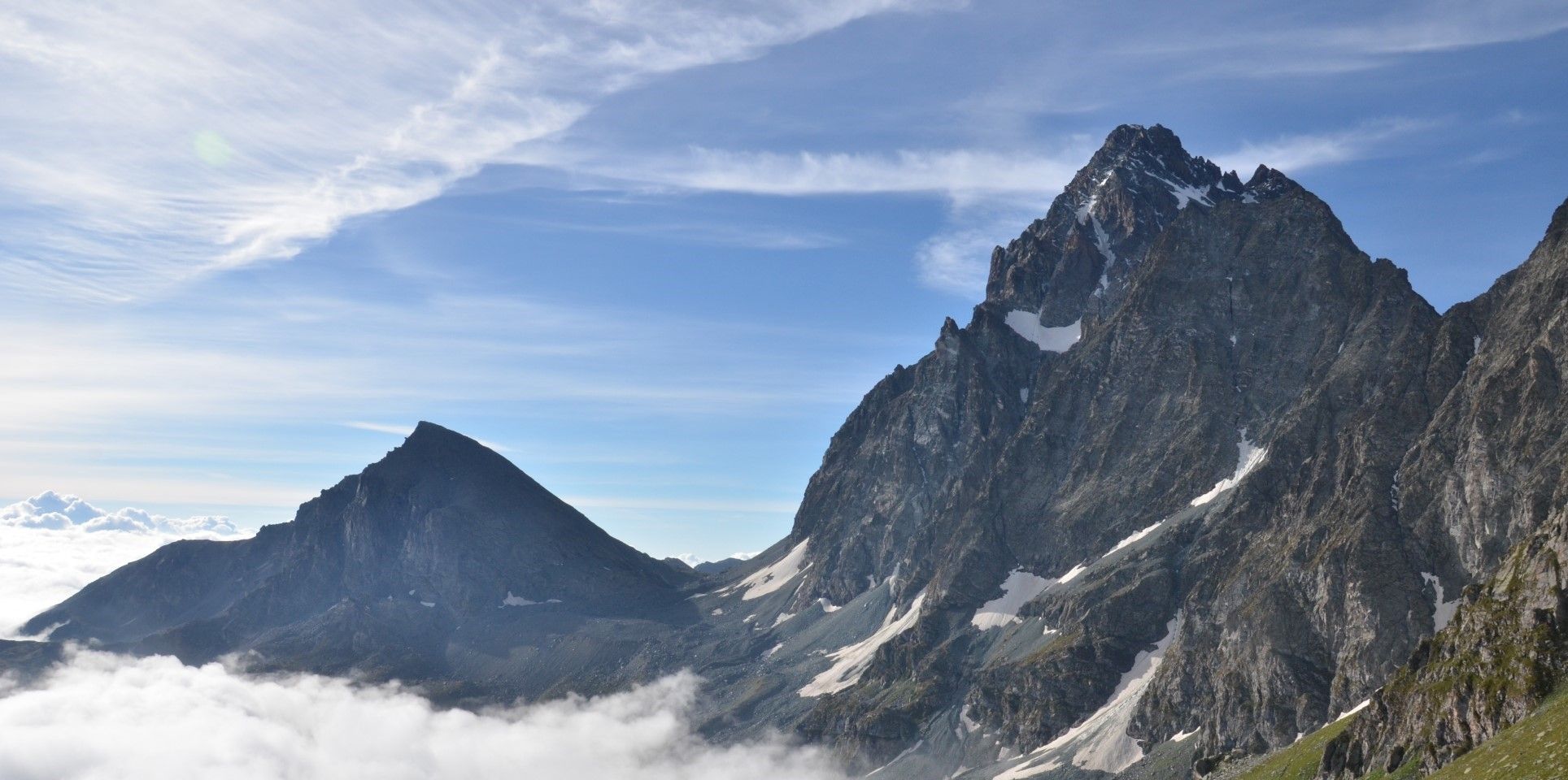
Viso Tour from Castello (variant) – Three days around the Stone King
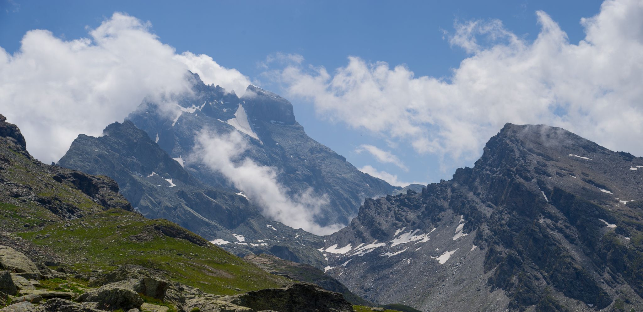
Tour di Viso from Pian del Re – Three days around the Stone King

GTA South Piedmont — Hiking in Italy's Occitan valleys
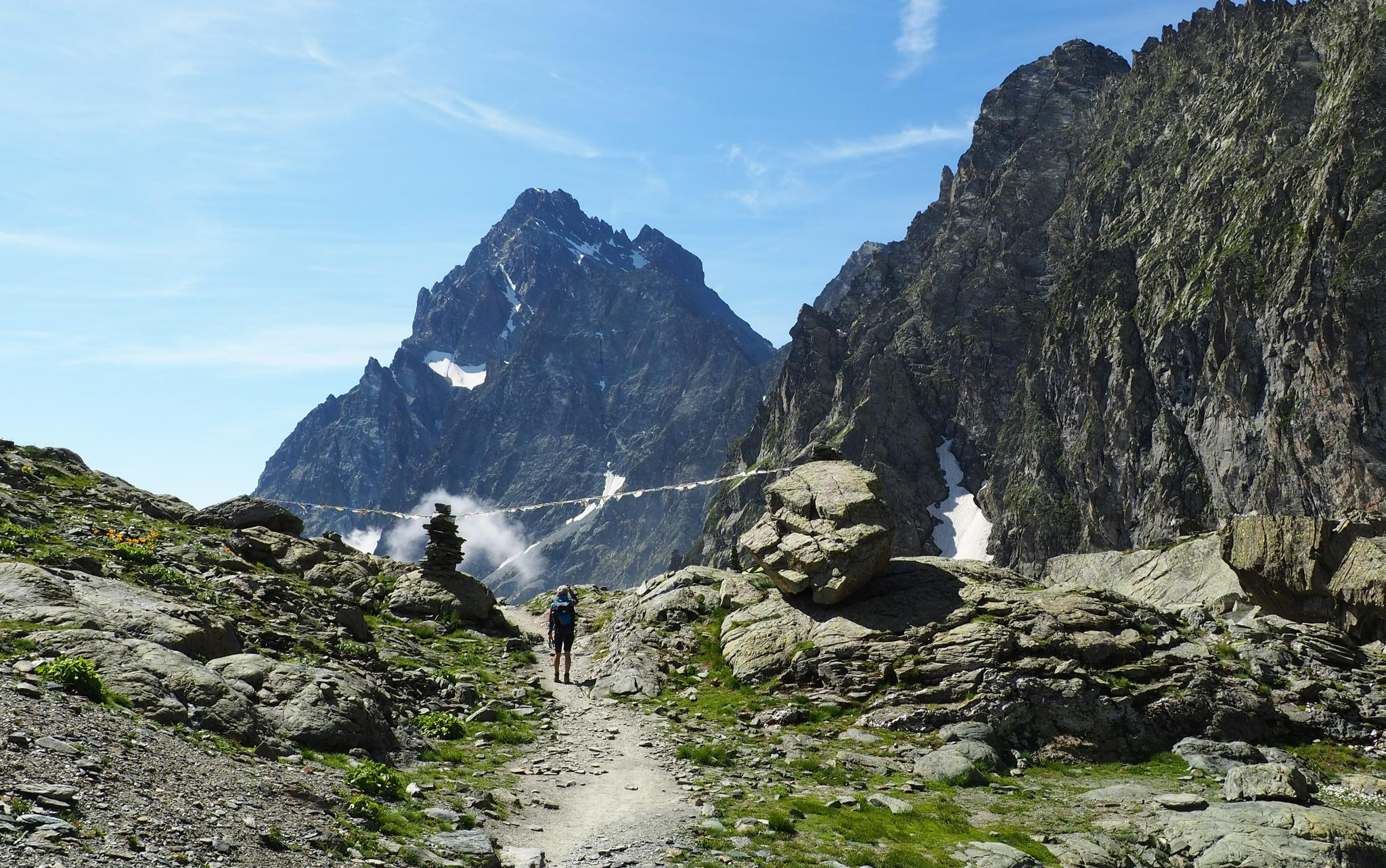
On the trails of the Stone King – trekking among the huts of Monviso
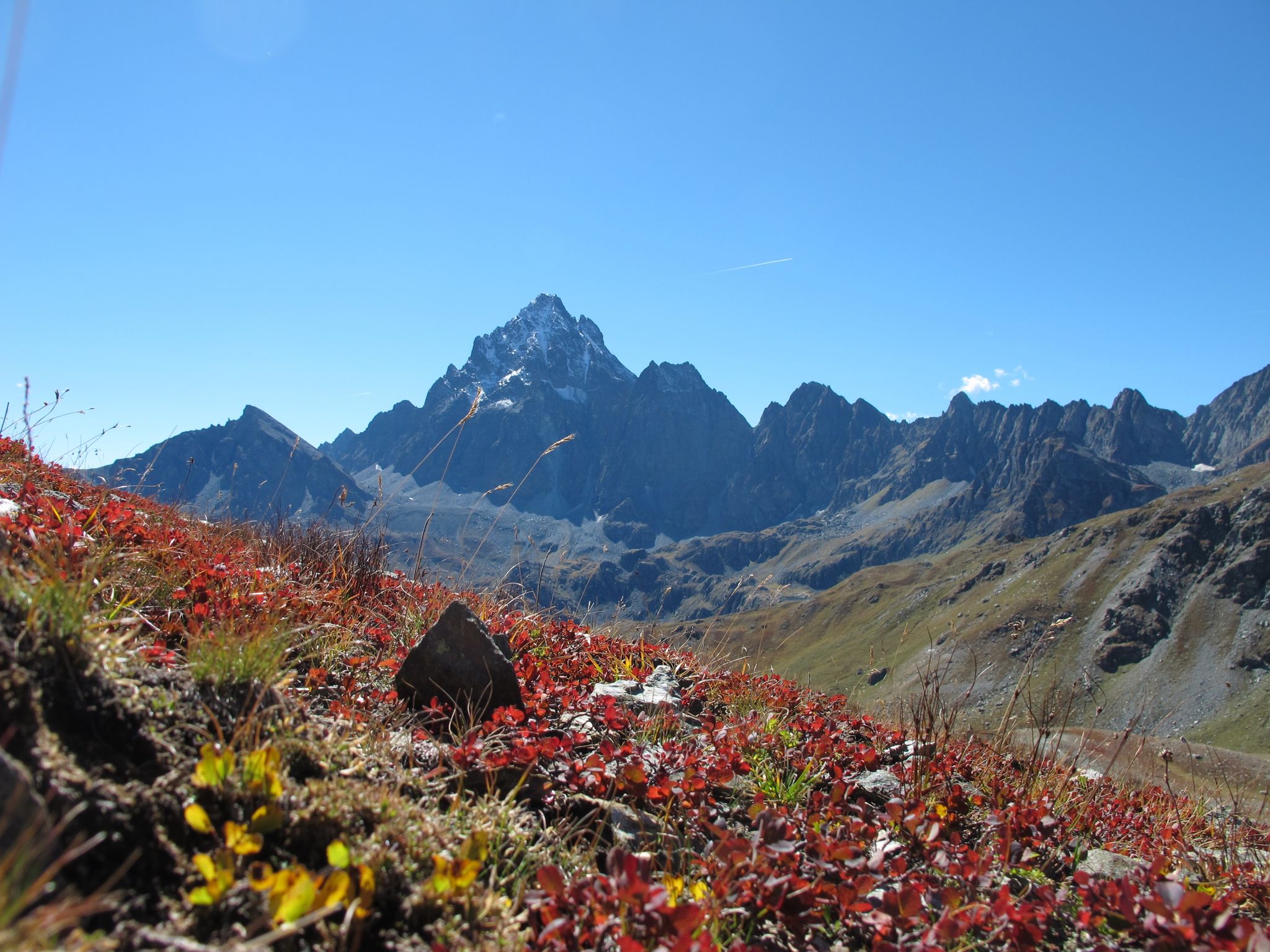
Three days around il Re di Pietra ─ Giro di Viso from Castello
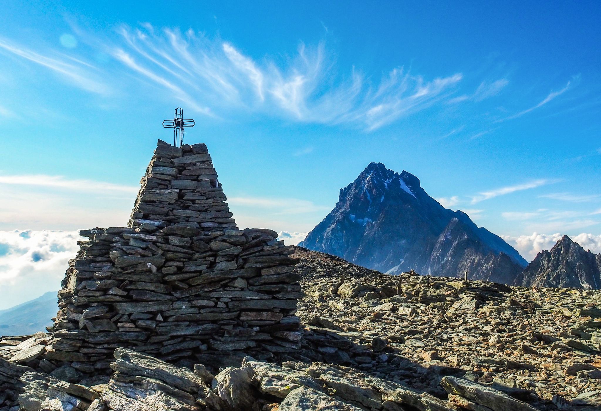
Where birds of prey swoop – 8 peaks over 3,000 metres in Monviso
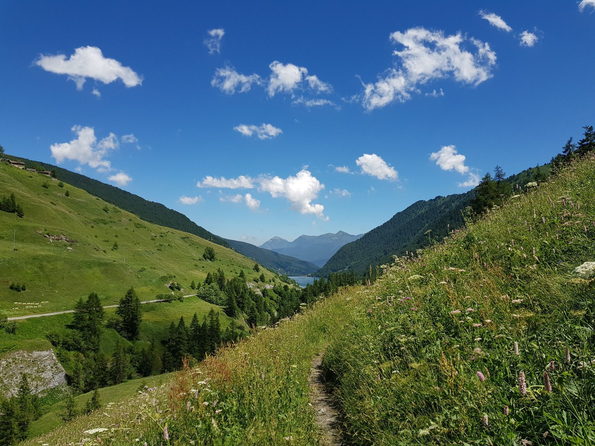
Varaita Valley Trekking – a journey into the lands of Italy’s Monviso
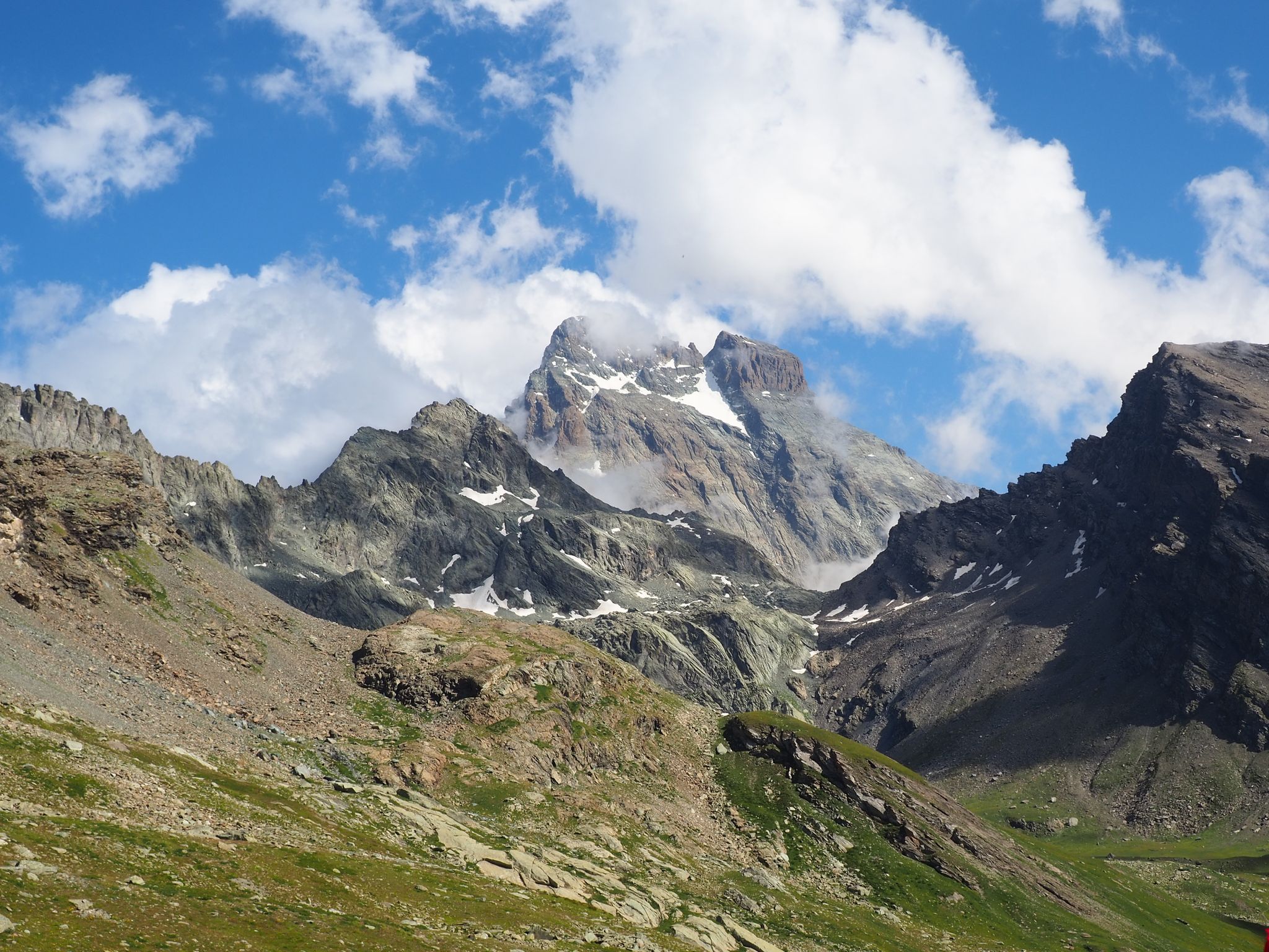
The Tour of Mount Viso – hike around Italy’s Stone King
Other adventures around Parco Naturale Regionale del Monviso


Tips from the Community

The Sanctuary of San Chiaffredo, reachable with a short detour from the main route of the climb to Pian del Re, is a religious place of ancient foundation linked to the cult of the martyr of the Theban Legion San Chiaffredo, also co-patron of the Diocese of Saluzzo.
0
0

Overnight stay at Rifugio Grongios Martre Castello
0
0

Natural waterfall in an oasis of coolness
0
0

Crissolo is located at the head of the Po valley at around 1300m. It is a municipality passing through the famous Pina del Re but its hills and surrounding area are worth a visit, especially the nearby village of Ostana.
1
0

Refuge offering restaurant service (dinner) and overnight stay
0
0
Panoramic point near the remains of an abandoned rural structure
1
0
Rest area near the path (with table and bench) and panoramic view of the Pontechianale lake
1
0
Frequently Asked Questions
How many easy hiking trails are available in Parco Naturale Regionale del Monviso?
Parco Naturale Regionale del Monviso offers over 40 easy hiking trails. These routes are designed to be accessible, allowing you to explore the region's unique landscapes, from alpine lakes to high-altitude plateaus, without strenuous effort.
Are there family-friendly easy hikes in Parco Naturale Regionale del Monviso?
Yes, many easy trails are suitable for families. For instance, the Pian della Regina – Pian della Regina Plateau loop from Pian della Regina is a popular choice, offering gentle terrain and scenic views of the plateau, which is also the source of the Po River.
Can I bring my dog on the easy hiking trails?
Many trails in Parco Naturale Regionale del Monviso are dog-friendly, but it's always advisable to keep your dog on a leash, especially in areas with livestock or protected wildlife. Always check local regulations for specific routes. The Casteldelfino village – Along the Varaita Stream loop from Casteldelfino is a good option for a walk with your canine companion.
Are there easy circular routes in the park?
Yes, the park features several easy circular routes. A notable one is the Grangia Peira Grangetta – Grange Gheit Junction loop from Rifugio Alevè, which takes you through alpine meadows and past traditional granges, offering a pleasant and manageable loop experience.
What natural attractions can I see on easy hikes?
Easy hikes in the region often lead to stunning natural attractions. You can visit the Source of the Po River at Pian del Re, or explore picturesque alpine lakes like Lake Fiorenza. Many trails also offer views of the dramatic Monviso peak.
Are there any easy trails that pass by waterfalls?
Yes, you can find easy trails that lead to waterfalls. For example, the Casteldelfino village – Cascata La Piso loop from Casteldelfino is an easy route that takes you to the beautiful Cascata La Piso, offering a refreshing natural spectacle.
What is the best time of year for easy hiking in Parco Naturale Regionale del Monviso?
The best time for easy hiking is typically from late spring to early autumn (May to October). During these months, the weather is generally mild, trails are clear of snow, and the alpine flora is in full bloom, offering vibrant landscapes. Always check local weather conditions before heading out.
What are the parking options for easy trails?
Parking is generally available at common starting points for many trails, such as Pian del Re or near villages like Casteldelfino and Pontechianale. Specific parking information is often detailed on individual route pages, like for the Vallanta Stream – Rifugio Grongios Martre loop from Pontechianale.
Is public transport available to access easy hiking trails?
Access to some trailheads, especially in more remote areas, might be limited by public transport. However, some villages like Casteldelfino, which serves as a starting point for routes like the Casteldelfino village – Along the Varaita Stream loop from Casteldelfino, may have bus connections. It's recommended to check local bus schedules for specific routes and times.
What do other hikers say about the easy trails in Parco Naturale Regionale del Monviso?
The easy trails in Parco Naturale Regionale del Monviso are highly rated by the komoot community, with an average score of 4.6 stars from over 1300 reviews. Hikers often praise the well-maintained paths, the stunning alpine scenery, and the accessibility of routes that lead to iconic spots like the Po River source and various alpine lakes.
Are there any easy trails near villages with amenities?
Yes, several easy trails start near or pass through charming villages where you can find amenities like cafes or restaurants. For example, the Casteldelfino village – Along the Varaita Stream loop from Casteldelfino begins directly from Casteldelfino, offering convenient access to local services before or after your hike.
What kind of terrain can I expect on easy hikes in the Monviso region?
Easy hikes in Parco Naturale Regionale del Monviso typically feature well-defined paths with gentle gradients. You can expect a mix of terrain, including grassy meadows, forest paths, and sometimes rocky sections, especially around higher-altitude plateaus like Pian del Re. Routes are generally suitable for most fitness levels and do not involve significant technical challenges.
Most popular routes around Parco Naturale Regionale del Monviso
Most popular attractions around Parco Naturale Regionale del Monviso

Get inspired with the komoot mobile app


Explore more
Browse the best Hikes in other regions.
