The best hikes from bus stations around the Donau
4.5
(56931)
291,706
hikers
6,254
hikes
Bus station hiking trails around the Donau offer access to a diverse landscape shaped by the river's course. The region features forested valleys, rolling hills, and dramatic limestone cliffs, particularly in areas like the Upper Danube Nature Park. Hikers can explore varied terrain, from riverside paths to elevated viewpoints, providing a range of experiences. This area is characterized by significant natural features and a well-developed network of trails.
Best bus station hiking trails around the Donau
- The most popular bus…
Last updated: June 26, 2026
4.8
(1540)
4,733
hikers
12.9km
03:37
250m
250m
Moderate hike. Good fitness required. Mostly accessible paths. Sure-footedness required.
4.8
(1516)
4,679
hikers
12.7km
03:34
260m
260m
Moderate hike. Good fitness required. Easily-accessible paths. Suitable for all skill levels.

Sign up for free
4.9
(556)
3,201
hikers
5.89km
02:31
330m
330m
Hard hike. Good fitness required. Sure-footedness, sturdy shoes and alpine experience required.
4.8
(579)
1,882
hikers
15.8km
04:47
510m
510m
Moderate hike. Good fitness required. Easily-accessible paths. Suitable for all skill levels.
4.8
(635)
2,068
hikers
14.5km
04:36
550m
550m
Moderate hike. Good fitness required. Mostly accessible paths. Sure-footedness required.
Get access to more routes and recommendations from other explorers.
Sign up for free
Already have an account?
Our route recommendations are based on thousands of hikes, rides, and runs completed by other people on komoot.
Start today with a free account
Your next adventure awaits.
Login or Signup
Popular around Danube

Central Alps Trail Eastern Section – Discover Austria

Augsburger Jakobsweg – Through Bavarian-Swabia

Main-Danube-Lake Constance Trail – Along iconic waters

The Romantic Road – To the Pearls of Southern Germany

Ruperti Trail – Hike from Austria's Bohemian Forest to the Carnic Alps
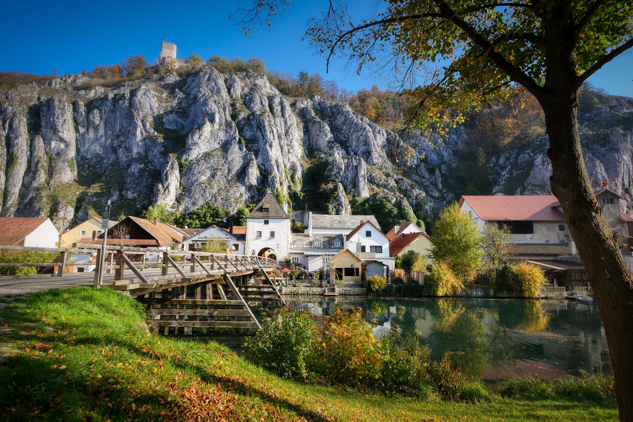
Jurasteig — hiking in the heart of Bavaria
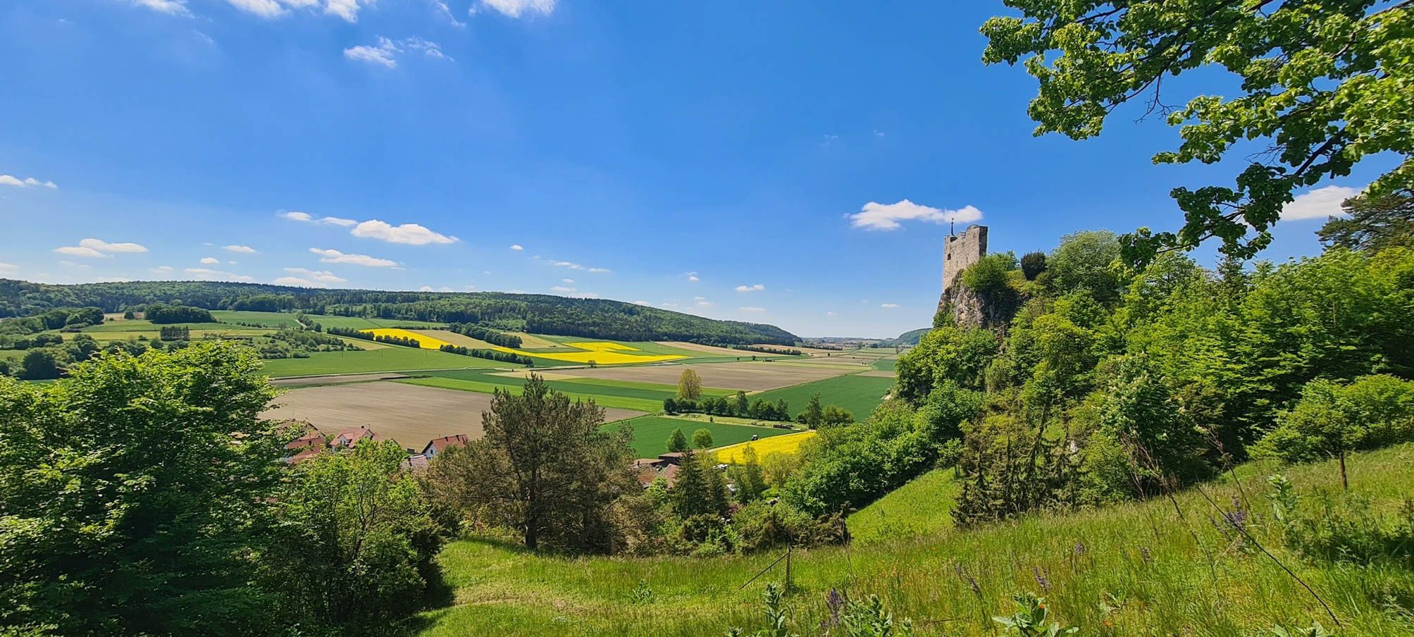
Urdonautalsteig – Hiking through past times
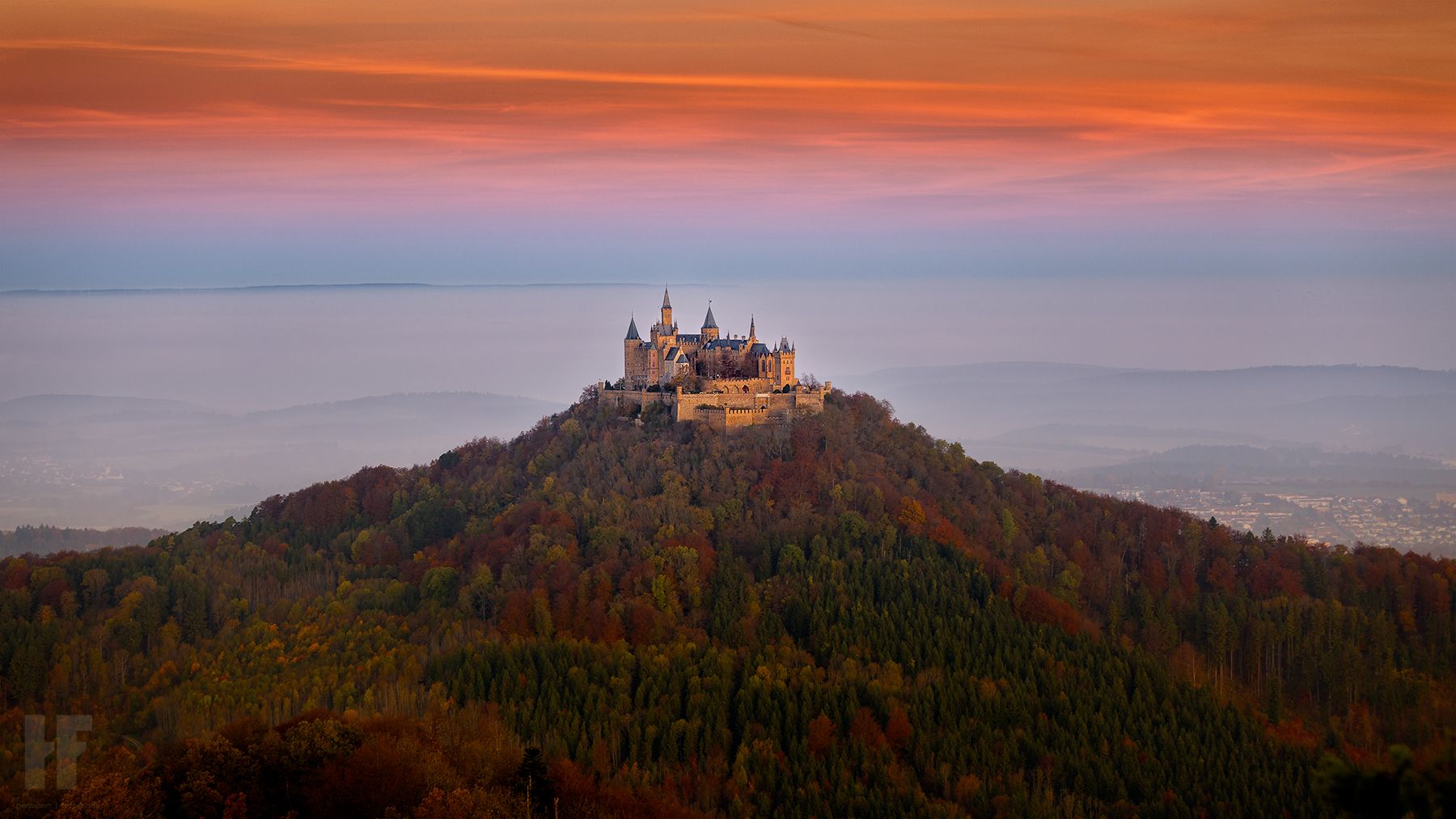
Hohenzollernweg – On the track of the knights, 7 stages
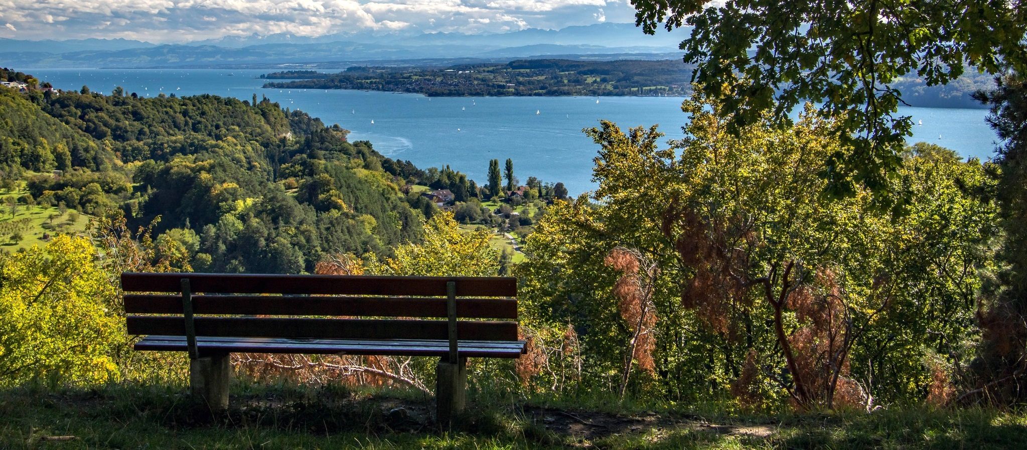
Heuberg-Allgäu Trail – From the Swabian Alb to Alpine foothills
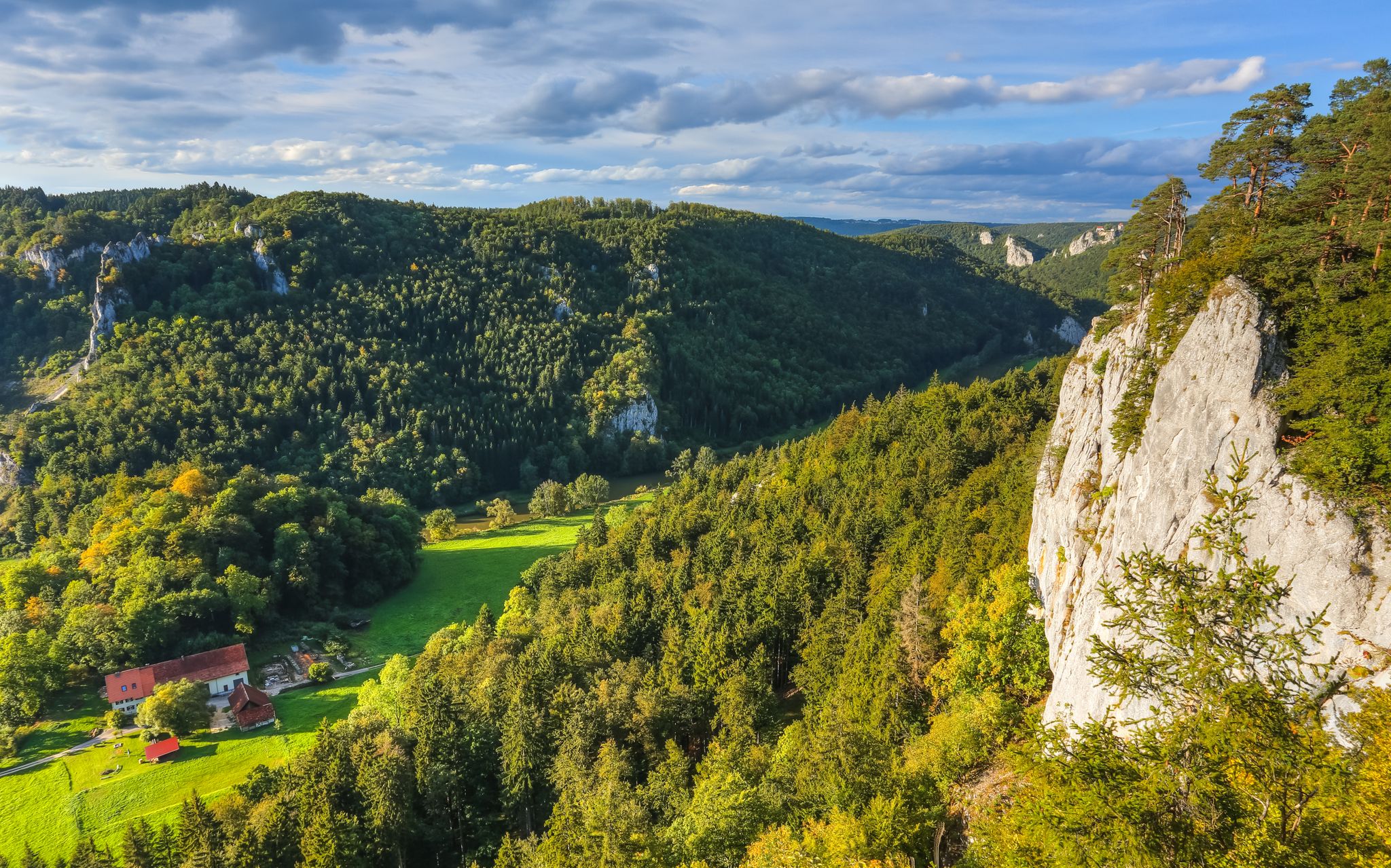
Hike the Danube Upland Trail – Exploring the Swabian Grand Canyon
Other adventures around the Donau


Tips from the Community

The rocky landscape of the Upper Danube Valley is a unique habitat for rare plants, some dating back to bygone eras or normally found in other regions such as the Alps. The rock garden serves to draw attention to this special flora and allows it to be observed without entering the area. It is beautifully landscaped and labeled with plant names.
0
0

The expansive view from the Dürnstein Pulpit is absolutely breathtakingly beautiful. Highly recommended!
8
0
The view from Dürnstein Castle is breathtakingly beautiful!
8
0

Unfortunately, the path was overgrown with nettles, so I couldn't go any further...
1
0


Good place to stop after a nice hike 🥾- Berghaus Knopfmacher
2
0

The Devil's Bridge is a truly unique experience not to be missed. To the left and right of the waist-high stone parapet, the terrain drops a steep 20 meters. A head for heights is definitely recommended. The bridge is particularly impressive from a distance. Like the hump of a dragon, it curves over the abyss, while far below, the Danube meanders gently through the landscape.
1
1

The Vogelbergsteig is a challenging hike from Dürnstein to the historic Dürnstein castle ruins. During the climb, you can enjoy an impressive panoramic view of Dürnstein and the surrounding landscape. Worth seeing vantage points are the protruding rock pulpit of the Vogelberg and the Starhembergwarte at the summit of the Schlossberg. The climb up the Vogelbergsteig is interesting due to the many different sections of the path, but challenging due to the relatively steep gradient. The last third leads through rocks and over a granite slab with scree and is well secured with wire rope and chains. When there is snow and ice, the Vogelbergsteig is not accessible for safety reasons.
2
0
Frequently Asked Questions
How many bus station hiking trails are available around the Danube?
There are over 6,400 hiking routes around the Danube that are accessible by bus, offering a wide range of options for all skill levels. You'll find nearly 4,000 easy routes, over 2,300 moderate routes, and more than 140 difficult trails.
What kind of landscapes can I expect on bus-accessible hikes along the Danube?
The Danube region offers incredibly diverse landscapes. You can expect to hike through forested valleys, lush green hills, and along the water's edge. In areas like the Upper Danube Nature Park, you'll encounter dramatic limestone cliffs and rugged karst peaks, often referred to as the 'Swabian Grand Canyon'. Other trails feature picturesque vineyards, extensive floodplain forests, and even juniper heathland.
Are there any circular hiking routes accessible by bus around the Danube?
Yes, the Danube region is well-known for its circular routes, especially the 120 Donausteig loops that are designed for day trips and often return to their starting point. Many of these are easily accessible via public transport, making them ideal for bus-based hiking adventures.
What historical or cultural attractions can I see on bus-accessible hikes?
Many bus-accessible hikes along the Danube pass by significant historical and cultural sites. You can explore medieval towns, ancient castle ruins like Dürnstein, and charming villages. The region also features impressive abbeys and monasteries, such as Engelszell Abbey, and numerous legends and myths are often highlighted on info boards along trails like the Donausteig.
Are there any challenging bus-accessible hikes for experienced hikers?
Absolutely. For experienced hikers seeking a challenge, the Danube Peaks Trail (Donauberglandweg) offers a more demanding experience with significant climbs, including scaling the Lemberg, the highest mountain in the Swabian Jura. A challenging option is the Vogelbergsteig and Dürnstein castle ruins tour, which features considerable elevation gain.
What do other hikers enjoy most about the bus-accessible trails around the Danube?
The bus-accessible trails around the Danube are highly rated by the komoot community, with an average score of 4.5 stars from over 15,000 ratings. Hikers often praise the well-marked paths, the stunning panoramic views, and the convenience of reaching diverse natural and cultural highlights using public transport.
Are there any specific natural wonders to look out for on these trails?
Yes, the Danube region is home to several natural wonders. The spectacular Inzigkofer caves and rock gate are a highlight, as is the dramatic Schlögener Schlinge (Danube Loop) in Upper Austria, where the river makes a 180-degree bend. You can also find refreshing gorges with cascading waterfalls, especially along sections of the Donausteig.
Can I find trails that offer panoramic views of the Danube?
Many trails are specifically designed to offer breathtaking panoramic views of the Danube. Vantage points like the Schlögener Blick provide stunning vistas of the Danube Loop. The Donauwelle: Eichfelsen Panorama and Swabian Grand Canyon route is an excellent example, offering expansive views over the river and its dramatic surroundings.
Are there any places to stop for refreshments or shelter along the bus-accessible routes?
Yes, the region offers various options for refreshments and shelter. You can find charming huts and snack bars, such as the Hunter's House or the Ziegelhütte Snack Bar, strategically located along many trails. Some routes also pass through towns with restaurants and cafes, especially in wine-growing regions like the Wachau Valley.
What is the best time of year for bus-accessible hiking around the Danube?
The Danube region is beautiful year-round, but spring (April-May) and autumn (September-October) are particularly popular for hiking. During these seasons, the weather is generally mild, and the landscapes are vibrant with blooming flowers or rich autumn colors. Summer offers longer daylight hours, while winter can provide unique, serene experiences, though some higher-altitude trails might be less accessible.
Are there any trails that feature unique geological formations?
Yes, the Danube region is rich in unique geological features. The Upper Danube Nature Park, in particular, is known for its rugged limestone cliffs dating back to the Jurassic period. You can also find interesting rock formations and caves, such as the Leibertinger Tobel Rock Formations and Caves, which add an extra layer of exploration to your hike.
Most popular routes around the Donau
Most popular attractions around the Donau

Get inspired with the komoot mobile app


