The best mountain hikes around the Donau
4.4
(8)
139
hikers
32
hikes
Mountaineering routes around the Donau traverse a diverse landscape, characterized by rugged river valleys, deep gorges, and limestone formations. The region features varied terrain, from the karst peaks and rocky ridges of the Upper Danube Valley in Germany to the dramatic 180-degree bends through granite hills in Austria. Further east, the Danube carves through steep cliff walls in the Iron Gates, offering challenging routes with significant elevation changes despite lower peak altitudes. These areas provide extensive trail networks through forested…
Last updated: July 1, 2026
14
hikers
16.6km
05:11
660m
660m
Hard mountaineering route. Very good fitness required. Easily-accessible paths. Suitable for all skill levels.
4.7
(3)
9
hikers
13.6km
03:48
250m
250m
Moderate mountaineering route. Good fitness required. Easily-accessible paths. Suitable for all skill levels.

Sign up for free
4
hikers
Easy mountaineering route. Great for any fitness level. Easily-accessible paths. Suitable for all skill levels.
5.0
(3)
8
hikers
Moderate mountaineering route. Good fitness required. Easily-accessible paths. Suitable for all skill levels.
8
hikers
Moderate mountaineering route. Good fitness required. Easily-accessible paths. Suitable for all skill levels.
8
hikers
4.47km
01:30
200m
200m
Easy mountaineering route. Great for any fitness level. Easily-accessible paths. Suitable for all skill levels.
8
hikers
Easy mountaineering route. Great for any fitness level. Easily-accessible paths. Suitable for all skill levels.
7
hikers
Hard mountaineering route. Very good fitness required. Mostly accessible paths. Sure-footedness required.
5
hikers
10.5km
02:56
200m
200m
Moderate mountaineering route. Good fitness required. Easily-accessible paths. Suitable for all skill levels.
3
hikers
Moderate mountaineering route. Good fitness required. Easily-accessible paths. Suitable for all skill levels.
Get access to more routes and recommendations from other explorers.
Sign up for free
Already have an account?
Our route recommendations are based on thousands of hikes, rides, and runs completed by other people on komoot.
Start today with a free account
Your next adventure awaits.
Login or Signup
Popular around Danube

Central Alps Trail Eastern Section – Discover Austria

Augsburger Jakobsweg – Through Bavarian-Swabia

Main-Danube-Lake Constance Trail – Along iconic waters
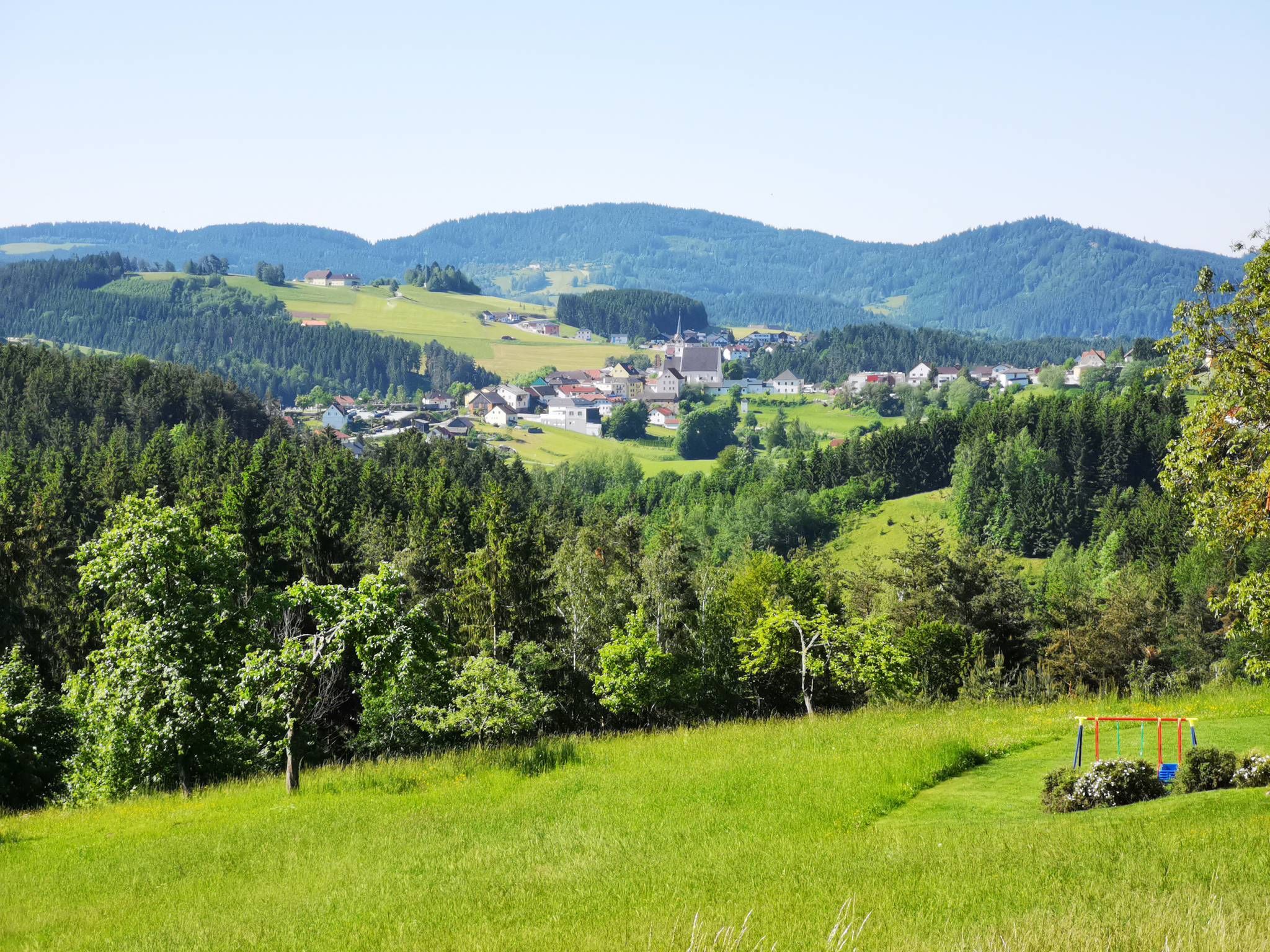
Austria's Mühlviertel Cycle Path — A hilly idyll

The Romantic Road – To the Pearls of Southern Germany

Ruperti Trail – Hike from Austria's Bohemian Forest to the Carnic Alps
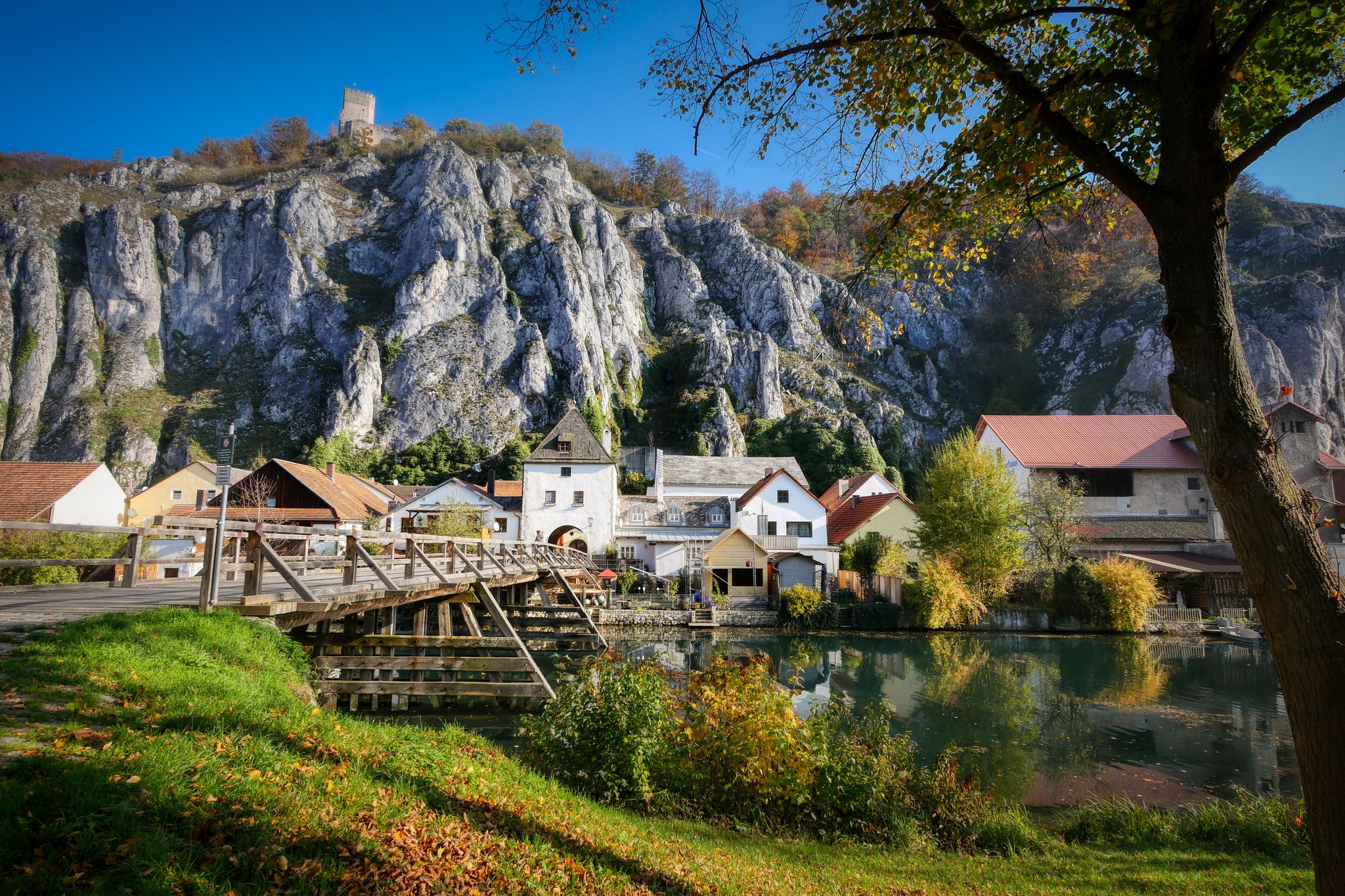
Jurasteig — hiking in the heart of Bavaria
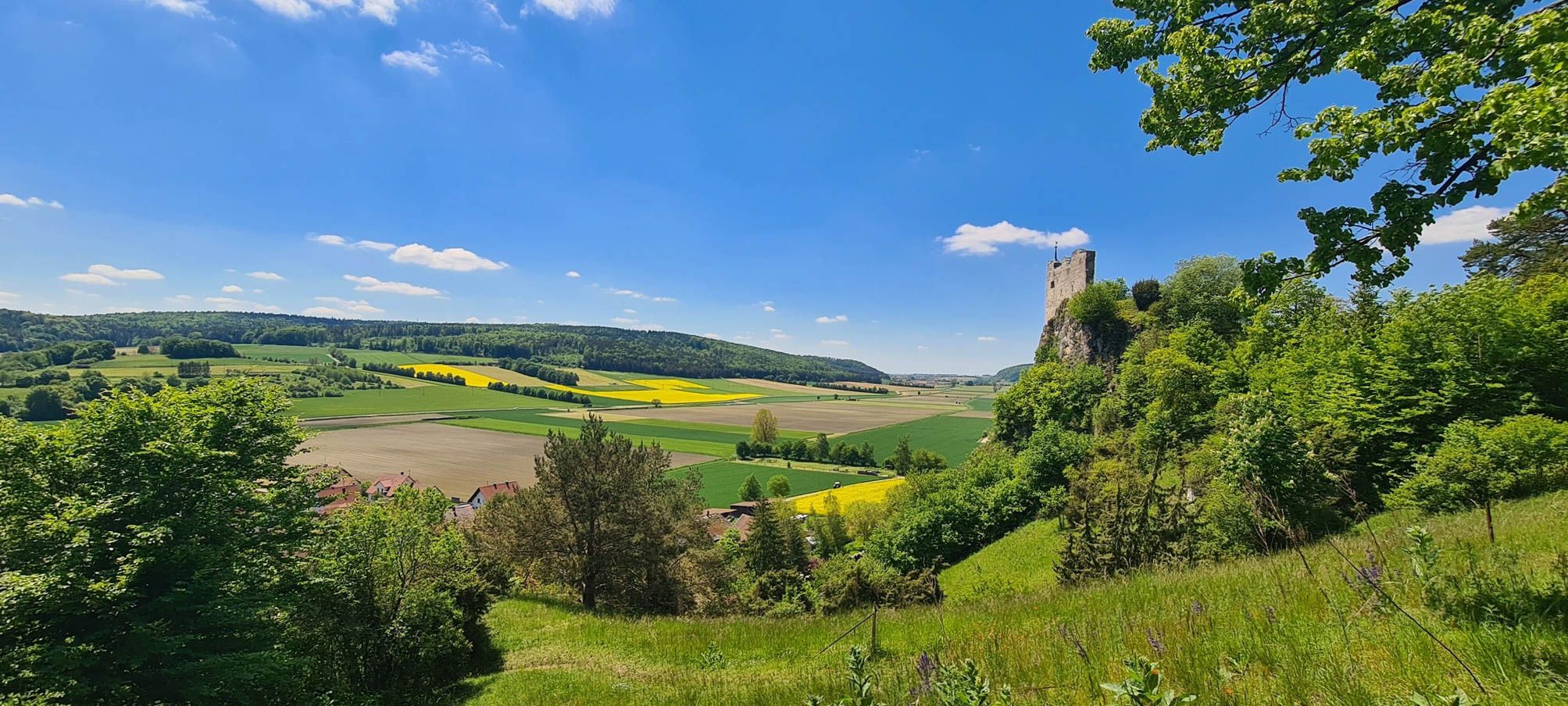
Urdonautalsteig – Hiking through past times
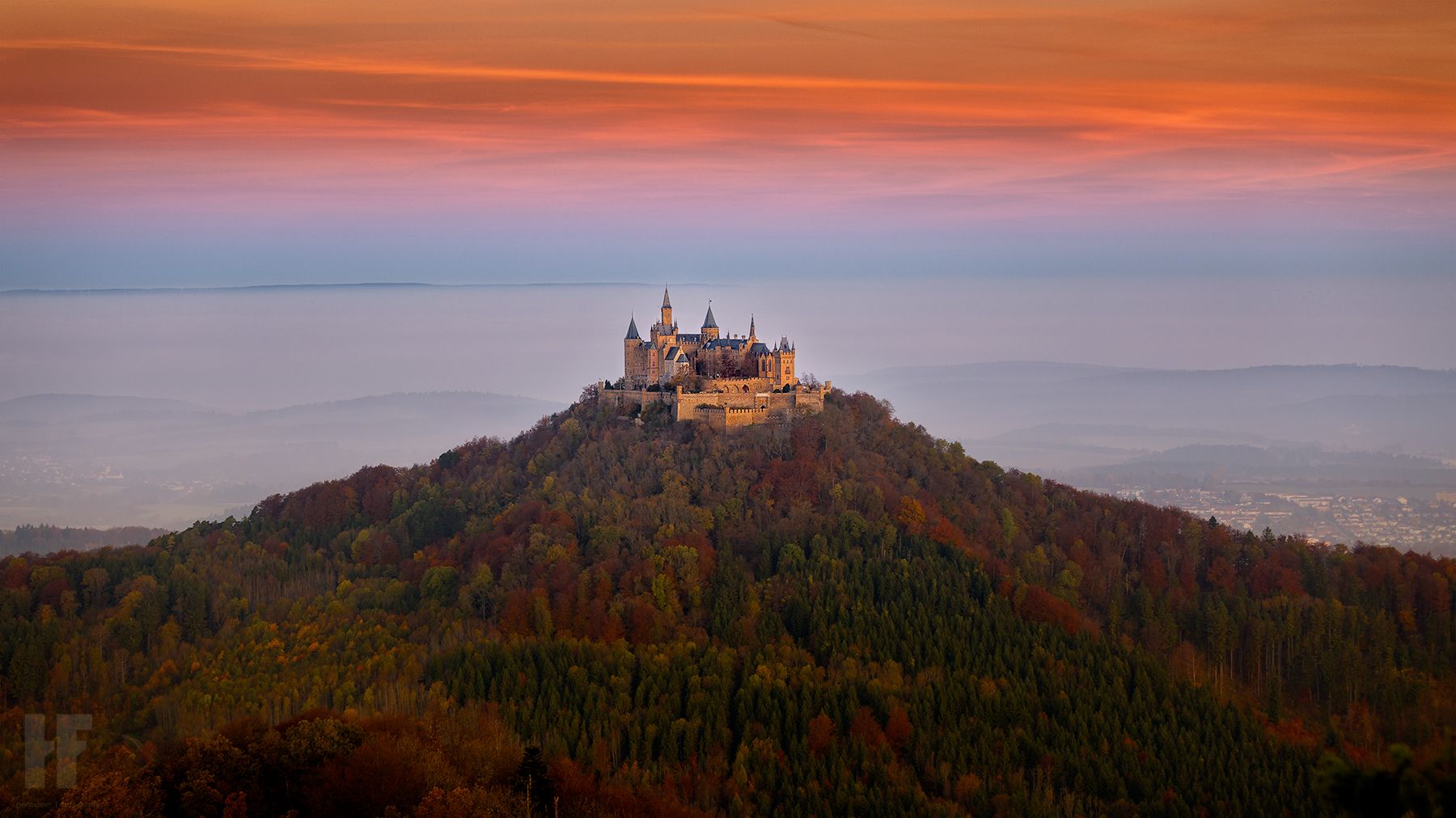
Hohenzollernweg – On the track of the knights, 7 stages
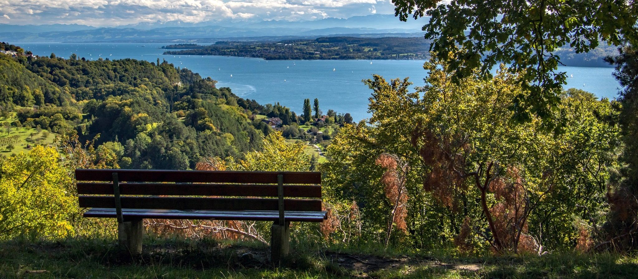
Heuberg-Allgäu Trail – From the Swabian Alb to Alpine foothills
Other adventures around the Donau


Tips from the Community

The summit cross on the Gis (Lichtenberg) was completely renewed and re-consecrated in June 2026!
3
0
Giselawarte was built in 1856 and named after Princess Gisela, a daughter of Emperor Franz Joseph. In 1960, it was increased by two stories.
3
0
Built in 1856 and named after Princess Gisela, a daughter of Emperor Franz Joseph. In 1960, two stories were added.
3
0


Built in 1856, the Giselawarte is located at 927m above sea level.
0
0

The viewing platform on Kahlenberg is one of Vienna's most famous viewpoints, offering a sweeping panoramic view of the city. From the platform, large parts of the Inner City, the Danube, Danube Island, and the outer districts are clearly visible. On a clear day, the view extends far beyond the city limits into the Vienna Basin and the surrounding countryside. Its elevated position on the edge of the Vienna Woods combines nature with city views, making the platform a popular destination for cyclists who want to experience Vienna from a bird's-eye perspective.
0
0

Maierhof viewpoint with panoramic views of Bavaria.
0
0
Frequently Asked Questions
Are there mountaineering routes suitable for beginners around the Danube?
Yes, the Danube region offers several easy mountaineering routes. For instance, the Ciucaru Mare – Punct de belvedere loop from Dubova in the dramatic Iron Gates gorge is an easy 2.8 miles (4.5 km) trail. Another accessible option is the View from Leopoldsberg – View of Vienna from the Kahlenberg loop from Biosphärenpark Wienerwald Kernzone Leopoldsberg, which is 3.5 miles (5.6 km) long and offers great views.
What kind of challenging mountaineering routes can I find along the Danube?
For those seeking a challenge, the Danube region features several difficult mountaineering routes. The Dürnstein Castle Ruins loop from Dürnstein is a demanding 3.5 miles (5.7 km) trail offering historical views. Another difficult option is the Fahnenwand – Hirschwandsteig Rocky Outcrop loop from Weißenkirchen i.d. Wachau, spanning 6.7 miles (10.7 km) with significant elevation changes.
How many mountaineering routes are available in the Danube region?
There are over 35 mountaineering routes available in the Danube region, catering to various skill levels. This includes 9 easy, 24 moderate, and 5 difficult trails, ensuring a diverse range of experiences for every mountaineer.
Can I find circular mountaineering routes along the Danube?
Many mountaineering routes along the Danube are designed as loops, allowing you to start and end at the same point. Examples include the View of Weltenburg Abbey – Hall of Liberation, Kelheim loop from Kelheim, a moderate 8.5 miles (13.6 km) path, and the Haugstein Summit (895 m) – Vichtenstein Castle loop from Engelhartszell an der Donau, which is 7.7 miles (12.4 km) long.
Which routes offer the best viewpoints of the Danube?
Many routes provide stunning views of the Danube. The Dürnstein Castle Ruins loop from Dürnstein offers panoramic vistas of the river and the historic ruins. For a dramatic perspective, the Ciucaru Mare – Punct de belvedere loop from Dubova provides sweeping views of the Danube as it carves through the Iron Gates gorge. You can also find excellent river views from the Danube Lookout on Braunsdorfer Hill.
Are there any routes that pass through dramatic gorges or unique landscapes?
Absolutely. The Danube region is known for its dramatic river-carved landscapes. The Ciucaru Mare – Punct de belvedere loop from Dubova takes you through the spectacular Iron Gates gorge, where the river dramatically narrows between steep cliffs. In Germany, the Upper Danube Valley offers routes through rugged Jurassic limestone cliffs and karst peaks, evoking a romantic landscape.
Are there family-friendly mountaineering routes in the Danube region?
While many routes are challenging, some are suitable for families looking for an outdoor adventure. Easy routes like the View of Vienna loop from Biosphärenpark Wienerwald Kernzone Leopoldsberg, at 2.6 miles (4.1 km), can be a good option for families. Always check the route's difficulty and length to ensure it matches your family's capabilities.
Are dogs allowed on mountaineering trails around the Danube?
Many trails in the Danube region are dog-friendly, allowing you to bring your canine companion. However, it's always advisable to check local regulations or specific trail signage before heading out, especially in nature reserves or national parks, to ensure dogs are permitted and if they need to be on a leash.
What is the best time of year for mountaineering along the Danube?
The best time for mountaineering along the Danube is generally from spring to autumn (April to October), when the weather is milder and trails are clear. Summer offers lush greenery, while spring and autumn provide pleasant temperatures and vibrant foliage. Some lower-altitude trails might be accessible in winter, but conditions can be challenging due to snow and ice, especially in higher sections or gorges.
What do other mountaineers enjoy the most about mountaineering in Danube?
The Danube region is highly rated by the komoot community, with an average score of 4.6 stars from over 10 reviews. Reviewers often praise the diverse terrain, from rugged river valleys to deep gorges and forested hills, as well as the stunning viewpoints and the well-maintained trail networks that cater to various ability levels.
Are there any interesting landmarks or attractions to see along the mountaineering routes?
Yes, the routes often pass by or offer views of significant landmarks. You can see the historic Dürnstein Castle ruins on the Dürnstein Castle Ruins loop. The View of Weltenburg Abbey – Hall of Liberation, Kelheim loop provides scenic views of cultural landmarks. Other notable points of interest in the wider region include the Pfenningberg Summit Cross and the Starhemberg Lookout.
Are there any longer, multi-day mountaineering options in the Danube region?
While specific multi-day routes are not detailed in the provided data, the region's extensive trail networks, such as the Donauberglandweg in Germany's Upper Danube Valley, are known for offering multi-day trekking experiences. These routes allow you to immerse yourself in the diverse landscapes, from karst peaks to juniper heathland, over several days.
Most popular routes around the Donau
Most popular attractions around the Donau

Get inspired with the komoot mobile app


