Top 20 Natural Monuments around Shap Rural
Best natural monuments around Shap Rural are found in a dramatic and varied natural landscape featuring fells, valleys, reservoirs, and unique geological formations. This area, nestled in the eastern fringes of the Lake District in Cumbria, England, offers a wealth of natural monuments for outdoor exploration. Visitors can experience diverse geological features, expansive moors, and significant waterways. The region provides opportunities to observe wildlife and explore distinctive natural landmarks.
Best natural monuments around Shap Rural
- The most popular natural monuments…
Last updated: May 19, 2026
Fairfield Summit
Highlight • Trail
Tip by

Dove Crag summit
Highlight • Summit
Tip by

Sign up now to discover places like this
Get recommendations on the best single tracks, peaks, & plenty of other exciting outdoor places.
Sign up for free
Stone Arthur Summit
Highlight • Summit
Tip by

Kidsty Pike
Highlight • Summit
Tip by

St Sunday Crag
Highlight • Viewpoint
Tip by
Sign up for free to discover even more natural monuments around Shap Rural.
Sign up for free
Already have an account?
Start today with a free account
Your next adventure awaits.
Login or Signup
Popular around Shap Rural
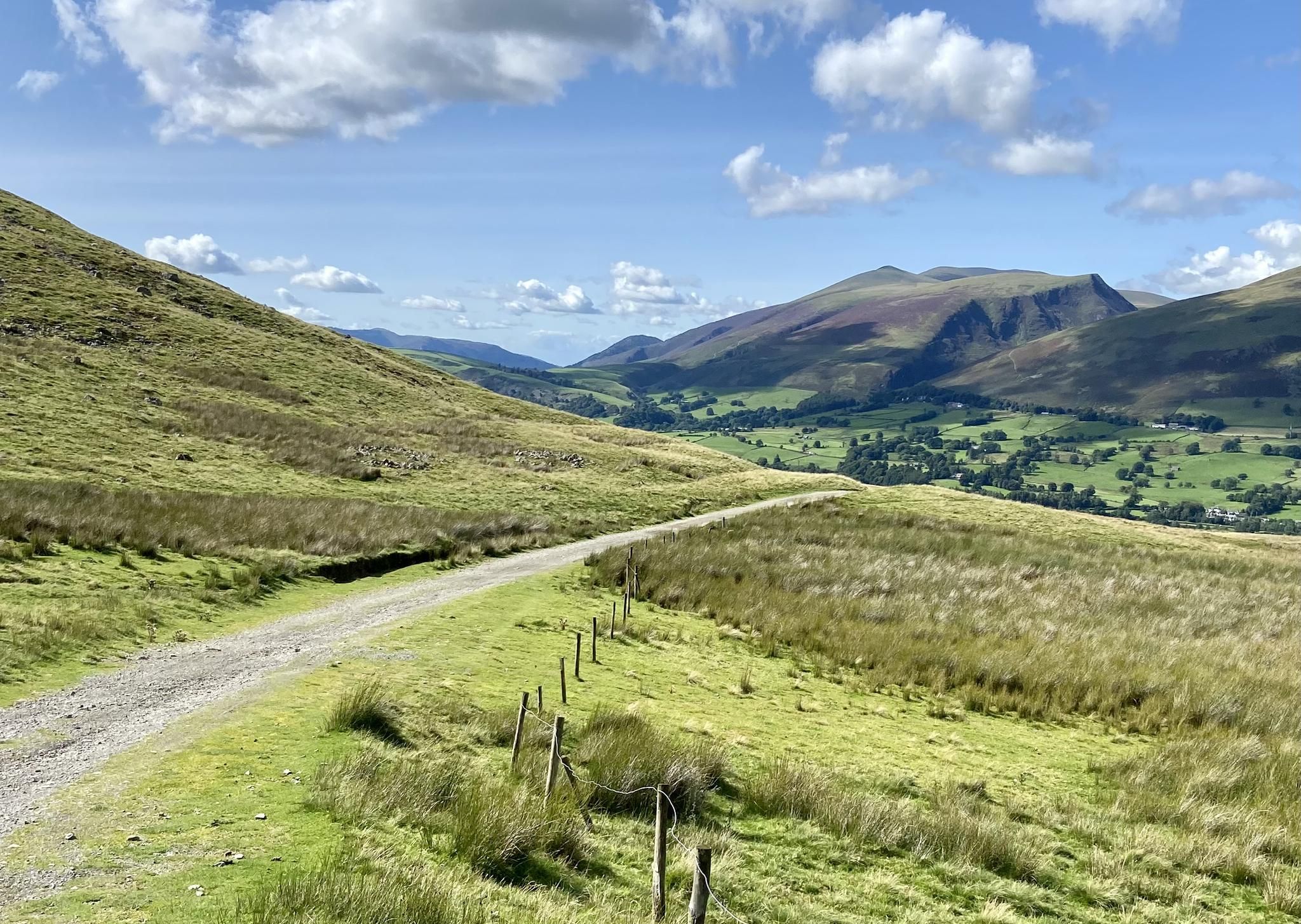
Lakeland 100 – ultra tour of the Lake District
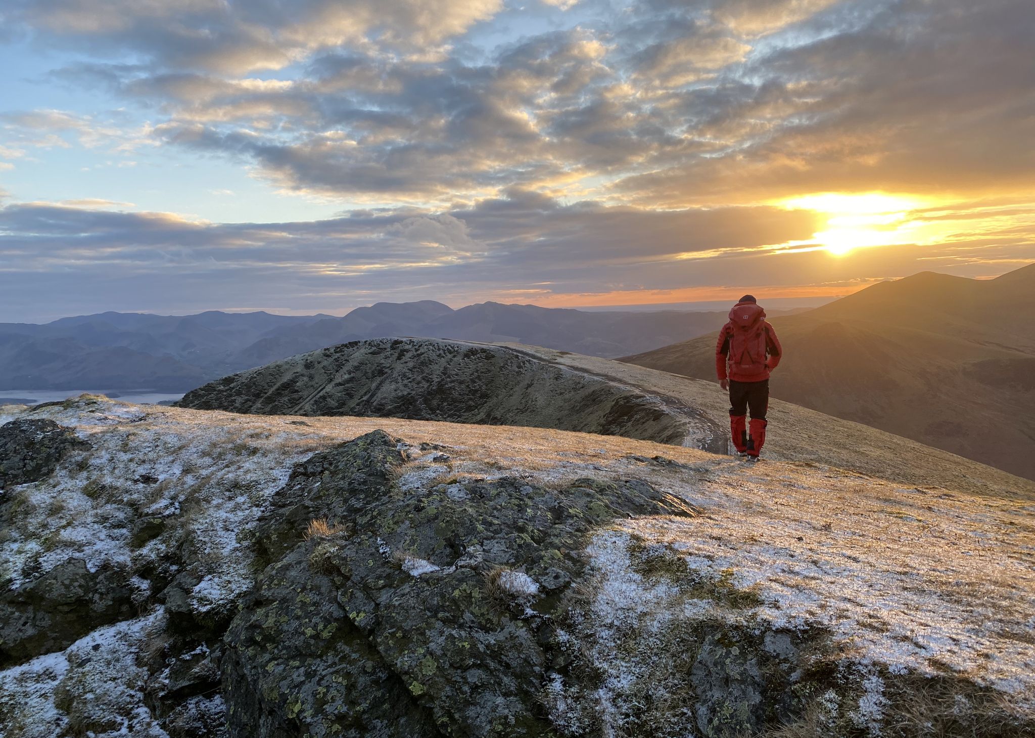
Sublime Adventures in the Fells – Great Lake District Walks
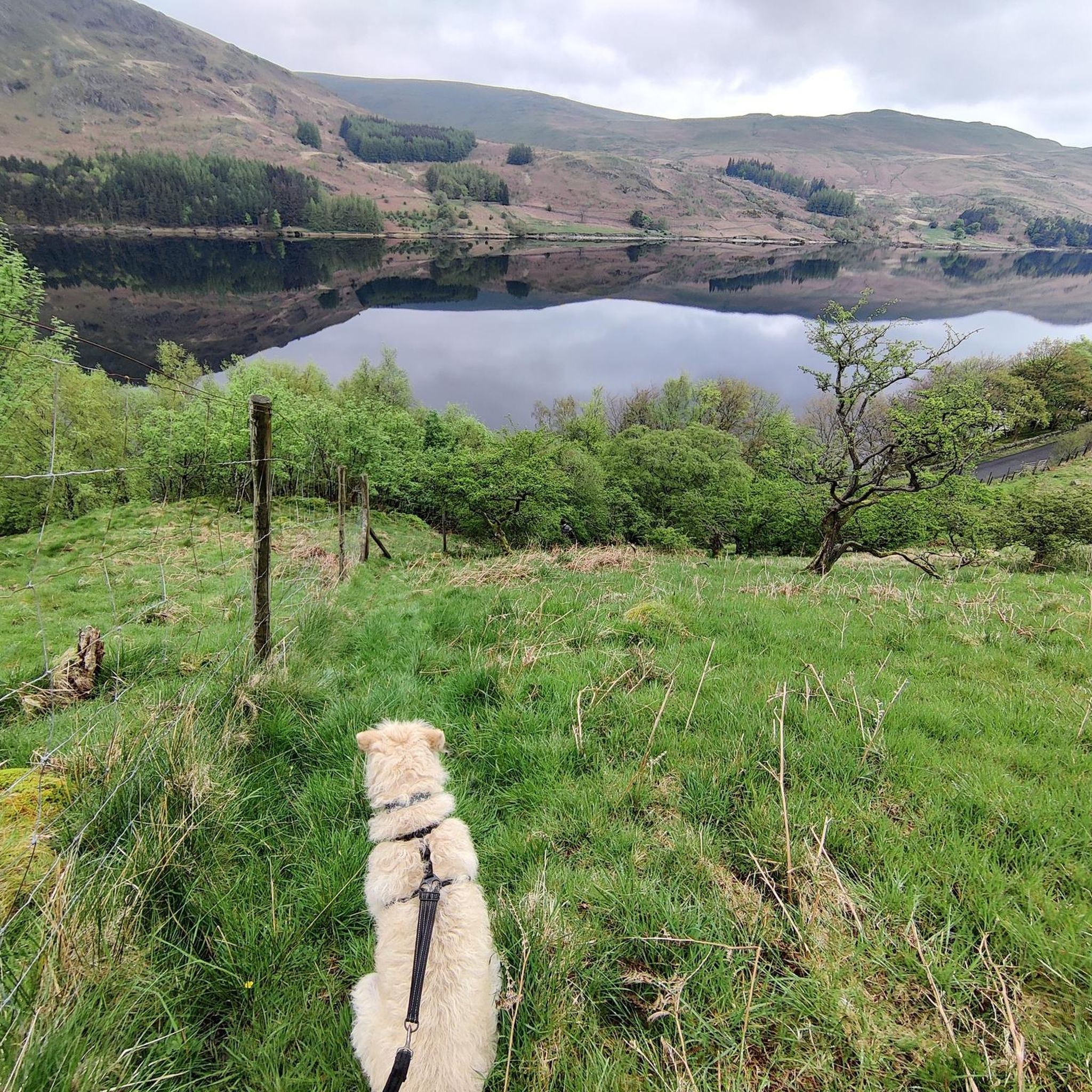
Hiking around Shap Rural
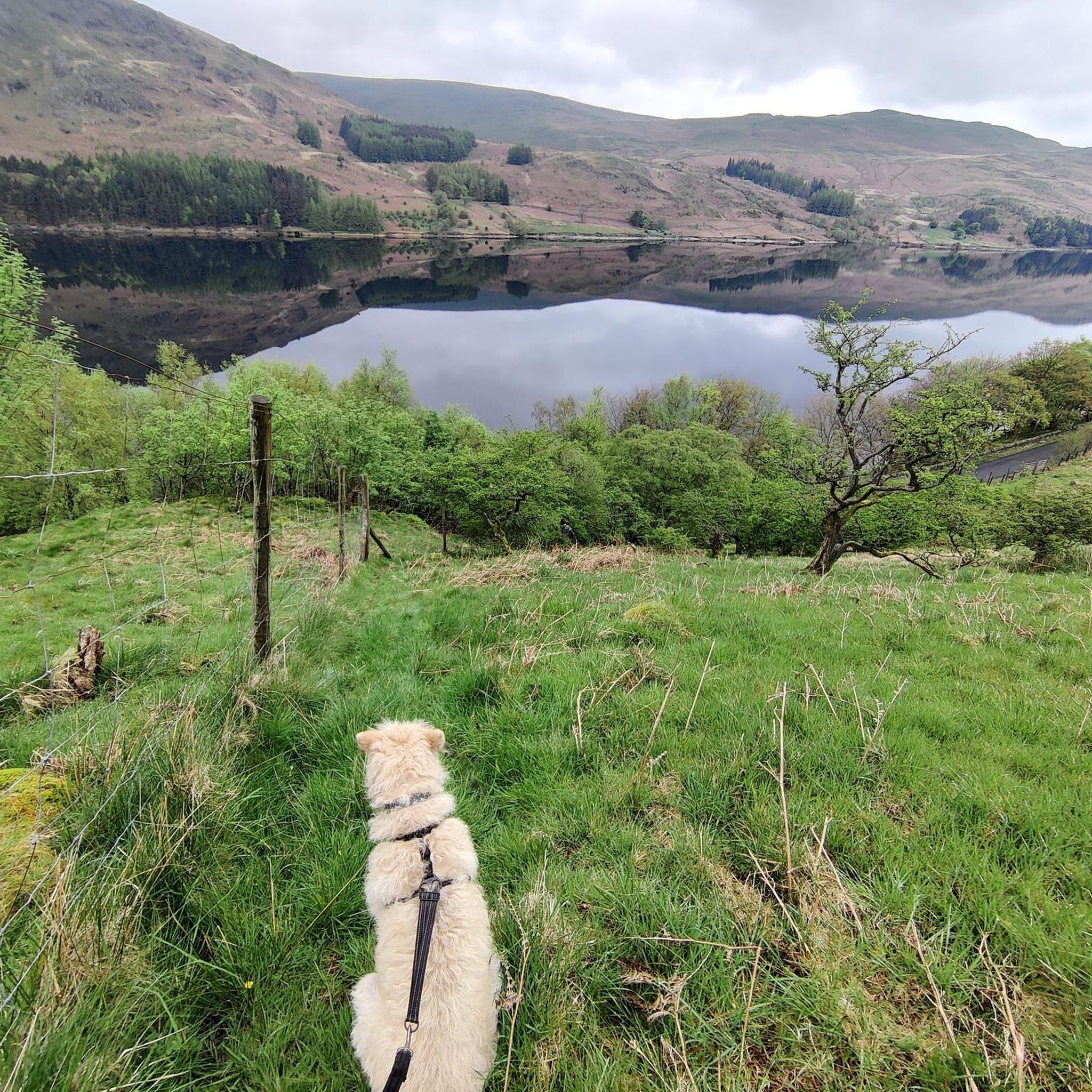
Road Cycling Routes around Shap Rural
Running Trails around Shap Rural
Cycling around Shap Rural
MTB Trails around Shap Rural
Gravel biking around Shap Rural
Mountain Hikes around Shap Rural


Tips from the Community

Stone Arthur is a 503-meter (1,650 ft) spur coming off Great Rigg. I could have done without this 200+ metre ascent drop down from Great Rigg just to knock off another Wainwright, but it was well worth it for the views down over Grasmere and Helm Crag. It is just a rocky spur, but on a sky-blue day the cut of the fells on the skyline and the quilted greenery of the countryside carve a mesmerisingly beautiful vista.
0
0
Dove Crag summit is quite unassuming, just a small cairn on a rocky ledge, but it offers a good vantage point with super nice expansive views over the eastern fells and back towards High Pike. It is quite a walk to get here from Ambleside; most do it as part of the Fairfield Horseshoe, but it is well worth it for the views. It is also famous for the hidden Priest Hole Cave located on its steep eastern cliff face.
0
0
The trig-pointed summit of High Street is a broad, flat plateau rather than a dramatic, sharp peak or cliff edge as is common in the Lake District. It is a super good place for a rest break, as there are nearby stone walls for a windbreak. While barren, it has good views of the surrounding fells.
0
0
Kidsty Pike's small summit cairn sits on a rocky outcrop overlooking a dramatic drop down into Riggingdale Valley. This 780-metre (2,631 ft) peak provides a sharp, rocky, and dramatic Wainwright that is in close proximity to The Knott, Rampsgill Head, High Rise, and High Street, all fellow Wainwrights.
0
0

An impressive summit. I loved viewing it from Fairfeld (reminded me of Chrome Hill in the Peak District) then the mini scramble down cofa pike before ascending again to the summit.
0
0

This is the highest point of the Coast to Coast path
1
0


Frequently Asked Questions
What unique natural features can I explore around Shap Rural?
Shap Rural offers a diverse landscape. You can explore the distinctive limestone pavements on Hardendale Nab and Crosby Ravensworth Fell, vast high peaty moors, and tranquil river valleys like the River Lowther. The area also features several reservoirs, including Wet Sleddale and Haweswater, which are excellent for scenic walks.
Are there any historical or archaeological natural monuments in the area?
Yes, the natural landscape around Shap Rural is intertwined with ancient history. You can visit the remains of the Shap Stone Avenue, including the Kemp Howe Stone Circle, which is a significant megalithic complex. Other prehistoric sites like Gunnerkeld Stone Circle and various burial cairns are also found amidst the fells and valleys, offering a glimpse into the region's past. For more information on the Shap Stone Avenue, you can visit Wikipedia.
What kind of wildlife can I spot near the natural monuments in Shap Rural?
The natural monuments in Shap Rural are rich in wildlife. At Wet Sleddale Reservoir, you can observe large flocks of wildfowl and wading birds. The River Lowther and its tributaries are home to species like curlew, oystercatcher, and kingfisher. On the high peaty moors, you might encounter Fell ponies, a rare and hardy breed. Haweswater Reservoir and its surrounding fells are also prime locations for wildlife, including deer, especially around Selside Pike.
What are some popular hiking trails near these natural monuments?
There are many popular hiking trails that allow you to experience the natural monuments. For challenging ascents and panoramic views, consider routes around Haweswater Reservoir, such as those leading to High Street, Harter Fell, or Selside Pike. You can find detailed hiking routes, including options like the 'Mardale Head – High Street summit loop', by visiting the Hiking around Shap Rural guide.
Are there family-friendly natural monuments to visit in Shap Rural?
While many natural monuments involve more challenging hikes, some areas offer gentler experiences suitable for families. The tranquil valleys and lakeside paths around Wet Sleddale Reservoir provide peaceful settings for walks. The River Lowther valleys also offer pleasant, less strenuous walks where families can enjoy birdwatching and the picturesque Forces Falls on Swindale Beck.
What is the best time of year to visit the natural monuments around Shap Rural?
The best time to visit largely depends on your preferred activity. Spring and summer offer milder weather, ideal for hiking and enjoying the vibrant flora. Autumn brings stunning colours to the fells. Winter can be dramatic and beautiful, especially for experienced hikers seeking solitude and snowy landscapes, but requires appropriate gear and caution due to potentially harsh conditions.
Can I bring my dog to the natural monuments in Shap Rural?
Many natural areas and trails around Shap Rural are dog-friendly. However, it's important to keep dogs under control, especially in areas with livestock or ground-nesting birds, and to follow the Countryside Code. Always check specific signage at each location for any restrictions.
What outdoor activities, besides hiking, can I do near these natural monuments?
Beyond hiking, Shap Rural offers opportunities for other outdoor activities. Road cycling is popular, with routes like the 'Haweswater Dam – Mardale Head loop' allowing you to explore the scenic reservoir areas. You can find more cycling options in the Road Cycling Routes around Shap Rural guide. Trail running is also a great way to experience the fells, with routes such as the 'High Street summit – Kidsty Pike loop' available in the Running Trails around Shap Rural guide.
What do visitors enjoy most about the natural monuments in Shap Rural?
Visitors frequently praise the expansive views and the sense of wilderness. For instance, Kidsty Pike offers spectacular views over the wild landscape. The airy hiking over grassy slopes of the Fairfield Horseshoe, with Fairfield Summit as its highest point, is also highly regarded. Many appreciate the tranquility and opportunities for solitude found in areas like Wet Sleddale Valley.
Are there any less crowded natural attractions around Shap Rural?
For a sense of solitude, consider exploring the high peaty moors, which offer expansive views and a profound sense of wilderness away from more frequented paths. Wet Sleddale Valley and its reservoir are also known for their peaceful atmosphere, attracting fewer crowds than some of the more prominent Lake District locations, making them ideal for quiet contemplation and birdwatching.
What should I bring for hiking around the natural monuments in Shap Rural?
When hiking in Shap Rural, it's essential to be prepared for varied weather conditions. Always carry appropriate waterproof and warm clothing, sturdy hiking boots, a map and compass (or GPS device), sufficient water and snacks, and a first-aid kit. The terrain can be challenging, especially on the fells, so good physical fitness is also recommended.
Are there any natural monuments with significant viewpoints?
Absolutely. Many of the natural monuments in Shap Rural offer impressive viewpoints. Dove Crag summit provides excellent views of surrounding peaks on a clear day. From Kidsty Pike, you can enjoy spectacular vistas over the wild landscape, and St Sunday Crag offers summit views stretching over the Helvellyn massif and Ullswater. Thornthwaite Crag Beacon also provides extensive views across four valleys.
Most popular routes around Shap Rural
Most popular attractions around Shap Rural

Get inspired with the komoot mobile app


Explore more
Extend your search for the best caves by checking out these guides of the top ones around Shap Rural:
