The best mountain hikes around Shap Rural
4.8
(5)
61
hikers
13
hikes
Mountaineering routes Shap Rural are found on the eastern fringes of the Lake District National Park, offering a diverse and often tranquil landscape for outdoor activities. The region is characterized by rolling hills, open fells, moorland, and river valleys, providing varied terrain for mountaineers. Prominent features include the Shap Fells and significant peaks such as High Street, which offer panoramic views. This area provides a quieter alternative to the more crowded central Lake District, with routes catering to different skill…
Last updated: August 4, 2026
5.0
(2)
25
hikers
13.7km
05:11
780m
780m
Hard mountaineering route. Very good fitness required. Sure-footedness, sturdy shoes and alpine experience required.
5.0
(1)
14
hikers
11.6km
04:53
810m
810m
Hard mountaineering route. Good fitness required. Sure-footedness, sturdy shoes and alpine experience required.

Sign up for free
4.0
(1)
7
hikers
11.9km
04:28
680m
680m
Moderate mountaineering route. Good fitness required. Mostly accessible paths. Sure-footedness required.
5
hikers
9.27km
03:12
480m
480m
Moderate mountaineering route. Good fitness required. Easily-accessible paths. Suitable for all skill levels.
5.0
(1)
3
hikers
9.57km
03:18
490m
490m
Moderate mountaineering route. Good fitness required. Easily-accessible paths. Suitable for all skill levels.
Get access to more routes and recommendations from other explorers.
Sign up for free
Already have an account?
Our route recommendations are based on thousands of hikes, rides, and runs completed by other people on komoot.
Start today with a free account
Your next adventure awaits.
Login or Signup
Popular around Shap Rural
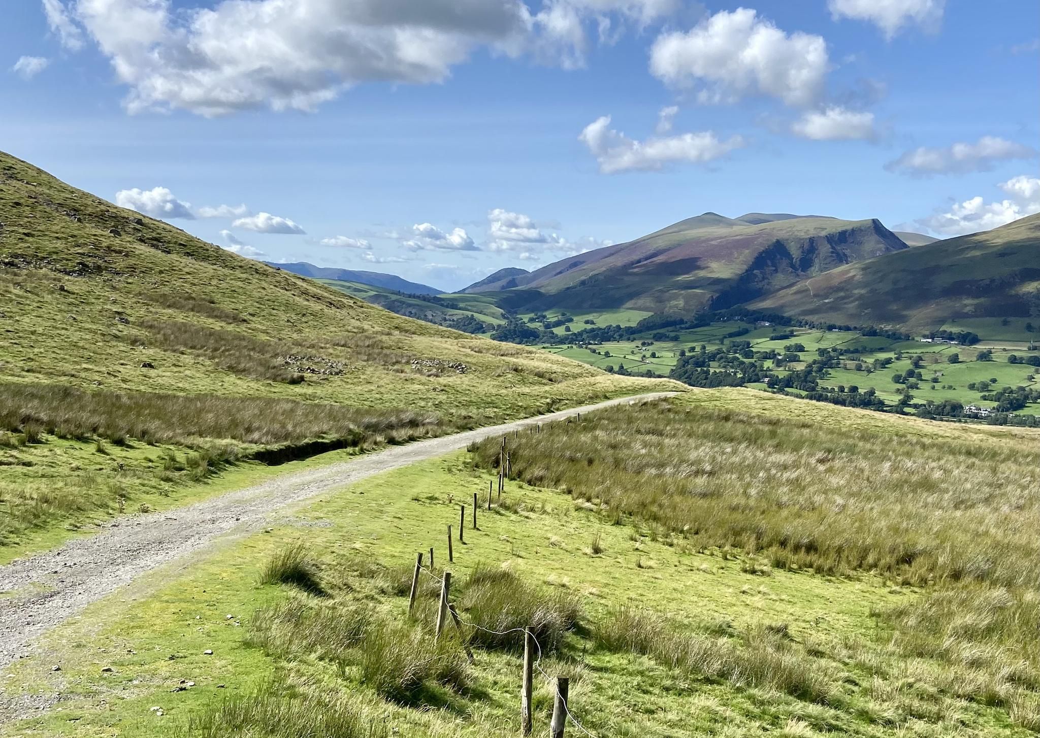
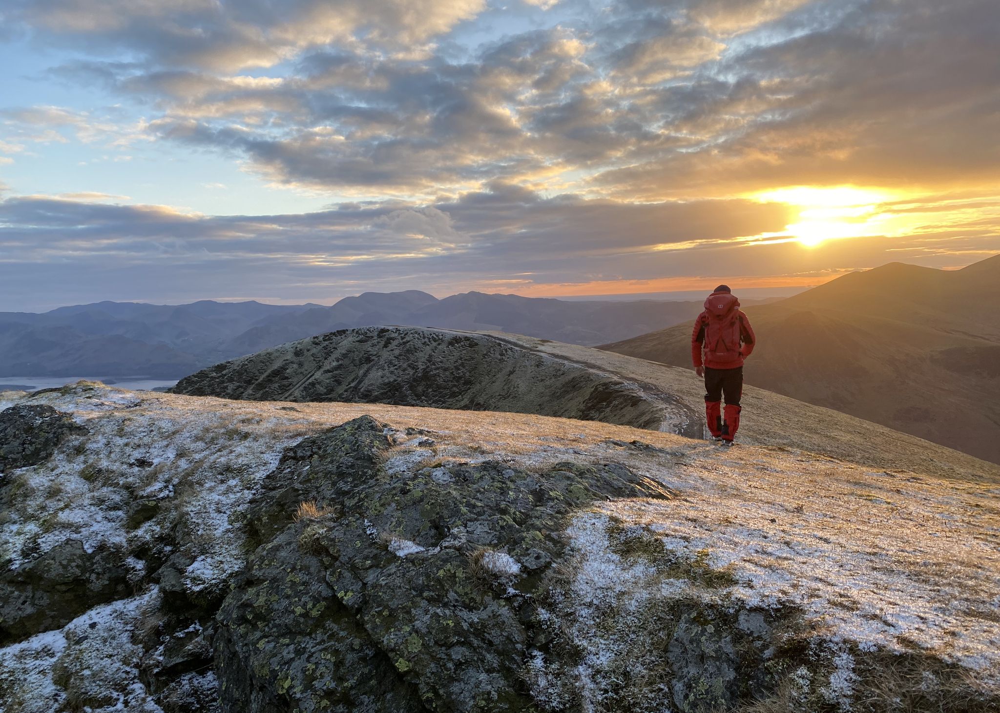
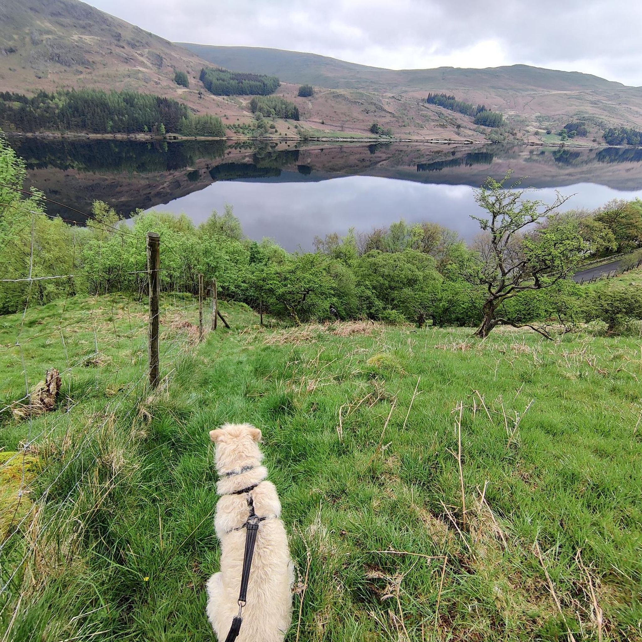
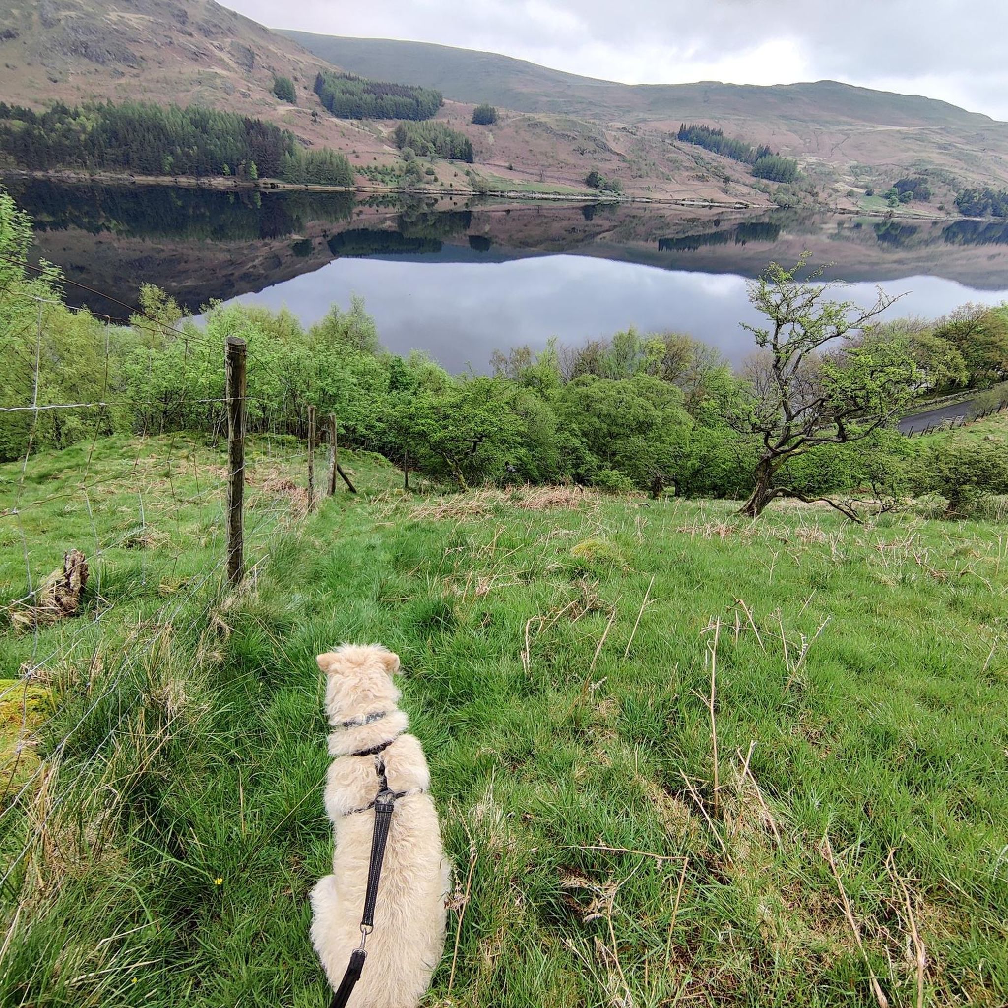
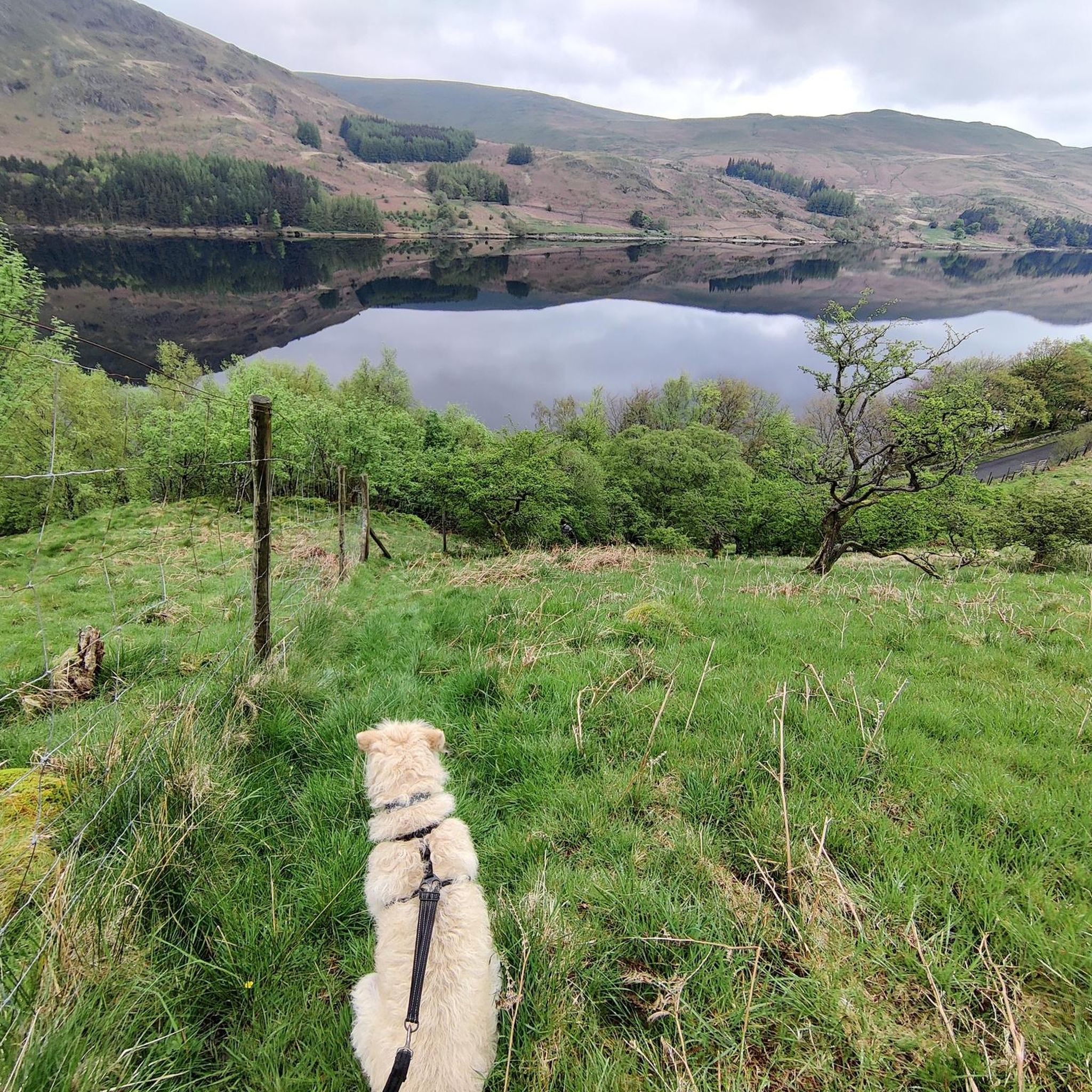
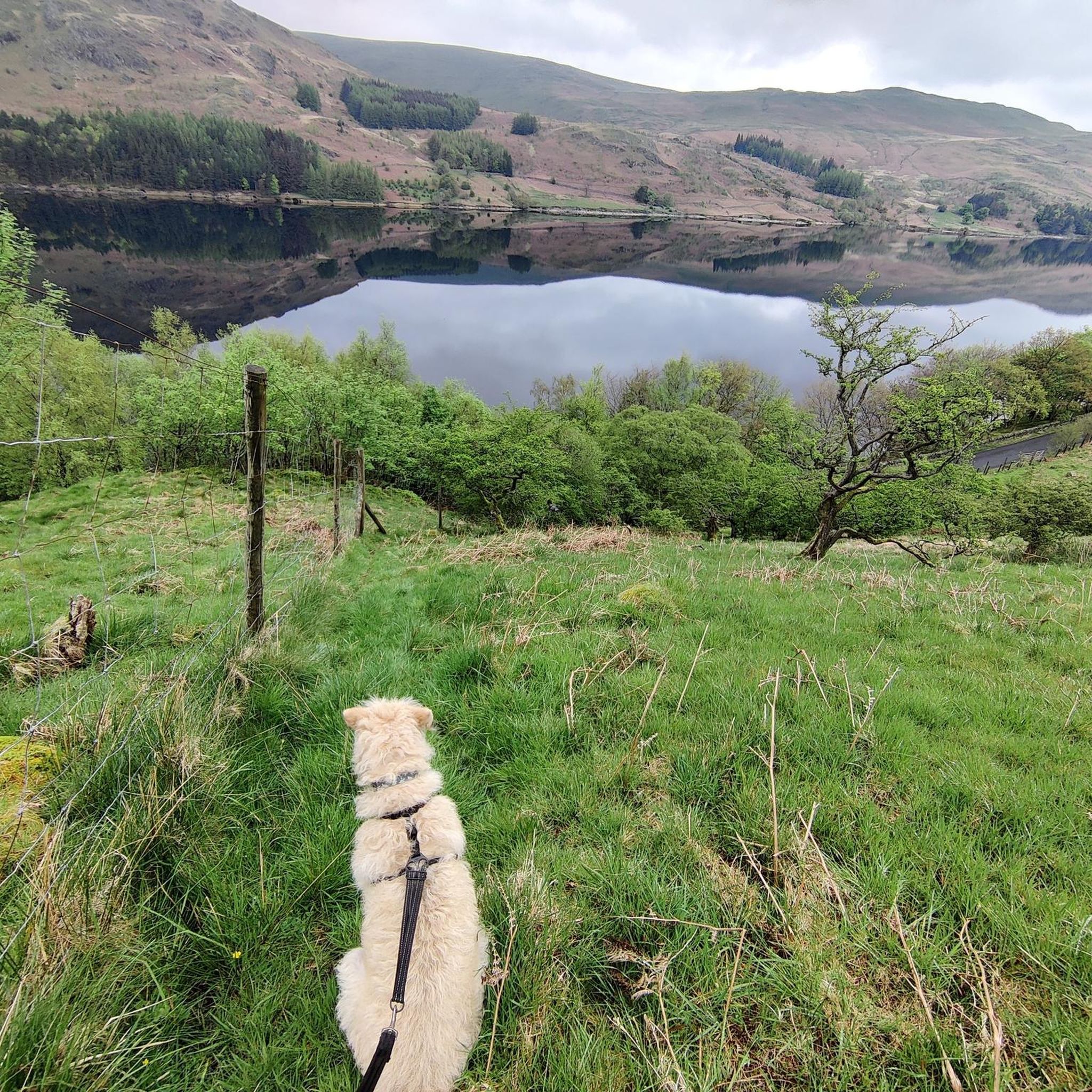


Tips from the Community

We did the loop from Hartsop over The Knott, High Street, Thornthwaite Crag and back through the Pasture Beck valley. (12 km)
0
0

Tarn Crag (664 metres or 2,178 feet) is a great little summit, especially on a sky blue day. There is a small cairn at the true summit, and then there is the marvellous "beacon". This is actually a stone survey pillar that was built in the 1930s as a sighting frame when they built the Haweswater Aqueduct. It was built in order to make sure that the underground tunnel was perfectly aligned. It is a great photo location, as there is a small photogenic pond right next to it, and the views across to Kentmere Pike are super nice.
0
0

Branstree is a 713-metre (2,339 ft) Wainwright's Top fell in the Far Eastern Lake District, known for its flat, boggy summit, minute stone cairn and floor-level circular concrete trig station. It looks like the purists have had a go at the cairn because only the trig station is left. You won't get the best views from this point, but you will soon get them coming off the top down over Haweswater.
0
0
Mardale III Bell is a 760-metre (2,490 ft) Wainwright summit that sits just in between High Street and Harter Fell. It makes for a good vantage point to look down at Haweswater, and it has a small stone cairn on its broad top. It can be walked in a number of ways, including the Kentmere Horseshoe or the Mardale Loop, both excellent walks.
0
0
The trig-pointed summit of High Street is a broad, flat plateau rather than a dramatic, sharp peak or cliff edge as is common in the Lake District. It is a super good place for a rest break, as there are nearby stone walls for a windbreak. While barren, it has good views of the surrounding fells.
0
0
The trig-pointed summit of High Street is a broad, flat plateau rather than a dramatic, sharp peak or cliff edge as is common in the Lake District. It is a super good place for a rest break, as there are nearby stone walls for a windbreak. While barren, it has good views of the surrounding fells.
0
0
Kidsty Pike's small summit cairn sits on a rocky outcrop overlooking a dramatic drop down into Riggingdale Valley. This 780-metre (2,631 ft) peak provides a sharp, rocky, and dramatic Wainwright that is in close proximity to The Knott, Rampsgill Head, High Rise, and High Street, all fellow Wainwrights.
0
0
Frequently Asked Questions
How many mountaineering routes are available in Shap Rural?
Shap Rural offers a good selection of mountaineering routes, with over 15 trails to explore. These routes cater to various skill levels, from moderate climbs to more demanding ascents, allowing you to discover the diverse landscapes of the eastern Lake District.
Are there any circular mountaineering routes in Shap Rural?
Yes, many of the mountaineering routes in Shap Rural are designed as loops, offering a complete journey back to your starting point. For example, the challenging Striding Edge – Helvellyn Summit loop from Patterdale is a popular option, as is the moderate Small Water – Mardale Ill Bell loop from Branstree, which explores the fells around Small Water.
What are some challenging mountaineering routes in the area?
Shap Rural provides several challenging routes for experienced mountaineers. The iconic Striding Edge – Helvellyn Summit loop from Patterdale is a difficult 8.4-mile trail featuring the famous ridge. Another demanding option is the Patterdale Village – St Sunday Crag loop from Patterdale, which covers nearly 10 miles through varied fell terrain.
Are there less crowded mountaineering routes in Shap Rural compared to the central Lake District?
Absolutely. Shap Rural is renowned for being a quieter alternative to the more bustling central Lake District. You'll find many routes, particularly across the Shap Fells, that offer a sense of solitude and remote beauty, allowing for a more tranquil mountaineering experience.
What kind of natural features and viewpoints can I expect to see on these routes?
The mountaineering routes in Shap Rural offer stunning natural features and panoramic viewpoints. You can expect to see rolling hills, open fells, and river valleys. Prominent peaks like High Street provide extensive views. You might also encounter significant fells such as Wansfell Pike summit or Fairfield Summit, offering superb vistas of the surrounding countryside.
Are there any waterfalls near the mountaineering trails in Shap Rural?
Yes, the region is home to several picturesque waterfalls that can be a beautiful addition to your trip. Notable waterfalls include Aira Force and Aira Beck Waterfalls, which are popular attractions. You might also find smaller cascades along various streams and becks, such as Forces Falls.
What is the best time of year for mountaineering in Shap Rural?
The best time for mountaineering in Shap Rural is generally from late spring through early autumn (May to October) when the weather is milder and daylight hours are longer. However, the diverse terrain means that even in winter, with appropriate gear and experience, some routes can be tackled, offering a different kind of challenge and beauty.
What do other mountaineers enjoy most about the routes in Shap Rural?
The mountaineering routes in Shap Rural are highly rated by the komoot community, with an average score of 4.8 stars. Reviewers often praise the area's tranquil atmosphere, the variety of trails for all abilities, and the stunning panoramic views from the fells, making it an ideal destination for those seeking a less crowded outdoor experience.
Are there options for parking near the mountaineering routes?
Yes, many routes in Shap Rural are accessible from various starting points, including laybys near Shap Summit and other designated parking areas. It's advisable to check specific route details for the most convenient parking options for your chosen trail.
Can I reach the mountaineering areas using public transport?
While some areas of the Lake District are well-served by public transport, access to the more remote mountaineering routes in Shap Rural can be limited. It's recommended to research local bus services or consider car sharing for easier access to trailheads. For general information about the area, you might find resources on sites like visiteden.co.uk helpful.
What gear should I bring for mountaineering in Shap Rural?
Given the varied terrain and potential for changeable weather, it's essential to be well-prepared. Recommended gear includes sturdy hiking boots, waterproof and windproof clothing, layers for warmth, a map and compass (or GPS device), sufficient water and snacks, and a first-aid kit. For more challenging routes or winter conditions, additional safety equipment may be necessary.
Are there any pubs or cafes near the mountaineering routes for refreshments?
Yes, despite its tranquil nature, Shap Rural and its surrounding villages offer options for refreshments. You can find local pubs and cafes in nearby settlements where you can refuel after your mountaineering adventure. These establishments often provide a warm welcome and local fare.
Are there any easy or beginner-friendly mountaineering routes in Shap Rural?
While many routes are moderate to difficult, Shap Rural does offer some easier options suitable for beginners or those looking for a less strenuous experience. These routes often involve gentler slopes and shorter distances, allowing you to enjoy the fells without extreme challenges. There is at least one easy route available, and several moderate ones like the Small Water – Mardale Ill Bell loop from Branstree.
Most popular routes around Shap Rural
Most popular attractions around Shap Rural

Get inspired with the komoot mobile app


Explore more
Browse the best Mountain Hikes & Routes in other regions.
