The best waterfall hikes and walks around Shap Rural
4.6
(7832)
73,314
hikers
9
hikes
Waterfall hiking trails around Shap Rural are situated in a diverse landscape, nestled between the Lake District National Park and the Westmorland Dales area of the Yorkshire Dales National Park. The region features rolling hills, lush valleys, and serene bodies of water, providing varied terrain for hikers. Cascading waterfalls are a prominent natural feature, integrated into many of the area's walking routes. This area offers a mix of accessible paths and more demanding mountainous terrain.
Best waterfall hiking trails around…
Last updated: June 25, 2026
4.3
(3)
39
hikers
7.59km
02:03
100m
100m
Moderate hike. Good fitness required. Easily-accessible paths. Suitable for all skill levels.
4.6
(7)
111
hikers
Hard hike. Very good fitness required. Easily-accessible paths. Suitable for all skill levels.

Sign up for free
5.0
(1)
16
hikers
21.7km
06:54
800m
800m
Hard hike. Very good fitness required. Mostly accessible paths. Sure-footedness required.
10
hikers
10.9km
02:55
130m
130m
Moderate hike. Good fitness required. Easily-accessible paths. Suitable for all skill levels.
2
hikers
Moderate hike. Good fitness required. Easily-accessible paths. Suitable for all skill levels.
Get access to more routes and recommendations from other explorers.
Sign up for free
Already have an account?
Our route recommendations are based on thousands of hikes, rides, and runs completed by other people on komoot.
Start today with a free account
Your next adventure awaits.
Login or Signup
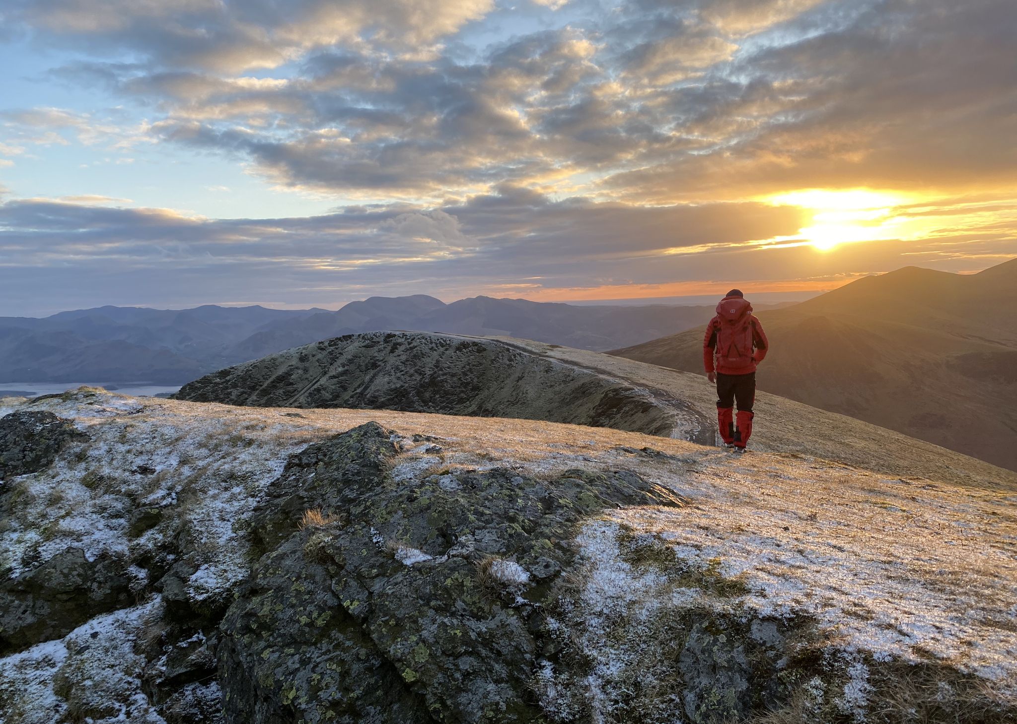
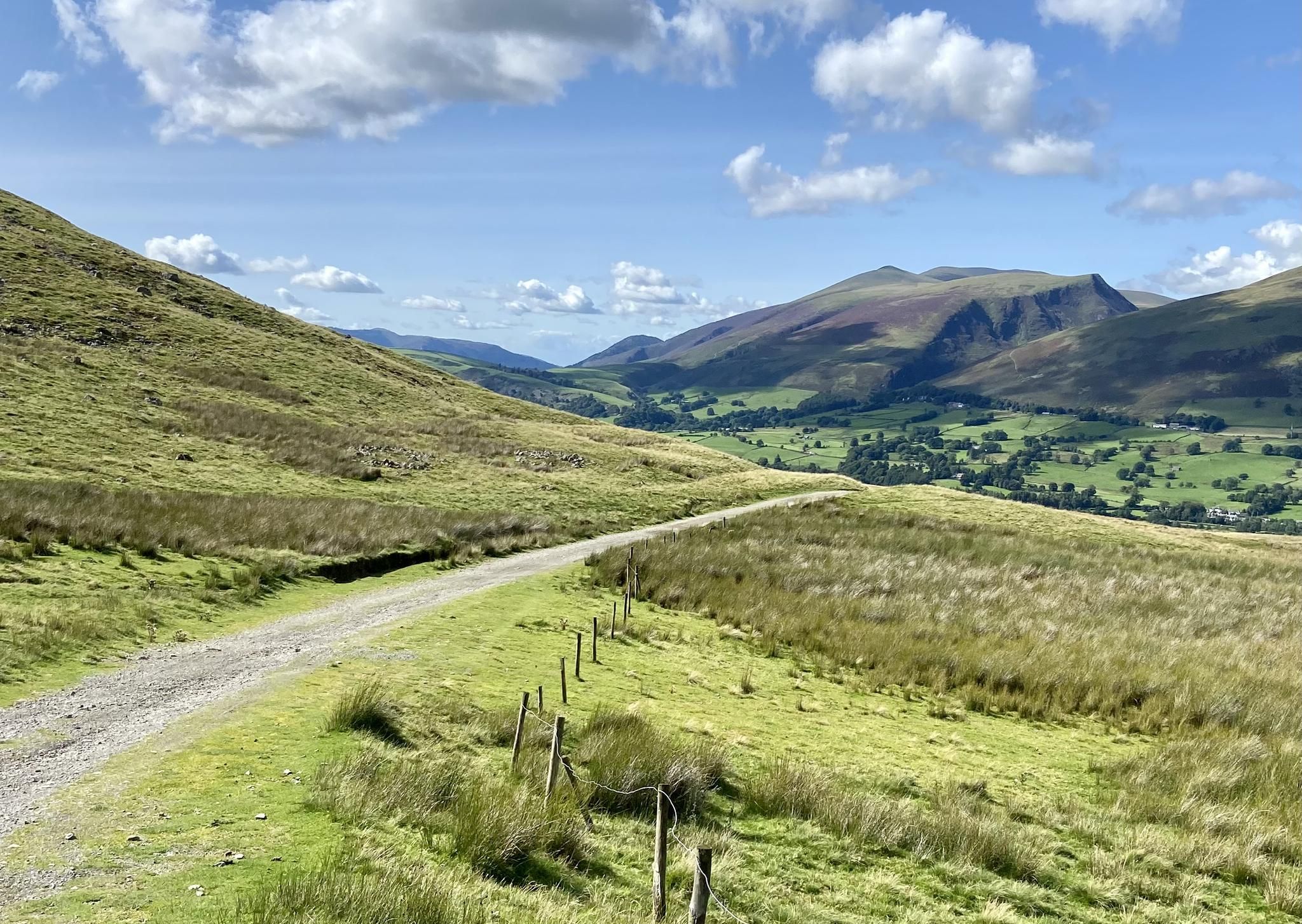


Tips from the Community

We did the loop from Hartsop over The Knott, High Street, Thornthwaite Crag and back through the Pasture Beck valley. (12 km)
0
0

Tarn Crag (664 metres or 2,178 feet) is a great little summit, especially on a sky blue day. There is a small cairn at the true summit, and then there is the marvellous "beacon". This is actually a stone survey pillar that was built in the 1930s as a sighting frame when they built the Haweswater Aqueduct. It was built in order to make sure that the underground tunnel was perfectly aligned. It is a great photo location, as there is a small photogenic pond right next to it, and the views across to Kentmere Pike are super nice.
0
0
Selside Pike, 655m (2,149ft), is a Wainwright top with a pretty smooth windswept summit, but here you have a pretty large stone windbreak shelter, which is good news. This is effectively the summit but not the true summit; that is nearby but not marked. You will get panoramic views of Haweswater and over towards Rough Crag from here. You can get to here either via Branstree or up the Old Corpse Road.
0
0
Branstree is a 713-metre (2,339 ft) Wainwright's Top fell in the Far Eastern Lake District, known for its flat, boggy summit, minute stone cairn and floor-level circular concrete trig station. It looks like the purists have had a go at the cairn because only the trig station is left. You won't get the best views from this point, but you will soon get them coming off the top down over Haweswater.
0
0
Mardale III Bell is a 760-metre (2,490 ft) Wainwright summit that sits just in between High Street and Harter Fell. It makes for a good vantage point to look down at Haweswater, and it has a small stone cairn on its broad top. It can be walked in a number of ways, including the Kentmere Horseshoe or the Mardale Loop, both excellent walks.
0
0
The trig-pointed summit of High Street is a broad, flat plateau rather than a dramatic, sharp peak or cliff edge as is common in the Lake District. It is a super good place for a rest break, as there are nearby stone walls for a windbreak. While barren, it has good views of the surrounding fells.
0
0
The trig-pointed summit of High Street is a broad, flat plateau rather than a dramatic, sharp peak or cliff edge as is common in the Lake District. It is a super good place for a rest break, as there are nearby stone walls for a windbreak. While barren, it has good views of the surrounding fells.
0
0
Kidsty Pike's small summit cairn sits on a rocky outcrop overlooking a dramatic drop down into Riggingdale Valley. This 780-metre (2,631 ft) peak provides a sharp, rocky, and dramatic Wainwright that is in close proximity to The Knott, Rampsgill Head, High Rise, and High Street, all fellow Wainwrights.
0
0
Frequently Asked Questions
How many waterfall hiking trails are there in Shap Rural?
Shap Rural offers a selection of around 9 dedicated waterfall hiking trails. These routes vary in length and difficulty, providing options for different preferences and fitness levels.
What are some of the natural features and landmarks I can explore near the waterfall trails in Shap Rural?
Beyond the captivating waterfalls, the Shap Rural area is rich in natural beauty and historical sites. You can explore stunning fells like Helvellyn and High Street, and picturesque bodies of water such as Ullswater and Haweswater. Historically, the area features sites like Shap Abbey, a 12th-century ruin, and ancient Neolithic stone circles. Many trails also offer views of prominent peaks like Wansfell Pike and Fairfield Summit.
Are there any circular waterfall hikes in Shap Rural?
Yes, many of the waterfall hikes in Shap Rural are designed as circular routes, allowing you to start and end at the same point. For example, the popular Swindale Valley Lane – Swindale Falls loop from Swindale Beck is a moderate circular trail that takes you past Swindale Falls. Another option is the Swindale Valley Lane – Swindale Falls loop from Shap Abbey, which also offers a circular experience.
What is the difficulty level of waterfall hikes in Shap Rural?
The waterfall hikes in Shap Rural cater to a range of abilities. You'll find several moderate trails, such as the Swindale Valley Lane – Swindale Falls loop. For more experienced hikers seeking a challenge, there are also difficult routes like the Branstree Summit Trig Point – Tarn Crag Summit Cairn loop, which involves significant elevation gain and mountainous terrain.
Are there family-friendly waterfall walks in Shap Rural?
While specific 'family-friendly' designations aren't always available, moderate trails with lower elevation gain are generally suitable for families. The Swindale Valley Lane – Swindale Falls loop from Swindale Beck is a moderate, relatively short route that could be a good option for families looking to enjoy the waterfalls without an overly strenuous climb.
Can I bring my dog on waterfall trails in Shap Rural?
Many trails in the Lake District and Westmorland Dales, including those around Shap Rural, are dog-friendly. However, it's always advisable to keep dogs on a lead, especially near livestock, on fells, and around sensitive wildlife areas. Be mindful of stiles and ensure your dog is capable of handling the terrain. Always carry water for your dog.
What is the best time of year to visit the waterfalls in Shap Rural?
The waterfalls in Shap Rural are beautiful year-round, but they are often at their most impressive after periods of rain, typically in autumn and spring, when water levels are higher. Summer offers more stable weather for hiking, while winter can provide a dramatic, icy landscape, though trails may be more challenging due to snow and ice.
Are there options for public transport to reach waterfall hiking trails in Shap Rural?
Public transport options in rural areas like Shap Rural can be limited. While some bus services connect larger towns, reaching specific trailheads for waterfall hikes might require a combination of bus and a significant walk, or a taxi. It's recommended to check local bus schedules in advance or consider driving for direct access to trail starting points.
Where can I find parking for waterfall hikes in Shap Rural?
Parking availability varies by trailhead. For routes like those around Swindale Beck, you may find small, informal parking areas or roadside parking. For trails starting near villages or popular attractions, designated car parks might be available. Always park responsibly, ensuring you don't block access for residents or emergency services.
What do other hikers say about the waterfall trails in Shap Rural?
The trails in Shap Rural are highly regarded by the komoot community, boasting an average rating of 4.5 stars from over 2,400 reviews. Hikers frequently praise the diverse landscapes, from rolling hills and lush valleys to the dramatic fells, and the serene beauty of the cascading waterfalls. The variety of routes, from moderate valley walks to challenging mountain ascents, is also a highlight.
What kind of terrain can I expect on waterfall hikes in Shap Rural?
The terrain on waterfall hikes in Shap Rural is quite varied. You can expect well-defined paths through valleys and along rivers, but also more rugged and uneven ground as you ascend into the fells. Some routes may involve rocky sections, muddy patches, especially after rain, and potentially steep climbs. Appropriate footwear is always recommended.
Are there any specific considerations for hiking waterfall trails in Shap Rural during winter?
Hiking waterfall trails in Shap Rural during winter requires extra preparation. Conditions can be challenging, with potential for ice and snow, especially at higher elevations. Shorter daylight hours mean you'll need to start early. Always carry appropriate winter gear, including warm layers, waterproofs, sturdy boots, and potentially microspikes or crampons for icy sections. Check weather forecasts before heading out.
Most popular routes around Shap Rural
Most popular attractions around Shap Rural

Get inspired with the komoot mobile app


Explore more
Browse the best Hikes in other regions.
