The best walks and hikes around Shap Rural
4.6
(8208)
74,340
hikers
59
hikes
Hiking trails around Shap Rural are characterized by rolling fells, open moorland, and deep valleys on the eastern edge of the Lake District National Park. The landscape features a mix of elevated terrain and lower-lying areas, often with views towards surrounding peaks. This region provides a variety of paths suitable for different hiking experiences.
Best hiking trails around Shap Rural
- The most popular hiking route is High Street summit – The Knott loop from Branstree, a 9.2 miles (14.8 km) trail that takes 5 hours 42 minutes to complete, offering significant elevation gain and expansive fell views.
- Another top favourite among local hikers is Mardale Head – Branstree Summit Trig Point loop from Branstree, a moderate 6.0 miles (9.7 km) path that explores the fells above Mardale Head.
- Local hikers also love the Mardale Head – High Street summit loop from Branstree, a 6.2 miles (10.0 km) trail leading through rugged fell terrain, often completed in about 4 hours 6 minutes.
- Hiking around Shap Rural is defined by open fells, valleys, and moorland, with routes ranging from easy paths to more challenging ascents. The network offers options for different ability levels, including family friendly hikes Shap Rural.
- The routes in Shap Rural are highly rated by the komoot community with an average score of 4.5 stars from over 2,400 reviews. More than 24,000 hikers have used komoot to explore Shap Rural's varied terrain.
Last updated: August 2, 2026
4.8
(26)
370
hikers
14.8km
05:42
870m
870m
Hard hike. Very good fitness required. Mostly accessible paths. Sure-footedness required.
4.6
(30)
327
hikers
9.33km
03:13
480m
480m
Moderate hike. Good fitness required. Easily-accessible paths. Suitable for all skill levels.

Sign up for free
5.0
(25)
302
hikers
10.0km
04:06
590m
590m
Hard hike. Good fitness required. Sure-footedness, sturdy shoes and alpine experience required.
4.6
(16)
150
hikers
16.8km
04:34
240m
250m
Moderate hike. Good fitness required. Easily-accessible paths. Suitable for all skill levels.
5.0
(13)
144
hikers
7.35km
03:00
510m
510m
Moderate hike. Good fitness required. Mostly accessible paths. Sure-footedness required.
Get access to more routes and recommendations from other explorers.
Sign up for free
Already have an account?
Our route recommendations are based on thousands of hikes, rides, and runs completed by other people on komoot.
Start today with a free account
Your next adventure awaits.
Login or Signup
Popular around Shap Rural


Tips from the Community

We did the loop from Hartsop over The Knott, High Street, Thornthwaite Crag and back through the Pasture Beck valley. (12 km)
0
0

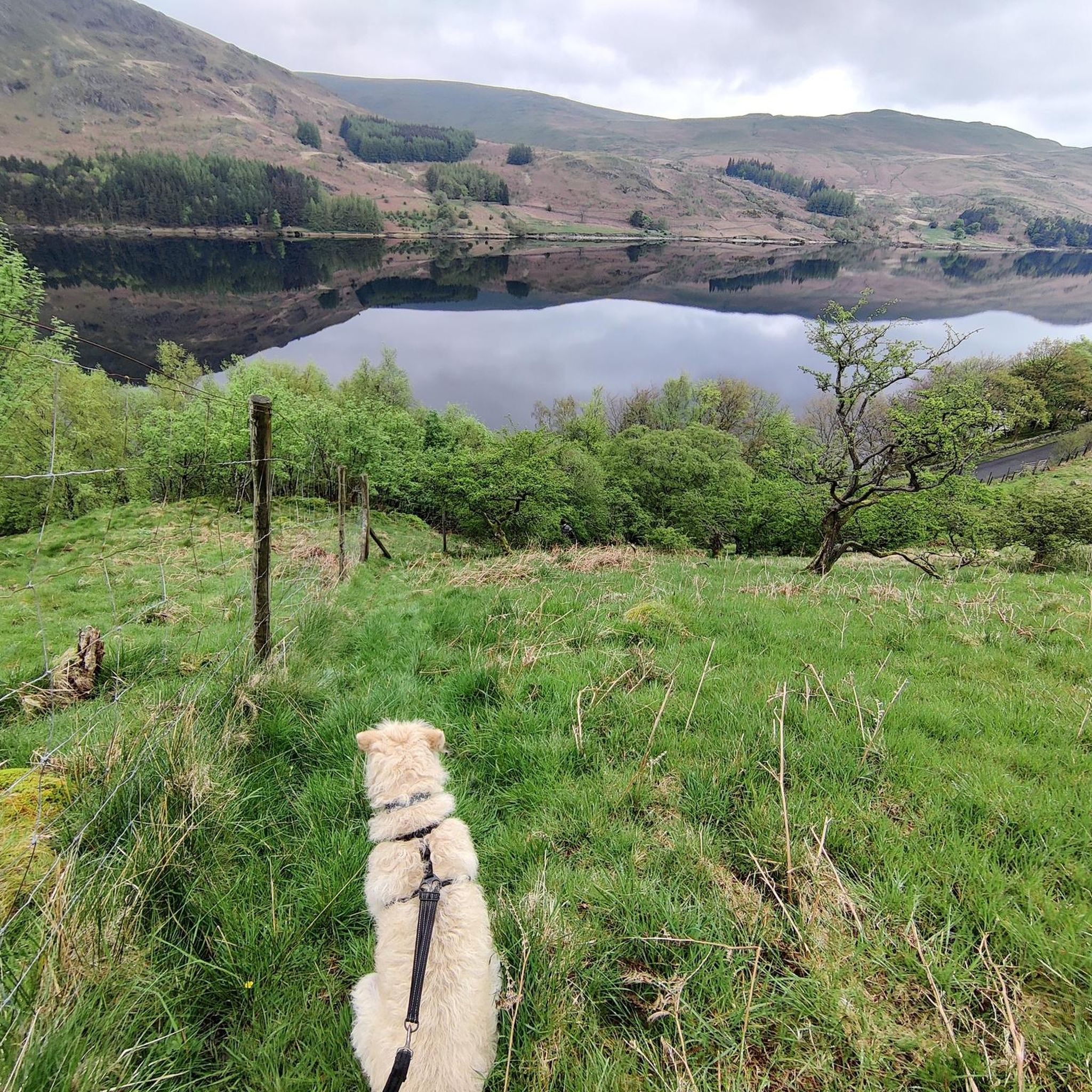
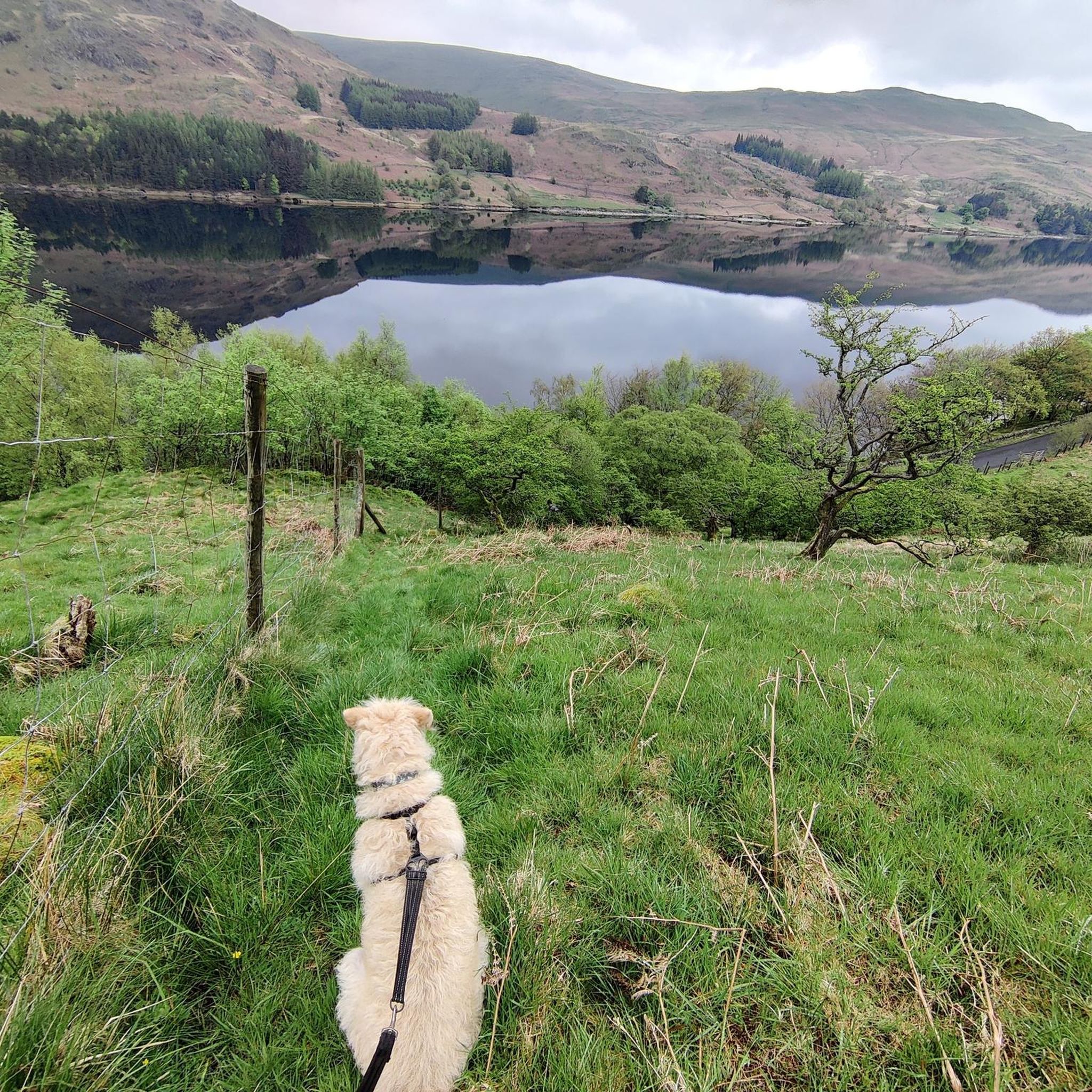
Selside Pike, 655m (2,149ft), is a Wainwright top with a pretty smooth windswept summit, but here you have a pretty large stone windbreak shelter, which is good news. This is effectively the summit but not the true summit; that is nearby but not marked. You will get panoramic views of Haweswater and over towards Rough Crag from here. You can get to here either via Branstree or up the Old Corpse Road.
0
0
Branstree is a 713-metre (2,339 ft) Wainwright's Top fell in the Far Eastern Lake District, known for its flat, boggy summit, minute stone cairn and floor-level circular concrete trig station. It looks like the purists have had a go at the cairn because only the trig station is left. You won't get the best views from this point, but you will soon get them coming off the top down over Haweswater.
0
0
Harter Fell (the Mardale one) is a 778-metre (2,552 ft) Wainwright summit that sits in between Mardale III Bell and Branstree in the Far Eastern Fells. It has a broad, smooth-topped summit which is marked with stone cairn intermixed with leftover iron fenceposts. The best way up is from Mardale Head going up Gatesgarth Pass, where you will have gorgeous scenic vistas of Haweswater Reservoir and Rough Crag to the north.
0
0
Mardale III Bell is a 760-metre (2,490 ft) Wainwright summit that sits just in between High Street and Harter Fell. It makes for a good vantage point to look down at Haweswater, and it has a small stone cairn on its broad top. It can be walked in a number of ways, including the Kentmere Horseshoe or the Mardale Loop, both excellent walks.
0
0
Rough Crag, at 628 metres, is a UK-designated Nuttall, and it is a super nice one at that. You either have to come down to it from High Street or hike up to it from Mardale Head. Either way it is a scenic wonderland with grand views of Haweswater Reservoir and the blunt, rocky east face of High Street. The views down the rocky ridge to Haweswater in particular are super good. It is also a great hike, and whilst rocky, it is still just a good steep hike. There is little exposure, but on occasions you do have to grab a handhold on the way up.
0
0
The trig-pointed summit of High Street is a broad, flat plateau rather than a dramatic, sharp peak or cliff edge as is common in the Lake District. It is a super good place for a rest break, as there are nearby stone walls for a windbreak. While barren, it has good views of the surrounding fells.
0
0
Rampsgill Head summit, at 792 metres, is an unassuming cairned Wainwright summit sitting in between two other Wainwrights, namely High Raise and The Knott. It is a pleasant, airy plateau with excellent, dramatic, steep drops into the Ramps Gill valley.
0
0
Frequently Asked Questions
How many hiking trails are available in Shap Rural?
Shap Rural offers a diverse network of over 50 hiking trails, catering to various skill levels and preferences. You'll find everything from gentle strolls to challenging fell ascents.
What do other hikers say about the trails in Shap Rural?
The hiking trails in Shap Rural are highly regarded by the komoot community, boasting an average rating of 4.5 stars from over 2,400 reviews. Hikers frequently praise the expansive views, the sense of solitude on the fells, and the varied terrain.
What is the best time of year to hike in Shap Rural?
The best time to hike in Shap Rural is generally from late spring to early autumn (May to October) when the weather is milder and the days are longer. However, the fells offer unique beauty year-round, with crisp winter days providing stunning, clear views for experienced hikers.
Are there easy hiking trails suitable for beginners in Shap Rural?
Yes, Shap Rural has several easy hiking trails, with 9 routes specifically classified as easy. These typically involve less elevation gain and shorter distances, making them ideal for beginners or those seeking a relaxed walk. An example is the Mardale Head – Haweswater Reservoir loop from Haweswater Reservoir, which offers moderate terrain but is relatively flat around the reservoir.
Can I find circular hiking routes in Shap Rural?
Many of the trails in Shap Rural are designed as circular routes, allowing you to start and finish at the same point without retracing your steps. For instance, the Mardale Head – Branstree Summit Trig Point loop from Branstree is a popular moderate circular option.
What are the typical durations for hikes in Shap Rural?
Hiking durations in Shap Rural vary significantly based on the trail's length and difficulty. Shorter, easier walks might take 1-2 hours, while more challenging routes like the High Street summit – The Knott loop from Branstree can take over 5 hours to complete.
Are the hiking trails in Shap Rural suitable for families with children?
Yes, Shap Rural offers family-friendly hiking options. Look for trails with gentler gradients and shorter distances. The area's open moorland and views can be very engaging for children, but always check the specific route details for suitability and ensure children are appropriately equipped.
Are dogs allowed on the hiking trails in Shap Rural?
Dogs are generally welcome on most public footpaths and bridleways in Shap Rural, which is part of the Lake District National Park. However, it's crucial to keep dogs on a lead, especially near livestock, and to follow the Countryside Code. Always check specific signage for any restrictions.
Where can I find parking for hiking trails in Shap Rural?
Parking is available at various points around Shap Rural, often near popular trailheads or villages. For routes starting near Mardale Head, there is a car park at the head of Haweswater. Always aim to arrive early, especially during peak season, as spaces can fill up quickly.
Are there any waterfalls to see along the hiking trails?
While Shap Rural itself is known for fells and moorland, the wider region around Shap Rural, particularly towards Ullswater, features impressive waterfalls. You can explore highlights such as Aira Force and Aira Beck Waterfalls, which are popular attractions within a short drive.
What other natural attractions can I explore near Shap Rural?
Beyond the fells, the area around Shap Rural offers stunning natural features. You can explore dramatic gorges and valleys such as Boredale Valley and Grisedale Valley, which provide different perspectives of the Lake District landscape.
Are there pubs or places to eat near the hiking routes?
Yes, the village of Shap itself offers a few traditional pubs and cafes where you can refuel after a hike. Other nearby villages and towns in the wider area also provide options for food and drink, offering a chance to experience local hospitality.
Most popular routes around Shap Rural
Most popular attractions around Shap Rural

Get inspired with the komoot mobile app


Explore more
Browse the best Hikes in other regions.
