The best road cycling routes around Shap Rural
4.8
(82)
3,739
riders
124
rides
Road cycling around Shap Rural offers routes through a landscape characterized by quiet back lanes, rolling fells, and open countryside. The region features varied terrain, including ascents to viewpoints and flatter sections alongside tarns and dams. This area provides a mix of road cycling experiences, from challenging climbs to more gentle rides on less trafficked roads.
Best road cycling routes around Shap Rural
- The most popular road cycling route is Quiet Back Lanes to Staveley – Quiet Lanes at Foulshaw…
Last updated: August 4, 2026
59
riders
120km
06:04
1,340m
1,340m
Hard road ride. Very good fitness required. Mostly well-paved surfaces and easy to ride.
5.0
(1)
28
riders
32.8km
01:47
420m
420m
Moderate road ride. Good fitness required. Mostly well-paved surfaces and easy to ride.

Sign up for free
22
riders
39.0km
01:49
420m
420m
Moderate road ride. Good fitness required. Mostly well-paved surfaces and easy to ride.
15
riders
24.5km
01:12
280m
280m
Easy road ride. Great for any fitness level. Mostly well-paved surfaces and easy to ride.
4.0
(1)
12
riders
20.7km
01:00
230m
230m
Easy road ride. Great for any fitness level. Mostly well-paved surfaces and easy to ride.
Get access to more routes and recommendations from other explorers.
Sign up for free
Already have an account?
Our route recommendations are based on thousands of hikes, rides, and runs completed by other people on komoot.
Start today with a free account
Your next adventure awaits.
Login or Signup
Popular around Shap Rural
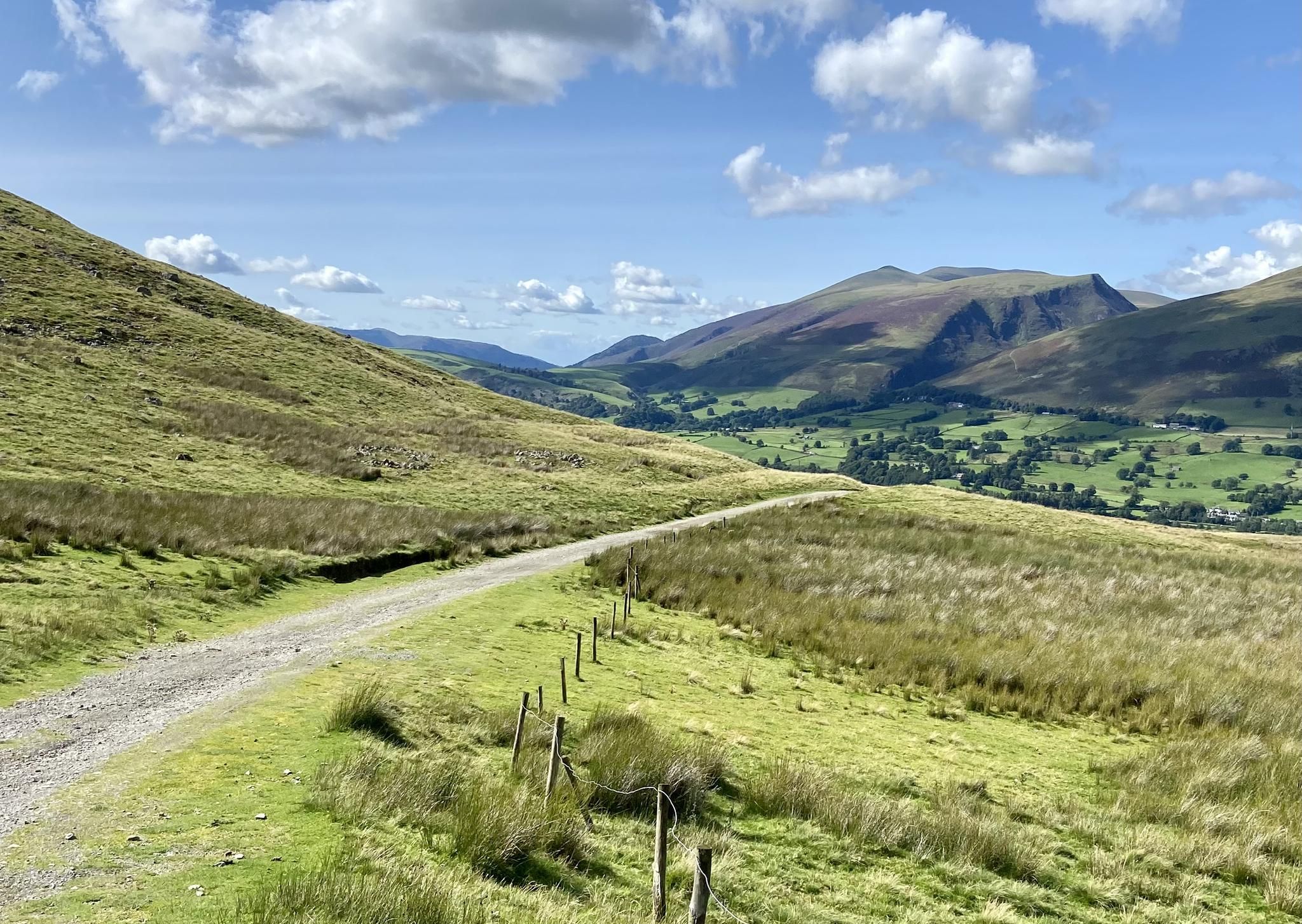
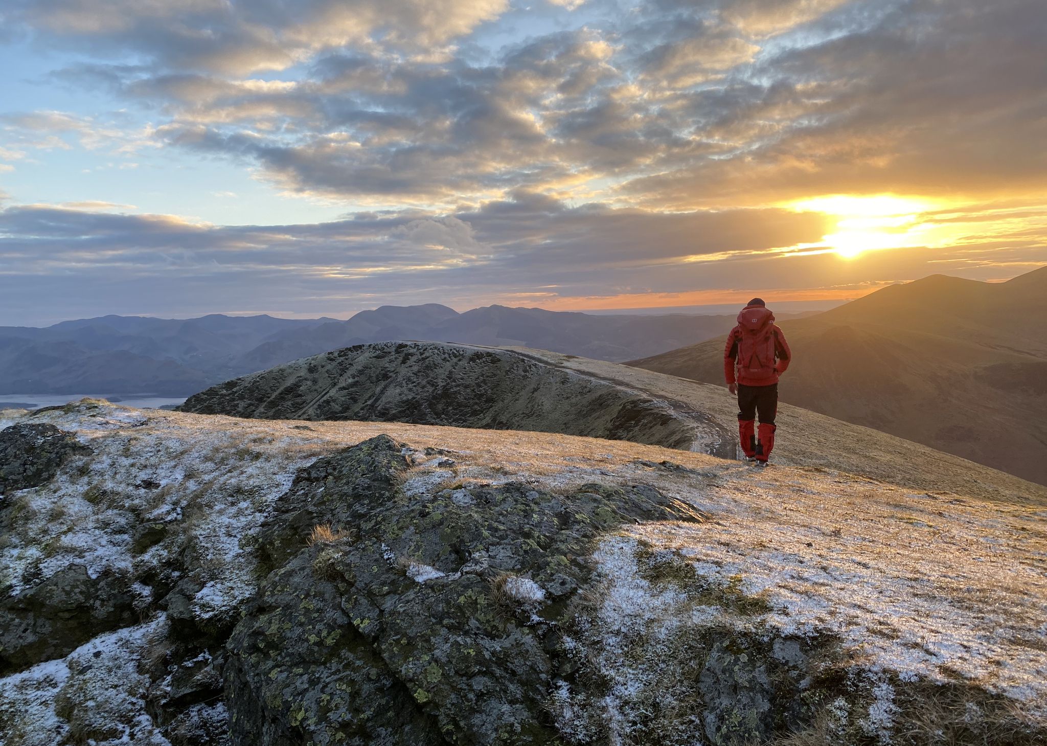
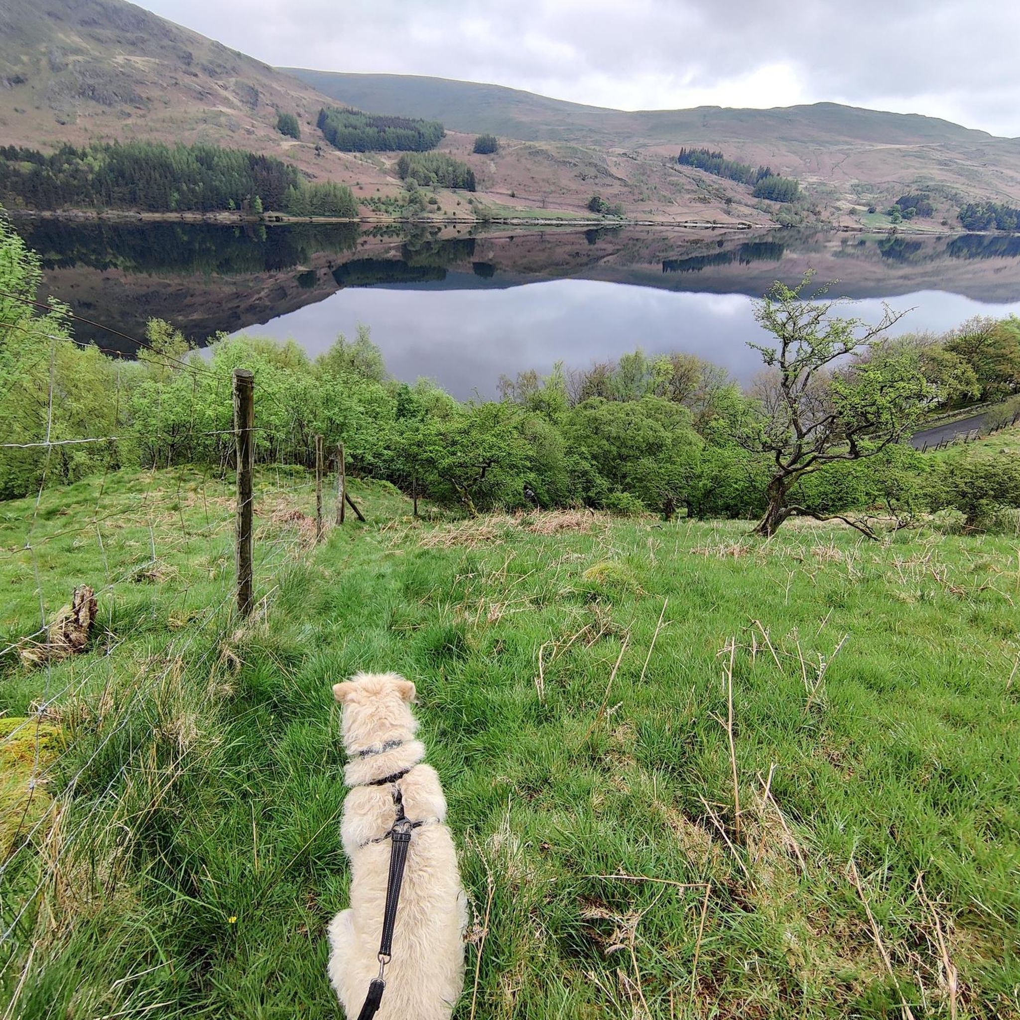
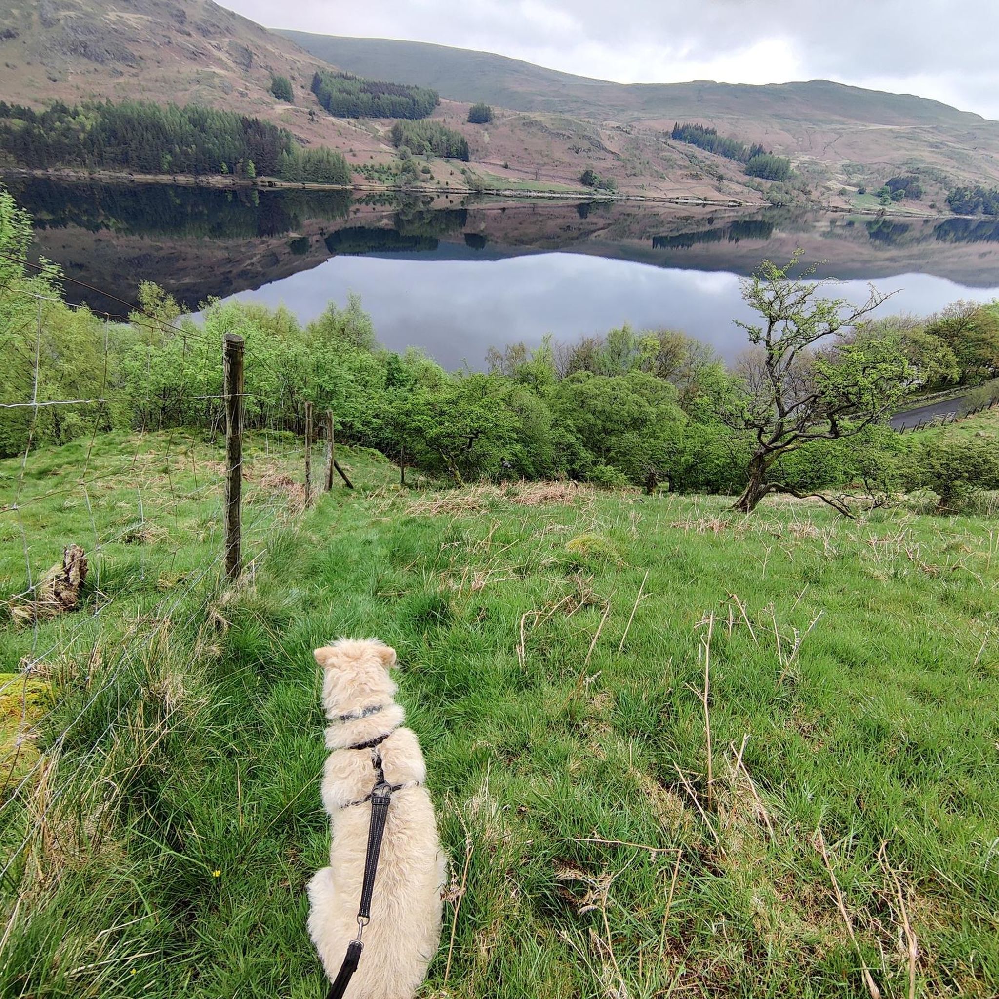


Tips from the Community

A lovely gentle ride - we went in September and it was glorious
0
0


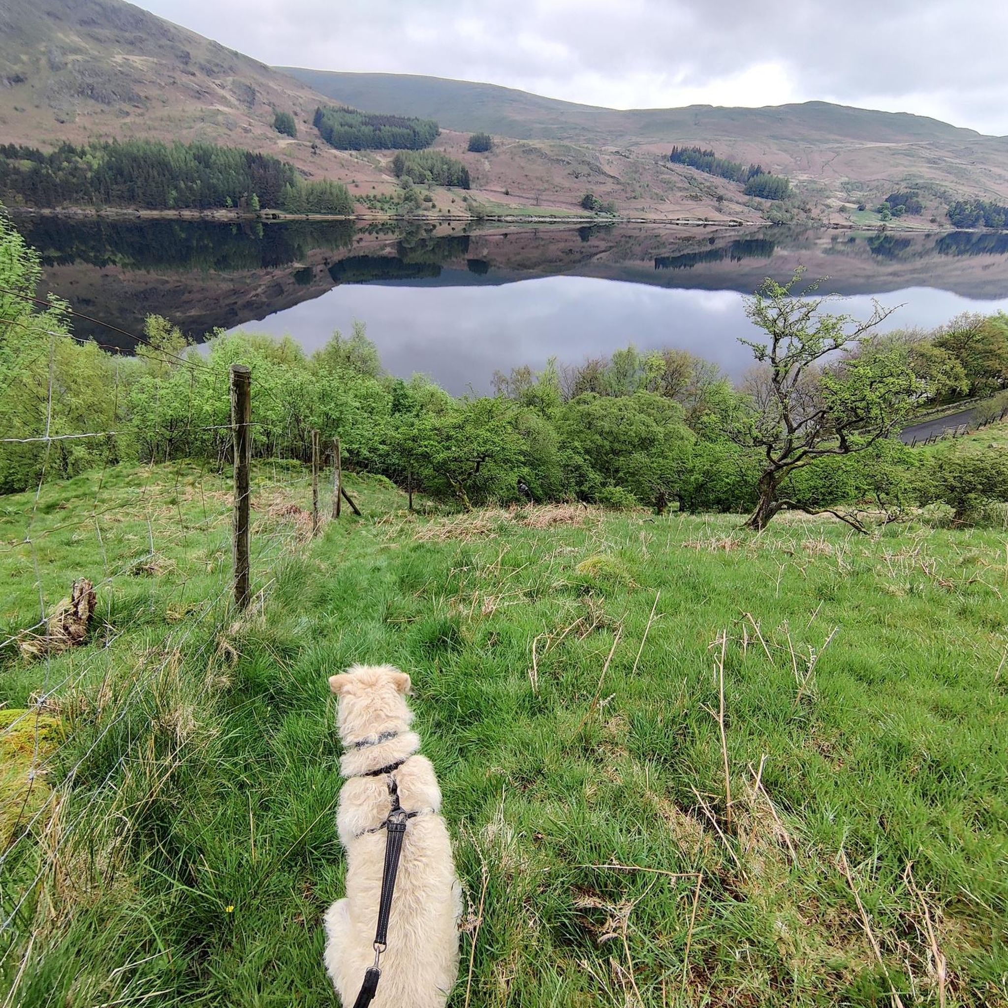
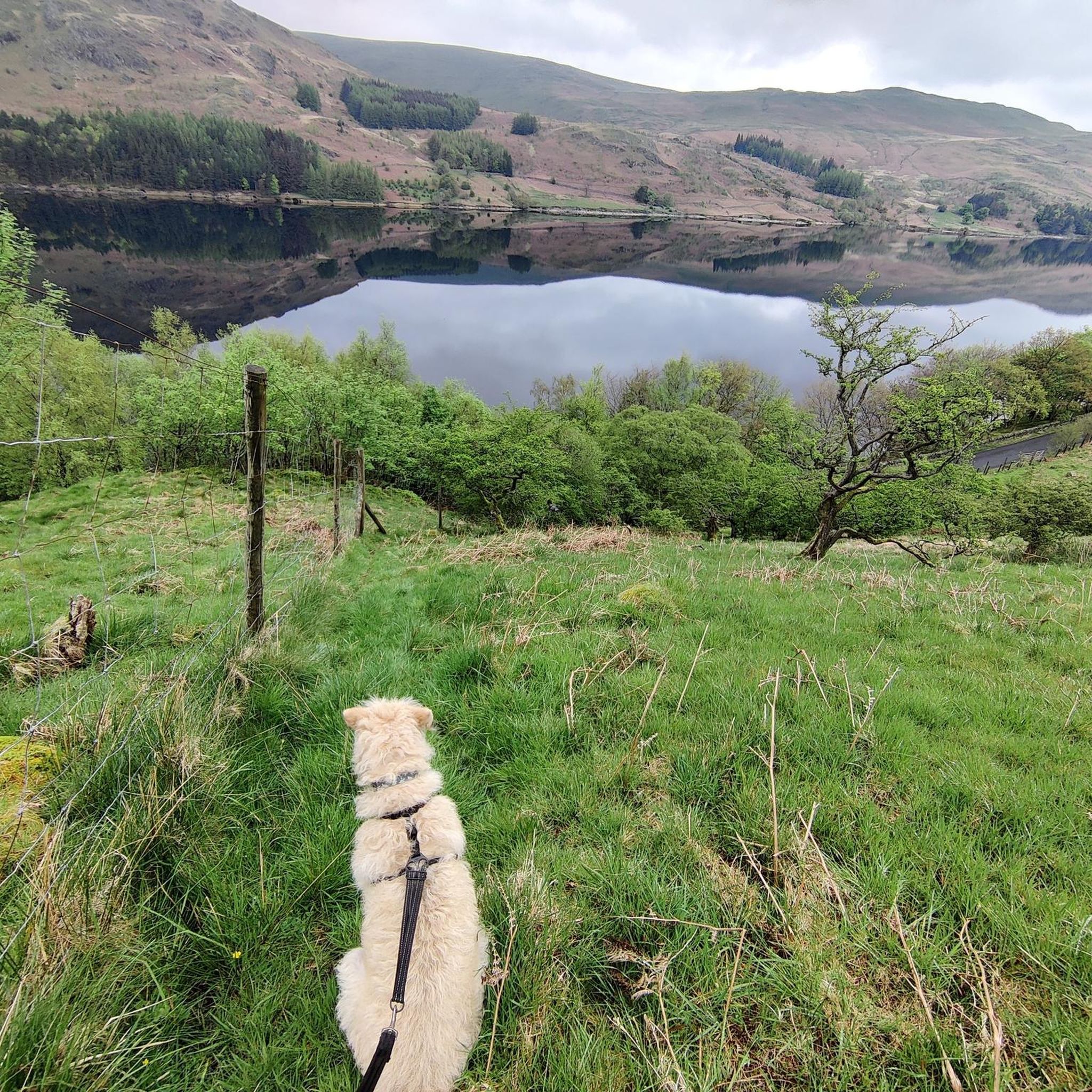
This is the view of Rough Crag on the way up to High Street. A classic Lake District ridge. Its rugged spine rises sharply above Haweswater.
0
0


Conservation is a big part of the area. RSPB and United Waters have joined forces to offers a good habitat to peregrine falcons, redstarts, and ring ouzels as a few examples of the bird-species and ensuring that the forest offers a good nesting and foraging ground for red squirrels. A donation cairn, to support the RSPB’s work at Wild Haweswater, is situated in the car park. They suggest a donation of £2, but any amount large or small is gratefully received. Please note that only cash donations can be made in the cairn as the lack of mobile phone reception means they are unable to take card payments. However, if you wish to send an online donation to support their work, you can do so here. There is also a Mountain Rescue cairn in the car park, you are kindly encourage you to support their life-saving work if you feel able to.
0
0

A good way to get up to the A6 but surface is poor in places, take care!
0
1
Surface is a bit mixed but makes for a nice alternative to the A6!
0
0
Frequently Asked Questions
How many road cycling routes are available in Shap Rural?
There are over 130 road cycling routes in Shap Rural, catering to various skill levels. You'll find 36 easy routes, 79 moderate routes, and 23 challenging options for experienced cyclists.
Are there any easy road cycling routes suitable for beginners in Shap Rural?
Yes, Shap Rural offers 36 easy road cycling routes. A good option for a more gentle ride is the Naddle Bridge – Flat Approach to Shap loop from Shap, which is 12.8 miles (20.7 km) long and leads through open countryside.
What kind of terrain can I expect on road cycling routes in Shap Rural?
Road cycling in Shap Rural is characterized by quiet back lanes, rolling fells, and open countryside. You'll encounter varied terrain, including ascents to viewpoints and flatter sections alongside tarns and dams, offering a mix of challenging climbs and more gentle rides.
Are there any challenging routes for experienced road cyclists?
Absolutely. Shap Rural has 23 difficult road cycling routes. One notable challenging option is the Quiet Back Lanes to Staveley – Quiet Lanes at Foulshaw Moss loop from Borrow Beck, a 75.4-mile (121.4 km) route with significant elevation gain.
What are some scenic viewpoints or natural attractions along the road cycling routes?
Many routes offer views of the surrounding fells and natural features. You might encounter views of Haweswater Dam, as seen on the Haweswater Dam – Mardale Head loop from Shap. The region is also close to various natural monuments and peaks, such as Fairfield Summit or Kidsty Pike, which can be seen from certain vantage points.
Are there circular road cycling routes in Shap Rural?
Yes, many of the road cycling routes in Shap Rural are designed as loops, allowing you to start and finish at the same point. Examples include the Fab's Fabulous Milk – Chippy Chippy loop from Shap and the Maulds Meaburn Climb – View of Sunbiggin Tarn loop from Shap.
What do other road cyclists enjoy most about road cycling in Shap Rural?
The area is highly rated by the komoot community, with an average score of 4.8 stars from over 70 reviews. Road cyclists often praise the quiet back lanes, the varied terrain, and the scenic views of tarns and fells that define the region.
What is the best time of year for road cycling in Shap Rural?
The best time for road cycling in Shap Rural is typically from spring through autumn (April to October) when the weather is milder and daylight hours are longer. During these months, the fells are vibrant, and the quiet lanes are generally clear of winter conditions.
What are the road conditions like for cycling in winter?
Winter conditions in Shap Rural can be challenging, with potential for ice, snow, and colder temperatures, especially on higher ground and exposed fells. Many of the quiet back lanes may also be affected by frost or standing water. It's advisable to check local weather forecasts and road conditions before planning a winter ride.
Are there places to stop for refreshments or food along the routes?
While specific cafes and pubs are not listed for every route, Shap Rural and nearby villages offer local establishments where you can find refreshments. Planning your route with potential stops in mind, especially in larger villages, is recommended.
Where can I find parking for road cycling routes in Shap Rural?
Many routes start from Shap, where public parking options are available. For routes beginning in other areas, look for designated car parks in nearby villages or trailheads. Always ensure you park responsibly and considerately.
Most popular routes around Shap Rural
Most popular attractions around Shap Rural

Get inspired with the komoot mobile app


Explore more
Browse the best Road cycling routes in other regions.
