The best gravel rides in Capilano River Regional Park
4.7
(29)
526
riders
7
rides
Gravel biking in Capilano River Regional Park offers routes through varied terrain, characterized by dense forests, river valleys, and some elevation changes. The park encompasses the deep Capilano River Canyon, featuring impressive canyon walls and the rushing whitewater of the river below. Riders can expect to navigate along the Capilano River, encountering both paved and unpaved surfaces, with designated cycling paths including the East Service Road and the path across Cleveland Dam. The region's natural features contribute to a diverse…
Last updated: May 22, 2026
5.0
(4)
51
riders
32.7km
02:06
540m
540m
Hard gravel ride. Very good fitness required. You may need to push your bike for some segments of this route.
8
riders
24.3km
01:32
340m
340m
Moderate gravel ride. Good fitness required. Mostly paved surfaces. Suitable for all skill levels.

Sign up for free
4.4
(5)
162
riders
36.7km
02:11
310m
310m
Moderate gravel ride. Good fitness required. Mostly paved surfaces. Suitable for all skill levels.
4.2
(9)
31
riders
Moderate gravel ride. Good fitness required. Mostly paved surfaces. Suitable for all skill levels.
5.0
(11)
269
riders
58.8km
03:38
770m
770m
Hard gravel ride. Very good fitness required. You may need to push your bike for some segments of this route.
Get access to more routes and recommendations from other explorers.
Sign up for free
Already have an account?
Our route recommendations are based on thousands of hikes, rides, and runs completed by other people on komoot.
Start today with a free account
Your next adventure awaits.
Login or Signup
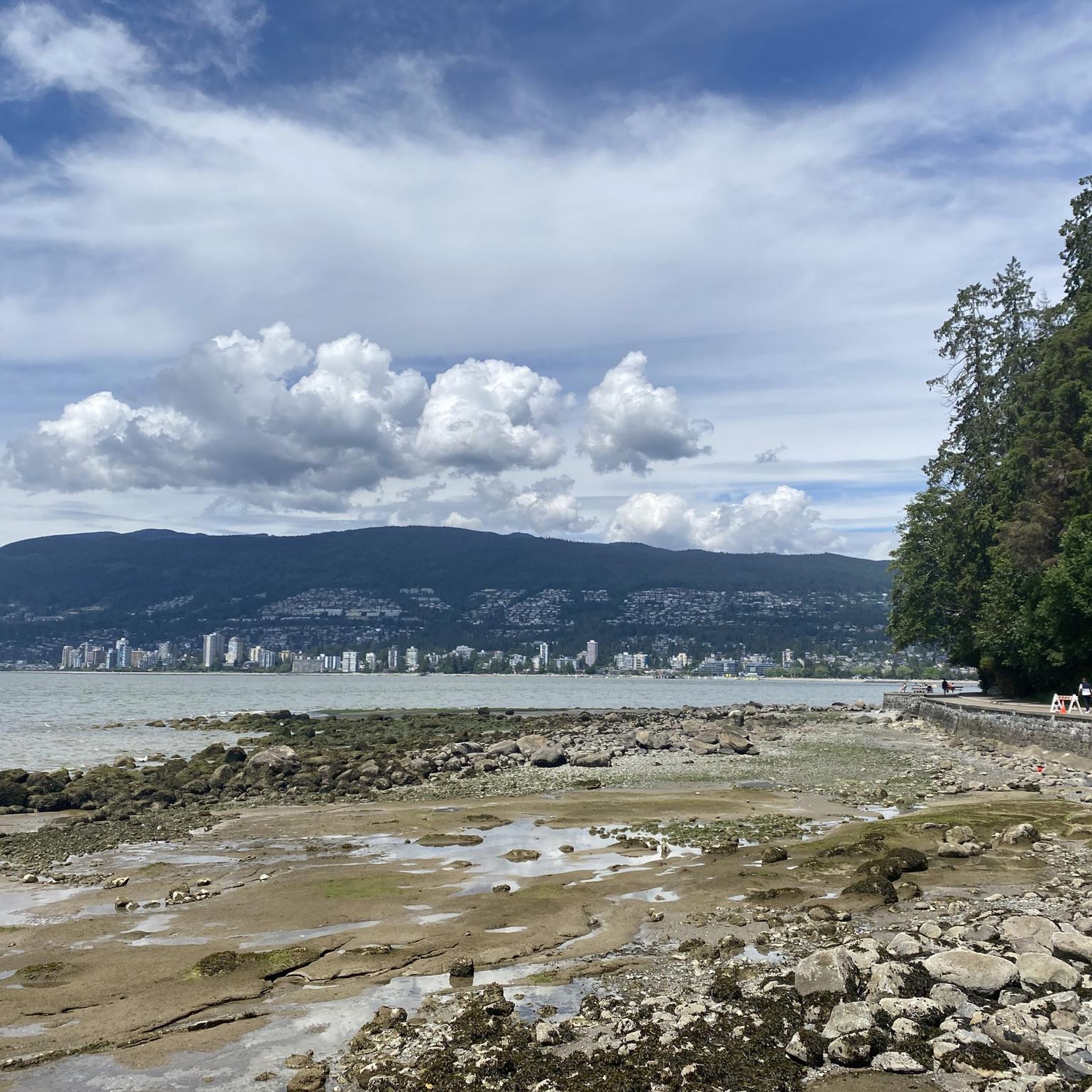
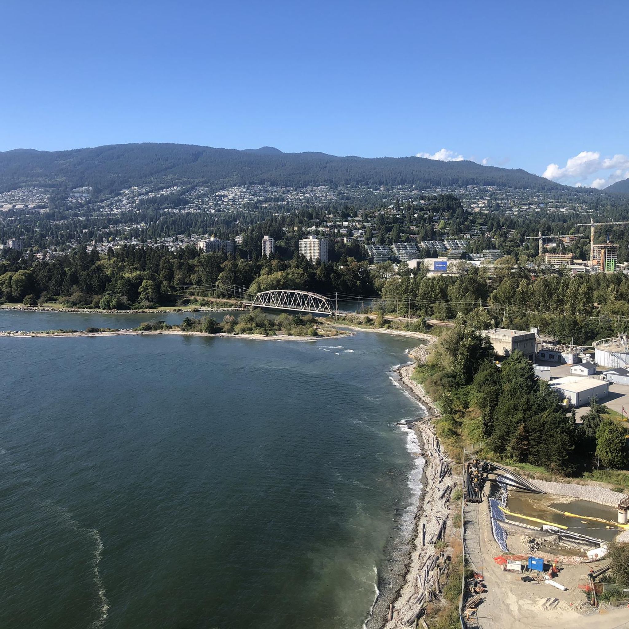
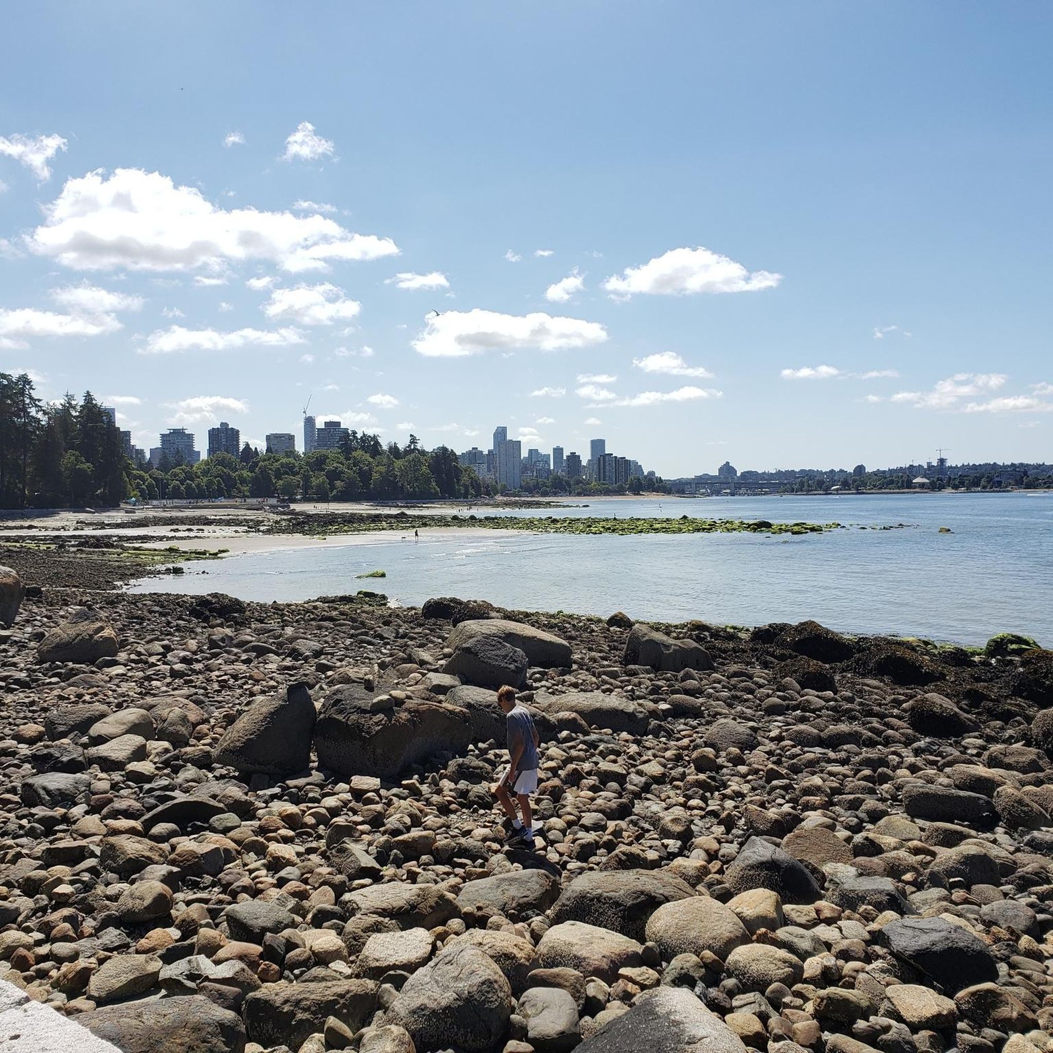
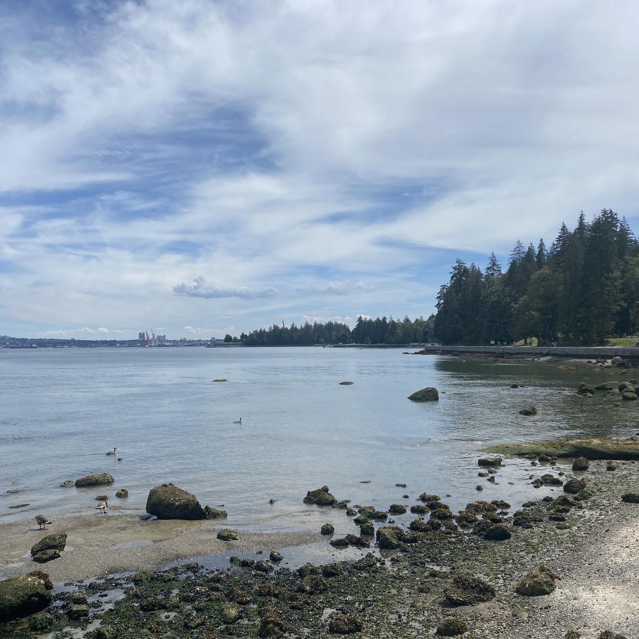
Tips from the Community

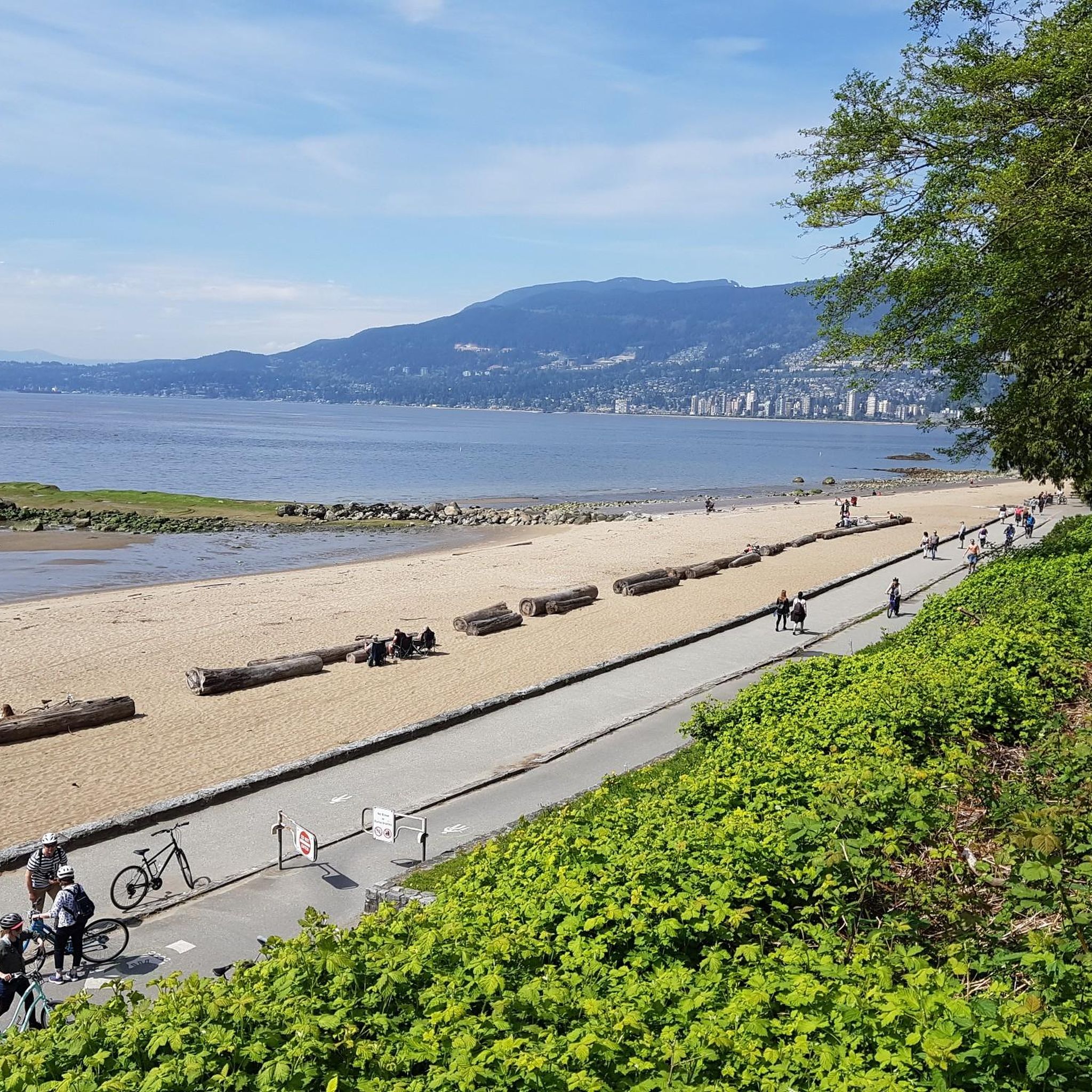
The park is a great place for you to enjoy the fresh air and the tall, shady trees that grow all around. As you walk through the park, you will notice how the thick canopy of leaves keeps the area cool and calm, even on a sunny day.
0
0

The Grand Boulevard Park Trail is a scenic multi-use path that runs through the center of Grand Boulevard Park. The trail follows a long green median lined with mature trees and open grassy areas, giving it a relaxed, park-like feel despite being in a residential neighborhood.
0
0
Ray Perrault Park is located in the Grandview–Woodland neighborhood and covers a full city block. The park features open green space, a playground, sports courts, and a splash pad that is popular with families during the summer months. It also includes a community garden, which adds to its role as a local gathering place.
0
0
Grand Boulevard Park is a long, linear park located in the North Vancouver. The park runs through the center of the historic Grand Boulevard, creating a wide green corridor that stretches several blocks through the neighborhood. It features open lawns, mature trees, and paved pathways that are popular for walking, jogging, and cycling. The park is also used for community gatherings and seasonal events.
0
0

A really beautiful place to walk.
3
0


The Seymour River Suspension Bridge was completed and opened in December 2018. This made it possible to walk the Fisherman's Trail (North) all the way through again. After the former Twin Bridges had to be demolished in 2014 following a rockslide and damming of the Seymour River, there was no longer a crossing at this point in the Lower Seymour Conservation Reserve. The Twin Bridges were originally built in 1908 to carry pipelines and were later supplemented by a parallel pedestrian bridge. Years later, the two bridges were combined to form one bridge. https://www.vancouvertrails.com/blog/seymour-river-suspension-bridge/
2
0
The Pipeline Bridge is a pedestrian bridge over Lynn Creek, offering views of the creek in the gorge. The bridge was built in 1993 and serves as one of the park entrances to Lynn Canyon Park and Rice Lake in the Lower Seymour Conservation Reserve. The bridge was built over existing pipelines. A few meters upstream is the Old Pipe Bridge, which is not open to the public.
3
0
Frequently Asked Questions
How many gravel bike trails are available in Capilano River Regional Park?
Capilano River Regional Park offers a selection of around 10 gravel bike trails, catering to various skill levels. These routes explore the diverse landscapes of the park, from riverside paths to dense forest sections.
What are the difficulty levels of gravel biking trails in Capilano River Regional Park?
The trails in Capilano River Regional Park range from moderate to difficult. You'll find 6 moderate routes, perfect for a steady ride, and 4 more challenging trails for experienced gravel bikers seeking greater elevation and longer distances.
Are there any family-friendly gravel biking options in the park?
While the park's trails are generally moderate to difficult, some sections of the moderate routes can be suitable for families with older children who are comfortable with varied terrain and some elevation changes. For a moderate loop that offers a mix of riverside paths, consider the Bridgeman Park Bridge – Owl Carving in Tree loop from North Vancouver.
What is the best season for gravel biking in Capilano River Regional Park?
Gravel biking in Capilano River Regional Park is enjoyable year-round, though spring and fall offer pleasant temperatures and vibrant scenery. Summer provides longer daylight hours, while winter rides can be beautiful but may require more attention to trail conditions due to potential rain or occasional snow.
Are there any loop routes for gravel biking in Capilano River Regional Park?
Yes, many of the gravel biking routes in the park are designed as loops. For example, the Seymour Trailway – Seymour Demonstration Forest loop from Keith-Lynn offers a challenging, extended loop through the adjacent forest, while the 3rd Street Bike Bridge – Bridgeman Park Bridge loop from North Vancouver provides a moderate option through urban and natural landscapes.
What do other gravel bikers enjoy most about Capilano River Regional Park?
The area is highly rated by the komoot community, with an average score of 4.7 stars from over 30 reviews. Reviewers often praise the diverse terrain, the blend of dense forests and river valleys, and the well-maintained paths that make for an engaging gravel biking experience.
Are dogs allowed on the gravel biking trails in Capilano River Regional Park?
Capilano River Regional Park is generally dog-friendly, but specific trail regulations may vary. It's always best to keep dogs on a leash and ensure you clean up after them to preserve the natural environment for all visitors. Check park signage for any specific restrictions on certain trails.
Where can I find parking for gravel biking in Capilano River Regional Park?
Parking is available at various access points around Capilano River Regional Park. Common starting points for routes often have designated parking lots. We recommend checking the specific tour details on komoot for the most convenient parking locations near your chosen route.
Can I reach the gravel biking trails in Capilano River Regional Park using public transport?
Yes, Capilano River Regional Park is accessible via public transport, particularly from North Vancouver. Several bus routes serve the perimeter of the park, allowing you to reach various trailheads. Plan your journey using local transit schedules to find the best connection to your starting point.
Are there any particularly scenic gravel bike trails in the park?
Many trails offer scenic views, especially those that follow the Capilano River or venture into the dense forests. For a route that combines urban and natural landscapes with scenic elements, consider the moderate Gastown Steam Clock – Adanac Bikeway loop from Stadium–Chinatown, which offers diverse sights along its path.
What are some of the longer, more challenging gravel bike routes in the area?
For those seeking a more demanding ride, the John Hendry Park – Central Valley Greenway loop from Yaletown–Roundhouse is a difficult 50.4 km route with significant elevation gain, offering an extended adventure through varied landscapes.
Most popular routes in Capilano River Regional Park

Get inspired with the komoot mobile app


Explore more
Browse the best Gravel rides in other regions.
