The best MTB trails in Capilano River Regional Park
4.5
(27)
1,634
riders
33
rides
Mountain biking in Capilano River Regional Park offers routes through a landscape characterized by a dramatic river canyon and old-growth fir and cedar trees. The area features mixed forests and rocky outcrops, with the powerful Capilano River carving through the terrain. While biking within the park has specific restrictions, adjacent areas provide popular mountain bike trails, including those connecting to other trail systems.
Best mountain bike trails in Capilano River Regional Park
- The most popular mountain bike trail is Grouse Mountain Highway – Mosquito Creek Park loop from Capilano Suspension Bridge Park, a 11.2 miles (18.0 km) trail that takes 2 hours 3 minutes to complete, featuring significant elevation gain.
- Another top favourite among local mountain bikers is Hunter Park loop from North Vancouver, a moderate 27.1 miles (43.6 km) path. This route offers varied terrain through forested areas.
- Local mountain bikers also love the View over Seymour Reservoir loop from North Vancouver, a 26.9 miles (43.3 km) trail leading through mixed forests and offering views towards the Seymour Reservoir, often completed in about 2 hours 46 minutes.
- Mountain biking in Capilano River Regional Park is defined by river canyons, old-growth forests, and rocky outcrops. The network offers options for easy, moderate, and difficult ability levels.
- The routes in Capilano River Regional Park are highly rated by the komoot community with an average score of 4.4 stars from more than 30 reviews. More than 1800 mountain bikers have used komoot to explore Capilano River Regional Park's varied terrain.
Last updated: August 28, 2026
4.8
(5)
130
riders
Hard mountain bike ride. Good fitness required. Advanced riding skills necessary. Some portions of the route may require you to push your bike.
21
riders
43.7km
03:13
560m
560m
Moderate mountain bike ride. Good fitness required. Suitable for all skill levels.

Sign up for free
18
riders
Moderate mountain bike ride. Good fitness required. Advanced riding skills necessary.
19
riders
43.9km
04:23
1,250m
1,250m
Hard mountain bike ride. Very good fitness required. Advanced riding skills necessary. Some portions of the route may require you to push your bike.
5.0
(1)
28
riders
Hard mountain bike ride. Good fitness required. Advanced riding skills necessary. Some portions of the route may require you to push your bike.
Get access to more routes and recommendations from other explorers.
Sign up for free
Already have an account?
Our route recommendations are based on thousands of hikes, rides, and runs completed by other people on komoot.
Start today with a free account
Your next adventure awaits.
Login or Signup
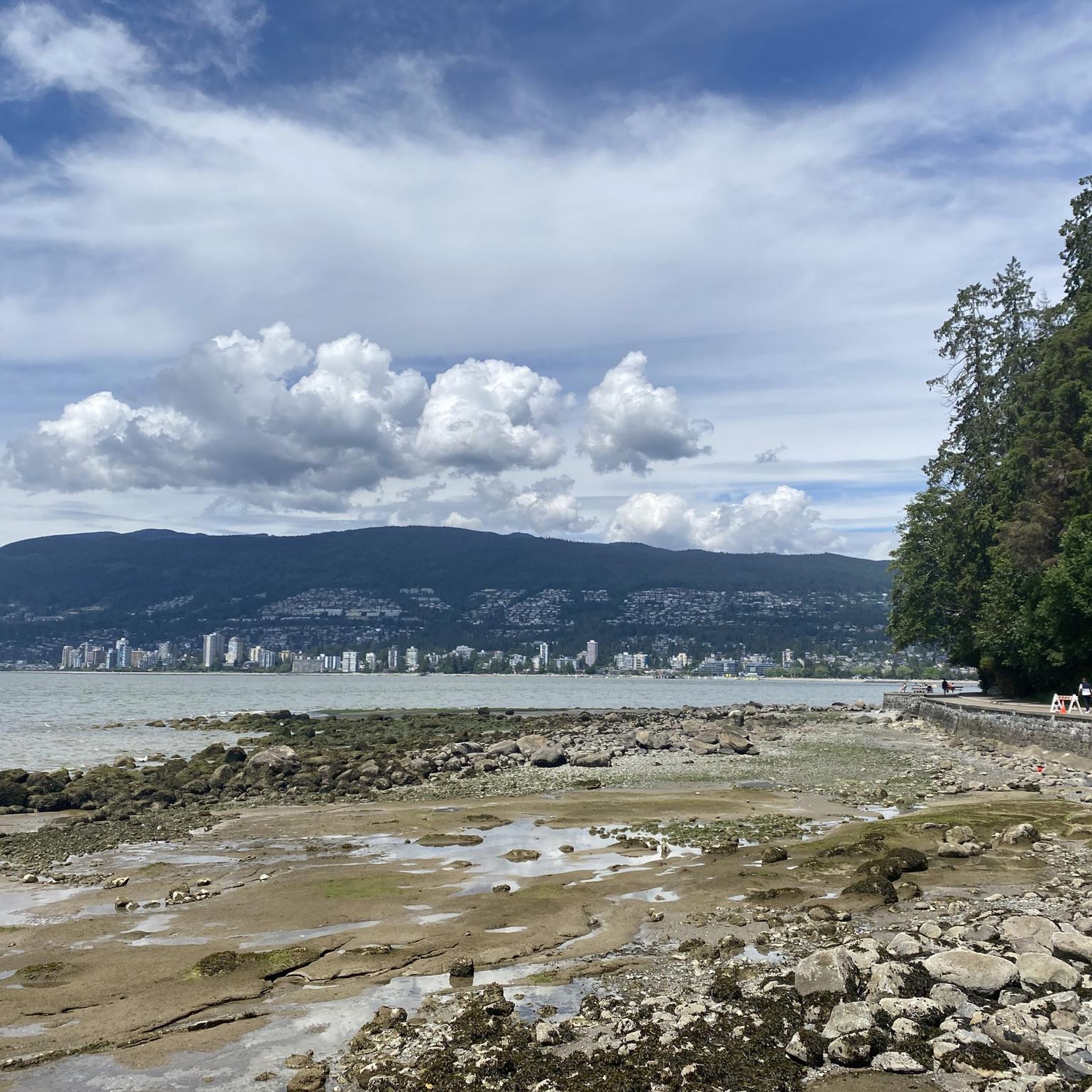
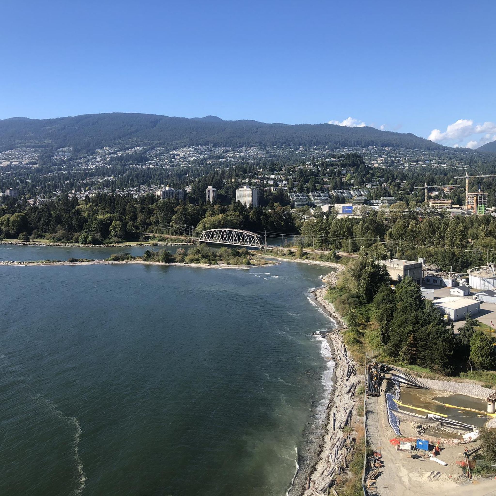
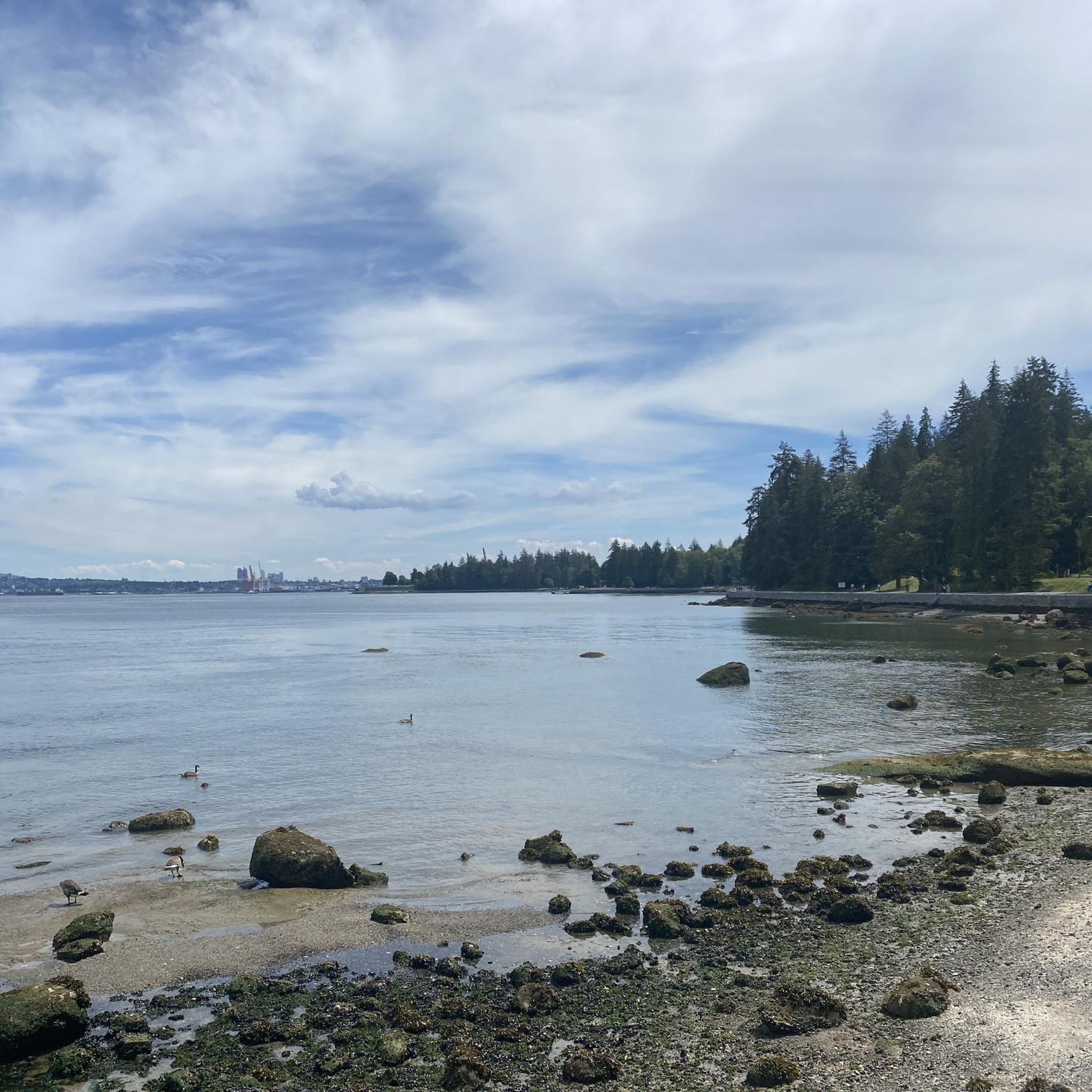
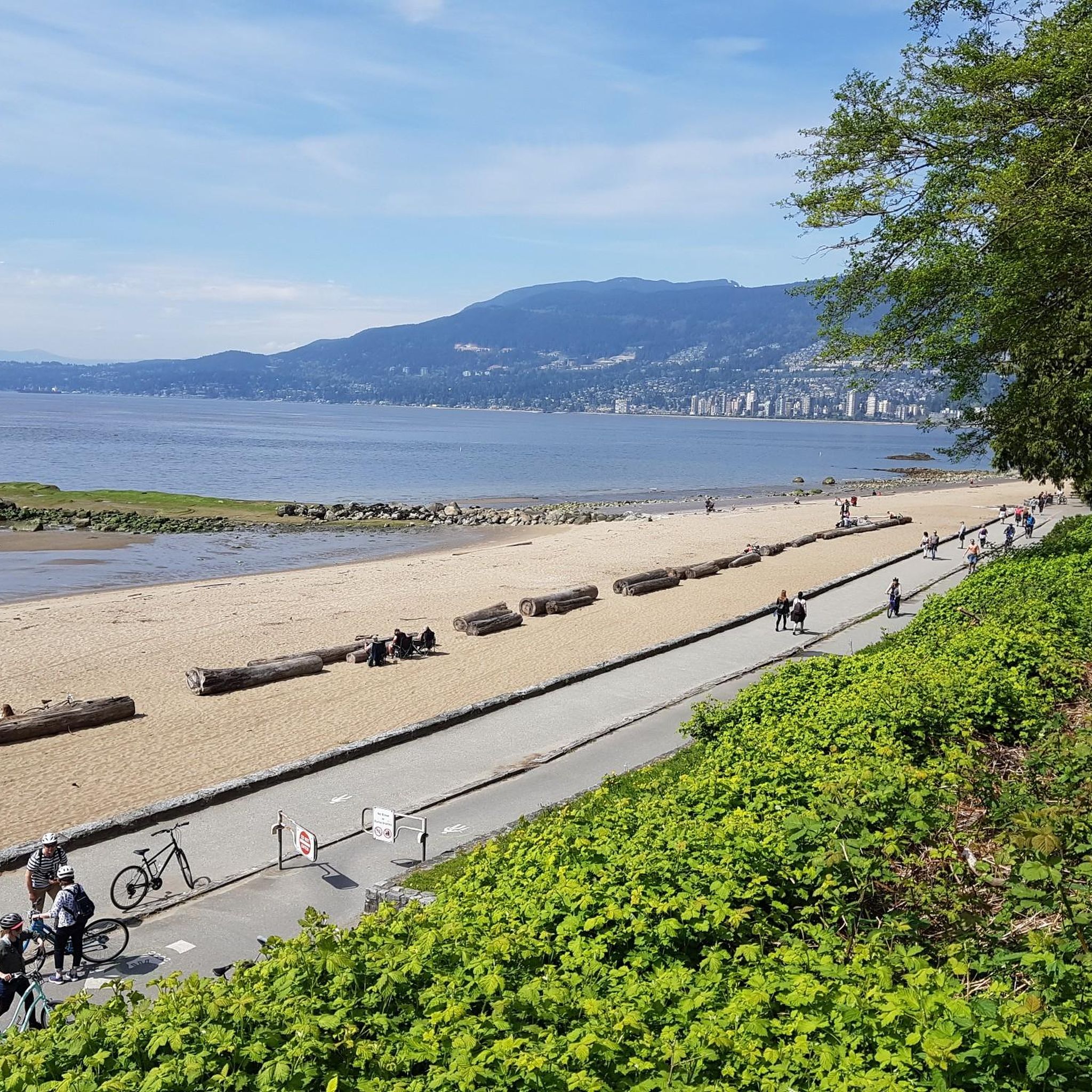
Tips from the Community

This trail treats you to a rugged, authentic Pacific Northwest experience as you weave through a dense forest of tall trees and mossy logs.
0
0

Baden Powell Trail crosses the lower slopes of Mount Fromme through a mix of forested singletrack, wooden bridges, and gently rolling terrain under tall Douglas firs and western hemlocks. This section connects neighbourhood access points with the wider North Shore trail network and steeper climbing routes higher on the mountain. Although it’s generally well maintained, some sections include roots and rocks, and it is a shared route with mountain bikers, so keep an eye out for riders passing through.
0
0
The park is a great place for you to enjoy the fresh air and the tall, shady trees that grow all around. As you walk through the park, you will notice how the thick canopy of leaves keeps the area cool and calm, even on a sunny day.
0
0

A small set of man made cascades along Mosquito Creek that can be seen just a few steps off of Mosquito Creek Trail. The falls can become quite powerful after heavy rainfall.
0
0

Ray Perrault Park is located in the Grandview–Woodland neighborhood and covers a full city block. The park features open green space, a playground, sports courts, and a splash pad that is popular with families during the summer months. It also includes a community garden, which adds to its role as a local gathering place.
0
0
Grand Boulevard Park is a long, linear park located in the North Vancouver. The park runs through the center of the historic Grand Boulevard, creating a wide green corridor that stretches several blocks through the neighborhood. It features open lawns, mature trees, and paved pathways that are popular for walking, jogging, and cycling. The park is also used for community gatherings and seasonal events.
0
0
Mosquito Creek Park is located in North Vancouver, BC. The park is known for its deciduous forest and numerous creeks.
0
0

The Seymour River Suspension Bridge was completed and opened in December 2018. This made it possible to walk the Fisherman's Trail (North) all the way through again. After the former Twin Bridges had to be demolished in 2014 following a rockslide and damming of the Seymour River, there was no longer a crossing at this point in the Lower Seymour Conservation Reserve. The Twin Bridges were originally built in 1908 to carry pipelines and were later supplemented by a parallel pedestrian bridge. Years later, the two bridges were combined to form one bridge. https://www.vancouvertrails.com/blog/seymour-river-suspension-bridge/
2
0
Frequently Asked Questions
How many mountain bike trails are available in Capilano River Regional Park and its vicinity?
There are over 40 mountain bike routes available in and around Capilano River Regional Park. These routes cater to various skill levels, with options for easy, moderate, and difficult rides.
What are the general characteristics of the mountain biking terrain in Capilano River Regional Park?
The terrain is defined by a dramatic river canyon, old-growth fir and cedar trees, mixed forests, and rocky outcrops. You'll encounter the powerful Capilano River carving through the landscape, offering a diverse and scenic riding experience.
Are there different difficulty levels for mountain biking in the Capilano River area?
Yes, the routes in this area offer a range of difficulty levels. You'll find approximately 10 easy routes, 15 moderate routes, and 19 difficult routes, ensuring options for various skill sets.
What do other mountain bikers say about the trails in Capilano River Regional Park?
The area is highly rated by the komoot community, with an average score of 4.4 stars from over 30 reviews. More than 1800 mountain bikers have explored the varied terrain, often praising the scenic beauty and diverse challenges.
Are there any notable landmarks or viewpoints along the mountain bike routes?
While mountain biking within the immediate Capilano River Regional Park is restricted to specific service roads and paths, routes in the broader area can offer views of landmarks like the Cleveland Dam and Capilano Lake. Some trails may also pass through areas with old-growth trees, offering a sense of the region's natural grandeur.
Are there any family-friendly mountain bike trails in or near Capilano River Regional Park?
While the park itself has restrictions on where cycling is permitted, generally on service roads and designated paths, some of the easier routes in the surrounding areas could be suitable for families. Always check specific trail regulations and difficulty before heading out with children.
Can I bring my dog on the mountain bike trails in Capilano River Regional Park?
Dog policies vary by specific trail and park regulations. Within Capilano River Regional Park, dogs are generally permitted on leash on designated trails and paths where cycling is allowed. Always check local signage and park rules for the specific route you plan to ride to ensure it's dog-friendly.
What is the best time of year to go mountain biking in Capilano River Regional Park?
The best time to mountain bike is typically from spring through fall when the weather is milder and trails are dry. Winter conditions can bring rain, snow, and ice, making some trails challenging or impassable. Always check current weather and trail conditions before your ride.
Are there any loop mountain bike trails available?
Yes, many routes in the Capilano River area are designed as loops. For example, the Grouse Mountain Highway – Mosquito Creek Park loop from Capilano Suspension Bridge Park is a popular option, as is the View over Seymour Reservoir loop from North Vancouver.
Where can I find parking for mountain biking near Capilano River Regional Park?
Parking is available at various access points around Capilano River Regional Park and for trails in adjacent areas. Specific parking availability can depend on the trailhead you choose. It's advisable to research parking options for your chosen route in advance.
Can I reach mountain bike trails near Capilano River Regional Park using public transport?
Yes, North Vancouver is well-served by public transport, and some trailheads in the vicinity of Capilano River Regional Park are accessible via bus routes. Planning your route with public transport in mind can help you reach starting points without a car.
What are some of the longer mountain bike routes in the area?
For those seeking longer rides, the Hunter Park loop from North Vancouver covers approximately 43.6 km, and the Severed D – Expresso Mountain Bike Trail loop from North Vancouver is around 44.6 km, offering significant distances and elevation.
Most popular routes in Capilano River Regional Park

Get inspired with the komoot mobile app


Explore more
Browse the best MTB trails in other regions.
