The best road cycling routes in Capilano River Regional Park
4.6
(133)
8,568
riders
72
rides
Road cycling routes in Capilano River Regional Park are characterized by paths alongside the Capilano River, through dense forests of Douglas-fir and cedar, and near the Cleveland Dam. The park offers designated cycling paths, including the East Service Road and sections of the Capilano Pacific Trail. These routes provide varying terrain, from riverside stretches to areas with moderate elevation changes, suitable for road bikes. The landscape features a steep canyon and the Capilano River, with some paths offering views of the river and its surroundings.
Best road cycling routes in Capilano River Regional Park
- The most popular road cycling route is The Dockyards + Lonsdale Quay loop from Capilano Suspension Bridge Park, a 30.0 miles (48.3 km) trail that takes 2 hours 21 minutes to complete. This moderate route connects to urban waterfronts, offering diverse scenery.
- Another top favourite among local road cyclists is View of English Bay – Stanley Park Drive loop from Capilano Suspension Bridge Park, a moderate 44.8 miles (72.1 km) path. This route provides extensive views of English Bay and passes through notable city parks.
- Local road cyclists also love the View of Burrard Inlet – Ambleside Park loop from North Vancouver, a 32.1 miles (51.7 km) trail leading through coastal areas and offering views of Burrard Inlet, often completed in about 2 hours 48 minutes.
- Road cycling in Capilano River Regional Park is defined by river valleys, dense forests, and views of the Cleveland Dam, with options for easy, moderate, and difficult routes. The network offers options for different ability levels, from leisurely rides to more challenging distances.
- The routes in Capilano River Regional Park are highly rated by the komoot community with an average score of 4.7 stars from over 160 reviews. More than 11,000 road cyclists have used komoot to explore Capilano River Regional Park's varied terrain.
Last updated: August 29, 2026
21
riders
Moderate road ride. Good fitness required. Mostly well-paved surfaces and easy to ride.
5.0
(3)
278
riders
50.8km
02:44
930m
930m
Hard road ride. Very good fitness required. Mostly well-paved surfaces and easy to ride.

Sign up for free
102
riders
Moderate road ride. Good fitness required. Some segments of this route may be unpaved and difficult to ride.
42
riders
30.6km
01:49
570m
570m
Moderate road ride. Good fitness required. Some segments of this route may be unpaved and difficult to ride.
16
riders
Moderate road ride. Good fitness required. Mostly well-paved surfaces and easy to ride.
Get access to more routes and recommendations from other explorers.
Sign up for free
Already have an account?
Our route recommendations are based on thousands of hikes, rides, and runs completed by other people on komoot.
Start today with a free account
Your next adventure awaits.
Login or Signup
Tips from the Community

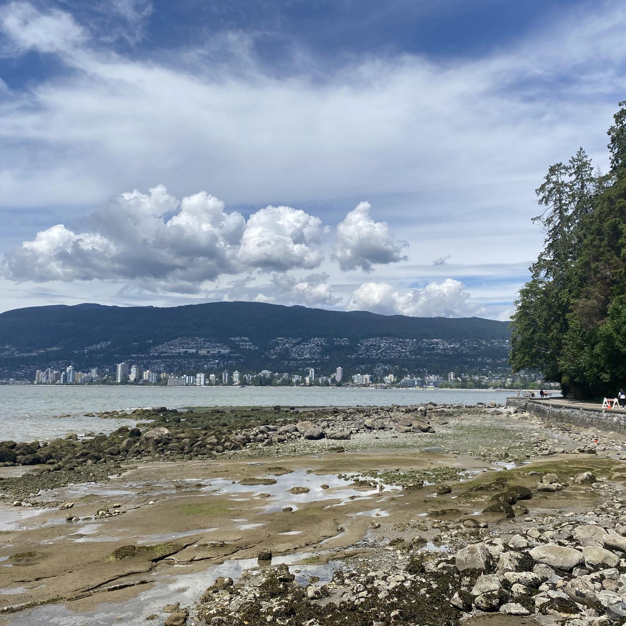
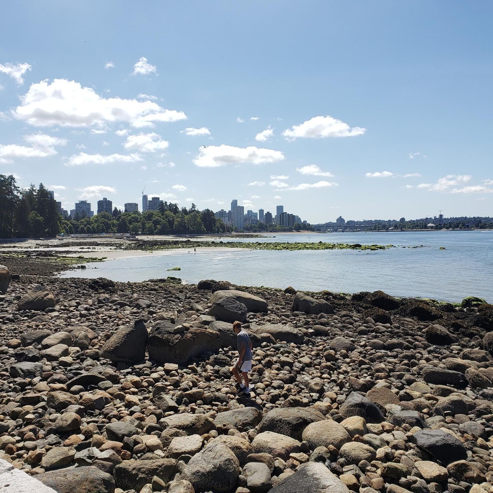
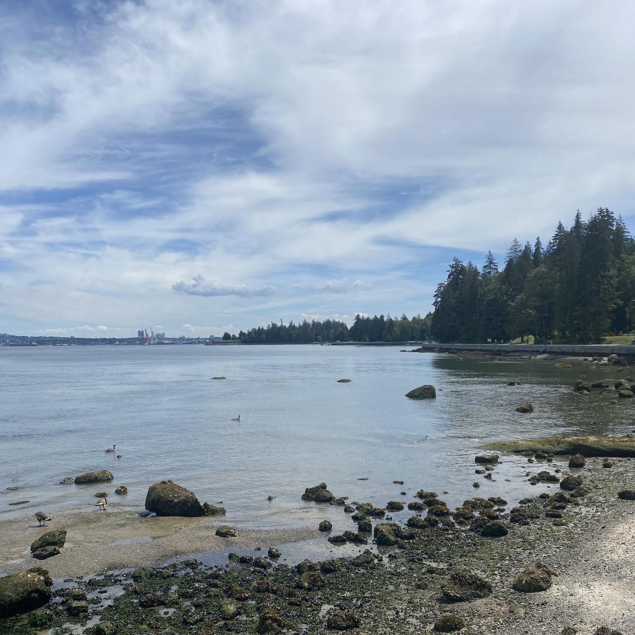
Here, the Avison Trail crosses over Stanley Park Causeway via a sidewalk on Stanley Park Drive and gives one of the best viewpoints over Lions Gate Bridge. There is an informational sign on the sidewalk about the bridge, and the viewpoints look straight down the bridge from between the forests.
1
0
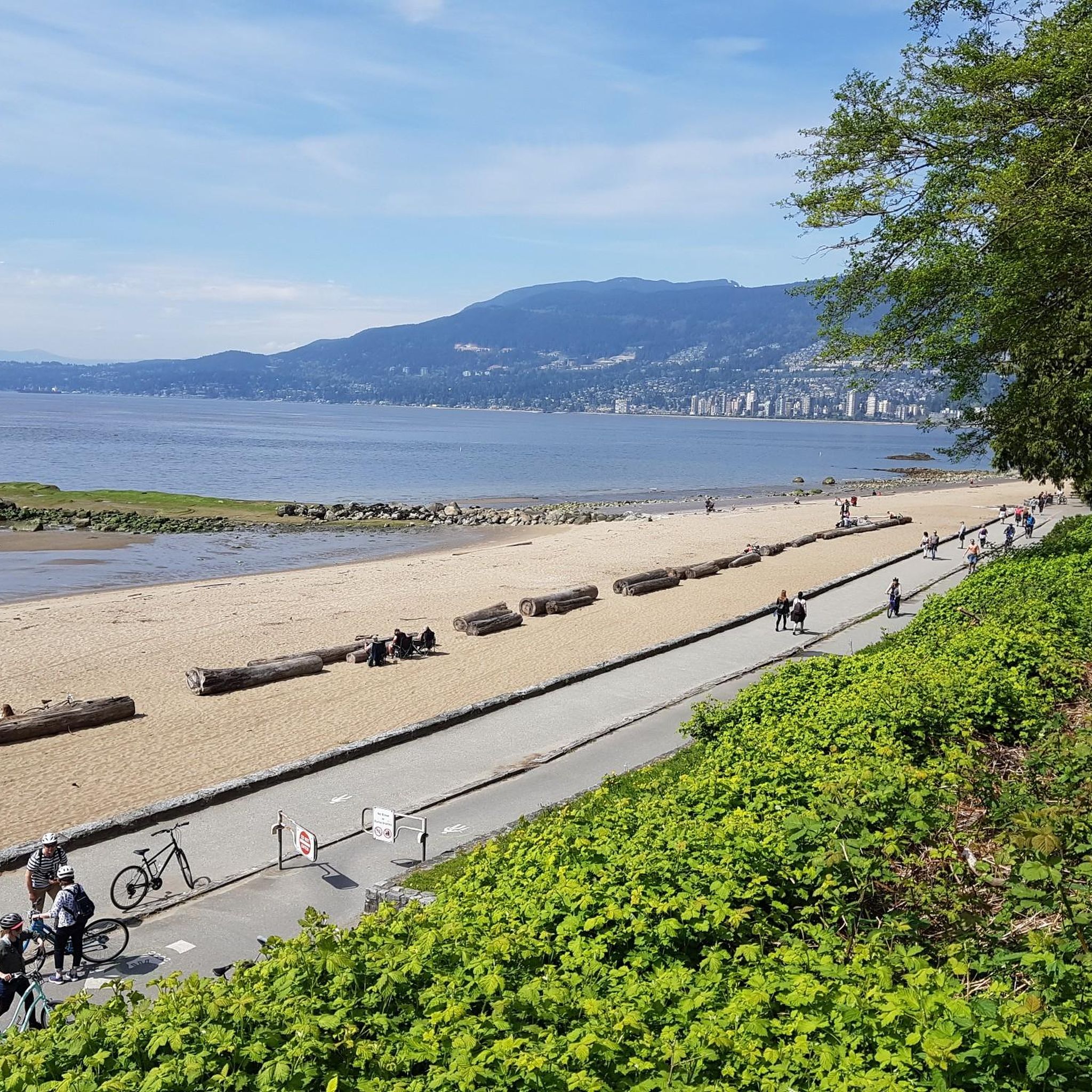
Ambleside Park is a stunning waterfront public space on the shores of Howe Sound across the water from downtown Vancouver. This path is open for walking, jogging, or biking along the park's wide seaside boardwalk, which connects to the Centennial Seawalk. Looking south, freighters and sailboats dot the waters under the Vancouver skyline. The beach is a mix of sand and pebbles, popular for sunbathing, beachcombing, and swimming. Even dogs can enjoy the park in the designated off-leash zone. The park also has golfing, baseball, and pickleball fields, plenty of activities for everyone.
1
0

Built in 1954, this dam holds back Capilano Lake. It has a pretty impressive 91-metre spillway and is responsible for a large portion of the Lower Mainland's drinking water. The dam is part of the Capilano River Regional Park.
1
0
Capilano Lake is a 270-hectare, man-made reservoir contained by the Cleveland Dam, which was built in 1954, and accounts for about 40% of Vancouver's water supply. Visitors can get stunning views of the long, narrow lake with the Lions Mountains as a backdrop from the dam.
0
0

The Robert Burns Memorial is an outdoor memorial and statue of Scottish poet Robert Burns, located in Stanley Park in Vancouver, British Columbia, Canada.
0
0

The Granville Island Public Market is located in the northern part of the peninsula. The market is open daily from 9:00 a.m. to 6:00 p.m. – until 7:00 p.m. during the summer months. The buildings of the Public Market once housed companies in the timber, mining, and shipping industries. https://granvilleisland.com/public-market https://granvilleisland.com/history/the-public-market
2
0

Frequently Asked Questions
How many road cycling routes are available in Capilano River Regional Park?
Capilano River Regional Park offers a wide selection of road cycling routes, with over 90 different tours available. These range in difficulty from easy to challenging, catering to various skill levels.
What are the typical difficulty levels for road cycling in Capilano River Regional Park?
The park features a good mix of routes for all abilities. You'll find approximately 30 easy routes for a relaxed ride, 53 moderate routes for those seeking a bit more challenge, and 9 difficult routes for experienced cyclists looking for more demanding terrain and elevation.
Are there any family-friendly road cycling options in Capilano River Regional Park?
Yes, the park offers accessible road cycling routes suitable for families. Designated paths like the East Service Road and sections of the Capilano Pacific Trail provide relatively flat and scenic options. Cyclists are advised to yield to hikers on shared paths to ensure a safe experience for everyone.
What natural features and landmarks can I see while road cycling in the park?
Road cycling routes in Capilano River Regional Park offer stunning views of the Capilano River Canyon, dense forests of Douglas-fir and cedar, and the impressive Cleveland Dam. You can also visit the free Capilano Fish Hatchery to learn about local fish and observe salmon during spawning seasons, or seek out the ancient 'Grandpa Capilano' Douglas fir tree.
What do other road cyclists enjoy most about the routes in Capilano River Regional Park?
The area is highly rated by the komoot community, with an average score of 4.7 stars from over 160 reviews. Cyclists often praise the diverse scenery, from urban waterfronts to lush forests, and the well-maintained paths that offer a blend of riverside stretches and moderate elevation changes.
Are there any circular road cycling routes in the park?
Yes, many of the road cycling routes in and around Capilano River Regional Park are designed as loops, allowing you to start and finish at the same point. For example, the The Dockyards + Lonsdale Quay loop from Capilano Suspension Bridge Park offers a diverse ride connecting to urban waterfronts.
Where can I park my car when visiting Capilano River Regional Park for cycling?
Parking is available at various access points to Capilano River Regional Park. Specific parking areas are typically located near popular trailheads and attractions like the Cleveland Dam or the Capilano Fish Hatchery, providing convenient access to the cycling paths.
Can I reach Capilano River Regional Park by public transport for cycling?
Yes, public transport options are available to reach Capilano River Regional Park. Several bus routes serve the area, allowing cyclists to access the park without a car. It's advisable to check local transit schedules for the most convenient stops near cycling access points.
What is the terrain like for road cycling in Capilano River Regional Park?
The terrain for road cycling in the park is varied. You'll find designated paths that are generally smooth, such as the East Service Road and parts of the Capilano Pacific Trail. While some sections are relatively flat, routes can also include moderate elevation changes, especially when connecting to areas outside the immediate park boundaries, like the challenging View of Burrard Inlet – Ambleside Park loop from North Vancouver.
Are there any long-distance road cycling routes starting from or passing through the park?
Absolutely. For those seeking longer rides, routes like the View of English Bay – Stanley Park Drive loop from Capilano Suspension Bridge Park extend for over 70 kilometers, offering extensive views and passing through notable city parks. Another option is the Seymour Lake Gazebo – Seymour Demonstration Forest loop from North Vancouver, which provides a substantial ride through varied landscapes.
What are the best times of year to go road cycling in Capilano River Regional Park?
Road cycling in Capilano River Regional Park is enjoyable for much of the year. Spring and fall offer pleasant temperatures and vibrant scenery. Summer provides longer daylight hours, though paths can be busier. Even in winter, many routes remain accessible, but it's always wise to check local weather conditions and trail status before heading out.
Most popular routes in Capilano River Regional Park

Get inspired with the komoot mobile app


Explore more
Browse the best Road cycling routes in other regions.
