The best running trails in Capilano River Regional Park
4.6
(157)
14,521
runners
242
runs
Jogging in Capilano River Regional Park offers a diverse landscape for runners, characterized by the deep Capilano Canyon and the flowing Capilano River. The park features extensive trails winding through lush old-growth forests, providing a natural and varied terrain. Runners can expect a mix of elevation changes, from gentle paths to more challenging ascents, making it suitable for different fitness levels.
Best jogging routes in Capilano River Regional Park
- The most popular jogging route is Vancouver Seawall – Brockton Point Lighthouse loop from Park Royal, a 8.1 miles (13.0 km) trail that takes 1 hour 23 minutes to complete. This moderate route offers scenic views along the seawall with gentle elevation gain.
- Another top favourite among local runners is Cliffwalk – Trail Closure Sign loop from Capilano Suspension Bridge Park, a difficult 11.1 miles (17.8 km) path. This challenging route features significant elevation gain through varied terrain.
- Local runners also love the Lowden’s Lookout loop from Lions Gate Bridge, a 4.2 miles (6.7 km) trail leading through forested areas, often completed in about 43 minutes.
- Jogging in Capilano River Regional Park is defined by the impressive Capilano Canyon, the Capilano River, and ancient old-growth forests. The network offers options for different ability levels, from easy loops to challenging climbs.
- The routes in Capilano River Regional Park are highly rated by the komoot community with an average score of 4.6 stars from over 100 reviews. More than 15,000 runners have used komoot to explore Capilano River Regional Park's varied terrain.
Last updated: August 23, 2026
5.0
(1)
6
runners
Moderate run. Good fitness required. Mostly paved surfaces. Suitable for all skill levels.
21
runners
Moderate run. Good fitness required. Mostly paved surfaces. Suitable for all skill levels.

Sign up for free
5.0
(1)
12
runners
Hard run. Very good fitness required. Sure-footedness, sturdy shoes and alpine experience required.
11
runners
Moderate run. Good fitness required. Mostly paved surfaces. Suitable for all skill levels.
4
runners
Moderate run. Good fitness required. Mostly paved surfaces. Suitable for all skill levels.
Get access to more routes and recommendations from other explorers.
Sign up for free
Already have an account?
Our route recommendations are based on thousands of hikes, rides, and runs completed by other people on komoot.
Start today with a free account
Your next adventure awaits.
Login or Signup
Tips from the Community

gravel road almost without traffic and almost unknown to most tourists. Very underestimated, wonderful and personally I preferred it to the Stanley Park loop for its setting and tranquility
0
0

The Baden-Powell Trail stretches 48 kilometres across the North Shore Mountains between Horseshoe Bay and Deep Cove. The trail is named after Lord Baden-Powell, who was the founder of the world Scouting Movement that set up Scouting and Guiding groups across the globe.
0
0

Brothers Creek is a mountain stream that flows through a steep, forested canyon on Vancouver’s North Shore before joining the Capilano River. Fed by rainfall and runoff from the slopes of Cypress Mountain, the creek runs through a rugged valley of dense coastal forest, creating beautiful waterfalls and rocky channels, with trails that run along its course in several areas. Its clear waters and surrounding old-growth forest provide important habitat for fish, wildlife, and native plants.
0
0

Prospect Point sits on the northernmost end of Stanley Park and is most famous for its observation decks. Paved walkways descend below the bridge where the Prospect Point Lighthouse sits on the shores of the water. There is a large Canadian flag and plenty of informational signage to read up on.
1
0
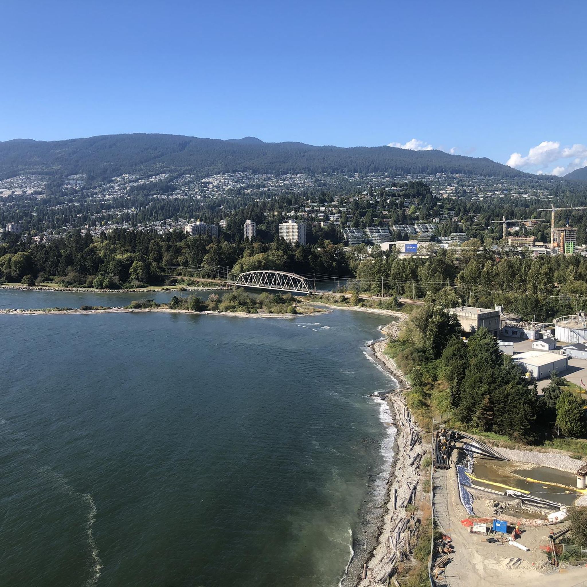
Here, the Avison Trail crosses over Stanley Park Causeway via a sidewalk on Stanley Park Drive and gives one of the best viewpoints over Lions Gate Bridge. There is an informational sign on the sidewalk about the bridge, and the viewpoints look straight down the bridge from between the forests.
1
0
The Bridle Path is a route open to hikers, horseback riders, and cyclists. It's a well-maintained and scenic winding path through thick forests, open meadows, and riverbanks. The pathway is wide and explores the heart of Stanley Park.
0
0

The Spirit Trail follows the coast of North Van, passing by the pond and sports courts here in Ambleside Park. The trail is divided into two lanes, one for hiking and slower cyclists and one for commuting cyclists.
0
0
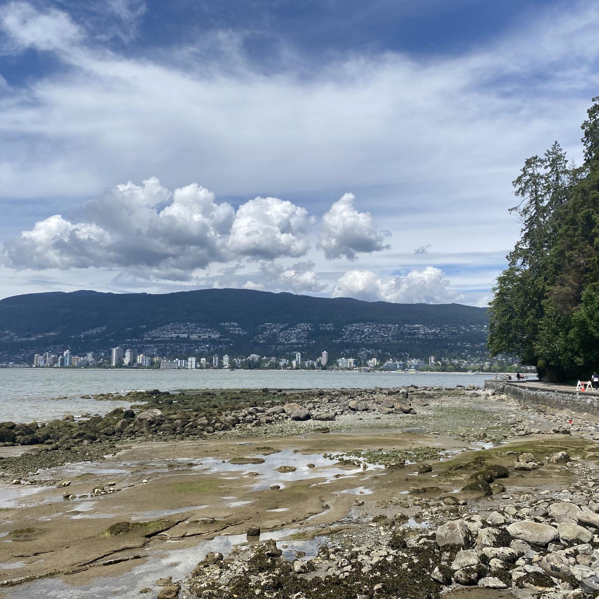
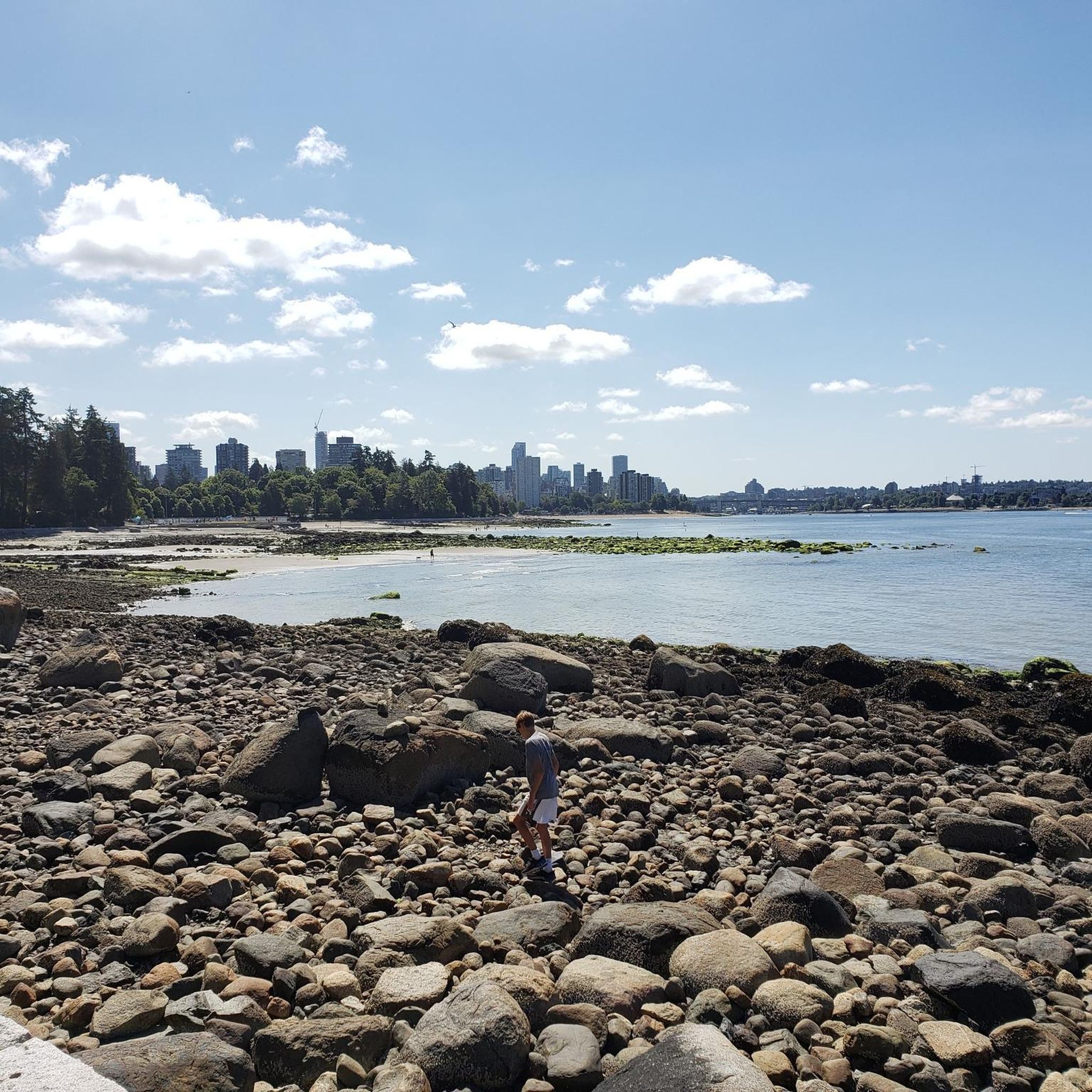
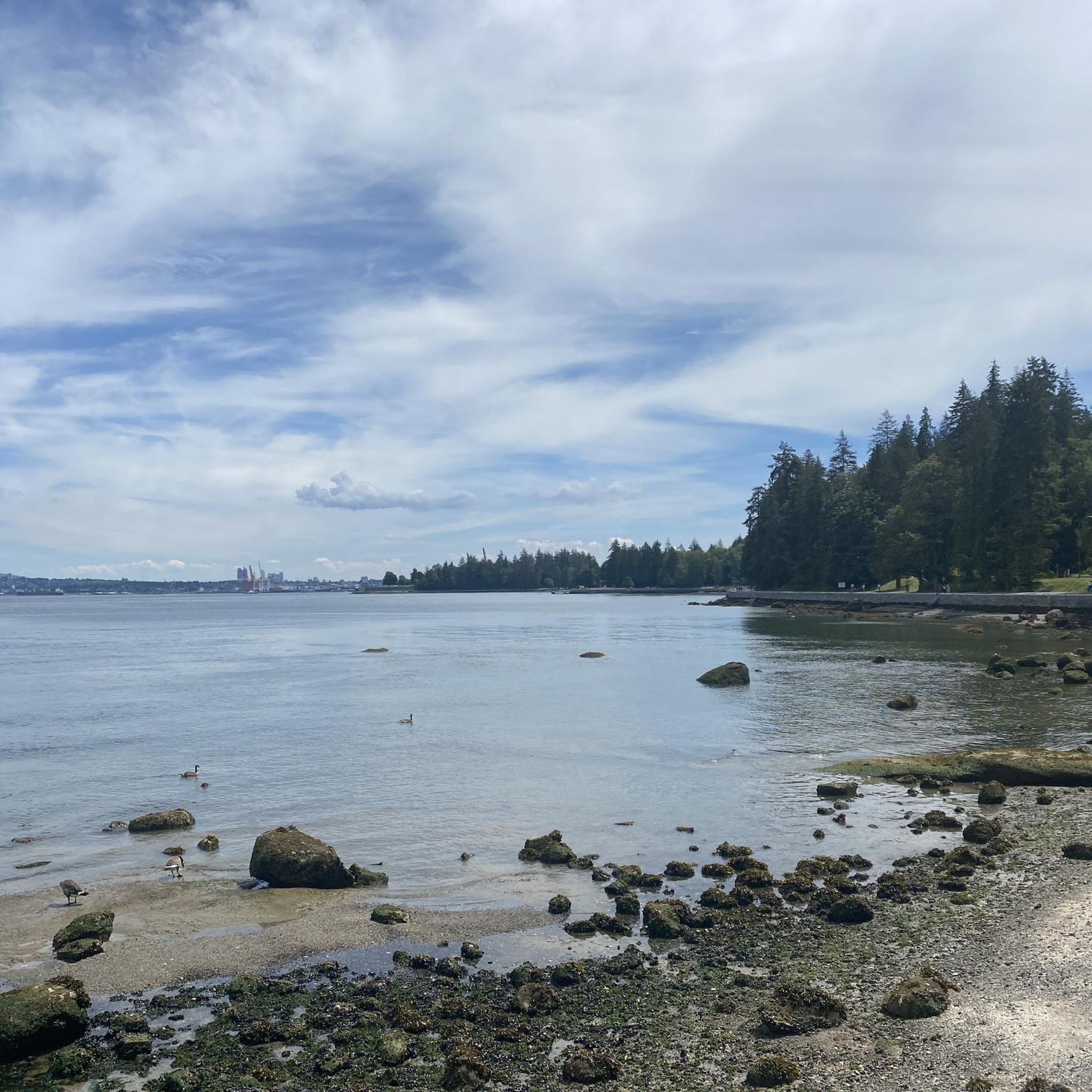
Stanley Park is a 405-hectare urban park on the peninsula at the edge of downtown Vancouver, bordered by Burrard Inlet and English Bay. It is surrounded by old-growth forest, with beaches, cultural landmarks and the popular Seawall path that circles the shoreline. The park is one of Canada’s most visited attractions and a defining natural backdrop to the city.
0
0
Frequently Asked Questions
How many running routes are available in Capilano River Regional Park?
There are over 260 running routes in Capilano River Regional Park, catering to various fitness levels. You'll find approximately 18 easy routes, 170 moderate routes, and 76 challenging options, ensuring a suitable path for every runner.
What kind of terrain can I expect on the running trails in Capilano River Regional Park?
The park offers a diverse range of terrain, from relatively flat, well-maintained paths suitable for all skill levels to more challenging trails with significant elevation gains and stairs. You'll run through lush old-growth forests, along the impressive Capilano Canyon, and beside the Capilano River, with some sections featuring paved surfaces and others natural forest floor.
Are there any easy running routes suitable for beginners or families in Capilano River Regional Park?
Yes, there are several easier options. For a relatively flat and well-maintained circuit, the Coho Loop Trail near the Salmon Hatchery is a great choice. Another moderate option is the Lowden’s Lookout loop from Lions Gate Bridge, which is 6.7 km long and leads through forested areas, often completed in about 43 minutes.
What are some challenging running routes in Capilano River Regional Park?
For those seeking a challenge, the park offers routes with significant elevation. The Cliffwalk – Trail Closure Sign loop from Capilano Suspension Bridge Park is a difficult 17.8 km path with over 930m of elevation gain. Another demanding option is the Cleveland Dam – Staircase loop from North Vancouver, covering 18.5 km with over 340m of ascent.
Are there any notable landmarks or viewpoints along the running trails?
Absolutely. The park is rich with natural features and attractions. You can run past the impressive Cleveland Dam, which holds back Capilano Lake, and enjoy views of the Lions peaks. The Capilano Canyon and River offer breathtaking vistas, and the Capilano Salmon Hatchery is a key attraction where you can learn about salmon. Trails also wind through ancient old-growth forests, including the Giant Fir Trail where you can see the 800-year-old 'Grandpa Capilano' Douglas fir.
Can I bring my dog on the running trails in Capilano River Regional Park?
Yes, Capilano River Regional Park is generally dog-friendly. Dogs are permitted on most trails, provided they are kept on a leash. Always check specific trail signage for any restrictions, especially in sensitive ecological areas or near facilities like the Salmon Hatchery.
Are there any circular running routes in the park?
Many of the running routes in Capilano River Regional Park are designed as loops, offering varied scenery without retracing your steps. Examples include the Vancouver Seawall – Brockton Point Lighthouse loop from Park Royal, a moderate 13.0 km route, and the View from Lions Gate Bridge – Lions Gate Bridge loop from Lions Gate Bridge, which is 11.0 km long.
What do other runners enjoy most about jogging in Capilano River Regional Park?
The running routes in Capilano River Regional Park are highly rated by the komoot community, with an average score of 4.6 stars from over 100 reviews. Runners often praise the diverse landscape, the stunning views of the canyon and river, and the opportunity to run through ancient old-growth forests. The variety of trail difficulties also makes it a favorite for both casual and experienced runners.
Is there parking available for runners at Capilano River Regional Park?
Yes, there are several parking areas available within and around Capilano River Regional Park. The main parking lot is typically located near the Cleveland Dam and the Capilano Salmon Hatchery. It's advisable to arrive early, especially on weekends, as parking can fill up quickly.
How can I reach Capilano River Regional Park using public transport?
Capilano River Regional Park is accessible by public transport. Several bus routes serve the area, with stops conveniently located near park entrances, including those close to the Cleveland Dam and the Capilano Salmon Hatchery. You can check TransLink's website for the most current routes and schedules.
Are there any cafes or places to get refreshments near the park after a run?
While the park itself focuses on natural experiences, there are cafes and eateries in the nearby communities of North Vancouver and West Vancouver. After your run, you can find various options for refreshments and meals just a short drive or bus ride from the park's main entrances.
What is the best time of year to go running in Capilano River Regional Park?
Capilano River Regional Park is beautiful year-round, but the best time for running is generally during the spring, summer, and fall months when the weather is milder and trails are less likely to be muddy or icy. In spring, you'll enjoy lush greenery, while fall offers vibrant foliage. Winter running is possible, but some trails may be slippery or have snow, so appropriate footwear and caution are advised.
Most popular routes in Capilano River Regional Park

Get inspired with the komoot mobile app


Explore more
Browse the best Running Trails & Routes in other regions.
