The best gravel rides in Cypress Provincial Park
5.0
(3)
16
riders
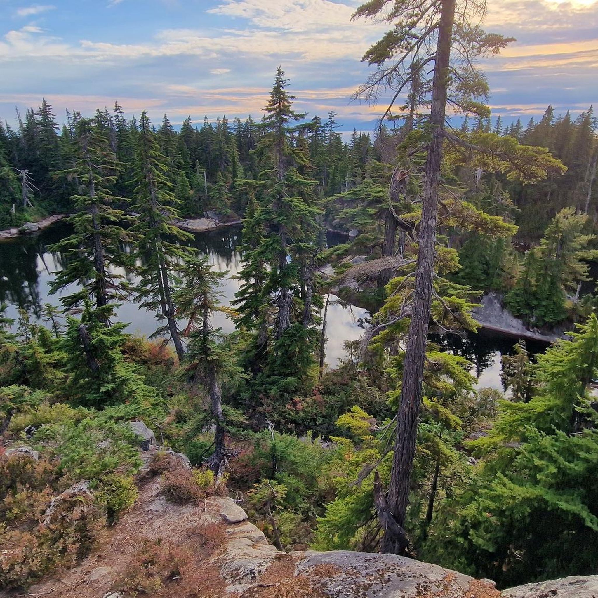
Gravel biking in Cypress Provincial Park offers routes through mountainous terrain characterized by dense old-growth forests and significant elevation changes. The park provides expansive viewpoints overlooking the Pacific Ocean and the surrounding landscape. Its trails often feature varied surfaces, from compacted dirt to gravel paths, suitable for gravel bikes. The region's geography includes numerous hills and valleys, contributing to diverse route profiles.
Best gravel bike trails in Cypress Provincial Park
- The most popular gravel bike trail is View of English…
Last updated: May 22, 2026
5.0
(3)
5
riders
18.7km
01:08
170m
170m
Moderate gravel ride. Good fitness required. Mostly paved surfaces. Suitable for all skill levels.
8
riders
24.9km
01:34
270m
270m
Moderate gravel ride. Good fitness required. Mostly paved surfaces. Suitable for all skill levels.

Sign up for free
3
riders
26.5km
01:48
430m
430m
Moderate gravel ride. Good fitness required. Mostly paved surfaces. Suitable for all skill levels.
Our route recommendations are based on thousands of hikes, rides, and runs completed by other people on komoot.
Start today with a free account
Your next adventure awaits.
Login or Signup
Tips from the Community

The landmark sits near SW Marine Drive, along the western edge of the park, and it honors the historic 1808 journey of explorer Simon Fraser and John Stuart, who traveled the great Fraser River all the way to the Pacific Ocean. From the monument area, you can look out toward the North Arm of the Fraser River and take in views of the natural landscape.
0
0

Ray Perrault Park is located in the Grandview–Woodland neighborhood and covers a full city block. The park features open green space, a playground, sports courts, and a splash pad that is popular with families during the summer months. It also includes a community garden, which adds to its role as a local gathering place.
0
0
Grand Boulevard Park is a long, linear park located in the North Vancouver. The park runs through the center of the historic Grand Boulevard, creating a wide green corridor that stretches several blocks through the neighborhood. It features open lawns, mature trees, and paved pathways that are popular for walking, jogging, and cycling. The park is also used for community gatherings and seasonal events.
0
0

A really beautiful place to walk.
3
0

The Seymour River Suspension Bridge was completed and opened in December 2018. This made it possible to walk the Fisherman's Trail (North) all the way through again. After the former Twin Bridges had to be demolished in 2014 following a rockslide and damming of the Seymour River, there was no longer a crossing at this point in the Lower Seymour Conservation Reserve. The Twin Bridges were originally built in 1908 to carry pipelines and were later supplemented by a parallel pedestrian bridge. Years later, the two bridges were combined to form one bridge. https://www.vancouvertrails.com/blog/seymour-river-suspension-bridge/
2
0
The Pipeline Bridge is a pedestrian bridge over Lynn Creek, offering views of the creek in the gorge. The bridge was built in 1993 and serves as one of the park entrances to Lynn Canyon Park and Rice Lake in the Lower Seymour Conservation Reserve. The bridge was built over existing pipelines. A few meters upstream is the Old Pipe Bridge, which is not open to the public.
3
0

This pedestrian and bicycle bridge crosses the Seymour River and is part of the region's network of trails and roads. Opened in 2018, the bridge is a modern structure designed to improve access and connectivity to surrounding natural areas, such as Lower Seymour Conservation Reserve Regional Park and Inter River Park. As well as being an attractive spot for walkers and cyclists, the bridge offers panoramic views of the river and its natural surroundings.
1
0

Although Spanish seamen had noted the Fraser estuary in 1791, when Alexander Mackenzie reached the upper Fraser in 1793 on his way to the Pacific, he thought he was on the Columbia. Simon Fraser and John Stuart of the North West Company explored the river under the same misapprehension in 1808, realizing only when they reached the sea that two great river systems drained the north Pacific slope. Although the Fraser was not throughout its course a practical canoe route, the Hudson's Bay company integrated it into a new supply system when forced in 1848 to abandon the Columbia.
0
0
Frequently Asked Questions
What is the typical difficulty level for gravel bike trails in Cypress Provincial Park?
The gravel bike routes in Cypress Provincial Park generally feature moderate difficulty. They often include varied terrain with significant elevation changes, suitable for riders with some experience. For example, routes like View of English Bay – Jericho Beach Park loop from West Point Grey and View of English Bay – Spanish Banks loop from West Point Grey are rated as moderate.
Are there any loop gravel bike trails available in Cypress Provincial Park?
Yes, Cypress Provincial Park offers several excellent loop gravel bike trails. These routes allow you to start and finish at the same point, providing a convenient riding experience. Examples include the View of English Bay – Jericho Beach Park loop from West Point Grey and the Bridgeman Park Bridge – Owl Carving in Tree loop from North Vancouver.
What is the average length of gravel bike routes in Cypress Provincial Park?
The gravel bike routes in Cypress Provincial Park vary in length, typically ranging from 11 to 16 miles (18 to 26 km). For instance, the View of English Bay – Jericho Beach Park loop from West Point Grey is 11.7 miles (18.8 km), while the Bridgeman Park Bridge – Owl Carving in Tree loop from North Vancouver extends to 16.2 miles (26.1 km).
Where can I park when gravel biking in Cypress Provincial Park?
Cypress Provincial Park has designated parking areas, particularly near popular trailheads and access points. It's advisable to check specific route descriptions on komoot for detailed parking information relevant to your chosen gravel bike trail.
Are the gravel bike trails in Cypress Provincial Park suitable for families?
While the park's terrain is mountainous with significant elevation changes, some sections or shorter routes might be suitable for families with older, experienced children. However, many routes are rated moderate, so it's best to review the specific trail details, including distance and elevation, before heading out with younger family members.
What is the best season for gravel biking in Cypress Provincial Park?
The best seasons for gravel biking in Cypress Provincial Park are typically spring, summer, and fall. During these months, the weather is generally milder, and trails are more accessible. Winter can bring snow and ice, making many routes challenging or impassable for gravel biking.
Can I go gravel biking in Cypress Provincial Park during winter?
Gravel biking in Cypress Provincial Park during winter can be challenging due to snow and ice, especially at higher elevations. While some lower-elevation routes might remain rideable, conditions can change rapidly. It's crucial to check current weather and trail conditions before attempting a winter ride and to be prepared for cold weather and potential snow.
What kind of views can I expect on the gravel bike trails in Cypress Provincial Park?
Gravel bike trails in Cypress Provincial Park offer expansive viewpoints overlooking the Pacific Ocean, English Bay, and the surrounding Vancouver landscape. You'll also ride through dense old-growth forests and mountainous terrain. Highlights like Bowen Lookout and Eagle Bluffs Viewpoint provide stunning vistas.
Are there any interesting landmarks or attractions to see along the gravel bike routes?
Yes, Cypress Provincial Park offers several interesting natural and man-made attractions. You can visit viewpoints like Bowen Lookout and Eagle Bluffs Viewpoint, or explore Yew Lake. The area also features unique elements like Olympics monuments and diverse Alpine Flora.
Is it possible to spot wildlife while gravel biking in Cypress Provincial Park?
Cypress Provincial Park is home to various wildlife due to its dense forests and natural habitats. While riding, you might encounter deer, squirrels, and a variety of bird species. Keep an eye out, especially during quieter times of the day, but remember to maintain a respectful distance and not disturb the animals.
What do other gravel bikers enjoy about the routes in Cypress Provincial Park?
The gravel biking routes in Cypress Provincial Park are highly rated by the komoot community, with an average score of 5.0 stars from 5 reviews. Riders often praise the challenging yet rewarding mountainous terrain, the beauty of the old-growth forests, and the spectacular coastal viewpoints overlooking the Pacific Ocean and Vancouver.
Most popular routes in Cypress Provincial Park
Most popular attractions in Cypress Provincial Park

Get inspired with the komoot mobile app


Explore more
Browse the best Gravel rides in other regions.
