The best road cycling routes in Cypress Provincial Park
4.9
(43)
2,786
riders
18
rides
Road cycling in Cypress Provincial Park is characterized by challenging climbs and scenic switchbacks on paved roads. The region features significant elevation gains, leading through dense forests and past majestic mountains. Riders can expect varied terrain, from lower slopes to higher elevations, with panoramic views of Vancouver, Howe Sound, and the Gulf Islands. This area, encompassing Mount Strachan, Black Mountain, and Hollyburn Mountain, provides a demanding yet rewarding cycling experience.
Best road cycling routes in Cypress Provincial Park
- The most…
Last updated: July 5, 2026
17
riders
Easy road ride. Great for any fitness level. Mostly well-paved surfaces and easy to ride.
4.5
(2)
269
riders
75.3km
03:29
770m
770m
Moderate road ride. Good fitness required. Some segments of this route may be unpaved and difficult to ride.

Sign up for free
9
riders
Moderate road ride. Good fitness required. Mostly well-paved surfaces and easy to ride.
4.6
(18)
1,089
riders
34.6km
01:39
280m
280m
Easy road ride. Great for any fitness level. Mostly well-paved surfaces and easy to ride.
21
riders
Moderate road ride. Good fitness required. Mostly well-paved surfaces and easy to ride.
Get access to more routes and recommendations from other explorers.
Sign up for free
Already have an account?
Our route recommendations are based on thousands of hikes, rides, and runs completed by other people on komoot.
Start today with a free account
Your next adventure awaits.
Login or Signup
Popular around Cypress Provincial Park
Tips from the Community

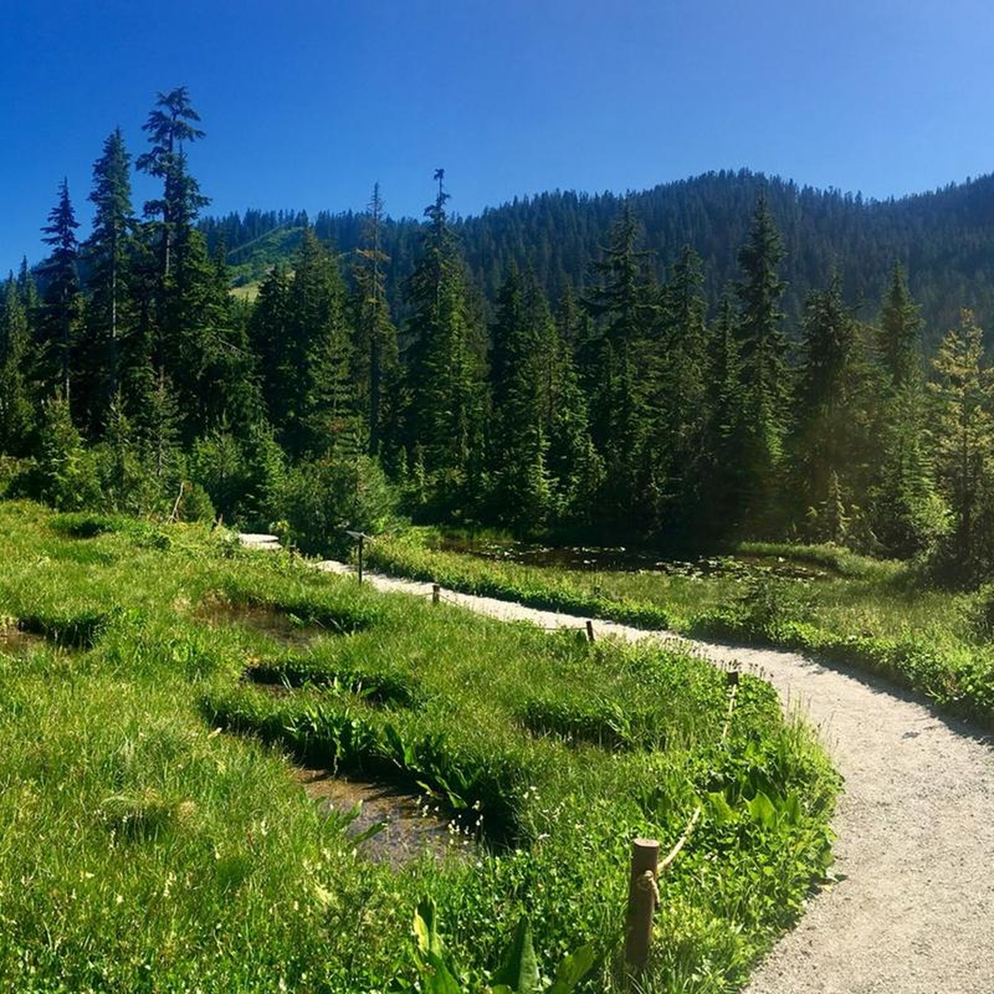
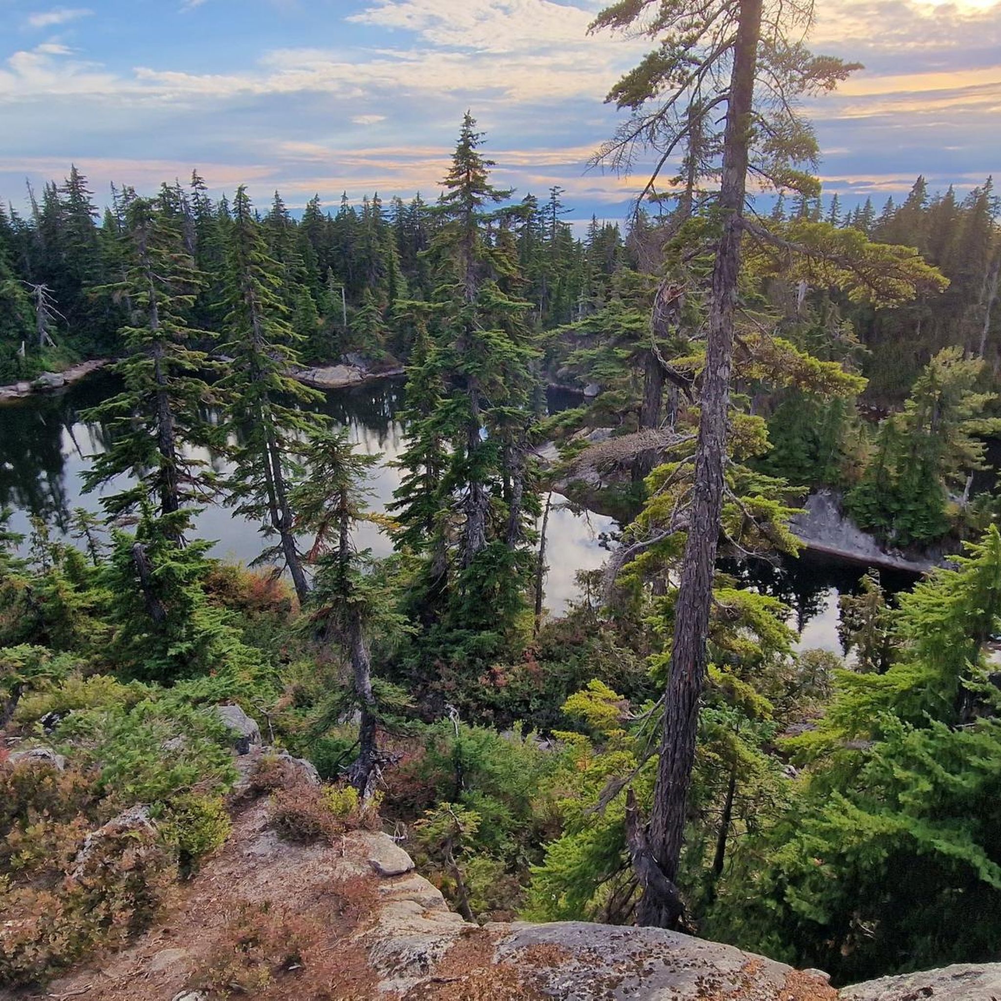
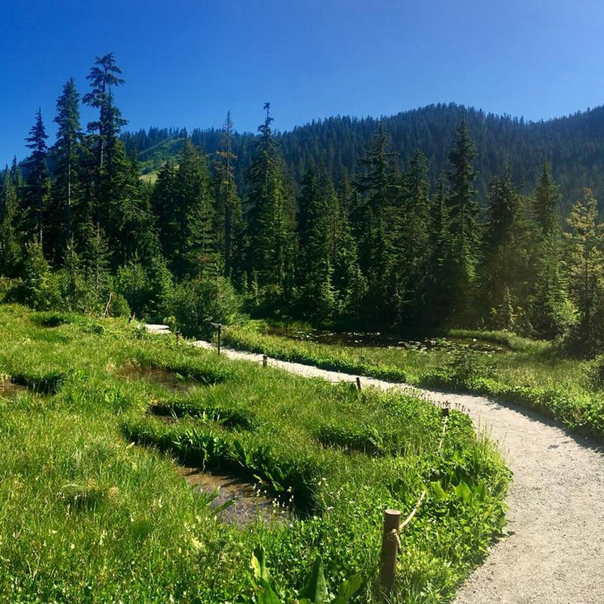
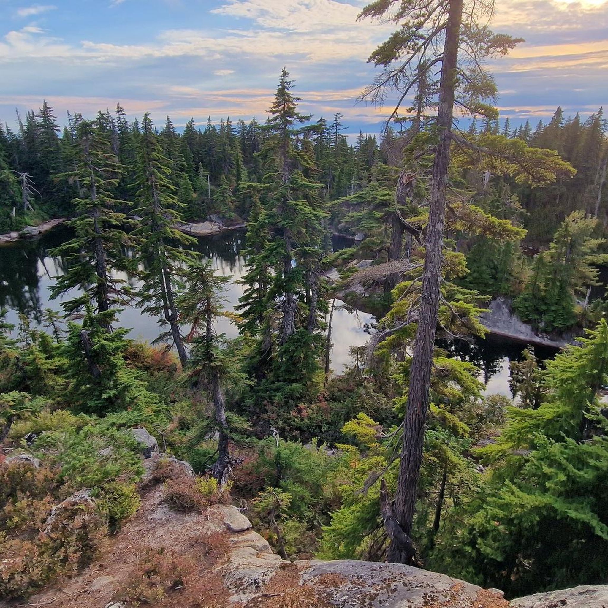
Cypress Provincial Park offers quick access to alpine scenery, forested trails, and sweeping views over Howe Sound, the Salish Sea, and the city below. In summer, you can explore trails on Black Mountain, Hollyburn Mountain, and Mount Strachan, or follow sections of the Howe Sound Crest Trail for sweeping coastal views. In winter, the park shifts into a hub for skiing, snowboarding, snowshoeing, and tubing, with easy trailheads and reliable snow close to the city.
1
0

Ambleside Park is a stunning waterfront public space on the shores of Howe Sound across the water from downtown Vancouver. This path is open for walking, jogging, or biking along the park's wide seaside boardwalk, which connects to the Centennial Seawalk. Looking south, freighters and sailboats dot the waters under the Vancouver skyline. The beach is a mix of sand and pebbles, popular for sunbathing, beachcombing, and swimming. Even dogs can enjoy the park in the designated off-leash zone. The park also has golfing, baseball, and pickleball fields, plenty of activities for everyone.
1
0


The Robert Burns Memorial is an outdoor memorial and statue of Scottish poet Robert Burns, located in Stanley Park in Vancouver, British Columbia, Canada.
0
0

The Granville Island Public Market is located in the northern part of the peninsula. The market is open daily from 9:00 a.m. to 6:00 p.m. – until 7:00 p.m. during the summer months. The buildings of the Public Market once housed companies in the timber, mining, and shipping industries. https://granvilleisland.com/public-market https://granvilleisland.com/history/the-public-market
2
0
The Lions Gate Bridge crosses the First Narrows. Whether walking or cycling, the view is magnificent. To the west, the view extends across Burrard Inlet and the Strait of Georgia to the Gulf Islands, which lie off the coast of Vancouver Island. To the east, the high-rise buildings of the Vancouver skyline can be seen above the dense forest of Stanley Park and the striking roof structure of Canada Place. On occasion, you can watch large passenger and container ships leaving Vancouver Harbour.
1
0

Watch out for pedestrians. There is a scenic lane and a fast lane.
0
0

Beautiful views of Vancouver Harbour, Stanley Park, and the North Shore mountains! The cycle path is narrow and shared with pedestrians, so use caution. If you are not in a rush, I recommend looping through Stanley Park for the approach and exit rather than the Stanley Park causeway. Going southbound has a more challenging climb that passes over a sewage treatment plant.
0
0
Frequently Asked Questions
How many road cycling routes are available in Cypress Provincial Park?
Cypress Provincial Park offers a diverse selection of over 20 road cycling routes. These routes cater to various skill levels, including easy, moderate, and difficult options, ensuring there's a suitable ride for almost every cyclist.
What kind of terrain can I expect when road cycling in Cypress Provincial Park?
Road cycling in Cypress Provincial Park is known for its challenging climbs and scenic switchbacks. The main road, Cypress Bowl Road, features significant elevation gains on paved surfaces, leading through dense forests and past majestic mountains. You'll encounter varied terrain from lower slopes to higher elevations.
Are there road cycling routes suitable for beginners in Cypress Provincial Park?
Yes, there are a few easier road cycling routes available. For instance, the Stanley Park Drive – Lions Gate Bridge loop from Hollyburn is an easy 34.6 km route with moderate elevation, offering a less strenuous experience while still providing scenic views.
Are there challenging road cycling routes for experienced riders in Cypress Provincial Park?
Absolutely. Cypress Provincial Park is renowned for its demanding climbs. Some routes feature significant elevation gains, such as the 'Cypress Mountain - Direct Route' mentioned in regional research, which includes segments with inclines up to 19.3%. These routes are perfect for iron-thighed cyclists seeking a rigorous workout.
What panoramic views can I expect along the road cycling routes?
The park is celebrated for its sweeping vistas. From various lookouts, including Bowen Lookout and Eagle Bluffs Viewpoint, you can enjoy spectacular views of Vancouver, Howe Sound, the Gulf Islands, and even Mount Baker on a clear day. The summer chairlift at Cypress Mountain also offers 360-degree views.
Are there any notable landmarks or natural features to see while cycling?
Yes, beyond the stunning views, you can encounter several points of interest. The Yew Lake area is a beautiful wetland, and you'll cycle through dense old-growth forests with trees over 1,000 years old. The Olympic Rings near the end of Cypress Bowl Road also serve as a historical landmark from the 2010 Winter Games.
What is the best time of year for road cycling in Cypress Provincial Park?
The best time for road cycling is generally from late spring through early autumn when the roads are clear of snow and ice. During these months, the weather is more favorable, and the panoramic views are often at their clearest. Winter conditions can make cycling challenging due to snow and ice at higher elevations.
Are there any loop trails for road cycling in Cypress Provincial Park?
Yes, many of the road cycling routes in Cypress Provincial Park are designed as loops. For example, the Lookout and Rest Point – View of Burrard Inlet loop from Hollyburn is a moderate 19.1 km route that allows you to start and finish at the same point, offering a convenient cycling experience.
What do other road cyclists enjoy most about cycling in Cypress Provincial Park?
The komoot community highly rates road cycling in Cypress Provincial Park, with an average score of 4.97 stars from over 40 reviews. Cyclists frequently praise the challenging climbs, the rewarding panoramic views of Vancouver and the surrounding natural beauty, and the well-maintained paved roads.
Is there parking available for road cyclists in Cypress Provincial Park?
Yes, parking is available within Cypress Provincial Park, particularly at the base and various points along Cypress Bowl Road. It's advisable to check the park's official website for current parking regulations and availability, especially during peak seasons.
Can I reach Cypress Provincial Park by public transport for road cycling?
While direct public transport to the higher elevations of Cypress Provincial Park for cycling might be limited, TransLink provides bus services to areas closer to the park's base in West Vancouver. From there, cyclists would need to ride up Cypress Bowl Road. Planning your route and checking TransLink schedules in advance is recommended.
Are there any cafes or facilities near the road cycling routes?
At the Cypress Mountain ski area base, there are facilities including cafes and washrooms, which are typically open during operating seasons. Along Cypress Bowl Road, options are limited, so it's wise to carry sufficient water and snacks for your ride.
Most popular routes in Cypress Provincial Park
Most popular attractions in Cypress Provincial Park

Get inspired with the komoot mobile app


Explore more
Browse the best Road cycling routes in other regions.
