Attractions and Places To See in John Muir Wilderness - Top 20
Best attractions and places to see in John Muir Wilderness include a vast expanse of high-alpine grandeur along California's Sierra Nevada. This wilderness area features dramatic glacially carved landscapes, including towering peaks, deep canyons, and numerous pristine lakes. It is also home to the John Muir Trail, a legendary 211-mile hiking route. The region offers a multitude of attractions for outdoor enthusiasts.
Best attractions and places to see in John Muir Wilderness
- The most popular attractions is Mount Whitney, a summit that stands as the highest point in the contiguous United States at 14,505 feet (4,421 meters). The summit also serves as the southern terminus of the famous John Muir Trail.
- Another must-see spot is Kearsage Pass, a mountain pass that is a popular resupply detour for long-distance hikers on the John Muir or Pacific Crest Trails. Visitors can expect sweeping vistas into Kings Canyon National Park, passing 5 mountain lakes along the way.
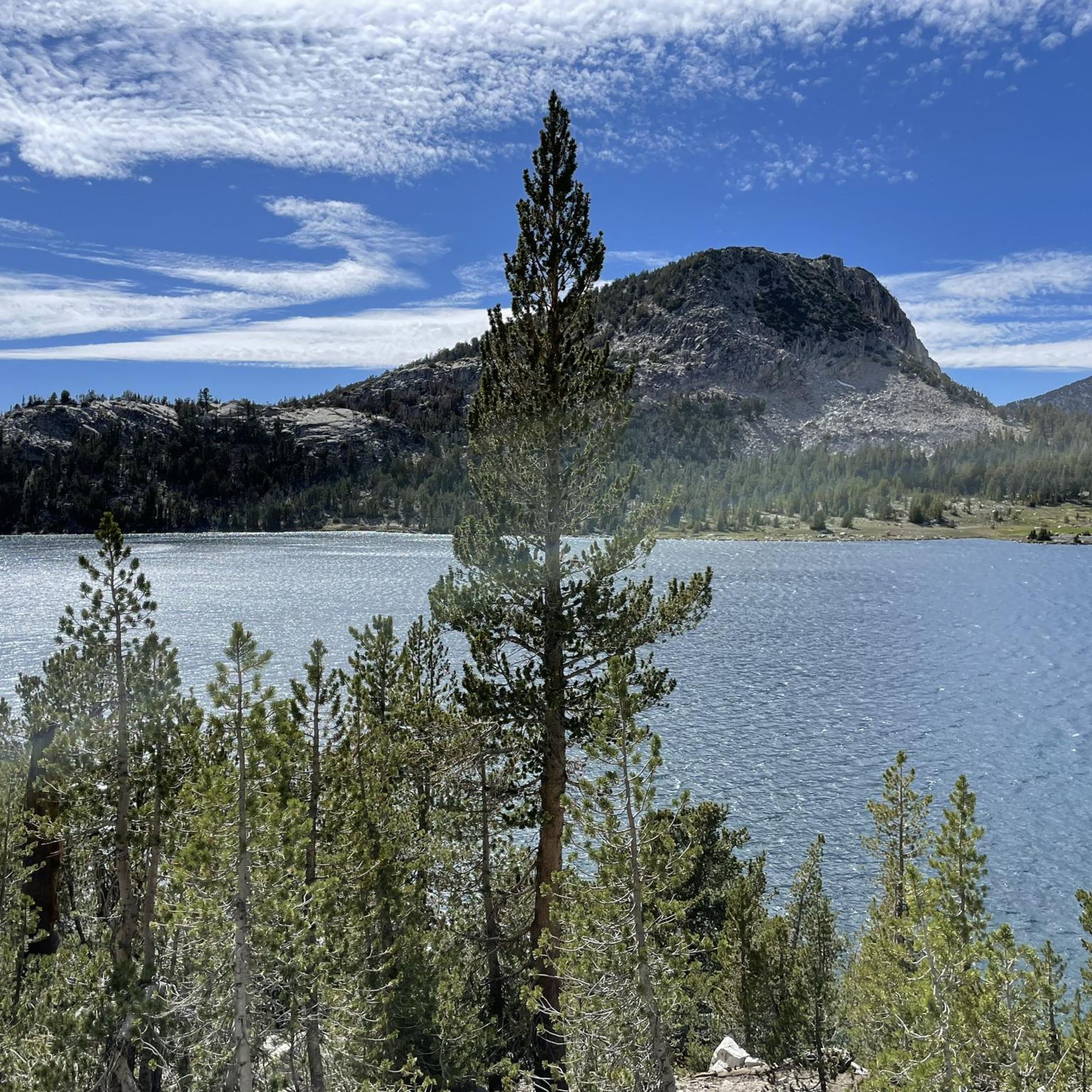
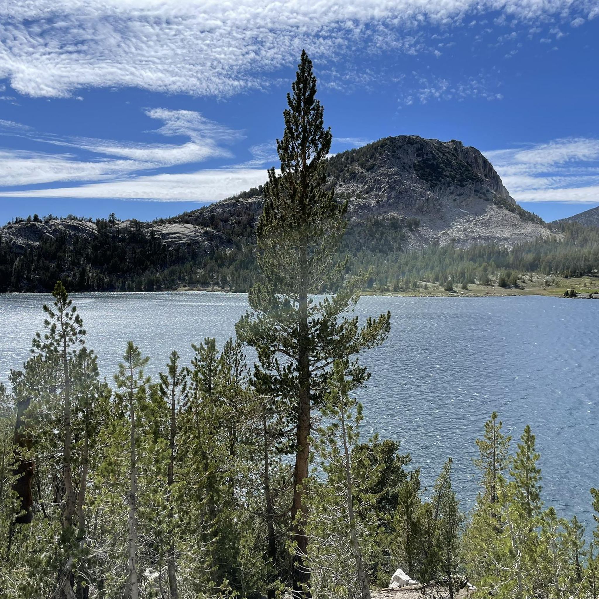
- Visitors also love Skelton Lake, a shining alpine lake in the Upper Lake’s basin. It is ideal for secluded backcountry camping and fishing, surrounded by other alpine lakes such as T.J. Lake, Crystal Lake, and McLeod Lake.
- John Muir Wilderness is known for its towering peaks, pristine lakes, and high mountain passes. The region offers a variety of natural features and historical sites to explore.
- The attractions in John Muir Wilderness are appreciated by the komoot community, with 13 upvotes and 77 photos shared by visitors.
Last updated: July 7, 2026
Mount Whitney
Highlight • Summit
If you plan to go up and back on the Mt. Whitney Trail, a popular travel plan is to stay one or two nights camping at Lone Pine Lake (10,000ft level), Outpost Camp (10,500ft level), Consultation Lake (11,000ft level) or Trail Camp (12,000ft level). To camp here, you need to have a valid permit from the forest service. Every year, there is a lottery to climb up Mount Whitney. You can apply between February 1 and March 15 at recreation.gov/permits/233260.
Tip by

Kearsage Pass
Highlight • Mountain Pass
Tip by

Sign up now to discover places like this
Get recommendations on the best single tracks, peaks, & plenty of other exciting outdoor places.
Sign up for free
Smithsonian Institution Shelter
Highlight • Mountain Hut
Only four days after the first trail to the summit was completed in 1904, an employee of the U.S. Bureau of Fisheries, Bryd Surby, was struck dead by a bolt of lightning after finishing his hike to the summit. This inspired the construction of the stone shelter.
The hut was built in 1909. The three room, granite shelter was constructed save hikers from the storms, but also as housing for scientists to study altitude. It is the place for Charles Greeley Abbot’s spectroscopic observations of Mars to investigate whether or not the planet had water.
Tip by
Skelton Lake
Highlight • Lake
It is a short 1.5 mile hike (one-way) from Coldwater Creek parking lot. For backcountry camping, you must get a wilderness permit from the Inyo National Forest. recreation.gov/permits/233262
Tip by
Silver Pass
Highlight • Mountain Pass
Hiking northbound, you can see Lake of the Lone Indian, Papoose Lake, Chief Lake, Warrior Lake and Squaw Lake before you hike up to Silver Pass.
Tip by
Sign up for free to discover even more attractions in John Muir Wilderness.
Sign up for free
Already have an account?
Start today with a free account
Your next adventure awaits.
Login or Signup
Popular around John Muir Wilderness

John Muir Trail – Along the legendary trail through the magical Sierra Nevada

The Sierra High Route — Solitude in California's alpine country

Pacific Crest Trail from Mexico to Canada – 4,200 kilometres of wilderness
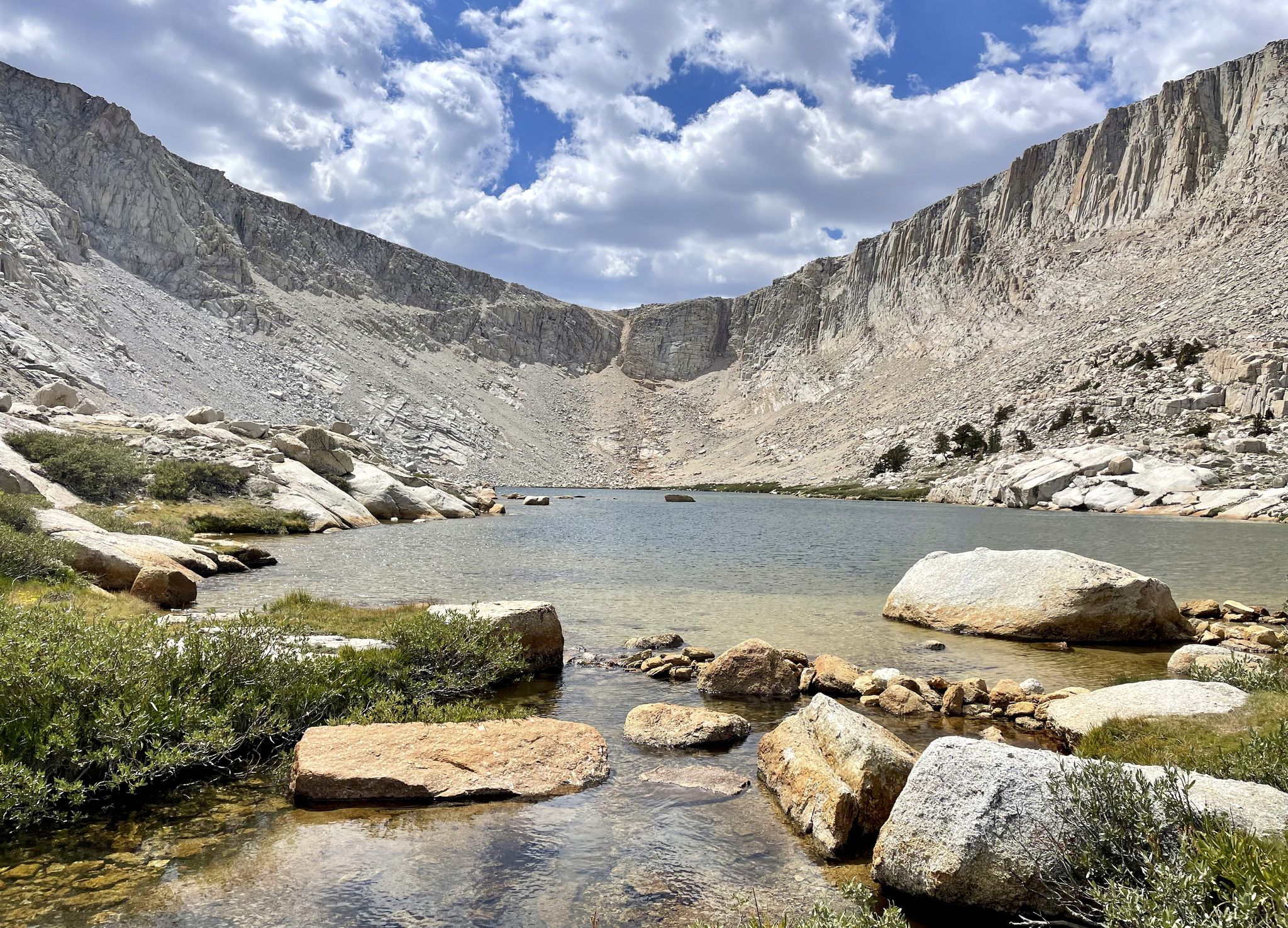
Cottonwood Lakes Loop — Exploring the Golden Trout Wilderness
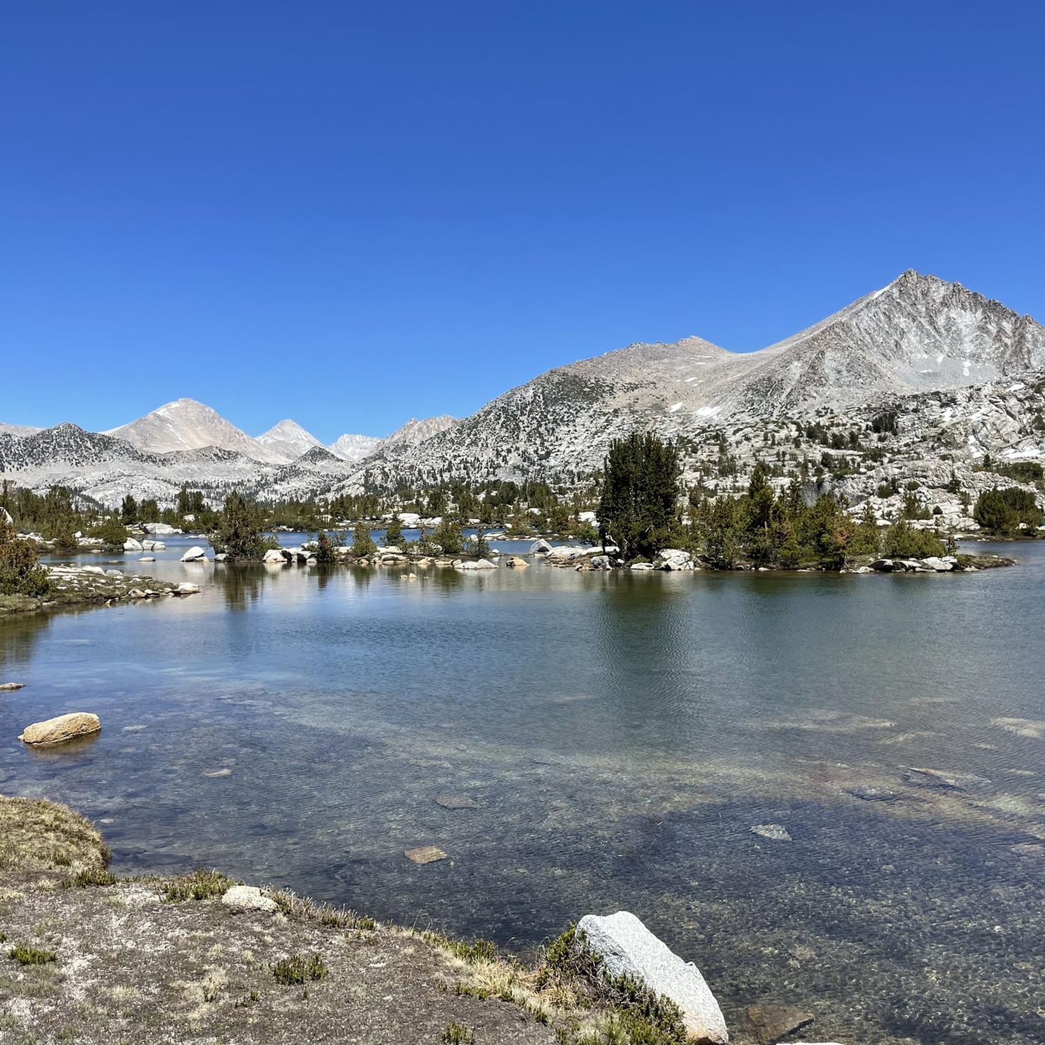
Hiking in John Muir Wilderness
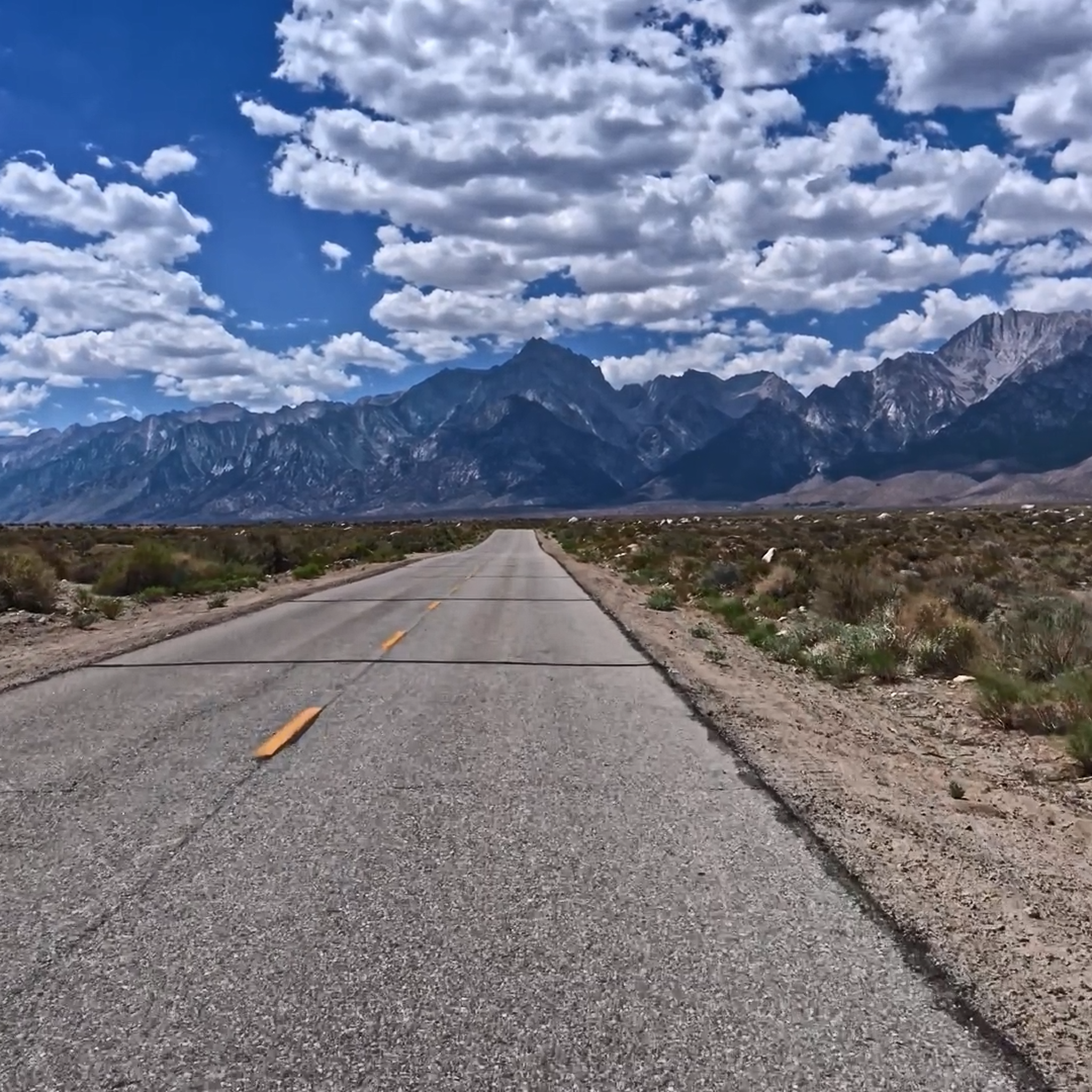
Road Cycling Routes in John Muir Wilderness
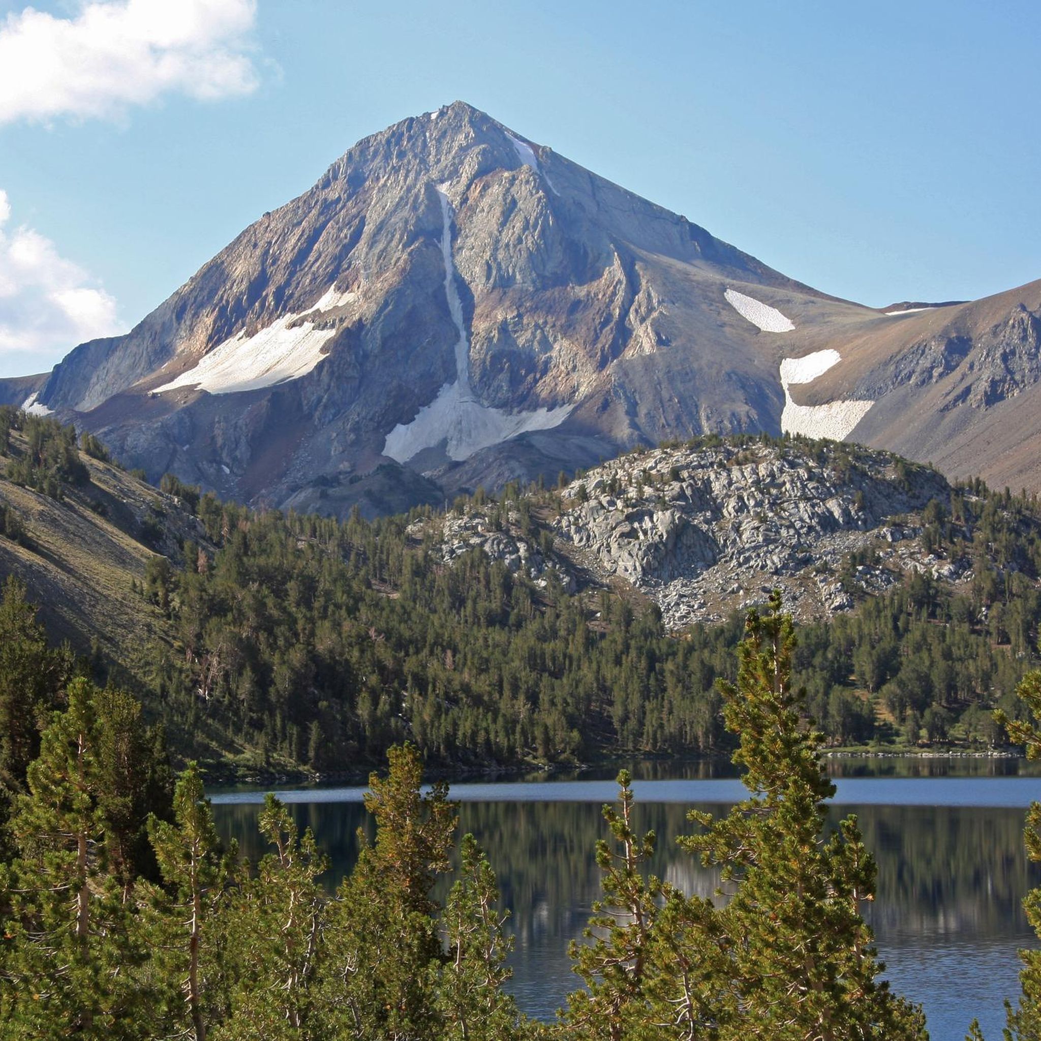
Running Trails in John Muir Wilderness
MTB Trails in John Muir Wilderness
Cycling in John Muir Wilderness

Gravel biking in John Muir Wilderness
Other adventures in John Muir Wilderness


Tips from the Community

The ascent of Mount Whitney offers breathtaking natural beauty, including stunning alpine scenery, glacial lakes, and panoramic views of the surrounding peaks. The mountain attracts a diverse range of visitors, from seasoned mountaineers to ambitious hikers looking to conquer a significant summit. Check more information on https://geometry-dashlite.io
0
0

Kearsarge Pass is the most popular location to get off the Pacific Crest Trail to get supplies in the nearby town of Lonepine or Bishop. You have to hike down several thousand feet to get to Onion Valley and try to get a ride down to the desert floor. In 2023, the road up to Onion Valley might still be closed due to the record snow year.
2
0

First 4000er - and then one like that!! #justgotengaded
0
2

You have to conquer this pass if you want your resupply in the city. But don't worry, it's less strenuous the second time! :D
0
1
Breathtaking view and feelings of happiness guaranteed after the ascent! There are several metal signs on the summit that can be used for a photo. The shelter was full of snow when we were up and I didn't look further. And yes, there is a cell phone network and almost all thru hikers use this to get in touch with loved ones. ;)
1
0

With an elevation of 4,421 meters, Mount Whitney is the highest point in the United States. The summit is the southern end of the famous John Muir Trail. At the summit is the Mount Whitney Summit Shelter, a granite shelter built in 1909. It has three rooms and was built as a refuge for hikers from storms, but also to house scientists studying altitude. It is the site of Charles Greeley Abbot's spectroscopic observations of Mars to test whether or not the planet had water.
0
0
Skelton Lake is a wonderful place to enjoy. It can be reached by following the Duck Pass Trail, a very scenic route that is truly spectacular.
0
0

Beautiful views of the mountain that you will soon conquer, as well as alpine lakes resembling gems. A very nice reward.
0
0
Frequently Asked Questions
What are some of the most popular hiking routes in John Muir Wilderness?
The John Muir Wilderness offers a vast network of trails. The legendary Mount Whitney trail is a challenging but rewarding endeavor to the highest point in the contiguous United States. For a stunning day hike with sweeping vistas into Kings Canyon National Park, consider the trail to Kearsage Pass, passing five mountain lakes. Other popular routes include the Cottonwood Lakes Trail and the Duck Pass Trail, both offering moderate difficulty. You can find more hiking options in the Hiking in John Muir Wilderness guide.
What natural features can I expect to see in John Muir Wilderness?
The wilderness is renowned for its dramatic glacially carved landscapes. You'll encounter towering peaks like Mount Whitney and the rugged Palisades, deep canyons, and nearly a thousand pristine alpine lakes. Notable lakes include Skelton Lake, Thousand Island Lake, and the Rae Lakes. High mountain passes such as Kearsage Pass and Silver Pass also offer breathtaking panoramic views.
Where can I find the best panoramic views in the wilderness?
For incredible panoramic views, consider hiking to one of the many high mountain passes. Kearsage Pass offers sweeping vistas into Kings Canyon National Park. Silver Pass provides access to a chain of beautiful lakes and expansive scenery. Mather Pass and Glenn Pass are also known for their spectacular outlooks, including views of the Rae Lakes region and the Great Western Divide.
Are there any notable lakes for camping or fishing?
Yes, the John Muir Wilderness is home to many scenic lakes ideal for backcountry camping and fishing. Skelton Lake is a beautiful alpine lake perfect for secluded camping, surrounded by other lakes like T.J. Lake and Crystal Lake. Duck Lake and Lake Virginia are also popular fishing destinations. Remember that wilderness permits are required for backcountry camping.
Do I need a permit to visit John Muir Wilderness?
Yes, permits are required for all overnight trips into the John Muir Wilderness. These permits are subject to trailhead quotas and can be obtained from the Sierra or Inyo National Forests. For specific destinations like Mount Whitney, there is an annual lottery system for permits, which typically runs from February 1 to March 15 via recreation.gov.
When is the best time to visit John Muir Wilderness?
The John Muir Wilderness is generally accessible from July through September, which is considered the best time to visit for hiking and backpacking, especially for routes like the John Muir Trail. During winter, many facilities and roads close due to heavy snow, making access challenging. Always check seasonal conditions before planning your trip.
Are there any historical or cultural sites in John Muir Wilderness?
Yes, the wilderness holds both historical and cultural significance. The Smithsonian Institution Shelter, also known as the Mount Whitney Summit Shelter, is a historic hut built in 1909. The Sierra Nevada also has a rich indigenous cultural heritage, with evidence of communities and trading routes dating back 5,000 years. Artifacts and historical sites can still be found throughout the region.
What other outdoor activities can I do in John Muir Wilderness besides hiking?
Beyond hiking, the John Muir Wilderness offers opportunities for backpacking, backcountry camping, and fishing in its numerous lakes. Running is also popular on many trails. You can explore various running routes in the Running Trails in John Muir Wilderness guide. The region's diverse terrain also makes it suitable for photography and wildlife viewing.
Are there any challenging trails for experienced hikers?
Absolutely. The ascent to Mount Whitney is a highly challenging endeavor, often requiring multiple days and permits. The Shepherd Pass Trail is another difficult route, covering over 22 kilometers with significant elevation gain. Many sections of the John Muir Trail and Pacific Crest Trail that traverse the wilderness also present considerable challenges for experienced backpackers.
Are there family-friendly hiking options in John Muir Wilderness?
While many trails are challenging, there are options suitable for families. The short 1.5-mile hike (one-way) to Skelton Lake from the Coldwater Creek parking lot is a moderate option. The Big Pine Creek Campground and Glacier Lodge Loop Trail is an easier, shorter route. Always check trail difficulty and distance to ensure it aligns with your family's capabilities.
What are some moderate day hikes in the John Muir Wilderness?
For moderate day hikes, consider the trail to Kearsage Pass, which is about 4.6 miles from the trailhead and offers stunning views. The Duck Pass Trail and Mono Pass Trail are also popular choices, providing manageable distances and beautiful scenery. These trails offer a good balance of challenge and reward for a day trip.
Are there any loop trails for hiking in the area?
Yes, the John Muir Wilderness features several loop trails. The Rae Lakes Loop is a famous multi-day backpacking loop known for its stunning high-alpine scenery. For shorter options, the Big Pine Creek Campground and Glacier Lodge Loop Trail is an easier route, and the First Lake – Second Lake and Temple Crag loop from Trout Pond offers a moderate experience. The North Lake South Lake Loop is a much longer and more difficult option for advanced hikers.
Most popular routes in John Muir Wilderness
Most popular attractions in John Muir Wilderness

Get inspired with the komoot mobile app


Explore more
Still not found the Highlight you’re looking for? See guides of the top attractions in other regions:
