The best gravel rides in John Muir Wilderness
27
riders
3
rides
Gravel biking in John Muir Wilderness is generally prohibited within its designated wilderness boundaries to preserve its pristine nature. However, the surrounding Eastern Sierra Nevada region offers varied terrain for gravel biking. This area is characterized by rugged mountain ranges, granite cliffs, and high-elevation landscapes, with routes often traversing fire roads and less restricted areas. These routes provide access to diverse ecosystems, from forested valleys to more exposed, rocky sections.
Best gravel bike trails in John Muir Wilderness
- The most…
Last updated: July 2, 2026
4
riders
30.6km
02:07
490m
490m
Hard gravel ride. Very good fitness required. Mostly paved surfaces. Suitable for all skill levels.
6
riders
145km
10:57
2,260m
2,260m
Hard gravel ride. Very good fitness required. Mostly paved surfaces. Suitable for all skill levels.

Sign up for free
17
riders
69.1km
05:47
1,200m
1,200m
Hard gravel ride. Very good fitness required. Mostly paved surfaces. Suitable for all skill levels.
17.9km
01:41
50m
50m
Easy gravel ride. Great for any fitness level. Mostly paved surfaces. Suitable for all skill levels.
Our route recommendations are based on thousands of hikes, rides, and runs completed by other people on komoot.
Start today with a free account
Your next adventure awaits.
Login or Signup
Popular around John Muir Wilderness

John Muir Trail – Along the legendary trail through the magical Sierra Nevada

The Sierra High Route — Solitude in California's alpine country

Pacific Crest Trail from Mexico to Canada – 4,200 kilometres of wilderness
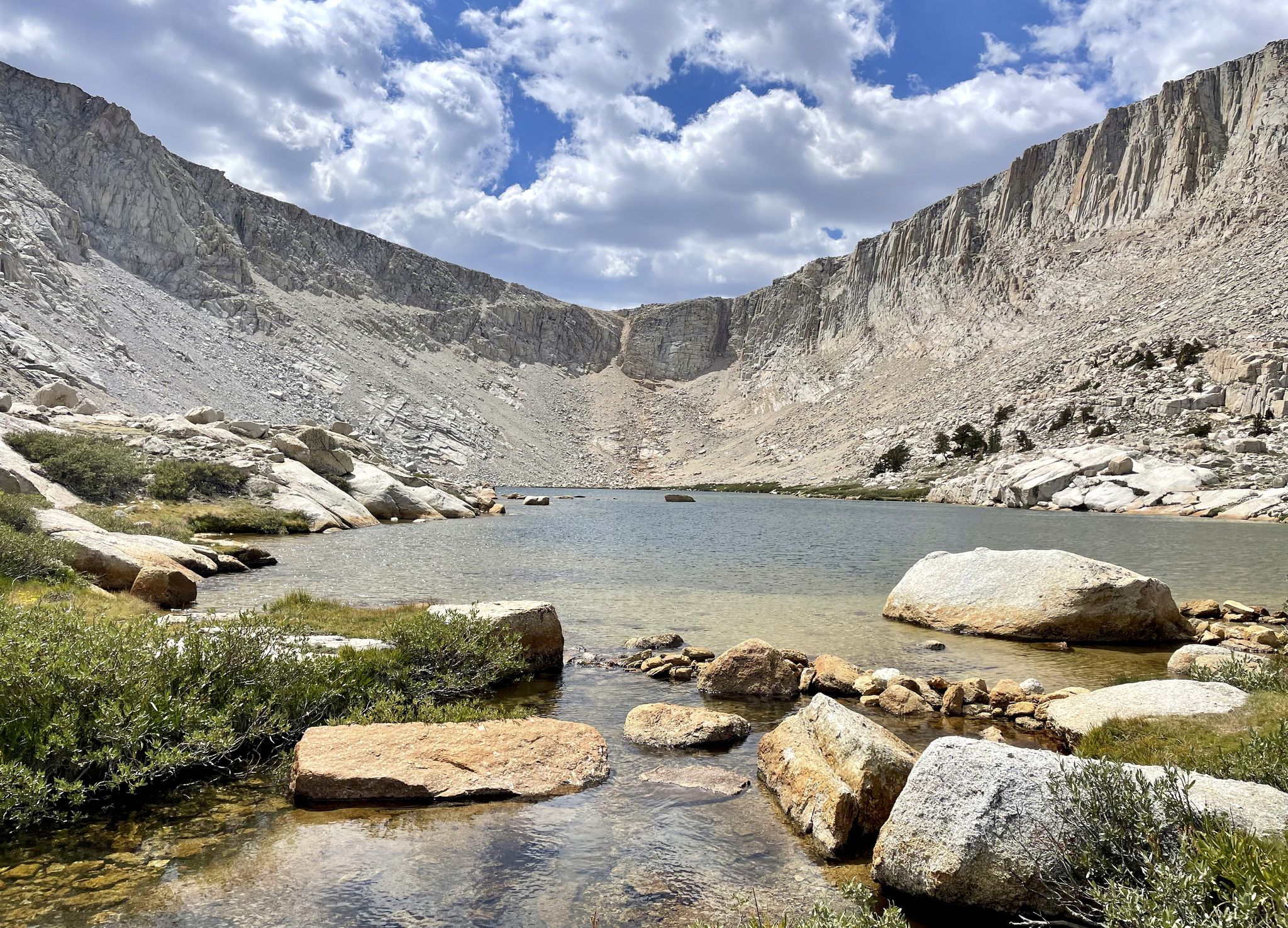
Cottonwood Lakes Loop — Exploring the Golden Trout Wilderness
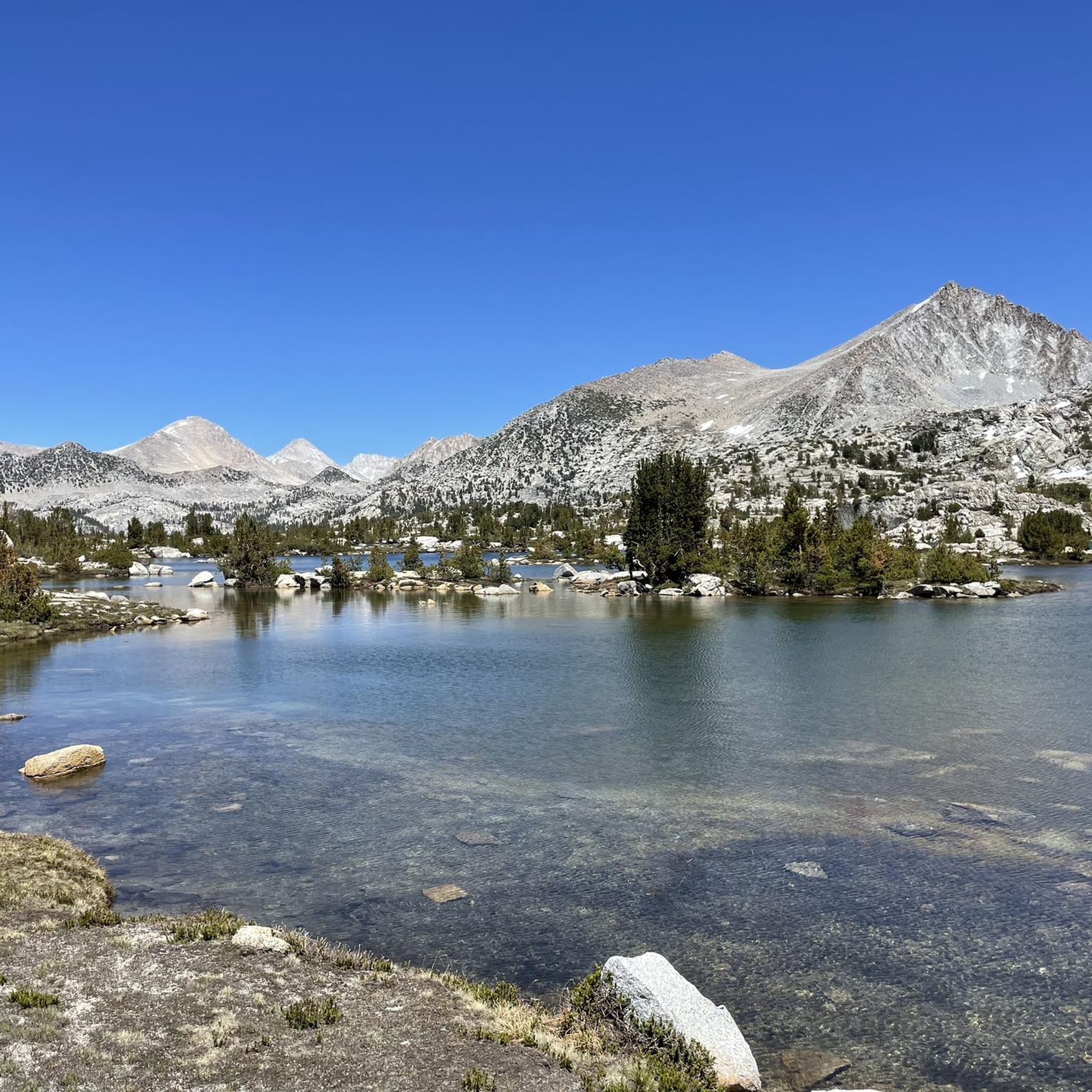
Hiking in John Muir Wilderness
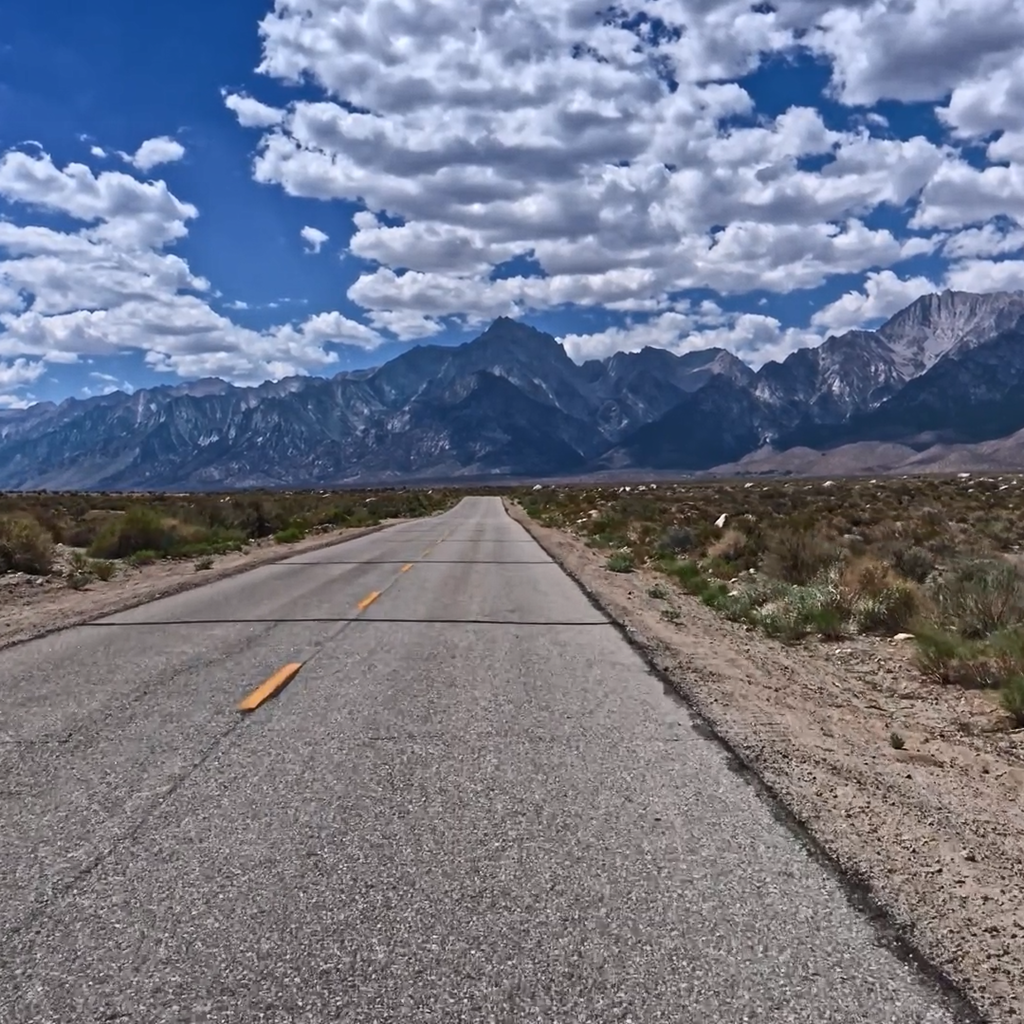
Road Cycling Routes in John Muir Wilderness
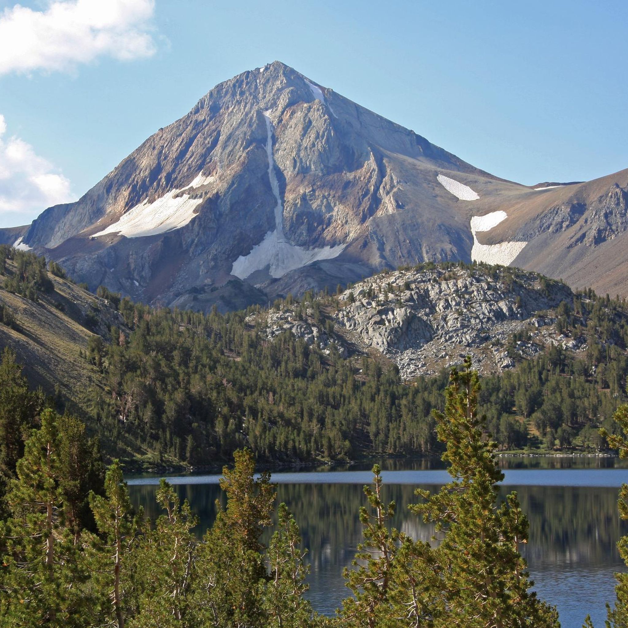
Running Trails in John Muir Wilderness
MTB Trails in John Muir Wilderness
Cycling in John Muir Wilderness
Other adventures in John Muir Wilderness


Tips from the Community

This spot offers beautiful views of the Owens River with the White Mountains in the background. It’s a great place to end your ride and enjoy a quiet, scenic picnic.
0
0

Moffat Ranch Road crosses the California Aqueduct, offering multiple roadside pullouts for parking to begin your off-road biking adventure. The California Aqueduct, over 400 miles long, is one of the world's largest water transport systems, delivering around 2.5 million acre-feet of water annually. Water travels from Northern California to Southern California. It features pumping plants that lift water over mountain ranges it passes over.
0
0

Chalk Bluff, for which the road is named for, is remarkably a straight, ~5-mile-long, escarpment that forms the south edge of the Volcanic Tableland. Named Chalk Bluff for its light tan-to-white colored, chalk-like rocks, they stand in contrast to the darker, volcanic Bishop tuff boulders that stand atop the escarpment and are popular with rock climbers. The Owens River flows below the Chalk Bluff with the gravel road running between, all making for a truly unique riding experience.
0
0
As you ride along Chalk Bluff Road, you get great views of the Owens River and surrounding area. This is a great spot to pause your ride, snap a few photos, or dip your feet in the cold waters after a long ride.
0
0
Happy Boulders Parking area is about two miles from the Pleasant Valley Campground on Chalk Bluffs Road. There is a pit toilet here, but no water. This is an extremely popular spot for hiking and especially rock climbing (Bishop is a world famous bouldering area) so be sure to get there early to ensure you get a spot! Please pull close to other cars and make sure that you are fully off the road.
0
0

The Village at Mammoth is a great place to dine, relax and entertain with its diverse restaurants and retailers. The Westin Monache offers rental condominium units, and the heated swimming pools are available year-round. The gondola runs in and out of The Village during ski season and takes visitors to Canyon Lodge. In the summer, the village hosts weekly events such as movies, concerts, and activities.
0
0
Hot Creek flows through the Long Valley Volcanic Caldera's resurgent dome, which is the world's largest. It passes through hot springs, and its warm water is home to a variety of trout and is also used for the Hot Creek Fish Hatchery. Swimming in the creek has been prohibited since 2006 due to the rise in geothermal activity, and it remains closed to this day (2024). However, many other hot springs are located nearby that are accessible to swimmers.
0
0
Hot Creek Ranch is a gorgeous, privately owned ranch featuring stunning streamside cabins surrounded by incredible scenery, fully equipped with all the amenities you need for a comfortable stay. It's a dry fly-only ranch, so you can enjoy the thrill of catching fish with nothing but your skills and a bit of luck.
1
0
Frequently Asked Questions
Is gravel biking permitted within the John Muir Wilderness?
No, gravel biking is strictly prohibited within the designated wilderness boundaries of the John Muir Wilderness. Regulations forbid wheeled vehicles or motorized equipment to preserve the area's pristine nature. For more details on wilderness regulations, you can refer to the National Park Service policies.
Where can I find gravel biking trails near the John Muir Wilderness?
While gravel biking is not allowed within the wilderness itself, the surrounding Eastern Sierra Nevada region offers excellent opportunities. Routes often traverse fire roads and less restricted areas, providing access to diverse ecosystems. For example, the Mammoth Lakes – Hot Creek Geological Site loop from Mammoth Lakes is a popular option in the vicinity.
What kind of terrain can I expect on gravel bike routes in the Eastern Sierra Nevada region?
Gravel bike routes in the vicinity of John Muir Wilderness are characterized by high-altitude landscapes, challenging climbs, and expansive views. You'll encounter varied terrain, from forested valleys to more exposed, rocky sections, often on fire roads. Many routes are rated as difficult, featuring significant elevation gain.
Are there any easy gravel bike routes available in the area?
Most of the gravel routes in this high-altitude region are rated as difficult due to substantial climbing and varied terrain. However, there is one moderate route available: the Shady Rest Visitors Center – Mammoth Lakes loop from Mammoth Lakes, which covers 26.4 km.
What are some challenging gravel bike routes for experienced riders?
For experienced riders seeking a challenge, the region offers several difficult routes. The Mammoth Lakes – Hot Creek Geological Site loop from Mammoth Lakes is a demanding 144.5 km trail with over 2,200 meters of elevation gain. Another challenging option is the Mammoth Lakes – Mammoth Lakes loop from Eagle Lodge, a 47.6 km path with nearly 600 meters of climbing.
Can I find loop trails for gravel biking near John Muir Wilderness?
Yes, several loop trails are available for gravel biking in the surrounding areas. Examples include the Mammoth Lakes – Mammoth Lakes loop from Eagle Lodge and the Village Plaza – Village Plaza loop from Eagle Lodge. These loops offer diverse scenery and return you to your starting point.
Are there any notable natural features or landmarks to see while gravel biking in the surrounding areas?
While gravel biking is outside the wilderness, the Eastern Sierra Nevada region is rich in natural beauty. You might encounter stunning mountain vistas and high-elevation landscapes. Nearby attractions include iconic peaks like Mount Whitney (though not directly accessible by bike), and various alpine lakes such as Second Lake and Skelton Lake, which are part of the broader natural landscape.
What is the best time of year for gravel biking near John Muir Wilderness?
The best time for gravel biking in the Eastern Sierra Nevada region is typically during the warmer months, from late spring through early autumn. This avoids heavy snow at higher elevations and offers more stable weather conditions. Always check local weather forecasts and road conditions before heading out, as mountain weather can change rapidly.
What towns are good starting points or offer amenities for gravel bikers near the John Muir Wilderness?
Mammoth Lakes is a key hub for outdoor activities in the Eastern Sierra Nevada and serves as an excellent starting point for many gravel biking routes. It offers various amenities, including lodging, dining, and bike shops, making it convenient for visitors. Many routes, such as the Village Plaza – Mammoth Mountain Resort loop, start from Mammoth Lakes.
Are there options for family-friendly gravel biking?
Given the challenging nature of most routes in this high-altitude region, with significant elevation gains and difficult terrain, many gravel biking trails near John Muir Wilderness are not typically considered family-friendly for younger children or beginner riders. However, some areas outside the immediate vicinity, like Mount Wanda Fire Roads, might offer easier options for bicycling.
Can I bring my dog on gravel bike trails in the region?
Regulations regarding dogs can vary significantly between different land management agencies and specific trails. While dogs are generally allowed on leash on many national forest roads and trails outside of designated wilderness areas, it's crucial to check the specific rules for each trail or area you plan to visit. Always ensure your dog is under control and pack out all waste.
Do I need permits for gravel biking in the areas surrounding John Muir Wilderness?
Gravel biking itself on public roads and designated trails outside of wilderness boundaries typically does not require a specific permit. However, if you plan to camp or engage in other activities within certain areas, or if you enter designated wilderness for hiking, permits may be required. Always verify with the local land management agency (e.g., Inyo National Forest, Sierra National Forest) for the most current regulations.
Most popular routes in John Muir Wilderness
Most popular attractions in John Muir Wilderness

Get inspired with the komoot mobile app


