The best road cycling routes around Lilydale
4.6
(146)
4,876
riders
172
rides
Road cycling around Lilydale offers diverse landscapes, serving as a gateway to the Yarra Valley and Dandenong Ranges. The terrain features rolling hills, lush bushland, and river valleys, providing varied gradients for cyclists. The region is characterized by its natural beauty, including views of the Yarra Ranges National Park and the Central Highlands. This area provides accessible and scenic routes for various cycling preferences.
Best road cycling routes around Lilydale
- The most popular road cycling route is River to River Greenway and Mississippi River Trail Loop, a 18.1 miles (29.2 km) trail that takes 1 hour 20 minutes to complete. This route features a gentle elevation gain of 781 feet (238 meters).
- Another top favourite among local road cyclists is Mississippi River Twin Cities Loop, an easy 25.2 miles (40.5 km) path. This route offers scenic views along the river with an elevation gain of 824 feet (251 meters).
- Local road cyclists also love the St. Paul to Rice Creek Chain of Lakes Park loop, a 38.1 miles (61.3 km) trail leading through varied landscapes, often completed in about 2 hours 30 minutes.
- Road cycling around Lilydale is defined by rolling hills, bushland, and river paths. The network offers options for different ability levels, from easy rides to more challenging routes.
- The routes in Lilydale are highly rated by the komoot community with an average score of 4.7 stars from over 80 reviews. More than 4,000 road cyclists have used komoot to explore Lilydale's varied terrain.
Last updated: July 1, 2026
4.7
(11)
252
riders
43.4km
01:54
300m
290m
Easy road ride. Great for any fitness level. Mostly well-paved surfaces and easy to ride.
16
riders
29.2km
01:20
240m
240m
Easy road ride. Great for any fitness level. Mostly well-paved surfaces and easy to ride.

Sign up for free
1
riders
40.5km
01:48
250m
250m
Easy road ride. Great for any fitness level. Mostly well-paved surfaces and easy to ride.
61.3km
02:30
250m
250m
Moderate road ride. Good fitness required. Mostly well-paved surfaces and easy to ride.
2
riders
54.2km
02:21
320m
320m
Moderate road ride. Good fitness required. Mostly well-paved surfaces and easy to ride.
Get access to more routes and recommendations from other explorers.
Sign up for free
Already have an account?
Our route recommendations are based on thousands of hikes, rides, and runs completed by other people on komoot.
Start today with a free account
Your next adventure awaits.
Login or Signup

Tips from the Community

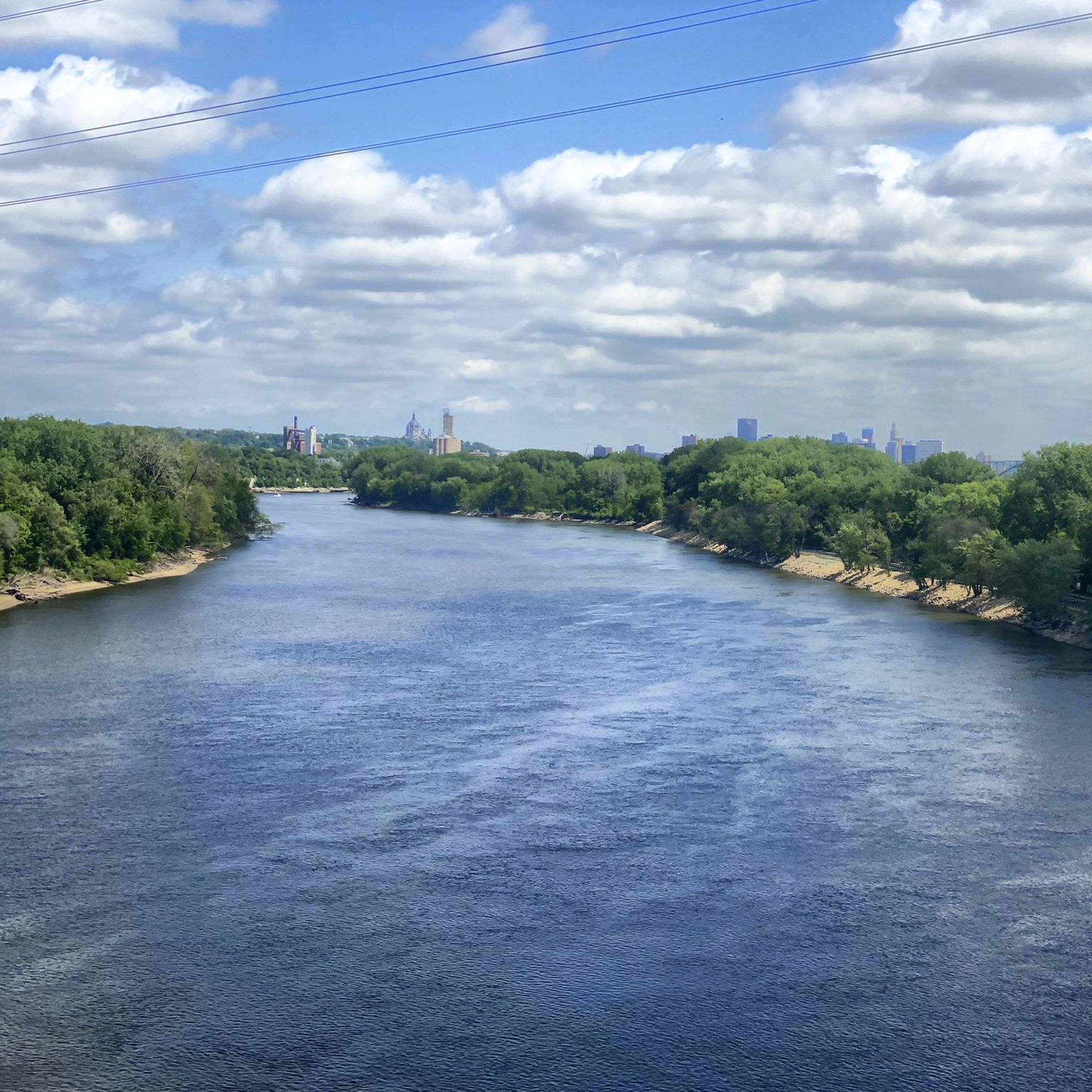
Nice river views from the bike path.
0
0

Here is a link to a Minnesota Department of Natural Resources map of summer trails at Fort Snelling State Park (https://files.dnr.state.mn.us/maps/state_parks/spk00154_summer.pdf). Although bicycles are allowed on many of the park trials, the legend on the map shows, sadly, that the circumferential trail on Pike Island is for hiking only.
0
0

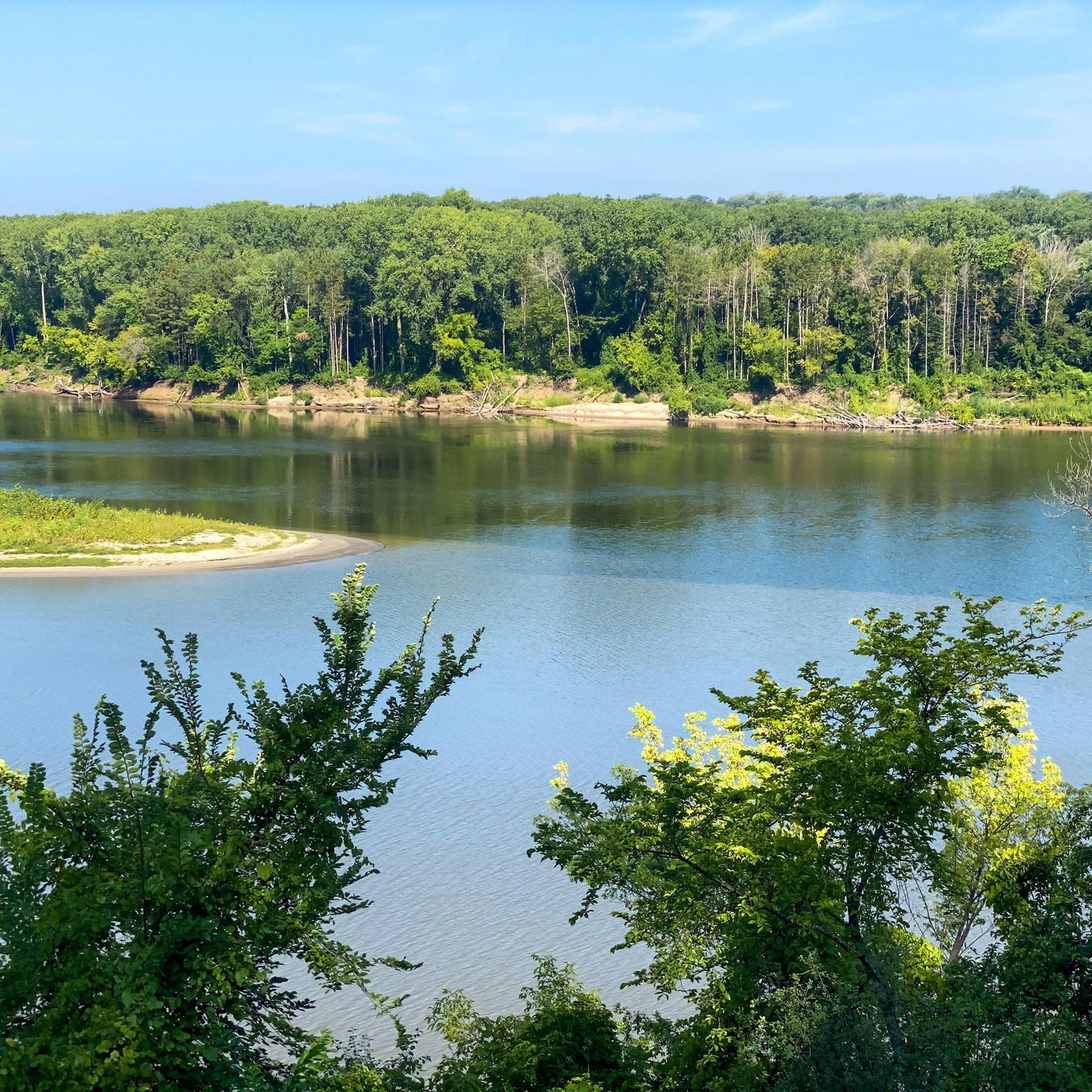
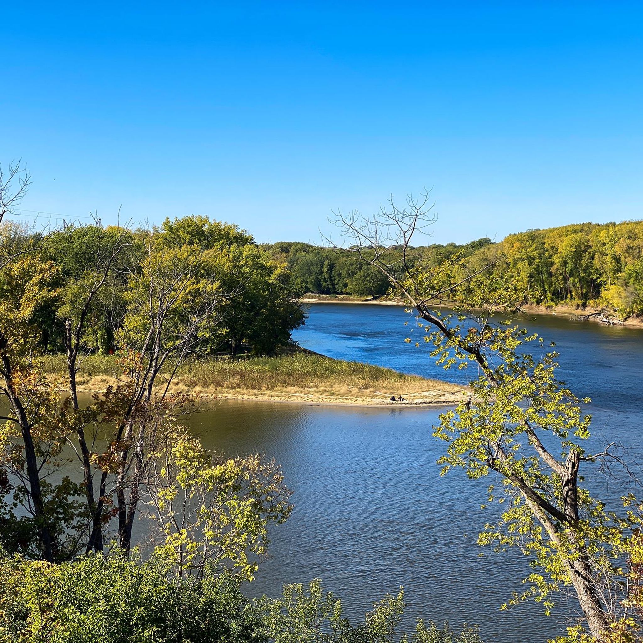
at the tip of Pike Islands a very nice packed Earth bike route around this little Island
0
0

Walking or biking the iconic Stone Arch Bridge is a must-do while in Minneapolis. The path of the bridge offers stunning views of the Minneapolis skyline and the Mississippi River. The bridge itself is a beautiful stone masterpiece.
0
0

Pretty, multi-million dollar bike/pedestrian bridge that avoids a dangerous crossing of Route 55.
0
0

The River to River Greenway runs for nearly 8 miles from Kaposia Landing in east St. Paul to the confluence of the Minnesota & Mississippi Rivers on the west side. Along its stretch you'll pass through a number of neighborhoods and parks each with their own charm tempting you to stop and linger for a while.
0
0
With a campground, fishing piers, hiking and biking trails, and playgrounds, this 5,500 acre park has something for everyone. Its proximity to the Twin Cities means it does get busy, but its size means you can usually find a quiet spot if you look for one.
0
0
This new bike path was opened in 2020 and runs between Harriet Island Regional Park and Kaposia Landing Fields in South St. Paul. It adds to the already impressive network of bike paths in the area, and can be ridden in a loop if connected with River to River Greenway and Lilydale Regional Park Trail.
0
0
Frequently Asked Questions
How many road cycling routes are available around Lilydale?
Lilydale offers a wide variety of road cycling routes, with over 170 options available. These routes cater to different preferences, from leisurely rides to more challenging excursions through the region's diverse landscapes.
What are the difficulty levels of road cycling routes in Lilydale?
The routes around Lilydale cater to all skill levels. You'll find approximately 95 easy routes perfect for a relaxed ride, 75 moderate routes for those seeking a bit more challenge, and a few difficult routes for experienced cyclists looking for a demanding adventure.
What do other road cyclists enjoy most about cycling in Lilydale?
The road cycling routes in Lilydale are highly regarded by the komoot community, boasting an average rating of 4.7 stars from over 80 reviews. Cyclists often praise the diverse landscapes, from rolling hills and lush bushland to scenic river valleys, and the accessibility of routes that showcase the natural beauty of the Yarra Valley and Dandenong Ranges.
What is the Lilydale to Warburton Rail Trail like for road cycling?
The Lilydale to Warburton Rail Trail is an iconic 40-kilometer recreation trail that follows a historical railway line. It's excellent for road cycling due to its gentle gradient, making it accessible for various fitness levels. The trail meanders through diverse scenery, including bushland, wineries, and farmlands, offering views of the Yarra Ranges National Park. It also passes through charming towns like Mount Evelyn, Wandin North, and Warburton, providing opportunities for breaks and local experiences. You can find more information about this trail on visityarravalley.com.au.
Can I cycle around Lilydale Lake?
Yes, Lilydale Lake features a dedicated bike track, offering a more contained and relaxed cycling option. It's a great spot for a leisurely ride, with walking tracks and picnic areas also available, making it suitable for families.
Are there any circular road bike routes in Lilydale?
Yes, Lilydale offers several circular road bike routes. For example, the River to River Greenway and Mississippi River Trail Loop is a popular 29.2 km circular route, and the Mississippi River Twin Cities Loop offers a longer 40.5 km option.
What natural features or landmarks can I see along road cycling routes in Lilydale?
Cycling routes around Lilydale offer access to stunning natural features and landmarks. You can explore areas with beautiful lakes like Lake Phalen and Como Lake. The region also features impressive natural monuments such as Minnehaha Falls and the Confluence of the Mississippi and Minnesota Rivers. Many routes provide scenic viewpoints, including Summit Overlook Park, offering panoramic views of the surrounding landscapes.
Are there any waterfalls along the cycling routes?
Yes, you can find beautiful waterfalls near some cycling routes. Minnehaha Falls is a notable natural monument in the area that can be incorporated into or accessed from various cycling excursions.
Where can I find parking for road cycling routes in Lilydale?
Parking is generally available at various trailheads and in the towns along popular routes like the Lilydale to Warburton Rail Trail. Lilydale Lake also provides parking facilities for cyclists accessing its bike track. It's advisable to check specific starting points for detailed parking information.
Are the cycling routes in Lilydale family-friendly?
Many routes in Lilydale are suitable for families, especially those with gentle gradients and dedicated paths. The Lilydale to Warburton Rail Trail, with its relatively flat profile, is a popular choice for family outings. Lilydale Lake also offers a contained and safe environment for family cycling. There are approximately 95 easy routes available, perfect for all ages.
Are dogs allowed on cycling routes in Lilydale?
The Lilydale to Warburton Rail Trail is known to be suitable for walkers, cyclists, and horse riders. While specific dog regulations can vary, many public trails in the region generally allow dogs on a leash. It's always best to check local signage or council websites for the most current rules regarding pets on specific routes.
Are there cafes or pubs along the Lilydale cycling trails?
Yes, the Lilydale region is dotted with charming townships, particularly along the Lilydale to Warburton Rail Trail. Towns like Mount Evelyn, Wandin North, Seville, and Warburton offer numerous opportunities for breaks, where you can find cafes, pubs, and local produce to refuel during your ride.
What is the best time of year to road bike near Lilydale?
Lilydale offers excellent cycling conditions for much of the year. Spring (September to November) is particularly beautiful with wildflowers in bloom. Warmer months are ideal for enjoying attractions like the splashpad at Lilydale Lake. The region's diverse scenery, including bushland and river valleys, provides pleasant cycling experiences across different seasons, though checking local weather forecasts is always recommended.
Most popular attractions around Lilydale

Get inspired with the komoot mobile app


Explore more
Browse the best Road cycling routes in other regions.
