The best walks and hikes around Lilydale
4.4
(69)
1,342
hikers
115
hikes
Hiking around Lilydale offers access to diverse landscapes along the Mississippi River in Minnesota. The region is characterized by expansive floodplain forests, bluffs, and the confluence of the Mississippi and Minnesota Rivers. Key natural features include Pickerel Lake and various wetlands, providing varied terrain for exploration. Hikers can experience both riverine environments and urban forest sections.
Best hiking trails around Lilydale
- The most popular hiking route is Snelling Lake, Fort Snelling, Picnic Island Loop, a 5.4 miles (8.7 km)…
Last updated: June 23, 2026
4
hikers
8.65km
02:16
70m
70m
The Snelling Lake, Fort Snelling, Picnic Island Loop offers a unique blend of natural beauty and historical significance right in the Twin Cities. You'll wander along the peaceful shores of…
5.0
(1)
2
hikers
1.97km
00:30
0m
10m
Discover the tranquil beauty of the Crosby Farm Upper Lake Loop, an easy 1.2-mile (2.0 km) hiking trail that offers a delightful journey through varied landscapes. You'll stroll through mature…

Sign up for free
13.5km
03:29
80m
50m
The Big Rivers Regional Trail offers a delightful journey along the confluence of the Minnesota and Mississippi Rivers, providing expansive, clear views of these iconic waterways and the historic Fort…
35.2km
09:03
170m
160m
The Samuel H. Morgan Regional Trail offers a fascinating journey that seamlessly blends urban vistas with natural riverine environments along the Mississippi. You'll traverse predominantly paved paths, some of which…
5.0
(1)
4
hikers
5.43km
01:22
10m
10m
The Crosby Farm Regional Park loop offers a delightful, easy escape into nature right in St. Paul. This 3.4-mile (5.4 km) hiking route, with a minimal 28 feet (8 metres)…
Get access to more routes and recommendations from other explorers.
Sign up for free
Already have an account?
Our route recommendations are based on thousands of hikes, rides, and runs completed by other people on komoot.
Start today with a free account
Your next adventure awaits.
Login or Signup

Tips from the Community

Nice river views from the bike path.
0
0
Some nice river views here, river on one side, sandstone cliffs on the other, wide trail, some benches.
0
0
Nice parking, river overlook, bathrooms, picnic shelter, etc.
0
0

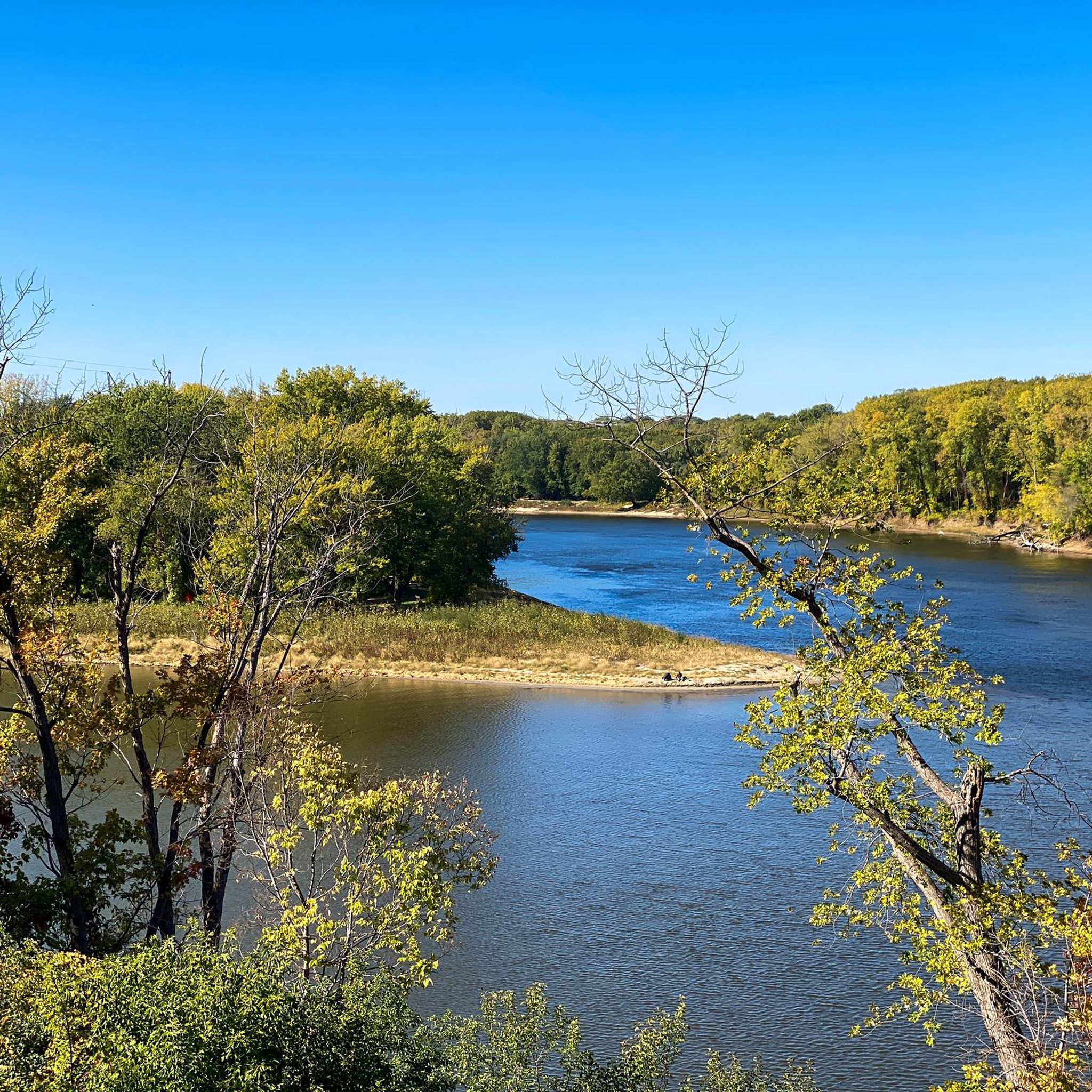
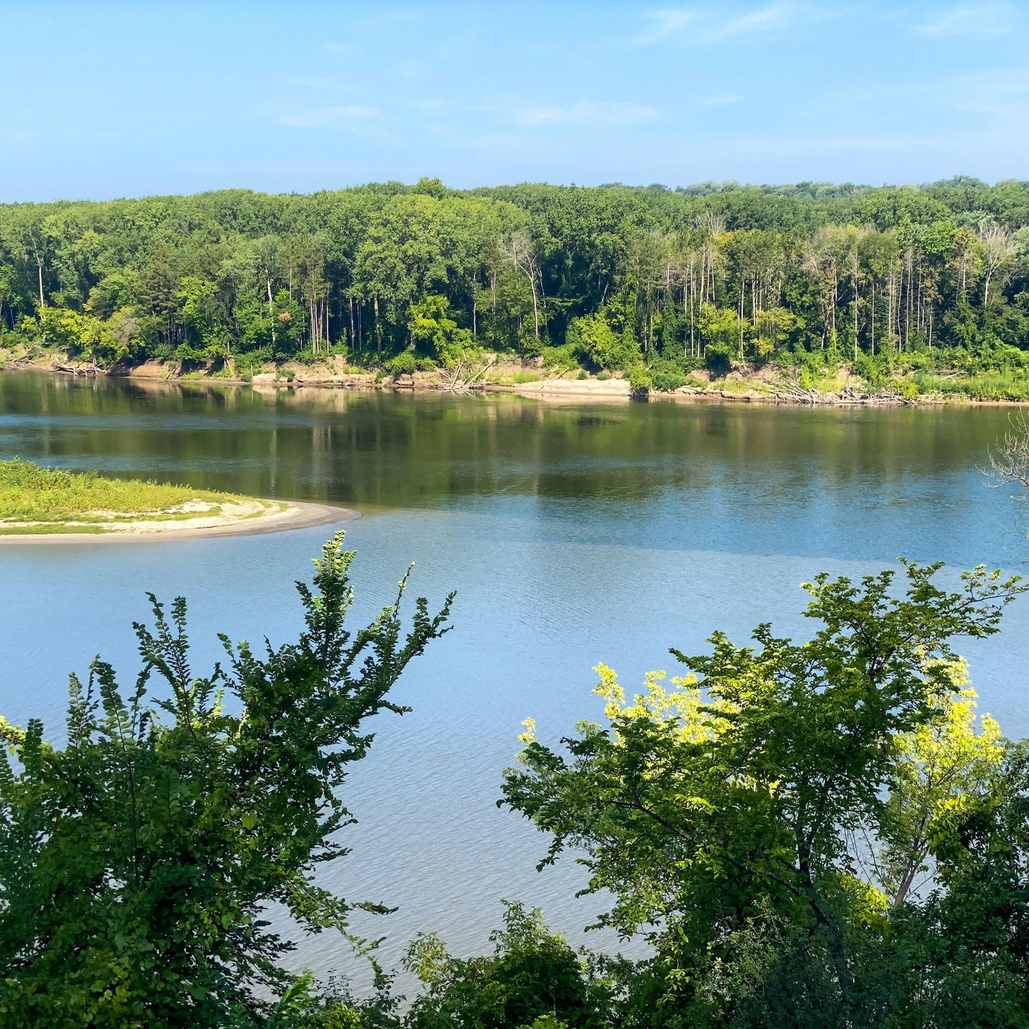
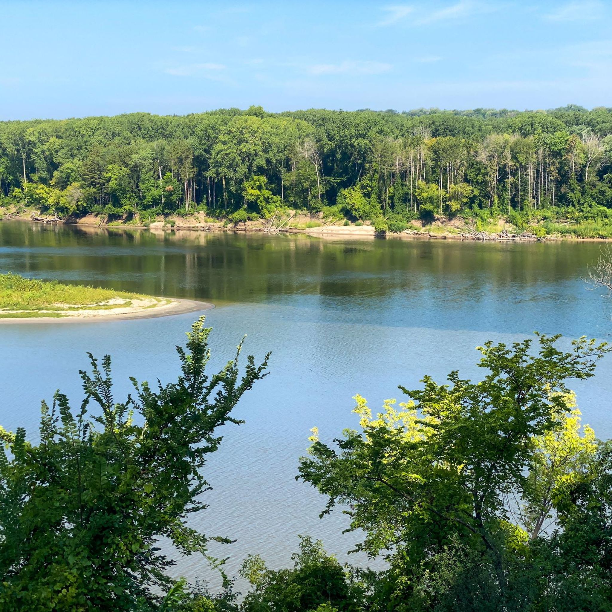
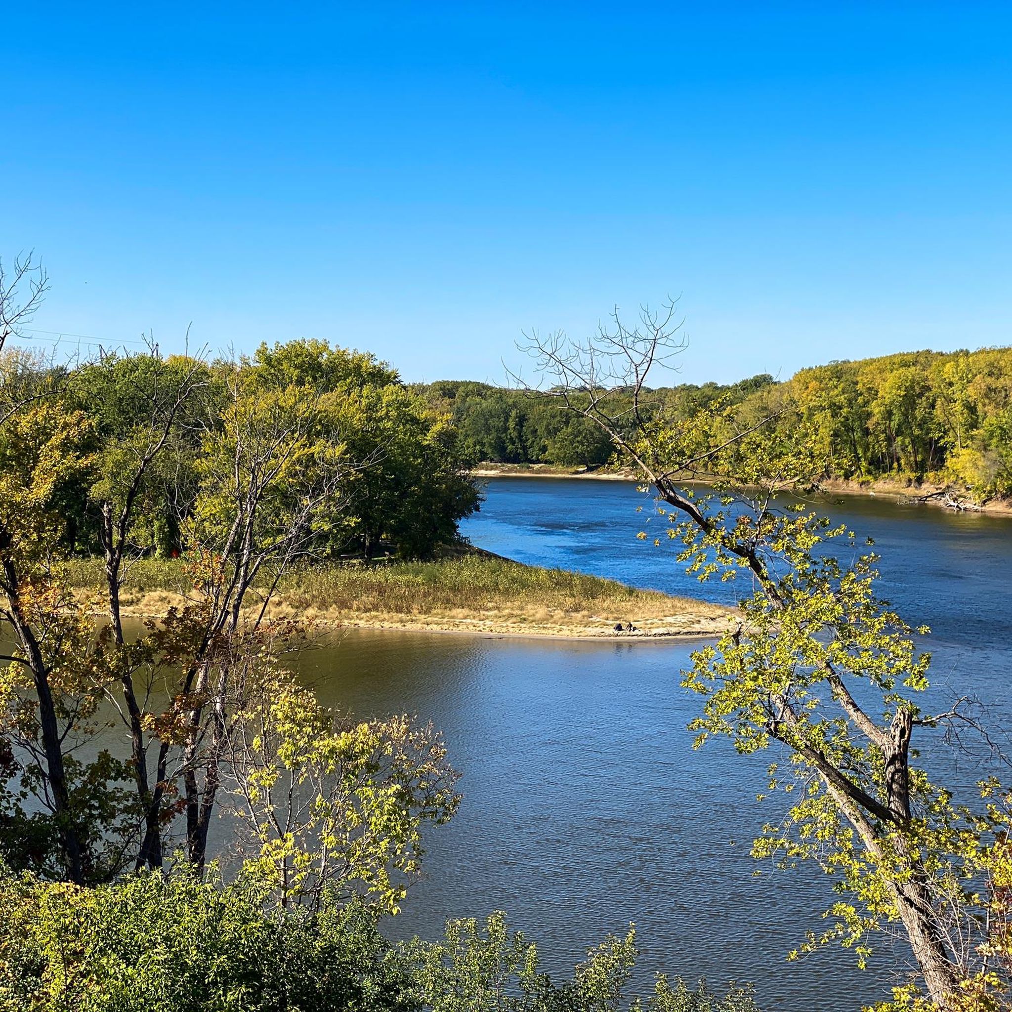
This is a spot along the Big Rivers Regional Trail with benches where you can sit and admire the Mississippi River flowing by. Just a few meters away, you can also see the confluence with the Minnesota River.
0
0

Lucky's, "Where strangers become friends, and friends become family." Established in 2007, Lucky's 13 Pub has a history rooted in the success of its founders, Charlie Burrows and Linda Young, who also created Axel's Restaurant, located immediately next door, in 1996. Unfortunately, Axel's permanently closed its doors in September 2024, after 29 years of continuous operation. Thankfully, Lucky's continues to thrive. The name "Lucky's 13" directly references Highway 13 in Mendota, Minnesota, where Axel's and Lucky's 13 Pub were first established. The founders considered Highway 13 "lucky" for their business ventures. Lucky's is situated along both the Mississippi River Regional Trail and the MRT (Mississippi River Trail), which stretches from Lake Itasca in northern Minnesota to New Orleans near the mouth of the Mississippi River in the Gulf of Mexico. It provides a refreshing stop and a place to rest for tired and thirsty travelers.
2
0
Here is a link to a Minnesota Department of Natural Resources map of summer trails at Fort Snelling State Park (https://files.dnr.state.mn.us/maps/state_parks/spk00154_summer.pdf). Although bicycles are allowed on many of the park trials, the legend on the map shows, sadly, that the circumferential trail on Pike Island is for hiking only.
0
0

at the tip of Pike Islands a very nice packed Earth bike route around this little Island
0
0
Frequently Asked Questions
How many hiking trails are available in Lilydale?
Lilydale offers a wide selection of outdoor experiences, with over 90 hiking routes to explore. The majority of these, around 74, are considered easy, making the area accessible for various skill levels.
Are there easy hiking trails suitable for beginners or families in Lilydale?
Yes, Lilydale is very accommodating for beginners and families. Many trails, such as the Pike Island loop — Fort Snelling State Park, are considered easy and accessible for all fitness levels. The park's diverse landscape includes low-lying paths and the Lilydale Regional Trail loop, which are great options for a relaxed outing.
Can I find circular hiking routes in Lilydale?
Absolutely. Many of the trails in Lilydale are designed as loops, offering convenient circular walks. Examples include the Pike Island loop, the Harriet Island & Cherokee Regional Parks loop, and the Crosby Farm Regional Park loop, allowing you to start and end at the same point.
Are there any waterfalls to see while hiking in Lilydale?
While Lilydale Regional Park itself is known for its river views and bluffs, a small waterfall can be encountered along some trails within the park. For a more prominent waterfall experience, Minnehaha Falls is a notable natural monument nearby that you might consider visiting.
What are some interesting historical or natural landmarks to explore in Lilydale?
Lilydale offers a blend of natural beauty and historical intrigue. You can explore The Brickyards, a historically significant area with remnants of old brickyard ovens carved into the hillside. Nature enthusiasts will appreciate the Confluence of the Mississippi and Minnesota Rivers, Pickerel Lake, and the scenic Summit Overlook Park for panoramic views.
What do other hikers enjoy most about hiking in Lilydale?
The area is highly rated by the komoot community, with an average score of 4.3 stars from over 40 reviews. Hikers often praise the diverse landscapes, including the Mississippi River views, expansive floodplain forests, and bluffs, as well as the variety of paths suitable for different ability levels.
Is Lilydale a good place for birdwatching?
Yes, Lilydale Regional Park is recognized as an excellent spot for birdwatching. Its diverse habitats, including wetlands, floodplain forests, and proximity to the Mississippi River, attract a variety of bird species, making it a rewarding destination for bird enthusiasts.
Are there any trails suitable for winter hiking in Lilydale?
Yes, some trails are particularly suitable for winter conditions. For example, the Pike Island Winter Trail loop — Fort Snelling State Park offers views of the river landscape and is a popular choice for hikers during the colder months.
Are there good viewpoints along the hiking trails in Lilydale?
Absolutely. For panoramic vistas of the Mississippi River, Vento's View Overlook is a particularly dramatic spot. Many bluff-side paths throughout Lilydale Regional Park also offer elevated vantage points over the river and surrounding natural areas.
What is the typical duration for hikes in Lilydale?
Hike durations in Lilydale vary depending on the route and your pace. Many popular trails, such as the Pike Island loop (3.7 miles), can be completed in about 1 hour 30 minutes. Longer routes like the Harriet Island & Cherokee Regional Parks loop (4.3 miles) might take closer to 1 hour 50 minutes.
Is there public transport access to Lilydale hiking trails?
Lilydale Regional Park is located within Saint Paul, Minnesota, and is generally accessible via public transport options within the city. For specific routes and schedules, it's best to check the local public transportation authority's website for the most up-to-date information on bus routes serving the park area.
Where can I find parking for hikes in Lilydale?
Lilydale Regional Park provides designated parking areas for visitors. Specific parking locations can be found at various access points to the park and its trailheads. It's advisable to consult maps or local park information for the most convenient parking for your chosen starting point.
Most popular attractions around Lilydale

Get inspired with the komoot mobile app


Explore more
Browse the best Hikes in other regions.
