The best cycling routes in the Bavarian Forest
4.6
(31825)
164,124
riders
7,593
rides
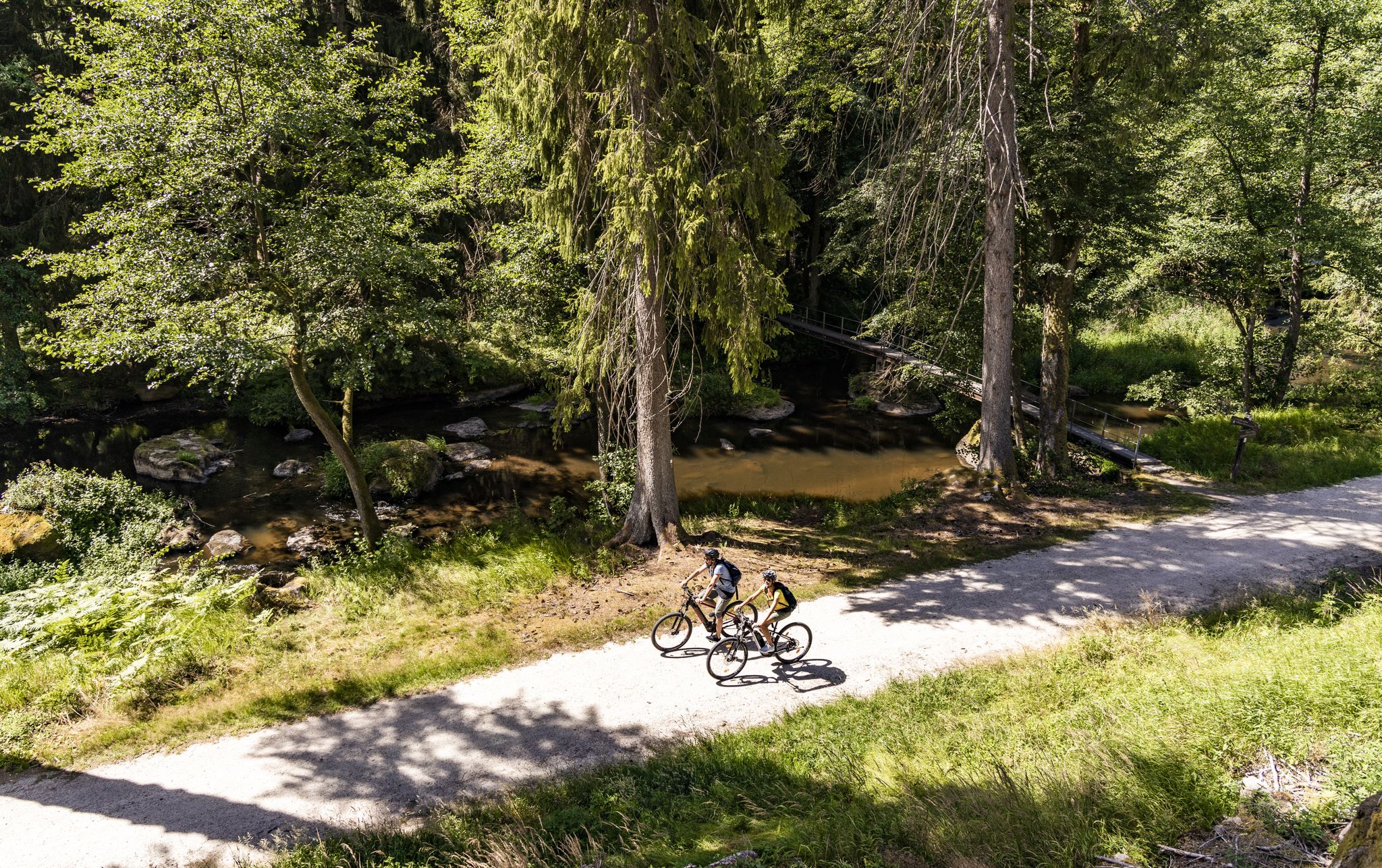
Touring cycling in the Bavarian Forest offers an extensive network of routes through a diverse natural region along the German-Czech border. This area is characterized by low-mountain range forests, rolling hills, and river valleys, including the largely natural valleys of the Regen and Ilz rivers. The geological makeup features granite and gneiss hills, with significant peaks such as the Großer Arber, the highest mountain in the Bavarian Forest at 1,456 meters (4,777 feet). The region also encompasses Germany's first national park, the Bavarian Forest National Park, providing dedicated cycling routes amidst ancient trees and natural landscapes.
Best touring cycling routes in the Bavarian Forest
- The most popular touring cycling route is Across the Upper Palatinate Lake District, a 37.3 miles (60.0 km) trail that takes 4 hours 6 minutes to complete. This moderate route navigates through varied landscapes, including lake districts.
- Another top favourite among local touring cyclists is Short loop of the lakes, a moderate 27.4 miles (44.1 km) path. This route offers scenic views around the region's lakes, ideal for a shorter excursion.
- Local touring cyclists also love the Panorama loop, a 36.9 miles (59.4 km) trail leading through diverse terrain with elevation changes, often completed in about 4 hours 27 minutes.
- Touring cycling in the Bavarian Forest is defined by low-mountain range forests, river valleys, and rolling hills. The network offers options for different ability levels, from family-friendly railway cycle paths to more challenging routes with significant climbs.
- The routes in Bavarian Forest are highly rated by the komoot community with an average score of 4.6 stars from over 29,000 reviews. More than 157,000 touring cyclists have used komoot to explore Bavarian Forest's varied terrain.
Last updated: July 7, 2026
4.7
(201)
742
riders
60.0km
04:06
350m
350m
Moderate bike ride. Good fitness required. Mostly paved surfaces. Suitable for all skill levels.
4.6
(113)
453
riders
44.1km
02:53
160m
160m
Moderate bike ride. Good fitness required. Mostly paved surfaces. Suitable for all skill levels.

Sign up for free
4.8
(85)
359
riders
59.4km
04:27
560m
560m
Hard bike ride. Very good fitness required. Mostly paved surfaces. Suitable for all skill levels.
4.7
(84)
408
riders
29.1km
02:22
660m
660m
Hard bike ride. Very good fitness required. Some segments of this route may be unpaved and difficult to ride.
4.8
(41)
183
riders
105km
06:40
570m
610m
Hard bike ride. Very good fitness required. Mostly paved surfaces. Suitable for all skill levels.
Get access to more routes and recommendations from other explorers.
Sign up for free
Already have an account?
Our route recommendations are based on thousands of hikes, rides, and runs completed by other people on komoot.
Start today with a free account
Your next adventure awaits.
Login or Signup
Popular around Bavarian Forest
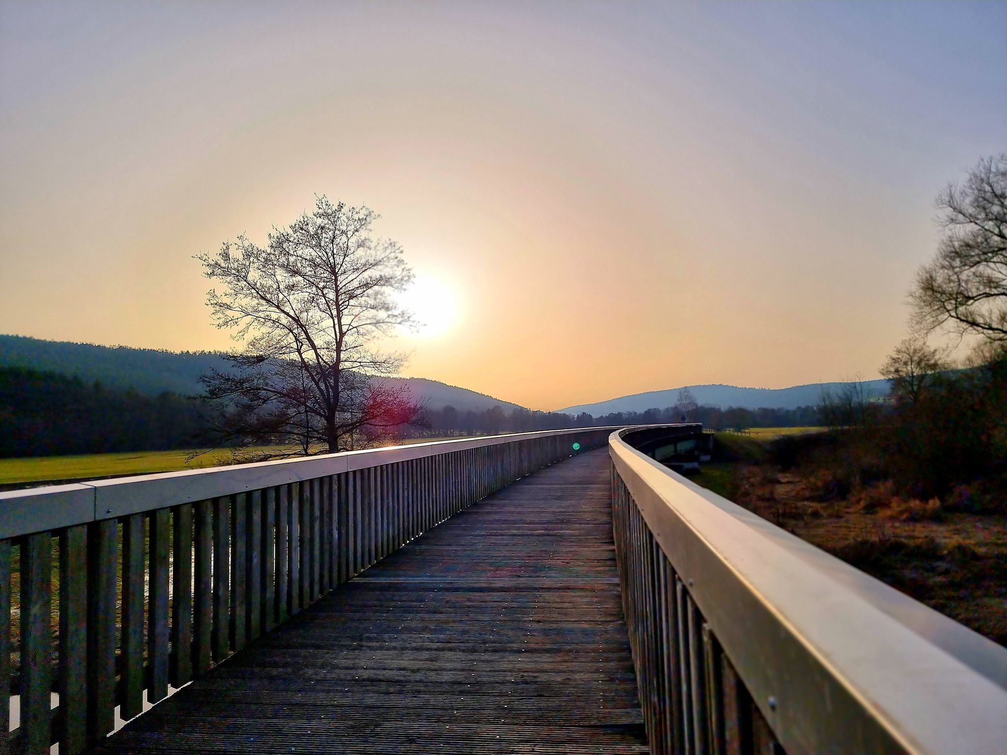
Bavaria-Bohemia long-distance cycling trail – Crossing borders
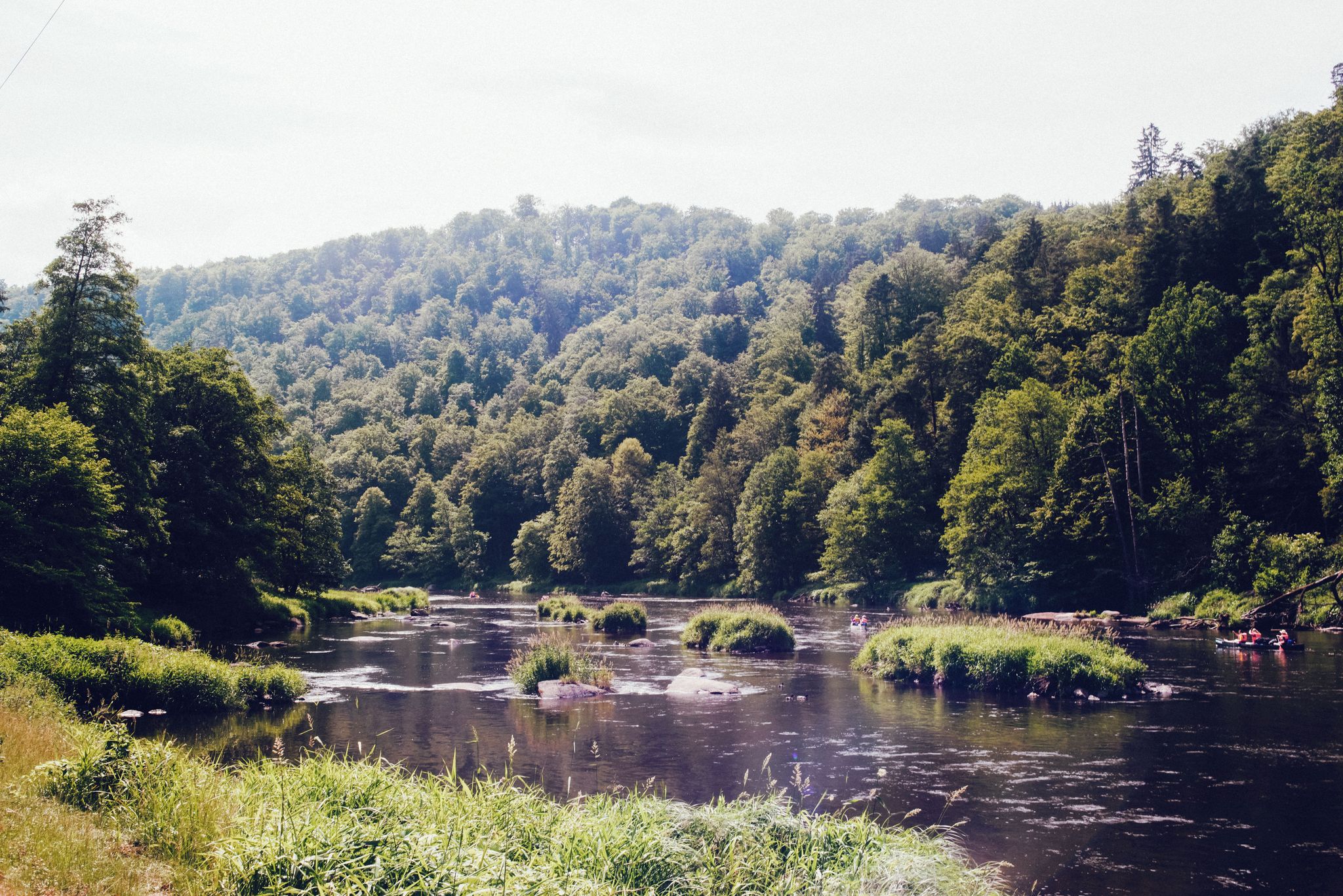
The Rain valley cycle path — 4 days through the Bavarian Forest
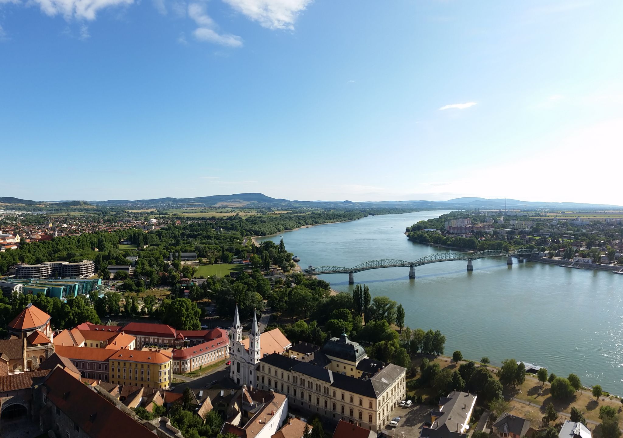
The Danube Cycle Path – From Donaueschingen to Budapest
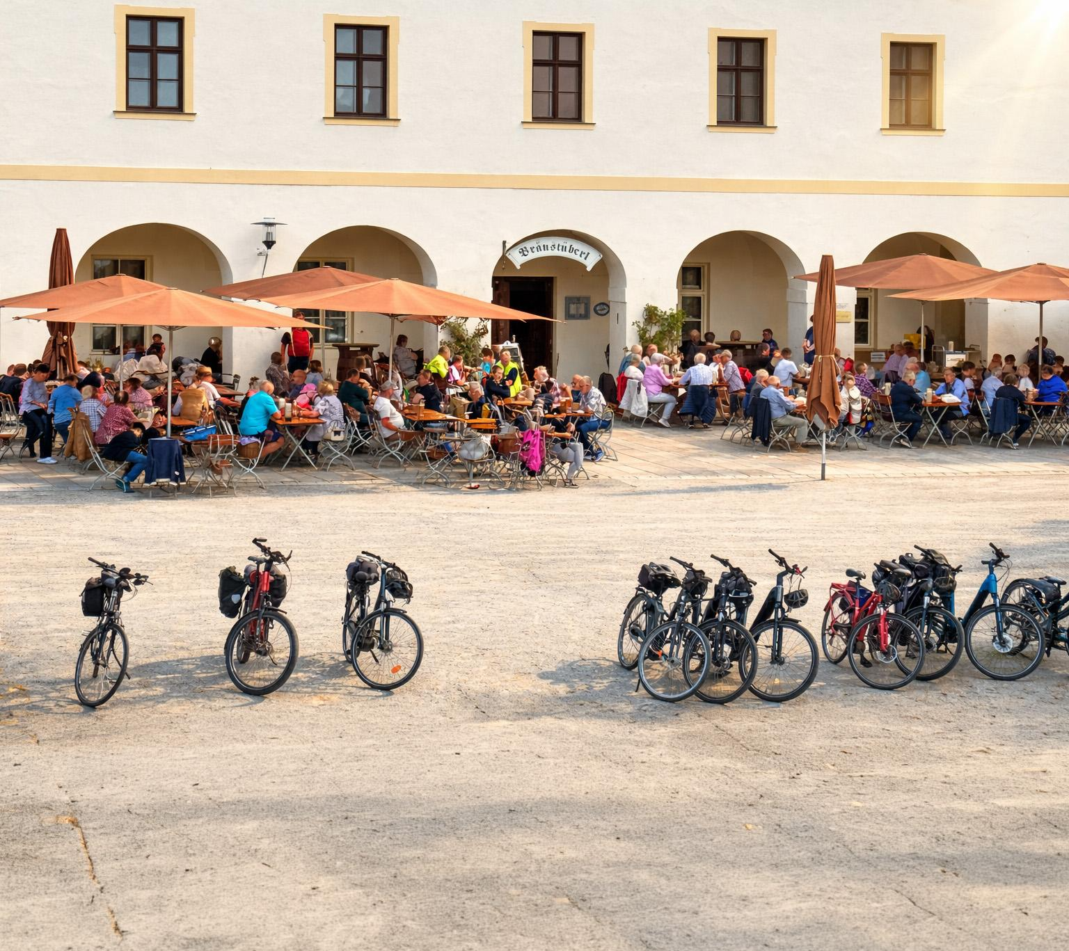
Beer culture on two wheels – 3 multi-day routes, 2 countries, 1 pulse
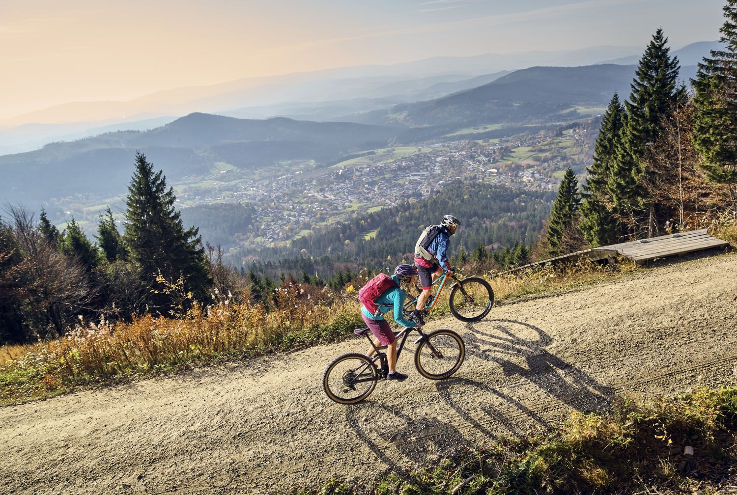
Exciting cycle and (e)-mountain bike Tours in the Bavarian Forest
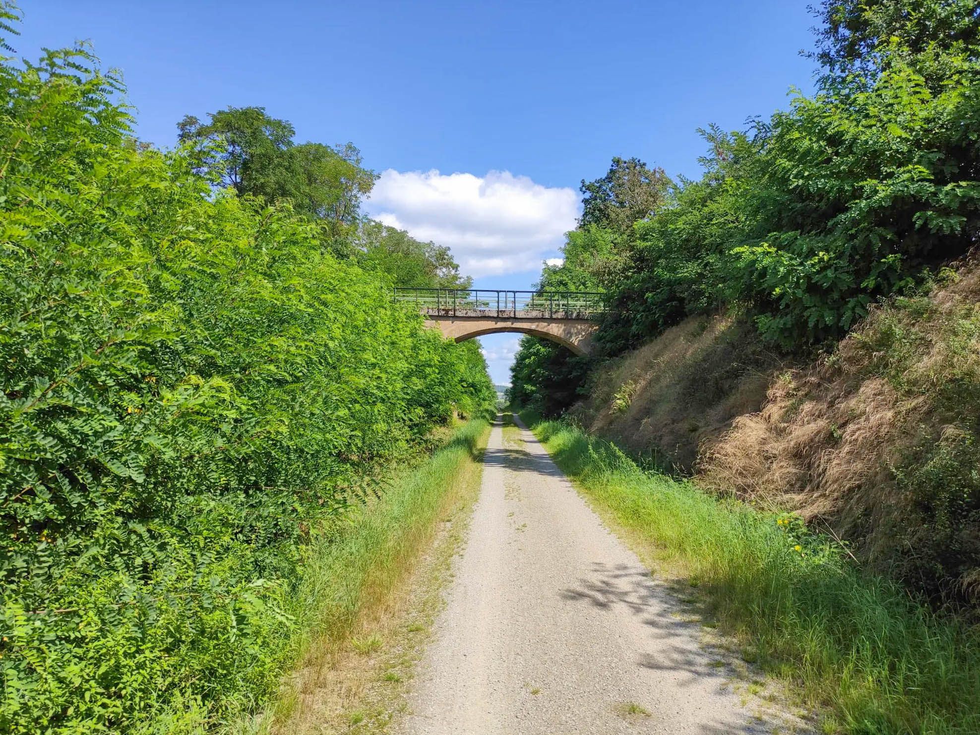
Cycling on the Bavarian-Bohemian Friendship Trail
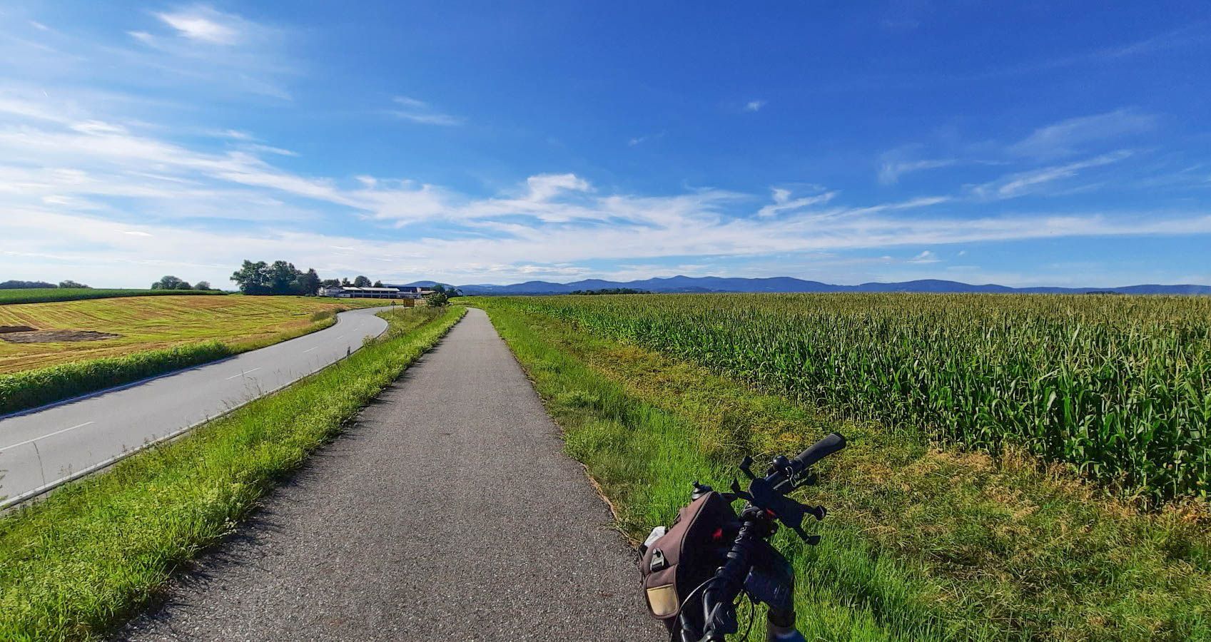
From river to river on the Danube-Ilz Cycle Path
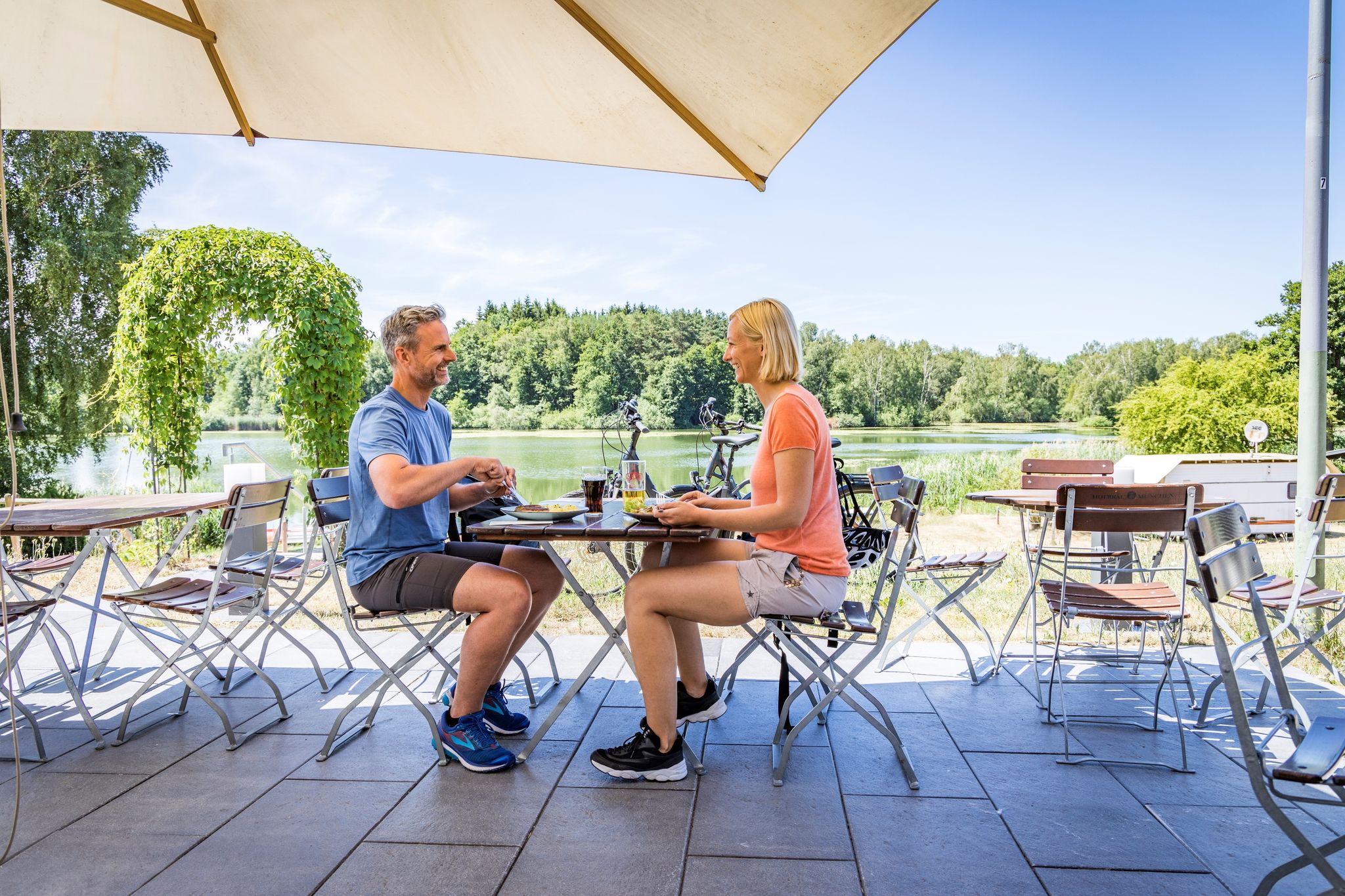
Cycling to the Inn – fun Tours in the Upper Palatinate Forest
Your cycling adventure in the Upper Palatinate – Oberpfälzer Radl-Welt
A cycling adventure from Paris to Prague – Pan-European Cycle Route
Other adventures in the Bavarian Forest


Tips from the Community

Wonderful stretches of trail in a magnificent area
1
0

Lake Steinberger Lake Steinberger is part of the Upper Palatinate Lake District and, with an area of 1.84 km², is the largest lake in the Upper Palatinate. It was named after the municipality of Steinberg am See. It is 1.98 km long, 1.4 km wide, and has a maximum depth of 50 meters. The Schreckerbach stream feeds and drains the lake. After the Bavarian lignite industry ceased mining operations in the mid-1980s, the open-cast mine "Steinberger See" was flooded by reducing the water level. Remaining mining equipment was demolished and still lies on the lakebed. Two small, wooded islands also remain, which now divide the lake into a northern and a southern section. In the following decades, tourism developed at Lake Steinberger, bringing a degree of economic growth to the region. In addition to the Steinberger Yacht Club (SYC), founded in 1987, the area now boasts a sailing school, a water ski lift, a boat rental, a leisure park for families and children, a surf club, and most recently, an adventure golf course and a roughly 40-meter-high wooden "adventure sphere" with viewing platforms, an obstacle course, and a giant slide. Numerous restaurants, inns, and cafés complement the leisure offerings. A water rescue station has been established for the safety of visitors. Due to the increasing improvement in water quality and visibility in recent years, Lake Steinberger has become one of the most popular diving areas in the Upper Palatinate. Like all lakes in the Upper Palatinate Lake District, which originated from lignite mines, the water is acidic due to leaching. Because of the ongoing improvement in water quality, fish populations are steadily increasing. Perch and the occasional pike have been observed most frequently. The water is very clean; on windless days, visibility is possible to a depth of at least 10 meters. Occasionally, the tops of dead trees can be seen on the bottom. According to the ordinance issued by the Schwandorf District Office on August 8, 2002, the entire Steinberger See is open for diving. Especially in summer and winter, very good visibility (up to 20 meters) has been possible in recent years. Source: Excerpts from www.wikipedia.de
4
0

Good connections and signage for drivers, but somewhat more difficult to reach for cyclists as not all paths are suitable for bikes. Good parking facilities for cars.
0
0

The medieval town of Nabburg, with its architecture, offers a glimpse into times long past. The historic old town and the almost completely intact town wall, with its Mähntor and Obertor gates, are landmarks of the town's medieval importance. The Dean's Tower, the Old Town Hall, the Citizens' Hospital, the parish church, the Powder Tower, the castle courtyard, the Schmidt House, and the Zehenstadel (tithe barn) are further testaments to the past. It's well worth taking a leisurely stroll through the town. A large part of Nabburg's old town is a listed historical monument. Virtually every building here is worth seeing. A walk through the Lower and Upper Market Squares to the 13th-century Catholic parish church of St. John the Baptist, the Gothic Obertor gate, and Nabburg Castle is highly recommended. A beautiful walking path also leads along the town wall outside the town, offering magnificent views of the Naab Valley. https://de.wikivoyage.org/wiki/Nabburg https://www.nabburg.de/tourismus-kultur/auf-einen-blick/sehenswuerdigkeiten/#historische-altstadt
3
0


Beautiful path around the lake, unfortunately a bit crowded in summer
2
0

The two-part fountain symbolizes art on the one hand and the waterway on the other. Both could stand alone, but together they form a symbiotic relationship through their blending forms. Source: https://www.bodenwoehr.de/freizeit-tourismus/kunst-und-wasserweg/
1
0

A wonderful view here.
3
0
Frequently Asked Questions
How many touring cycling routes are available in the Bavarian Forest?
The Bavarian Forest offers an extensive network of over 7,600 touring cycling routes. This includes a wide range of options, from easy paths to more challenging trails, catering to various skill levels.
What is the best time of year for touring cycling in the Bavarian Forest?
The best time for touring cycling in the Bavarian Forest is typically from spring to autumn. During these seasons, the weather is generally pleasant, and the diverse landscapes, including forests, meadows, and river valleys, are at their most vibrant. Summer offers warm conditions, while spring and autumn provide cooler temperatures and beautiful foliage.
What kind of terrain can I expect on touring cycling routes in the Bavarian Forest?
The Bavarian Forest features diverse terrain, ranging from low-mountain range forests and rolling hills to deep valleys and babbling streams. You'll find routes on smooth gravel roads, dedicated cycle paths, and some more challenging sections with significant elevation changes. The region's geological makeup includes granite and gneiss hills, offering varied landscapes for exploration.
Are there routes suitable for beginners or families with children?
Yes, the Bavarian Forest offers many routes suitable for beginners and families. A unique highlight are the numerous railway cycle paths built on disused railway lines, such as sections of the Falkenstein-Radweg or the Donau-Regen-Radweg. These paths are often mostly flat and provide a family-friendly experience, passing by old bridges and historical structures. Overall, there are nearly 1,500 easy routes available.
Are there any circular touring cycling routes in the Bavarian Forest?
Yes, many touring cycling routes in the Bavarian Forest are designed as loops, allowing you to start and end at the same point. An example is the Short loop of the lakes, a moderate 44.1 km path offering scenic views around the region's lakes. Another option is the Panorama loop, a more challenging 59.4 km trail with diverse terrain and elevation changes.
What natural attractions can I see along the touring cycling routes?
The Bavarian Forest is rich in natural beauty. Along your routes, you might encounter impressive low-mountain range forests, river valleys like those of the Regen and Ilz, and serene lakes such as Rachelsee and Großer Arbersee. Notable natural wonders include the 200-meter-high Riesloch Falls and the waterfalls within the Steinklamm Gorge. The region is also home to significant peaks like the Großer Arber, offering breathtaking views.
Are there historical sites or landmarks to explore while cycling?
Yes, the region offers several historical sites. You can explore various castle ruins, such as Schwarzenburg Castle Ruins, Schellenberg Castle Ruins and Observation Tower, or Leuchtenberg Castle Ruins. Railway cycle paths often pass by old bridges and former train stations, blending natural beauty with industrial heritage. Many small, walkable villages also provide a charming backdrop for exploration.
Can I bring my dog on touring cycling routes in the Bavarian Forest?
Many touring cycling routes in the Bavarian Forest are dog-friendly, especially those on wider paths and forest roads. However, it's always advisable to check local regulations, particularly within the Bavarian Forest National Park, regarding leash requirements and restricted areas to ensure a pleasant experience for both you and your dog.
What do other touring cyclists enjoy most about the Bavarian Forest?
The Bavarian Forest is highly rated by the komoot community, with an average score of 4.6 stars from over 29,000 reviews. Cyclists often praise the region's diverse landscapes, the extensive network of well-maintained paths, and the opportunity to explore both challenging climbs and relaxed, family-friendly routes. The natural beauty and tranquility of the forests are frequently highlighted.
How can I get to the starting points of the touring cycling routes?
Many starting points for touring cycling routes in the Bavarian Forest are accessible by car, with various parking options available in towns and near popular trailheads. Additionally, the region has public transport connections, including regional trains and buses, which can help you reach certain areas. Some routes, like the Naabtal cycle route, might be easily accessible via public transport hubs.
Are there any unique experiences in the Bavarian Forest besides cycling?
Absolutely! Beyond cycling, you can explore the Geißkopf Summit and Bike Park for mountain biking, or visit the Treetop Walkway (Baumwipfelpfad), one of Europe's longest, offering panoramic views. The National Park also features wildlife parks where you can observe native fauna like lynx and wolves. Cultural experiences include glass-blowing classes, the Schnapps Museum, and beer-inspired spas.
What are the difficulty levels of the touring cycling routes in the Bavarian Forest?
The Bavarian Forest offers a wide range of difficulty levels. Out of over 7,600 routes, nearly 1,500 are considered easy, making them suitable for casual riders or families. There are also over 3,200 moderate routes and about 2,900 difficult routes for those seeking more challenging climbs and longer distances. An example of a more challenging route is Cycling to the shafts, which features significant elevation changes.
Most popular routes in the Bavarian Forest
Most popular attractions in the Bavarian Forest

Get inspired with the komoot mobile app


Explore more
Browse the best Cycling routes in other regions.
