Easy hikes and walks in the Bavarian Forest
4.6
(96168)
376,134
hikers
14,529
hikes
Easy hiking trails in the Bavarian Forest traverse a captivating low-mountain range characterized by ancient forests, rolling hills, and granite formations. This region, bordering the Czech Republic, features dense woodlands primarily composed of spruce, silver fir, and beech trees. Crystal-clear streams and river valleys, such as those of the Regen and Ilz, carve through the landscape, offering varied terrain for hikers. The area encompasses the Bavarian Forest National Park, Germany's first national park, dedicated to preserving its natural environment.
Best easy hiking trails in the Bavarian Forest
- The most popular easy hiking route is The boulder – finding peace trails from Floß, a 5.1 miles (8.3 km) trail that takes 1 hour 49 minutes to complete. This route offers gentle elevation changes through peaceful forest landscapes.
- Another top favourite among local hikers is Friedrich-Nietzsche-Wanderweg, an easy 3.2 miles (5.2 km) path. This trail features varied forest paths and open sections, providing a mix of scenery.
- Local hikers also love the Stone Fountain – Trifter Inn Schwellhäusl loop from Zwieslerwaldhaus, a 4.5 miles (7.2 km) trail leading through dense woodlands and along waterways, often completed in about 1 hour 58 minutes.
- Hiking in the Bavarian Forest is defined by ancient forests, rolling hills, and clear streams. The extensive network of easy hiking trails offers options for different ability levels, including family-friendly excursions.
- The routes in Bavarian Forest are highly rated by the komoot community with an average score of 4.6 stars from more than 88,000 reviews. More than 350,000 hikers have used komoot to explore Bavarian Forest's varied terrain.
Last updated: July 7, 2026
4.7
(707)
3,791
hikers
1.88km
00:30
20m
20m
Easy hike. Great for any fitness level. Easily-accessible paths. Suitable for all skill levels.
4.6
(62)
191
hikers
5.23km
01:36
170m
180m
Easy hike. Great for any fitness level. Easily-accessible paths. Suitable for all skill levels.

Sign up for free
4.7
(84)
239
hikers
8.26km
01:49
140m
140m
Easy hike. Great for any fitness level. Easily-accessible paths. Suitable for all skill levels.
4.7
(37)
120
hikers
3.08km
00:50
40m
40m
Easy hike. Great for any fitness level. Easily-accessible paths. Suitable for all skill levels.
4.8
(28)
134
hikers
2.96km
00:52
80m
80m
Easy hike. Great for any fitness level. Easily-accessible paths. Suitable for all skill levels.
Get access to more routes and recommendations from other explorers.
Sign up for free
Already have an account?
Our route recommendations are based on thousands of hikes, rides, and runs completed by other people on komoot.
Start today with a free account
Your next adventure awaits.
Login or Signup
Popular around Bavarian Forest

Nordwaldkamm trail – Hiking between the Czech Republic and Austria
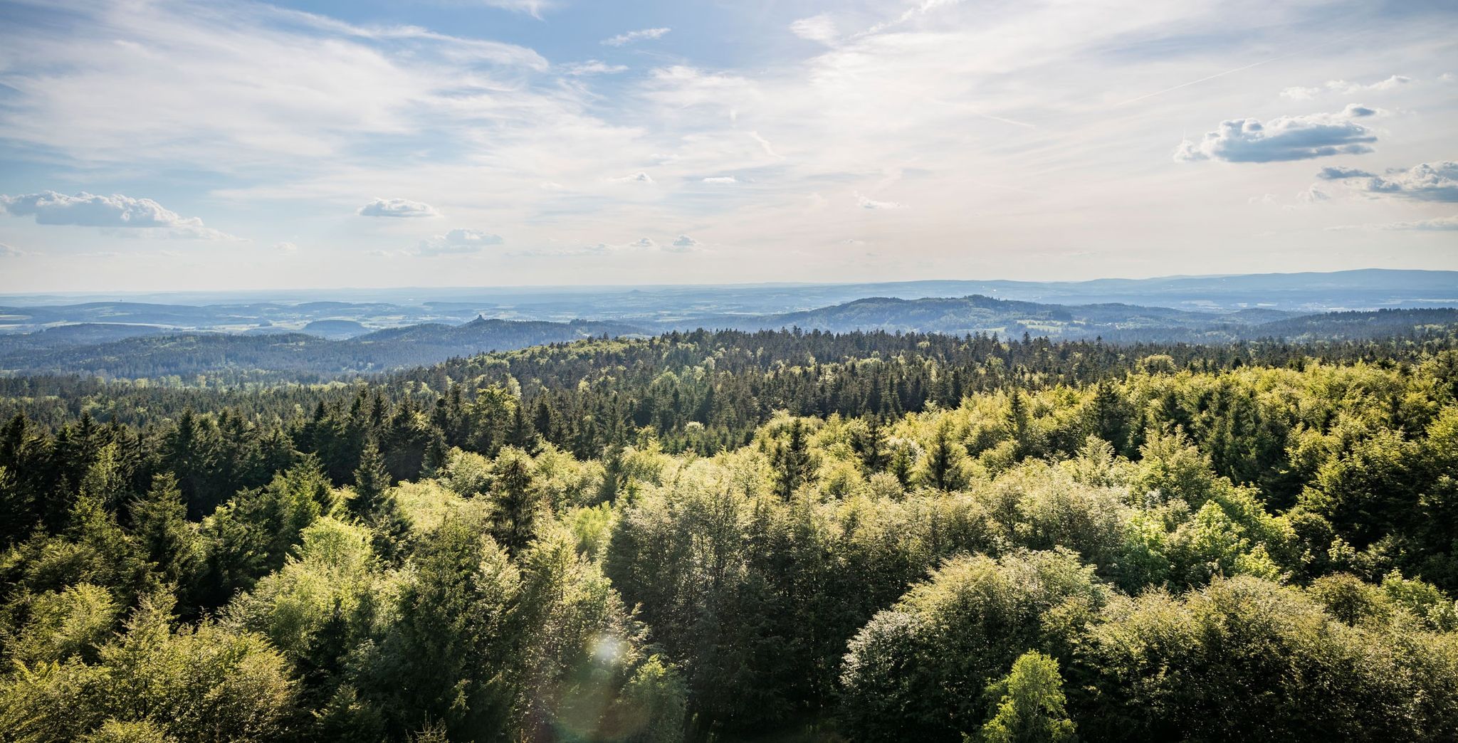
Nurtschweg – Hiking along the German-Czech border

The Goldsteig – 38 stages between Upper Palatinate and Passau
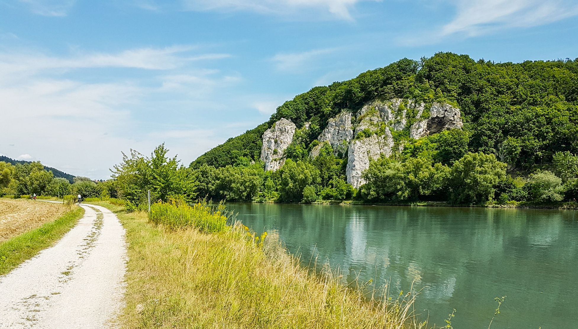
Donau-Panoramaweg – 10 days nature views and cultural insights

Goldsteig — The best routes for long distance hiking in Eastern Bavaria
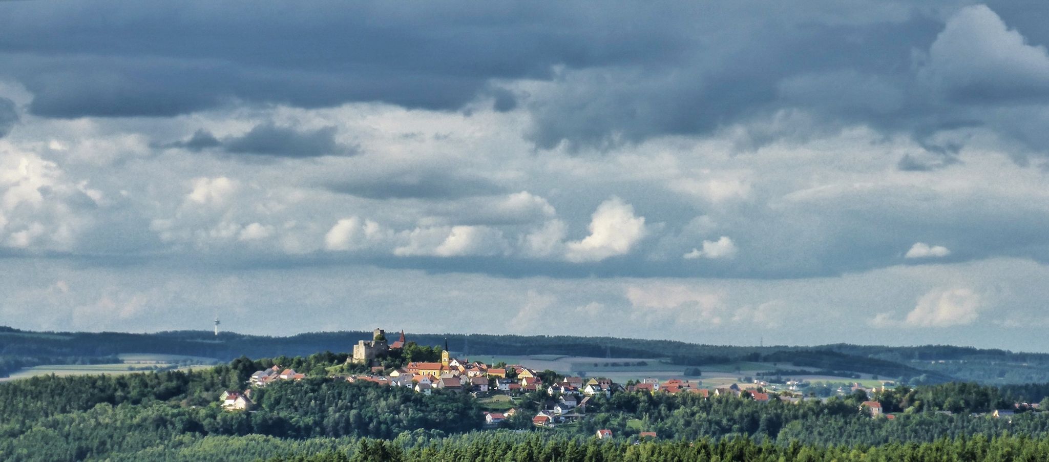
The Upper Palatinate Castle Trail — 9 days in picturesque northern Bavaria

Run Wilder – six trail runs in Germany with the HOKA Speedgoat 7

The National Natural Landscapes in Bavaria

How refreshing! Trails by the water in the Upper Palatinate Forest

Hiking through Bavaria's cultural landscapes
Other adventures in the Bavarian Forest


Tips from the Community

Spectacular tree giants and deadwood
0
0

A beautiful circular route even in the rain
0
0

Free parking is available. There is a public restroom and a baby changing room.
1
0

Great hiking trail around the lake
0
0

Good starting point for tours
1
0

Even in winter, the water ripples here. The many icicles are beautiful to look at.
0
0

Frozen Arbersee (large)
0
2

Very nice! Totally relaxing! 😊
0
0
Frequently Asked Questions
How many easy hiking trails are available in the Bavarian Forest?
The Bavarian Forest offers a vast network of easy hiking trails, with over 7,100 routes specifically categorized as easy. This ensures a wide variety of options for all skill levels.
What kind of terrain can I expect on easy hikes in the Bavarian Forest?
Easy hikes in the Bavarian Forest typically traverse ancient forests, rolling hills, and granite formations. You'll encounter dense woodlands, often composed of spruce, silver fir, and beech trees, alongside crystal-clear streams and river valleys. Many paths are well-maintained, offering gentle elevation changes through peaceful natural landscapes.
What do other hikers enjoy most about the easy trails in the Bavarian Forest?
The easy trails in the Bavarian Forest are highly rated by the komoot community, with an average score of 4.6 stars from over 88,000 reviews. Hikers frequently praise the peaceful forest landscapes, varied scenery, and the opportunity to explore dense woodlands and waterways. The region's natural beauty and well-marked paths are often highlighted.
Are there family-friendly easy hikes in the Bavarian Forest?
Yes, the Bavarian Forest is an excellent destination for families. Many easy trails are suitable for all ages, including shorter, exciting hikes like those found near the Sonnenwald-Erlebnispfad, which offers an engaging experience for younger adventurers. The region also features trails like the Rachelsee Loop and the Lusen Summit Trail, which are popular with older children.
Are there any easy circular hiking routes in the Bavarian Forest?
Yes, many easy trails in the Bavarian Forest are designed as circular routes, allowing you to start and end at the same point. A popular option is the Stone Fountain – Trifter Inn Schwellhäusl loop from Zwieslerwaldhaus, which leads through dense woodlands and along waterways.
What natural attractions can I see along easy hiking trails?
The Bavarian Forest is rich in natural beauty. On easy hikes, you can discover stunning features like the Riesloch Falls, the largest natural waterfall area in the region, or the Lower Riesloch Falls. Some trails also lead to unique high-altitude clearings known as 'Schachten', which are like islands within the forest.
Are there easy hikes that feature viewpoints or scenic vistas?
While many easy trails focus on forest immersion, some offer rewarding views. For panoramic vistas, you might consider routes that provide glimpses of the higher peaks like Großer Arber Summit or Lusen Summit from a distance, or trails that open up to river valleys and rolling hills.
Can I bring my dog on easy hikes in the Bavarian Forest?
Many easy hiking trails in the Bavarian Forest are dog-friendly, allowing you to explore with your canine companion. It's always recommended to keep dogs on a leash, especially within the Bavarian Forest National Park, to protect wildlife and ensure a pleasant experience for all hikers. Always check specific trail regulations before you go.
What is the best time of year for easy hikes in the Bavarian Forest?
The Bavarian Forest offers beautiful hiking opportunities throughout the year. Spring brings lush greenery and blooming wildflowers, while summer provides warm weather perfect for exploring. Autumn transforms the forests with vibrant colors, and even in winter, lower areas of the National Park offer rolled or cleared winter hiking trails, suitable for easy walks or snowshoeing.
Are there easy hikes with options for refreshments or places to eat nearby?
Yes, some easy hiking routes in the Bavarian Forest have cafes or traditional inns (Gasthäuser) located conveniently along or near the trail. For example, the Stone Fountain – Trifter Inn Schwellhäusl loop from Zwieslerwaldhaus passes by the Trifter Inn Schwellhäusl, offering a chance to refuel during your walk.
How long do easy hikes in the Bavarian Forest typically take?
The duration of easy hikes varies depending on the distance and your pace. Many easy routes, like the The boulder – finding peace trails from Floß (8.3 km), can be completed in under two hours. Shorter trails, such as the Ant Trail - Easy Tour around Zwieslerwaldhaus (3.1 km), take around an hour.
Are there any less crowded easy trails in the Bavarian Forest?
While popular spots can attract visitors, the extensive network of trails means you can often find quieter paths. Exploring trails slightly off the main tourist hubs or visiting during off-peak hours can lead to a more serene experience. Look for routes that are not explicitly highlighted as major attractions to discover hidden gems.
Most popular routes in the Bavarian Forest
Most popular attractions in the Bavarian Forest

Get inspired with the komoot mobile app


Explore more
Browse the best Hikes in other regions.
