The best hikes from bus stations in the Bavarian Forest
4.6
(97698)
382,415
hikers
8,240
hikes
Bus station hiking trails in the Bavarian Forest navigate a landscape characterized by dense, ancient forests, rolling mountains, and deep valleys. The region features granite and gneiss hills, with prominent peaks such as Großer Arber and Rachel. Hikers can explore unique geological formations like the "Pfahl" quartz rock and discover picturesque lakes and bogs. This area offers a diverse natural environment for outdoor exploration.
Best bus station hiking trails in the Bavarian Forest
- The most popular bus station hiking route is On the Lusen via Teufelsloch and Himmelsleiter, a 7.6 miles (12.2 km) trail that takes 3 hours 56 minutes to complete. This moderate route ascends to the Lusen peak, passing through the Teufelsloch.
- Another top favourite among local hikers is Nationalpark compact - Tour through the animal free-range area, a moderate 5.3 miles (8.6 km) path. This trail offers an opportunity to observe wildlife within the national park's free-range area.
- Local hikers also love the To the Rachel: Peak, Chapel and Lake, a 6.9 miles (11.2 km) trail leading through forested terrain to Rachel Peak, often completed in about 3 hours 43 minutes.
- Hiking in the Bavarian Forest is defined by ancient forests, rolling mountains, and unique geological formations. The extensive network of trails offers options for various ability levels, from easy paths to more challenging summit ascents.
- The routes in Bavarian Forest are highly rated by the komoot community with an average score of 4.6 stars from over 12,000 reviews. More than 57,000 hikers have used komoot to explore Bavarian Forest's varied terrain.
Last updated: July 10, 2026
4.9
(1691)
6,023
hikers
12.2km
03:57
530m
530m
Moderate hike. Good fitness required. Mostly accessible paths. Sure-footedness required.
4.8
(1198)
5,226
hikers
8.60km
02:21
140m
130m
Moderate hike. Good fitness required. Easily-accessible paths. Suitable for all skill levels.

Sign up for free
4.8
(544)
2,199
hikers
11.2km
03:43
510m
510m
Moderate hike. Good fitness required. Mostly accessible paths. Sure-footedness required.
4.8
(826)
2,614
hikers
11.5km
03:04
130m
120m
Moderate hike. Good fitness required. Easily-accessible paths. Suitable for all skill levels.
4.8
(299)
1,183
hikers
15.4km
05:01
670m
670m
Hard hike. Very good fitness required. Sure-footedness, sturdy shoes and alpine experience required.
Get access to more routes and recommendations from other explorers.
Sign up for free
Already have an account?
Our route recommendations are based on thousands of hikes, rides, and runs completed by other people on komoot.
Start today with a free account
Your next adventure awaits.
Login or Signup
Popular around Bavarian Forest

Nordwaldkamm trail – Hiking between the Czech Republic and Austria
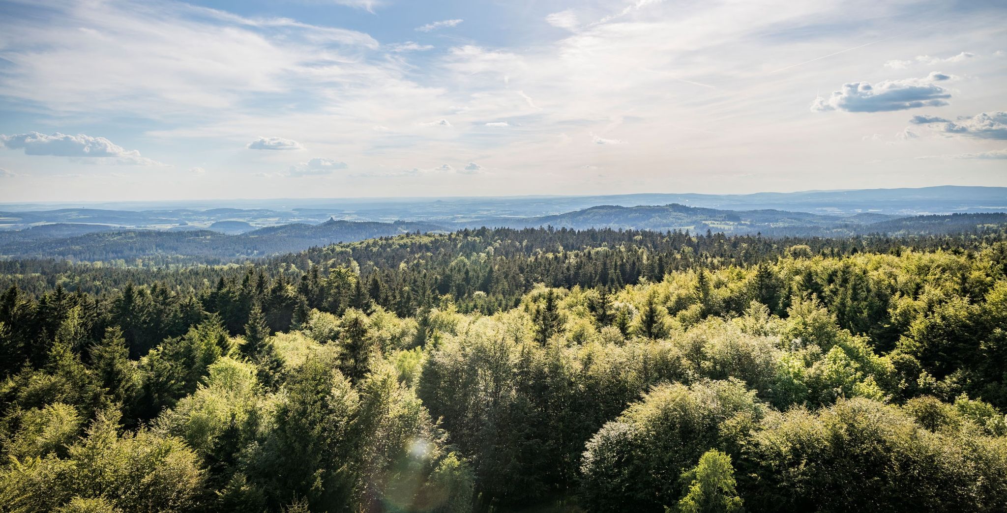
Nurtschweg – Hiking along the German-Czech border

The Goldsteig – 38 stages between Upper Palatinate and Passau
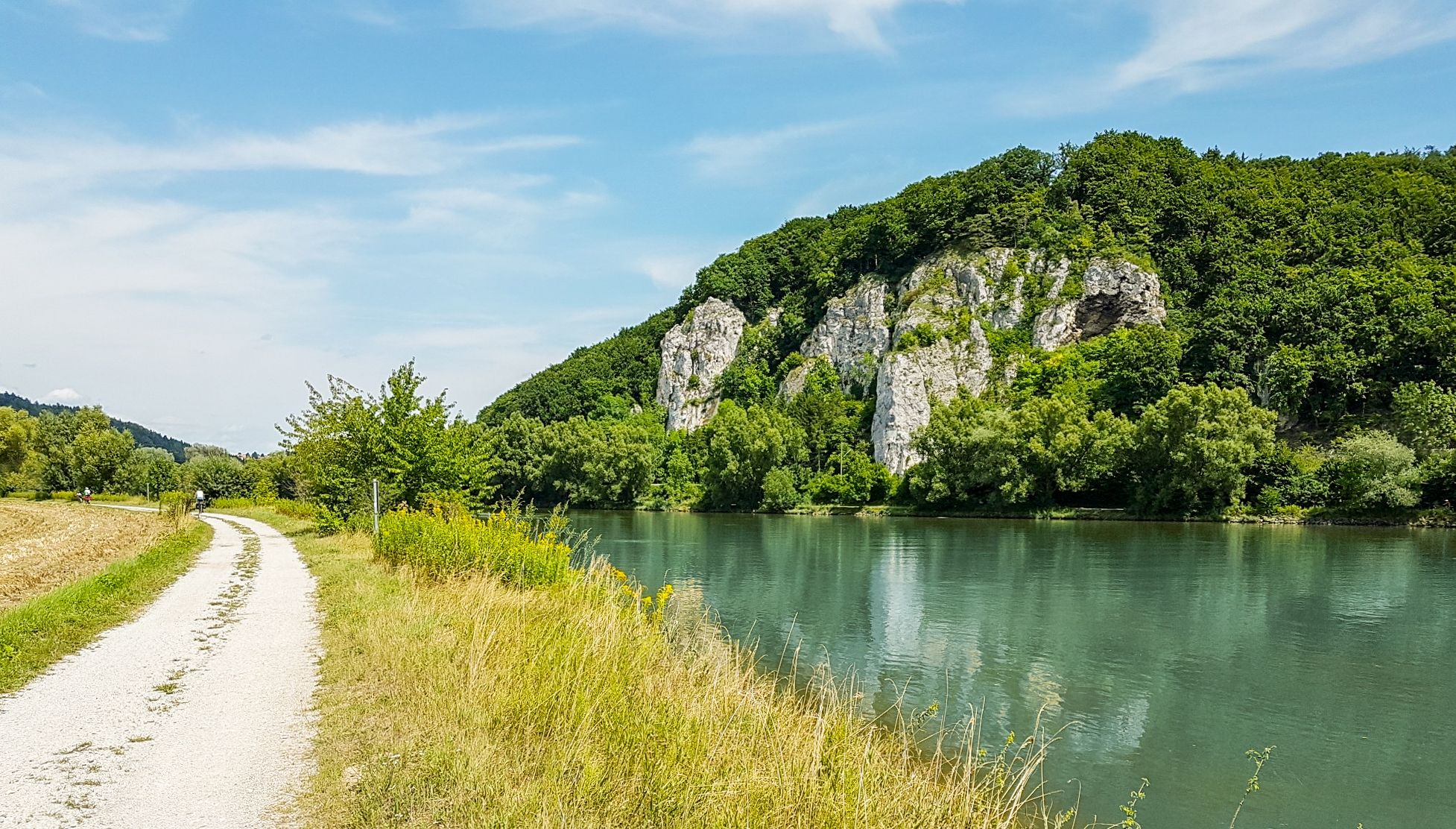
Donau-Panoramaweg – 10 days nature views and cultural insights

Goldsteig — The best routes for long distance hiking in Eastern Bavaria
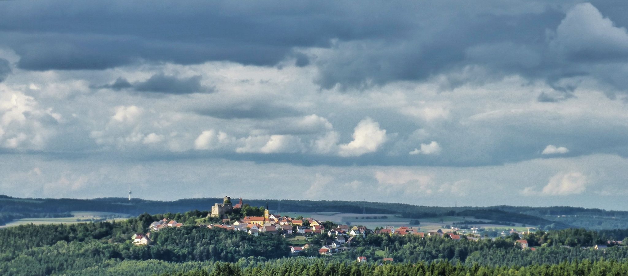
The Upper Palatinate Castle Trail — 9 days in picturesque northern Bavaria
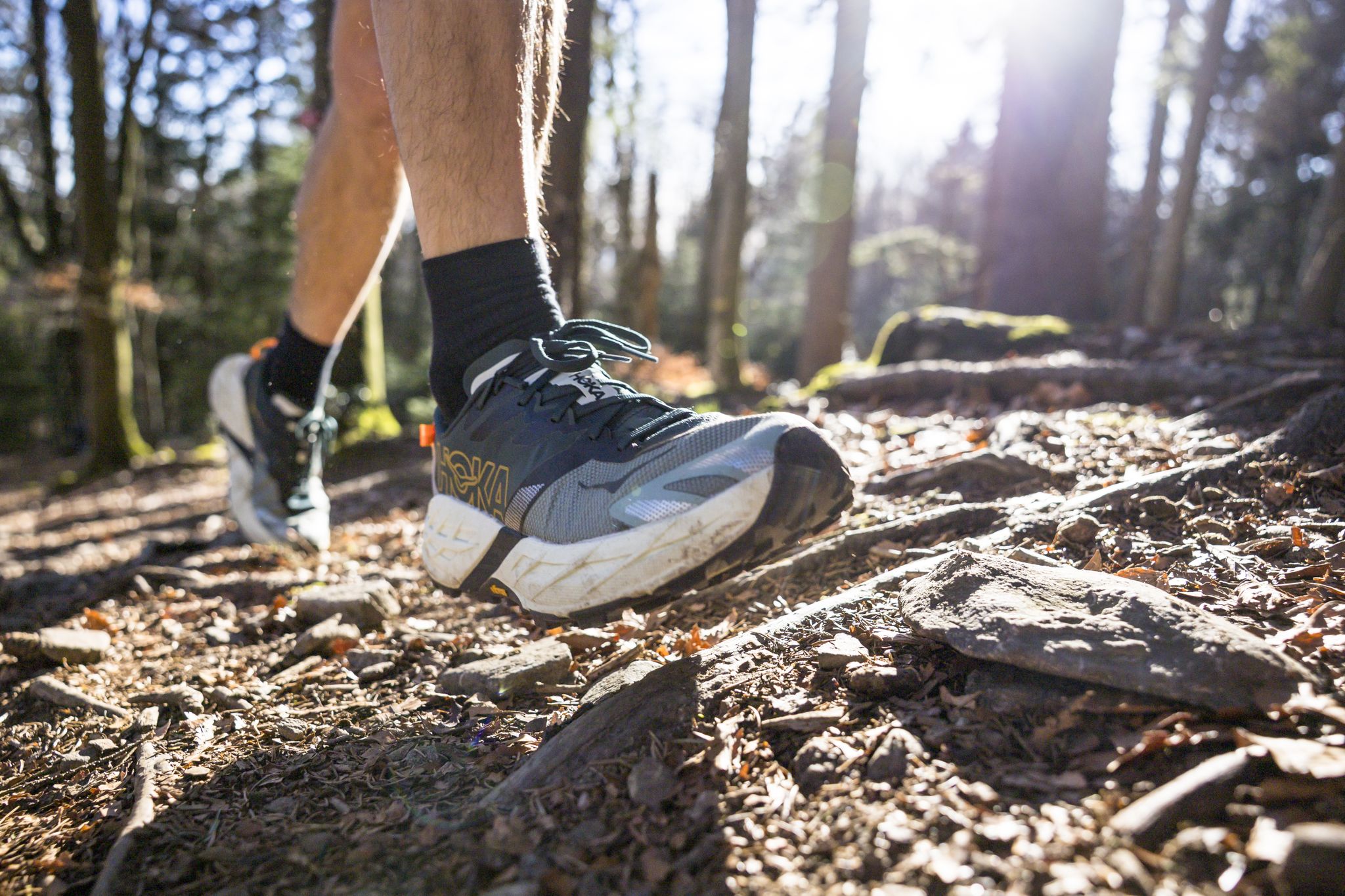
Run Wilder – six trail runs in Germany with the HOKA Speedgoat 7

The National Natural Landscapes in Bavaria
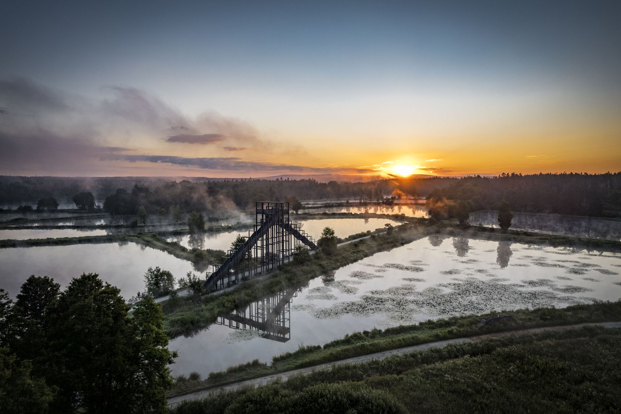
How refreshing! Trails by the water in the Upper Palatinate Forest

Hiking through Bavaria's cultural landscapes
Other adventures in the Bavarian Forest


Tips from the Community


With luck you can catch a glimpse of the Arber
0
0
A little bit of education while resting and marveling
1
0
Even without having seen the beaver, very nice path along the stream
2
0
Clearly visible, the Rachel is also worth a visit
2
0
Keep your eyes on the enjoy, one or the other root can be quite slippery
2
0

Pure hiking pleasure, water, rustic forest and beautiful paths.
10
0
Very informative and descriptive, with a bench and a view of the felt.
9
0
Frequently Asked Questions
How many bus-accessible hiking trails are there in the Bavarian Forest?
The Bavarian Forest offers a vast network of hiking trails easily reachable by bus. Our guide features over 8,200 routes, with nearly 4,000 considered easy and another 3,800 moderate, ensuring options for all skill levels directly from bus stations.
What is the best time of year to go hiking from bus stations in the Bavarian Forest?
The Bavarian Forest is a year-round hiking destination. Spring brings lush greenery, while summer offers warm weather for exploring dense forests and mountain peaks. Autumn is spectacular with vibrant foliage. Even in winter, many lower-lying areas of the national park offer rolled or cleared winter hiking trails, and snowshoeing is popular in higher elevations.
What do other hikers enjoy most about bus-accessible trails in the Bavarian Forest?
The komoot community highly rates the bus-accessible trails in the Bavarian Forest, with an average score of 4.56 stars from over 12,300 ratings. Hikers frequently praise the region's ancient forests, diverse landscapes, and the convenience of reaching trailheads via public transport, allowing for varied point-to-point adventures.
Are there family-friendly hiking trails accessible by bus in the Bavarian Forest?
Yes, the Bavarian Forest is known for its low-traffic, family-friendly trails. Many routes accessible by bus are suitable for families, offering varying levels of difficulty. For example, the Nationalpark compact - Tour through the animal free-range area is a moderate 8.6 km loop that children often enjoy, providing an opportunity to see local wildlife.
Can I bring my dog on bus-accessible hikes in the Bavarian Forest?
Generally, dogs are welcome on many hiking trails in the Bavarian Forest. However, specific rules apply within the National Park, especially regarding protected areas and wildlife. When using public transport, check the bus operator's regulations regarding pets. Always keep your dog on a leash and clean up after them to protect the natural environment.
Are there any bus-accessible hikes with waterfalls in the Bavarian Forest?
Absolutely! The Bavarian Forest is home to impressive waterfalls. The Riesloch Falls, considered the highest in the region, are a popular attraction. While specific bus routes might require a short walk to the trailhead, many trails in the area, like those around Bodenmais, offer access to these stunning natural features.
Are there circular hiking routes that start and end at a bus station?
Yes, many bus-accessible routes in the Bavarian Forest are designed as circular trails, making them convenient for public transport users. This allows you to start and finish your hike at the same bus stop without needing to arrange a return journey. For instance, the On the Lusen via Teufelsloch and Himmelsleiter route is a moderate circular hike offering stunning views.
What kind of terrain can I expect on bus-accessible hikes in the Bavarian Forest?
The terrain varies significantly, from gentle forest paths and boardwalks through bogs to challenging rocky ascents on mountain peaks. You can expect dense, ancient forests, rolling hills of granite and gneiss, and sometimes wooden bridges over gorges. Trails are generally well-maintained, but sturdy footwear is always recommended, especially for routes with significant elevation changes.
What are some notable natural attractions or viewpoints I can reach via bus-accessible trails?
The Bavarian Forest is rich in natural wonders. You can reach summits like Lusen Summit or Großer Arber Summit, offering panoramic views. Other highlights include the picturesque Great Arber Lake and unique geological formations like the 'Pfahl' quartz rock. Many trails also lead to impressive viewpoints such as Hirschenstein.
Are there options for winter hiking accessible by bus?
Yes, the Bavarian Forest remains a hiking paradise in winter. Many bus routes continue to operate, providing access to an extensive network of rolled or cleared winter hiking trails, particularly in the national park's lower areas. Snowshoe tours are also popular in higher elevations, offering a different way to experience the snowy landscape.
Are there places to eat or rest along bus-accessible hiking trails?
Many hiking routes in the Bavarian Forest, including those accessible by bus, feature traditional Bavarian huts and guesthouses where you can stop for refreshments or a meal. Places like the Kötztinger Hut offer a chance to refuel. It's always a good idea to check opening times, especially outside peak season.
How long do bus-accessible hikes typically take?
The duration of bus-accessible hikes varies greatly depending on the route's distance and difficulty. For example, a moderate hike like Hiking through Klosterfilz and Großer Filz covers about 11.5 km and takes around 3 hours. More challenging routes, such as Through the Hellbachgespreng to the Großer Falkenstein, can be over 15 km and take 5 hours or more.
Are there any challenging bus-accessible hikes for experienced hikers?
Experienced hikers will find plenty of challenging routes accessible by bus. Trails leading to the higher peaks, such as Through the Hellbachgespreng to the Großer Falkenstein (15.4 km, 669m elevation gain), offer significant ascents and rugged terrain. The To the Rachel: Peak, Chapel and Lake route is another demanding option, covering 11.2 km with over 500m of elevation gain.
Most popular routes in the Bavarian Forest
Most popular attractions in the Bavarian Forest

Get inspired with the komoot mobile app


Explore more
Browse the best Hikes in other regions.
