The best cycling routes around Aland-Elbe-Niederung
4.6
(5080)
20,431
riders
423
rides
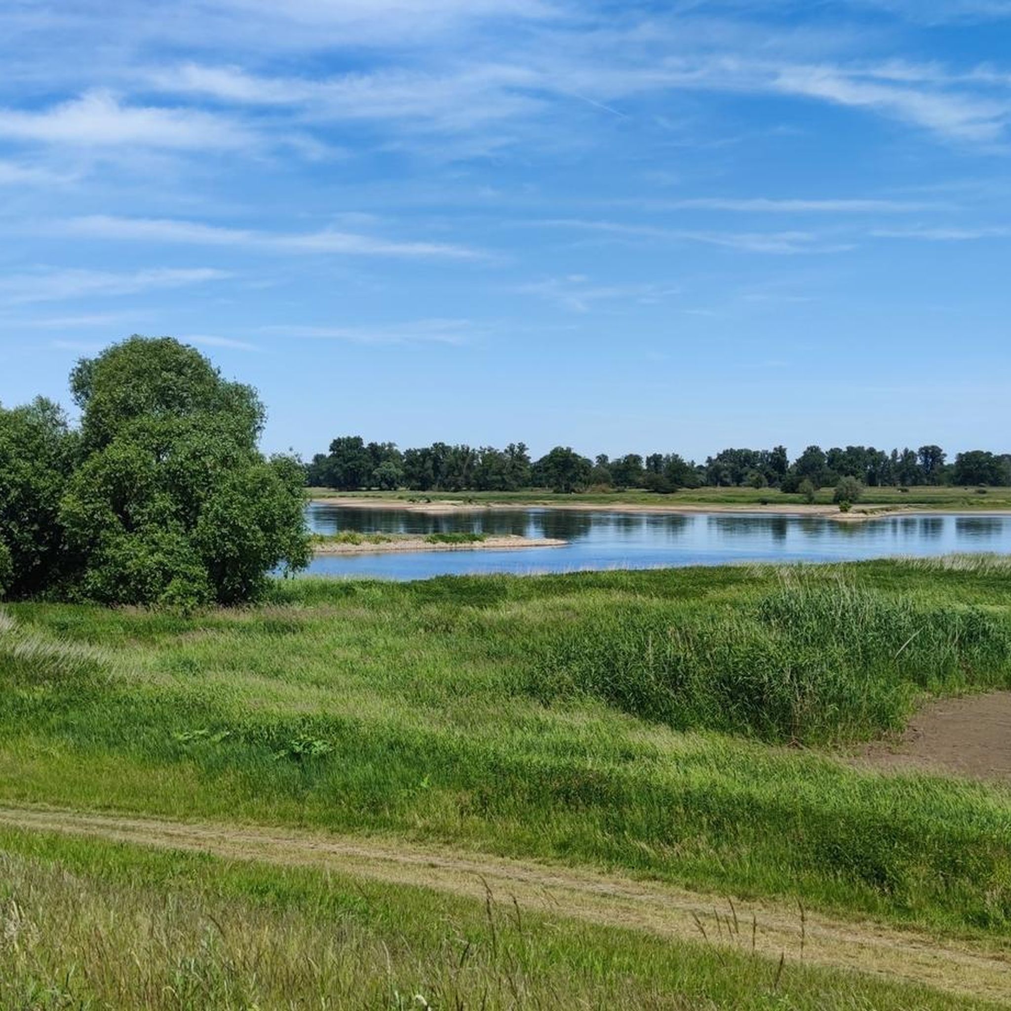
Touring cycling around Aland-Elbe-Niederung offers routes through a landscape defined by the Elbe and Aland rivers. This region features wetlands, floodplain forests, and meadows, forming part of the UNESCO Biosphere Reserve "Flusslandschaft Elbe." The terrain is largely flat, making it suitable for touring cyclists seeking routes along river valleys and through diverse natural habitats.
Best touring cycling routes around Aland-Elbe-Niederung
- The most popular touring cycling route is Aland Bridge near Pollitz – Aulosen Observation Tower loop from Wahrenberg, a…
Last updated: July 1, 2026
4.7
(16)
48
riders
Easy bike ride. Great for any fitness level. Mostly paved surfaces. Suitable for all skill levels.
4.3
(7)
56
riders
Easy bike ride. Great for any fitness level. Mostly paved surfaces. Suitable for all skill levels.

Sign up for free
4.9
(8)
28
riders
20.1km
01:15
30m
30m
Easy bike ride. Great for any fitness level. Mostly paved surfaces. Suitable for all skill levels.
4.7
(12)
28
riders
Hard bike ride. Good fitness required. You may need to push your bike for some segments of this route.
4.1
(7)
30
riders
Hard bike ride. Great for any fitness level. You may need to push your bike for some segments of this route.
Get access to more routes and recommendations from other explorers.
Sign up for free
Already have an account?
Our route recommendations are based on thousands of hikes, rides, and runs completed by other people on komoot.
Start today with a free account
Your next adventure awaits.
Login or Signup
Popular around Aland-Elbe-Niederung
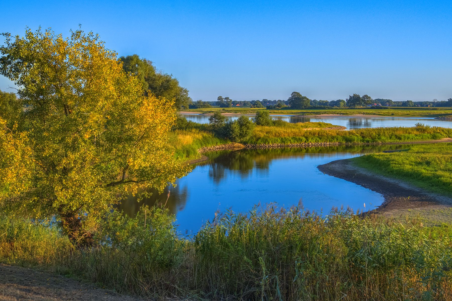
Discover the Green Belt in the Elbe-Altmark-Wendland with BUND

Lowest to Highest (L2H) in Germany

Discover the nature along the “Greenbelt” together with the BUND
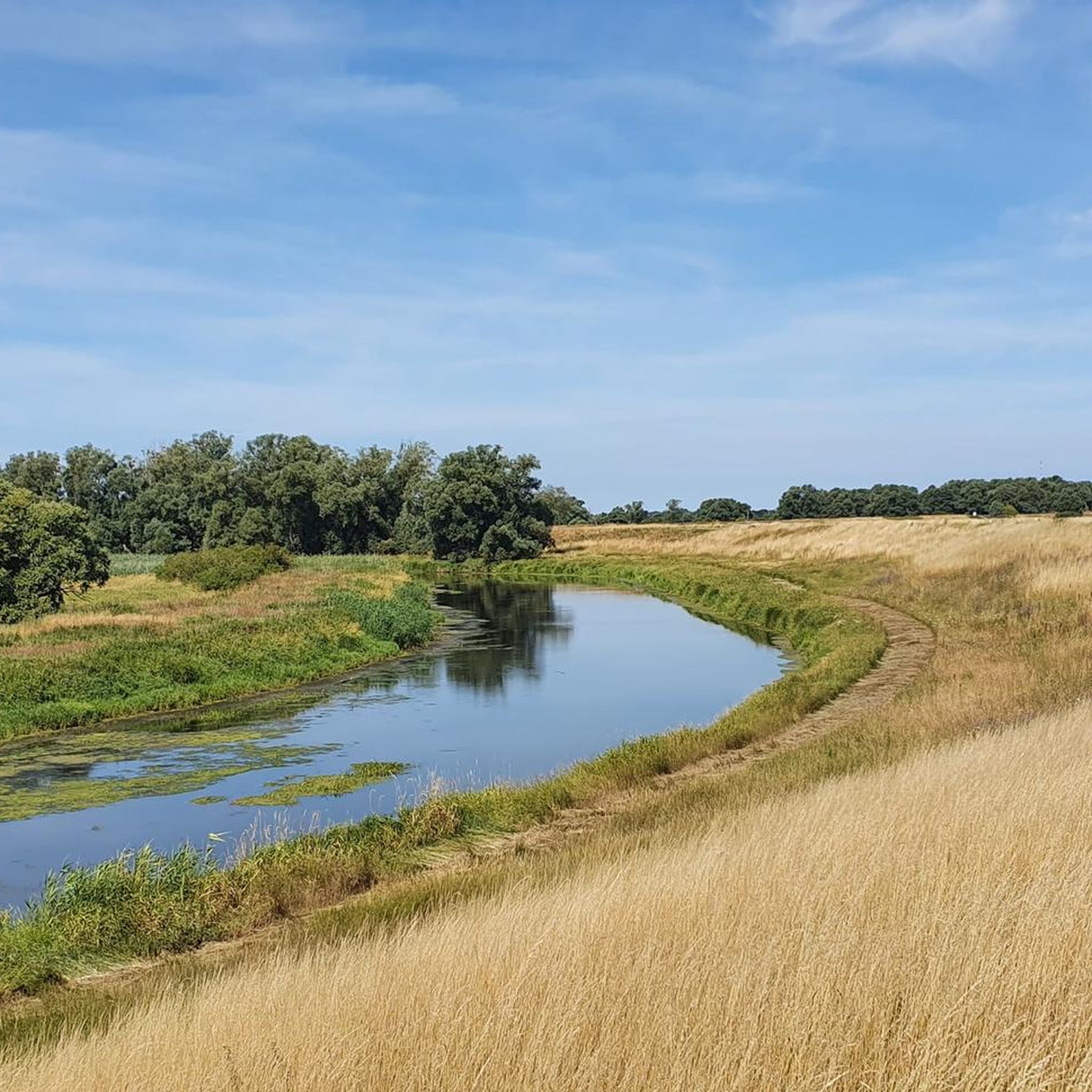
Hiking around Aland-Elbe-Niederung
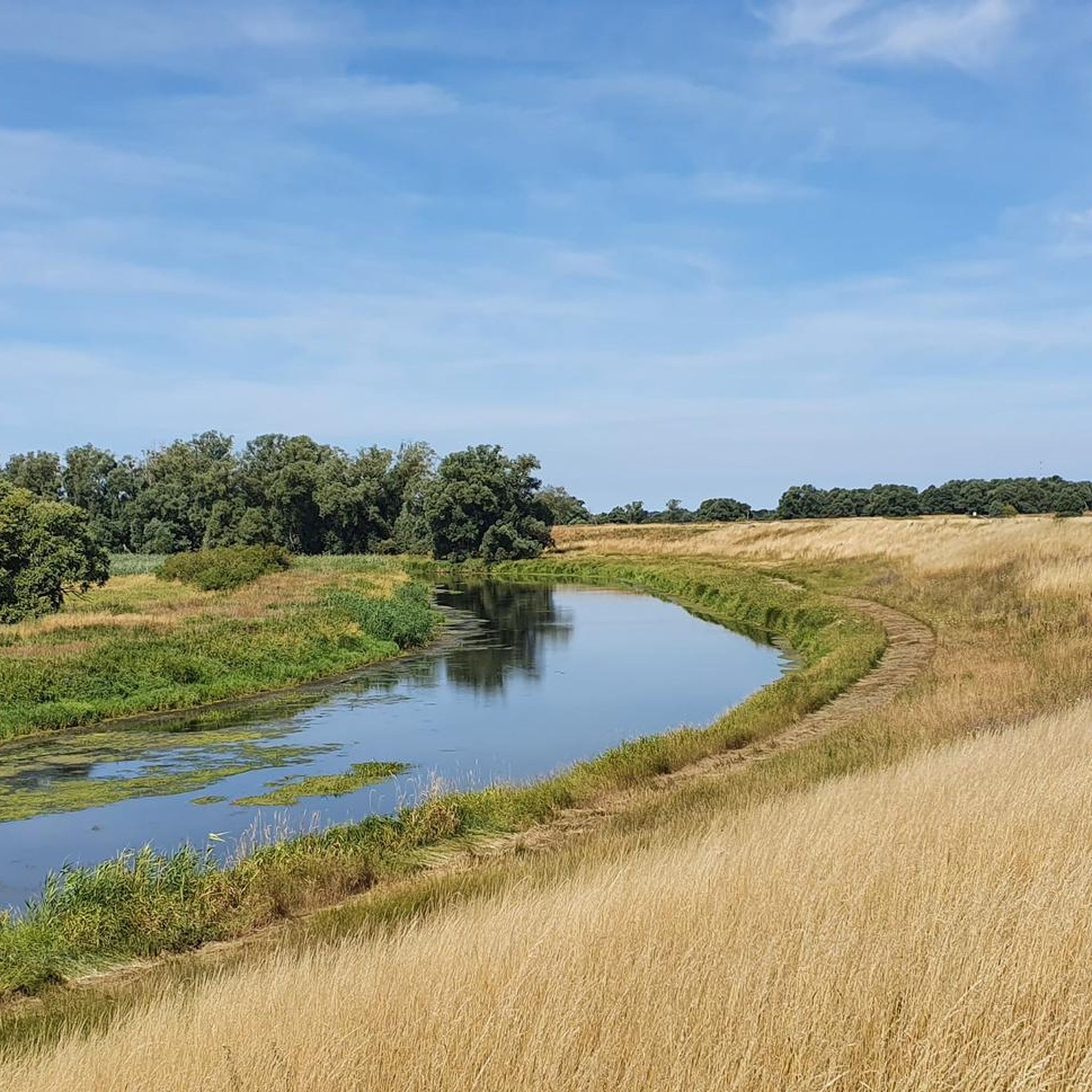
Road Cycling Routes around Aland-Elbe-Niederung
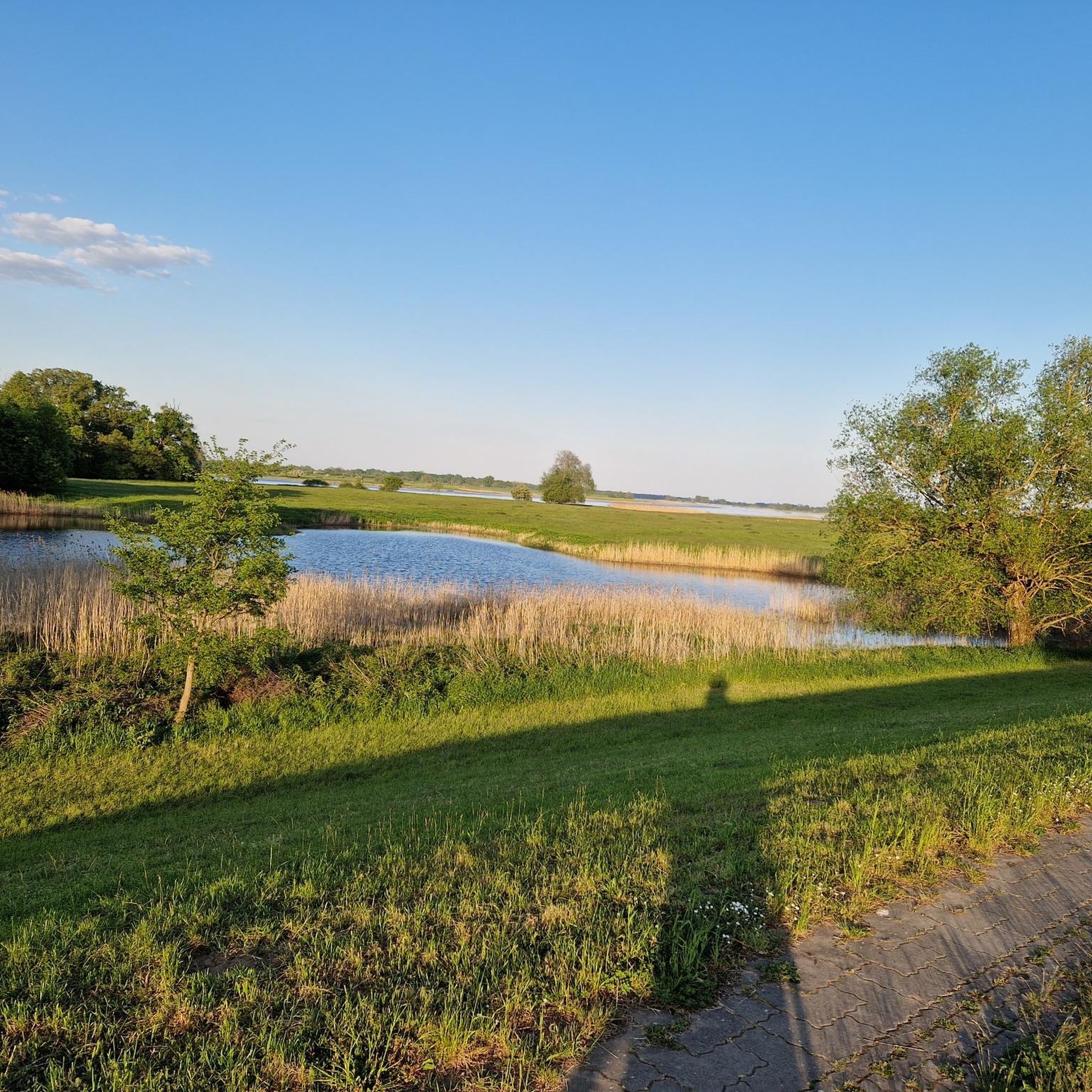
MTB Trails around Aland-Elbe-Niederung
Running Trails around Aland-Elbe-Niederung
Gravel biking around Aland-Elbe-Niederung


Tips from the Community

Great natural landscape here, where the rivers run parallel for 20km and then merge.
0
0

One should check the ferry in Schnackenburg. Unfortunately, it is not running at the moment. https://www.amtlenzen.de/seite/630582 The observation tower in Schnackenburg is accessible again and the museum is very hospitable. You are happy to donate there! In Wanzer, the Bockwindmühlenfest (post mill festival) took place. A nice final experience on the way back
0
0

The new B189 bridge near Wittenberge is part of the A14 motorway expansion and the dilapidated old bridge to the north (built in 1978, the longest GDR road bridge). The new construction, which is expected to take traffic from mid-2026, is being built as part of a major infrastructure project to modernize the Elbe crossing and replace the old structure.
1
0

Observation of waterfowl and cranes is possible.
0
0

The windmill itself is worth seeing, and the rest area is well suited for a picnic.
0
0

Nice route to drive, little traffic...
0
0

Quiet and sandy all the way to the lake
0
0
Nice swimming spot. Sandy and without much mud.
0
0
Frequently Asked Questions
How many touring cycling routes are available in Aland-Elbe-Niederung?
There are over 430 touring cycling routes in the Aland-Elbe-Niederung region, offering a wide variety of options for exploring the area's unique river landscapes.
What is the terrain like for touring cycling in Aland-Elbe-Niederung?
The terrain in Aland-Elbe-Niederung is largely flat, characterized by river floodplains, extensive meadows, and wetland areas along the Elbe and Aland rivers. This makes it ideal for touring cyclists seeking relaxed rides through diverse natural habitats. While generally flat, some routes may have minor elevation changes, such as the Perfect Cycling Road – Arendsee — Lakeside View loop from Wahrenberg, which has about 75 meters of ascent.
Are there routes suitable for beginners or less experienced cyclists?
Yes, the Aland-Elbe-Niederung region is very welcoming for beginners and less experienced cyclists. Over 250 of the available routes are classified as easy, including popular options like the Elbe Bridge, Wittenberge – View of Wahrenberg loop from Wittenberge, which is an easy 9.7 km path following the Elbe river.
What natural features or landmarks can I expect to see along the cycling routes?
The Aland-Elbe-Niederung is rich in natural beauty and historical landmarks. You can expect to see a mosaic of wetlands, floodplain forests, and meadows. Notable features include the Aland Bridge near Pollitz, the Aulosen Observation Tower offering expansive views of the Elbe lowlands, and the historic Bockwindmühle Wanzer. The region is also part of the UNESCO Biosphere Reserve "Flusslandschaft Elbe," highlighting its ecological significance.
Are there any circular touring cycling routes in the region?
Yes, there are several circular routes designed for touring cyclists. A popular choice is the Aland Bridge near Pollitz – Aulosen Observation Tower loop from Wahrenberg, a 26.4 km trail that takes you past key attractions. Another option is the Bike loop from Rühstädt, which covers 20.1 km through diverse landscapes.
What is the best time of year to go touring cycling in Aland-Elbe-Niederung?
The best time for touring cycling in Aland-Elbe-Niederung is generally from spring to autumn. During these seasons, the weather is mild, and the natural landscapes, including the floodplain meadows and riverine habitats, are at their most vibrant. This period also offers the best opportunities for bird watching, as thousands of migrating birds pass through the valleys.
Are the touring cycling routes in Aland-Elbe-Niederung family-friendly?
Many of the touring cycling routes in Aland-Elbe-Niederung are very family-friendly due to the largely flat terrain and numerous easy options. The established paths and scenic views make it an enjoyable experience for cyclists of all ages. Routes like the Elbe Bridge, Wittenberge – View of Wahrenberg loop from Wittenberge are particularly suitable for families.
Are dogs allowed on the cycling paths?
As a general rule, dogs are often permitted on public cycling paths in nature reserves like Aland-Elbe-Niederung, provided they are kept on a leash to protect wildlife and ensure the safety of other users. It's always advisable to check specific local regulations or signage, especially in sensitive ecological areas, to ensure compliance.
Is public transport available to reach the cycling routes in Aland-Elbe-Niederung?
While specific public transport options directly to every trailhead may vary, the region is generally accessible. Larger towns nearby, such as Wittenberge, often have train connections, and local bus services might connect to some villages within or bordering the nature reserve. Cyclists often combine train travel with short rides to reach their starting points.
Are there parking facilities near the cycling routes?
Yes, parking facilities are typically available in or near the villages and towns that serve as starting points for many cycling routes in Aland-Elbe-Niederung. Look for designated parking areas in places like Wahrenberg or Wittenberge, which are common access points for the region's tours.
What do other cyclists say about touring cycling in Aland-Elbe-Niederung?
The touring cycling routes in Aland-Elbe-Niederung are highly rated by the komoot community, with an average score of 4.6 stars from over 4,900 reviews. Cyclists often praise the tranquil river landscapes, the well-maintained paths, and the opportunities for wildlife observation, particularly the diverse birdlife.
Can I combine my cycling trip with other activities like bird watching?
Absolutely! The Aland-Elbe-Niederung is a haven for birdwatchers, especially during migration seasons. The region serves as a breeding ground for species like sea eagles and ospreys, and thousands of migrating birds pass through annually. Many routes pass by ideal bird observation points, particularly near river confluences and open water areas, making it easy to combine cycling with wildlife spotting.
Most popular routes around Aland-Elbe-Niederung
Most popular attractions around Aland-Elbe-Niederung

Get inspired with the komoot mobile app


Explore more
Browse the best Cycling routes in other regions.
