The best MTB trails around Aland-Elbe-Niederung
4.5
(83)
282
riders
49
rides
Mountain biking around Aland-Elbe-Niederung is characterized by its unique riverine landscapes and diverse ecosystems within Saxony-Anhalt, Germany. The terrain primarily consists of expansive wetlands, floodplain forests, and meadows spread across the Elbe and Aland river valleys. While not mountainous, the region features a network of paths along dikes, parallel farm tracks, and through areas with scattered inland dunes, offering varied surfaces for off-road cycling. The landscape is generally flat to gently rolling, making it accessible for a wide range of…
Last updated: June 28, 2026
5.0
(3)
3
riders
Moderate mountain bike ride. Great for any fitness level. Advanced riding skills necessary.
4.9
(10)
29
riders
Moderate mountain bike ride. Good fitness required. Suitable for all skill levels.

Sign up for free
5.0
(1)
3
riders
27.2km
01:26
50m
40m
Easy mountain bike ride. Great for any fitness level. Suitable for all skill levels.
4.3
(3)
7
riders
23.8km
01:13
30m
30m
Easy mountain bike ride. Great for any fitness level. Suitable for all skill levels.
3
riders
19.2km
01:00
30m
30m
Easy mountain bike ride. Great for any fitness level. Suitable for all skill levels.
Get access to more routes and recommendations from other explorers.
Sign up for free
Already have an account?
Our route recommendations are based on thousands of hikes, rides, and runs completed by other people on komoot.
Start today with a free account
Your next adventure awaits.
Login or Signup
Popular around Aland-Elbe-Niederung
Discover the Green Belt in the Elbe-Altmark-Wendland with BUND

Lowest to Highest (L2H) in Germany

Discover the nature along the “Greenbelt” together with the BUND
Cycling around Aland-Elbe-Niederung
Hiking around Aland-Elbe-Niederung
Road Cycling Routes around Aland-Elbe-Niederung
Running Trails around Aland-Elbe-Niederung
Gravel biking around Aland-Elbe-Niederung


Tips from the Community

The bridge can be used by cyclists and pedestrians. It is open, as of 2026. From here, of course, you have a good view of the Elbe meadows and the city.
0
0
yes, there is a small hut here. You can observe birds well from here.
0
0
Great natural landscape here, where the rivers run parallel for 20km and then merge.
0
0
beautiful bridge over the Havel with a good view of the city's churches.
0
0

The inner-German border ran here. Today, the original border post #290 still stands on the border line Saxony-Anhalt and Lower Saxony now meet here
1
0

The Gnevsdorf drainage canal near Gnevsdorf is an approximately eleven-kilometer-long, artificially constructed drainage channel that connects the Havel River to the Elbe River and serves as an additional distributary. It was created to shift the backwater effect of the Elbe downstream to a lower level and to relieve pressure on the Lower Havel during floods. In conjunction with the Gnevsdorf weir and the Havelberg lock, the drainage canal regulates the water level, improves the flow of the Havel, and protects the surrounding lowlands. At the same time, the route along the drainage canal serves as an attractive route for cyclists on the Elbe Cycle Path, offering views of the Elbe landscape and opportunities for nature observation.
0
0
The Gnevsdorf drainage canal is an approximately eleven-kilometer-long, artificially constructed canal between the Havel and Elbe rivers, serving as an additional outlet into the Elbe. Its design aimed to shift the Elbe's backwater level downstream to a lower level, thus effectively relieving pressure on the Lower Havel during floods. Simultaneously, the canal improves the flow of Havel water to the Elbe, which has a steeper gradient. The Gnevsdorf drainage canal is part of a comprehensive flood protection system that also includes several weirs and the Havelberg lock.
0
0
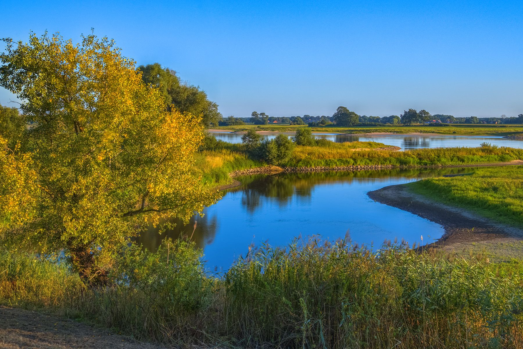
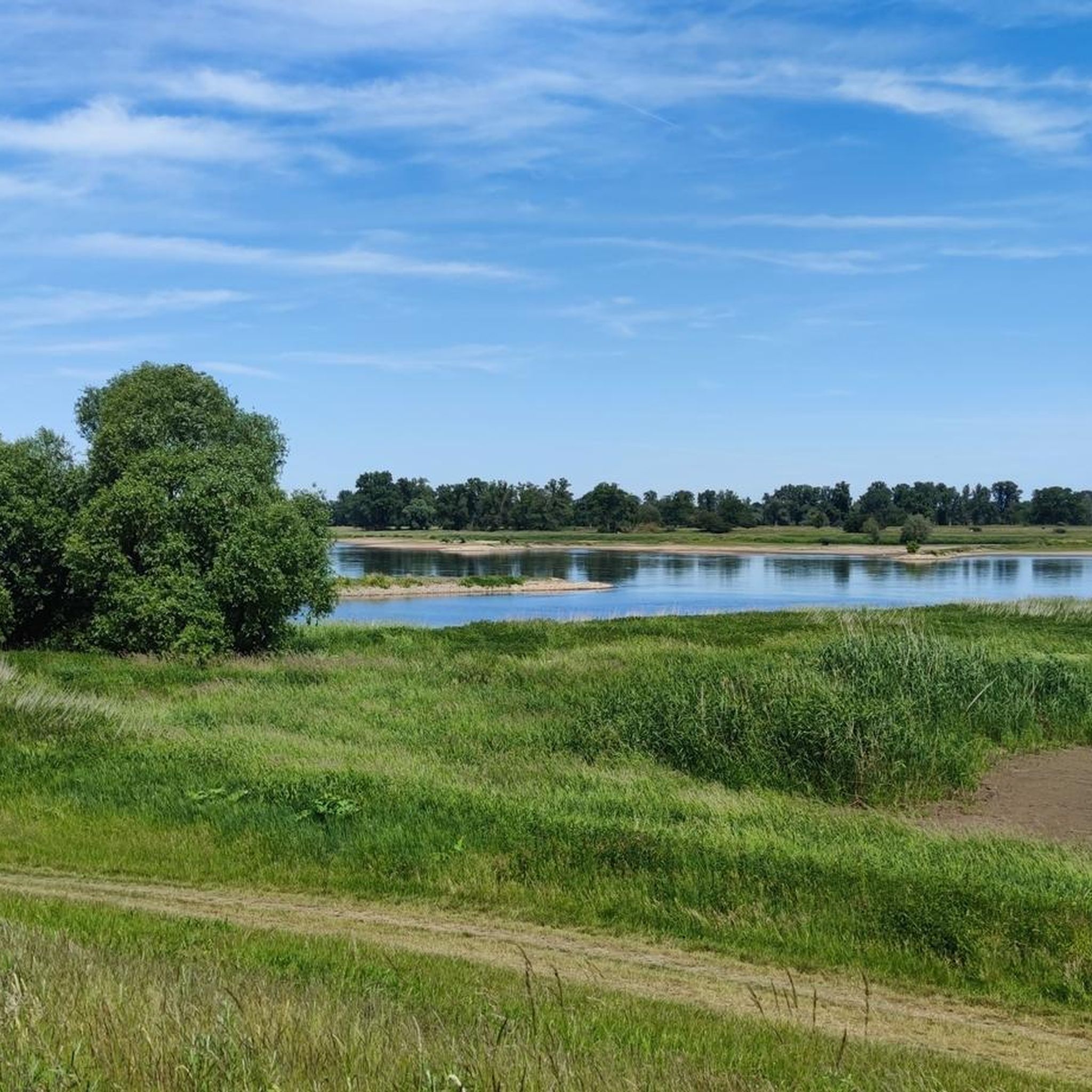
A sprawling, flat river landscape characterized by waterways, meadows, and groups of trees. The lowlands serve as a natural floodplain and change their appearance depending on the water level and season. Open vistas are characteristic, making the area a typical example of a near-natural Elbe floodplain landscape.
0
0
Frequently Asked Questions
What kind of terrain can I expect on mountain bike trails in Aland-Elbe-Niederung?
The Aland-Elbe-Niederung region is characterized by its unique riverine landscapes, wetlands, floodplain forests, and meadows. While not traditionally mountainous, the trails offer varied surfaces, including paths along dikes, parallel farm tracks, and sections through areas with scattered inland dunes. The terrain is generally flat to gently rolling, making it accessible for a wide range of cycling abilities.
How many mountain bike trails are available in the Aland-Elbe-Niederung region?
There are nearly 50 mountain bike trails available in the Aland-Elbe-Niederung region. These routes range from easy to moderate difficulty, offering diverse options for exploring the natural landscape.
What are the difficulty levels of the mountain bike trails in Aland-Elbe-Niederung?
The mountain bike trails in Aland-Elbe-Niederung are primarily categorized as easy or moderate. There are approximately 20 easy trails and 29 moderate trails, ensuring options for various skill levels, though no technically difficult routes are present.
What natural features and landmarks can I see along the mountain bike trails?
The region is rich in natural beauty and historical landmarks. You can explore the Elbe floodplain, enjoy the beautiful floodplain landscape on the Aland, and visit the Aland-Elbe Lowlands Nature Reserve. Other points of interest include the Aland Bridge near Pollitz and the Aulosen Observation Tower, offering scenic views.
Are there any family-friendly mountain bike trails in Aland-Elbe-Niederung?
Yes, the generally flat to gently rolling terrain of Aland-Elbe-Niederung makes it very suitable for family-friendly cycling. Many of the 20 easy trails are ideal for families, allowing for relaxed exploration of the riverine landscapes and natural reserve.
Can I bring my dog on the mountain bike trails in Aland-Elbe-Niederung?
While the region is a nature reserve, many trails are suitable for cycling with dogs, provided they are kept on a leash to protect wildlife, especially in bird sanctuary areas. Always check local signage for specific regulations within certain protected zones.
What is the best time of year to go mountain biking in Aland-Elbe-Niederung?
The best time to visit Aland-Elbe-Niederung for mountain biking is typically from spring to autumn. During these seasons, the weather is generally pleasant, and the natural landscapes, including the wetlands and floodplain forests, are vibrant. Spring and autumn also offer excellent opportunities for birdwatching as migratory birds pass through.
Are there any circular mountain bike routes in the area?
Yes, many routes in Aland-Elbe-Niederung are designed as loops. For example, the Schnackenburg Market Square – Aland/Biese River and Bridge loop from Wahrenberg is a popular moderate route, and the Gartower See Weir – View of Gartower See loop from Schnackenburg offers an easy option around Gartower See.
What do other mountain bikers enjoy most about cycling in Aland-Elbe-Niederung?
The area is highly rated by the komoot community, with an average score of 4.5 stars from over 70 reviews. Reviewers often praise the tranquil riverine landscapes, the diverse ecosystems, and the well-maintained network of paths that allow for close-up experiences with nature, including excellent birdwatching opportunities.
Are there cafes or accommodation options near the mountain bike trails?
Yes, there are various cafes, pubs, and accommodation options in towns and villages surrounding the Aland-Elbe-Niederung nature reserve. These establishments cater to visitors and cyclists, offering places to rest, refuel, and stay overnight. For example, the Farm café with garden – Havel Confluence With the Elbe loop from Rühstädt passes by a local farm cafe.
Is public transport available to access the cycling routes in Aland-Elbe-Niederung?
Public transport options to access the Aland-Elbe-Niederung region exist, though they may vary in frequency. Regional buses and trains connect larger towns in Saxony-Anhalt, some of which are close to the nature reserve. It's advisable to check local transport schedules and bike carriage policies in advance.
Are there specific parking areas for cyclists in the Aland-Elbe-Niederung nature reserve?
While specific designated 'cyclist-only' parking areas might be limited, visitors can typically find parking in the towns and villages bordering the nature reserve, such as Schnackenburg or Wahrenberg. From these points, you can easily access the extensive network of cycling paths.
Are permits required for cycling in the Aland-Elbe-Niederung nature reserve?
Generally, no special permits are required for cycling on the marked trails within the Aland-Elbe-Niederung nature reserve. However, as it is part of the UNESCO Middle Elbe Biosphere Reserve, visitors are expected to respect nature conservation rules, stay on designated paths, and avoid disturbing wildlife.
Most popular routes around Aland-Elbe-Niederung
Most popular attractions around Aland-Elbe-Niederung

Get inspired with the komoot mobile app


Explore more
Browse the best MTB trails in other regions.
