The best cycling routes around Attinghausen
4.7
(200)
3,936
riders
60
rides
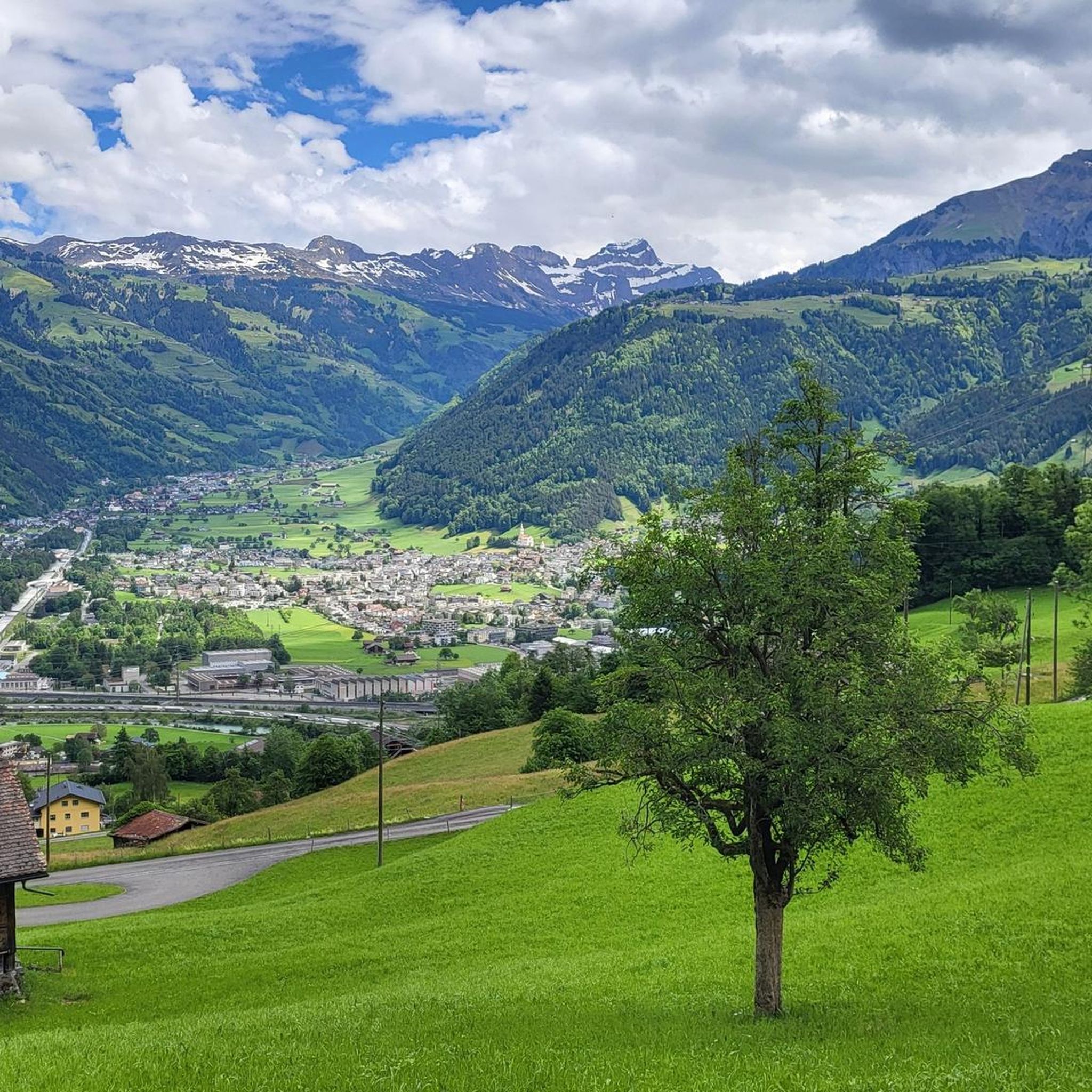
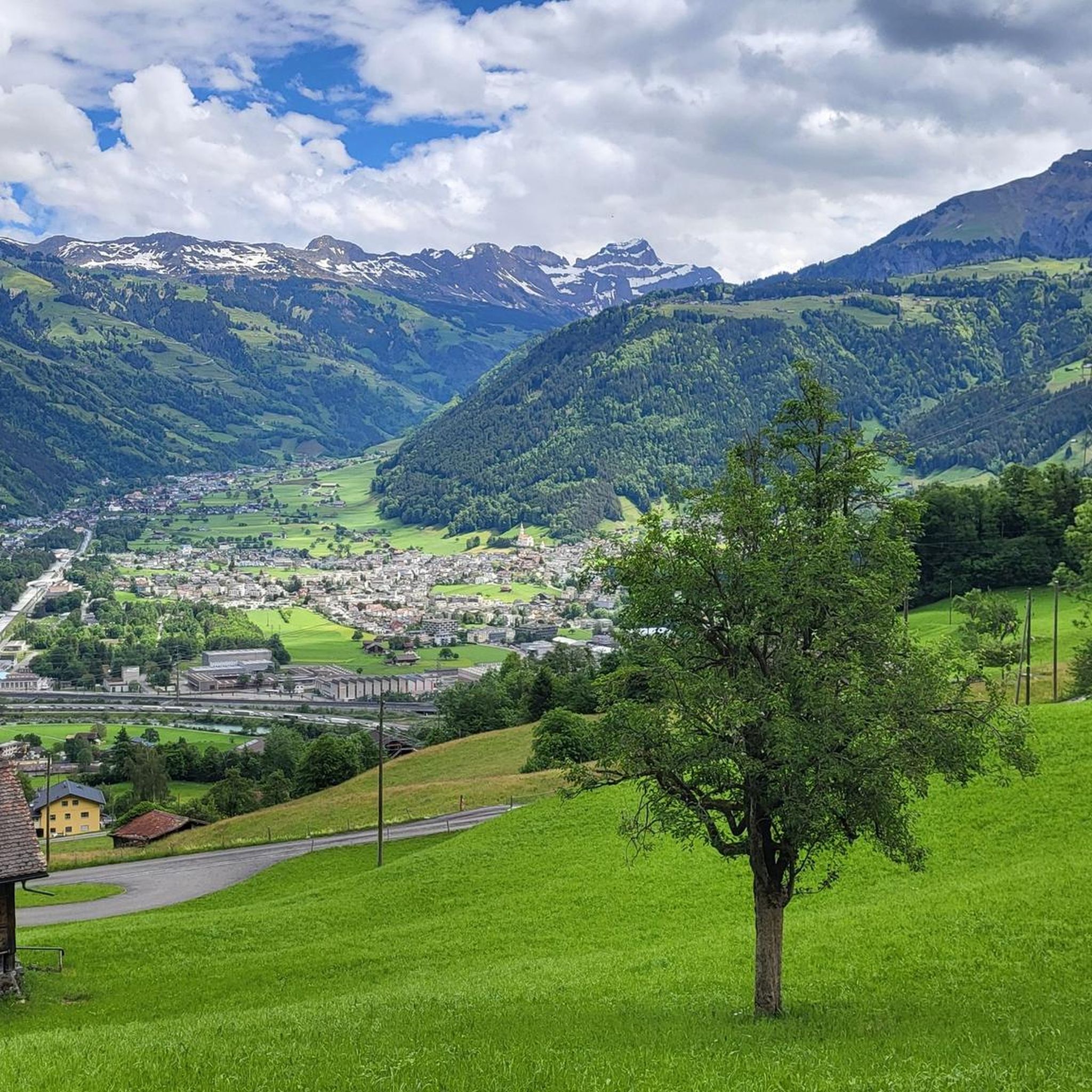
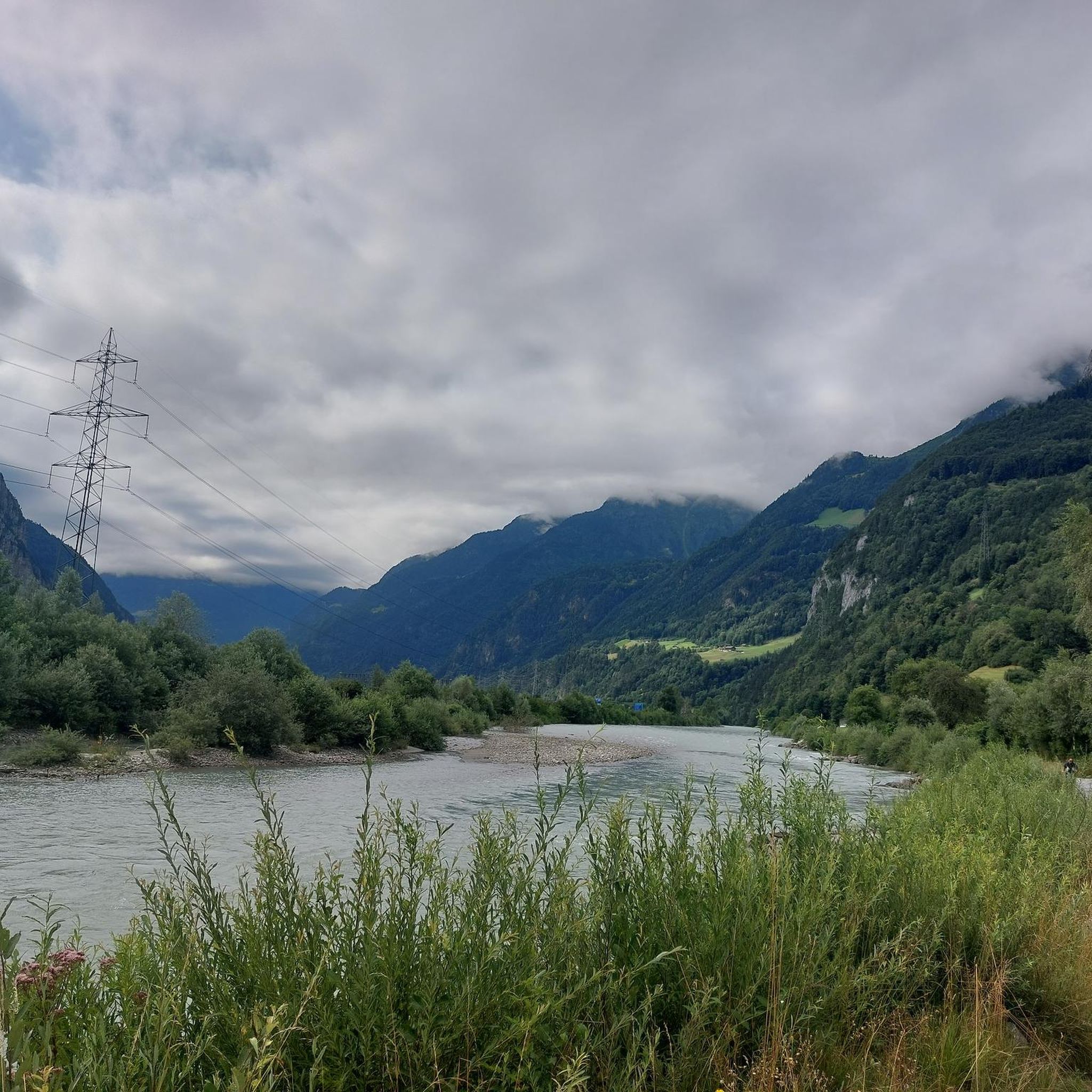
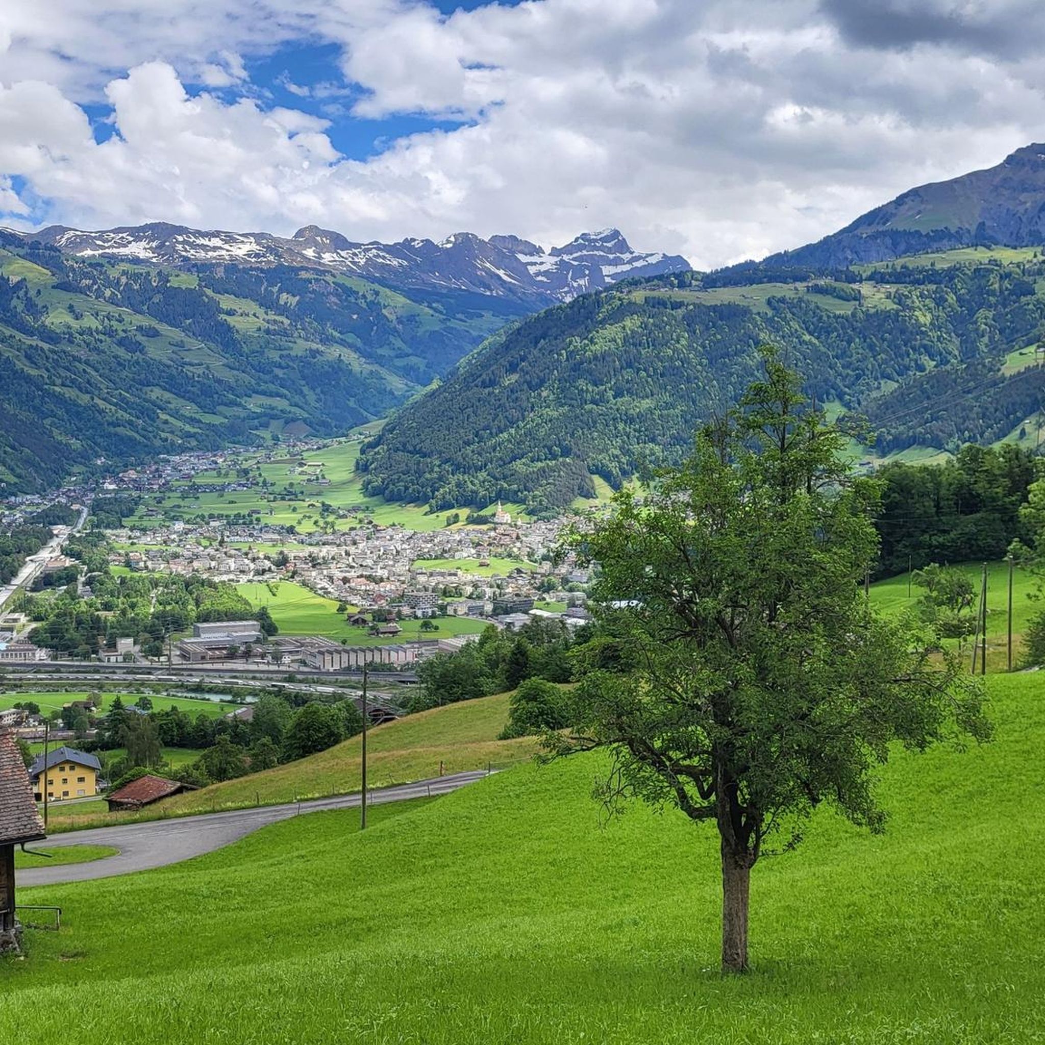
Touring cycling around Attinghausen offers routes through varied terrain, from the flatlands of the Reuss River valley to challenging ascents into the surrounding Alpine foothills. The region features a mix of river deltas, open valleys, and mountain passes, providing diverse landscapes for cyclists. Elevation changes are common, with routes often including significant climbs and descents. The area's geography is shaped by its proximity to the Alps, resulting in a network of paths that traverse both lower-lying areas and higher elevations.
…Last updated: June 24, 2026
5.0
(6)
526
riders
52.0km
04:13
1,600m
1,600m
Hard bike ride. Very good fitness required. Mostly paved surfaces. Suitable for all skill levels.
4.9
(14)
211
riders
52.8km
04:48
1,240m
1,240m
Hard bike ride. Very good fitness required. Mostly paved surfaces. Suitable for all skill levels.

Sign up for free
4.5
(11)
185
riders
33.0km
02:15
200m
200m
Moderate bike ride. Good fitness required. Mostly paved surfaces. Suitable for all skill levels.
4.9
(8)
192
riders
31.6km
03:05
1,170m
1,170m
Hard bike ride. Very good fitness required. Mostly paved surfaces. Suitable for all skill levels.
4.3
(3)
131
riders
52.1km
04:41
1,780m
1,780m
Hard bike ride. Very good fitness required. Mostly paved surfaces. Suitable for all skill levels.
Get access to more routes and recommendations from other explorers.
Sign up for free
Already have an account?
Our route recommendations are based on thousands of hikes, rides, and runs completed by other people on komoot.
Start today with a free account
Your next adventure awaits.
Login or Signup


Tips from the Community

Imposing bridge over the Reuss
0
0

The Klausen Pass is a 1,948 m above sea level mountain pass in the Swiss canton of Uri, connecting the canton's core area to Glarus via the Urner Boden valley, which is continuously inhabited in winter and therefore a functional exclave. The pass leads from Altdorf (canton of Uri) through the Schächen Valley, over the pass summit and the parish of Urnerboden to Linthal in the canton of Glarus. The pass summit forms the border between the Uri municipality of Unterschächen and the Urner Boden region, which belongs to Spiringen.
1
0


Direct route to Schattdorf
0
0

Highest point at the transition between Muotathal and Schächental. Beautiful view.
0
0


Better during the week because of many motorcycles on the weekend
0
0

Great pass road with many highlights along the way 🚴
0
0
Frequently Asked Questions
What kind of touring cycling routes can I find around Attinghausen?
Attinghausen offers a diverse range of touring cycling routes, from flat paths along the Reuss River valley to challenging ascents into the Alpine foothills. You'll find routes that traverse river deltas, open valleys, and mountain passes, catering to various skill levels. There are over 60 touring cycling routes available in the area.
Are there touring cycling routes suitable for beginners or families in Attinghausen?
Yes, Attinghausen has routes suitable for less experienced cyclists and families. There are 18 easy routes that typically feature less elevation gain and are shorter in distance. For example, the Reuss Pedestrian Bridge – Pond in the Reuss Delta loop from Altdorf UR is a moderate route that explores the river delta, offering a scenic experience without extreme difficulty.
What are the options for advanced touring cyclists looking for a challenge?
Advanced touring cyclists will find plenty of challenging routes around Attinghausen, with 24 difficult routes featuring substantial elevation gains. Consider the View of Wittenschwanden – Hotel Klausenpass loop from Altdorf UR, a 30.5-mile route with significant climbing, or the Attinghausen – Jagdmatt Chapel loop from Altdorf UR, which covers 32.8 miles with varied terrain and notable ascents.
Are there any circular touring cycling routes in Attinghausen?
Many of the touring cycling routes around Attinghausen are designed as loops, allowing you to start and end in the same location. Examples include the Schattdorf Valley Station – Altdorf Town Hall loop from Altdorf UR and the Nussbäumli Restaurant – View of Wittenschwanden loop from Altdorf UR, both offering diverse landscapes within a circular path.
What is the best time of year for touring cycling in Attinghausen?
The best time for touring cycling in Attinghausen is typically from late spring to early autumn (May to October). During these months, the weather is generally milder, and mountain passes are more likely to be clear of snow, offering access to a wider range of routes. Always check local weather forecasts before heading out, especially for higher elevation routes.
What kind of views or natural landmarks can I expect to see along the routes?
The touring cycling routes around Attinghausen offer stunning views of the Alpine landscape, including river deltas and mountain vistas. You can explore highlights such as the Klingenstock–Fronalpstock Ridge Hike, or enjoy the scenery from various summits like Klingenstock Summit and Risetenstock. The region's proximity to the Alps ensures picturesque backdrops throughout your ride.
Are there any places to stop for refreshments or a break along the touring cycling routes?
While specific cafes are not listed for every route, the region around Attinghausen, being a popular outdoor destination, offers various opportunities for breaks. You might find mountain huts like Brisenhaus SAC or Lidernen Hut (SAC) along some trails, especially in higher elevations, providing refreshments and shelter. It's always advisable to carry sufficient water and snacks, especially on longer rides.
What do other touring cyclists say about the routes in Attinghausen?
The touring cycling routes in Attinghausen are highly regarded by the komoot community, holding an average rating of 4.7 stars from over 160 reviews. More than 3900 touring cyclists have explored the area using komoot, often praising the diverse terrain, from river deltas to challenging mountain passes, and the well-maintained network of paths.
Is it possible to access the touring cycling routes using public transport?
Attinghausen and the surrounding region are well-connected by Switzerland's efficient public transport system, including trains and post buses. Many starting points for touring cycling routes are accessible via public transport, allowing you to reach the area without a car. It's recommended to check the specific route's starting point and local transport schedules for the most convenient options.
Where can I park my car if I drive to Attinghausen for touring cycling?
Attinghausen and nearby towns like Altdorf UR offer various parking facilities, including public car parks. For specific routes, it's advisable to check the starting point for designated parking areas. Many trailheads or nearby villages will have options, though some may require a fee. Always ensure you park legally and considerately.
Are there any hidden gem touring cycling routes in the Attinghausen area?
While popular routes are well-loved, the extensive network of over 60 touring cycling trails means there are many less-traveled paths waiting to be discovered. Exploring some of the moderate or difficult routes that venture deeper into the Alpine foothills, away from the main valleys, can often lead to quieter trails and unexpected scenic viewpoints. Komoot's detailed maps can help you find these less-known options.
Most popular routes around Attinghausen
Most popular attractions around Attinghausen

Get inspired with the komoot mobile app


Explore more
Browse the best Cycling routes in other regions.
