The best running trails around Attinghausen
4.2
(53)
3,981
runners
169
runs
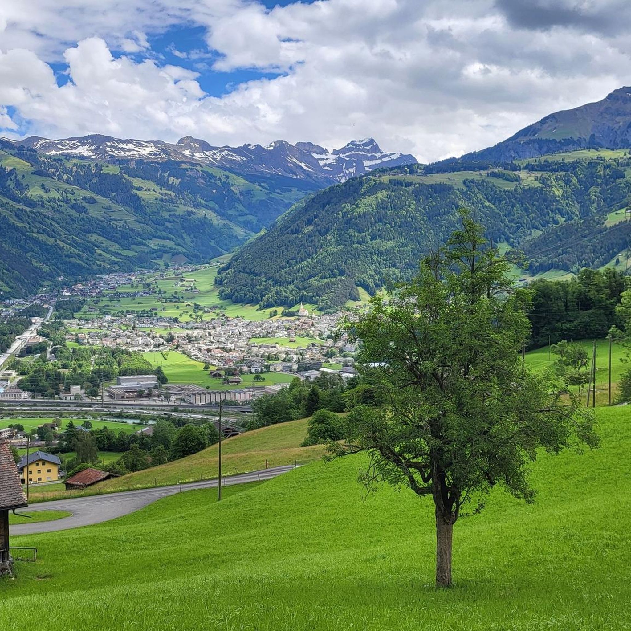
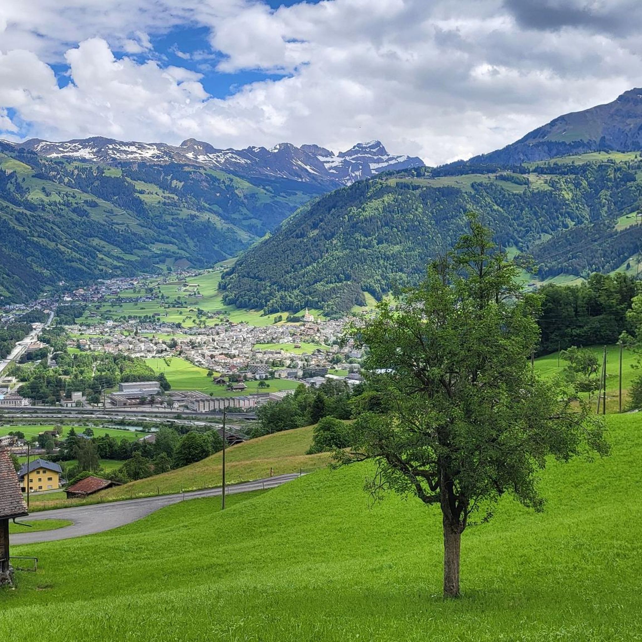
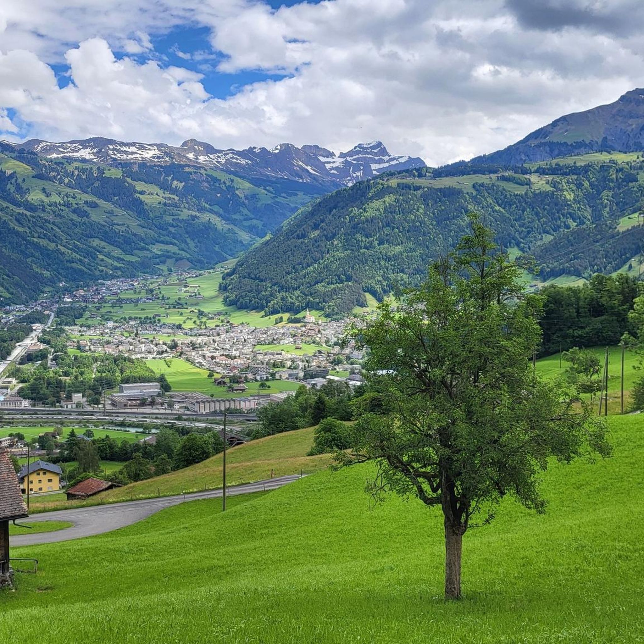
Jogging around Attinghausen offers a diverse landscape for runners. The region is characterized by its location near the Reuss River and its delta, providing flat, accessible paths. Runners can explore routes that follow river courses, pass through open fields, and offer views of the surrounding valley. The terrain primarily consists of gentle gradients, making it suitable for various fitness levels.
Best jogging routes around Attinghausen
- The most popular jogging route is Schächen confluence – Reuss Delta with Observation Tower loop from Altdorf UR, a 7.6 miles (12.2 km) trail that takes 1 hour 15 minutes to complete. This route features river views and passes an observation tower.
- Another top favourite among local runners is Schächen confluence – The Reuss River loop from Schattdorf, a moderate 4.8 miles (7.7 km) path. This route follows the Reuss River, offering scenic riverside running.
- Local runners also love the Schächen confluence – The Reuss River loop from Altdorf UR, a 4.1 miles (6.7 km) trail leading through the Reuss River valley, often completed in about 42 minutes.
- Jogging around Attinghausen is defined by river deltas, riverside paths, and open valley landscapes. The network offers options for easy jogging routes Attinghausen as well as more moderate challenges.
- The routes in Attinghausen are highly rated by the komoot community with an average score of 4.2 stars from over 40 reviews. More than 3,800 runners have used komoot to explore Attinghausen's varied terrain.
Last updated: July 7, 2026
166
runners
9.03km
00:56
20m
20m
Moderate run. Good fitness required. Mostly paved surfaces. Suitable for all skill levels.
4.5
(2)
146
runners
Moderate run. Good fitness required. Mostly paved surfaces. Suitable for all skill levels.

Sign up for free
3.0
(1)
80
runners
7.73km
00:49
50m
50m
Moderate run. Good fitness required. Mostly paved surfaces. Suitable for all skill levels.
4.3
(3)
62
runners
6.66km
00:43
50m
50m
Moderate run. Good fitness required. Mostly paved surfaces. Suitable for all skill levels.
4.5
(6)
67
runners
11.4km
01:16
110m
110m
Moderate run. Good fitness required. Mostly paved surfaces. Suitable for all skill levels.
Get access to more routes and recommendations from other explorers.
Sign up for free
Already have an account?
Our route recommendations are based on thousands of hikes, rides, and runs completed by other people on komoot.
Start today with a free account
Your next adventure awaits.
Login or Signup


Tips from the Community

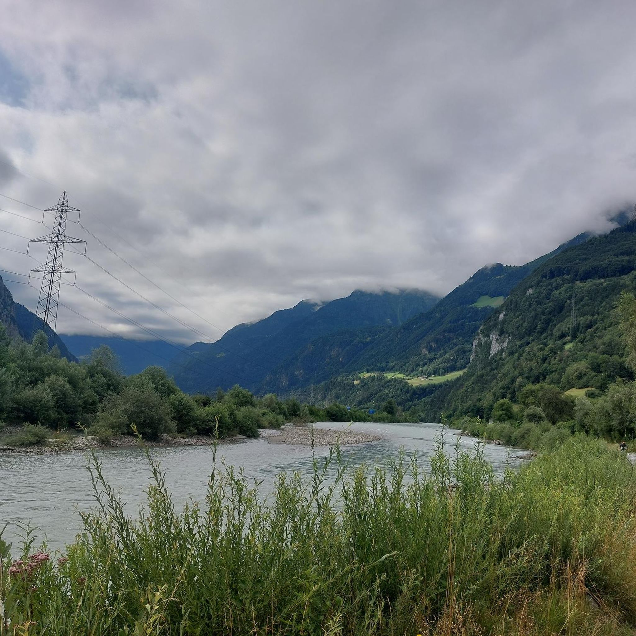
The Reuss is an important river in Switzerland, which originates in the canton of Uri and flows through Lake Uri, bringing fresh water into Lake Uri and is part of the river system that further drains into the Rhine via the Aare.
0
0

Great for hiking or jogging. Along the Reuss River, with many beautiful views.
0
0


Many pedestrians drive considerately
0
0

The path leads past the picturesque Jagdmatt Chapel.
1
0
At the start of the stage, the Schächen flows into the Reuss.
0
0
From the mouth of the Reuss in Lake Lucerne it is another 5 km to the stage destination.
0
0

Ideal for jogging, riding or cycling longer distances
0
0
Frequently Asked Questions
How many running routes are available around Attinghausen?
There are over 170 running routes available in and around Attinghausen, offering a wide variety of options for all fitness levels. The region's diverse landscape, characterized by the Reuss River and its delta, provides numerous paths to explore.
What do other runners say about the trails in Attinghausen?
The running routes in Attinghausen are highly rated by the komoot community, with an average score of 4.2 stars from over 40 reviews. More than 3,800 runners have used komoot to explore the area, often praising the scenic riverside paths and gentle gradients.
Are there routes suitable for beginners or those looking for an easy run?
Yes, Attinghausen offers several easy jogging routes. Approximately 17 routes are classified as easy, featuring gentle gradients and accessible paths, particularly along the Reuss River. These are perfect for beginners or those seeking a relaxed run.
What is the typical length of running routes in Attinghausen?
The running routes in Attinghausen vary in length. Many popular trails range from 4 to 8 miles (6 to 13 km). For example, the Schächen confluence – The Reuss River loop from Altdorf UR is about 4.1 miles (6.7 km), while the Schächen confluence – Reuss Delta with Observation Tower loop from Altdorf UR extends to 7.6 miles (12.2 km).
Can I find circular running routes in Attinghausen?
Yes, many of the running routes around Attinghausen are circular, offering convenient loop options. For instance, the Schächen confluence – The Reuss River loop from Schattdorf is a popular 4.8-mile (7.7 km) loop that follows the river.
Are the jogging trails around Attinghausen suitable for families?
The region's terrain, primarily consisting of gentle gradients and flat paths along the Reuss River and its delta, makes many routes suitable for families. These accessible trails provide a pleasant environment for a family run or walk.
Are dogs allowed on the running trails in Attinghausen?
Generally, dogs are welcome on most outdoor trails in the Attinghausen region, especially on the riverside paths and open fields. However, it's always recommended to keep dogs on a leash, especially in nature protection areas or near livestock, and to respect local signage.
Are there scenic running routes with viewpoints in Attinghausen?
Absolutely. The routes often offer views of the surrounding valley and the Reuss River. The Schächen confluence – Reuss Delta with Observation Tower loop from Altdorf UR specifically passes an observation tower, providing excellent panoramic views of the delta.
What can I see along the jogging routes in Attinghausen?
Along the running routes, you can enjoy the natural beauty of the Reuss River delta and open valley landscapes. Some routes, like the Schächen confluence – Reuss Delta with Observation Tower loop from Altdorf UR, feature an observation tower. Nearby attractions also include natural highlights such as the Aaschlucht Gorge and the Arnisee (Lake Arni), though these might require a slight detour from the immediate jogging paths.
Are there any hidden gem running trails in Attinghausen?
While the main routes along the Reuss River are popular, exploring the network of paths slightly off the main delta can reveal quieter, less-trafficked trails. The region's extensive network of 170 routes means there are always new paths to discover beyond the most well-known ones, offering a sense of discovery for those seeking a unique experience.
Are there running routes that offer parking facilities nearby?
Many running routes in Attinghausen start from towns like Altdorf UR or Schattdorf, which typically offer public parking facilities. It's advisable to check specific starting points for available parking options, especially near popular trailheads.
What is the best time of year to go running in Attinghausen?
The flat and accessible nature of many routes along the Reuss River makes Attinghausen suitable for running for much of the year. Spring and autumn offer pleasant temperatures and vibrant scenery. Even in winter, the lower-elevation paths can be runnable, though conditions should be checked for ice or snow.
Most popular routes around Attinghausen
Most popular attractions around Attinghausen

Get inspired with the komoot mobile app


Explore more
Browse the best Running Trails & Routes in other regions.
