The best walks and hikes around Attinghausen
4.5
(223)
2,144
hikers
26
hikes
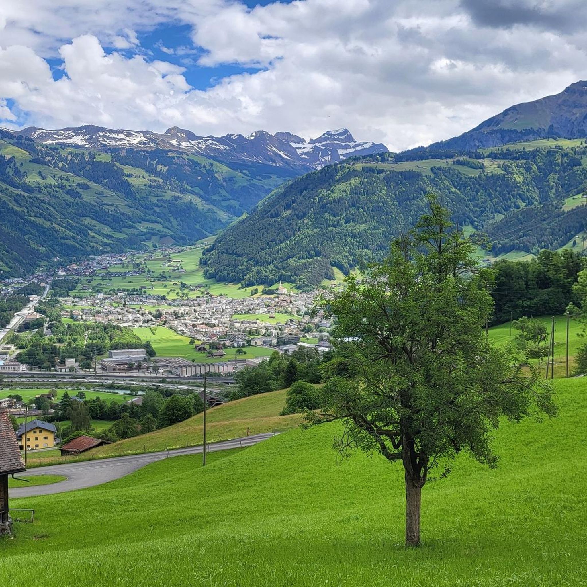
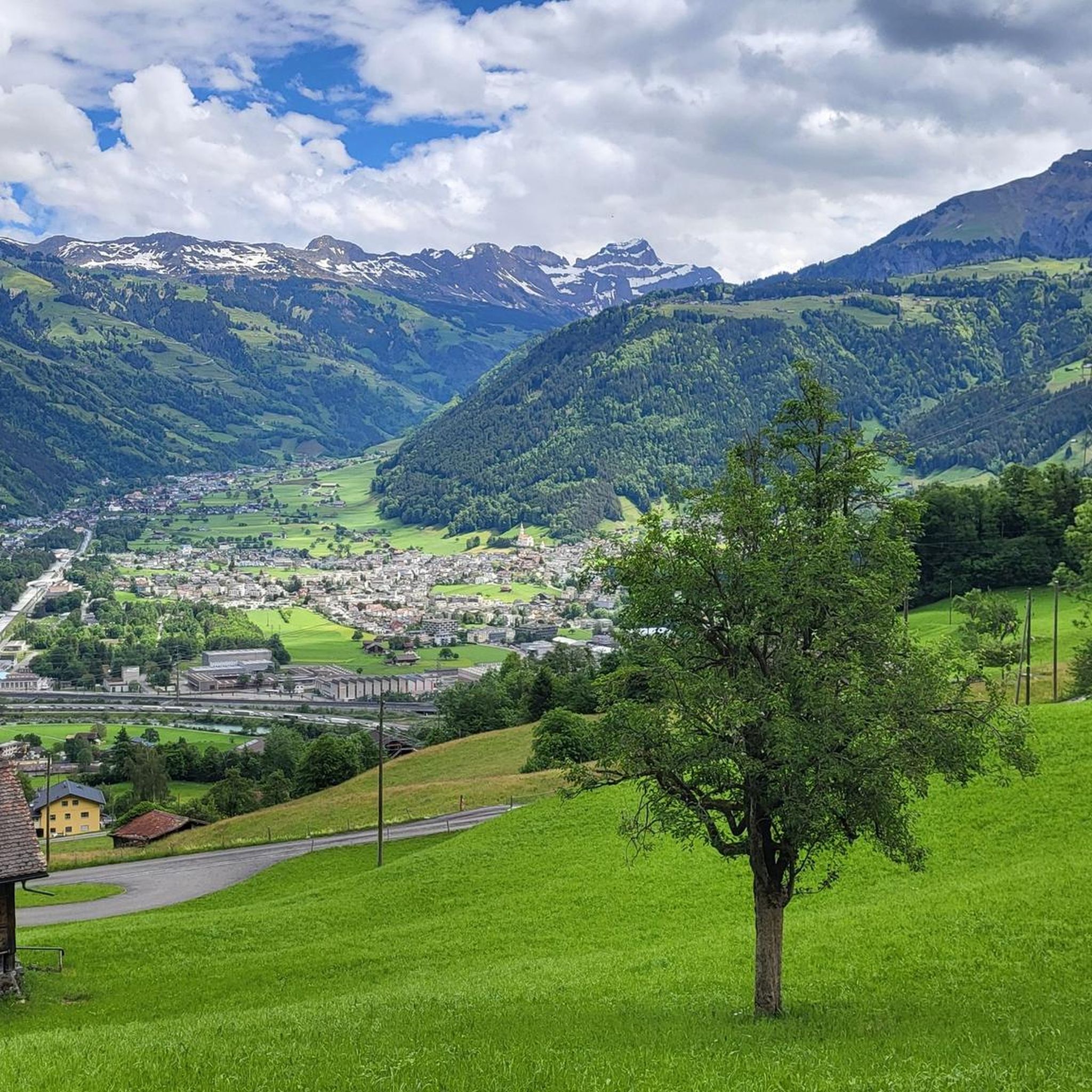
Hiking around Attinghausen offers access to the majestic mountainous terrain of the Swiss Alps, characterized by towering peaks and deep valleys. The region features significant elevation gains through alpine environments and historic alpine passes. Hikers can explore protected high moor landscapes and enjoy panoramic views of the surrounding alpine scenery.
Best hiking trails around Attinghausen
- The most popular hiking route is Surenen Pass – Bürsti Cable Car loop from Berggasthaus Brüsti, a 7.5 miles (12.1 km) trail that takes 5 hours 40 minutes to complete, leading through high alpine terrain with significant elevation gain.
- Another top favourite among local hikers is Catrina Mountain Restaurant – Chräienhöreli loop from Attinghausen, a difficult 9.1 miles (14.6 km) path. This route offers challenging ascents and expansive views of the surrounding mountains.
- Local hikers also love the Ridge – Surenen Pass loop from Brüsti, a 6.7 miles (10.8 km) trail leading through alpine ridges and towards the historic Surenen Pass, often completed in about 4 hours 58 minutes.
- Hiking around Attinghausen is defined by towering peaks, deep valleys, and historic alpine passes. The network offers options for different ability levels, from moderate walks to challenging mountaineering routes.
- The routes in Attinghausen are highly rated by the komoot community with an average score of 4.5 stars from over 200 reviews. More than 2000 hikers have used komoot to explore Attinghausen's varied terrain.
Last updated: July 11, 2026
4.7
(25)
106
hikers
12.1km
05:40
880m
890m
Hard hike. Very good fitness required. Mostly accessible paths. Sure-footedness required.
5.0
(4)
50
hikers
14.6km
06:57
1,310m
1,310m
Hard hike. Very good fitness required. Mostly accessible paths. Sure-footedness required.

Sign up for free
39
hikers
11.0km
05:01
750m
750m
Hard hike. Very good fitness required. Mostly accessible paths. Sure-footedness required.
4.5
(4)
40
hikers
Moderate hike. Great for any fitness level. Mostly accessible paths. Sure-footedness required.
3.8
(4)
37
hikers
Moderate hike. Good fitness required. Easily-accessible paths. Suitable for all skill levels.
Get access to more routes and recommendations from other explorers.
Sign up for free
Already have an account?
Our route recommendations are based on thousands of hikes, rides, and runs completed by other people on komoot.
Start today with a free account
Your next adventure awaits.
Login or Signup


Tips from the Community

Imposing bridge over the Reuss
0
0

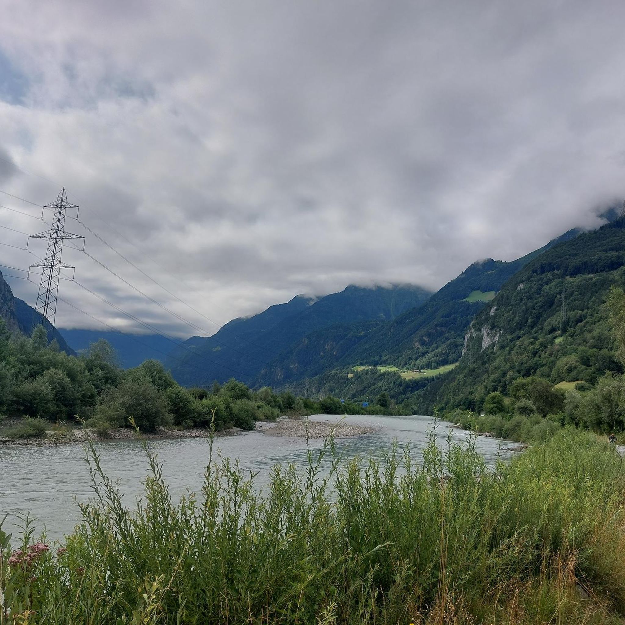
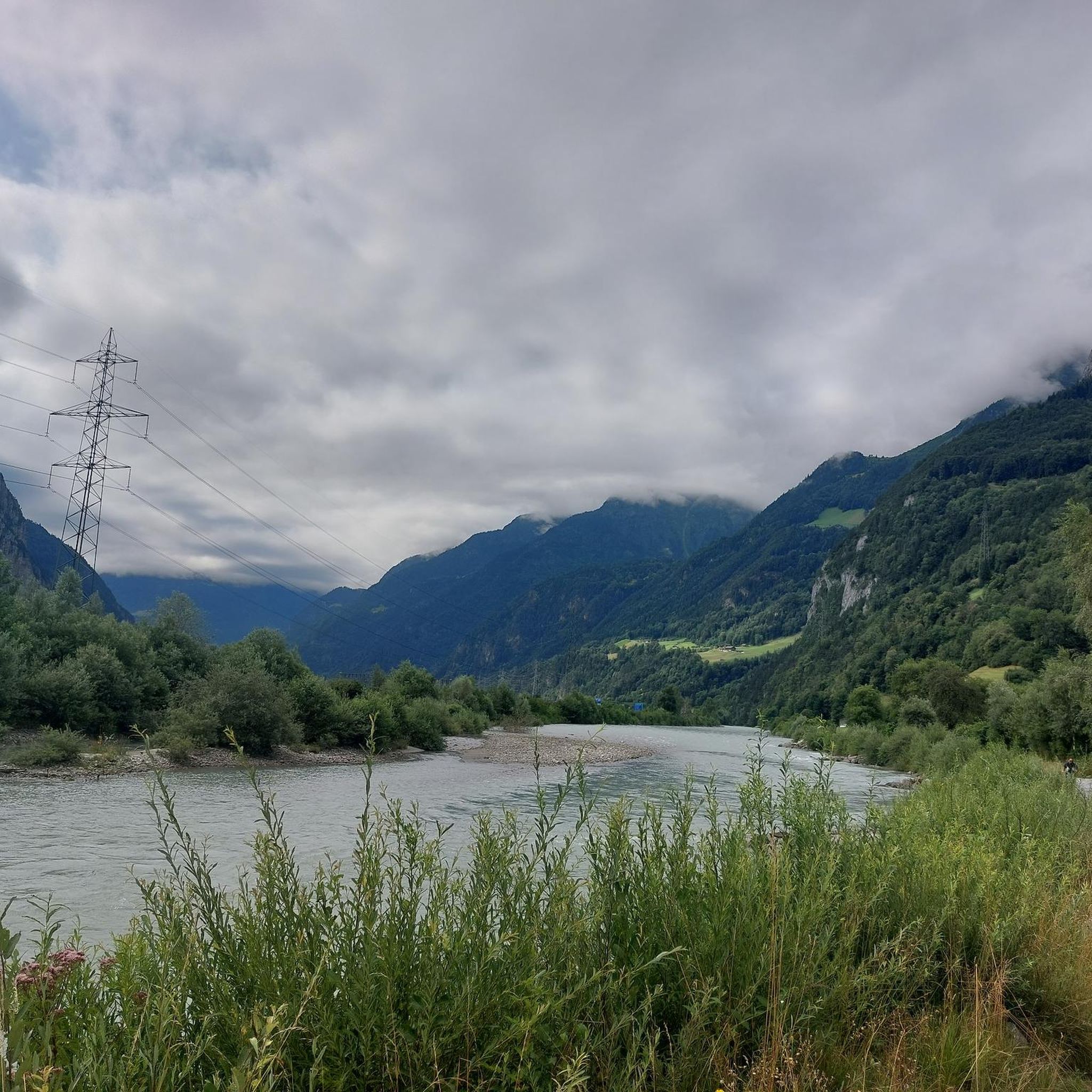
The Reuss is an important river in Switzerland, which originates in the canton of Uri and flows through Lake Uri, bringing fresh water into Lake Uri and is part of the river system that further drains into the Rhine via the Aare.
0
0

The route along the Reuss River is particularly enjoyable. The loop can also be extended toward Flüelen.
0
0
Climbing the tower is worthwhile. The view is most beautiful early in the morning and at dusk. It's worth the detour!
0
0

The descents were very challenging on a bike in the snow, and not all of them were rideable for me. The scenery was incredibly beautiful, so the effort was worth it.
0
0

The first “half” from Blacken to Surenenpass is probably now S1 (easily drivable) thanks to “construction” measures.
0
0

Frequently Asked Questions
What kind of hiking experience can I expect in Attinghausen?
Attinghausen offers a diverse hiking experience, characterized by the majestic mountainous terrain of the Swiss Alps. You'll find towering peaks, deep valleys, and historic alpine passes like the Surenenpass. Trails often feature significant elevation gains, leading through high alpine environments and offering panoramic views of the surrounding scenery. The region caters to various fitness levels, from moderate walks to challenging mountaineering routes.
How many hiking trails are available around Attinghausen?
There are over 25 hiking trails around Attinghausen, ranging in difficulty from easy to difficult. This comprehensive network ensures options for different ability levels, from comfortable walks to demanding mountaineering routes.
Are there easy hiking trails suitable for beginners in Attinghausen?
Yes, Attinghausen offers several easy hiking trails. There are 9 easy routes available, providing comfortable walks through scenic landscapes without requiring extensive fitness or alpine experience. These are perfect for those looking for a relaxed outdoor experience.
What are some challenging hikes for experienced trekkers in Attinghausen?
For experienced trekkers, Attinghausen provides challenging routes with significant elevation gains. One such demanding path is the Catrina Mountain Restaurant – Chräienhöreli loop from Attinghausen, a 9.1-mile (14.6 km) trail with challenging ascents and expansive mountain views. The region also features routes leading to high alpine areas and historic passes like the Surenenpass, which can be part of longer, more strenuous journeys.
Are there any circular hiking routes in Attinghausen?
Yes, many trails in Attinghausen are designed as circular routes, allowing you to start and end at the same point. An example is the Ridge – Surenen Pass loop from Brüsti, a 6.7-mile (10.8 km) trail that takes you through alpine ridges and towards the historic Surenen Pass.
What do other hikers say about the trails in Attinghausen?
The hiking routes in Attinghausen are highly rated by the komoot community, with an average score of 4.5 stars from over 200 reviews. Hikers often praise the stunning alpine scenery, the well-maintained paths, and the diverse challenges offered by the trails, from panoramic ridge walks to demanding ascents.
Can I access hiking trails in Attinghausen using public transport?
Yes, Attinghausen is well-connected by public transport, making it easy to reach many trailheads. The Brüsti area, a popular starting point for hikes, is accessible via cable car from Attinghausen. Switzerland's excellent public transport network generally allows for convenient access to most hiking regions.
Is parking available near the trailheads in Attinghausen?
Yes, parking is generally available near popular trailheads and cable car stations in Attinghausen, such as those leading to the Brüsti area. Specific parking information can often be found on local tourism websites or directly at the starting points of the trails.
Are dogs allowed on the hiking trails in Attinghausen?
Generally, dogs are welcome on hiking trails in the Attinghausen region. However, it's always recommended to keep them on a leash, especially in areas with livestock or protected wildlife. Always ensure your dog is well-behaved and that you clean up after them to preserve the natural environment for everyone.
What natural attractions can I see along the hiking trails in Attinghausen?
Hiking in Attinghausen offers access to a variety of natural attractions. You can explore protected high moor landscapes like Obersee and Fulensee, witness the vast glacier of the Glatt Firn, and enjoy panoramic views of the Engelberg Peaks. The region also features impressive gorges such as the Aaschlucht Gorge, with its natural tunnels and suspension bridges.
Are there any interesting landmarks or points of interest around Attinghausen?
Beyond the natural beauty, Attinghausen is surrounded by interesting landmarks. You can discover historic alpine passes like the Surenenpass, which is part of the impressive Via Suworow. The Risetenstock, a natural monument, offers wonderful views along a high-altitude ridge path. The region also features mountain huts that serve as key attractions and stopping points on longer routes.
Are there any family-friendly hiking options in Attinghausen?
While many trails in Attinghausen involve significant elevation, there are options suitable for families, particularly among the easier routes. The Brüsti area, accessible by cable car, offers a good starting point for less strenuous walks with scenic views. Look for trails with shorter distances and less elevation gain for a pleasant family outing.
What is the best time of year for hiking in Attinghausen?
The best time for hiking in Attinghausen is typically from late spring to early autumn (June to October). During these months, the weather is generally mild, trails are clear of snow, and alpine flora is in full bloom. High alpine routes, especially those over passes, are best enjoyed in mid-summer (July-August) when snowmelt is complete.
Most popular routes around Attinghausen
Most popular attractions around Attinghausen

Get inspired with the komoot mobile app


Explore more
Browse the best Hikes in other regions.
