The best mountain hikes around Attinghausen
5.0
(95)
1,139
hikers
38
hikes
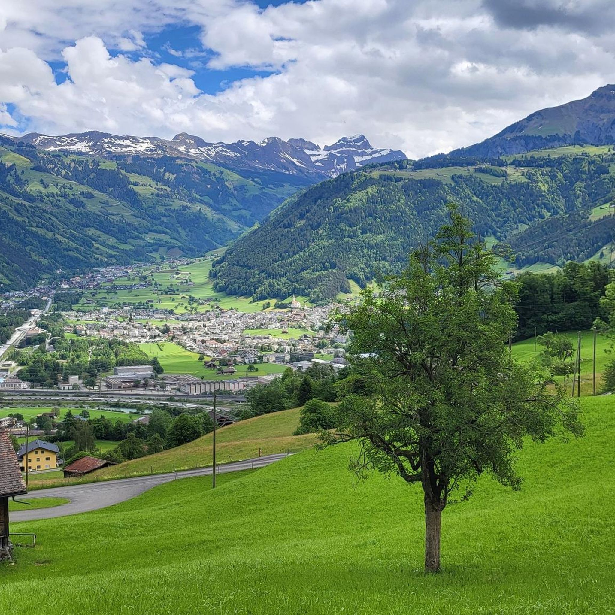
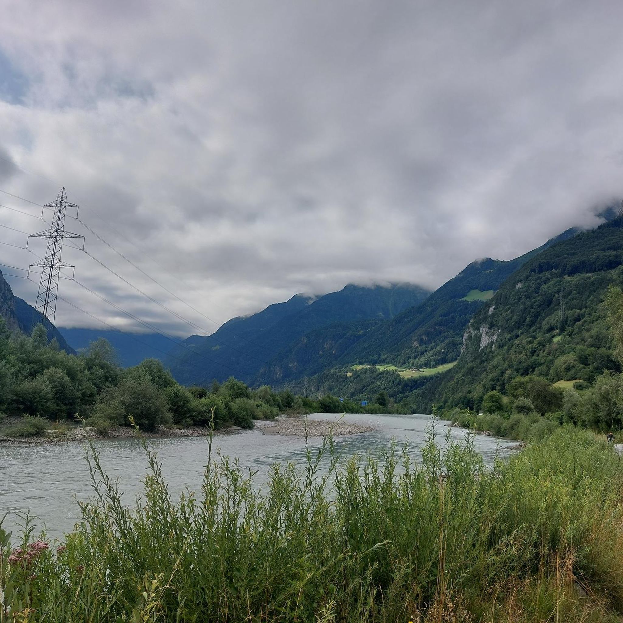
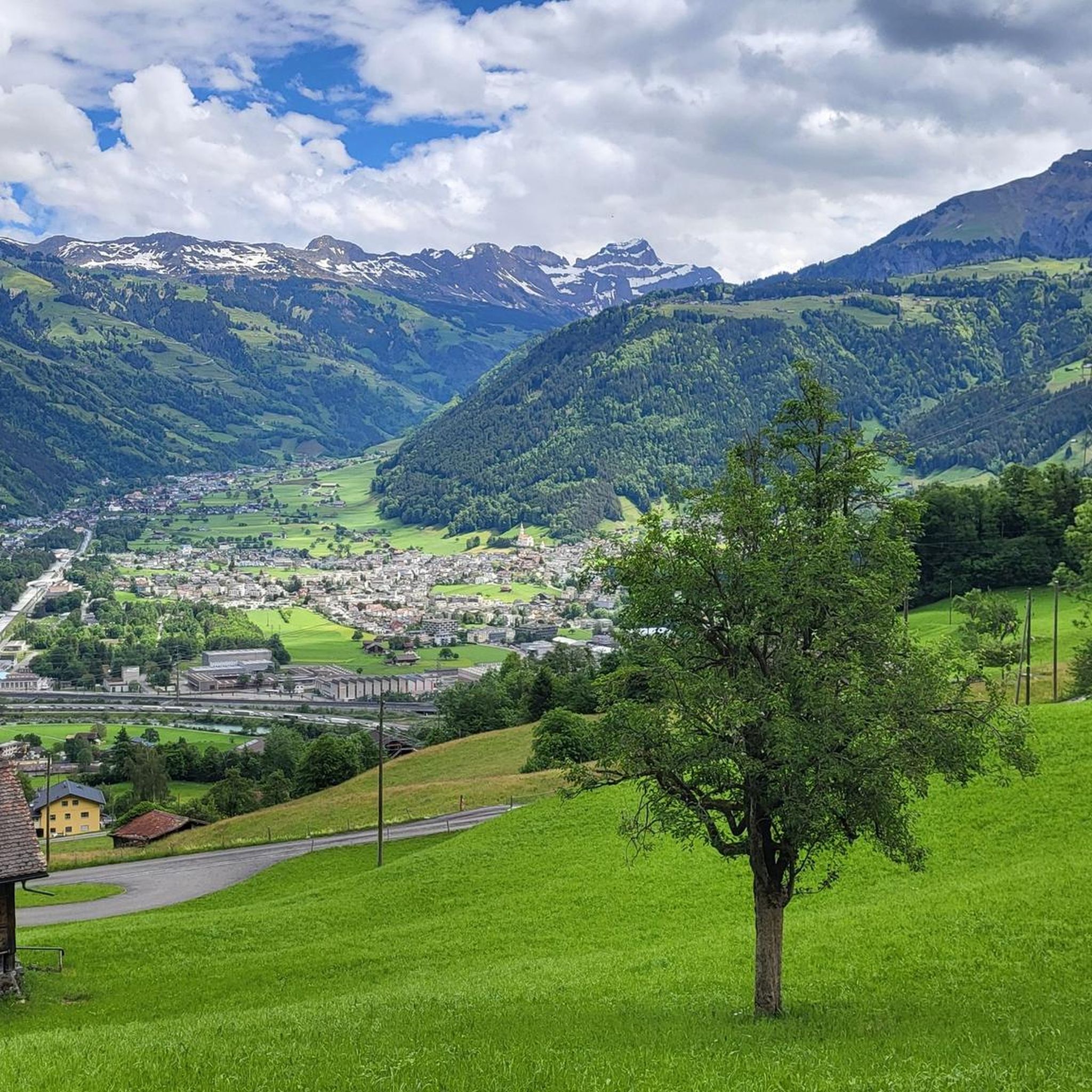
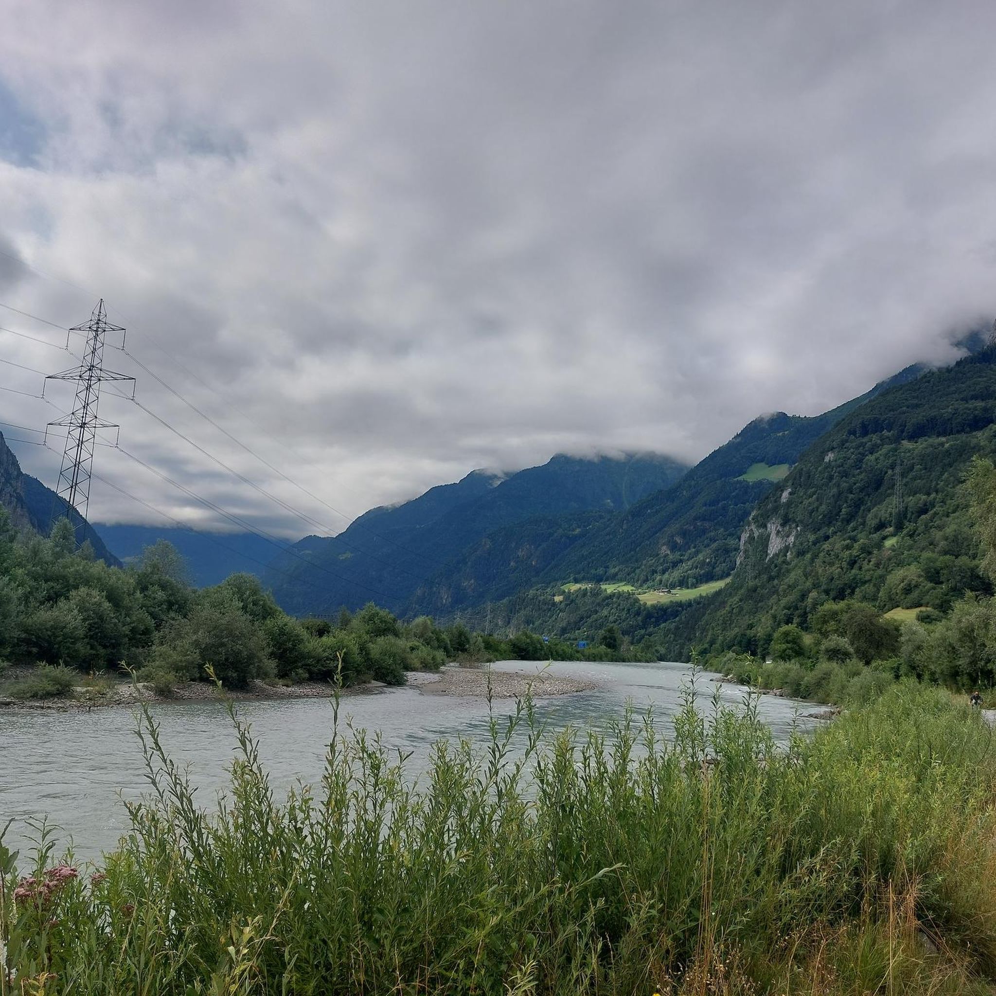
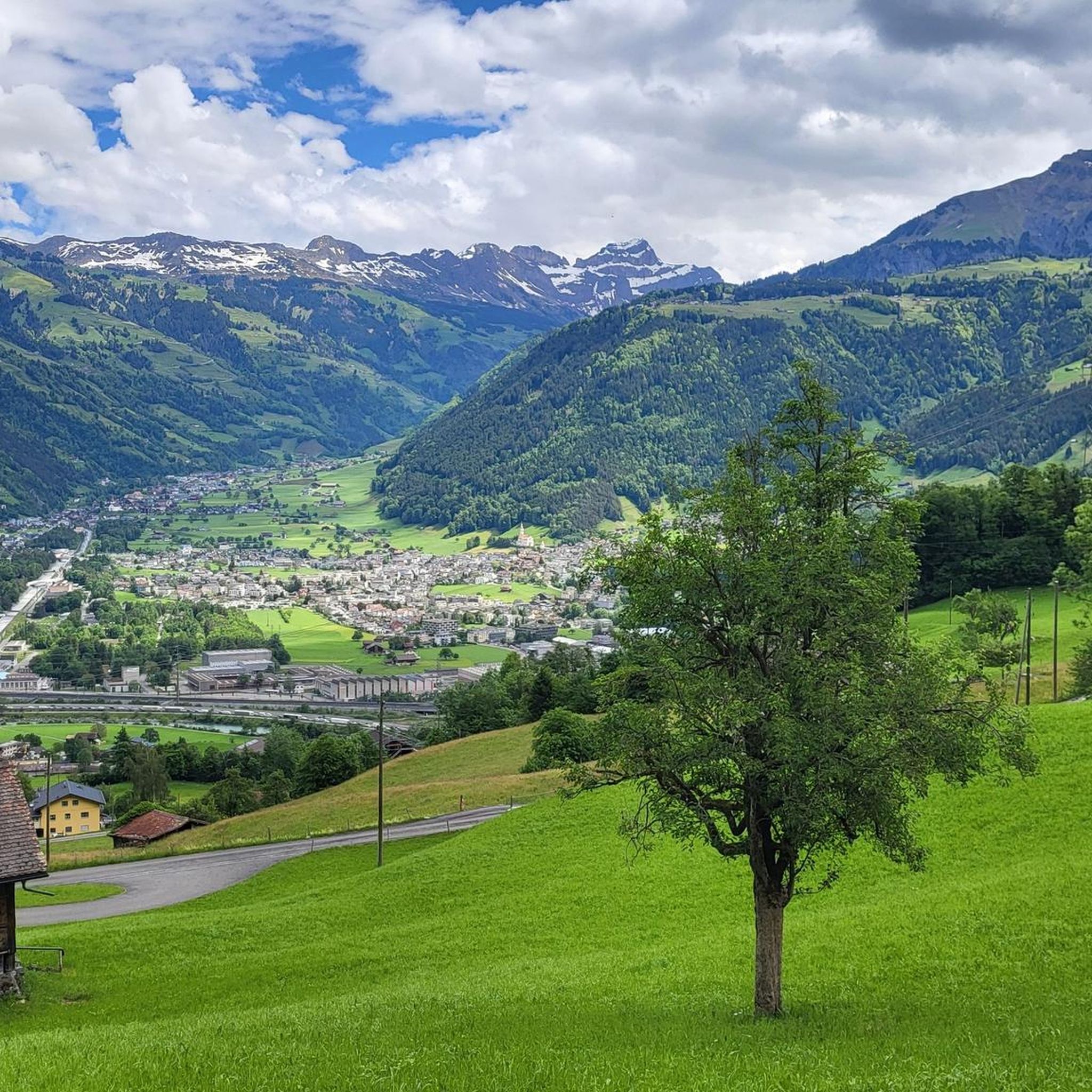
Mountaineering around Attinghausen offers access to the majestic mountainous terrain of the Swiss Alps, characterized by towering peaks and deep valleys. The region, nestled in Canton Uri, provides a diverse range of alpine challenges, from historic passes like the Surenenpass to strenuous ascents. Its strategic location serves as a starting point for exploring varied mountain trails and natural features. This area is ideal for those seeking demanding routes requiring fitness, sure-footedness, and alpine experience.
Best mountaineering routes around Attinghausen
- The…
Last updated: July 6, 2026
5.0
(1)
60
hikers
9.93km
07:02
980m
980m
Hard mountaineering route. Very good fitness required. Sure-footedness, sturdy shoes and alpine experience required.
5.0
(2)
46
hikers
6.85km
04:28
760m
760m
Hard mountaineering route. Good fitness required. Sure-footedness, sturdy shoes and alpine experience required.

Sign up for free
5.0
(3)
34
hikers
Hard mountaineering route. Very good fitness required. Sure-footedness, sturdy shoes and alpine experience required.
4.7
(3)
33
hikers
11.7km
05:42
980m
980m
Hard mountaineering route. Very good fitness required. Sure-footedness, sturdy shoes and alpine experience required.
29
hikers
11.6km
08:22
1,340m
1,340m
Hard mountaineering route. Very good fitness required. Sure-footedness, sturdy shoes and alpine experience required.
Get access to more routes and recommendations from other explorers.
Sign up for free
Already have an account?
Our route recommendations are based on thousands of hikes, rides, and runs completed by other people on komoot.
Start today with a free account
Your next adventure awaits.
Login or Signup

Tips from the Community

wonderful here, simply magical. is worth a visit.
1
0
wonderful here, simply magical. is worth a visit.
1
0
Wonderful here, simply magical. Worth a visit.
1
0
wonderful here, simply super
0
0
wonderful here, simply super
0
0
Frequently Asked Questions
How many mountaineering routes can I explore around Attinghausen?
Attinghausen offers a wide selection of mountaineering routes, with over 30 distinct tours available for exploration. The region is particularly known for its challenging alpine terrain.
What is the general difficulty level of mountaineering routes in Attinghausen?
The majority of mountaineering routes around Attinghausen are classified as difficult, with 31 out of 38 routes falling into this category. There are also 6 moderate routes and 1 easy route, providing options for various skill levels, though the area is best suited for experienced mountaineers.
What do other mountaineers say about the routes in Attinghausen?
The mountaineering routes in Attinghausen are highly regarded by the komoot community, boasting an impressive average rating of 4.9 stars from over 90 reviews. More than 1,100 mountaineers have already explored the diverse terrain here, often praising the majestic mountainous landscapes and challenging ascents.
Are there any circular mountaineering routes in Attinghausen?
Yes, Attinghausen offers several excellent circular mountaineering routes. For example, you could try the challenging Gitschen 2513 m – Musenalp loop from Hinter Chlosterberg, which covers over 11 km with significant elevation gain. Another option is the View of the Uri Alps loop from Berggasthaus Brüsti, offering stunning vistas.
What kind of natural features or landmarks can I expect to see along the mountaineering routes?
The region around Attinghausen is rich in natural beauty. You'll encounter majestic mountainous terrain, historic alpine passes like the Surenenpass, and deep gorges. Nearby, you can also explore stunning natural monuments such as the Natural Tunnel in the Aas Gorge or the impressive Aaschlucht Gorge. The routes often provide panoramic views of the Uri Alps and Engelberg Peaks.
Are there any lakes near the mountaineering trails in Attinghausen?
Yes, the broader region features several beautiful lakes that can be visited. Notable examples include Trübsee, Engstlensee, and Arnisee (Lake Arni). These offer serene spots to relax after a challenging climb or as part of a longer excursion.
What is the best time of year for mountaineering in Attinghausen?
The best time for mountaineering in Attinghausen is generally during the warmer months when trails are free of snow and conditions are more stable. However, the region also transforms into a snow-reliable area in winter, offering opportunities for ski tours and snowshoe hiking, particularly around Brüsti, for those with appropriate experience and gear.
Are there any family-friendly options or areas suitable for a more relaxed outing near Attinghausen?
While many mountaineering routes are challenging, the Brüsti area, accessible via a two-stage cable car, offers a more relaxed experience. It's a popular local excursion and recreation area with amenities like fire pits and playgrounds, making it suitable for families. The Klingenstock–Fronalpstock Ridge Hike, though not directly in Attinghausen, is also noted for being accessible for families with some exposed sections secured.
How can I access the mountaineering routes using public transport?
Attinghausen is well-situated for public transport access. Many routes, such as those starting from Fürenalpbahn, are reachable via local transport connections. For specific route access, it's advisable to check local bus and cable car schedules to plan your journey effectively.
Where can I find parking for mountaineering routes in Attinghausen?
Parking facilities are generally available at key starting points for mountaineering routes, such as near cable car stations like Fürenalpbahn or in village centers. It's recommended to check specific route descriptions or local tourism information for detailed parking options before your trip.
Are there any options for accommodation or places to eat near the trails?
Yes, the region around Attinghausen provides robust infrastructure. You'll find traditional alpine huts, like Brisenhaus SAC, which can serve as excellent starting points or overnight stops for hikes. Berggasthaus Edelweiss is also mentioned as a point of interest on some routes. For more comprehensive information on accommodation and dining, you might find the local tourism website helpful: attinghausen-tourismus.ch.
What are some of the more challenging mountaineering routes for experienced climbers?
For experienced mountaineers seeking a significant challenge, the Gitschen 2513 m – Musenalp loop from Hinter Chlosterberg is a demanding option, featuring over 1300 meters of elevation gain. Another strenuous route is the Sustlihütte – Grassen loop from Wendenhorn, known for its difficult alpine landscapes and considerable ascent.
Most popular routes around Attinghausen
Most popular attractions around Attinghausen

Get inspired with the komoot mobile app


Explore more
Browse the best Mountain Hikes & Routes in other regions.
