The best MTB trails around Attinghausen
4.4
(1177)
8,710
riders
111
rides
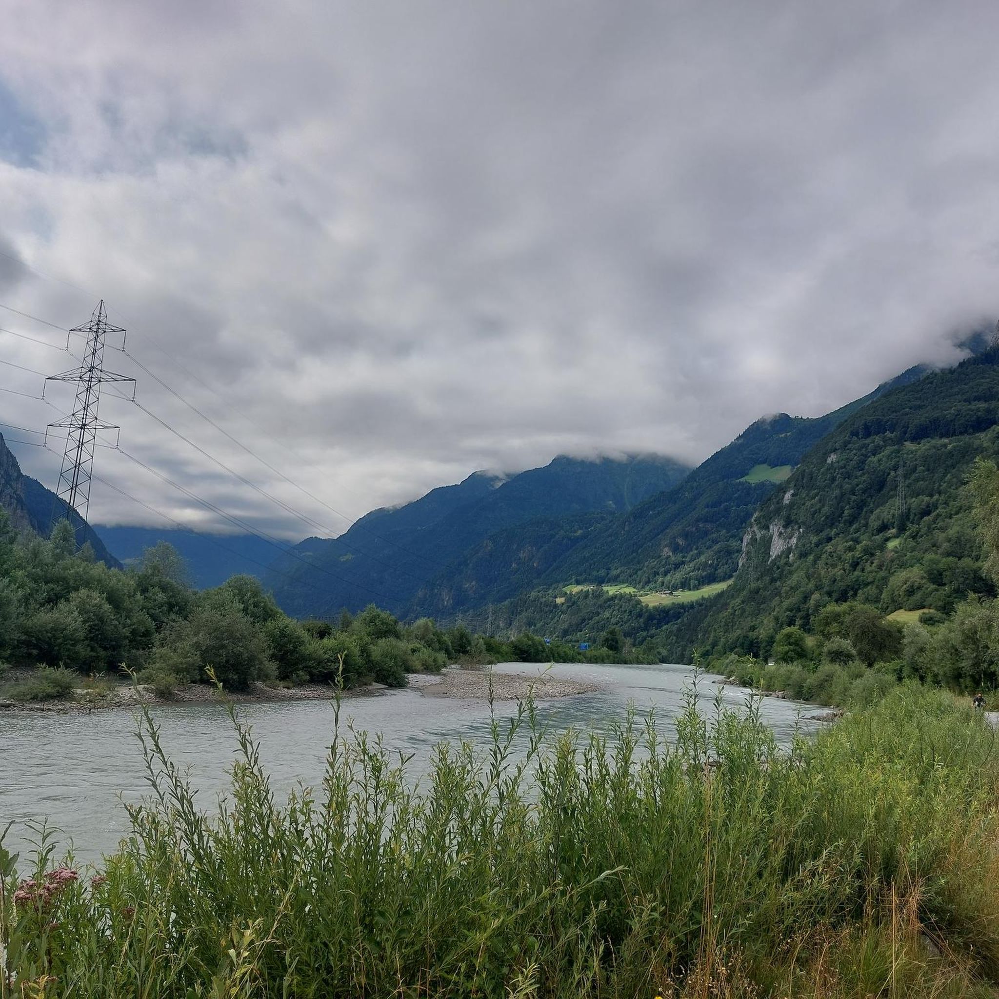
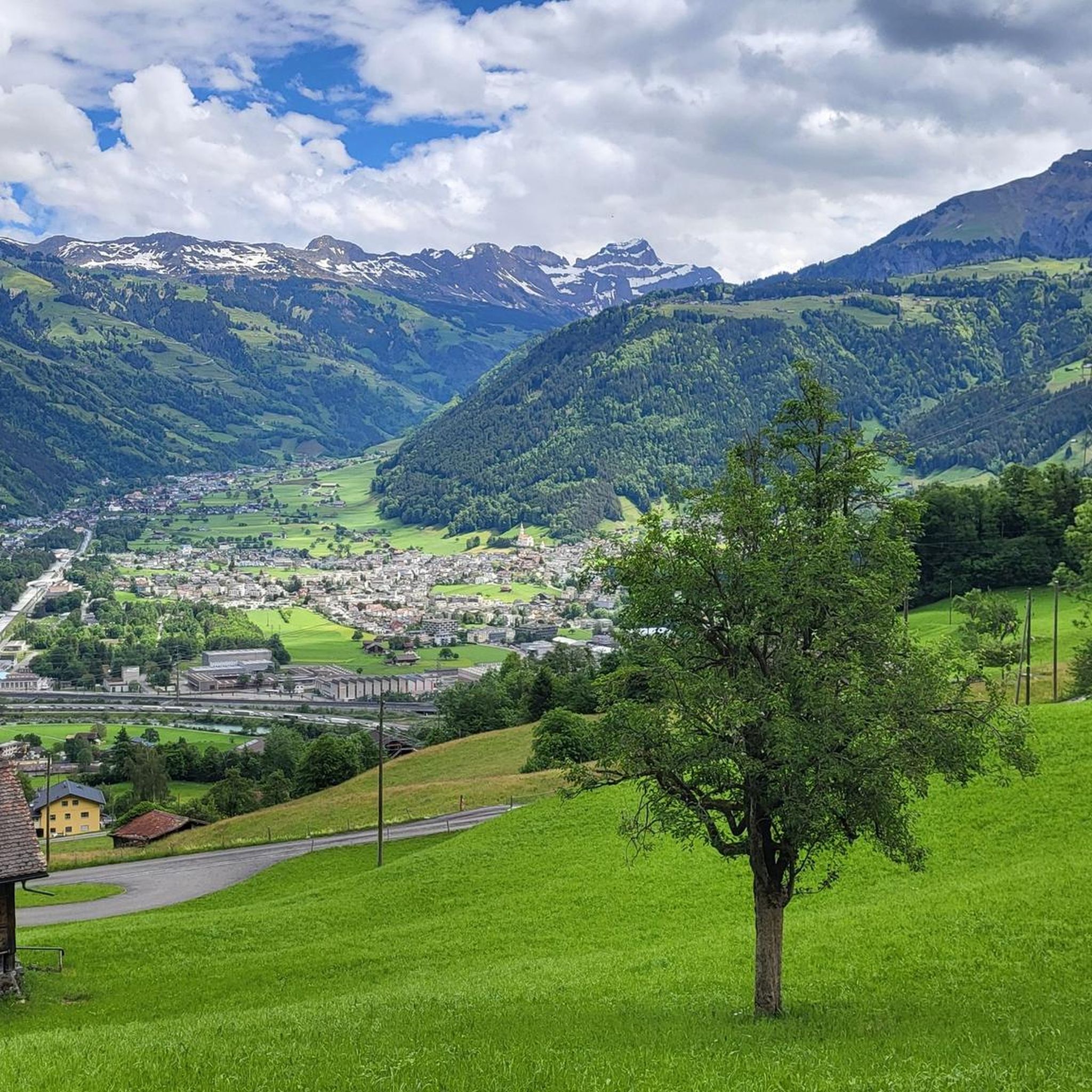
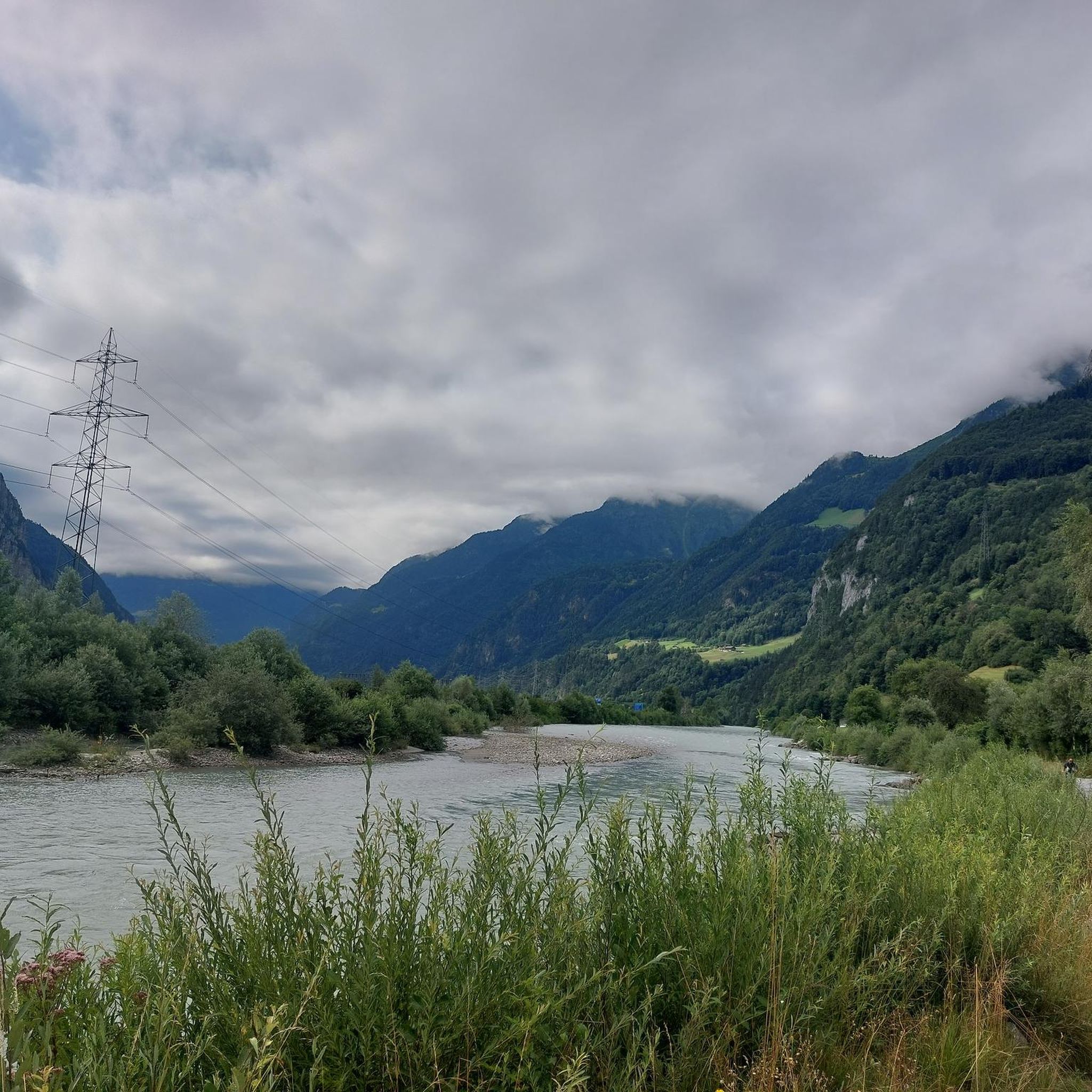
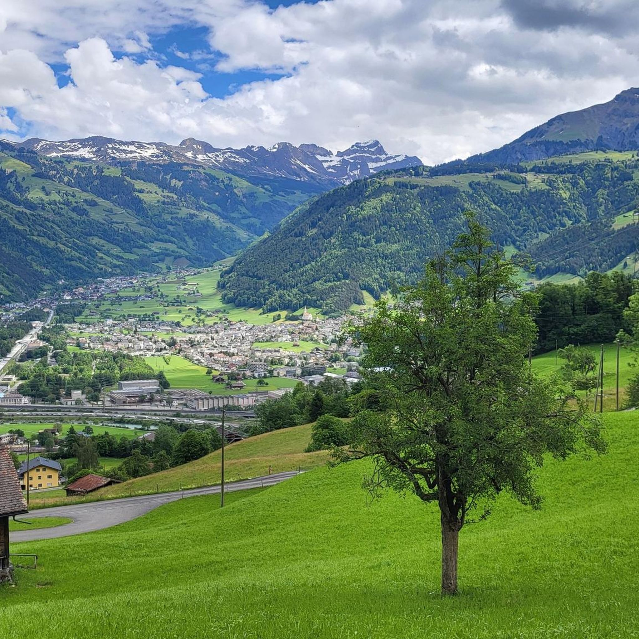
Mountain biking around Attinghausen, in the canton of Uri, Switzerland, offers diverse landscapes and accessible natural features. The region is characterized by mountainous terrain, with peaks and valleys providing challenging and scenic routes. Natural elements such as stream crossings are common, and the area includes the Brüsti recreational area at 1,525 meters above sea level. This geography provides varied terrain for mountain bikers.
Best mountain bike trails around Attinghausen
- The most popular mountain bike trail is Haldi Bike, a…
Last updated: July 7, 2026
4.6
(61)
291
riders
25.7km
02:37
1,010m
1,010m
Hard mountain bike ride. Very good fitness required. Suitable for all skill levels.
4.9
(32)
213
riders
49.4km
04:56
1,600m
1,590m
Hard mountain bike ride. Very good fitness required. Advanced riding skills necessary. Some portions of the route may require you to push your bike.

Sign up for free
4.7
(22)
157
riders
45.8km
04:04
1,220m
1,220m
Hard mountain bike ride. Very good fitness required. Advanced riding skills necessary.
4.6
(26)
211
riders
Moderate mountain bike ride. Good fitness required. Suitable for all skill levels.
4.5
(22)
201
riders
39.3km
03:12
810m
810m
Moderate mountain bike ride. Good fitness required. Suitable for all skill levels.
Get access to more routes and recommendations from other explorers.
Sign up for free
Already have an account?
Our route recommendations are based on thousands of hikes, rides, and runs completed by other people on komoot.
Start today with a free account
Your next adventure awaits.
Login or Signup


Tips from the Community

$Once you've driven up to Brunnialp, you should definitely make the short climb to Trogenalp; the view is very beautiful. Like Brunnialp, there's also a small alpine restaurant here.
0
0
A very nice little alpine restaurant at the back of the Brunni Valley. A fairly large selection. The gingerbread satisfies the hunger very well.
0
0
Very nice, long trail, mostly S1, initial section S2, some high steps in the middle section.
0
0

The power plant was built with natural stones, not with "bricks" as falsely described.
1
0

After you have pedalled up to the Oberfeld, the descent finally comes. Right at the beginning, it leads across a meadow.
1
0
Oberfeld is the end of the mountain bike route. From here you can only go further up by pushing. So it's time to enjoy the phenomenal view and get ready for the descent.
1
0
The Haldi Chapel, one of the landmarks of the Schattdorf mountains, is located on the Sodberg. The chapel was built in 1932 and services are still held there regularly today.
1
0
Frequently Asked Questions
How many mountain bike trails are available around Attinghausen?
Attinghausen offers a wide selection of mountain bike trails, with over 110 routes to explore. These trails cover a tracked distance of 2,187 km, providing diverse options for all skill levels.
What types of terrain can I expect on mountain bike trails in Attinghausen?
The mountain bike trails around Attinghausen are characterized by mountainous terrain, alpine valleys, and natural stream crossings. You'll encounter significant elevation changes, with routes ranging from moderate to difficult, offering a true Swiss Alpine biking experience.
Are there mountain bike trails suitable for beginners or families in Attinghausen?
Yes, while many trails are challenging, Attinghausen does offer options for less experienced riders. There are 12 easy and 48 moderate routes available, providing a good starting point for beginners or families looking for a less strenuous ride. For example, the Schächen confluence – Chärstelenbach Bridge loop from Altdorf UR is a moderate option.
What are some challenging mountain bike routes for advanced riders?
Advanced riders will find plenty of challenging options, with 56 difficult routes available. Notable difficult trails include the Isenthal Bike, a 49.4 km route with extensive ascents and descents, and the Brunnital Bike, which covers 45.8 km through alpine valleys.
What natural features or scenic viewpoints can I discover along the trails?
The region is rich in natural beauty. You can find stunning waterfalls like the Stäuber Waterfall or the Firnbach Waterfall. The Brüsti area, accessible by cable car, offers panoramic views of the valley and surrounding peaks. Many trails also pass through alpine valleys and offer views of various mountain summits such as Klingenstock Summit or Risetenstock.
Are there any historical landmarks or attractions near the mountain bike trails?
Yes, Attinghausen has several historical sites. You can visit the ruins of Attinghausen Castle, a Swiss heritage site dating back to around 1100, or the Wohnturm Schweinsberg. A short distance away in Altdorf, you can find the Tell Monument, and the Tellskapelle is located on the shore of Lake Lucerne.
What is the best time of year for mountain biking in Attinghausen?
The best time for mountain biking in Attinghausen is typically during the warmer months, from late spring through early autumn, when trails are clear of snow and weather conditions are most favorable. During winter, the Brüsti area transforms into a snowy landscape, suitable for snowshoeing and skiing rather than mountain biking.
Are there any circular mountain bike routes in the area?
Yes, many of the mountain bike trails around Attinghausen are designed as loops, allowing you to start and finish at the same point. An example of a challenging loop is the Arnisee – Arnisee loop from Altdorf UR, which covers over 50 km.
What do other mountain bikers say about the trails in Attinghausen?
The mountain bike trails in Attinghausen are highly regarded by the komoot community, with an average rating of 4.5 stars from over 1000 reviews. Riders often praise the diverse landscapes, challenging terrain, and the well-maintained network of trails that cater to various skill levels.
Is public transport available to access mountain bike trails in Attinghausen?
Attinghausen's strategic location along the Gotthard route suggests good connectivity. While specific public transport links to trailheads vary, the region is generally well-served, allowing access to various starting points for your rides. The Brüsti area, a popular recreational spot, is accessible by cable car from Attinghausen.
Are there any specific regulations or permits required for mountain biking in Attinghausen?
Generally, mountain biking on marked trails in Switzerland does not require specific permits beyond respecting local signage and rules. However, it's always advisable to check local regulations or information from Attinghausen Tourismus for any specific requirements or temporary closures before your ride.
Most popular routes around Attinghausen
Most popular attractions around Attinghausen

Get inspired with the komoot mobile app


Explore more
Browse the best MTB trails in other regions.
