The best running trails in the La Sal Mountains
4.4
(7)
852
runners
46
runs
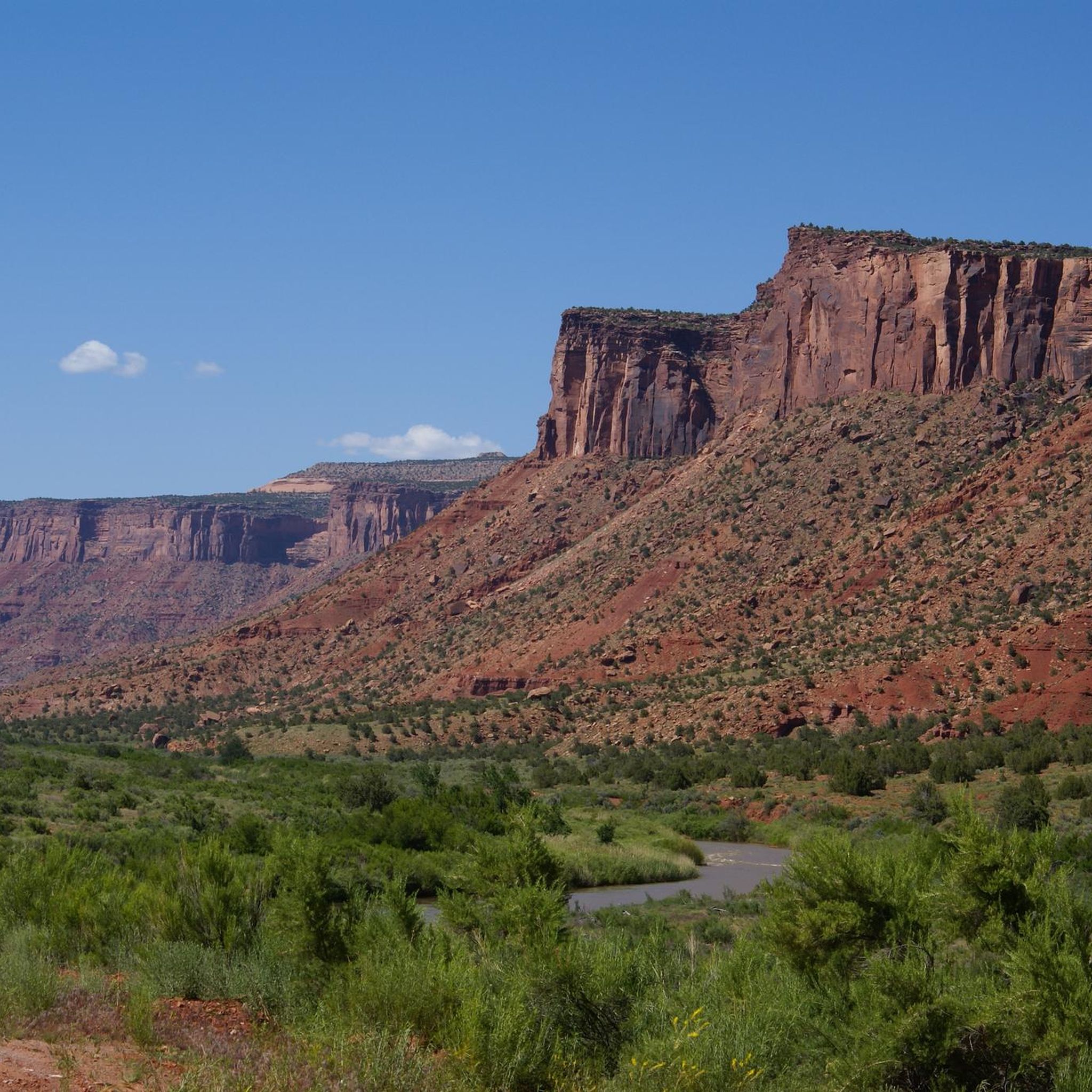
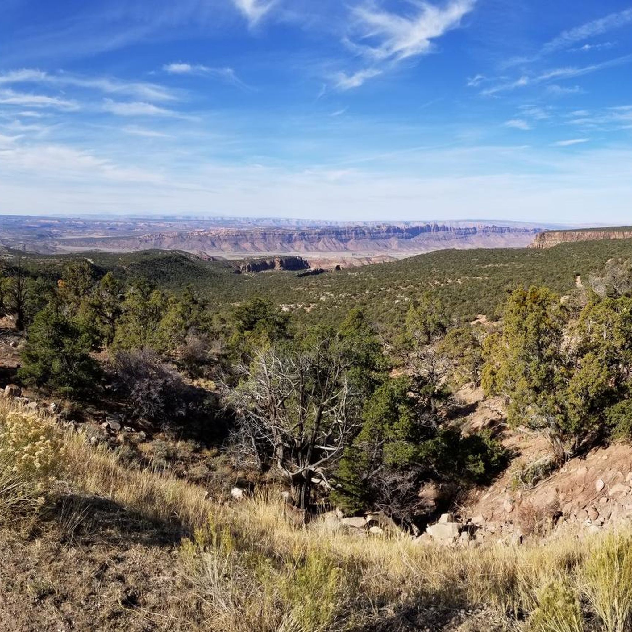
Jogging in the La Sal Mountains offers a diverse range of landscapes, contrasting with the arid red rock desert below. This volcanic range features cooler temperatures and an ecological transition from pinyon and juniper trees at lower elevations to dense pine, aspen, spruce, and fir forests higher up. The region includes picturesque alpine lakes and provides panoramic vistas of surrounding canyons and towering peaks.
Best jogging routes in the La Sal Mountains
- The most popular jogging route is Delicate Arch Trail, a 3.3 miles (5.3 km) trail that takes 50 minutes to complete. This difficult route features substantial elevation gain and iconic geological formations.
- Another top favourite among local runners is Grandstaff Canyon Trail, a moderate 4.8 miles (7.7 km) path. This route winds through a lush desert canyon with multiple creek crossings.
- Local runners also love the Fisher Towers Trail, a 4.3 miles (6.9 km) trail leading through unique red rock formations, often completed in about 56 minutes.
- Jogging in the La Sal Mountains is defined by alpine lakes, dense forests, and panoramic vistas. The extensive network offers options for various ability levels, from leisurely runs to demanding ascents.
- The routes in La Sal Mountains are highly rated by the komoot community with an average score of 4.7 stars from more than 5 reviews. More than 700 runners have used komoot to explore La Sal Mountains's varied terrain.
Last updated: July 7, 2026
247
runners
5.34km
00:50
160m
160m
Prepare for a difficult jogging experience on the Delicate Arch Trail, covering 3.3 miles (5.3 km) with a challenging 526 feet (160 metres) of elevation gain. You can expect to complete this route in about 50 minutes. The trail begins near the historic Wolfe Ranch and ancient Ute petroglyphs, quickly transitioning to an open slickrock ascent. As you follow the cairns, you will be treated to dramatic desert vistas before the iconic Delicate Arch, a 46-foot high natural monument, finally comes into view.
When planning your visit, remember that the trail offers very little shade, especially during the warmer months. It is crucial to carry at least 2 quarts of water per person and try to avoid jogging during the midday heat. If you plan to visit in winter, be aware that ice can make parts of the route extremely slippery, so consider bringing traction devices for your shoes. Always check current park conditions before heading out.
This route is notable for its dramatic reveal of Delicate Arch, a natural sandstone arch that stands as a prominent symbol of Utah. The trail itself provides a journey through diverse desert terrain, from historical sites to expansive slickrock landscapes. It offers a unique opportunity to experience the raw beauty and geological wonders of Arches National Park up close.
5.0
(1)
58
runners
7.69km
00:57
110m
110m
Embark on a moderate jogging adventure along the Grandstaff Canyon Trail, a 4.8-mile (7.7 km) route that winds through a vibrant desert oasis. You will gain 372 feet (113 metres) in elevation, typically completing the journey in about 57 minutes. As you jog, you will follow a clear stream, surrounded by towering sandstone walls and lush riparian vegetation, leading you to the impressive Morning Glory Natural Bridge. This trail offers a refreshing contrast to the arid Moab landscape.
When planning your visit, be prepared for high temperatures, often exceeding 100 degrees Fahrenheit, so carry plenty of water and electrolytes. Cell service is limited throughout the canyon. Be aware that recent flash floods have left some debris and damaged vegetation, potentially making certain sections more challenging. Also, keep an eye out for poison ivy, especially as you approach the Morning Glory Bridge.
The Grandstaff Canyon Trail is nestled within a Wilderness Study Area, offering a unique glimpse into a rare desert ecosystem. The route showcases striking geological formations, from the colorful, ripple-textured sandstone walls to the magnificent natural bridge itself. This trail stands out in the region for its unexpected lushness, providing a cool, shaded escape from the desert heat and a memorable jogging experience.

Sign up for free
14
runners
6.87km
00:56
220m
230m
Embark on the Fisher Towers Trail for a moderate jogging experience through a landscape of dramatic red rock formations. This route covers 4.3 miles (6.9 km) and involves a gain of 735 feet (224 metres) in elevation, typically taking about 56 minutes to complete. As you jog, you'll encounter towering fins, pinnacles, and spires, with the impressive 900-foot-tall Titan, the largest freestanding sandstone spire in the U.S., serving as a prominent landmark.
When planning your visit, remember that the trail offers minimal shade. It's wise to carry ample water and consider jogging in the early morning or evening, especially during warmer days, to avoid the midday heat. The trailhead is conveniently accessible via a well-maintained gravel road, just off UT-128, making it easy to reach by car.
The Fisher Towers Trail provides ever-changing views of these unique geological structures, often described as 'weird and wonderful.' Beyond the immediate rock formations, you'll also enjoy expansive vistas of Onion Creek and the scenic Colorado River corridor, highlighting the distinctive natural environment of the Fisher Towers Recreation Area.
5
runners
12.2km
01:31
160m
160m
Embark on a moderate jogging adventure along the Professor Creek and Mary Jane Canyon Trail, covering 7.6 miles (12.2 km) with an elevation gain of 510 feet (156 metres). You can expect to complete this route in about 1 hour and 31 minutes. The trail begins across open desert, offering views of distant mesas before leading you into the dramatic Mary Jane Canyon. Here, vibrant red rock walls rise 80 to 100 feet high, narrowing to just 10 to 20 feet wide, creating a unique corridor. Lush green vegetation lines Professor Creek, providing a striking contrast to the red rock, and the journey culminates at the picturesque Slytherin Falls, a 20 to 30 foot double-tongued waterfall.
This trail is accessible year-round, but warm weather is highly recommended due to the numerous water crossings you will encounter. You will often find yourself jogging directly in the streambed, so be prepared for wet feet. Always check local weather forecasts before you head out, as flash floods are a possibility during or after rainstorms in this region. Planning your visit for a clear, warm day will ensure the most enjoyable experience on the route.
What makes this trail particularly notable is its unique character as a wet adventure near Moab, Utah. Unlike many desert trails, the Professor Creek and Mary Jane Canyon Trail offers a refreshing experience with its frequent creek crossings and the presence of a waterfall. The geological formations within Mary Jane Canyon, with its towering, narrow walls, create an immersive natural environment that feels distinct from the surrounding desert landscape. It's a memorable way to experience the area's natural beauty.
4
runners
19.6km
02:07
220m
220m
Embark on a difficult jogging route that takes you through a dramatic red rock canyon, offering spectacular views of Arches National Park and the Moab Rim. You will cover 12.2 miles (19.6 km) with a significant elevation gain of 722 feet (220 metres), which typically takes around 2 hours and 7 minutes to complete. The terrain shifts from the smooth blacktop of the Moab Canyon Pathway to the varied singletrack and slickrock of the Moab Brands Trail system. As you jog, you will pass classic red rock formations, often dotted with juniper and sagebrush, with some sections near the Courthouse Wash pictograph panel feeling otherworldly. This diverse landscape provides a challenging yet rewarding experience for joggers.
This route offers convenient access, connecting the town of Moab directly to two national parks and one state park. You can easily reach the trailhead, which provides a safe, non-motorized path, keeping you away from the busy Highway 191. The Moab Brands Trail System is readily accessible from the Moab Canyon Pathway. Its single trailhead is designed to accommodate joggers of various skill levels, making it straightforward to begin your adventure.
This trail is notable for its dual nature, combining the paved Moab Canyon Pathway with the rugged, natural surfaces of the Moab Brands Trail System. It serves as a vital non-motorized corridor, linking Moab to significant natural attractions while offering a unique blend of smooth and technical jogging. The route's proximity to Arches National Park and the Moab Rim highlights its integration into the region's stunning geological landscape.
1
runners
13.0km
01:38
200m
200m
Embark on the Mill Creek Trail for a moderate jogging experience that winds through lush woodlands and alongside the bubbling Mill Creek. This route spans 8.1 miles (13.0 km) and features an elevation gain of 673 feet (205 metres), typically taking about 1 hour and 38 minutes to complete. You will discover picturesque scenery, including the beautiful Mill Creek Waterfall and the impressive Otho Natural Bridge, offering refreshing views as you jog.
To plan your visit, parking is conveniently available at the Mill Creek Trailhead, making access straightforward for your outing. While the trail is generally well-maintained, be aware that some natural sections might have rocky patches or overgrown areas, requiring careful footing. Always check local conditions before heading out, especially if there has been recent rain, to ensure a smooth and enjoyable jog.
The Mill Creek Trail is nestled within the Mill Creek Canyon Wilderness Study Area, providing a rich natural backdrop for your activity. As you move along the path, keep an eye out for local wildlife; deer and various bird species are frequently spotted in this vibrant ecosystem. This trail offers a rewarding connection with nature, making it a notable option for those seeking a solid workout amidst scenic surroundings.
1
runners
13.9km
01:44
200m
200m
The Slickrock and Hell's Revenge Loop offers a unique jogging experience across petrified sand dunes and rolling hills made of Navajo Sandstone. You will navigate a demanding landscape with constant, steep elevation changes and uneven surfaces, making this a moderate route. Over 8.6 miles (13.9 km), you will gain 648 feet (198 metres) in elevation, typically taking about 1 hour and 44 minutes to complete. The trail provides spectacular panoramic views of the Colorado River, Arches National Park, and the La Sal Mountains, particularly from the Colorado River lookout. This otherworldly scenery often feels like jogging on Mars.
When planning your visit, be aware that the Slickrock and Hell's Revenge Loop is a multi-use trail. You will share the path with mountain bikers, motorcyclists, and 4x4 vehicles, so stay alert for other traffic. There is no shade or drinking water available along the route, so carry plenty of hydration, especially on hot days. The slickrock surface can become extremely slippery when wet, making the trail hazardous in rainy conditions. Consider starting early to avoid peak traffic and heat.
This route combines two world-renowned trails, offering a distinct adventure for experienced joggers. The
56
runners
17.1km
01:51
260m
260m
Hard run. Very good fitness required. Mostly paved surfaces. Suitable for all skill levels.
37
runners
Moderate run. Good fitness required. Mostly paved surfaces. Suitable for all skill levels.
21
runners
57.0km
06:56
990m
990m
Hard run. Very good fitness required. Mostly accessible paths. Some sure footedness required.
Get access to more routes and recommendations from other explorers.
Sign up for free
Already have an account?
Our route recommendations are based on thousands of hikes, rides, and runs completed by other people on komoot.
Start today with a free account
Your next adventure awaits.
Login or Signup
Popular around La Sal Mountains
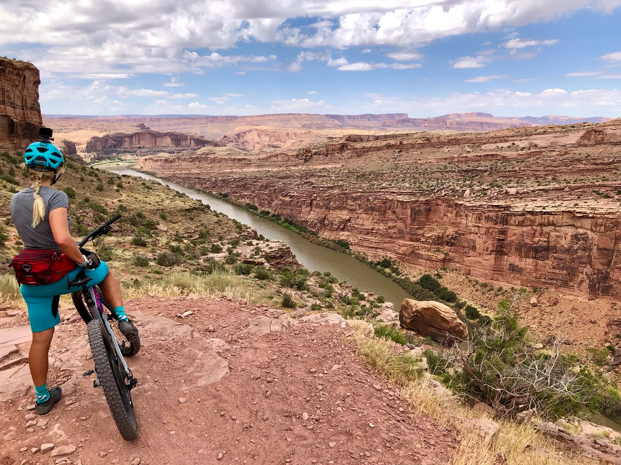
Kokopelli's Trail — Biking a legend’s trail across the desert

Canyons, Plateaus and Hoodoos – discover Southwest USA
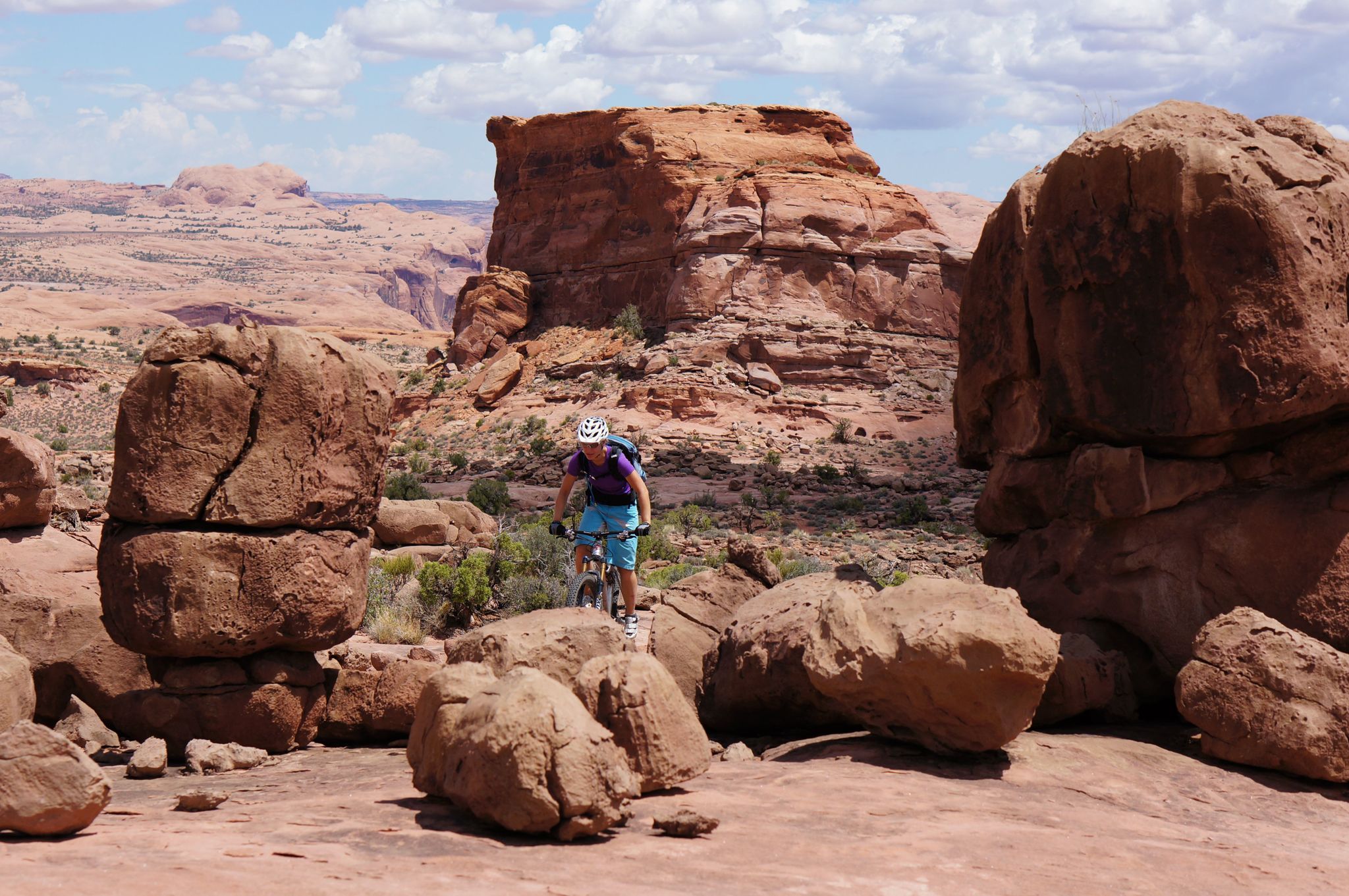
MTB Trip to Moab – a mountain bike Mecca in Utah
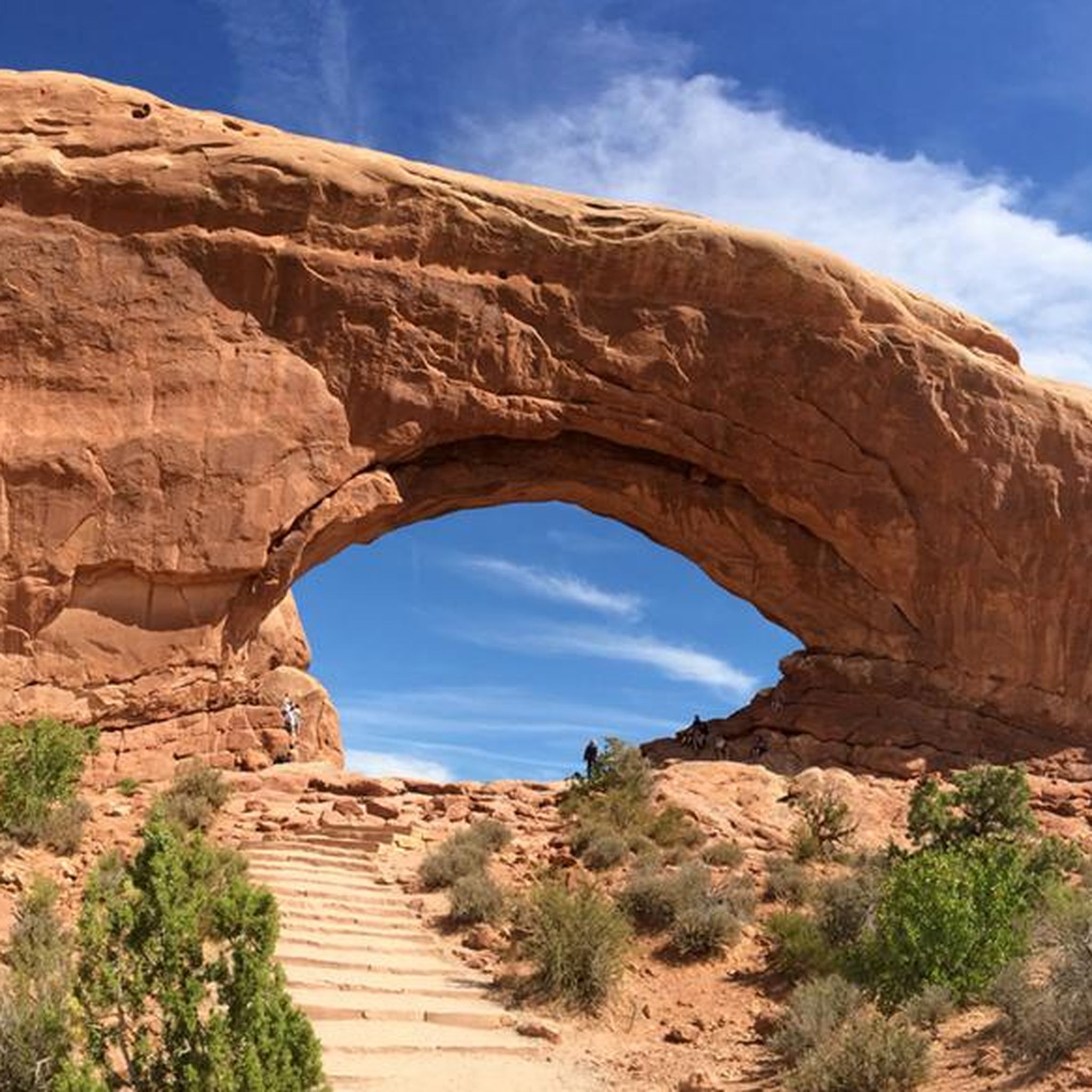
Hiking in the La Sal Mountains
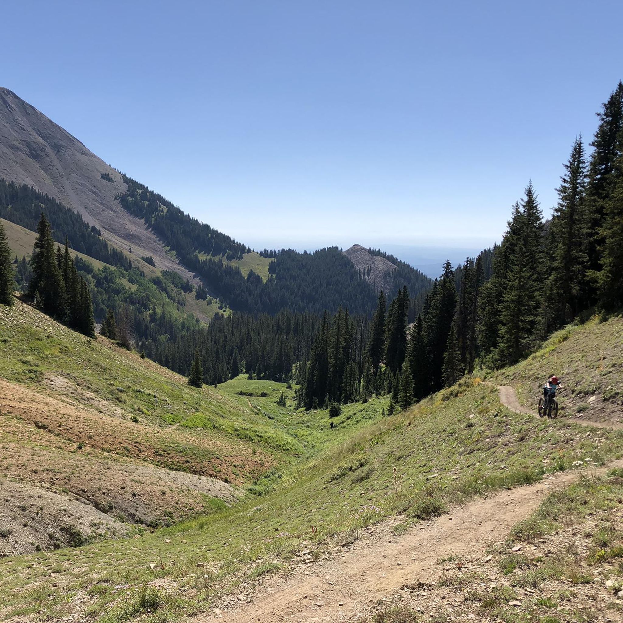
MTB Trails in the La Sal Mountains
Cycling in the La Sal Mountains
Road Cycling Routes in the La Sal Mountains

Gravel biking in the La Sal Mountains
Other adventures in the La Sal Mountains


Tips from the Community

Parts of the cycle path along US-191
1
0


The Wolfe Ranch in Arches National Park is a historic settlement site and the starting point for the hike to the famous Delicate Arch. A simple log cabin (built in 1906) and other remnants (such as a cellar and a pen) of a small ranch founded by Civil War veteran John Wesley Wolfe in the late 19th century. Located on Salt Wash, northeast of present-day Moab, where Wolfe and his family attempted to raise cattle and farm in isolation, the ranch remains serve as a historical attraction and a parking area and trailhead for the popular Delicate Arch hiking trail and a short trail to petroglyphs (rock carvings). It offers a glimpse into the harsh pioneer life in arid Utah.
0
0

This is a great place to end your run, with a beautiful view over the Colorado River. Take a moment to enjoy the landscape before heading back.
0
0
One of the wildest runs in Moab, with rolling slickrock, steep climbs, and nonstop views. The traction’s great, but it’s tough on the legs. Follow the white markings, bring plenty of water, and don’t expect an easy cruise. This trail is also popular with mountain bikers—and mostly used by them—so stay alert and be respectful.
0
0

The Maob Canyon Pathway is a 9 mile paved bike path that starts on Highway 128, just north of Moab. It is a great way to get into or out of Moab without having to share the road with traffic.
1
0

Delicate Arch, Moab, Utah, United States 🇺🇸 Delicate Arch is arguably the most famous natural arch in the world, renowned for its majestic beauty and the stunning, unobstructed views it offers of the surrounding red rock landscape. Carved by millennia of wind and water erosion, this iconic sandstone arch stands proudly at 52 feet tall, a testament to the powerful forces of nature. Visiting at sunrise or sunset offers an unparalleled experience, as the changing light paints the arch and the distant La Sal Mountains in an unforgettable array of colors, from fiery reds to soft pastels. The hike to Delicate Arch is a moderately strenuous 3-mile round trip, but every step is rewarded with increasingly dramatic vistas. The trail, though well-maintained, includes a steep climb over slickrock, so sturdy footwear and plenty of water are essential. Along the way, hikers can observe fascinating geological features, including desert varnish and potholes, adding to the richness of the journey. The final approach to the arch offers a breathtaking reveal, making the effort entirely worthwhile. Delicate Arch is not just a geological wonder; it's a symbol of Utah and a must-see for anyone exploring Arches National Park. Its isolated position and the expansive desert backdrop create a sense of awe and wonder, inviting visitors to reflect on the immense scale of geological time and the delicate balance of ecosystems. Remember to pack out everything you pack in, and leave no trace to help preserve this incredible natural treasure for future generations.
3
0

At the beginning of 1900, cattle breeders lived here...just imagine who could/would do that today...
0
0
Frequently Asked Questions
How many running routes are available in the La Sal Mountains?
There are over 35 dedicated running routes in the La Sal Mountains, offering a wide variety of terrain and difficulty levels. This extensive network ensures options for everyone, from leisurely runs to demanding ascents.
What is the best time of year to go jogging in the La Sal Mountains?
The La Sal Mountains are an excellent choice for jogging during warmer months, as temperatures are typically 10-20 degrees Fahrenheit cooler than in Moab. This makes late spring, summer, and early fall ideal for enjoying the trails, vibrant meadows, and shaded forests.
Are there any easy running routes suitable for beginners or families?
Yes, the La Sal Mountains offer several easier routes. While specific 'easy' routes aren't detailed in the provided data, the region generally has trails up to 3 miles long with minimal elevation gain, often on mostly paved surfaces, suitable for all skill levels. Look for routes described as 'easy' on komoot to find the best fit.
What kind of terrain can I expect on the running trails in the La Sal Mountains?
The terrain in the La Sal Mountains is incredibly diverse. You'll find everything from relatively flat paths to challenging steep sections with rocks and roots. Lower elevations feature pinyon and juniper trees, transitioning to dense pine and aspen forests, and even spruce and fir at higher altitudes, offering varied running surfaces and scenic backdrops.
Are there any advanced or challenging running trails in the La Sal Mountains?
Absolutely. For experienced runners seeking a challenge, the La Sal Mountains offer routes exceeding 10 miles in length or 1000 feet of elevation gain, featuring tricky, steep, and sometimes hazardous terrain. An example is the Moab Canyon Pathway and Moab Brands Trail Loop, which is a difficult 12.2-mile route combining paved paths with varied dirt trails and stunning red rock scenery.
What are some notable natural attractions or viewpoints I can see while running?
The La Sal Mountains boast breathtaking natural beauty. You can enjoy panoramic vistas of red rock canyons, including Castle Valley and the Colorado River corridor, from various overlooks along the La Sal Mountain Loop Road Scenic Backway. Picturesque alpine lakes like Warner Lake and Oowah Lake also offer serene spots. For unique geological formations, consider routes near areas like Fisher Towers Trailhead or the impressive Morning Glory Natural Bridge in Grandstaff Canyon.
Are there any loop running trails in the La Sal Mountains?
Yes, the region offers several loop options for runners. For instance, the Slickrock and Hell's Revenge Loop is a moderate 8.6-mile route. Another option is the Bridge over the Colorado River loop from Lions Park, a moderate 6.2-mile route.
What do other runners enjoy most about jogging in the La Sal Mountains?
The La Sal Mountains are highly rated by the komoot community, with an average score of 4.7 stars from more than 5 reviews. Runners often praise the diverse landscapes, the cooler temperatures compared to the desert, and the variety of trails that cater to different fitness levels. The stunning panoramic vistas and serene alpine lakes are frequently highlighted as favorite aspects.
Are there any dog-friendly running routes in the La Sal Mountains?
While specific dog-friendly routes are not detailed in the provided data, many trails within the Manti-La Sal National Forest generally allow dogs, often requiring them to be on a leash. It's always best to check local regulations for specific trails before heading out with your pet. The diverse terrain and cooler temperatures make it a great place for you and your canine companion to explore.
Where can I find parking for running trailheads in the La Sal Mountains?
Many popular trailheads in the La Sal Mountains, such as those for the Grandstaff Canyon Trail or the Fisher Towers Trail, typically have designated parking areas. Given the popularity of the region for outdoor activities, parking facilities are generally available at the start of most well-known routes, though they can fill up quickly during peak times.
What should I wear for jogging on the trails in the La Sal Mountains?
Due to the varied elevations and cooler temperatures, especially compared to the surrounding desert, layering is recommended. Wear moisture-wicking clothing, and consider bringing a light jacket or windbreaker, even in summer. Sturdy running shoes with good grip are essential for navigating the diverse terrain, which can include rocky sections and roots.
Are there any running routes that feature water crossings?
Yes, some routes in the La Sal Mountains are known for their water features. For example, the Professor Creek and Mary Jane Canyon Trail is a moderate 7.6-mile route featuring frequent creek crossings. The Grandstaff Canyon Trail also winds through a lush desert canyon with multiple creek crossings.
Most popular routes in the La Sal Mountains
Most popular attractions in the La Sal Mountains

Get inspired with the komoot mobile app


