The best walks and hikes in the La Sal Mountains
4.8
(753)
12,349
hikers
39
hikes
Hiking in the La Sal Mountains offers a distinct transition from arid desert to lush alpine environments, providing a welcome escape from lower elevations. This region, part of the Manti-La Sal National Forest, features peaks reaching nearly 13,000 feet, with Mount Peale as the highest. The landscape is characterized by diverse ecosystems, from pinyon and juniper to aspen and spruce forests, alongside alpine lakes and dramatic geological formations. Panoramic views of the surrounding red rock landscape are common from higher elevations.
Best hiking trails in the La Sal Mountains
- The most popular hiking route is Grandstaff Canyon to Morning Glory Natural Bridge, a 4.4 miles (7.0 km) trail that takes 1 hour 58 minutes to complete. This easy path leads through a canyon to a significant natural rock span.
- Another top favourite among local hikers is Fisher Towers, a moderate 4.2 miles (6.8 km) path. This route explores an otherworldly landscape of unique, sculpted red sandstone formations.
- Local hikers also love the Boren Mesa Trail to Lake Oowah and Clarke Lake Loop, a 6.4 miles (10.4 km) trail leading through alpine forests and past serene lakes, often completed in about 3 hours 18 minutes.
- Hiking in the La Sal Mountains is defined by dramatic desert-to-alpine transitions, alpine lakes, and panoramic views of red rock country. The network offers options for various ability levels, from easy forest strolls to challenging peak ascents.
- The routes in La Sal Mountains are highly rated by the komoot community with an average score of 4.8 stars from over 290 reviews. More than 4300 hikers have used komoot to explore La Sal Mountains's varied terrain.
Last updated: June 25, 2026
4.9
(43)
470
hikers
3.24km
00:57
50m
50m
The Windows Loop Trail offers a moderate hiking experience, spanning 2.0 miles (3.2 km) with an elevation gain of 179 feet (54 metres). You can typically complete this route in about 57 minutes, making it an accessible option for exploring the park's unique geology. As you hike, you will encounter impressive sandstone formations, including the iconic North Window Arch and Turret Arch. From certain viewpoints, the North and South Windows align to create a unique formation known as "The Spectacles." The trail also provides access to the magnificent Double Arch, showcasing the park's natural artistry.
When planning your visit, remember that the area can become very hot and sunny, so bring plenty of water to stay hydrated. Wearing sun protection and a hat is also highly recommended for your comfort and safety. Dogs are not permitted on the trail, so make arrangements for your pets if you are visiting. Many photographers favor this trail during sunrise for its exceptional lighting conditions, offering a chance to capture dramatic views.
This trail stands out for its concentration of natural arches, providing a comprehensive look at some of Arches National Park's most famous landmarks. The geological formations here are a testament to millions of years of erosion, shaping the landscape into these recognizable windows and arches. The accessibility and relatively short duration of the hike make it a popular choice for visitors wanting to experience the park's iconic features without a strenuous commitment.
4.9
(42)
439
hikers
3.18km
00:52
40m
50m
Embark on the easy Windows Sand Loop Trail, a 2.0-mile (3.2 km) hiking route that takes you through a landscape dotted with impressive natural arches. You will gain 146 feet (45 metres) in elevation, completing the loop in about 51 minutes. As you hike, you can walk directly beneath the massive North Window Arch, often referred to as "The Spectacles," and enjoy views of the nearby South Window. The trail offers a unique opportunity to experience the desert's geological wonders up close, providing a rewarding outdoor experience for all skill levels.
Planning your visit to this popular trail within Arches National Park requires a park entrance fee. To avoid crowds and secure parking, consider starting your hike at sunrise or in the late afternoon. The path is generally well-maintained, but you should remain aware of the fragile cryptobiotic crust on the desert floor. This short loop is ideal for families and anyone looking for a quick yet impactful adventure in the park.
The Windows Sand Loop Trail is celebrated for its high concentration of iconic natural arches, making it a highlight for many visitors. A short detour from the main loop leads to Turret Arch, a distinctive castle-like formation that provides excellent photographic opportunities. Throughout your journey, you will also catch distant vistas of the majestic La Sal Mountains, adding another layer of scenic beauty to your hike. This route truly showcases the unique geological formations that define Arches National Park.

Sign up for free
5.0
(1)
9
hikers
4.50km
01:28
190m
190m
Embark on the easy Clark Lake Loop Trail, a 2.8-mile (4.5 km) hike that takes you through varied forest landscapes. You'll gain 629 feet (192 metres) in elevation, a journey that typically lasts around 1 hour and 28 minutes. As you hike, you'll transition from dense conifer forests into bright aspen groves, especially after ascending from Lake Oowah. Keep an eye out for wildflowers blooming in late summer, adding splashes of color to the path. While the forest can sometimes obscure them, you'll catch glimpses of the serene Clark Lake and the majestic La Sal Mountains.
Good footwear is essential for this route, as you'll encounter some rocky sections and steeper parts with switchbacks. Although rated easy, hiking poles are recommended for those more challenging portions to help with stability. This is a multi-use trail, so be prepared to share the path with mountain bikers and equestrian users during your visit. Always be aware of your surroundings and yield to other trail users.
Clark Lake holds a unique distinction as the only lake in the La Sal Mountains that is not accessible by road, adding to its secluded charm. The trail offers a chance to experience the diverse ecosystems of Utah's Manti-La Sal National Forest. You can expect to see a mix of dark conifer trees and vibrant aspens, creating a dynamic and engaging natural environment throughout your hike.
7
hikers
8.78km
02:23
120m
120m
Embark on the Entrada, Vista Grande, Lumsden, and Runway Trail Loop, a moderate hiking route spanning 5.5 miles (8.8 km) with an elevation gain of 401 feet (122 metres). You can expect to complete this journey in about 2 hours and 22 minutes, enjoying varied landscapes and open spaces. As you hike, look for the panoramic views from the Lumsden Loop, offering expansive vistas of the surrounding Colorado scenery.
This trail is easily accessible, making your visit straightforward. You will find convenient parking available near the trailhead, so you can start your adventure without delay. There are no specific permits or fees required to enjoy this loop, but it is always wise to check local conditions before heading out. Be sure to consider the weather forecast to ensure a pleasant and safe experience on the trail.
Located within the Gateway Trails in Mesa County, Colorado, this loop provides a rewarding outdoor experience. The route is known for its beautiful vistas, particularly along sections like the Cutler Rim Trail, where you can pause and take in the wide-open views. This area offers a great opportunity to connect with the natural environment and appreciate the unique landscape of western Colorado.
1
hikers
1.01km
00:16
0m
20m
Descend into Brumley Creek canyon on this moderate 0.6-mile (1.0 km) hike to discover a surprisingly lush environment. You will gain just 10 feet (3 metres) in elevation, making it a quick 16-minute journey. Look for ferns, moss-covered cliffs, and groves of aspen and evergreen trees, all leading to the striking Brumley Arch and a scenic waterfall.
When planning your visit, be aware that the trail is typically accessible from June to October, or once the snow has melted. You should be prepared for steep and potentially loose sections, so proper footwear is essential, and hiking poles are recommended. During high stream flow in June and July, you might encounter knee-deep water at creek crossings, and rocks near the waterfall can be very slippery.
This route offers a refreshing contrast to the typical red rock landscapes often found in the Moab area, showcasing a unique ecosystem within the Manti-La Sal National Forest. The Brumley Arch itself is a distinctive sandstone formation, making this short hike a memorable experience for its natural beauty and geological features.
3.66km
01:31
480m
10m
Embark on the Gold Knob Trail for a moderate hiking experience that rewards your efforts with truly expansive vistas. This route covers 2.3 miles (3.7 km) and involves a significant climb of 1576 feet (480 metres), which you can expect to complete in about 1 hour and 31 minutes. As you ascend, you'll find yourself surrounded by the rugged beauty of the Manti-La Sal National Forest, with the terrain becoming steeper and looser closer to the summit. Keep an eye out for mountain wildflowers like blue columbines, depending on the season, adding splashes of color to the landscape.
To begin your adventure, locate the trailhead off the Miners Basin trail, approximately 1.4 miles from Warner Campground. Be prepared for potentially chilly conditions at the summit, especially outside of summer, due to the high altitude. The ridgelines can also be quite windy, so dressing in layers is a good idea. Sturdy hiking boots are highly recommended for navigating the steep and sometimes uneven path, and hiking poles can provide extra stability on the ascent and descent.
The Gold Knob Trail is renowned for its panoramic views that stretch across to iconic national parks. From the top, you can gaze upon Arches National Park, Canyonlands National Park, and Dead Horse Point State Park. Look down into Castle Valley to identify the distinctive Priest and Nuns rock formations, with the Colorado River carving its way through the landscape below. This trail offers a unique perspective on the region's dramatic geology and vast wilderness.
30.6km
09:06
950m
940m
Embark on the Top of the World Trail, a demanding hike through the Utah wilderness that promises impressive mountain vistas. You will navigate undulating and technical terrain, making this a difficult adventure best suited for experienced hikers. The route covers 19.0 miles (30.6 km) and involves a significant elevation gain of 3133 feet (955 metres). Expect to spend around 9 hours and 6 minutes on the trail, with the highlight being the expansive views from the Top of the World viewpoint. Along the way, you will also pass the notable Dewey Bridge Campground.
Given the challenging nature of this trail, careful planning is essential for your visit. Parking is generally available at the trailheads, but arriving early is a good strategy, especially during peak seasons, to secure a spot. While specific warnings for snow conditions or road closures are not provided, always check local conditions before you head out. This is a full-day commitment, so ensure you start early enough to complete the hike in daylight.
This trail stands out for its remote and rugged character, offering a true wilderness experience away from more crowded paths. The demanding terrain and substantial elevation gain contribute to its reputation as a serious test of endurance. It provides a unique opportunity to immerse yourself in the vast landscapes of Utah, culminating in the panoramic reward at the Top of the World viewpoint.
4.18km
02:07
760m
10m
Embark on the Mount Peale Trail, a moderate hike that takes you to the highest point in the La Sal Mountains. This route covers 2.6 miles (4.2 km) with a substantial elevation gain of 2499 feet (762 metres), offering a challenging ascent that typically takes about 2 hours and 6 minutes to complete. As you climb, you will experience an alpine environment, moving through pine forests and past wildflowers, which provides a cool contrast to the desert below.
Before you head out, be aware that the trail is often unofficial and relies on cairns for marking, so you will need good route-finding skills. You should also prepare for sections with loose rock, talus slopes, and some scrambling. Always check current conditions, as snow can remain on the peaks well into the summer months, affecting accessibility and trail safety.
From the summit of Mount Peale, you are rewarded with expansive panoramic views. You can see across to Moab, Arches National Park, and Canyonlands National Park, making this a truly memorable experience. The trail offers a unique perspective of the region's diverse landscapes, highlighting the dramatic transition from desert to alpine terrain within the Manti-La Sal National Forest.
11.4km
03:34
290m
670m
The Burro Pass Trail offers a moderate hiking experience through diverse mountain terrain. You will gain 954 feet (291 metres) in elevation over its 7.1 miles (11.4 km) length, taking about 3 hours and 34 minutes to complete. As you ascend, you'll pass through tall stands of aspen and conifers, with rocky sections giving way to open meadows. Look for panoramic views of the La Sal Mountains, including Manns Peak and Mount Tomasaki, and glimpses of Oowah Lake. In summer, wildflowers add color to the hillsides.
Plan your visit carefully, as the trail is often closed until July due to snow and wet conditions. The best time to hike is typically from mid-July through September. This is a multi-use trail, so be aware that you might share it with mountain bikers and equestrians. Always practice good trail etiquette. While specific parking details are not provided, access to the trailhead is generally available during the open season.
This route is nestled within the Manti-La Sal National Forest, offering a true mountain escape. The landscape transforms with the seasons; autumn brings vibrant golden aspens, creating a luminous scene. The varied terrain and elevation changes ensure an engaging hike from start to finish. It's a rewarding option if you are looking for a substantial day hike in the area.
7.69km
02:24
510m
0m
Embark on the Geyser Pass Road, a moderate hiking route that leads you through picturesque aspen groves, open meadows, and alpine terrain. This 4.8-mile (7.7 km) trail involves a steady climb of 1666 feet (508 metres), typically taking around 2 hours and 24 minutes to complete. As you ascend, you'll be treated to expansive, panoramic views of the surrounding La Sal Mountains, the vast Moab Valley, and Mount Peale to the east. The scenery is especially vibrant in the fall when the aspen trees burst with color, creating a memorable experience.
Accessing Geyser Pass Road is straightforward, with expanded parking lots and a restroom available at the Trans La Sal Trailhead. Keep in mind that the route follows an unpaved dirt and gravel road. While the western approach is generally smoother, the eastern side can be quite rough, sometimes requiring a 4x4 vehicle, particularly after rain or during muddy conditions. During winter months, the road is plowed and transforms into a popular snow-packed trail, perfect for cross-country skiing and snowshoeing, offering a different seasonal adventure.
This trail is nestled within the Manti-La Sal National Forest, providing a true high-country experience. The route's elevation offers a unique perspective on the region, contrasting with the lower desert landscapes often associated with Moab. It serves as a gateway to exploring the diverse ecosystems and stunning vistas of the La Sal Mountains, making it a notable option for those seeking a rewarding hike in this area.
Get access to more routes and recommendations from other explorers.
Sign up for free
Already have an account?
Our route recommendations are based on thousands of hikes, rides, and runs completed by other people on komoot.
Start today with a free account
Your next adventure awaits.
Login or Signup
Popular around La Sal Mountains

Canyons, Plateaus and Hoodoos – discover Southwest USA
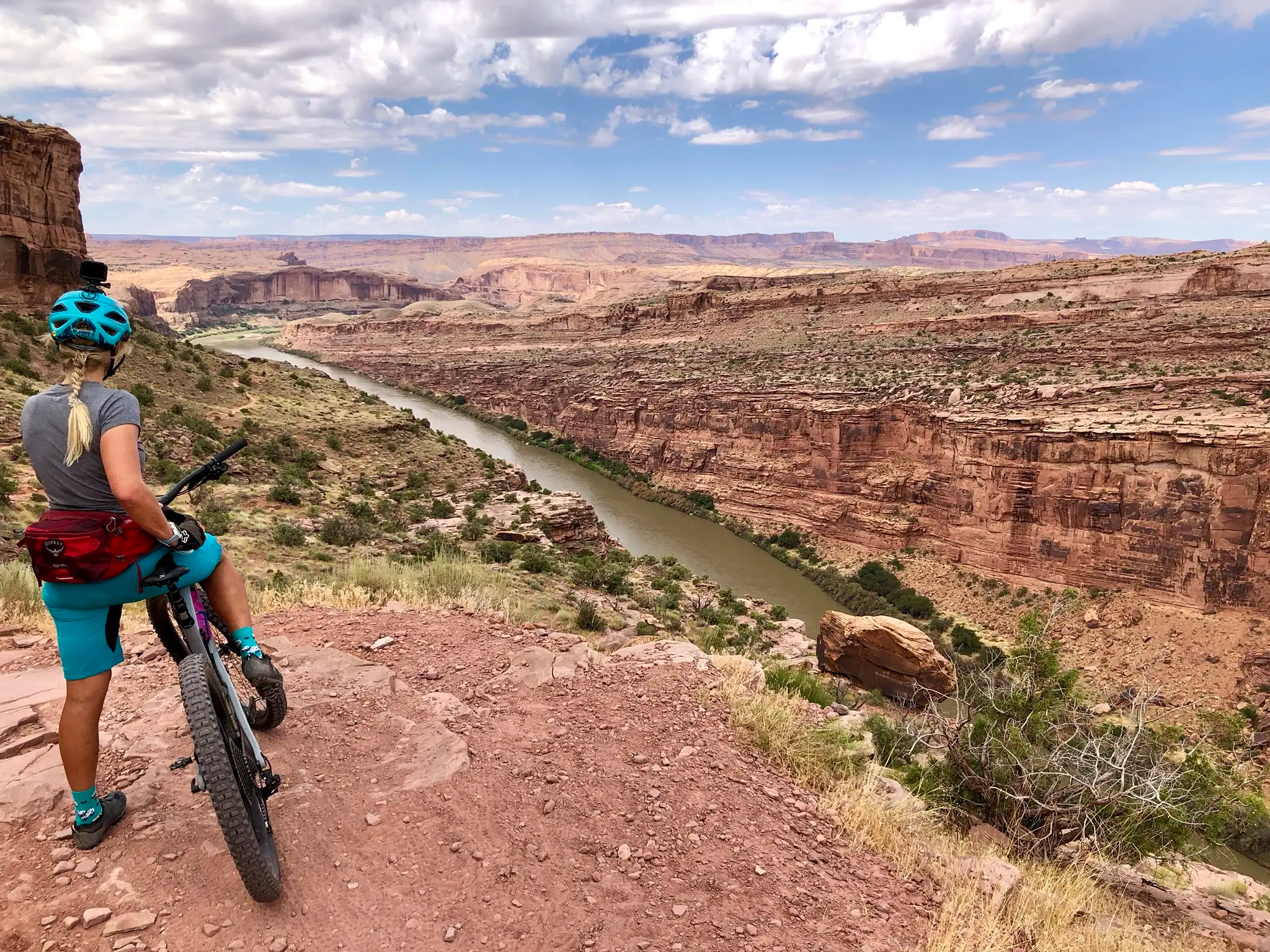
Kokopelli's Trail — Biking a legend’s trail across the desert
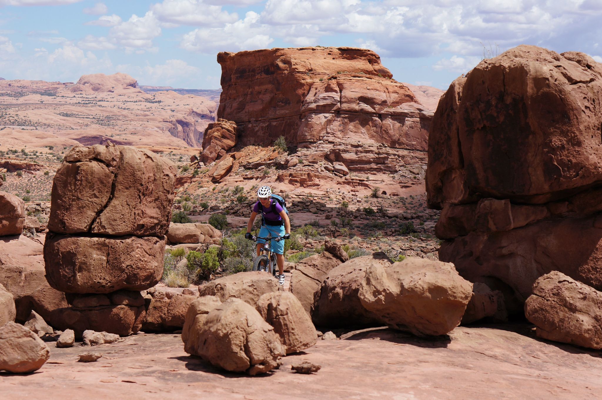
MTB Trip to Moab – a mountain bike Mecca in Utah
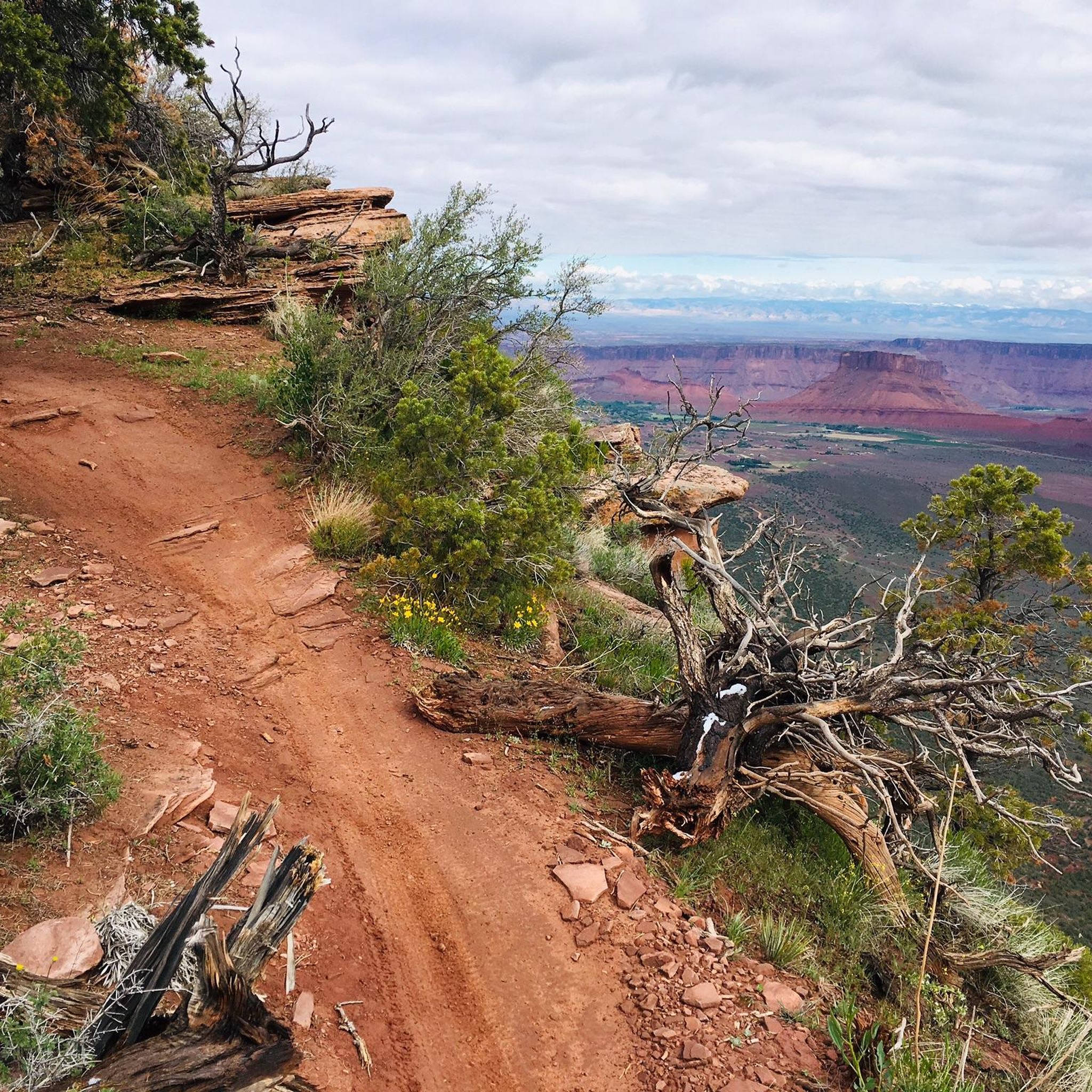
Running Trails in the La Sal Mountains
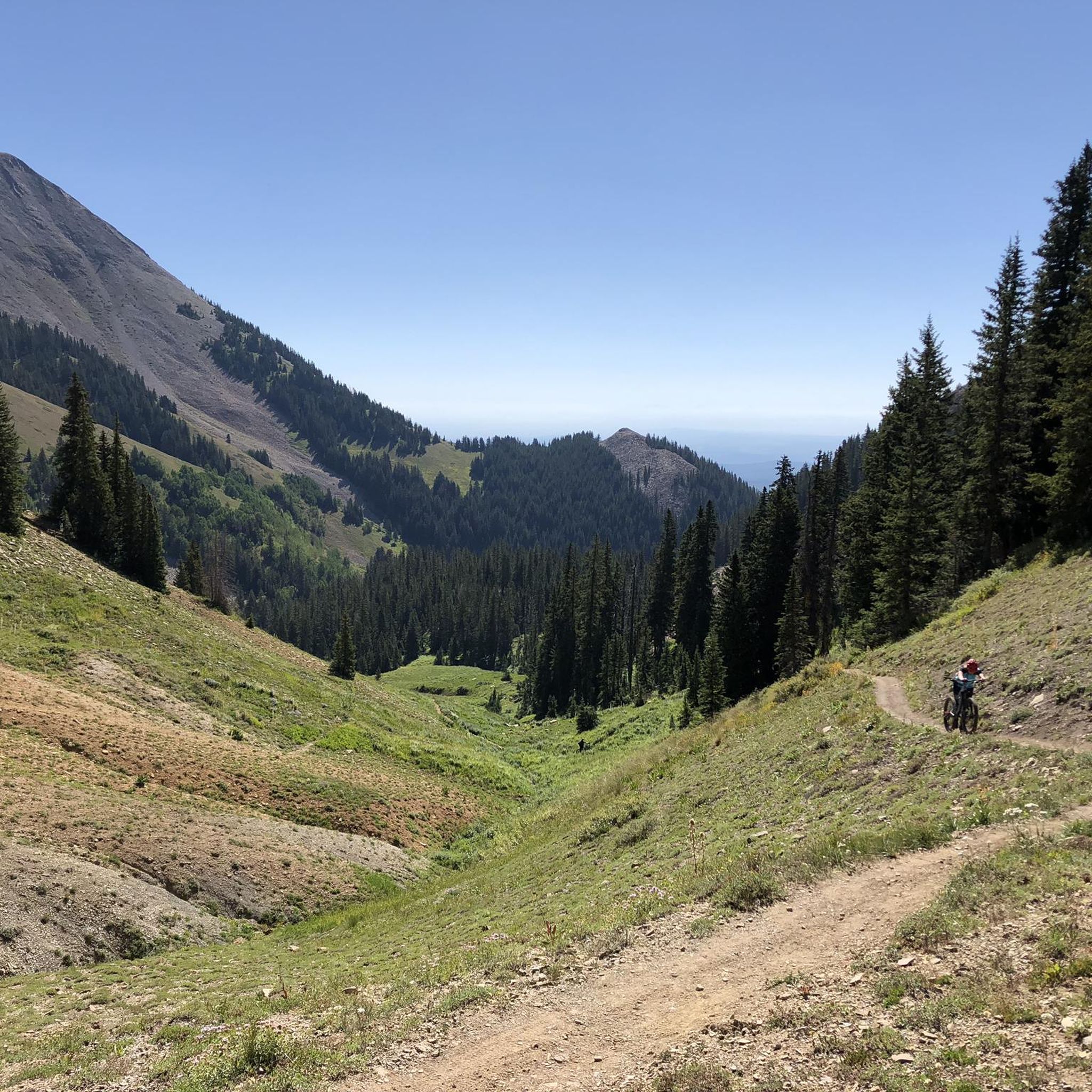
MTB Trails in the La Sal Mountains
Cycling in the La Sal Mountains
Road Cycling Routes in the La Sal Mountains

Gravel biking in the La Sal Mountains
Other adventures in the La Sal Mountains


Tips from the Community

The Top Of The World Trail is an old jeep road that has become popular for hikers and bikers, mainly for the spectacular view at the end of the trail. This is an out-and-back trail, which means it's a tough, rocky, four-mile climb out to the viewpoint and then a steep, technical descent. It continues to draw visitors because the payoff at the viewpoint is absolutely worth the effort.
0
0
Stretching along the banks of the Colorado River and sitting under towering cliffs the Dewey Bridge Campground is a great place to spend a night or two. You can reserve one of the two group sites on reservation.gov though the individual sites are only available on a first-come-first-served basis. Bikepackers on Kokopelli's Trail can cache water here as there is no running water at the campground.
0
0

This little tour is highly recommended. Great views in every direction.
0
0

View through Turret Arch to the South and North Window Arch beautiful view
3
0
I can highly recommend this beautiful hike, we were very impressed
3
0
beautiful hike, great paths, lots to discover, simply wonderful
3
0
beautiful hike, we were very very excited
1
0
beautiful hike with fabulous views of several rock gates and the Rockys
2
0
Frequently Asked Questions
What kind of hiking trails can I find in the La Sal Mountains?
The La Sal Mountains offer a diverse range of hiking trails, from easy forest strolls to challenging peak ascents. You'll find paths that transition from arid desert landscapes to lush alpine environments, featuring aspen groves, pine forests, and serene lakes. There are over 35 routes available, with 21 easy, 12 moderate, and 2 difficult options.
What are some notable natural features or landmarks to see while hiking in the La Sal Mountains?
The La Sal Mountains are rich in dramatic natural features. You can explore unique geological formations like the Morning Glory Natural Bridge, one of the longest natural rock spans in the US, or the otherworldly sculpted red sandstone formations of the Fisher Towers. Higher up, you'll find beautiful alpine lakes such as Warner Lake and Oowah Lake, and panoramic views of the surrounding red rock country from peaks like Mount Peale.
Are there any family-friendly hiking options in the La Sal Mountains?
Yes, the La Sal Mountains offer several family-friendly trails. An easy option is the Grandstaff Canyon to Morning Glory Natural Bridge route, which is 4.4 miles long and leads through a canyon to an impressive natural rock span. Another easy choice is the Fisher Towers Trail, offering an easy-grade adventure through unique rock formations.
What is the best time of year to go hiking in the La Sal Mountains?
The best time to hike in the La Sal Mountains is typically from late spring through early fall. The higher elevation provides a welcome escape from the desert heat, with temperatures often 10-20 degrees cooler than Moab. Fall is particularly stunning when the aspen groves turn vibrant shades of yellow and orange. Some trails may be inaccessible due to snow in winter and early spring.
Are there any circular hiking routes in the La Sal Mountains?
Yes, there are circular routes available. A popular option is the Boren Mesa Trail to Lake Oowah and Clarke Lake Loop, a moderate 6.4-mile trail that takes you through alpine forests and past serene lakes. This loop offers a great way to experience the diverse scenery of the mountains.
What do other hikers say about the trails in the La Sal Mountains?
The trails in the La Sal Mountains are highly rated by the komoot community, with an average score of 4.8 stars from over 290 reviews. Hikers often praise the dramatic desert-to-alpine transitions, the refreshing cooler temperatures compared to lower elevations, and the panoramic views of the red rock landscape.
Are there any challenging hikes for experienced trekkers?
Yes, for experienced hikers looking for a challenge, climbing Mount Peale, the highest peak in the range at 12,721 feet, is a popular and rewarding endeavor. Another challenging route is the Burlfriends to Mt. Tukuhnikivatz Trail, which covers nearly 10 km with significant elevation gain.
Can I bring my dog on the hiking trails in the La Sal Mountains?
The La Sal Mountains are part of the Manti-La Sal National Forest, which generally allows dogs on trails, often requiring them to be on a leash. However, specific regulations can vary by trail or area, especially near developed recreation sites or wilderness areas. It's always best to check local signage or the Manti-La Sal National Forest website for the most current rules regarding pets on trails.
Are there any trails that feature waterfalls?
While the La Sal Mountains are known for alpine lakes and streams, prominent waterfalls are less common. However, the Mary Jane Canyon to Slytherin Falls route offers a moderate 7.6-mile hike that leads to a seasonal waterfall, providing a unique experience, especially after rainfall or during spring snowmelt.
What kind of wildlife might I encounter while hiking?
The diverse ecosystems of the La Sal Mountains support a variety of wildlife. As you ascend from desert to alpine environments, you might spot deer, elk, and various bird species. The serene forests and lakes also provide habitat for smaller mammals and aquatic life. Keep an eye out for raptors soaring overhead and listen for the sounds of forest creatures.
Is there public transport access to the La Sal Mountains trailheads?
Public transportation directly to the trailheads in the La Sal Mountains is generally limited. Most visitors access the area by private vehicle, often driving the scenic La Sal Mountain Loop Road. This allows for flexibility in reaching various trailheads and viewpoints. Consider carpooling or arranging private transport if you don't have your own vehicle.
Are there specific parking areas for hikers?
Yes, many popular trailheads in the La Sal Mountains, such as those near Warner Lake and Oowah Lake, have designated parking areas. As the area is part of the Manti-La Sal National Forest, some parking areas may require a day-use fee or a recreation pass. It's advisable to arrive early during peak season to secure a spot, especially for popular routes.
Most popular routes in the La Sal Mountains
Most popular attractions in the La Sal Mountains

Get inspired with the komoot mobile app


Explore more
Browse the best Hikes in other regions.
