The best traffic-free bike rides in the La Sal Mountains
4.9
(17)
2,147
riders
7
rides
No traffic touring cycling routes in the La Sal Mountains traverse a landscape characterized by a dramatic transition from arid red rock deserts to lush alpine forests. The region features high elevations, offering panoramic views of surrounding valleys and distant landmarks. Portions of the area fall within the Manti-La Sal National Forest, providing diverse terrain with snow-capped peaks, pristine lakes, and varied vegetation. This unique environment offers touring cyclists a range of experiences, from desert paths to mountain ascents.
Best…
Last updated: July 12, 2026
5.60km
00:32
80m
80m
Easy bike ride. Great for any fitness level. Mostly paved surfaces. Suitable for all skill levels.
4.54km
00:19
60m
60m
Easy bike ride. Great for any fitness level. Mostly paved surfaces. Suitable for all skill levels.

Sign up for free
74
riders
12.9km
00:53
190m
200m
Moderate bike ride. Good fitness required. Mostly paved surfaces. Suitable for all skill levels.
11
riders
20.5km
01:22
180m
180m
Moderate bike ride. Good fitness required. Mostly paved surfaces. Suitable for all skill levels.
3
riders
17.0km
01:20
260m
260m
Moderate bike ride. Good fitness required. Mostly paved surfaces. Suitable for all skill levels.
Get access to more routes and recommendations from other explorers.
Sign up for free
Already have an account?
Our route recommendations are based on thousands of hikes, rides, and runs completed by other people on komoot.
Start today with a free account
Your next adventure awaits.
Login or Signup


Other adventures in the La Sal Mountains


Tips from the Community

A dirt road that leads from the Kane Creek Parking Lot to the start of HyMasa.
0
0

Beautiful mural that fits the area.
1
0

The Slickrock Trail is a popular trail for mountain bikers. While not suitable for road bikes, the trailhead has parking, picnic tables, and restrooms, so it is a good place to start a ride or for a mid-ride bathroom break.
0
0
Trailhead for the Devils Garden Trail and the end of the Arches Main Road. There is parking and restrooms at the trailhead.
0
0

Mural "The Delicate Arch" by Jeffrey M. Nelson, located at S. Main Street and 100S.
5
0

A must do when in Moab and for sure the best trail if you want to convince somebody to buy an ebike. Very physical. I have the feeling the altitude is counting twice in Moab.
0
0
Frequently Asked Questions
How many no traffic touring cycling routes are available in the La Sal Mountains?
There are 6 dedicated no traffic touring cycling routes in the La Sal Mountains featured in this guide. These routes offer a range of experiences, from easy rides to more challenging ascents.
What is the best time of year to go touring cycling in the La Sal Mountains?
The La Sal Mountains offer a unique climate transition. While the surrounding Moab desert can be very hot in summer, the higher elevations of the La Sals provide cooler temperatures, making late spring through early fall (May to October) ideal. Cyclists can experience lush alpine forests and even snow-capped peaks during these months, a stark contrast to the red rock desert below.
What kind of terrain can I expect on these no traffic routes?
You can expect a dramatic shift in scenery. Routes often begin in the iconic red rock desert and gradually ascend into dense forests of juniper, oak, and aspen, reaching alpine environments. This geological diversity means you'll encounter everything from paved roads with significant climbs to gravel sections, offering panoramic views of the surrounding valleys and distant landmarks.
Are there routes suitable for beginners or families?
Yes, there are routes suitable for beginners. For example, the Runway Trail and the Nucla loop are both rated as easy, offering shorter distances and minimal elevation gain, perfect for a relaxed ride.
Are there any challenging routes for experienced touring cyclists?
Absolutely. For those seeking a challenge, the Slickrock Trailhead – Sand Flats gravel road loop from Moab is rated as difficult. This route covers over 36 km and includes significant elevation changes, rewarding experienced riders with stunning views and a sense of accomplishment.
What natural attractions can I see along these routes?
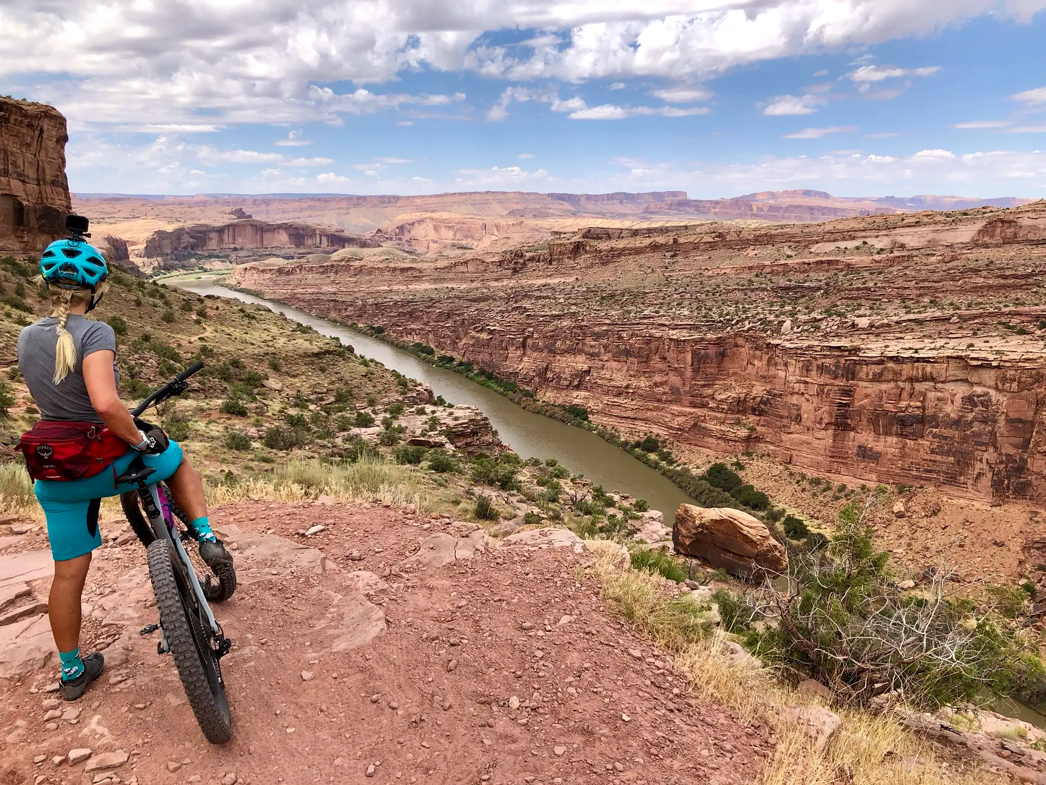
The La Sal Mountains are rich in natural beauty. While cycling, you might encounter views of iconic red rock formations, pristine alpine lakes like Oowah Lake and Warner Lake, and sections along the scenic Colorado River. Nearby attractions include impressive geological features such as North Window Arch, Turret Arch, and Double Arch, which are part of the broader Moab area's natural wonders.
What do other touring cyclists enjoy the most about touring cycling in the La Sal Mountains?
The area is highly rated by the komoot community, with an average score of 4.9 stars. Reviewers often praise the dramatic scenery, the transition from desert to alpine environments, and the challenging yet rewarding climbs that offer unparalleled panoramic views of the surrounding red rock valleys.
Are there any loop routes available for touring cyclists?
Yes, several routes are designed as loops, allowing you to start and end at the same point. Examples include the Nucla loop, the Devils Garden Trailhead loop from Arches National Park, and the Slickrock Trailhead – Sand Flats gravel road loop from Moab. These loops provide diverse experiences and scenic returns.
Are there specific parking areas for accessing these routes?
Many routes in the La Sal Mountains and surrounding areas, such as those near Arches National Park or Moab, have designated parking areas at trailheads or visitor centers. For instance, the Kane Creek Recreation Parking – Kane Springs Road loop from Moab starts from a specific parking area, making access convenient for cyclists.
What are the typical distances and elevation gains for these no traffic routes?
The routes vary significantly. Distances range from shorter rides like the Runway Trail at approximately 5.6 km with about 82 meters of elevation gain, to longer, more challenging options such as the Slickrock Trailhead – Sand Flats gravel road loop from Moab, which covers over 36 km with around 676 meters of climbing.
Can I find cafes or places to resupply along the routes?
While the higher, more remote sections of the La Sal Mountains within the Manti-La Sal National Forest may have limited services, routes that pass through or near Moab or follow major roads like the Colorado River corridor (e.g., sections of the La Sal Mountain Loop Road) will offer more opportunities for cafes, resorts, and resupply points. It's always advisable to carry sufficient water and snacks, especially on longer or more remote rides.
Most popular routes in the La Sal Mountains
Most popular attractions in the La Sal Mountains

Get inspired with the komoot mobile app


