The best waterfall hikes and walks in the La Sal Mountains
4.8
(753)
12,349
hikers
7
hikes
Waterfall hiking trails in the La Sal Mountains offer a distinct contrast to the arid red rock landscapes of nearby Moab, Utah. This alpine range features a dramatic desert-to-alpine transition, with elevations rising to over 12,000 feet. The terrain includes dense forests of ponderosa pine and aspen, picturesque alpine lakes, and meadows that burst with wildflowers in summer. The mountains are laccoliths, a unique geological formation that contributes to their distinctive appearance and elevation.
Best waterfall hiking trails in the La Sal Mountains
- The most popular waterfall hiking route is Ken's Lake and Faux Falls Trail, a 7.4 miles (11.9 km) trail that takes 3 hours 15 minutes to complete. This moderate route leads to a scenic artificial waterfall and offers views of Ken's Lake.
- Another top favourite among local hikers is Mill Creek Trail, an easy 1.6 miles (2.5 km) path. This shorter trail follows Mill Creek, providing access to small waterfalls and swimming holes.
- Local hikers also love the Professor Creek and Mary Jane Canyon Trail, a 7.6 miles (12.2 km) trail leading through a narrow canyon with creek crossings, often completed in about 3 hours 18 minutes.
- Hiking in the La Sal Mountains is defined by dramatic desert-to-alpine transitions, lush alpine forests, and serene lakes. The network offers options for different ability levels, from easy creek-side strolls to moderate canyon explorations.
- The routes in La Sal Mountains are highly rated by the komoot community with an average score of 4.8 stars from nearly 300 reviews. More than 4000 hikers have used komoot to explore La Sal Mountains's varied terrain.
Last updated: June 25, 2026
11.9km
03:15
200m
130m
Moderate hike. Good fitness required. Easily-accessible paths. Suitable for all skill levels.
4.3
(3)
119
hikers
2.51km
00:43
50m
50m
Easy hike. Great for any fitness level. Easily-accessible paths. Suitable for all skill levels.

Sign up for free
5.0
(2)
67
hikers
12.2km
03:18
160m
160m
Moderate hike. Good fitness required. Easily-accessible paths. Suitable for all skill levels.
12.9km
03:42
300m
300m
Moderate hike. Good fitness required. Easily-accessible paths. Suitable for all skill levels.
5.0
(2)
21
hikers
9.73km
02:43
180m
180m
Moderate hike. Good fitness required. Easily-accessible paths. Suitable for all skill levels.
Get access to more routes and recommendations from other explorers.
Sign up for free
Already have an account?
Our route recommendations are based on thousands of hikes, rides, and runs completed by other people on komoot.
Start today with a free account
Your next adventure awaits.
Login or Signup

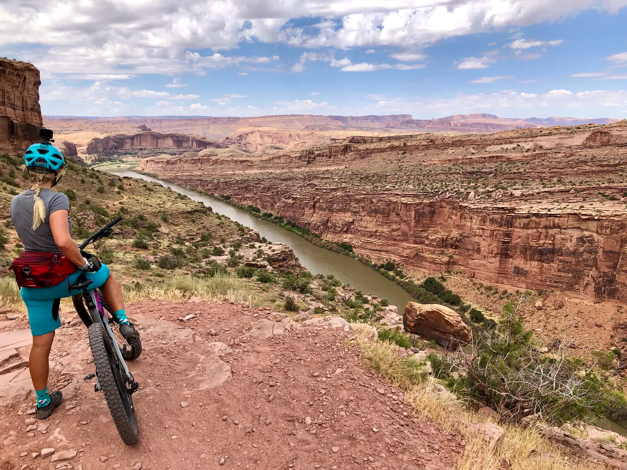
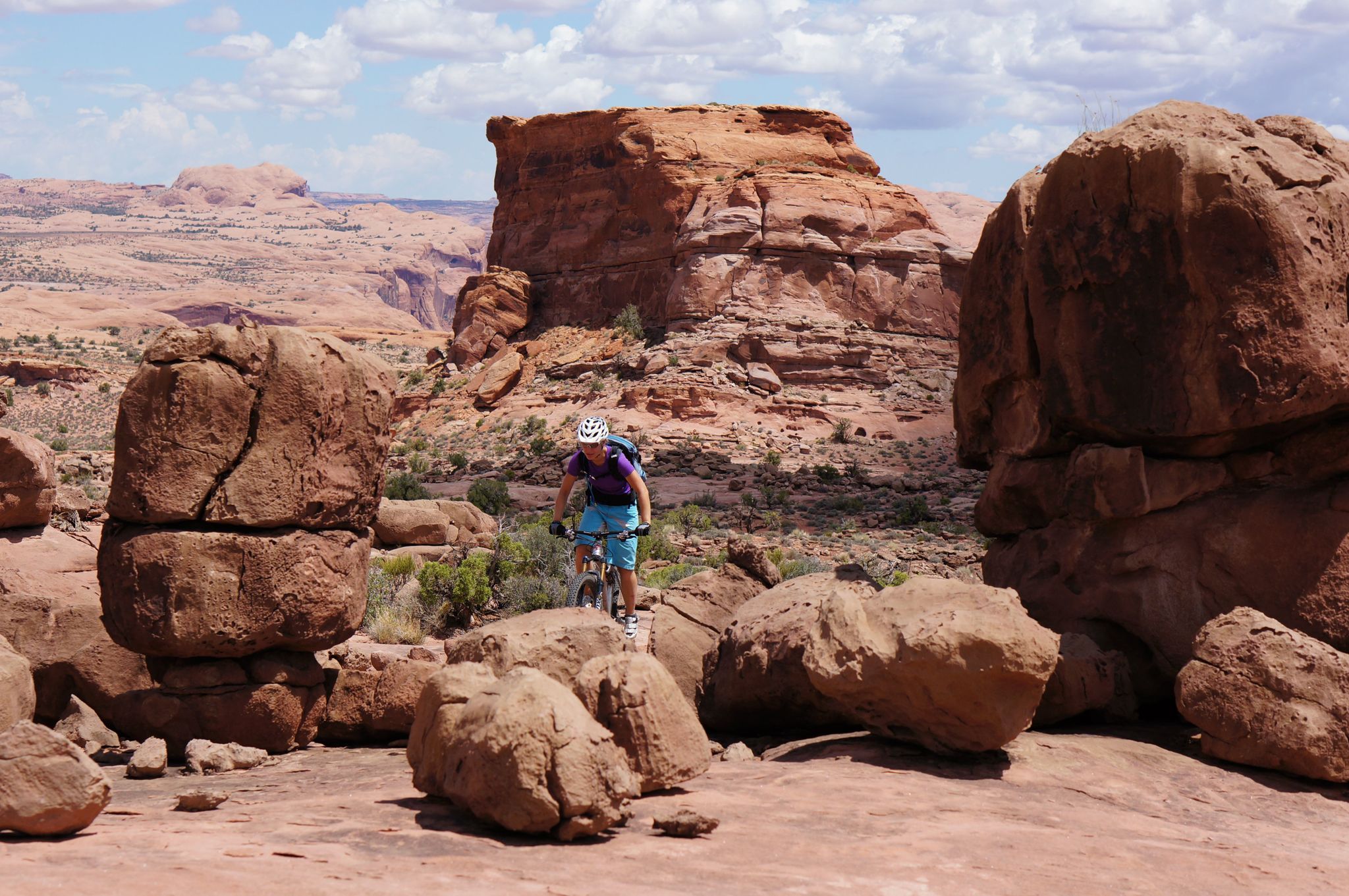
Other adventures in the La Sal Mountains


Tips from the Community

On a hot day, the Mill Creek Waterfall and pool is the place to be for locals and visitors alike. After following narrow trails through a small stand of trees you reach the lower pool where you can cool off and swim in the water. If you are comfortable with heights and a little scrambling, you can climb up to the top of falls to jump off by following the trail up a slick rock slab. This is a great place to go swimming, take some photos, and relax in this desert oasis either as the final destination for your run, or on the way back from exploring further up Mill Creek Canyon.
0
0
The Mill Creek Trailhead is located in the south end of Moab on the end of some residential roads (so please be respectful of locals by parking only in the designated public parking lot and being careful not to blocks roads and driveways). While there are multiple side trails off of the parking lot to various swimming holes along Mill Creek, the main trail takes you past an old power plant spillway and to a stream where you get to choose whether to wade in the water or traverse the slopping slickrock next to the water. This is a fun way to begin your run up Mill Creek Canyon!
0
0

A striking canyon mouth, Professor Creek exits Mary Jane Canyon in this area. As always when beginning a narrow canyon, be aware of surroundings and consider the risk of flash floods.
0
0

The Mill Creek Trailhead sits at the southern edge of Moab, accessible via residential roads. It's important to show consideration for local residents by parking exclusively in the designated public parking lot and avoiding blocking roads and driveways. From the parking lot, several side trails lead to different swimming spots along Mill Creek. The primary trail guides you past an abandoned power plant spillway to a stream, offering the choice between wading in the water or navigating the sloping slickrock beside it. Although you can't cycle up the creek, it would a great place to start / end the ride and head up the gorge on foot afterwards for a swim.
0
0
The Otho Natural Bridge is a remote, beautiful site in the upper North Fork of Mill Creek Canyon. Although it is called Otho Natural Bridge, it is not a true natural bridge because there is no water underneath it. You can approach it either by dropping down from Sand Flats Road and following social trails down to the bridge and Mill Creek Canyon, or you can travel all the way up the north fork of Mill Creek Canyon, passing the Mill Creek Waterfall, Cliffhandle Arch, and lots of ancient Native American rock art. Both routes are beautiful, but if you decide to travel up Mill Creek Canyon, be aware that high water levels might make this route impassible, depending on the season and recent rainfall. Always check local conditions and use good judgment when traveling in the desert!
0
0
Cliffhandle Arch is an impressive arch located in the main channel of North Fork of Mill Creek Canyon. Unlike in Arches National Park, this arch is relatively unknown and therefore much quieter. There is a solid chance you might be the only person at this arch, an increasingly rare experience in Moab! Keep an eye out for ancient petroglyphs and pictograms; there are many panels from thousands of years ago scattered across the canyon walls and boulders in the North Fork of Mill Creek Canyon. Like any archaeological site, please refrain from touching the rock art to help preserve it for generations to come.
0
0
The Mill Creek Trailhead is located in the south end of Moab on the end of some residential roads (so please be respectful of locals by parking only in the designated public parking lot and being careful not to blocks roads and driveways). While there are multiple side trails off of the parking lot to various swimming holes along Mill Creek, the main trail takes you past an old power plant spillway and to a stream where you get to choose whether to wade in the water or traverse the slopping slickrock next to the water. This is a fun way to begin your hike up Mill Creek Canyon!
0
0
On a hot day, the Mill Creek Waterfall and pool is the place to be for locals and visitors alike. After following narrow trails through a small stand of trees you reach the lower pool where you can cool off and swim in the water. If you are comfortable with heights and a little scrambling, you can climb up to the top of falls to jump off by following the trail up a slick rock slab. This is a great place to go swimming, take some photos, and relax in this desert oasis.
1
0
Frequently Asked Questions
How many waterfall hiking trails are available in the La Sal Mountains?
The La Sal Mountains offer a selection of 7 dedicated waterfall hiking trails. These routes provide a refreshing contrast to the surrounding arid landscapes, leading you through lush alpine environments to various water features.
What is the best time of year to experience the waterfalls in the La Sal Mountains?
The best time to visit for waterfall hikes is typically during late spring and early summer. This is when snowmelt from the higher elevations feeds the creeks and streams, making the waterfalls most impressive. The higher elevations also offer a welcome escape from the intense summer heat of nearby Moab, often being 10-20 degrees cooler.
Are there any family-friendly waterfall hikes in the La Sal Mountains?
Yes, there are options suitable for families. The Mill Creek Trail is an easy 1.6-mile path that follows Mill Creek, providing access to small waterfalls and swimming holes, perfect for a leisurely family outing. Remember to check current conditions before heading out.
Can I bring my dog on the waterfall trails in the La Sal Mountains?
Many trails in the La Sal Mountains, including some waterfall routes, are dog-friendly. However, regulations can vary, especially within specific canyons or protected areas. It's always best to check local signage or the specific trail's guidelines before bringing your furry friend. For example, the Mill Creek Trail is generally considered dog-friendly.
What kind of terrain can I expect on waterfall hikes in the La Sal Mountains?
You can expect a diverse range of terrain, reflecting the dramatic desert-to-alpine transition of the La Sal Mountains. Trails might start in pinyon and juniper, quickly ascending into dense forests of ponderosa pine, quaking aspen, spruce, and fir. Routes like the Professor Creek and Mary Jane Canyon Trail involve creek crossings and navigating through narrow canyons, while others like Ken's Lake and Faux Falls Trail offer more open paths with views of the lake.
Are there any circular waterfall routes in the La Sal Mountains?
Yes, there are circular options available. The Mill Creek Waterfall loop from Old City Park is a moderate 6-mile (9.7 km) trail that allows you to experience the beauty of the waterfalls and return to your starting point without retracing your steps.
What are some notable natural features or attractions near the waterfall trails?
Beyond the waterfalls, the La Sal Mountains offer stunning natural beauty. You'll find picturesque alpine lakes like Warner Lake and Oowah Lake, and meadows that burst with wildflowers in summer. The region is also close to iconic natural monuments such as North Window Arch, Turret Arch, and Double Arch, offering additional exploration opportunities.
Is parking available at the trailheads for waterfall hikes?
Parking is generally available at the trailheads for popular waterfall hikes in the La Sal Mountains. For routes like Ken's Lake and Faux Falls Trail and the various Mill Creek access points, you'll typically find designated parking areas. It's advisable to arrive early during peak seasons to secure a spot.
Do I need a permit to hike the waterfall trails in the La Sal Mountains?
Generally, permits are not required for day hiking on most waterfall trails in the La Sal Mountains. However, specific regulations can apply to certain areas, especially if they fall within designated wilderness or national park boundaries. Always check with the local Forest Service or park authorities for the most current information before your visit.
What do other hikers say about the waterfall trails in the La Sal Mountains?
The waterfall trails in the La Sal Mountains are highly regarded by the komoot community, boasting an average rating of 4.8 stars from nearly 300 reviews. Hikers frequently praise the refreshing escape from the desert heat, the lush alpine scenery, and the unique experience of creek-side strolls and canyon explorations leading to beautiful waterfalls.
Are there options for longer, more challenging waterfall hikes?
Yes, for those seeking a more extensive adventure, routes like the longer Mill Creek Trail (8 miles / 12.9 km) or the Professor Creek and Mary Jane Canyon Trail (7.6 miles / 12.2 km) offer moderate challenges. These trails feature greater distances, elevation changes, and often involve creek crossings, providing a more immersive experience in the La Sal Mountains' diverse terrain.
Where can I find amenities like cafes or accommodation after a hike?
The nearby town of Moab, Utah, serves as the primary hub for amenities when visiting the La Sal Mountains. You'll find a wide range of cafes, restaurants, pubs, and accommodation options in Moab, catering to hikers and outdoor enthusiasts. It's a convenient base for exploring the region's trails and attractions.
Most popular routes in the La Sal Mountains
Most popular attractions in the La Sal Mountains

Get inspired with the komoot mobile app


