The best mountain hikes around Mikuni-sammyaku
4.0
(2)
245
hikers
17
hikes
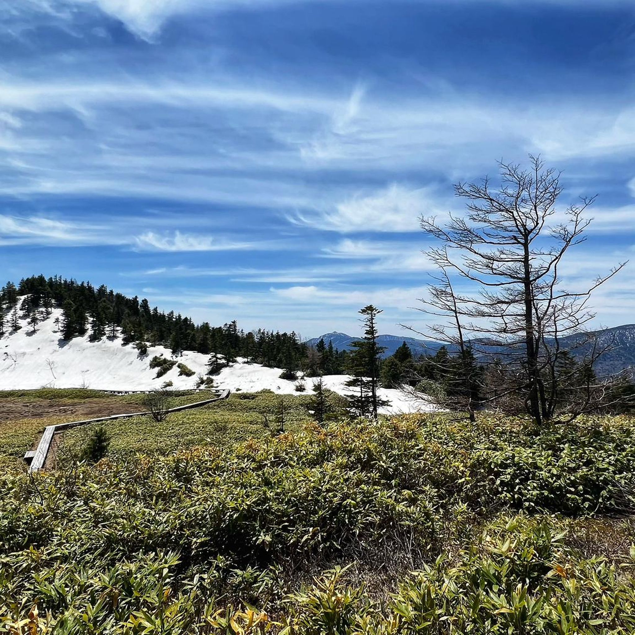
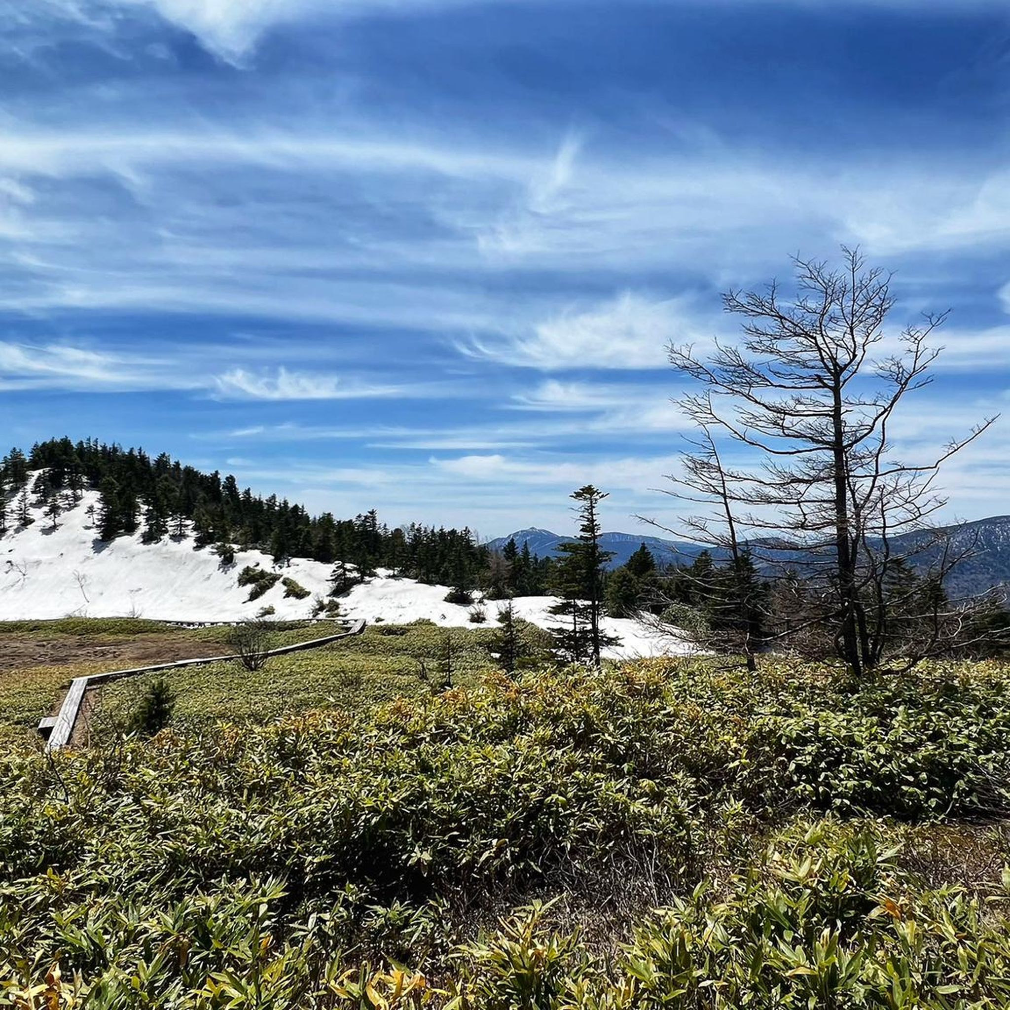
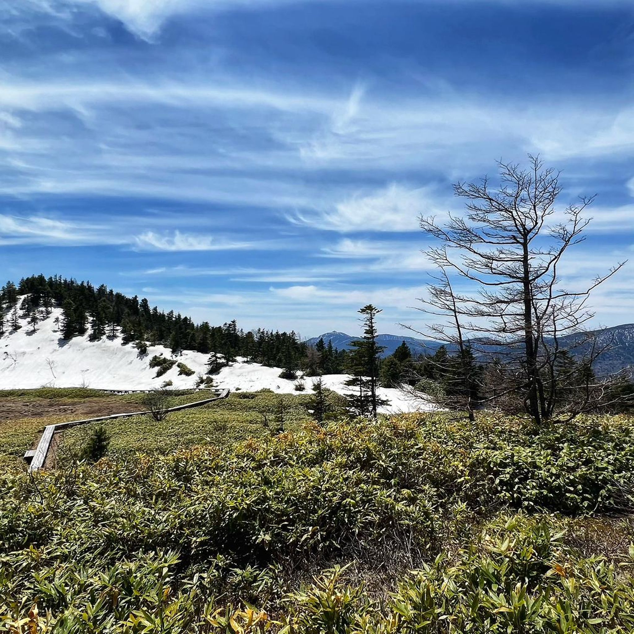
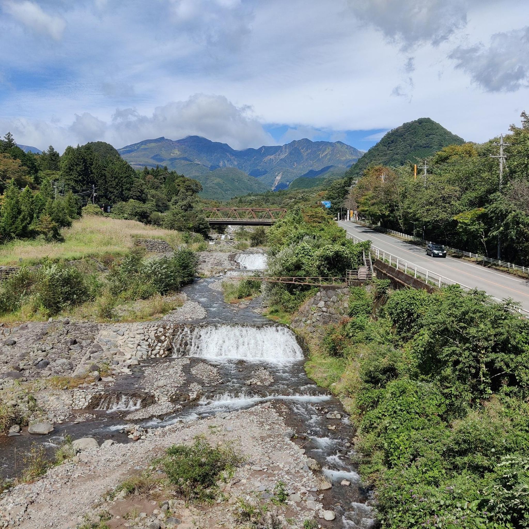
Mountaineering routes around Mikuni-sammyaku traverse a mountain range in central Honshu, Japan, straddling the border of Gunma and Niigata prefectures. The region features diverse terrain, including prominent peaks, marshlands, deep valleys, and steep slopes. Virgin forests, such as beech forests, are common along the trails, contributing to the natural environment. Volcanic landscapes are also present, adding to the varied topography suitable for mountaineering.
Best mountaineering routes around Mikuni-sammyaku
- The most popular mountaineering route is 黒檜山 – 駒ヶ岳 loop from Mt.…
Last updated: May 15, 2026
4.0
(2)
36
hikers
4.96km
02:45
480m
480m
Moderate mountaineering route. Good fitness required. Mostly accessible paths. Sure-footedness required.
37
hikers
6.58km
03:01
640m
640m
Moderate mountaineering route. Good fitness required. Easily-accessible paths. Suitable for all skill levels.

Sign up for free
24
hikers
9.68km
06:04
1,180m
1,180m
Hard mountaineering route. Very good fitness required. Mostly accessible paths. Sure-footedness required.
22
hikers
9.93km
04:16
860m
870m
Moderate mountaineering route. Good fitness required. Easily-accessible paths. Suitable for all skill levels.
21
hikers
13.2km
04:50
820m
820m
Moderate mountaineering route. Good fitness required. Easily-accessible paths. Suitable for all skill levels.
16
hikers
11.1km
04:19
790m
790m
Moderate mountaineering route. Good fitness required. Easily-accessible paths. Suitable for all skill levels.
16
hikers
12.6km
05:54
1,270m
1,270m
Hard mountaineering route. Very good fitness required. Easily-accessible paths. Suitable for all skill levels.
10
hikers
14.5km
05:55
1,100m
1,100m
Hard mountaineering route. Very good fitness required. Easily-accessible paths. Suitable for all skill levels.
8
hikers
10.2km
03:54
680m
680m
Moderate mountaineering route. Good fitness required. Mostly accessible paths. Sure-footedness required.
7
hikers
5.20km
02:08
420m
420m
Moderate mountaineering route. Good fitness required. Easily-accessible paths. Suitable for all skill levels.
Get access to more routes and recommendations from other explorers.
Sign up for free
Already have an account?
Our route recommendations are based on thousands of hikes, rides, and runs completed by other people on komoot.
Start today with a free account
Your next adventure awaits.
Login or Signup
Frequently Asked Questions
How many mountaineering routes are available in Mikuni-sammyaku?
There are 17 mountaineering routes in the Mikuni-sammyaku region documented on komoot, offering a range of experiences for different skill levels.
What kind of terrain can I expect on mountaineering routes in Mikuni-sammyaku?
The Mikuni-sammyaku region features diverse terrain, from prominent peaks and deep valleys to marshlands and steep slopes. You'll often traverse virgin forests, including beautiful beech forests, and encounter unique volcanic landscapes.
Are there any challenging mountaineering routes for experienced climbers?
Yes, for those seeking a challenge, there are 4 difficult mountaineering routes in Mikuni-sammyaku. One such route is the 男体山 loop from Hoshino Resorts Hotel, which covers 9.7 km and involves significant elevation gain. Another demanding option is the 巻機山 – 牛ヶ岳 loop from 巻機山麓キャンプ場, a 12.6 km route with over 1200 meters of ascent.
Are there any circular mountaineering routes in Mikuni-sammyaku?
Yes, many routes in Mikuni-sammyaku are circular, allowing you to start and end at the same point. Examples include the 黒檜山 – 駒ヶ岳 loop from Mt. Akagi, a moderate 5.0 km route, and the more challenging 谷川岳 トマノ耳 – 谷川岳 オキノ耳 loop from Doai, which is 6.6 km long.
What is the best time of year for mountaineering in Mikuni-sammyaku?
The Mikuni Mountains are beautiful from spring to autumn. Spring offers fresh greenery and blooming flowers, while autumn is renowned for its vibrant foliage. The area experiences heavy snowfall in winter, making it suitable for winter sports like skiing and snowshoeing, but requiring specific gear and experience for mountaineering during this season.
What are some notable natural features or landmarks I can see along the routes?
The region is rich in natural beauty. You might encounter picturesque marshlands, deep valleys, and virgin forests. Specific highlights include the Senjogahara Marshland and the stunning Kegon Falls. The Mikuni Pass itself offers breathtaking panoramic views, including distant glimpses of Mount Fuji on clear days.
Are there any family-friendly mountaineering options in Mikuni-sammyaku?
While many routes are moderate to difficult, some paths through Japanese pampas grass fields and virgin forests are more accessible. For specific family-friendly options, it's best to look for shorter routes with minimal elevation gain, though komoot currently lists no 'easy' mountaineering routes in this guide. Always check the route details for suitability for children.
What do other mountaineers enjoy most about Mikuni-sammyaku?
The Mikuni-sammyaku region is highly rated by the komoot community, with an average score of 5.0 stars. Reviewers often praise the diverse terrain, the striking natural beauty of the virgin forests and marshlands, and the rewarding views from prominent peaks.
Are there any routes that offer views of lakes or dams?
While not directly on every mountaineering route, the broader Mikuni-sammyaku area features several beautiful lakes and dams. You can find highlights like Lake Haruna, Fujiwara Dam, and the Kusaki Dam Observation Deck in the vicinity, which can be explored separately or as part of a longer trip.
Are there any less crowded mountaineering routes in Mikuni-sammyaku?
For a potentially quieter experience, consider routes that are not among the most popular. The 根子岳 – 四阿山 loop from まきば屋, a moderate 9.9 km route, offers beautiful mountain landscapes and might be less frequented than the main tourist trails. Another option is the 小至仏山 – 至仏山 loop from Hatomachi Pass, a 11.1 km moderate route.
Are dogs allowed on the mountaineering trails in Mikuni-sammyaku?
Regulations regarding dogs on trails can vary, especially within national parks like Jōshin'etsu-kōgen National Park, which encompasses parts of Mikuni-sammyaku. It's advisable to check specific park rules or local signage for each trail before bringing your dog, as some areas may have restrictions to protect wildlife or sensitive ecosystems.
What kind of wildlife might I spot while mountaineering in Mikuni-sammyaku?
The virgin forests and diverse landscapes of Mikuni-sammyaku are home to various bird species, and you can enjoy their sounds throughout your hike. While specific sightings are never guaranteed, the region's rich natural environment supports a range of local wildlife. For a unique experience with wildlife, the Jigokudani Monkey Park is a notable attraction in the broader area.
Most popular routes around Mikuni-sammyaku
Most popular attractions around Mikuni-sammyaku

Get inspired with the komoot mobile app


Explore more
Browse the best Mountain Hikes & Routes in other regions.
