The best cycling routes around Mikuni-sammyaku
3.6
(12)
435
riders
22
rides
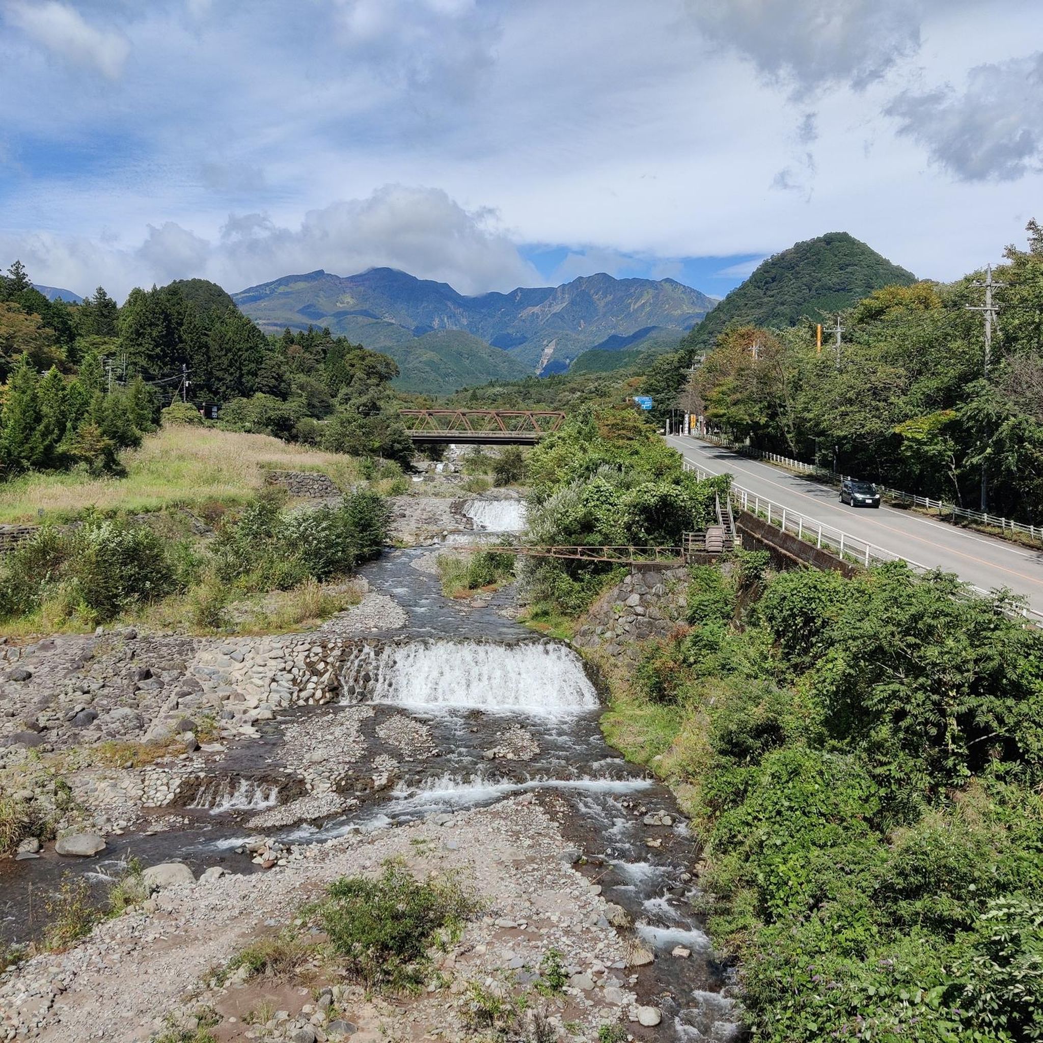
Touring cycling routes around Mikuni-sammyaku traverse a mountain range characterized by numerous passes and diverse terrain. The region features volcanic landscapes, particularly in the Shiga Kogen area, alongside lush forests and valleys. Cyclists encounter wild streams and panoramic views of the surrounding mountains, with routes often following well-maintained roads.
Best touring cycling routes around Mikuni-sammyaku
- The most popular touring cycling route is 天神峠 loop from 群馬県立 榛名高等学校, a 18.1 miles (29.2 km) trail that takes 2 hours 21 minutes…
Last updated: August 20, 2026
53
riders
29.2km
02:21
890m
890m
Hard bike ride. Very good fitness required. Mostly paved surfaces. Suitable for all skill levels.
35
riders
37.2km
03:00
1,140m
1,140m
Hard bike ride. Very good fitness required. Mostly paved surfaces. Suitable for all skill levels.

Sign up for free
31
riders
66.0km
05:16
1,910m
1,910m
Hard bike ride. Very good fitness required. Mostly paved surfaces. Suitable for all skill levels.
22
riders
54.9km
04:06
1,110m
1,110m
Hard bike ride. Very good fitness required. Mostly paved surfaces. Suitable for all skill levels.
5.0
(1)
21
riders
67.9km
05:01
1,320m
1,320m
Hard bike ride. Very good fitness required. You may need to push your bike for some segments of this route.
1.0
(1)
18
riders
55.5km
03:26
430m
440m
Moderate bike ride. Good fitness required. Mostly paved surfaces. Suitable for all skill levels.
5.0
(2)
12
riders
99.8km
08:06
2,680m
2,680m
Hard bike ride. Very good fitness required. You may need to push your bike for some segments of this route.
17
riders
98.8km
07:21
2,240m
2,240m
Hard bike ride. Very good fitness required. Mostly paved surfaces. Suitable for all skill levels.
15
riders
44.9km
03:50
1,520m
1,520m
Hard bike ride. Very good fitness required. Mostly paved surfaces. Suitable for all skill levels.
14
riders
10.0km
00:42
190m
190m
Moderate bike ride. Good fitness required. Mostly paved surfaces. Suitable for all skill levels.
Get access to more routes and recommendations from other explorers.
Sign up for free
Already have an account?
Our route recommendations are based on thousands of hikes, rides, and runs completed by other people on komoot.
Start today with a free account
Your next adventure awaits.
Login or Signup

Tips from the Community

A large park with toilets, drinking water, and seating. You can also play golf here.
0
0
A nature park. There is an onsen nearby. There are beautiful hiking trails.
0
0

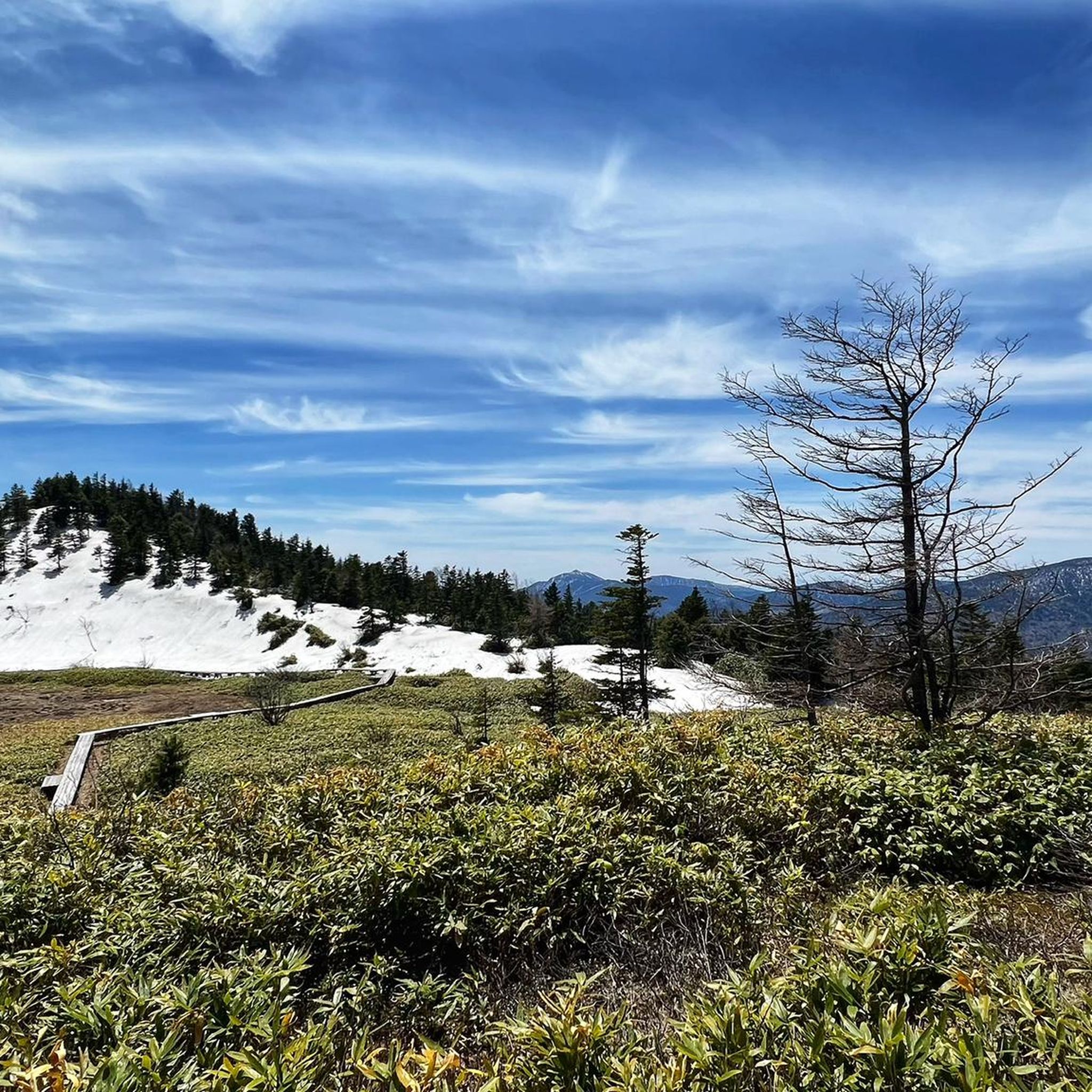
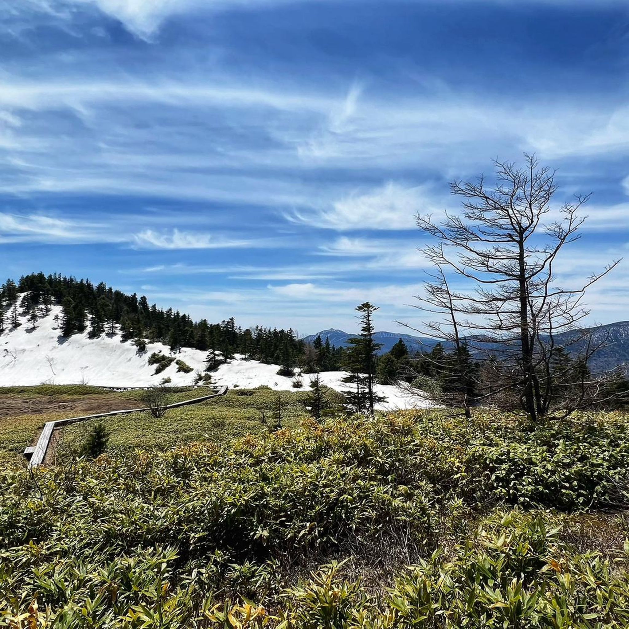
Amazing snow walls can be seen in the end of April and the beginning of May. One of the best hill climb routes in Nagano.
0
0

Shibu Pass is a well-known mountain pass in Japan, located at an elevation of 2,172 meters and representing the highest point of any national highway in Japan. National Highway 292, which runs through the Shiga Kogen region, offers cyclists a challenge and breathtaking views. The climb from Kusatsu to Shibu Pass is approximately 20 km long and offers an average gradient of 5-6%. The maximum gradient is 11%, making the ride even more challenging. The road is paved and provides a good surface for cycling. The gradients are challenging, but the views are breathtaking. The ride to Shibu Pass offers breathtaking mountain scenery and a variety of natural attractions. The Shiga Kogen region is known for its volcanic activity and offers a unique landscape. Shibu Pass is a highlight for cyclists and a must-see for anyone looking for a challenge. The views from Shibu Pass are breathtaking and offer views of the surrounding mountains and valleys.
1
0


The lake was formed 20,000 years ago when the Nantai volcano erupted and blocked the Daiyagawa River. The Yukawa River (with the Ryūzu Falls - also worth a visit) is the most important inflow. The outflow is via the Ōshiri River with the Kegon Falls (Japanese 華厳滝; Kegon-no-taki). The Kegon Falls have a drop of 97 m. Along with the Nachi Falls in Wakayama Prefecture and the Fukuroda Falls in Ibaraki Prefecture, it is considered one of the three most beautiful waterfalls in Japan. So don't miss it either ;-)
1
0
Frequently Asked Questions
What is the best time of year to go touring cycling in Mikuni-sammyaku?
The Mikuni-sammyaku region offers beautiful cycling experiences throughout the warmer months. You can enjoy deep green forests in summer and spectacular autumn leaves in the fall, particularly around areas like Mikuni Pass. The mountain passes are generally accessible during these seasons, providing stunning views and varied terrain.
What kind of terrain can I expect on touring cycling routes in Mikuni-sammyaku?
Mikuni-sammyaku is characterized by diverse terrain, including numerous mountain passes that offer both challenging climbs and breathtaking views. You'll encounter unique volcanic landscapes, especially in the Shiga Kogen region, alongside lush forests, valleys, and wild streams. Many routes feature well-maintained mountain and forest roads, some with significant elevation gains.
Are there any easy touring cycling routes for beginners in Mikuni-sammyaku?
While many routes in Mikuni-sammyaku are challenging, there are options suitable for beginners. For instance, guided tours like the Mikuni Pass Downhill Cycling in Kamishihoro Town offer a gentler experience, allowing you to enjoy the scenery with less strenuous effort. Overall, there is at least one easy touring cycling route available in the region.
What are some of the most challenging touring cycling routes in Mikuni-sammyaku?
Mikuni-sammyaku is known for its challenging mountain passes. Routes like the 山田峠 – 渋峠 loop from 長野原草津口, covering 66.0 km with over 1900 meters of elevation gain, are considered difficult. The ascent from Kusatsu to Shibu Pass, featuring gradients of 5-6% and a maximum of 11%, is another notable challenge for experienced riders.
What natural attractions can I see along the touring cycling routes?
The Mikuni-sammyaku area is rich in natural beauty. You can incorporate visits to stunning waterfalls like Kegon Falls, Yudaki Falls, and Ryuzu Falls into your cycling itineraries. The region also features beautiful lakes such as Lake Haruna and the unique Senjogahara Marshland.
Are there any unique landmarks or points of interest to explore while cycling?
Yes, cyclists might encounter several unique landmarks. The Highest Point of Japan National Road at Shibu Pass is a significant highlight. You could also visit the Jigokudani Monkey Park, known for its snow monkeys, or the Tateiwa Rock. The historical Taushubetsu Bridge, an old railway structure that periodically submerges in Lake Nukabira, is another interesting sight.
What do other touring cyclists enjoy most about Mikuni-sammyaku?
The area is highly rated by the komoot community, with an average score of 3.0 stars. Cyclists often praise the challenging mountain passes, the unique volcanic terrain of Shiga Kogen, and the deep green forests that provide a scenic backdrop for rides. The variety of routes, catering to different skill levels, is also a frequently appreciated aspect.
Are there any circular touring cycling routes in Mikuni-sammyaku?
Yes, many touring cycling routes in Mikuni-sammyaku are designed as loops, allowing you to start and end at the same point. Examples include the 天神峠 loop from 群馬県立 榛名高等学校 and the 山田峠 – 渋峠 loop from Kusatsu, which offer comprehensive tours of specific areas.
Can I find places to relax or recover after a long ride?
Absolutely. The presence of onsen (hot springs) in the region offers excellent opportunities for relaxation and recovery. For example, Jippuku no Yu near Shin Jizo Pass is a known spot where cyclists can unwind after a day of riding through the mountains.
What is the longest touring cycling route available in Mikuni-sammyaku?
One of the longer touring cycling routes in the region is the View of Mount Asama – Asama Volcano Observatory loop from 中軽井沢. This challenging route spans 98.1 km and involves over 2200 meters of elevation gain, typically taking around 7 hours and 18 minutes to complete.
Are there any touring cycling routes that pass by significant mountain passes?
Many routes in Mikuni-sammyaku feature significant mountain passes. The 山田峠 – 渋峠 loop from Kusatsu, for instance, takes you through Yamada Pass and Shibu Pass, which is the highest point of any national highway in Japan. These passes offer both challenging climbs and panoramic views.
Most popular routes around Mikuni-sammyaku
Most popular attractions around Mikuni-sammyaku

Get inspired with the komoot mobile app


Explore more
Browse the best Cycling routes in other regions.
