The best running trails around Mikuni-sammyaku
4.8
(6)
246
runners
31
runs
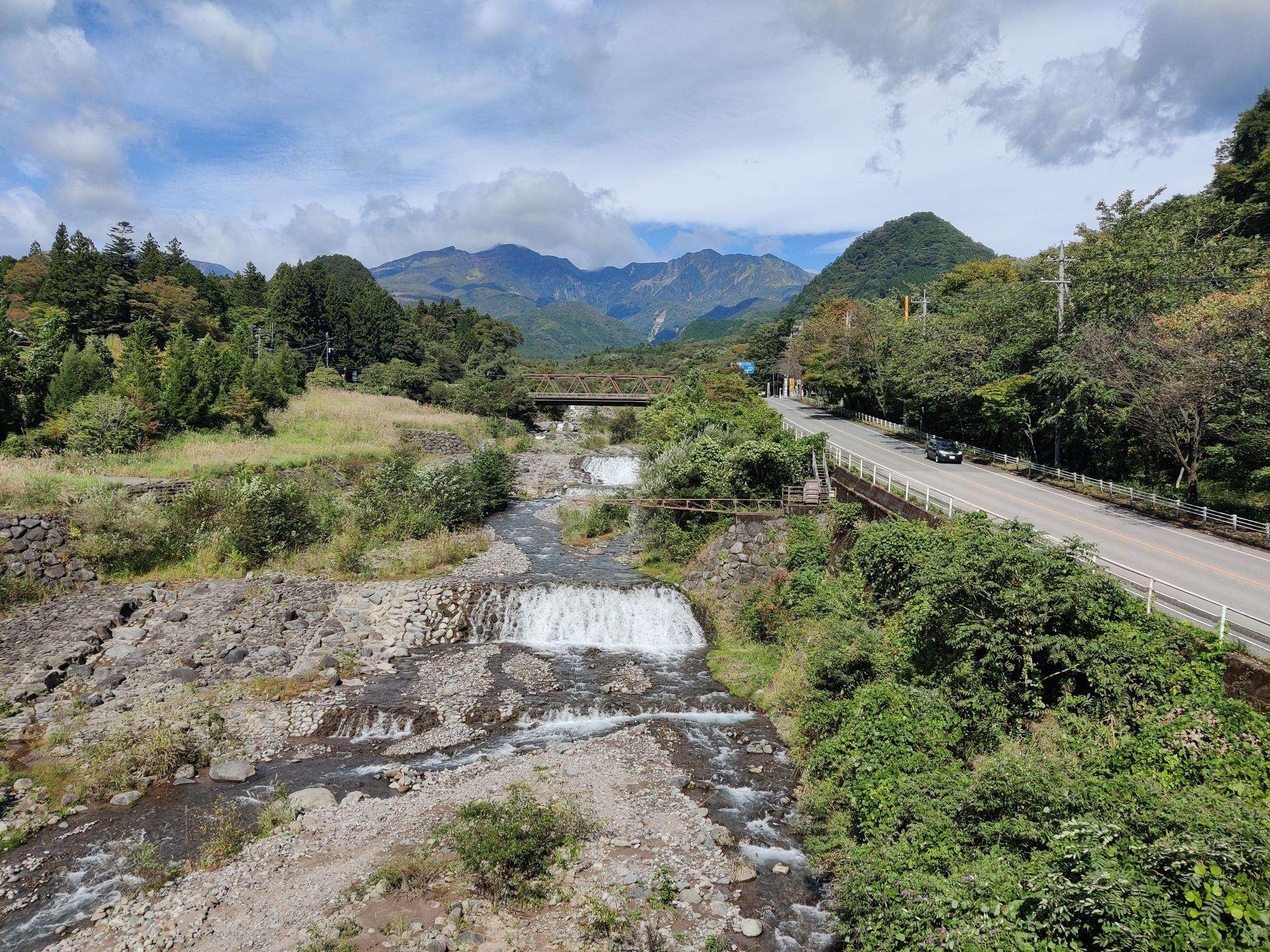
Jogging around Mikuni-sammyaku offers diverse landscapes, characterized by mountain scenery and varied terrain. The region features paths with minimal elevation gain alongside more demanding routes with significant changes in altitude. Volcanic landscapes, marshlands, and waterfalls contribute to the scenic beauty of the area. The network includes forest paths and sections of ancient highways, providing options for different ability levels.
Best jogging routes around Mikuni-sammyaku
- The most popular jogging route is 中禅寺湖 – 竜頭滝展望台 loop from Hoshino Resorts Hotel, a…
Last updated: August 20, 2026
19
runners
23.5km
02:46
370m
370m
Hard run. Very good fitness required. Mostly paved surfaces. Suitable for all skill levels.
5.0
(1)
20
runners
35.2km
04:28
1,330m
1,330m
Hard run. Very good fitness required. Mostly paved surfaces. Suitable for all skill levels.

Sign up for free
10
runners
10.1km
01:34
530m
530m
Hard run. Very good fitness required. Mostly paved surfaces. Suitable for all skill levels.
13
runners
5.32km
00:34
60m
60m
Moderate run. Good fitness required. Mostly paved surfaces. Suitable for all skill levels.
12
runners
15.6km
02:26
820m
820m
Hard run. Very good fitness required. Mostly paved surfaces. Suitable for all skill levels.
10
runners
6.67km
00:42
50m
50m
Moderate run. Good fitness required. Mostly paved surfaces. Suitable for all skill levels.
14
runners
5.58km
00:36
80m
80m
Moderate run. Good fitness required. Mostly paved surfaces. Suitable for all skill levels.
12
runners
25.1km
04:10
1,580m
1,580m
Hard run. Very good fitness required. Mostly paved surfaces. Suitable for all skill levels.
9
runners
20.6km
02:10
140m
140m
Hard run. Very good fitness required. Mostly paved surfaces. Suitable for all skill levels.
9
runners
10.1km
01:59
870m
870m
Hard run. Very good fitness required. Mostly paved surfaces. Suitable for all skill levels.
Get access to more routes and recommendations from other explorers.
Sign up for free
Already have an account?
Our route recommendations are based on thousands of hikes, rides, and runs completed by other people on komoot.
Start today with a free account
Your next adventure awaits.
Login or Signup

Frequently Asked Questions
How many running routes are available in Mikuni-sammyaku?
There are over 35 running routes available in Mikuni-sammyaku, catering to various fitness levels. You'll find everything from easy paths to challenging mountain runs.
What kind of terrain can I expect on the running trails in Mikuni-sammyaku?
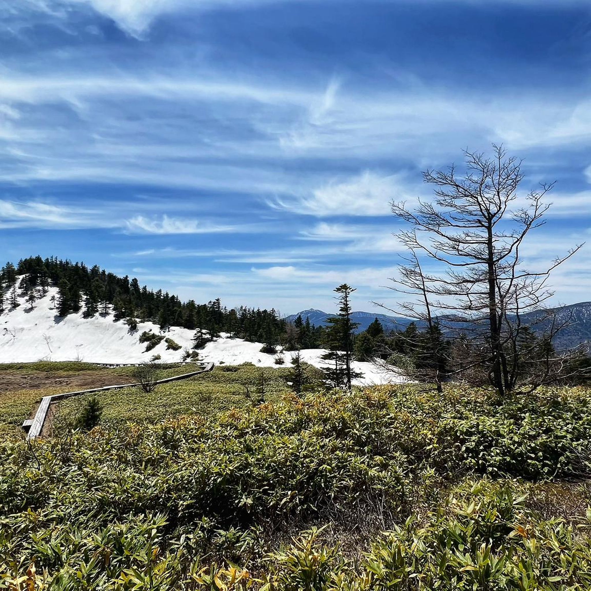
The Mikuni-sammyaku region offers a diverse landscape for running. You can expect breathtaking mountain scenery, volcanic features, and natural monuments. Trails vary from those with minimal elevation gain to more demanding routes with significant altitude changes, providing a varied experience for runners.
Are there running routes suitable for beginners or those looking for an easier run?
Yes, Mikuni-sammyaku offers routes suitable for all abilities. While many trails are moderate to difficult, there is at least one easy route and 15 moderate routes available. For a moderate option, consider the Running loop from Mt. Akagi, which is just over 3 miles (5.3 km) with minimal elevation.
What natural attractions or landmarks can I see while running in Mikuni-sammyaku?
The region is rich in natural beauty. Many routes offer views of impressive waterfalls like Kegon Falls and Yudaki Falls. You can also run alongside beautiful lakes such as Lake Haruna or explore unique natural monuments like the Jigokudani Monkey Park area.
Are there circular running routes in Mikuni-sammyaku?
Yes, many of the running paths in Mikuni-sammyaku are designed as loops, allowing you to start and finish in the same location. An example is the challenging 小沼 – 長七郎山 loop from Mt. Akagi, which covers about 9.7 miles (15.6 km) with significant elevation changes.
What is the best time of year for running in Mikuni-sammyaku?
The mountain passes and trails in Mikuni-sammyaku offer magnificent vistas that change with the seasons. Spring brings fresh greenery, while autumn is known for its vibrant foliage, making these seasons particularly scenic for running. Summer provides lush landscapes, and winter can offer unique, snow-covered routes for experienced runners, though conditions can be challenging.
Are there any family-friendly running paths in the Mikuni-sammyaku region?
While many routes in Mikuni-sammyaku are challenging, there are easier paths with minimal elevation gain that could be suitable for families. Look for routes described as 'easy' or 'moderate' in difficulty, which typically have well-maintained surfaces and shorter distances. Always check the route details for specific suitability.
Can I bring my dog on the running trails in Mikuni-sammyaku?
Policies regarding dogs on trails can vary. While many natural areas in Japan are dog-friendly, some specific parks, nature reserves, or private lands may have restrictions. It's always best to check local signage at the trailhead or specific park regulations before heading out with your dog.
Is parking available at the trailheads for running routes?
Parking availability varies by trailhead. Many popular starting points, especially those near attractions or larger towns, will have designated parking areas. For more remote routes, parking might be limited to small pull-offs. We recommend checking the route details on komoot for specific parking information or looking for nearby public parking options.
How can I access the running trails using public transport?
Public transport access depends on the specific trailhead. Major towns and tourist hubs in the Mikuni-sammyaku region often have bus services that can take you closer to popular trail starting points. For example, routes originating near Hoshino Resorts Hotel or 東武日光 (Tobu Nikko) are generally more accessible by public transport. Always check local bus schedules and routes in advance.
Are there cafes or places to refuel near the running routes?
Yes, especially near more populated areas or popular tourist attractions, you'll often find cafes, restaurants, or convenience stores. For example, routes starting from places like Nozawaonsen or near Lake Chuzenji will likely have amenities nearby. For more remote trails, it's advisable to carry your own snacks and water.
What is a good running route for someone looking for a longer, challenging run?
For experienced runners seeking a significant challenge, the 渋池 – 木戸池 loop from Mt. Higashidate is an excellent option. This difficult route spans over 24 miles (38.7 km) with substantial elevation gain, offering a demanding and rewarding experience through the Mikuni-sammyaku landscape.
What do other runners enjoy the most about jogging in Mikuni-sammyaku?
Runners frequently praise the diverse and stunning natural environment of Mikuni-sammyaku. The combination of mountain scenery, volcanic landscapes, and natural monuments provides a unique backdrop for their runs. The variety of trails, from gentle paths to challenging mountain ascents, also means there's something for every fitness level, making it a popular destination for outdoor enthusiasts.
Most popular routes around Mikuni-sammyaku
Most popular attractions around Mikuni-sammyaku

Get inspired with the komoot mobile app


Explore more
Browse the best Running Trails & Routes in other regions.
