The best walks and hikes around Orero
4.5
(3076)
17,942
hikers
330
hikes
Hiking around Orero offers a variety of trails through the Ligurian Apennine foothills. The region is characterized by its hilly terrain, numerous mountain passes, and dense woodlands, including notable chestnut groves. These features provide diverse landscapes for outdoor exploration. The elevation changes across the area contribute to varied hiking experiences, from moderate ascents to more gradual paths.
Best hiking trails around Orero
- The most popular hiking route is Liciorno and Ramaceto Loop, a 6.1 miles (9.8 km) trail that…
Last updated: August 31, 2026
4.8
(28)
114
hikers
9.83km
04:12
530m
540m
Moderate hike. Good fitness required. Mostly accessible paths. Sure-footedness required.
4.8
(28)
114
hikers
9.83km
04:12
530m
540m
Moderate hike. Good fitness required. Mostly accessible paths. Sure-footedness required.

Sign up for free
4.7
(28)
108
hikers
9.36km
04:12
580m
580m
Moderate hike. Good fitness required. Mostly accessible paths. Sure-footedness required.
4.6
(19)
46
hikers
12.2km
04:37
490m
480m
Moderate hike. Good fitness required. Mostly accessible paths. Sure-footedness required.
4.6
(13)
43
hikers
9.19km
04:03
570m
570m
Moderate hike. Good fitness required. Mostly accessible paths. Sure-footedness required.
Get access to more routes and recommendations from other explorers.
Sign up for free
Already have an account?
Our route recommendations are based on thousands of hikes, rides, and runs completed by other people on komoot.
Start today with a free account
Your next adventure awaits.
Login or Signup

Tips from the Community

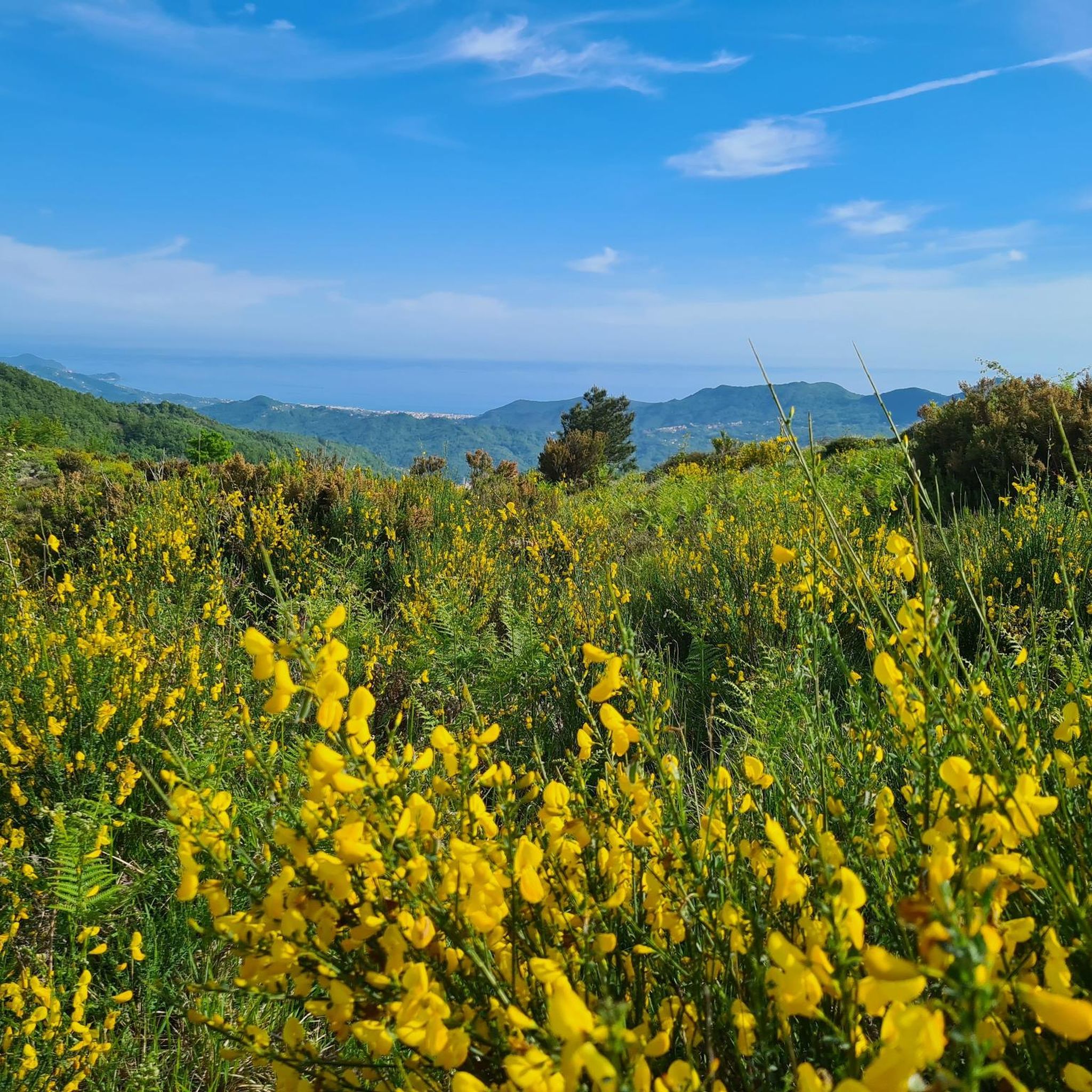
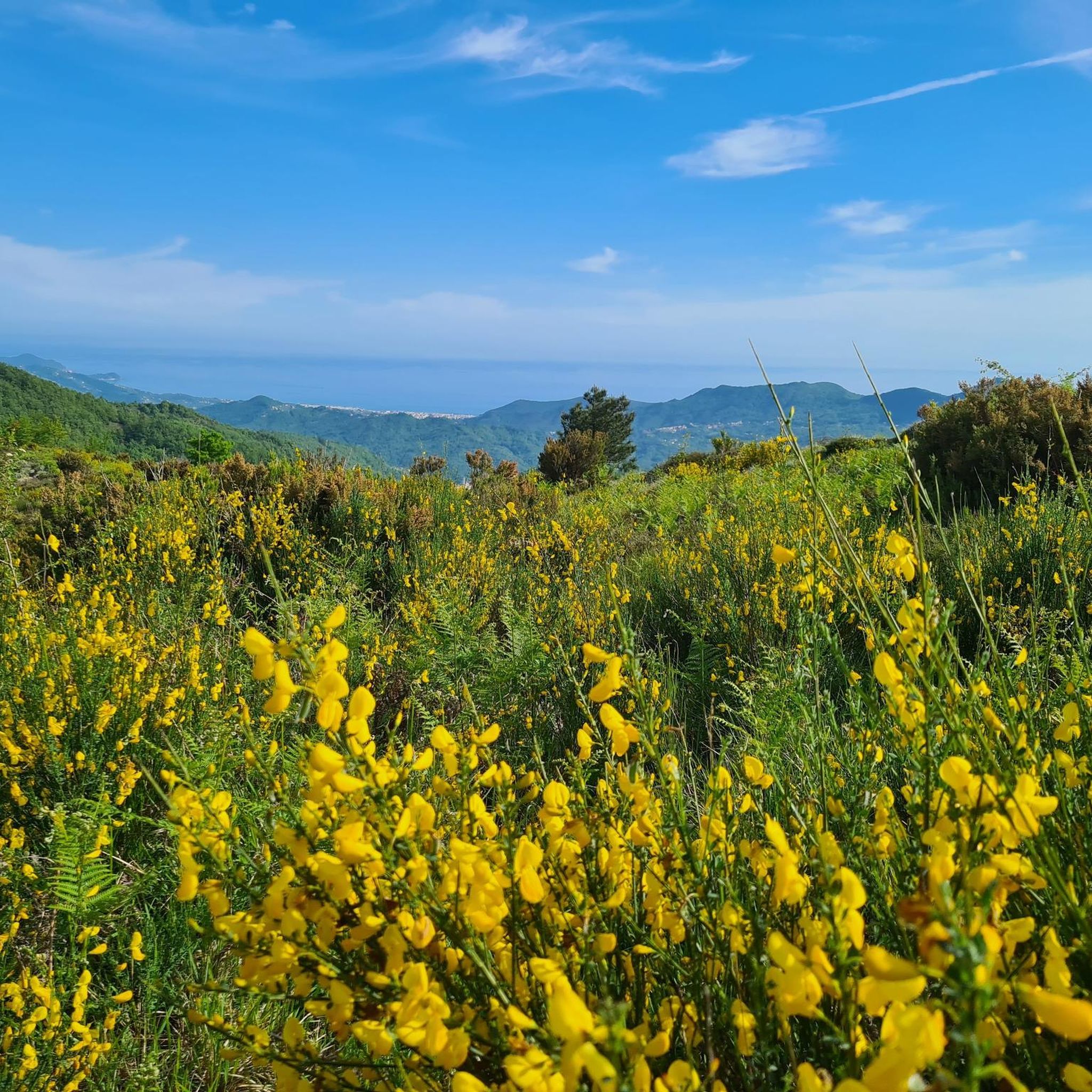
For almost the entire route you can enjoy a wonderful view of the Ligurian Sea
0
0

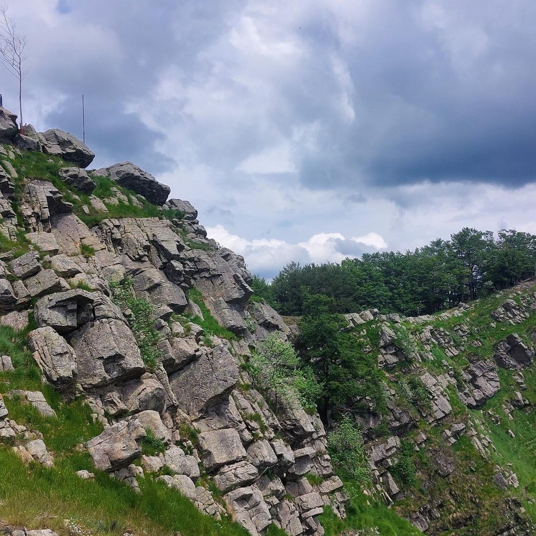
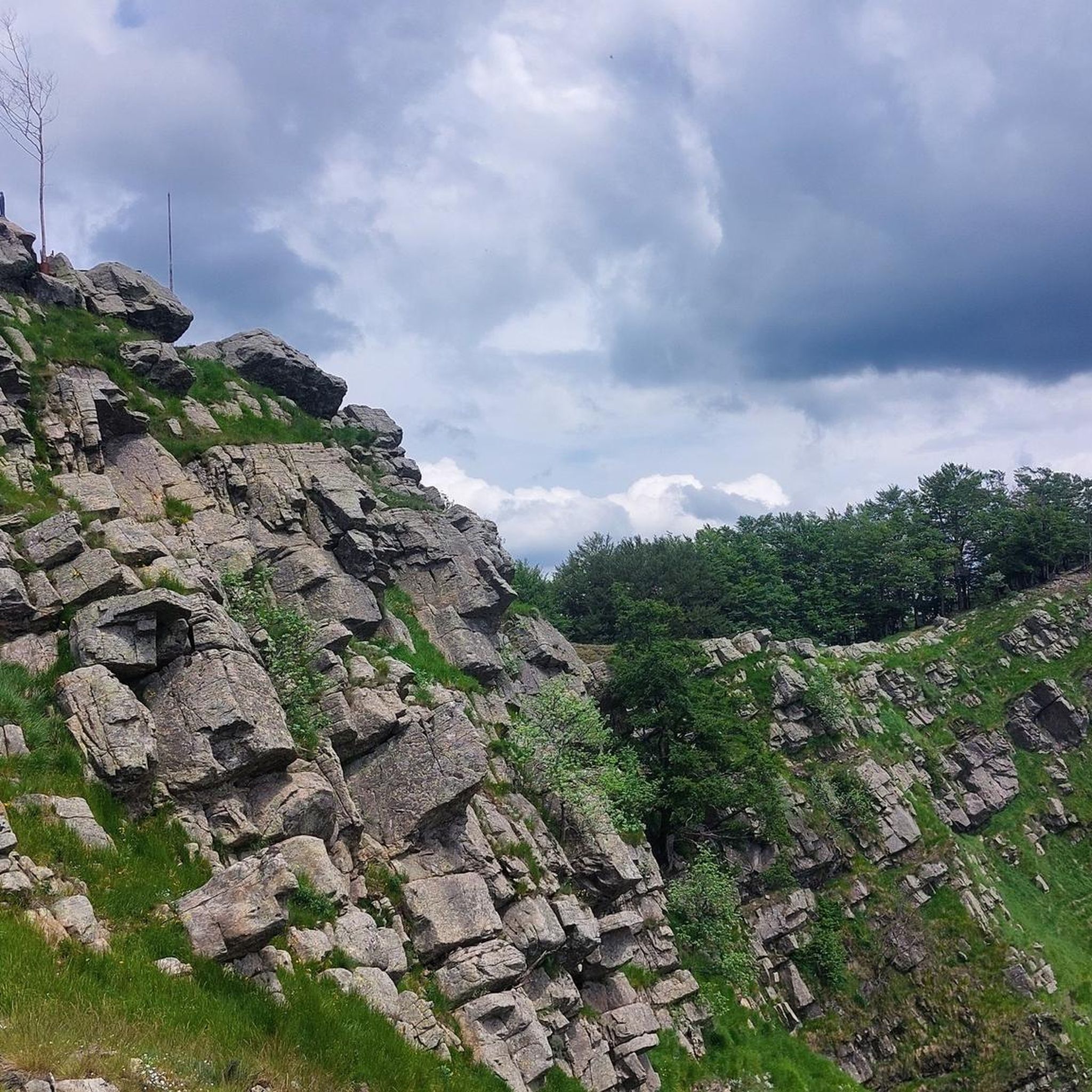
La Bicca di Feie is located on the Alta Via
0
0

Passo Ventarola north (996 m) is located right next to Monte Rondanara. From here, it is also possible to admire Monte Ramaceto. This area offers splendid panoramas and opportunities for mountain excursions immersed in the surrounding nature.
0
0
Mount Ramaceto (1,345 m a.s.l.) is located on the upper Via dei Monti Liguri. From its summit you can see Corsica. http://www.escursioniliguria.it/schede_monti/m_ramaceto.htm
1
0
Crossroads from which several dirt roads start
0
0

Going up from Croce di Orero, follow the signs for Ramaceto. At the top there is a small chapel and a breathtaking view
0
0

We are on the Alta Via dei Monti Liguri and follow it turning left on the wide grassy ridge of the mountain. Overcoming some steep stretches you arrive after about 40 minutes at the Cappelletta del Ramaceto located on the panoramic South-West peak at an altitude of 1320 m. The first refuge chapel was built by Gino Foppiano di Cicagna in 1949. It was ruined by lightning, then rebuilt by the Chiavari CAI in 1971. You can rest on two stone benches, while the structure has no door and can be a Spartan shelter in case of bad weather or for the night. From the top you can admire the tip of Portofino, Monte Fasce, the Manico del Lume, the Croce dei Fo, the Caucasus, the Maggiorasca, the Aiona, the Zatta, the Porcile and the Capenardo. A breathtaking 360 degree view where, on an exceptional day, you can see the Alps and Corsica.
1
0
Splendid panorama at 1350 meters above sea level.
0
0
Frequently Asked Questions
How many hiking trails are there around Orero?
Orero and its surrounding area offer a wide selection of routes, with over 320 hiking trails available. These range in difficulty from easy strolls to more challenging ascents through the Ligurian Apennine foothills.
What types of hiking trails can I find in Orero?
The trails around Orero cater to various skill levels. You'll find approximately 60 easy routes, around 190 moderate paths, and nearly 70 difficult trails. This variety ensures options for both casual walkers and experienced hikers looking for a challenge.
Are there any circular hiking routes in the Orero area?
Yes, many trails around Orero are designed as loops, allowing you to start and end at the same point. A popular option is the Liciorno and Ramaceto Loop, which offers scenic views and takes about 4 hours to complete.
What are some natural attractions or landmarks to see while hiking near Orero?
The region boasts several interesting natural features. You can explore highlights such as the Monte Manico del Lume Summit for panoramic views, or visit Lame Lake. The unique Megalithic Face of Borzonasca is also a notable natural monument in the area.
Are there family-friendly hiking options in Orero?
While many trails involve hilly terrain, there are easier sections and shorter routes suitable for families. Look for paths with less elevation gain or those that pass through the charming chestnut groves, which can be a pleasant experience for all ages.
Can I hike with my dog around Orero?
Generally, dogs are welcome on most hiking trails in the Orero area, provided they are kept under control, especially when encountering wildlife or other hikers. Always check specific trail regulations or local signage for any restrictions, particularly in protected areas.
What is the best time of year to go hiking in Orero?
Spring and autumn are often considered the best seasons for hiking in Orero. The weather is typically mild, and the landscapes are vibrant with spring blooms or rich autumn colors, especially in the chestnut groves. Summer can be warm, so early morning or late afternoon hikes are recommended, while winter offers a different, often quieter, experience, though some higher paths might be snow-covered.
Are there any trails that offer great viewpoints in Orero?
Yes, many trails in the Ligurian Apennine foothills provide excellent viewpoints. Routes that ascend to higher elevations, such as those near Monte Manico del Lume Summit or Portofino Summit, will reward you with expansive vistas of the surrounding valleys and peaks.
What do other hikers say about the trails in Orero?
The hiking trails in Orero are highly regarded by the komoot community, holding an average rating of 4.5 stars from over 2,400 reviews. Hikers often praise the diverse landscapes, the well-maintained paths, and the tranquility of the dense woodlands and mountain passes.
Are there any hikes that go through the famous chestnut groves?
Absolutely. Orero is known for its extensive chestnut groves. A notable route that takes you directly through one of these beautiful areas is From Passo del Dente through Chestnut Grove (via Route 217), offering a unique and scenic experience.
How long do hikes typically take around Orero?
Hiking durations vary significantly based on the trail's length and difficulty. Many moderate routes, like the From Passo Ventarola Sud to Bocca di Feie (Alta Via dei Monti Liguri), can take around 4 hours. Shorter, easier paths might be completed in 1-2 hours, while more challenging, longer routes could extend to 6 hours or more.
Is public transport available to reach hiking trailheads in Orero?
Public transport options to specific trailheads in the more rural areas around Orero can be limited. It's advisable to check local bus schedules in advance or consider driving, as many trailheads are more easily accessible by car. Parking is often available near popular starting points.
Most popular attractions around Orero

Get inspired with the komoot mobile app


Explore more
Browse the best Hikes in other regions.
