The best MTB trails around Orero
4.3
(486)
2,905
riders
81
rides
Mountain bike trails around Orero are situated in a region characterized by significant elevation changes, with routes often traversing mountain passes and leading to summits. The terrain includes varied landscapes, from forested sections to open areas offering expansive views. This area provides a challenging environment for mountain biking, with many routes featuring substantial climbs and descents. The network of trails connects various points of interest, including passes and refuges, indicative of a mountainous or hilly environment.
Best mountain bike trails…
Last updated: July 13, 2026
4.8
(5)
48
riders
36.0km
04:24
1,520m
1,520m
Hard mountain bike ride. Very good fitness required. Advanced riding skills necessary. Some portions of the route may require you to push your bike.
4.4
(5)
29
riders
34.1km
03:29
1,210m
1,210m
Hard mountain bike ride. Very good fitness required. Advanced riding skills necessary. Some portions of the route may require you to push your bike.

Sign up for free
1
riders
72.5km
08:26
2,930m
2,930m
Hard mountain bike ride. Very good fitness required. Advanced riding skills necessary. Some portions of the route may require you to push your bike.
5.0
(5)
13
riders
Hard mountain bike ride. Good fitness required. Advanced riding skills necessary. Some portions of the route may require you to push your bike.
5.0
(2)
13
riders
26.0km
02:42
1,000m
1,000m
Hard mountain bike ride. Very good fitness required. Advanced riding skills necessary. Some portions of the route may require you to push your bike.
Get access to more routes and recommendations from other explorers.
Sign up for free
Already have an account?
Our route recommendations are based on thousands of hikes, rides, and runs completed by other people on komoot.
Start today with a free account
Your next adventure awaits.
Login or Signup
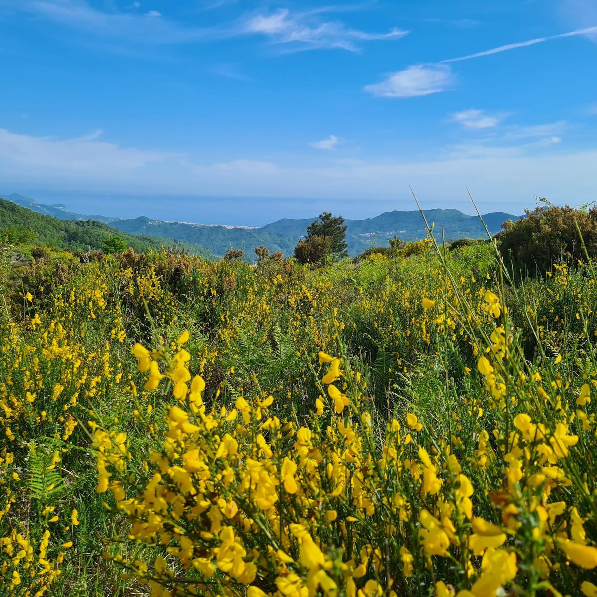
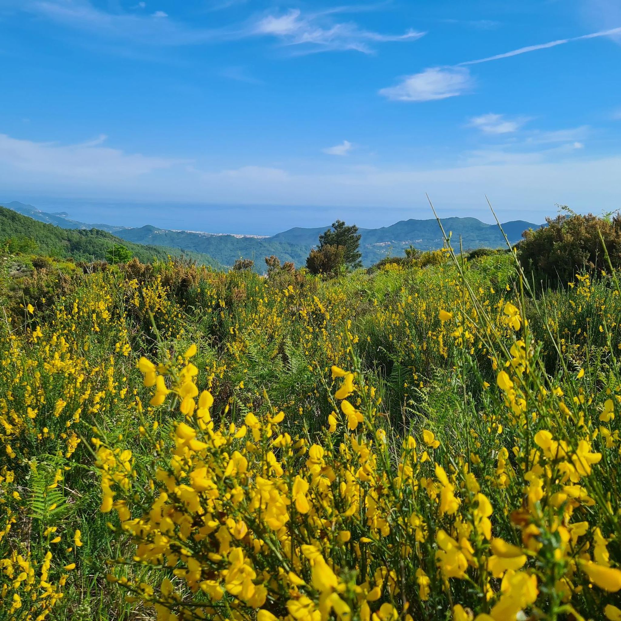
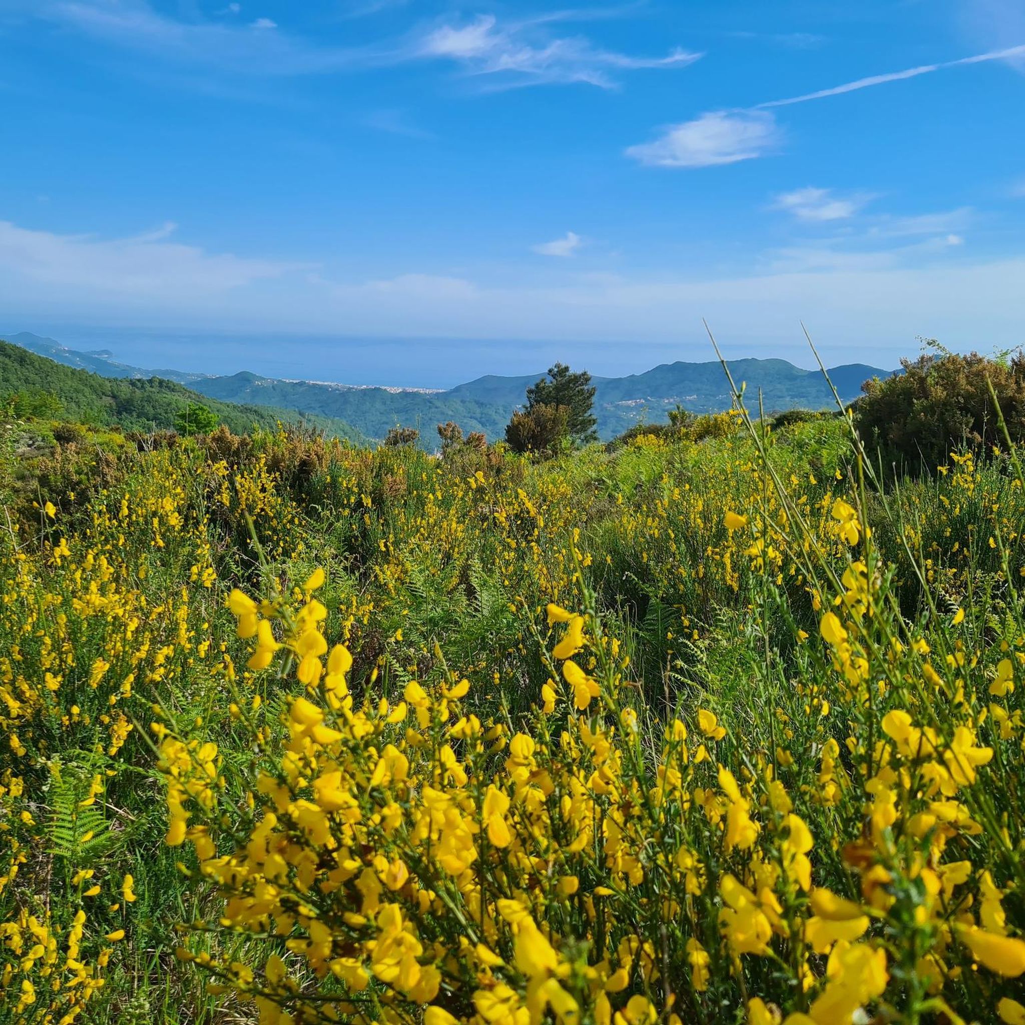

Tips from the Community


From here you can get everywhere!
0
0

Great to climb to and to descend from. For the most part is a gentle grade with great views
0
0

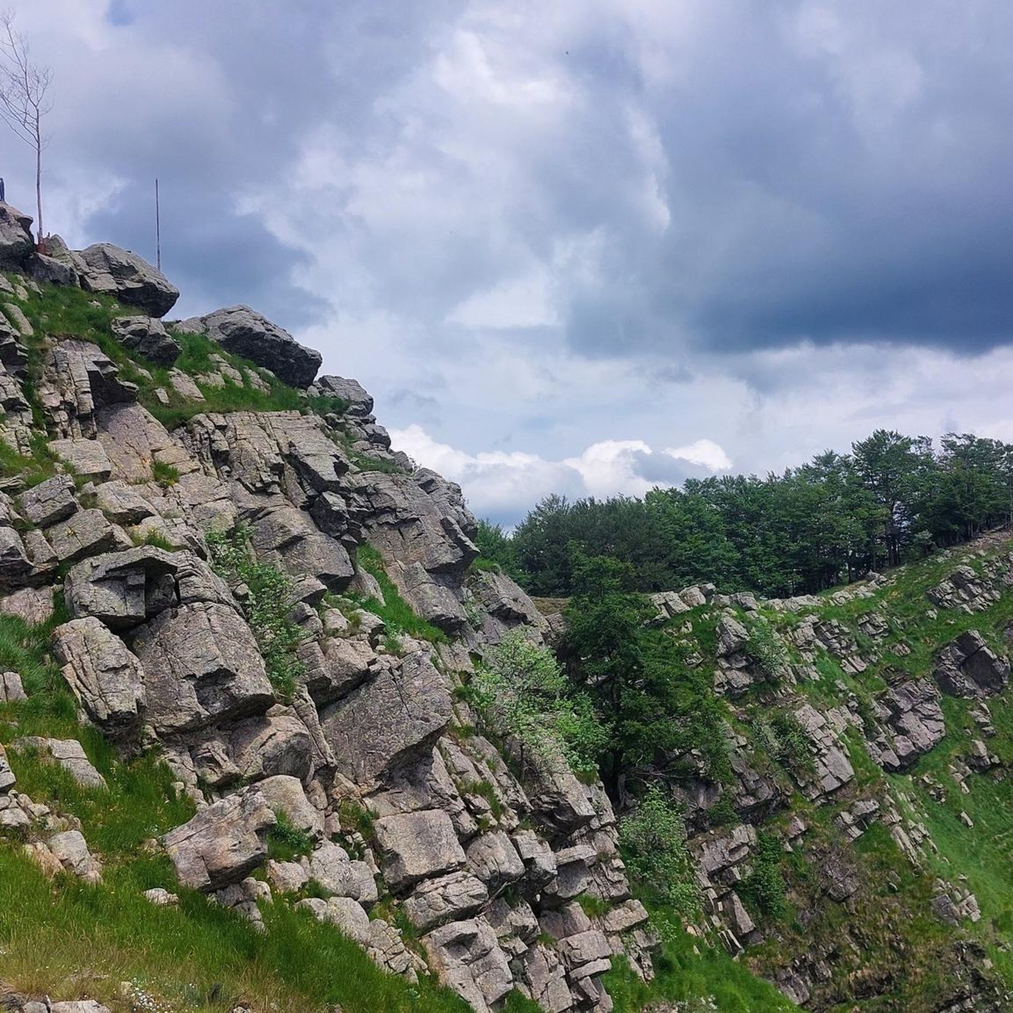
Pria Burgheisa (Pietra Borghese) is a massive outcrop of mantle peridotites, among the best-known and most significant in the area. It lies on the southwestern edge of the Prato Mollo plateau, on the southern slopes of Mount Aiona, at an altitude of 1,465 m. It is a geosite of considerable petrographic, mineralogical, and regional geological interest, allowing us to study the evolution of a portion of the lithospheric mantle subsequently involved in the Apennine orogeny. The outcrop has a highly irregular shape: 30 m long, 10 m wide at its maximum, and 7–8 m high. The rocks are dark in color, ranging from blackish to brownish; the mass is affected by three main fracture systems, more or less orthogonal to each other, which fragment it into numerous square-shaped blocks. The surface of the blocks has a pitted appearance, as the pyroxene crystals, more resistant to erosion than olivine, remain prominent. At the outcrop, mantle foliation is evident, due to the presence of frequent pyroxenite bands. Source: Liguria Geosite Registry.
0
0

Not far from the Aiona–Pratomollo Refuge, near the dirt road, you come across Pietra Borghese, a truly unique rocky outcrop. At first glance, it may seem like a simple dark mass that emerges from the pastures, but it is actually a very ancient rock, among the oldest in Italy: it is over two billion years old and actually comes from the Earth's mantle. Its composition, rich in magnetite, causes compasses to go crazy in the surrounding area, and it is not uncommon for its summit to be struck by lightning during storms. Some legends have also developed around this stone, including one that wants it to be a meteorite that fell from the sky. In reality, its true charm lies in its deep geological origin, which tells an ancient story linked to the birth of the Apennines and the disappearance of a prehistoric ocean.
0
0


excursion done in winter, very beautiful and panoramic, with a lot of snow, good equipment is needed, gaiters and crampons, and a good shell for the strong winds on the ridge.
0
0

Frequently Asked Questions
How many mountain bike trails are available around Orero?
There are over 75 mountain bike trails around Orero. The area offers a diverse range of routes, including 8 easy, 20 moderate, and 47 difficult trails, catering to various skill levels.
What kind of terrain can I expect on mountain bike trails around Orero?
Mountain bike trails around Orero are characterized by significant elevation changes, often traversing mountain passes and leading to summits. You can expect varied landscapes, from dense forested sections to open areas offering expansive views. The terrain provides a challenging environment with many routes featuring substantial climbs and descents, similar to the diverse experiences found in other Italian regions known for mountain biking, which include technical sections with roots and steep ascents.
Are there mountain bike trails suitable for beginners in Orero?
Yes, Orero offers 8 easy mountain bike trails. While the region is known for its challenging terrain, these routes provide a good starting point for less experienced riders to enjoy the scenic landscapes without overly demanding technical sections.
Are there challenging mountain bike trails for experienced riders in Orero?
Absolutely. Orero is particularly well-suited for experienced mountain bikers, with 47 difficult trails available. Routes like the Passo della Scoglina – Summit of Monte Caucaso loop from Moconesi and the Passo del Dente – Romaggi Pass (722 m) loop from Leivi offer demanding rides with significant elevation gains and technical sections.
Can I find circular mountain bike routes in Orero?
Yes, many of the mountain bike routes around Orero are designed as loops, allowing you to start and finish at the same point. Examples include the Rifugio Pratomollo – Passo della Spingarda loop from Temossi and the Romaggi Pass (722 m) – Aveggio–Romaggi Junction loop from Pian dei Manzi.
What are some of the longer mountain bike routes in the Orero area?
For those seeking longer rides, the Rifugio Pratomollo – Passo della Spingarda loop from Temossi is a substantial 45.1 miles (72.6 km) trail, typically taking over 8 hours to complete. Another challenging option is the Romaggi Pass (722 m) – Aveggio–Romaggi Junction loop from Pian dei Manzi, which covers 41.0 miles (41.0 km).
What can I see along the mountain bike trails around Orero?
The trails around Orero offer access to various natural and man-made attractions. You can encounter significant mountain passes like Forcella Pass and Passo della Crocetta, as well as impressive peaks such as Monte Manico del Lume Summit and Mount Gifarco. Don't miss unique landmarks like The Sword in the Stone of Monte Gifarco.
What do other mountain bikers enjoy the most about mountain biking in Orero?
The mountain biking experience in Orero is highly rated by the komoot community, with an average score of 4.38 stars from nearly 400 reviews. Riders often praise the challenging mountain passes, significant elevation changes, and the diverse natural landscapes that define the area. The network offers rewarding routes for those seeking demanding rides with substantial climbs and descents.
Is Orero a good destination for mountain biking year-round?
While specific conditions vary, the broader Liguria region, like other Italian outdoor destinations, often benefits from a mild climate, making outdoor activities enjoyable for much of the year. However, given Orero's significant elevation changes and mountain passes, it's always advisable to check local weather and trail conditions, especially during winter months when higher elevations might experience snow or ice.
Are there any routes that combine mountain biking with scenic viewpoints?
Many trails in Orero offer expansive views due to the region's mountainous character. The Passo della Scoglina – Summit of Monte Caucaso loop from Moconesi, for instance, leads to Monte Caucaso, likely offering panoramic vistas. Additionally, the Portofino Summit is a notable viewpoint in the vicinity that can be incorporated into longer rides or visited separately.
How popular are the mountain bike trails in Orero?
The mountain bike trails around Orero are quite popular within the komoot community, with over 2,700 mountain bikers having explored the area using komoot. The high average rating of 4.38 stars from nearly 400 reviews further indicates a well-regarded and frequently visited destination for mountain biking enthusiasts.
Most popular attractions around Orero

Get inspired with the komoot mobile app


Explore more
Browse the best MTB trails in other regions.
