The best walks and hikes around Favale Di Malvaro
4.5
(1083)
3,739
hikers
150
hikes
Hiking around Favale Di Malvaro offers diverse landscapes within the Malvaro stream valley, a side valley of the Fontanabuona valley in Liguria. The region features mountainous terrain, including peaks like Mount Pagliaro (1180m) and Mount Caucaso (1250m), and the significant Passo della Scoglina (926m). Hikers can explore well-preserved chestnut groves, grazing areas, and beech woods, characteristic of the Ligurian Apennines.
Best hiking trails in Favale Di Malvaro
- The most popular hiking route is A13 Scoglina Loop, a 6.2 miles…
Last updated: October 12, 2026
4.6
(66)
188
hikers
9.99km
03:31
410m
410m
Hike the moderate 6.2-mile Rifugio Barbagelata e Monte Caucaso loop for stunning 360-degree views from the summit.
4.6
(65)
179
hikers
9.29km
03:13
380m
380m
Hike the A13 Monte Caucaso Loop for 5.8 miles (9.3 km) through beech forests to panoramic views of the Ligurian Sea from Monte Caucaso.

4.7
(30)
119
hikers
9.83km
04:12
530m
540m
Ridge walk through Aveto Nature Reserve with sweeping views to Corsica from Ramaceto's summit chapel.
4.7
(29)
117
hikers
9.83km
04:12
530m
540m
Hike the moderate 6.1-mile Alta Via dei Monti Liguri from Passo Ventarola Sud to Bocca di Feie, featuring beech woods and panoramic views.
5.0
(1)
3
hikers
20.8km
08:45
1,040m
1,040m
Historic mountain traverse linking Ligurian coasts through scenic passes and ancient trading routes.
Get access to more routes and recommendations from other explorers.
Already have an account?
Our route recommendations are based on thousands of hikes, rides, and runs completed by other people on komoot.
Start today with a free account
Your next adventure awaits.
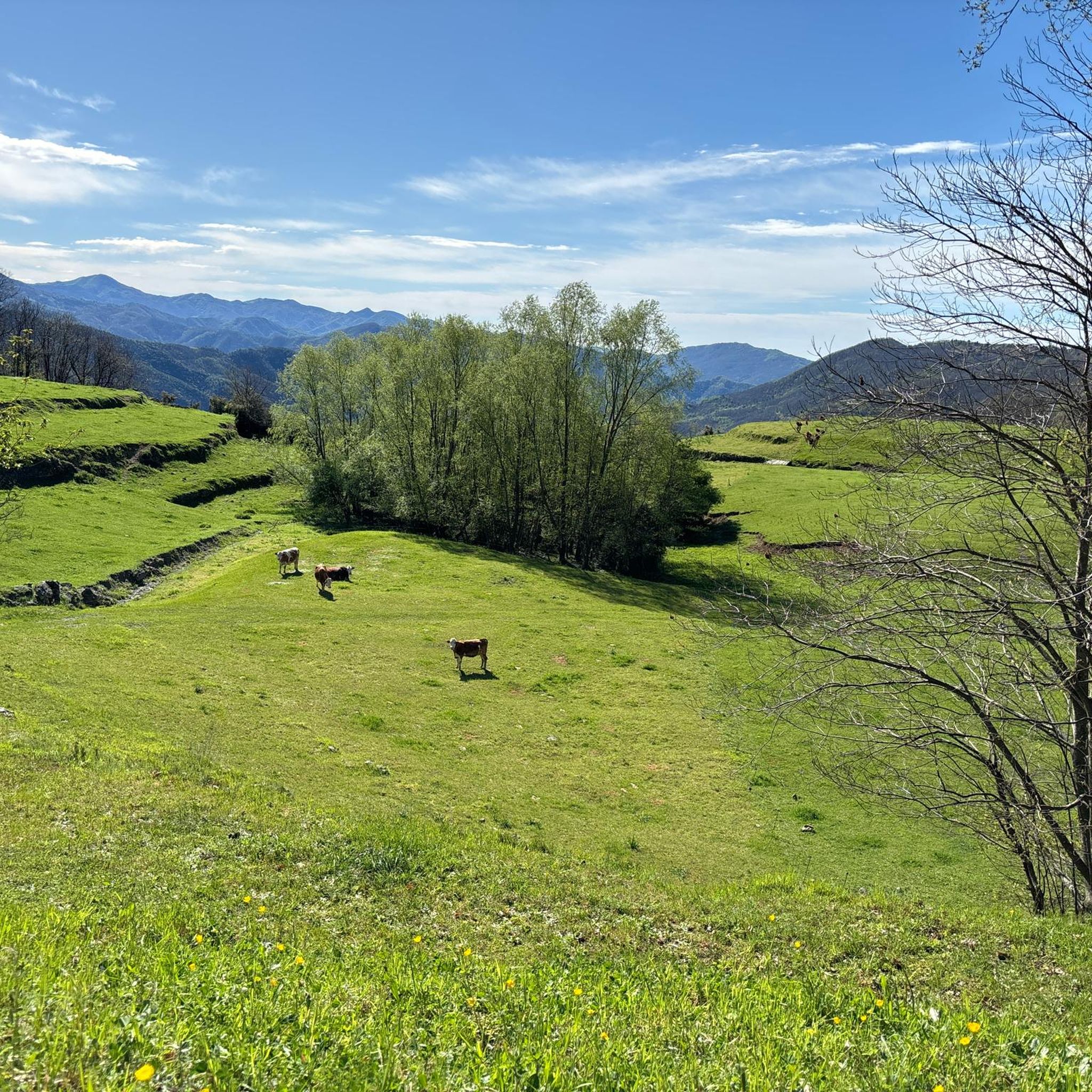
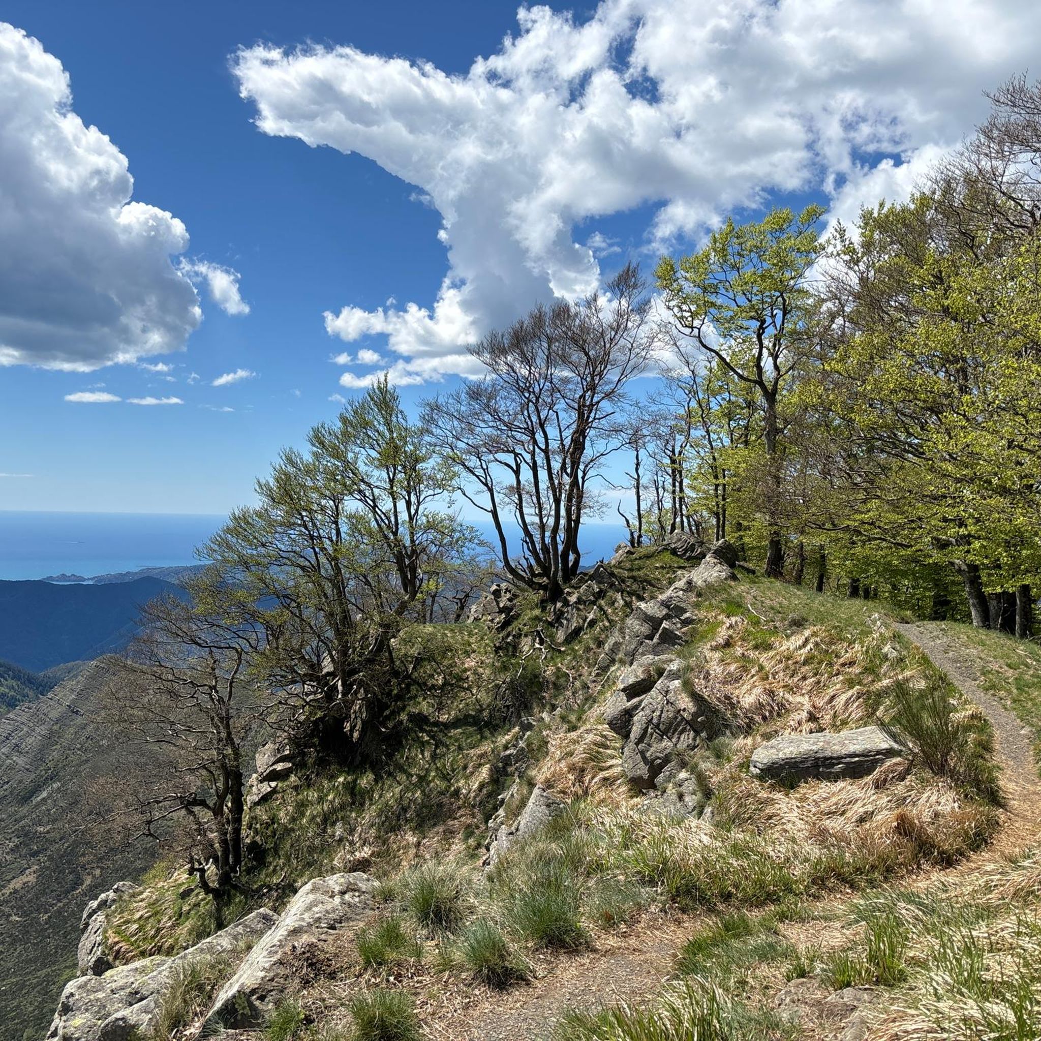
Tips from the Community

From here you can get everywhere!
0
0


Once I reach the Scoglina pass, at 920 meters above sea level, a table with a bench invites you to rest for a moment before continuing with the descent. Here there is also a monument to the Partisans.
0
0

For almost the entire route you can enjoy a wonderful view of the Ligurian Sea
0
0

La Bicca di Feie is located on the Alta Via
0
0

Passo Ventarola north (996 m) is located right next to Monte Rondanara. From here, it is also possible to admire Monte Ramaceto. This area offers splendid panoramas and opportunities for mountain excursions immersed in the surrounding nature.
0
0
Located along the Alta Via, at an altitude of 1150 m, the Barbagelata Refuge has two rooms, for a total of 12 beds, two bathrooms with shower and hot water, terrace. https://www.cailiguria.it/AVML/portale/it/ospview4f1e.html?contentId=OSP1658
1
0
Mount Ramaceto (1,345 m a.s.l.) is located on the upper Via dei Monti Liguri. From its summit you can see Corsica. http://www.escursioniliguria.it/schede_monti/m_ramaceto.htm
1
0
Frequently Asked Questions
How many hiking trails are there around Favale Di Malvaro?
Favale Di Malvaro offers a wide variety of hiking opportunities, with over 140 trails available. These range from easy strolls to challenging mountain treks, catering to all experience levels.
Are there any easy hiking trails suitable for beginners or families?
Yes, Favale Di Malvaro has around 10 easy trails perfect for beginners or families. These routes typically feature gentle gradients and shorter distances, allowing everyone to enjoy the beautiful Ligurian landscape. While specific family-friendly routes aren't highlighted, the region's diverse trails ensure there are options for less strenuous walks.
What kind of natural features or landmarks can I expect to see on the trails?
The trails around Favale Di Malvaro showcase diverse natural beauty. You can expect to encounter well-preserved chestnut groves, serene beech woods, and the pure waters of local streams. A notable natural attraction is the Acquapendente Water Jump. For panoramic views, routes often lead towards peaks like Mount Pagliaro and Mount Caucaso, or through the significant Passo della Scoglina. You might also pass by the Summit of Monte Caucaso, which is a highlight for many hikers.
Are there any circular hiking routes in the area?
Yes, Favale Di Malvaro offers several excellent circular routes. A popular choice is the A13 Scoglina Loop, which explores the area around Passo della Scoglina. Another highly-rated option is the A13 Monte Caucaso Loop, offering views of one of the region's prominent peaks. The Liciorno and Ramaceto Loop is also a great choice for a varied circular hike.
What is the best time of year to go hiking in Favale Di Malvaro?
The region is generally pleasant for hiking from spring through autumn. Spring brings blooming flora, while autumn offers vibrant foliage in the chestnut and beech woods. Summer can be warm, but higher elevations provide cooler temperatures. Winter hiking is possible, especially on lower trails, but conditions can vary, particularly at higher altitudes where snow may be present.
Are dogs allowed on the hiking trails?
Most natural trails in the Favale Di Malvaro area are generally dog-friendly. However, it's always recommended to keep your dog on a leash, especially in areas with livestock or wildlife, and to follow local regulations regarding pet waste. Always ensure your dog is well-behaved and doesn't disturb other hikers or the natural environment.
What are the more challenging hiking options available?
For experienced hikers seeking a challenge, Favale Di Malvaro offers around 39 difficult trails. These often involve significant elevation gains and longer distances, leading to peaks like Mount Pagliaro and Mount Caucaso. Sections of the renowned Alta Via dei Monti Liguri, such as the Alta Via dei Monti Liguri from Rifugio Barbagelata to Valico di Barbagelata, provide demanding long-distance trekking experiences with substantial ascents and descents.
Are there places to stay overnight or huts along the trails?
Yes, for those planning longer treks or looking for a place to rest, there are huts and refuges in the wider area. Notable options include the Ventarola Refuge and Rifugio Barbagelata. These can be convenient for multi-day hikes or as a base for exploring specific sections of the trails.
What do other hikers enjoy most about hiking in Favale Di Malvaro?
The hiking trails around Favale Di Malvaro are highly rated by the komoot community, with an average score of 4.5 stars from over 800 reviews. Hikers often praise the diverse landscapes, from the characteristic Apennine terrain with its chestnut and beech woods to the expansive panoramic views from the peaks. The well-maintained network of trails and the opportunity to explore sections of the historic Alta Via dei Monti Liguri are also frequently highlighted.
Can I access the hiking trails using public transport?
While Favale Di Malvaro is nestled in a valley, public transport options to the immediate trailheads might be limited. It's advisable to check local bus schedules for connections from larger towns in the Fontanabuona Valley or Genoa. Many hikers prefer to arrive by car, as this offers more flexibility to reach various starting points.
Are there any specific routes that are part of the Alta Via dei Monti Liguri?
Yes, Favale Di Malvaro is notably traversed by the Alta Via dei Monti Liguri, a renowned Apennine path that spans the entire Liguria region. You can hike sections of this long-distance trail, such as the route From Passo Ventarola Sud to Bocca di Feie, which offers a true taste of the Ligurian Apennines.
Most popular attractions around Favale Di Malvaro

Get inspired with the komoot mobile app


Explore more
Browse the best Hikes in other regions.
