The best running trails around Pragelato
4.1
(6)
853
runners
39
runs
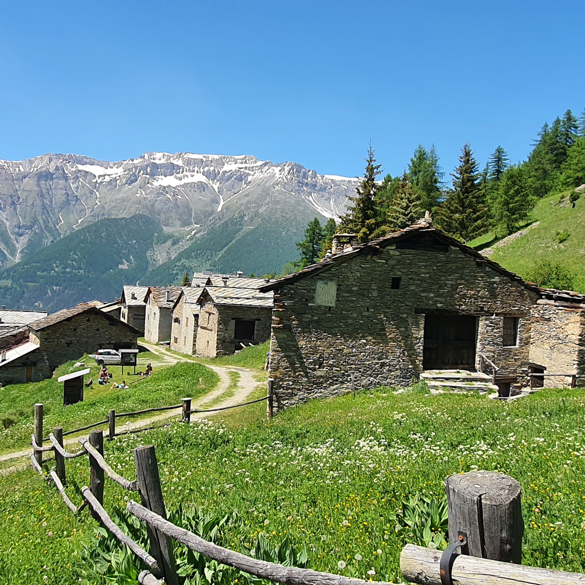
Jogging around Pragelato offers access to diverse alpine landscapes within Italy's Piedmont region. Situated at 1,518 meters above sea level, the area is characterized by the surrounding Cottian Alps and the Chisone Valley. The Val Troncea Natural Park provides a protected environment with a variety of running trails. Joggers can explore paths through lush forests, alongside glacial streams, and across high-altitude meadows.
Best jogging routes around Pragelato
- The most popular jogging route is From Pragelato to Pattermouche – Parco Naturale della Val Troncea, a 6.1 miles (9.9 km) moderate trail that takes 1 hour 12 minutes to complete. This route offers scenic views within the Val Troncea Natural Park.
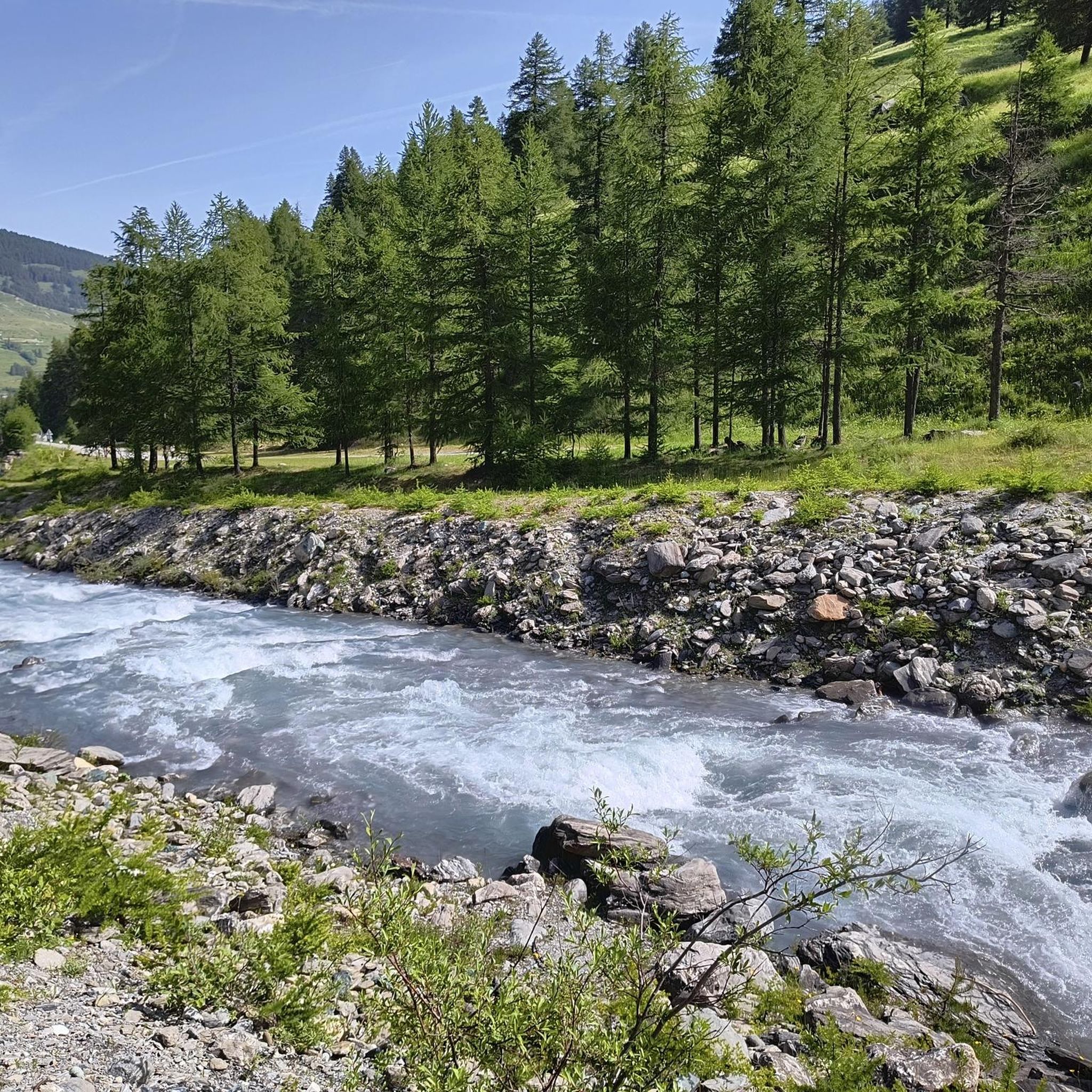
- Another top favourite among local runners is Along the Torrente Chisone – loop in the Parco Naturale della Val Troncea, a difficult 8.3 miles (13.4 km) path. This route follows the Torrente Chisone through varied terrain within the natural park.
- Local runners also love the Waldensian Trail: The Glorious Recovery, a 2.7 miles (4.3 km) trail leading through the Val Troncea Natural Park, often completed in about 32 minutes.
- Jogging around Pragelato is defined by alpine landscapes, lush forests, and glacial streams. The network offers options for different ability levels, from easy loops to challenging routes with significant elevation gains.
- The routes in Pragelato are highly rated by the komoot community with an average score of 4.3 stars from a few reviews. More than 900 runners have used komoot to explore Pragelato's varied terrain.
Last updated: August 17, 2026
4.5
(2)
131
runners
9.88km
01:12
140m
140m
Moderate run. Good fitness required. Mostly paved surfaces. Suitable for all skill levels.
49
runners
13.4km
01:45
360m
350m
Hard run. Very good fitness required. Sure-footedness, sturdy shoes and alpine experience required.

Sign up for free
4.0
(1)
32
runners
11.2km
03:09
1,380m
1,380m
Hard run. Very good fitness required. Sure-footedness, sturdy shoes and alpine experience required.
10
runners
4.32km
00:33
70m
70m
Easy run. Great for any fitness level. Mostly paved surfaces. Suitable for all skill levels.
8
runners
13.3km
01:39
240m
240m
Moderate run. Good fitness required. Mostly accessible paths. Some sure footedness required.
Get access to more routes and recommendations from other explorers.
Sign up for free
Already have an account?
Our route recommendations are based on thousands of hikes, rides, and runs completed by other people on komoot.
Start today with a free account
Your next adventure awaits.
Login or Signup


Tips from the Community


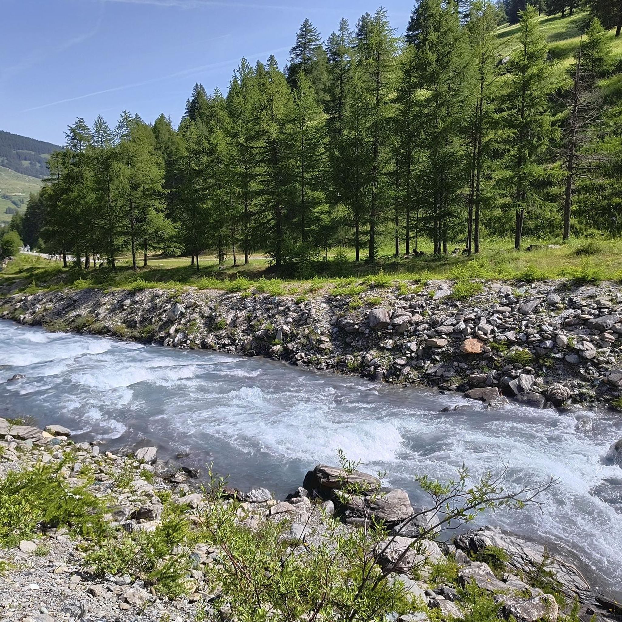
crossing the Chisone River at Fraisse
0
0
starting point for various Alpine tours
0
0

The refuge is also open during winter weekends and can be reached via a well-trodden and easy-to-follow path.
0
0


Rest stop before tackling the final 8 km climb to Sestriere (2035 m). Eat some protein and remember to bring water. The climb is always exposed to the sun. The average gradient is 6%.
0
0


Frequently Asked Questions
How many running routes are available around Pragelato?
There are over 40 running routes around Pragelato, offering a wide range of options for different fitness levels and preferences. These include easy loops, moderate trails, and more challenging paths with significant elevation gains.
Are there any easy or beginner-friendly jogging routes in Pragelato?
Yes, Pragelato offers several easy routes suitable for beginners or those looking for a relaxed run. An excellent option is the Waldensian Trail: The Glorious Recovery, an easy 4.3 km trail within the Val Troncea Natural Park, often completed in about 32 minutes.
What kind of challenging running trails can I find in Pragelato?
For experienced runners seeking a challenge, Pragelato has several difficult routes. One such trail is Along the Torrente Chisone – loop in the Parco Naturale della Val Troncea, an 8.3-mile (13.4 km) path that follows the Torrente Chisone through varied and demanding terrain. Another challenging option is Monte Albergian da Pragelato, which features over 1300 meters of elevation gain.
Are there any circular jogging routes in the Pragelato area?
Yes, many of the running routes in Pragelato are circular, allowing you to start and finish at the same point. For example, the Pragelato to Lake Pourrières Loop is a moderate 13.3 km route that offers a scenic circular experience.
What natural attractions or landmarks can I see while running in Pragelato?
Jogging routes in Pragelato often pass through the stunning Val Troncea Natural Park, offering views of lush pine and larch forests, glacial streams, and high-altitude meadows. You might encounter highlights such as Lake Laux or the 13 Lakes Plateau (Pian dei 13 Laghi). The area is rich in alpine vistas and the Torrente Chisone river.
Is Pragelato suitable for family-friendly running or walking?
Absolutely. The Val Troncea Natural Park, with its protected environment and varied trails, offers options suitable for families. While some routes are challenging, there are also easier, shorter loops that can be enjoyed by families looking for a gentle run or walk amidst nature.
What is the best time of year to go jogging in Pragelato?
Pragelato is excellent for jogging from spring through autumn when the alpine trails are clear of snow and the weather is mild. The lush forests and meadows are particularly beautiful during these seasons. While winter offers opportunities for snowshoeing and cross-country skiing, dedicated jogging routes might be limited by snow cover.
Are there any running routes that offer great viewpoints in Pragelato?
Many routes in Pragelato provide panoramic alpine vistas. Trails within the Val Troncea Natural Park, especially those with some elevation gain, often open up to breathtaking views of the Cottian Alps and the Chisone Valley, allowing joggers to immerse themselves in the serene mountain environment.
What do other runners enjoy most about jogging in Pragelato?
The running routes in Pragelato are highly rated by the komoot community, with an average score of 4.3 stars. Runners often praise the diverse alpine landscapes, the serene environment of the Val Troncea Natural Park, and the variety of trails suitable for different ability levels.
Are there opportunities for wildlife spotting along the running trails?
Given that many routes traverse the Val Troncea Natural Park, a protected alpine area, there are opportunities to observe local wildlife. The park's diverse ecosystems, including forests and high-altitude meadows, provide habitats for various species, making for an enriching outdoor experience.
Are there any running routes that pass by lakes or rivers?
Yes, Pragelato's natural features include glacial streams and the Torrente Chisone. The Along the Torrente Chisone – loop in the Parco Naturale della Val Troncea route, as its name suggests, follows the river, offering beautiful waterside running. Additionally, the Pragelato to Lake Pourrières Loop takes you past a scenic lake.
What should I consider regarding parking when planning a run in Pragelato?
While specific parking details vary by trailhead, Pragelato is a well-established outdoor destination. It's advisable to check local signage or online resources for designated parking areas near your chosen starting point, especially when visiting popular areas like the Val Troncea Natural Park.
Most popular routes around Pragelato
Most popular attractions around Pragelato

Get inspired with the komoot mobile app


Explore more
Browse the best Running Trails & Routes in other regions.
