The best gravel rides around Pragelato
4.8
(85)
1,454
riders
49
rides
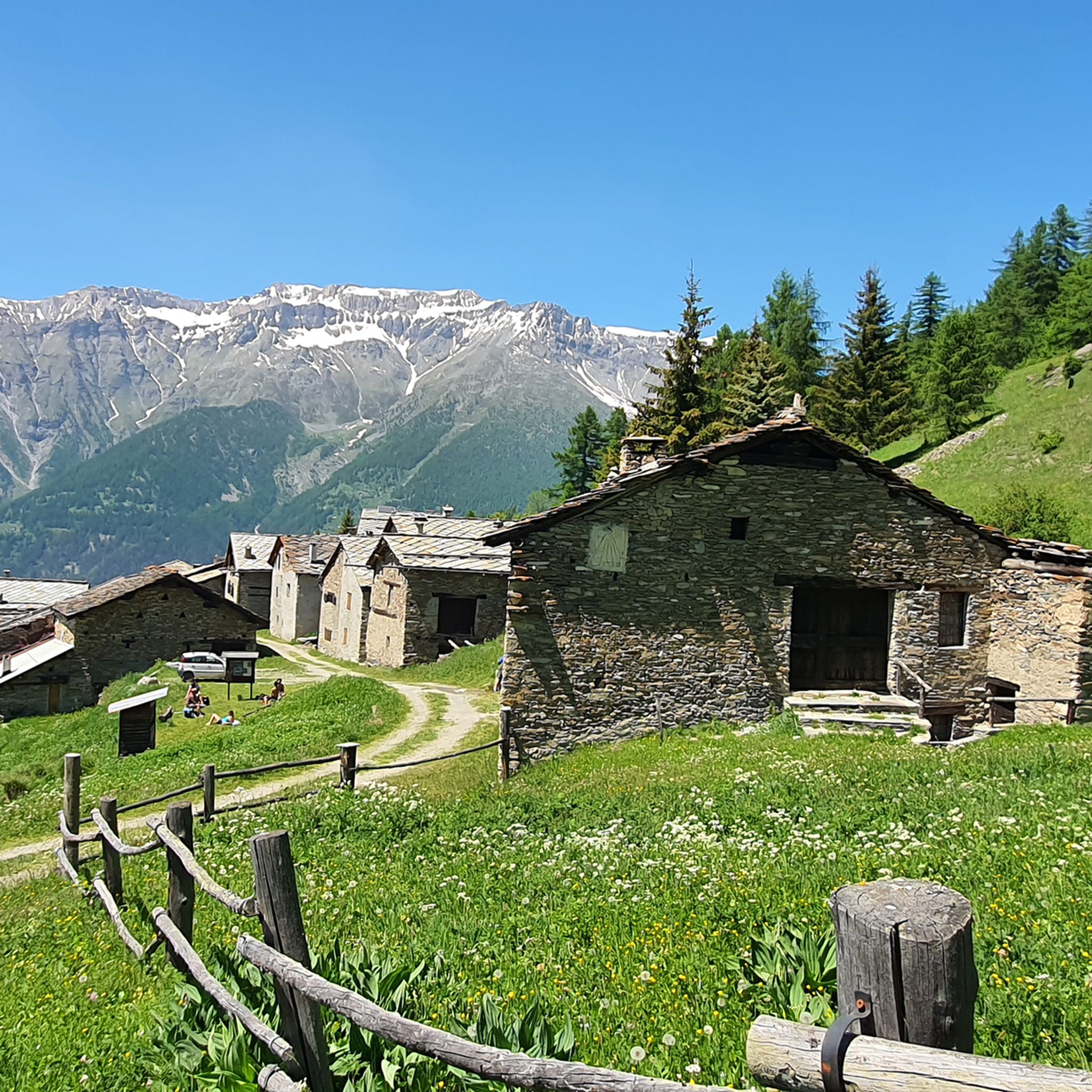
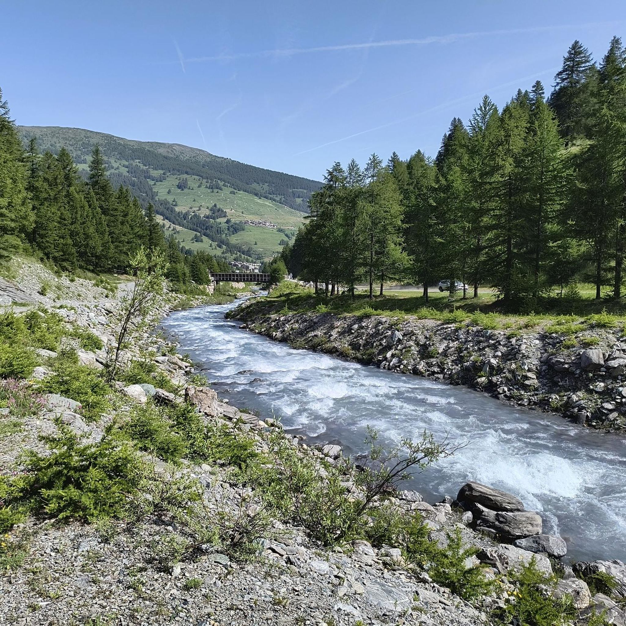
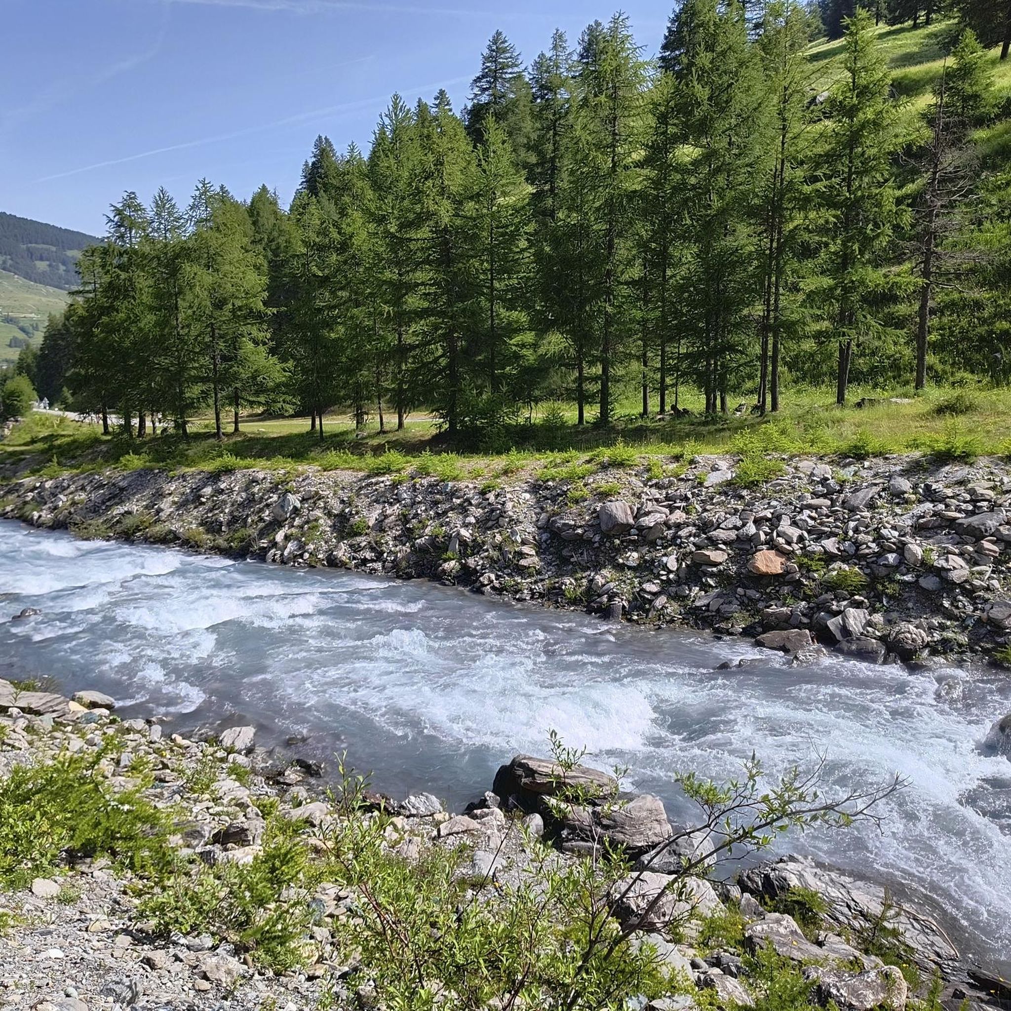
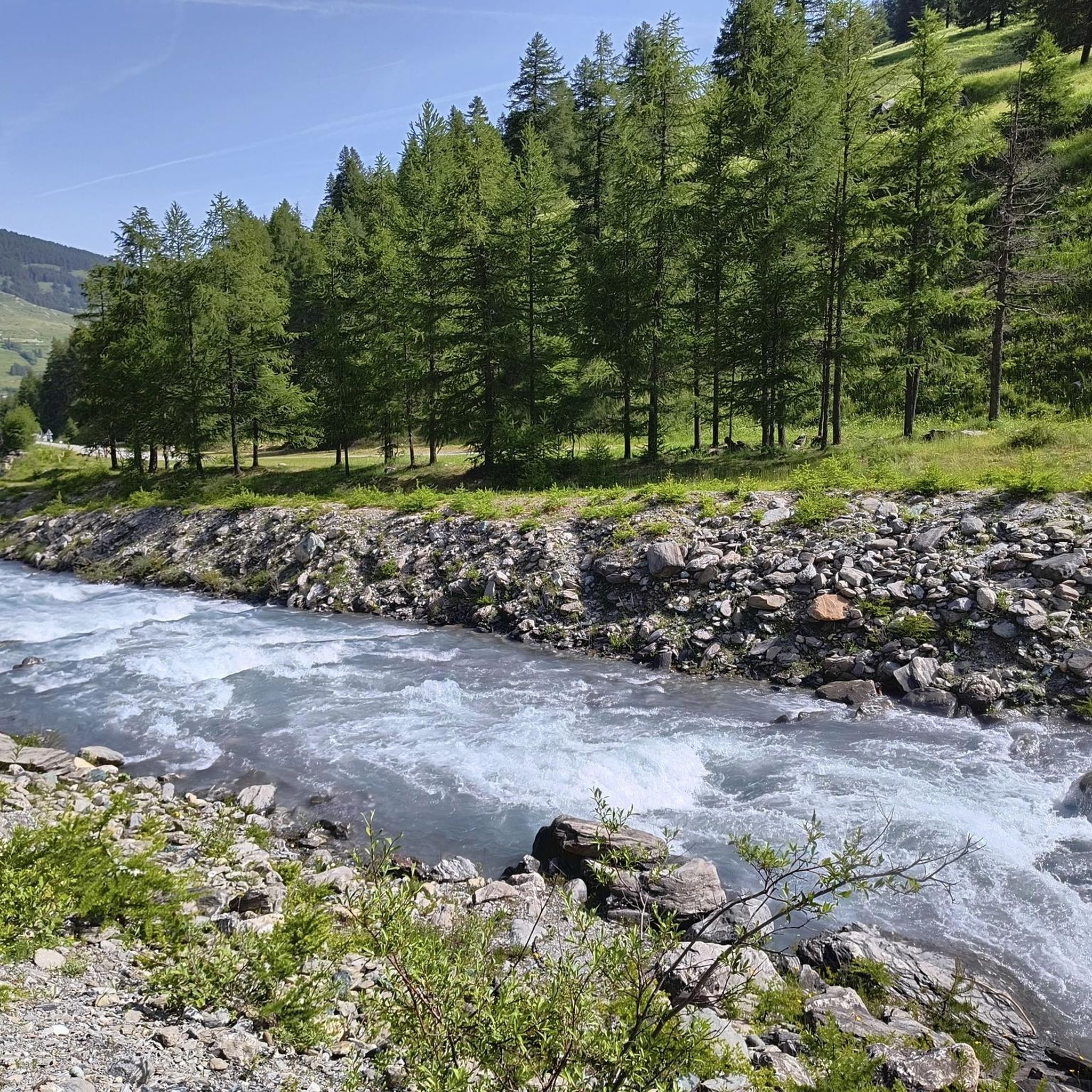
Gravel biking around Pragelato offers diverse terrain within the upper Val Chisone, set against the backdrop of the Cottian Alps. The region features high-altitude meadows, traditional alpine hamlets, and extensive pine and larch forests, particularly within the Val Troncea Natural Park. Gravel routes often include sections of dirt roads, such as the Strada dell'Assietta, providing challenging climbs and alpine vistas. Glacial streams and varied elevations characterize the landscape, making it suitable for off-road cycling.
Best gravel bike trails around Pragelato
- The most popular gravel bike trail is Assietta gravel ring from Sestriere, a 36.9 miles (59.4 km) trail that takes 6 hours 48 minutes to complete. This difficult route includes significant elevation gain through alpine landscapes.
- Another top favourite among local gravel bikers is Col Basset – Blegier Pass loop from Sestriere, a difficult 26.1 miles (42.0 km) path. This route traverses mountain passes and offers expansive views of the surrounding peaks.
- Local gravel bikers also love the Forte Bramafam – Bardonecchia loop from Sauze d'Oulx, a 24.2 miles (38.9 km) trail leading through forested areas and historical sites, often completed in about 3 hours 11 minutes.
- Gravel biking around Pragelato is defined by high-altitude meadows, pine and larch forests, and challenging alpine passes. The network offers options for different ability levels, from moderate to difficult.
- The routes in Pragelato are highly rated by the komoot community with an average score of 4.8 stars from over 40 reviews. More than 800 gravel bikers have used komoot to explore Pragelato's varied terrain.
Last updated: August 14, 2026
4.7
(23)
317
riders
59.4km
06:48
1,670m
1,670m
Hard gravel ride. Very good fitness required. Mostly paved surfaces. Suitable for all skill levels.
4.3
(4)
71
riders
39.6km
03:38
1,350m
1,350m
Hard gravel ride. Very good fitness required. Mostly paved surfaces. Suitable for all skill levels.

Sign up for free
5.0
(1)
34
riders
105km
09:17
3,460m
3,450m
Hard gravel ride. Very good fitness required. Mostly paved surfaces. Suitable for all skill levels.
5.0
(1)
25
riders
45.3km
03:37
1,270m
1,270m
Hard gravel ride. Very good fitness required. Mostly paved surfaces. Suitable for all skill levels.
4.8
(5)
43
riders
38.9km
03:12
910m
910m
Hard gravel ride. Very good fitness required. Mostly paved surfaces. Suitable for all skill levels.
Get access to more routes and recommendations from other explorers.
Sign up for free
Already have an account?
Our route recommendations are based on thousands of hikes, rides, and runs completed by other people on komoot.
Start today with a free account
Your next adventure awaits.
Login or Signup

Tips from the Community

Very scenic aerial route rich in historical identities. Route with ground not always well-trodden, also due to disconnections caused by motorcycles and cars.
0
0

Beautiful military road kept very well. Once you reach the top, you turn at an average altitude of about 2300 m
0
0

This hill is best appreciated when climbing from Monfol because it offers an excellent panoramic viewpoint over the Chisone valley. You arrive at the end of a long traverse, very restful especially if cycled due to the moderate gradients. The downside is the significant traffic of off-road vehicles, almost all foreign, that use the beautiful high-altitude road known as the Strada dell'Assietta. Make sure to refuel along the way BEFORE the pass, taking advantage of the many streams, because from the pass onwards, whether heading towards Sestriere or towards the Assietta, you'll find almost no water... and there's a lot of dust! Another recommendation: avoid this route if a thunderstorm threatens, as there are no shelters and you risk serious lightning strikes!
0
0
The fortification was erected between 1885 and 1894, with the aim of monitoring the outlet of the Frejus railway tunnel in anticipation of a possible French attack. During the First World War, its artillery was requisitioned and moved to the Austro-Hungarian front, while on the eve of the Second World War, it was incorporated into the fortified system of the Alpine Wall. It was then requisitioned by the Germans and completely dismantled after the end of hostilities. It remained abandoned for a long time, until, starting in 1995, a recovery project was initiated, still partly ongoing, equipping the structure with a museum and a guided tour. The road that reaches it from the valley floor is yet another demonstration of the construction skills of military engineering: the dirt road gains altitude with gentle hairpin bends, bordered by dry stone walls that are still perfectly in place. Near Grange Bersac, it passes a charming little church, shortly after the route leaves the woods and ends in wide meadows near another beautiful little church, dedicated to St. Anne. From here, the dirt road splits: straight ahead leads to Pian del Sole and the Bardonecchia MTB circuit, while climbing towards Colomion, turning right, a final short climb reaches the fort. The view of Guglia Rossa and the Re Magi (Three Wise Men) group, which dominate the Bardonecchia basin, is magnificent.
0
0

one of the many hills along the military road
0
0

Spectacular setting at high altitude to do at least once
0
0

An authentic and unmissable refuge where we stopped during our mountain bike crossing of the Assietta with my friend. Two incredible days filled with the beauty of the surroundings and exceptional autumn light. One night at 2500m altitude at the Casa Assietta refuge, where we were welcomed like royalty by Roberto! A good night's sleep under the covers after the host had prepared an excellent dinner for us! Thank you, Roberto!
0
0

You reach Genevris via the Asietta road
0
0
Frequently Asked Questions
How many gravel bike trails are available around Pragelato?
There are over 35 gravel bike trails around Pragelato, offering a variety of experiences for off-road cyclists. The region is known for its diverse terrain within the upper Val Chisone and the Cottian Alps.
What kind of terrain can I expect on gravel bike trails in Pragelato?
Gravel biking in Pragelato features a mix of high-altitude meadows, traditional alpine hamlets, and extensive pine and larch forests, particularly within the Val Troncea Natural Park. You'll encounter dirt roads, challenging climbs, and alpine vistas, with glacial streams adding to the scenic beauty.
Are there any family-friendly gravel bike trails in Pragelato?
While many routes in Pragelato are rated as difficult, the region's diverse landscape means there are options for various skill levels. For families, it's best to look for routes with less elevation gain and smoother surfaces, perhaps within the lower sections of the Val Troncea Natural Park. Always check the route details for specific difficulty and terrain before heading out.
What are some scenic viewpoints or natural features to look out for on the trails?
Pragelato's gravel trails offer breathtaking alpine vistas. You'll find scenic spots within the Val Troncea Natural Park, characterized by high-altitude meadows and glacial streams. The region is also home to extensive pine and larch forests, and you might even discover beautiful waterfalls. For truly expansive views, routes that ascend to passes like the Strada dell'Assietta and Colle dell'Assietta offer demanding climbs with rewarding panoramas.
Are there any circular gravel bike routes in the Pragelato area?
Yes, several routes in the area are designed as loops. For example, the Sestriere – Col Basset (Sestriere) loop from Sestriere offers a challenging circular ride through alpine landscapes. These loops allow you to start and finish in the same location, making logistics easier.
What is the best time of year for gravel biking in Pragelato?
The best time for gravel biking in Pragelato is typically during the summer months, from late spring to early autumn. During this period, the high-altitude trails are generally free of snow, and the weather is more favorable for outdoor activities. Always check local weather conditions and trail status before planning your ride, especially in the shoulder seasons.
What do other gravel bikers enjoy most about the trails in Pragelato?
The komoot community highly rates the gravel biking experience in Pragelato, with an average score of 4.8 stars from over 40 reviews. Riders often praise the challenging alpine passes, the stunning natural backdrop of the Cottian Alps, and the diverse terrain that includes high-altitude meadows and forested sections.
Are there any mountain huts or places to eat along the gravel routes?
Yes, some routes pass by mountain huts where you can find refreshments and local cuisine. For instance, the Val Troncea Natural Park features a mountain hut offering local food. You can find more information about specific huts like Mulino di Laval Mountain Hut or Troncea Hut in the area.
What are the difficulty levels of gravel bike trails in Pragelato?
The gravel bike trails around Pragelato are predominantly challenging. Out of 37 routes, 35 are classified as difficult, with 2 moderate options and no easy trails. This indicates that most routes involve significant elevation gain and technical sections, suitable for experienced gravel bikers. An example of a difficult route is the Col Basset – Blegier Pass loop from Sestriere.
Are there any historical sites or landmarks near the gravel trails?
Beyond the natural beauty, the region offers historical points of interest. While not directly on every gravel trail, nearby attractions include the Murals of Usseaux, a small village known for its historic buildings. Some routes, like the Forte Bramafam – Bardonecchia loop from Sauze d'Oulx, lead through areas with historical significance.
Can I access gravel bike routes in Pragelato using public transport?
While specific public transport connections directly to trailheads can vary, Pragelato itself is accessible. For routes starting from nearby towns like Sestriere or Sauze d'Oulx, you would need to check local bus schedules or consider driving to a starting point with parking. It's advisable to research public transport options to your chosen trailhead in advance.
Where can I find parking for gravel biking in Pragelato?
Parking is generally available in Pragelato and surrounding villages like Sestriere, which serve as common starting points for many gravel routes. Look for designated parking areas within the towns or near major trail access points. Always be mindful of local regulations and private property when parking.
Most popular routes around Pragelato
Most popular attractions around Pragelato

Get inspired with the komoot mobile app


Explore more
Browse the best Gravel rides in other regions.
