The best walks and hikes in Landkreis Saalfeld-Rudolstadt
4.6
(14854)
50,194
hikers
2,602
hikes
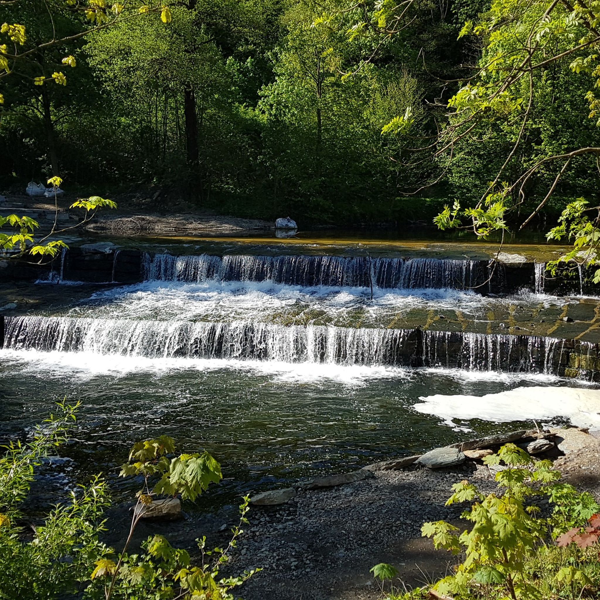
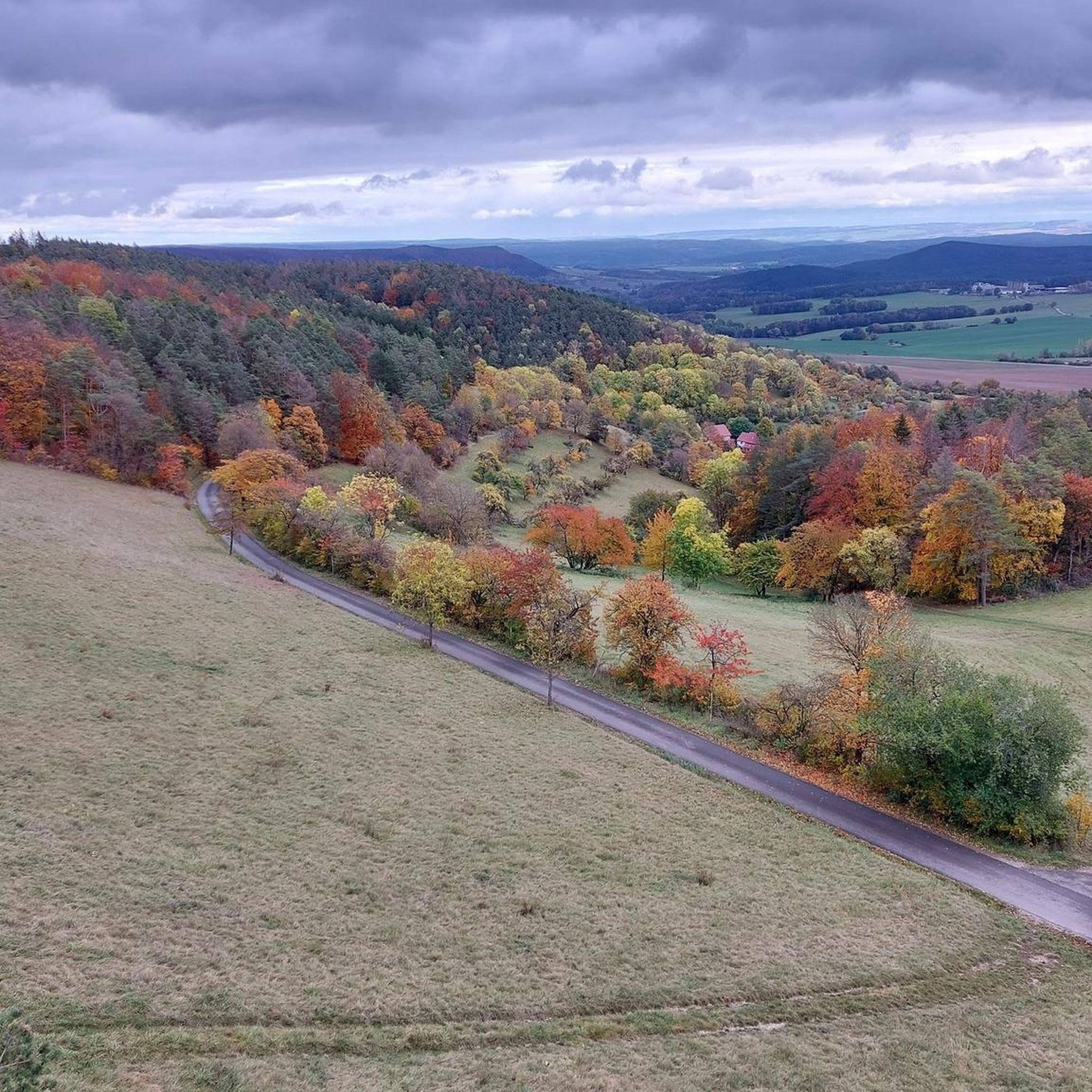
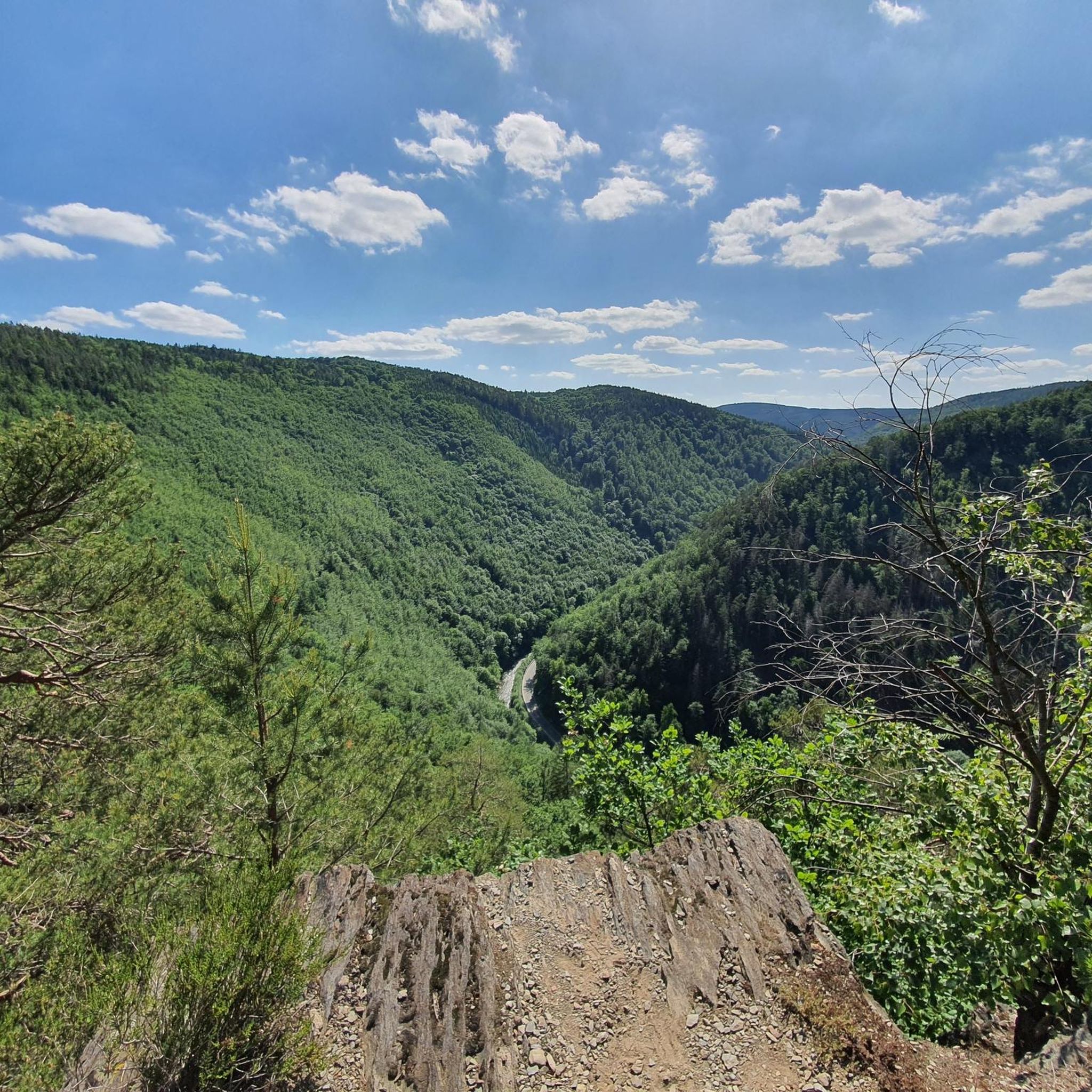
Hiking in Landkreis Saalfeld-Rudolstadt offers diverse landscapes, including the Saale River Valley, parts of the Thuringian Forest, and the Thuringian Slate Mountains. The region is characterized by picturesque river valleys, dense woodlands, and rugged geological formations. These features provide varied terrain for outdoor activities, from tranquil waterside paths to more challenging routes through low mountain ranges.
Best hiking trails in Landkreis Saalfeld-Rudolstadt
- The most popular hiking route is Circular hiking trail - To the whirlpools of the Schwarza, a…
Last updated: July 4, 2026
4.6
(276)
815
hikers
8.91km
02:32
190m
190m
Moderate hike. Good fitness required. Easily-accessible paths. Suitable for all skill levels.
4.8
(194)
569
hikers
3.06km
00:51
60m
50m
Easy hike. Great for any fitness level. Easily-accessible paths. Suitable for all skill levels.

Sign up for free
4.8
(146)
387
hikers
8.55km
02:36
280m
280m
Moderate hike. Good fitness required. Easily-accessible paths. Suitable for all skill levels.
4.7
(147)
454
hikers
13.8km
04:00
360m
360m
Moderate hike. Good fitness required. Easily-accessible paths. Suitable for all skill levels.
4.6
(124)
354
hikers
Easy hike. Great for any fitness level. Easily-accessible paths. Suitable for all skill levels.
4.6
(96)
274
hikers
7.09km
02:04
190m
190m
Moderate hike. Good fitness required. Mostly accessible paths. Sure-footedness required.
4.3
(25)
57
hikers
10.9km
03:24
410m
410m
Moderate hike. Good fitness required. Mostly accessible paths. Sure-footedness required.
4.0
(9)
34
hikers
4.96km
01:28
140m
140m
Easy hike. Great for any fitness level. Easily-accessible paths. Suitable for all skill levels.
4.7
(289)
803
hikers
Moderate hike. Good fitness required. Easily-accessible paths. Suitable for all skill levels.
4.6
(291)
896
hikers
Hard hike. Very good fitness required. Easily-accessible paths. Suitable for all skill levels.
Get access to more routes and recommendations from other explorers.
Sign up for free
Already have an account?
Our route recommendations are based on thousands of hikes, rides, and runs completed by other people on komoot.
Start today with a free account
Your next adventure awaits.
Login or Signup
Popular around Landkreis Saalfeld-Rudolstadt
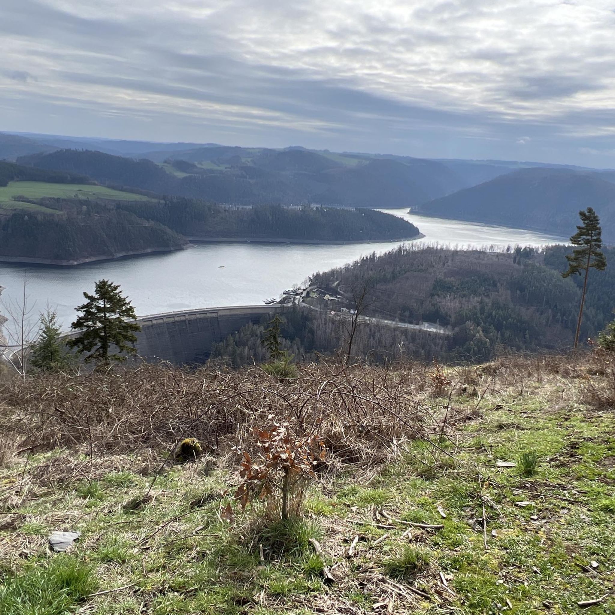
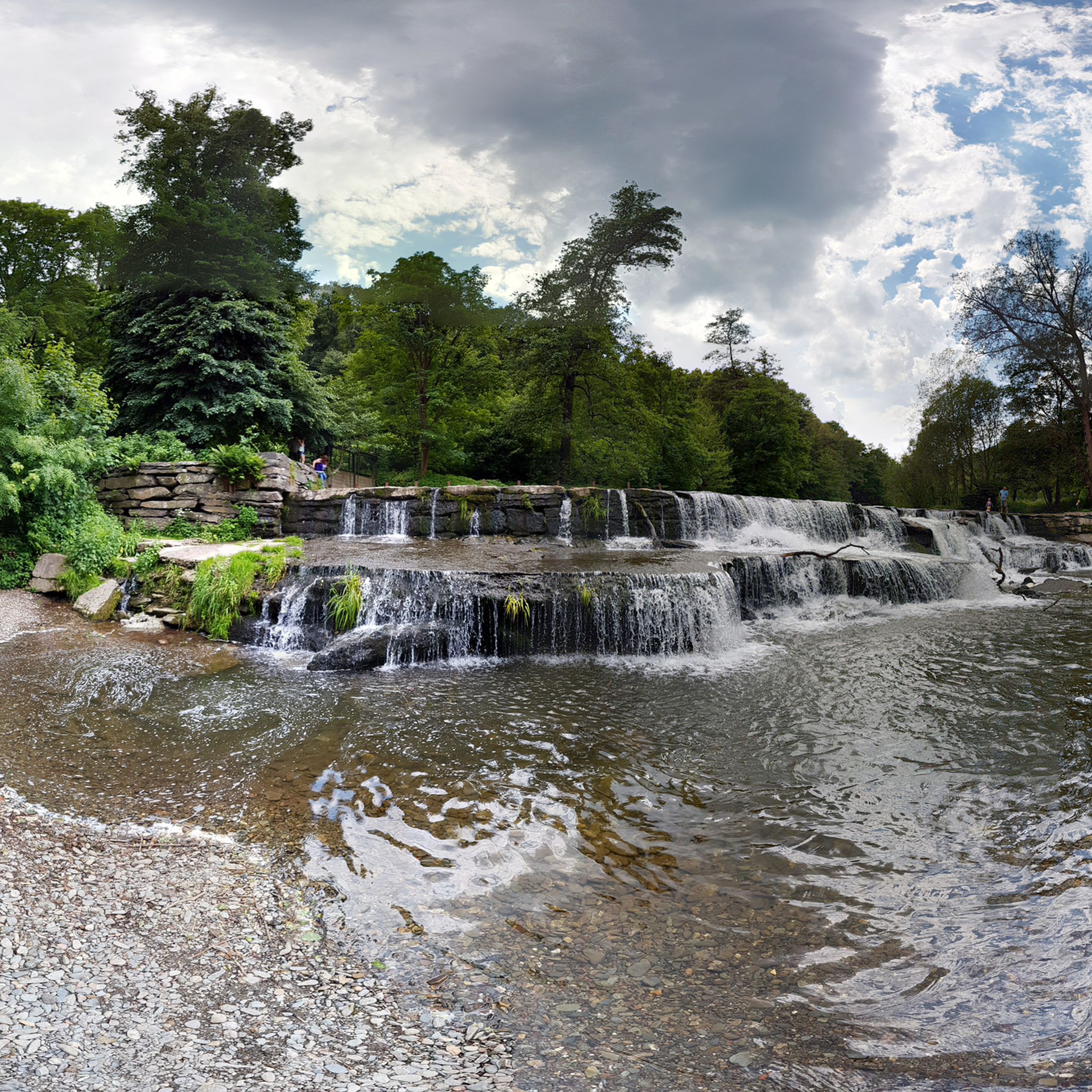
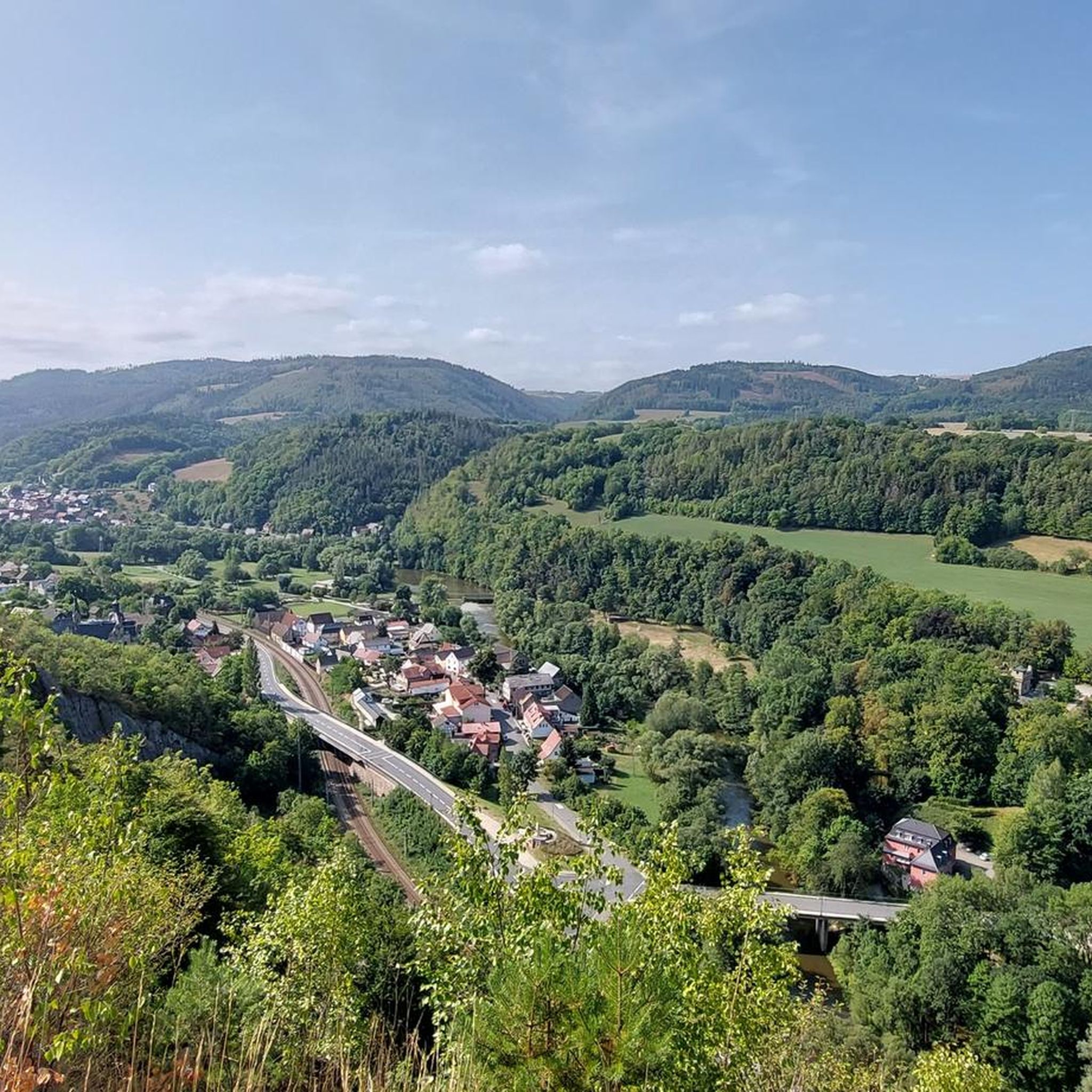
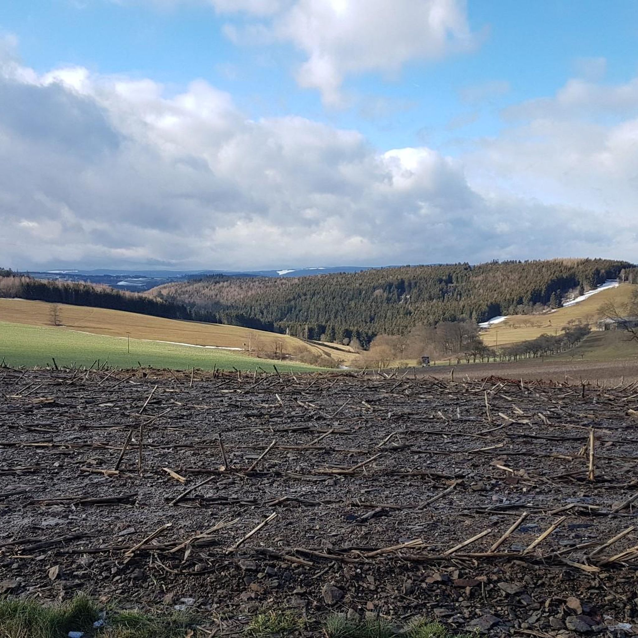
Other adventures in Landkreis Saalfeld-Rudolstadt


Tips from the Community

Really a calf-killer, one should preferably avoid having to dismount. Then you won't get going again :-D. I would also have gladly accepted a "lower gear" at this point.
1
0

Very beautiful view of the reservoir, worth a stop.
0
0

A great view
0
0

What a beautiful landscape!
1
0

Good cabin with a beautiful view.
9
1

Small shelter with a great view.
0
0
The view is great. New hut on the rocky ridge.
0
0
Frequently Asked Questions
How many hiking trails are available in Landkreis Saalfeld-Rudolstadt?
Landkreis Saalfeld-Rudolstadt offers a vast network of over 2,600 hiking trails. These routes cater to all levels, with approximately 1,200 easy, 1,200 moderate, and 150 difficult options, ensuring there's a suitable path for every hiker.
What are the main natural landscapes I can expect to see while hiking in the region?
The region boasts diverse natural landscapes, including the picturesque Saaletal (Saale River Valley), parts of the renowned Thuringian Forest, and the rugged Thuringian Slate Mountains. You'll find tranquil waterside paths, dense woodlands, and impressive geological formations, such as the steep-edged mountains bordering the Saale floodplain.
Are there any family-friendly hiking trails suitable for children?
Yes, Landkreis Saalfeld-Rudolstadt has several trails perfect for families. For instance, the On the trail of the fire salamander: children's trail in Leutenberg is an easy 5.3 km route, and the Children's adventure trail from Lichtenhain is another easy option at just under 5 km, designed to engage younger hikers.
Can I find circular hiking routes in Landkreis Saalfeld-Rudolstadt?
Absolutely. Many trails in the region are circular, offering convenient starting and ending points. A popular choice is the Circular hiking trail - To the whirlpools of the Schwarza, a moderate 8.9 km route exploring the impressive Schwarza Valley. Another option is the Circular trail around the Schiefersee - Lehesten, an easy 3.1 km path around the beautiful Schiefersee.
What are some notable attractions or viewpoints to discover along the trails?
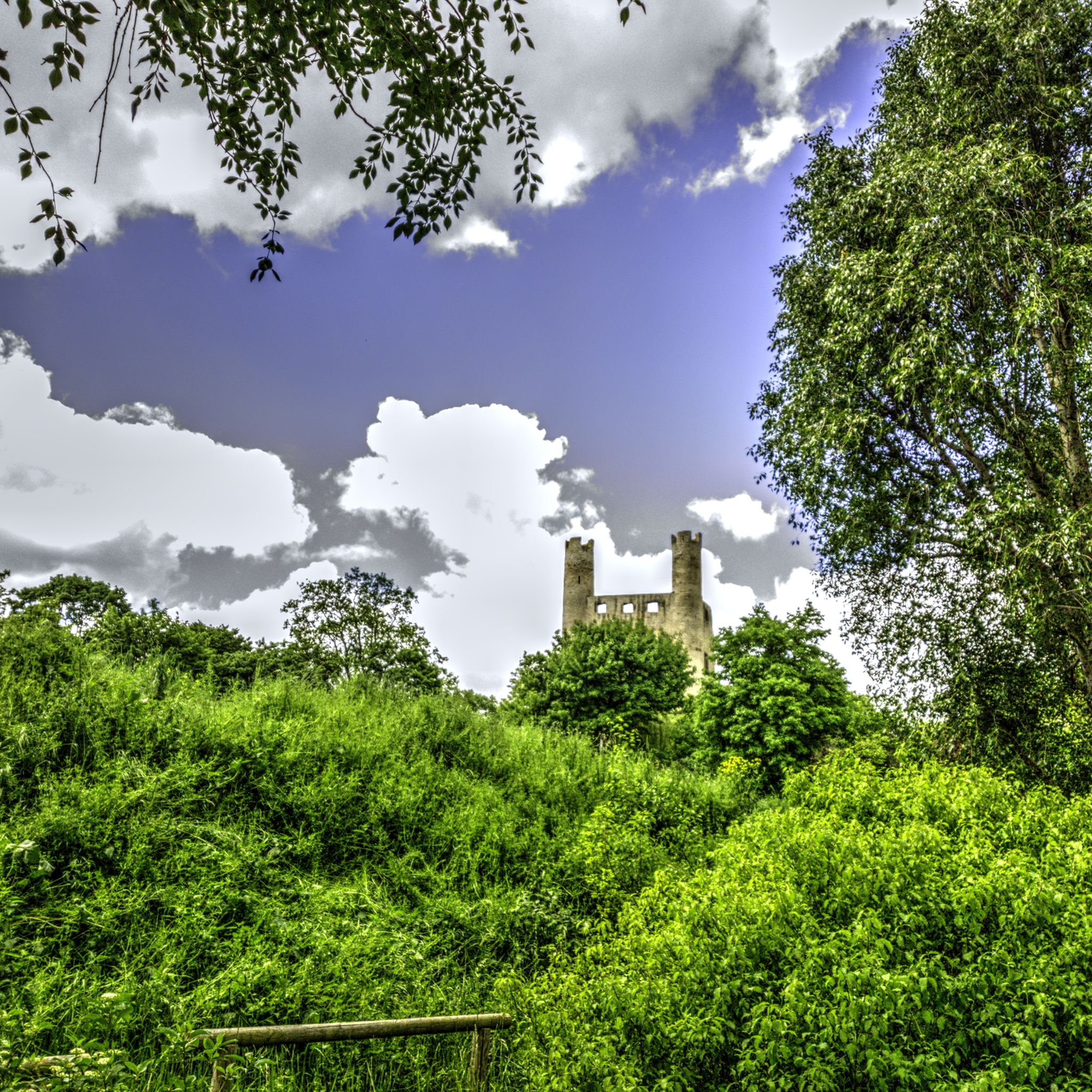
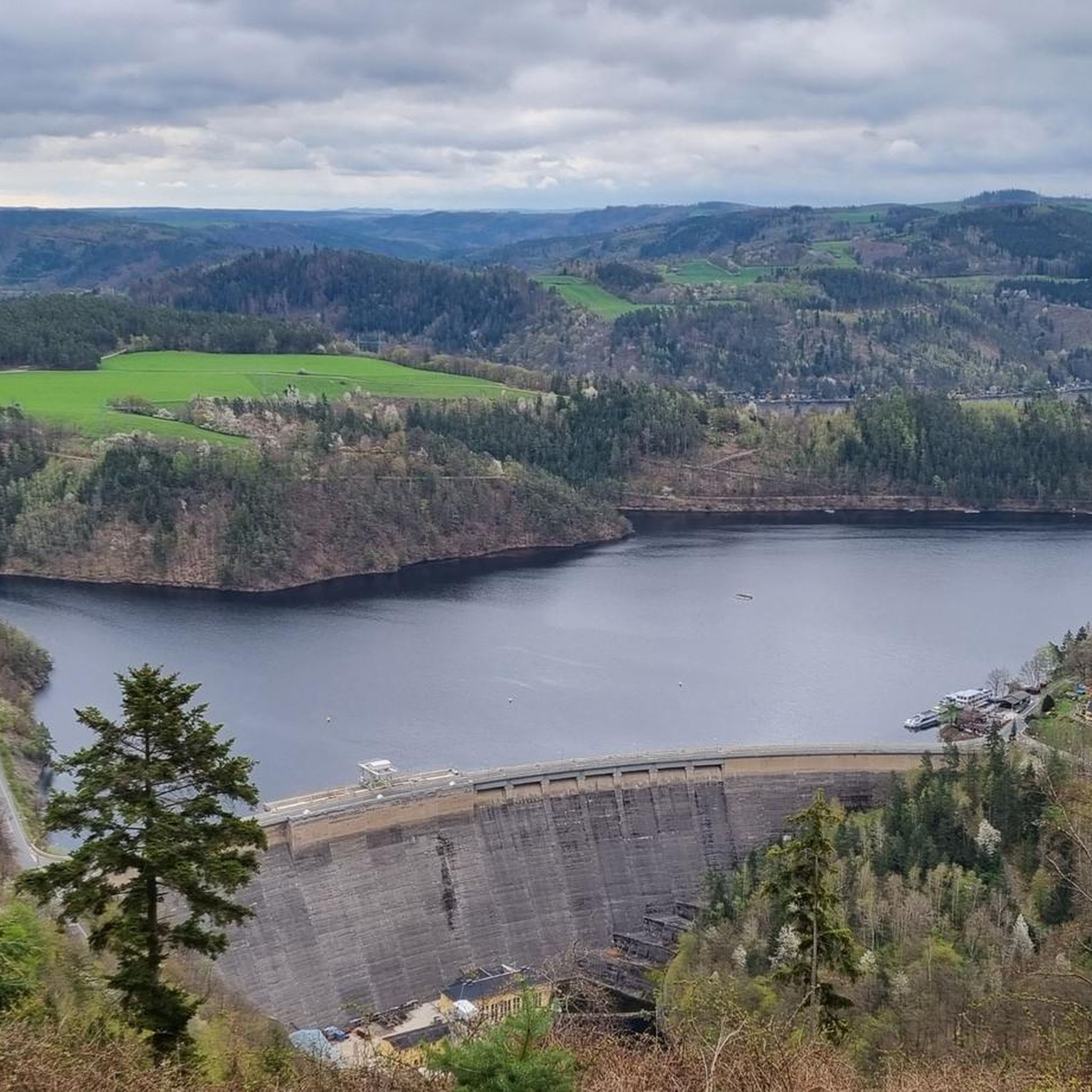
Hikers can explore several interesting attractions and viewpoints. The Meuselbacher Kuppe Observation Tower and Guesthouse offers magnificent panoramic views. Other notable spots include the Kulm Tower and the Greifenstein Castle. The region also features the fascinating Hohenwarte Dam, a significant landmark.
Are there any trails that explore the Saalfeld Fairy Grottoes?
Yes, the Saalfeld Fairy Grottoes are a major attraction, and there are hiking loops that incorporate them. These fascinating caves, once used for mining, offer a unique natural and historical experience. You can find trails like the 'Saalfeld Fairy Grottoes – Native Plant Educational Trail' that lead you through this area.
What do other hikers enjoy most about hiking in Landkreis Saalfeld-Rudolstadt?
The area is highly rated by the komoot community, with an average score of 4.6 stars from over 14,000 reviews. Hikers often praise the diverse landscapes, from tranquil river valleys to rugged slate mountains, and the well-maintained trails that cater to all fitness levels. The variety of natural and cultural highlights along the routes is also frequently mentioned.
Are there any trails around the Hohenwarte Reservoir (Thüringer Meer)?
The Hohenwarte Reservoir is a prominent feature, often referred to as the 'Thüringer Meer'. The Lakeside trail at Hohenwarte Reservoir – Drachenschwanz Lakeside Beach loop from Altenbeuthen is a popular moderate 11.4 km trail that provides breathtaking natural vistas around the lake and the impressive 75-meter high Hohenwarte Dam.
What kind of terrain can I expect on the trails in the Thuringian Slate Mountains?
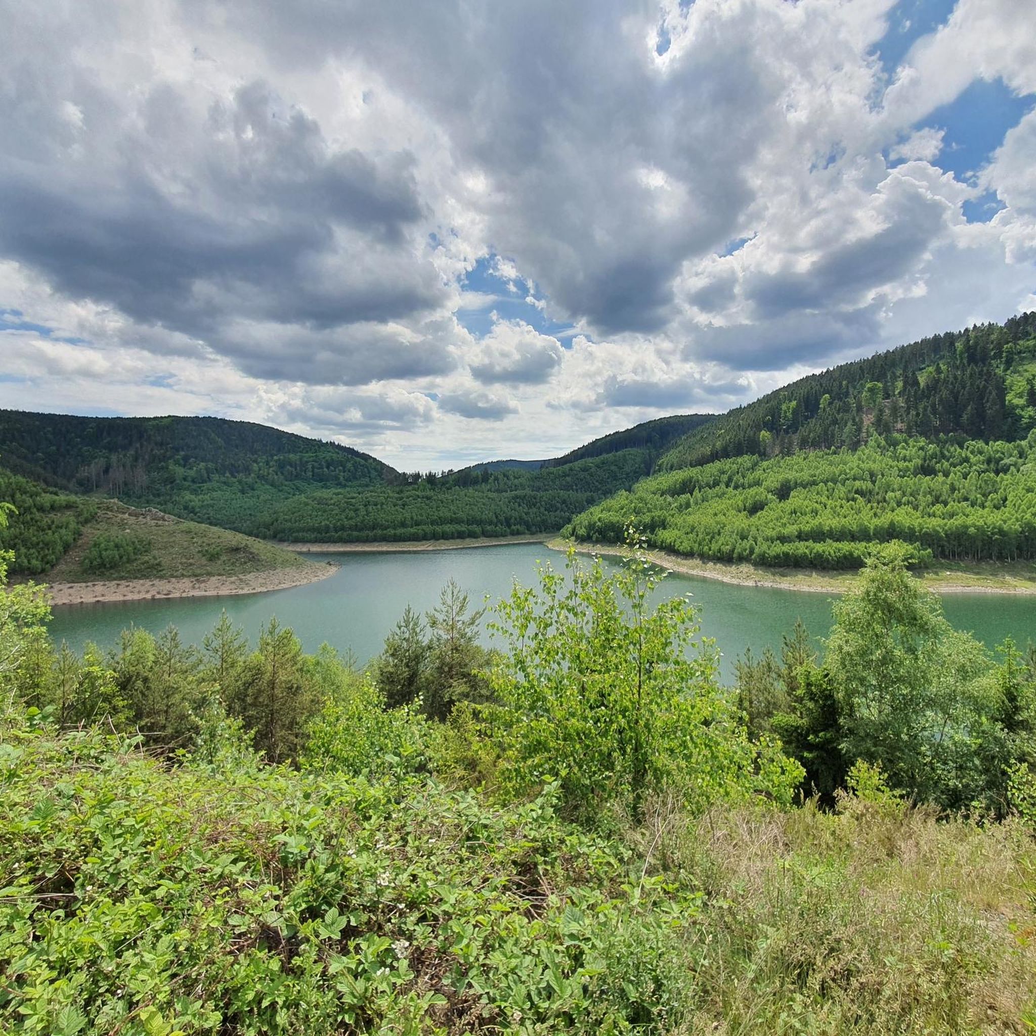
Hiking in the Thuringian Slate Mountains offers a rugged and scenic experience. You can expect trails with varying elevations, characterized by slate rock formations and dense forests. The region's geological features contribute to impressive views, such as those found on the Circular trail around the Schiefersee - Lehesten, which showcases the landscape shaped by these mountains.
Are there any longer, more challenging hikes in the region?
For those seeking a greater challenge, the region offers more demanding routes. An example is the View of the Leibis Dam – Kämpfs Ruh Viewpoint loop from Unterweißbach, a difficult 16.8 km trail with significant elevation changes, providing extensive views and a rewarding experience for experienced hikers.
What is the best time of year to go hiking in Landkreis Saalfeld-Rudolstadt?
The region is beautiful year-round, but spring, summer, and autumn are particularly popular for hiking. Spring brings blooming nature, summer offers warm weather for riverside walks, and autumn transforms the forests with vibrant colors. Even winter hiking is possible, with some routes offering serene snowy landscapes.
Most popular routes in Landkreis Saalfeld-Rudolstadt
Most popular attractions in Landkreis Saalfeld-Rudolstadt

Get inspired with the komoot mobile app


Didn’t find what you were looking for?
Check out more Hikes throughout Landkreis Saalfeld-Rudolstadt below and find the perfect route in your destination.
Explore more
Browse the best Hikes in other regions.
