The best waterfall hikes and walks in Landkreis Saalfeld-Rudolstadt
4.6
(14854)
50,194
hikers
20
hikes
Waterfall hiking trails in Landkreis Saalfeld-Rudolstadt traverse a diverse landscape, characterized by the transition between the serene Saale River Valley and the densely forested Thuringian Forest. The region features river valleys, forested hills, and significant natural features like the Hohenwarte Reservoir. Hikers can explore quiet woodlands and enjoy expansive views across varied terrain, often encountering gorges and rock formations.
Best waterfall hiking trails in Landkreis Saalfeld-Rudolstadt
- The most popular waterfall hiking route is View of the Schorte Valley – Dark…
Last updated: July 4, 2026
4.5
(8)
43
hikers
16.0km
05:00
520m
520m
Hard hike. Very good fitness required. Mostly accessible paths. Sure-footedness required.
4.8
(12)
45
hikers
10.5km
03:13
280m
280m
Moderate hike. Good fitness required. Mostly accessible paths. Sure-footedness required.

Sign up for free
5.0
(9)
23
hikers
4.12km
01:21
130m
120m
Moderate hike. Great for any fitness level. Mostly accessible paths. Sure-footedness required.
5.0
(6)
14
hikers
15.0km
04:41
430m
430m
Moderate hike. Good fitness required. Mostly accessible paths. Sure-footedness required.
4.5
(12)
29
hikers
9.44km
02:55
260m
260m
Moderate hike. Good fitness required. Mostly accessible paths. Sure-footedness required.
Get access to more routes and recommendations from other explorers.
Sign up for free
Already have an account?
Our route recommendations are based on thousands of hikes, rides, and runs completed by other people on komoot.
Start today with a free account
Your next adventure awaits.
Login or Signup
Popular around Landkreis Saalfeld-Rudolstadt
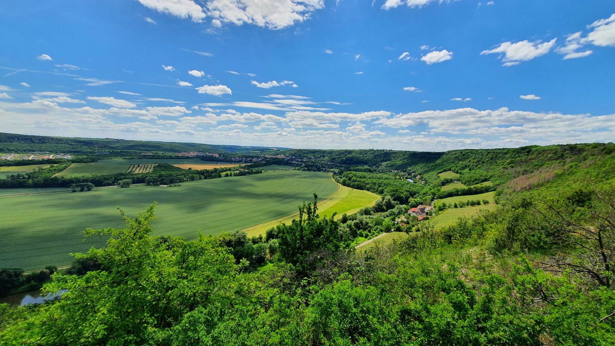
Feengrotten Kyffhäuserweg – Hike Germany's trail
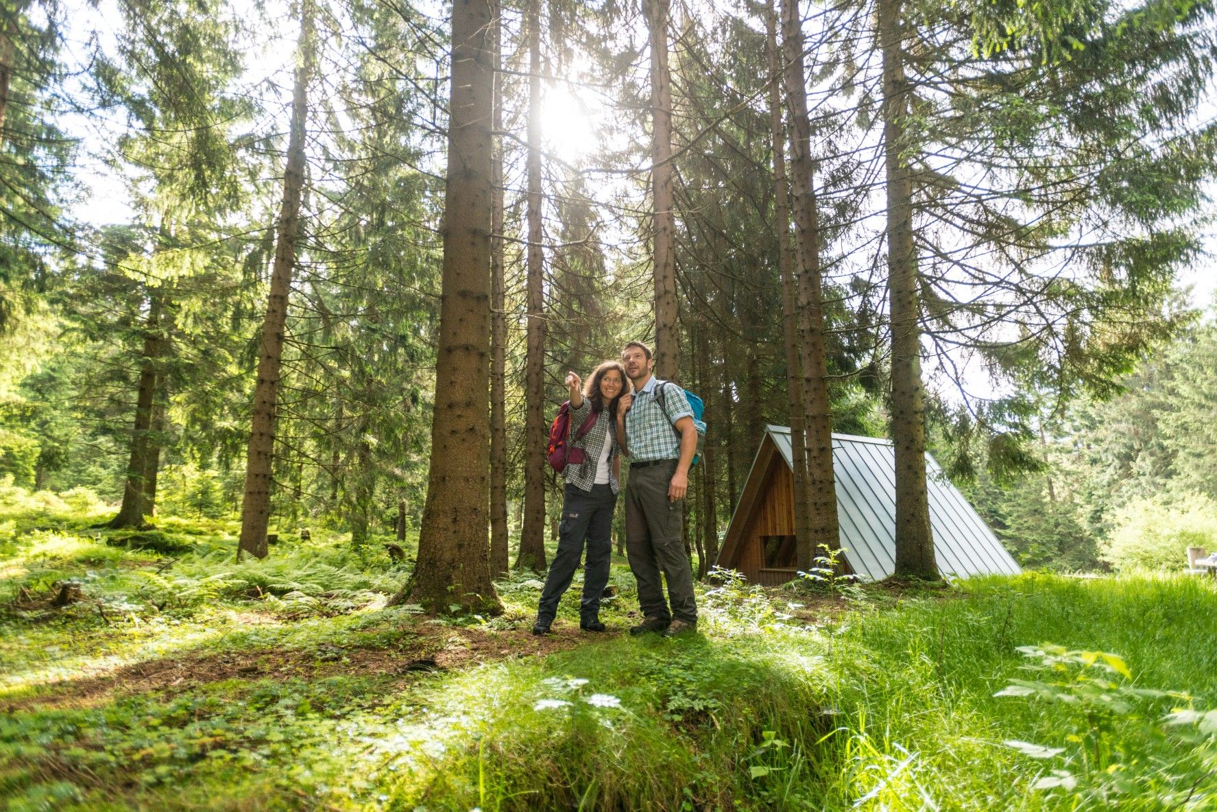
The Rennsteig — Thuringia's most beautiful hiking route
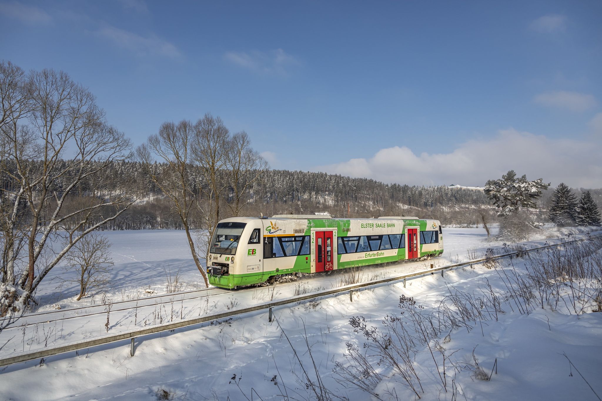
Discover Thuringia – winter hiking with the Erfurter Bahn

Forest, vastness and water – day trips in the Thuringian Forest
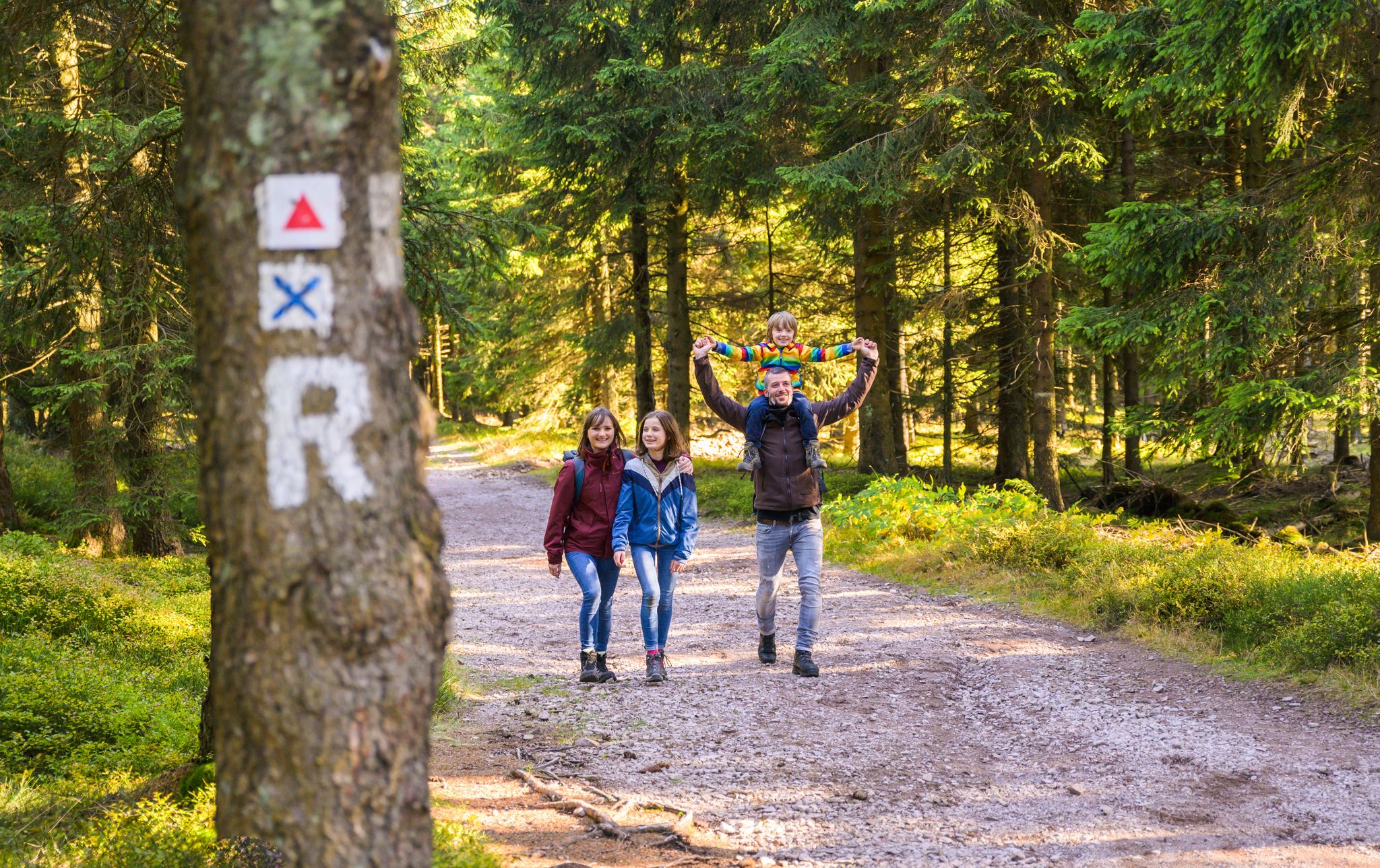
Play, nature and good fun – family hikes in the Thuringian Forest

#GoFurther – discover the views of Germany!
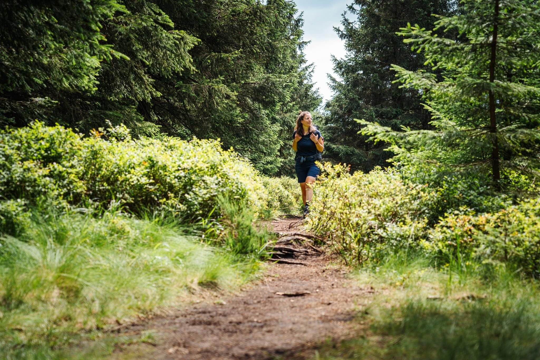
The Thuringian Forest calls – long-distance hiking on the Rennsteig
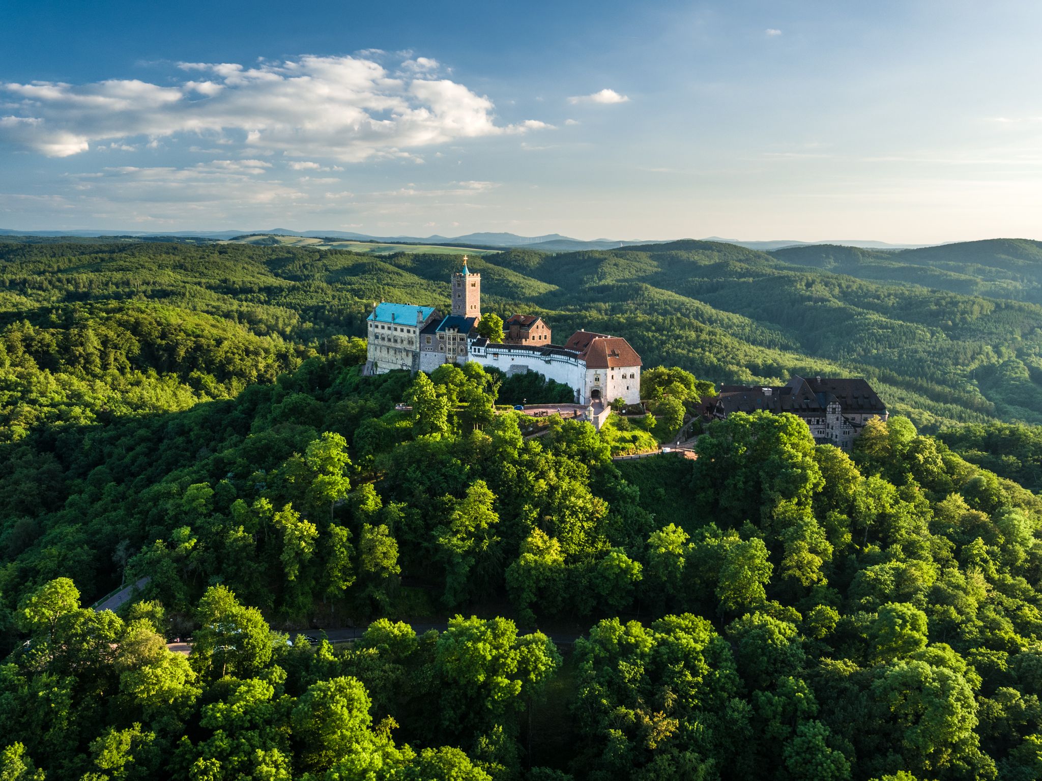
Thuringia CultureRoutes: hiking through history and nature
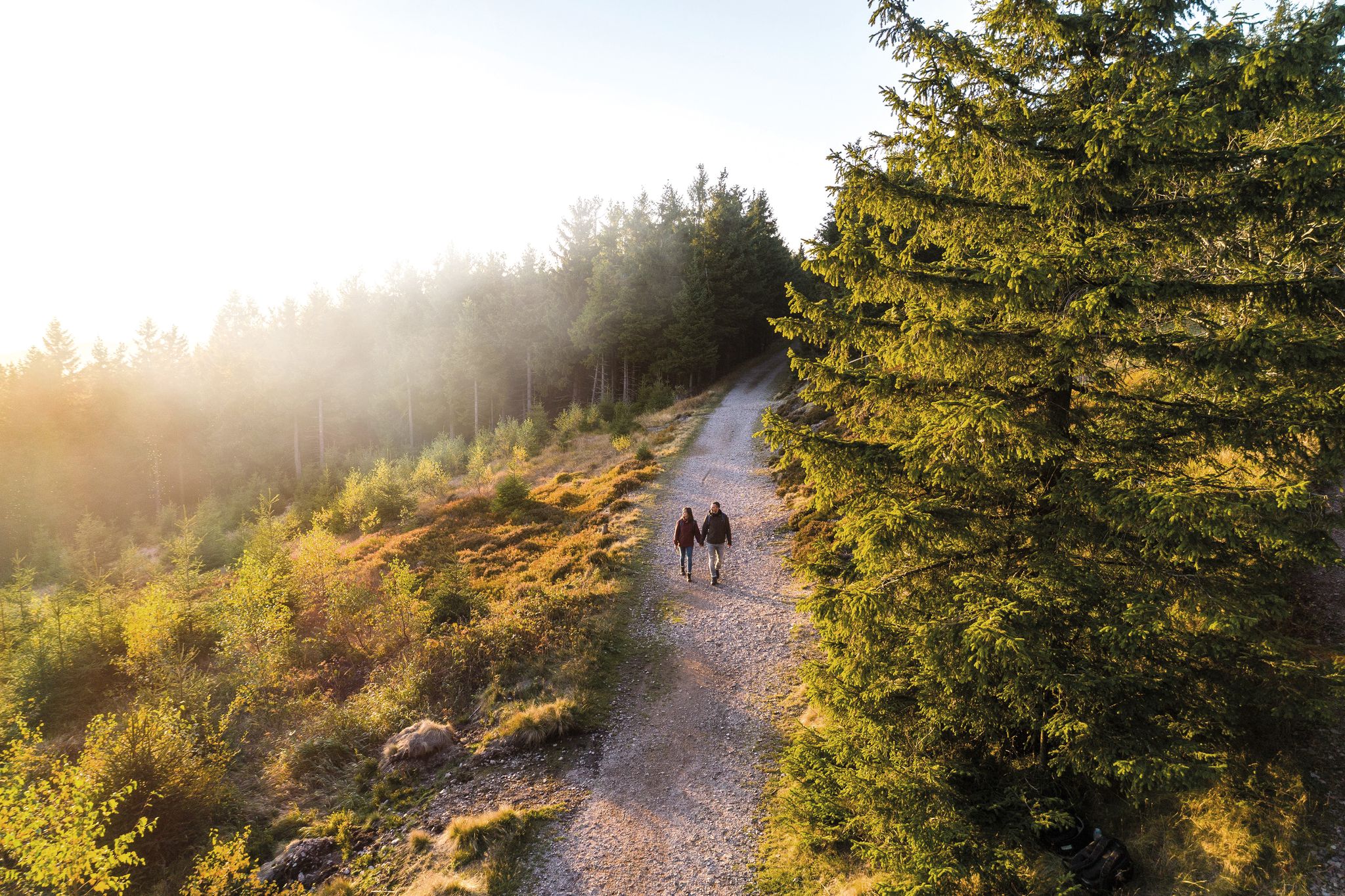
Outdoor time – hikes to help you unwind in Thuringia
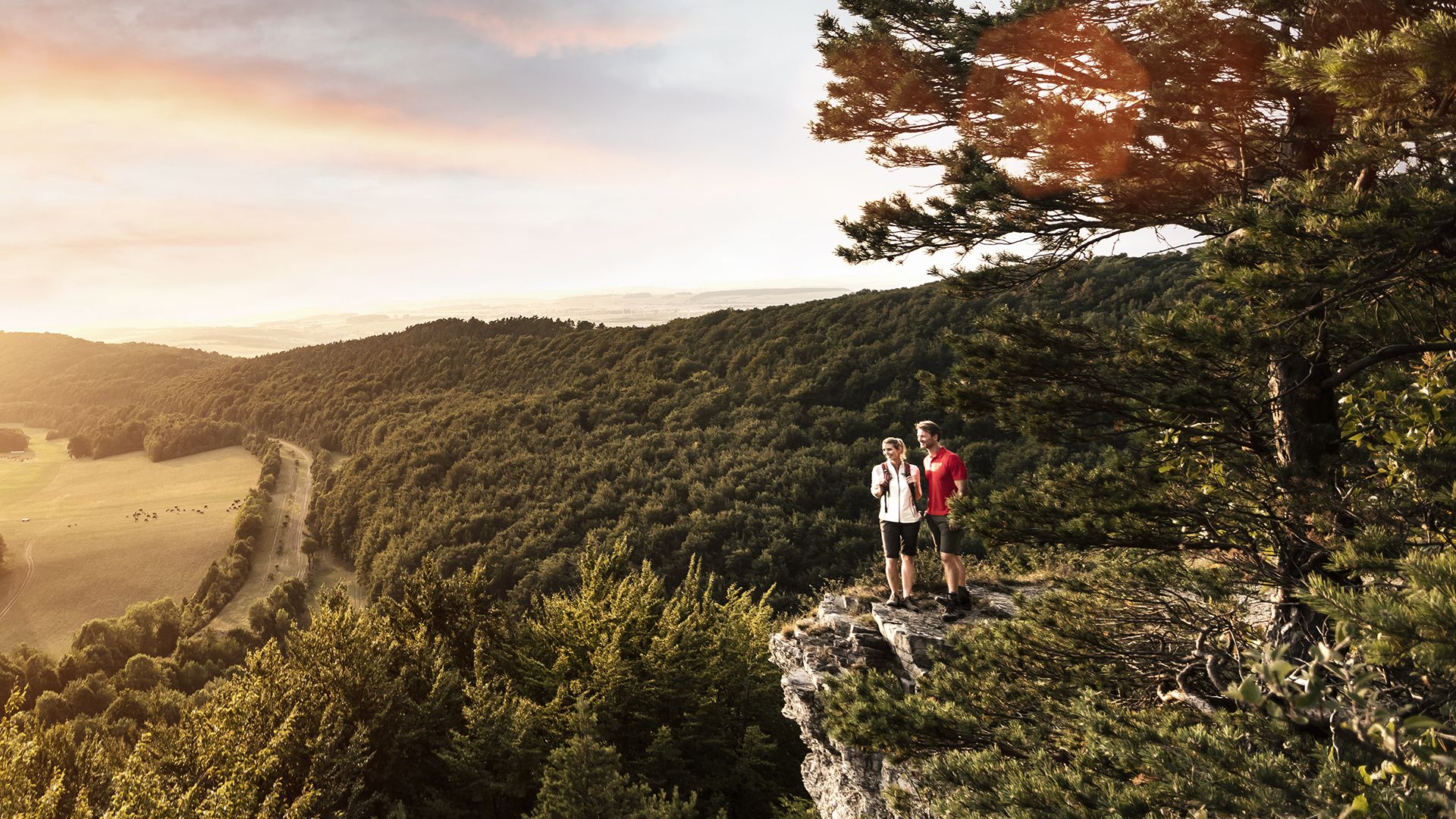
Spend time outdoors – active hikes in Germany’s Thuringia
Other adventures in Landkreis Saalfeld-Rudolstadt


Tips from the Community

Magnificent valley with a meadow blooming beautifully in June.
0
0

The bottleneck in the "Gießüb'ler Switzerland"
0
0


Climb past the waterfall and Schröderfelsen
0
0
When do you ever get to see how a reactor is built?
0
0
happily splashing with refreshing water
0
0

Frequently Asked Questions
How many waterfall hiking trails are available in Landkreis Saalfeld-Rudolstadt?
The region offers a selection of 20 dedicated waterfall hiking trails. These routes traverse diverse landscapes, from the serene Saaletal to the densely forested Thuringian Forest, ensuring a varied experience for hikers.
What kind of terrain can I expect on waterfall hikes in Landkreis Saalfeld-Rudolstadt?
You can expect a mix of river valleys and forested hills, characteristic of the transition between the Saaletal and the Thuringian Forest. Trails often feature quiet woodlands, expansive views, and significant natural features like the Hohenwarte-Stausee, offering varied terrain for exploration.
Are there easy waterfall hikes suitable for beginners in the region?
While many waterfall trails in Landkreis Saalfeld-Rudolstadt are rated moderate to difficult, there are options that cater to varying fitness levels. For example, the View of the Schorte Valley – Dark Hole loop from ehem. Hp. Grenzhammer is a moderate trail that offers beautiful views without extreme difficulty.
What is the typical length and duration of waterfall hikes in Landkreis Saalfeld-Rudolstadt?
Waterfall hikes in the region vary in length and duration. Moderate trails like the Dachsbach Waterfall – Dachsbach Pulpit loop from Heubach are around 11 km and can take about 3.5 hours. Longer, more challenging routes, such as the Knöpfelstaler Pond – Helms Waterfall loop from ehem. Hp. Grenzhammer, can extend to over 23 km and require more than 6 hours to complete.
Are there circular waterfall routes available?
Yes, many waterfall trails in Landkreis Saalfeld-Rudolstadt are designed as circular routes, allowing you to start and end at the same point. Examples include the View of the Schorte Valley – Dark Hole loop from ehem. Hp. Grenzhammer and the Langertfelsen – Fehrenbacher Grund loop from Gießübel, providing convenient exploration.
What natural landmarks or viewpoints can I discover near waterfall trails?
Beyond the waterfalls themselves, you can explore impressive natural features. The Schwarza Valley is home to the notable Schwarza Waterfall. Additionally, viewpoints like the Kulm Tower offer spectacular panoramic views over the Thuringian Forest and surrounding landscapes.
Are there any cultural or historical sights to explore along these routes?
Yes, the region is rich in cultural and historical landmarks. You might encounter sites like the Lehesten Slate Quarry Industrial Heritage Site, showcasing the area's mining history. While not directly on every waterfall trail, these attractions are part of the broader hiking experience in Landkreis Saalfeld-Rudolstadt.
When is the best time of year to experience the waterfalls in Landkreis Saalfeld-Rudolstadt?
The waterfalls are particularly impressive during spring after snowmelt or following periods of heavy rain, when water levels are high. However, the forested trails offer a beautiful experience throughout the warmer months, with lush greenery in summer and vibrant colors in autumn.
Can I bring my dog on waterfall hiking trails in this region?
Many trails in Landkreis Saalfeld-Rudolstadt are dog-friendly, allowing you to enjoy the natural beauty with your canine companion. It's always advisable to keep dogs on a leash, especially in nature reserves or near wildlife, and to check specific trail regulations if available.
What do other hikers say about the waterfall trails in Landkreis Saalfeld-Rudolstadt?
The trails in Landkreis Saalfeld-Rudolstadt are highly rated by the komoot community, with an average score of 4.7 stars from over 13,000 reviews. Hikers often praise the diverse landscapes, well-maintained paths, and the opportunity to discover hidden natural gems like the waterfalls and rock formations.
Are there options for public transport to reach waterfall hiking trails?
While some trailheads might be accessible by local bus services, many of the more secluded waterfall trails are best reached by car. It's recommended to check local public transport schedules and routes in advance, especially for specific starting points.
What facilities like cafes or accommodation are available near waterfall hiking trails?
The region offers various facilities, from small cafes and guesthouses in nearby villages to larger accommodations in towns like Saalfeld and Rudolstadt. You might also find traditional huts, such as the Herb hut (Kräuterhütte) or Kurfürstenstein Hut, providing rest stops or refreshments along some routes.
Most popular routes in Landkreis Saalfeld-Rudolstadt
Most popular attractions in Landkreis Saalfeld-Rudolstadt

Get inspired with the komoot mobile app


Explore more
Browse the best Hikes in other regions.
