Easy hikes and walks in Landkreis Saalfeld-Rudolstadt
4.6
(14854)
50,194
hikers
2,602
hikes
Easy hiking trails in Landkreis Saalfeld-Rudolstadt traverse a landscape characterized by forested hills, river valleys, and tranquil lakes. The region, part of the Thuringian Slate Mountains, offers varied terrain with gentle ascents suitable for all ages. These paths often follow the Saale River or loop around scenic bodies of water, providing accessible outdoor experiences.
Best easy hiking trails in Landkreis Saalfeld-Rudolstadt
- The most popular easy hiking route is Circular trail around the Schiefersee - Lehesten, a 1.9 miles (3.1…
Last updated: July 4, 2026
4.8
(192)
571
hikers
3.06km
00:51
60m
50m
Easy hike. Great for any fitness level. Easily-accessible paths. Suitable for all skill levels.
4.6
(124)
354
hikers
Easy hike. Great for any fitness level. Easily-accessible paths. Suitable for all skill levels.

Sign up for free
4.0
(9)
34
hikers
4.96km
01:28
140m
140m
Easy hike. Great for any fitness level. Easily-accessible paths. Suitable for all skill levels.
4.7
(121)
392
hikers
6.06km
01:41
110m
110m
Easy hike. Great for any fitness level. Easily-accessible paths. Suitable for all skill levels.
4.7
(54)
193
hikers
5.72km
01:41
170m
170m
Easy hike. Great for any fitness level. Easily-accessible paths. Suitable for all skill levels.
4.6
(73)
228
hikers
6.06km
01:45
150m
150m
Easy hike. Great for any fitness level. Easily-accessible paths. Suitable for all skill levels.
4.8
(102)
308
hikers
5.46km
01:32
100m
100m
Easy hike. Great for any fitness level. Easily-accessible paths. Suitable for all skill levels.
4.6
(53)
162
hikers
6.05km
01:45
160m
150m
Easy hike. Great for any fitness level. Easily-accessible paths. Suitable for all skill levels.
4.3
(70)
191
hikers
5.06km
01:38
220m
220m
Easy hike. Great for any fitness level. Easily-accessible paths. Suitable for all skill levels.
4.9
(14)
59
hikers
Easy hike. Great for any fitness level. Easily-accessible paths. Suitable for all skill levels.
Get access to more routes and recommendations from other explorers.
Sign up for free
Already have an account?
Our route recommendations are based on thousands of hikes, rides, and runs completed by other people on komoot.
Start today with a free account
Your next adventure awaits.
Login or Signup
Popular around Landkreis Saalfeld-Rudolstadt

Easy hikes around Rudolstadt
Easy hikes around Saalfeld
Easy hikes around Katzhütte
Easy hikes around Saalfeld/Saale

Easy hikes around Unterwellenborn
Easy hikes around Bad Blankenburg
Easy hikes around Uhlstädt-Kirchhasel

Easy hikes around Leutenberg
Easy hikes around Schwarzatal
Easy hikes around Gräfenthal
Other adventures in Landkreis Saalfeld-Rudolstadt


Tips from the Community

The star gate takes you to other planets. With the right shoes, you'll be at the witch Baba Yaga's hut in no time.
0
0
There is Saalfeld herbal lemonade and Saalfeld Radler. Nice how well-kept the main street is in the large village. 🙃
0
0

In the middle of the most welcoming forest, slightly hidden next to the path, is the covered resting place and tour stamp point 415.
1
0
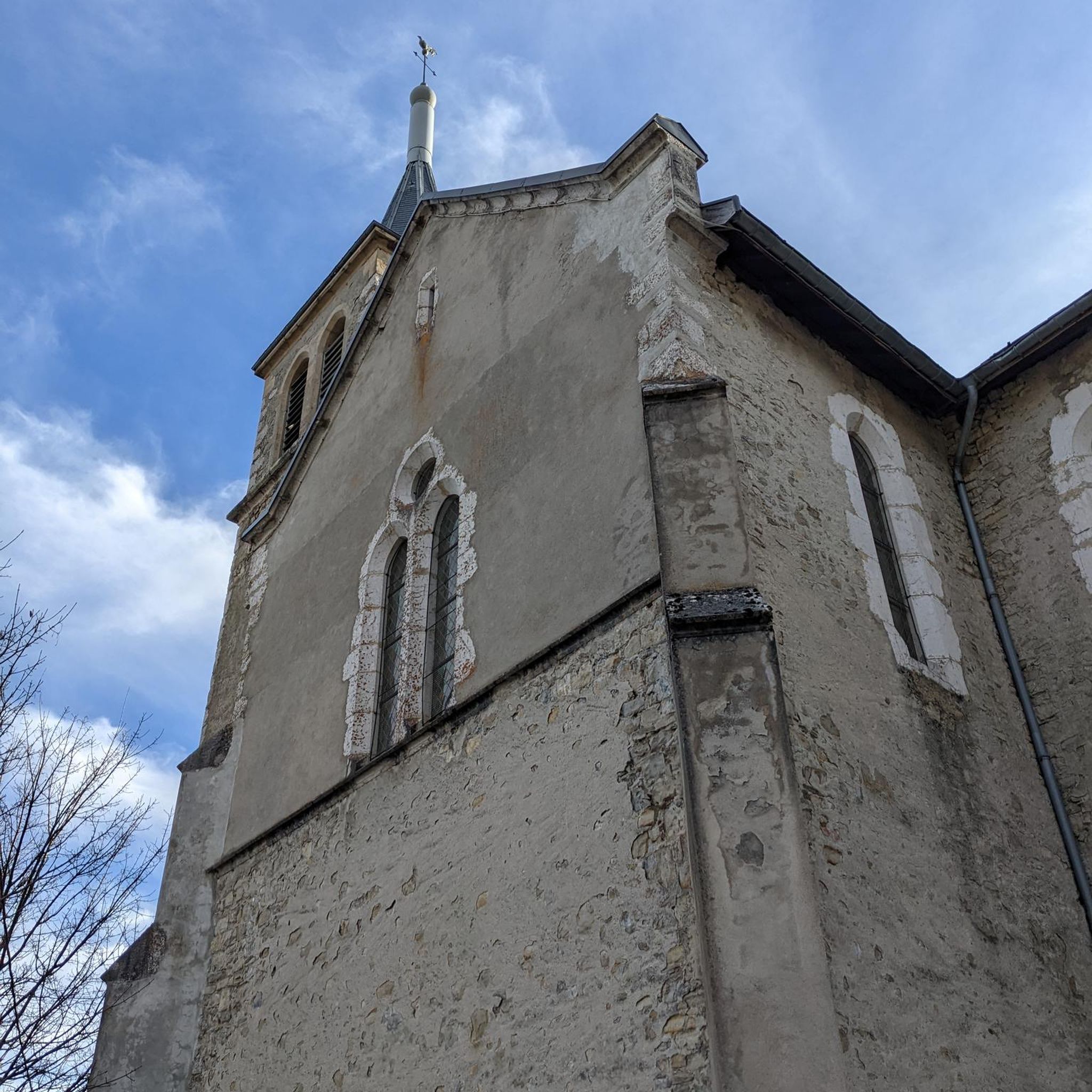
Great old church, unfortunately closed. A tiny cemetery around it.
0
0
A bit hidden behind bushes is a nice covered resting place, incl. stamp 417. Collecting stamps is great fun!
0
0
Very beautiful fountain, ideal for refreshing and a bench for a rest is also available. The Touringen stamp 416 can also be found here.
0
0

Sure-footedness is highly recommended here 🥾🧭
0
0
Frequently Asked Questions
How many easy hiking trails are available in Landkreis Saalfeld-Rudolstadt?
Landkreis Saalfeld-Rudolstadt offers a wide selection of easy hiking trails, with over 1,200 routes suitable for all ages and fitness levels. These paths often feature gentle ascents through forested hills, river valleys, and around tranquil lakes.
Are there family-friendly easy hikes in the region?
Yes, the region is well-suited for families. Many easy trails are designed with children in mind, such as On the trail of the fire salamander: children's trail in Leutenberg, which leads through natural forest environments, and the Children's adventure trail from Lichtenhain, offering varied landscapes for exploration.
What kind of natural scenery can I expect on easy hikes in Landkreis Saalfeld-Rudolstadt?
Easy hikes in Landkreis Saalfeld-Rudolstadt showcase the diverse natural beauty of the Thuringian Slate Mountains. You'll encounter forested hills, serene river valleys, and tranquil lakes. Many paths follow the Saale River or loop around scenic bodies of water like the Schiefersee.
Are there circular easy walks available?
Yes, many easy trails in the region are circular, providing convenient starting and ending points. A popular option is the Circular trail around the Schiefersee - Lehesten, offering a pleasant loop around a lake. Other circular routes include those around the Hohenwarte Dam and various village loops.
What are some interesting landmarks or attractions to see on easy hikes?
You can combine easy hikes with visits to historical sites and viewpoints. Consider routes that pass by View of Rudolstadt and Heidecksburg Palace, or explore the area around Lauenstein Castle. The region also features various huts and shelters, like the Herb hut (Kräuterhütte), which can be found along some trails.
What do other hikers say about the easy trails in Landkreis Saalfeld-Rudolstadt?
The easy trails in Landkreis Saalfeld-Rudolstadt are highly regarded by the komoot community, holding an average rating of 4.6 stars from over 14,000 reviews. Hikers often praise the well-maintained paths, the peaceful natural surroundings, and the accessibility for various age groups.
Are there easy hikes that offer views of the Saale River or local dams?
Absolutely. The Saale River is a prominent feature of the landscape. You can enjoy views of the river on routes like the Volkstedt Weir – View of the Saale River loop from Rudolstadt. For dam views, the Saalesteg Pedestrian Bridge – Hohenwarte Dam loop from Hohenwarte offers scenic perspectives of the Hohenwarte Dam and Reservoir.
What is the typical duration for an easy hike in this region?
Easy hikes in Landkreis Saalfeld-Rudolstadt vary in length, but many can be completed within 1 to 2 hours. For example, the Circular trail around the Schiefersee - Lehesten takes about 51 minutes, while longer options like the Stargate Viewpoint Knobelsdorf – Knobelsdorf Village and Church loop from Lositz might take around 2 hours.
Are there any easy trails that lead to viewpoints?
Yes, several easy trails offer rewarding viewpoints. The View of Heidecksburg – Schillerhöhe Memorial loop from Rudolstadt provides excellent vistas. Another option is the Stargate Viewpoint Knobelsdorf – Knobelsdorf Village and Church loop from Lositz, which includes a notable viewpoint.
Can I find easy hikes that explore local villages or churches?
Certainly. Some easy routes integrate cultural elements by passing through charming villages or near historic churches. The Church Oberhasel loop from Oberhasel is an example of a trail that allows you to explore the local area and its architecture.
Most popular routes in Landkreis Saalfeld-Rudolstadt
Most popular attractions in Landkreis Saalfeld-Rudolstadt

Get inspired with the komoot mobile app


Didn’t find what you were looking for?
Check out more Hikes throughout Landkreis Saalfeld-Rudolstadt below and find the perfect route in your destination.
Explore more
Browse the best Hikes in other regions.
