The best walks and hikes in Cumbre Vieja
4.3
(16932)
64,655
hikers
135
hikes
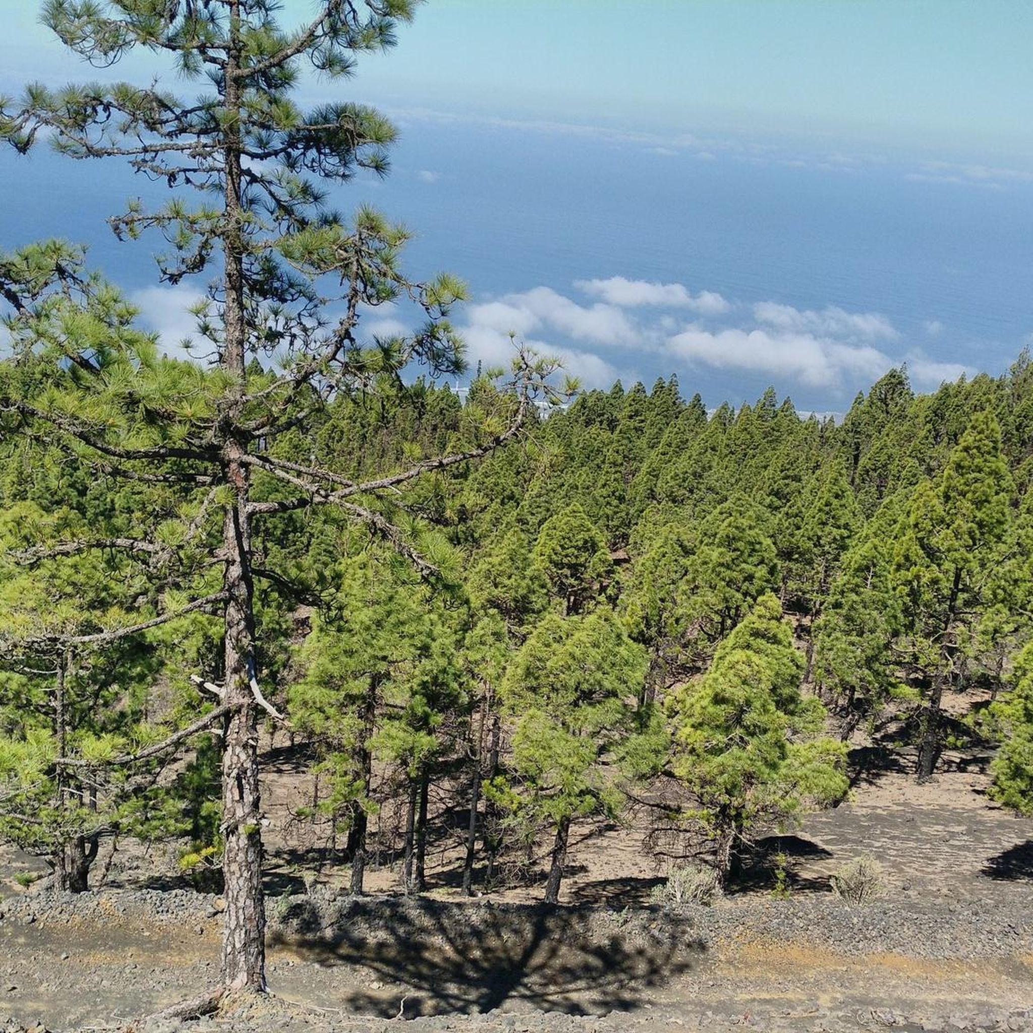
Hiking in Cumbre Vieja offers diverse trails across a dramatic volcanic landscape on La Palma. The region is characterized by an abundance of volcanic cones, craters, and ancient lava flows, shaped by millions of years of geological activity. Contrasting with the dark volcanic earth, vibrant Canary pine forests provide striking visual elements. This elongated volcanic ridge forms the spine of southern La Palma, offering varied terrain for outdoor exploration.
Best hiking trails in Cumbre Vieja
- The most popular hiking route…
Last updated: July 7, 2026
4.7
(355)
1,159
hikers
Moderate hike. Good fitness required. Mostly accessible paths. Sure-footedness required.
4.9
(157)
891
hikers
5.19km
01:34
180m
170m
Easy hike. Great for any fitness level. Easily-accessible paths. Suitable for all skill levels.

Sign up for free
4.8
(253)
1,000
hikers
Moderate hike. Good fitness required. Mostly accessible paths. Sure-footedness required.
4.5
(208)
638
hikers
7.11km
02:42
450m
450m
Hike the Barranco de las Palmas y Montaña Marcos circular trail from Jedey, a moderate 4.4-mile route through a gorge and volcanic crater.
4.6
(144)
451
hikers
Moderate hike. Good fitness required. Easily-accessible paths. Suitable for all skill levels.
Get access to more routes and recommendations from other explorers.
Sign up for free
Already have an account?
Our route recommendations are based on thousands of hikes, rides, and runs completed by other people on komoot.
Start today with a free account
Your next adventure awaits.
Login or Signup
Popular around Cumbre Vieja
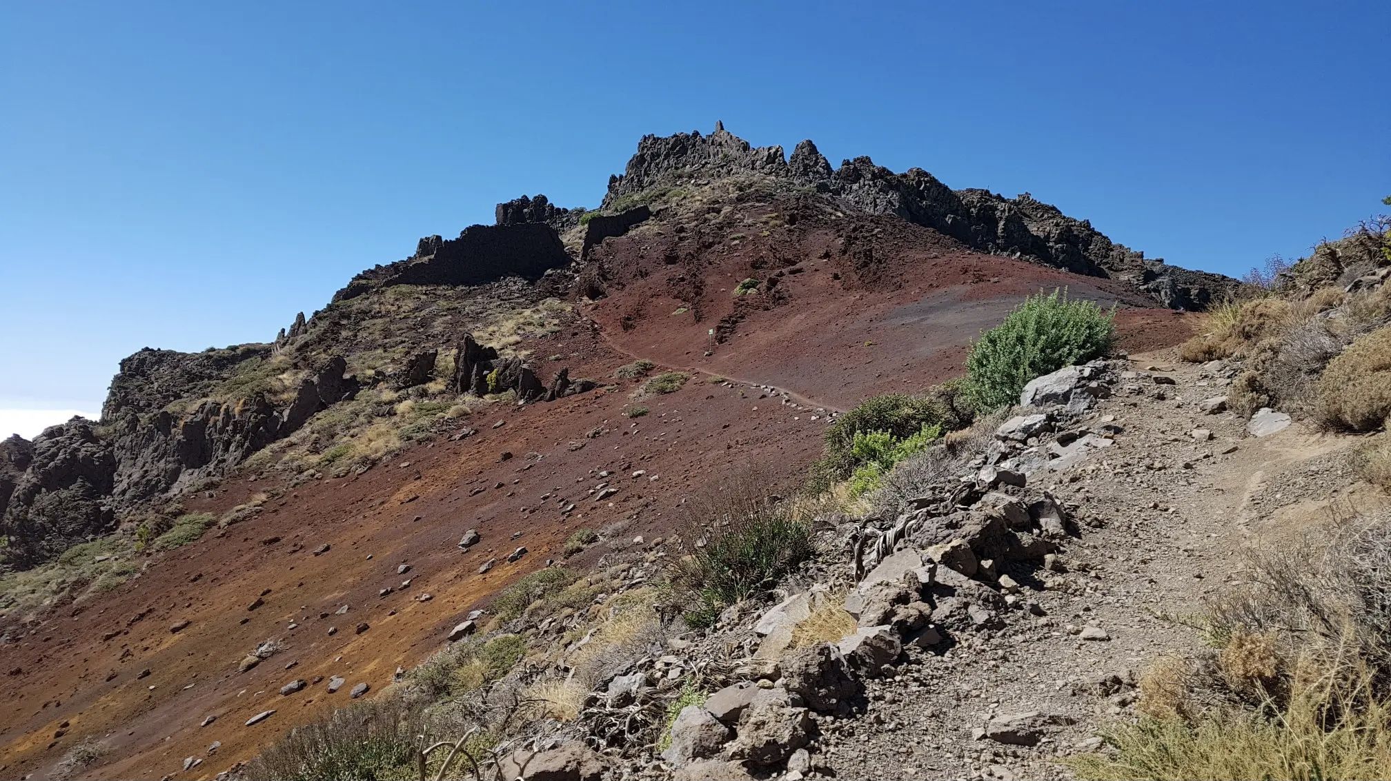
GR 131 El Bastón – La Palma in all its splendour
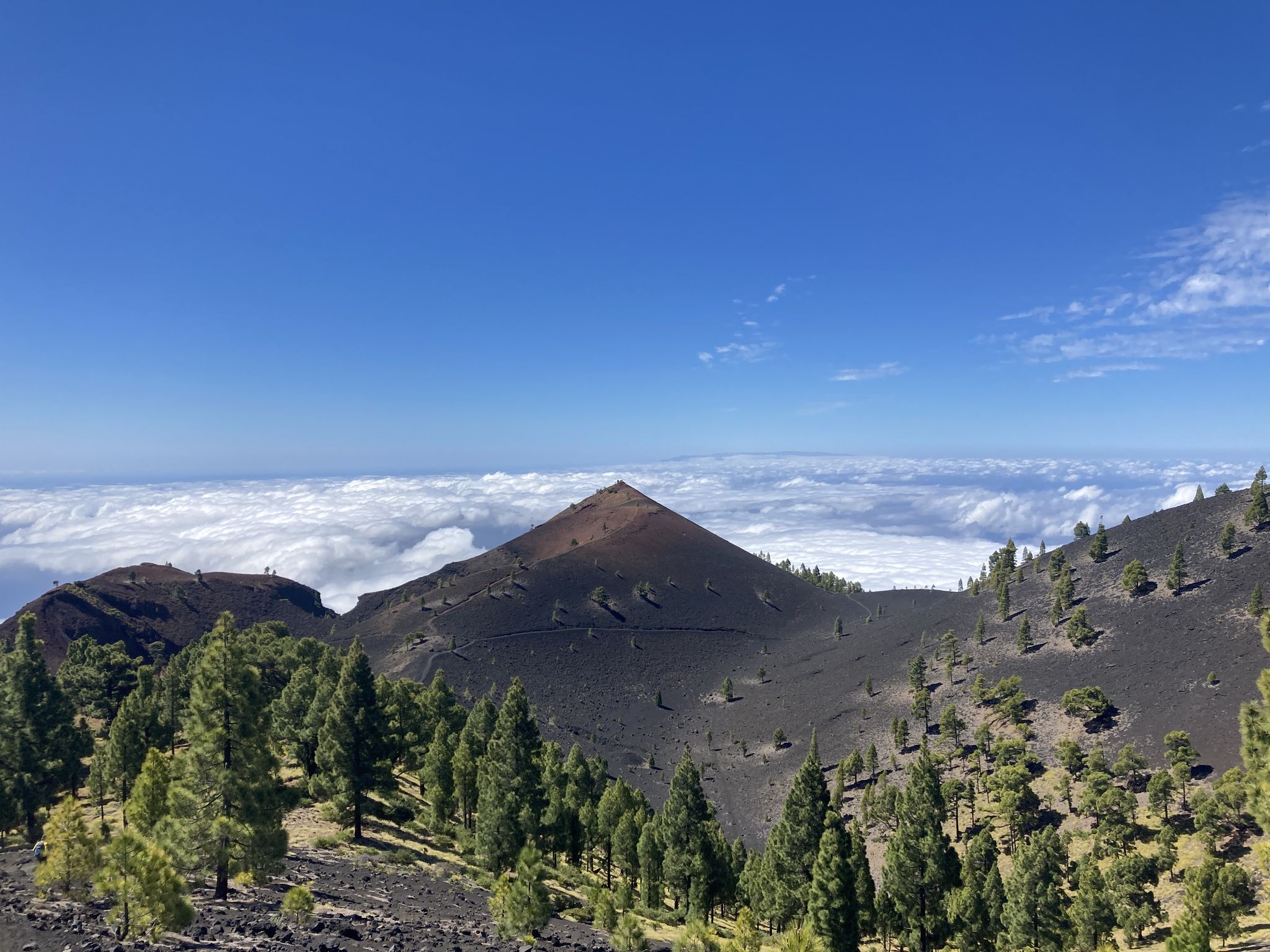
Transvulcania - traverse la Palma in the Canary Islands on the GR 131
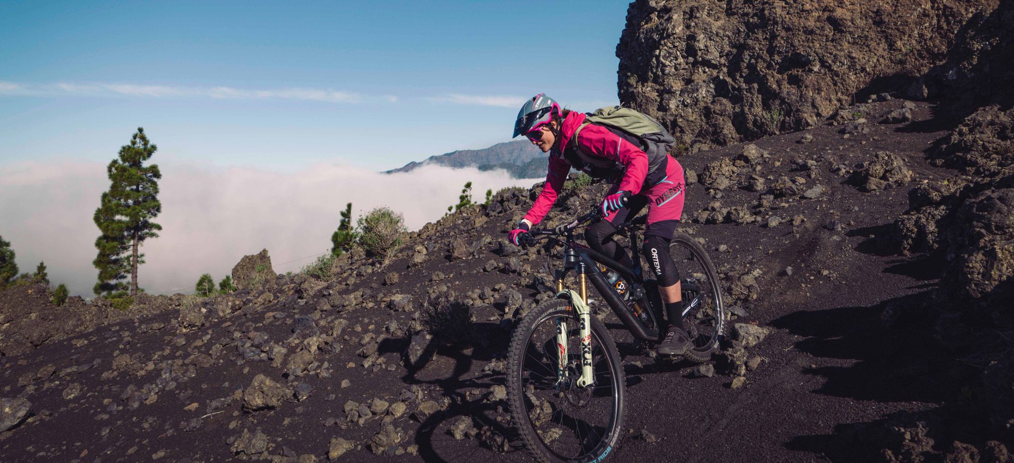
La Palma – my favourite Tours on the Canary Islands’ Isla Bonita
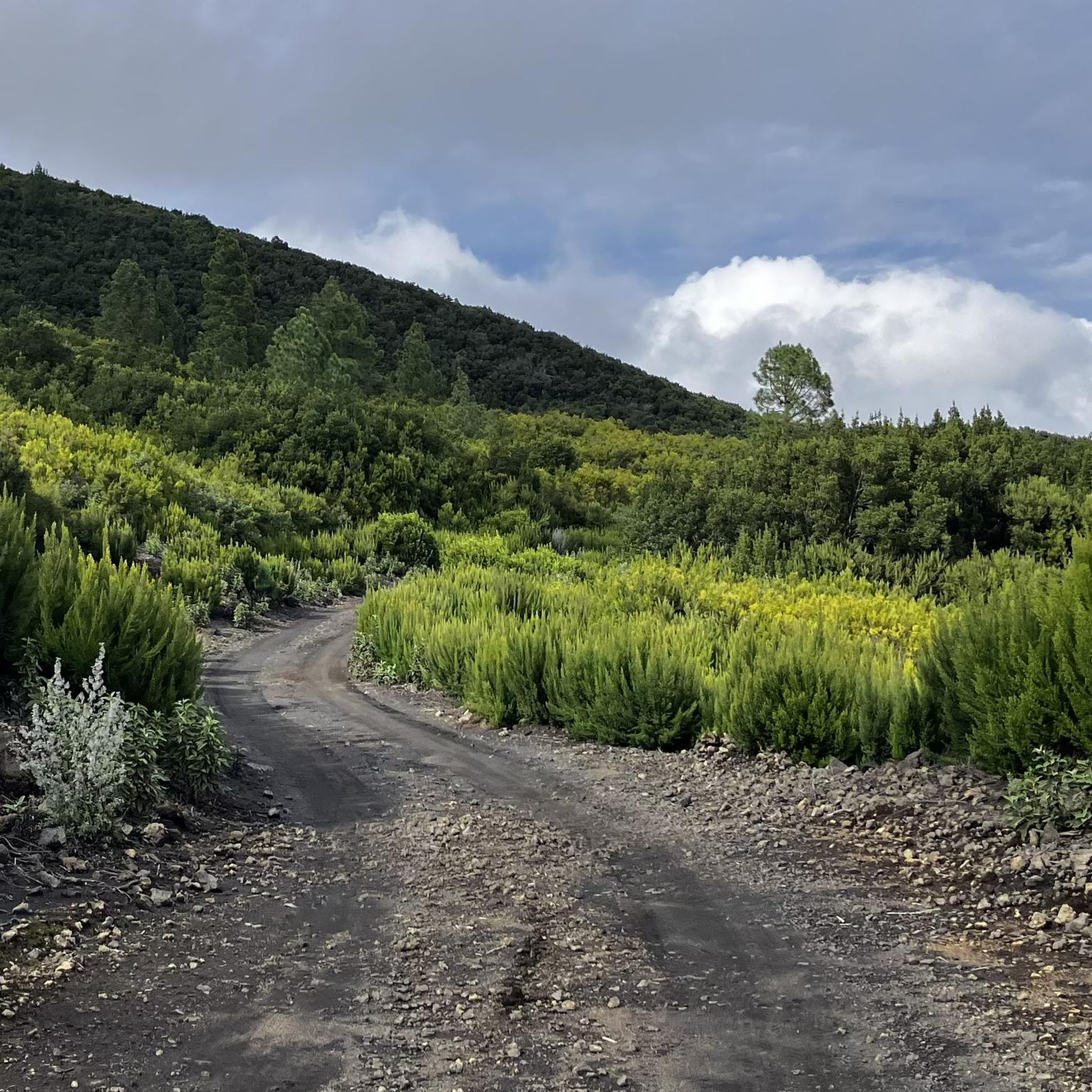
Road Cycling Routes in Cumbre Vieja
Cycling in Cumbre Vieja
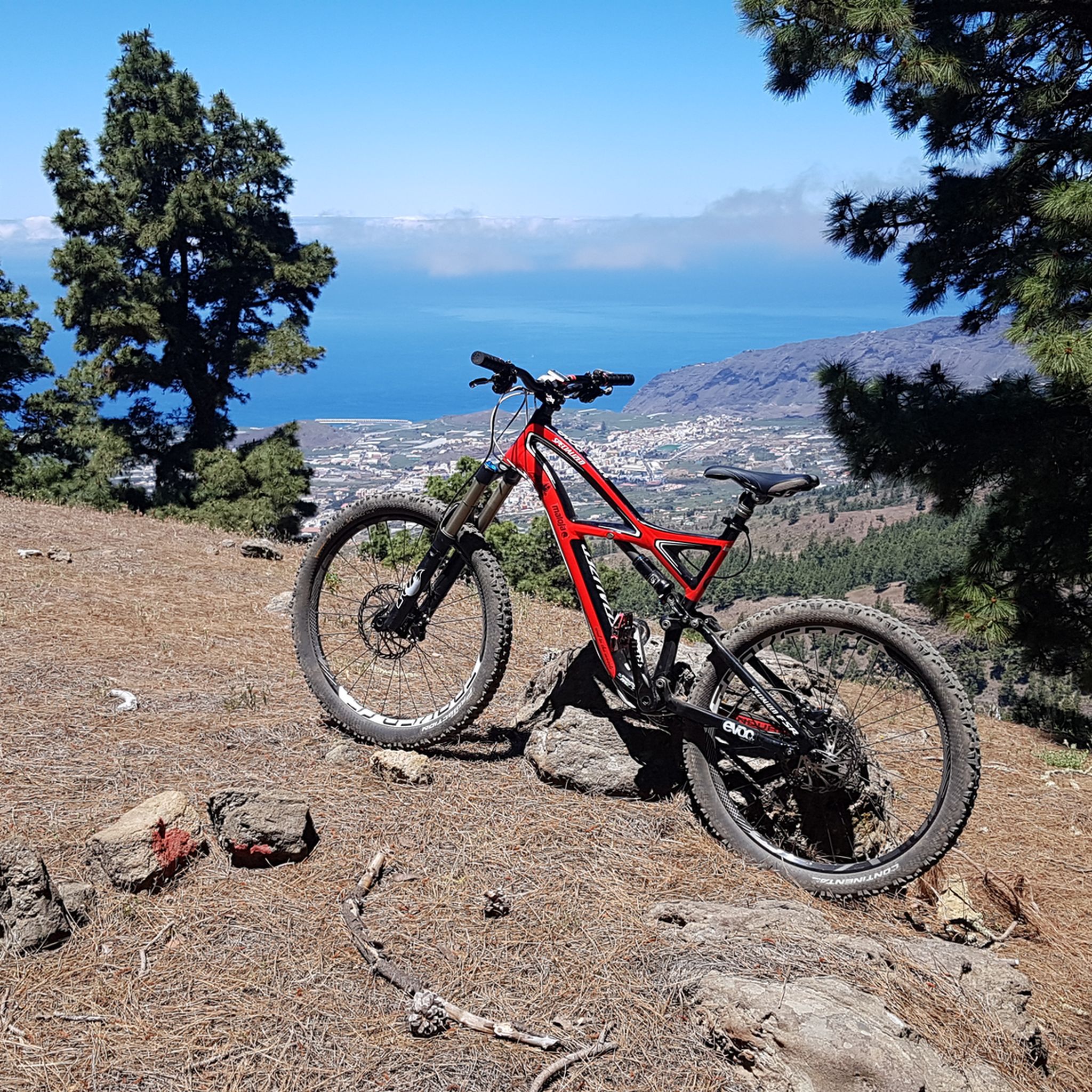
MTB Trails in Cumbre Vieja
Running Trails in Cumbre Vieja
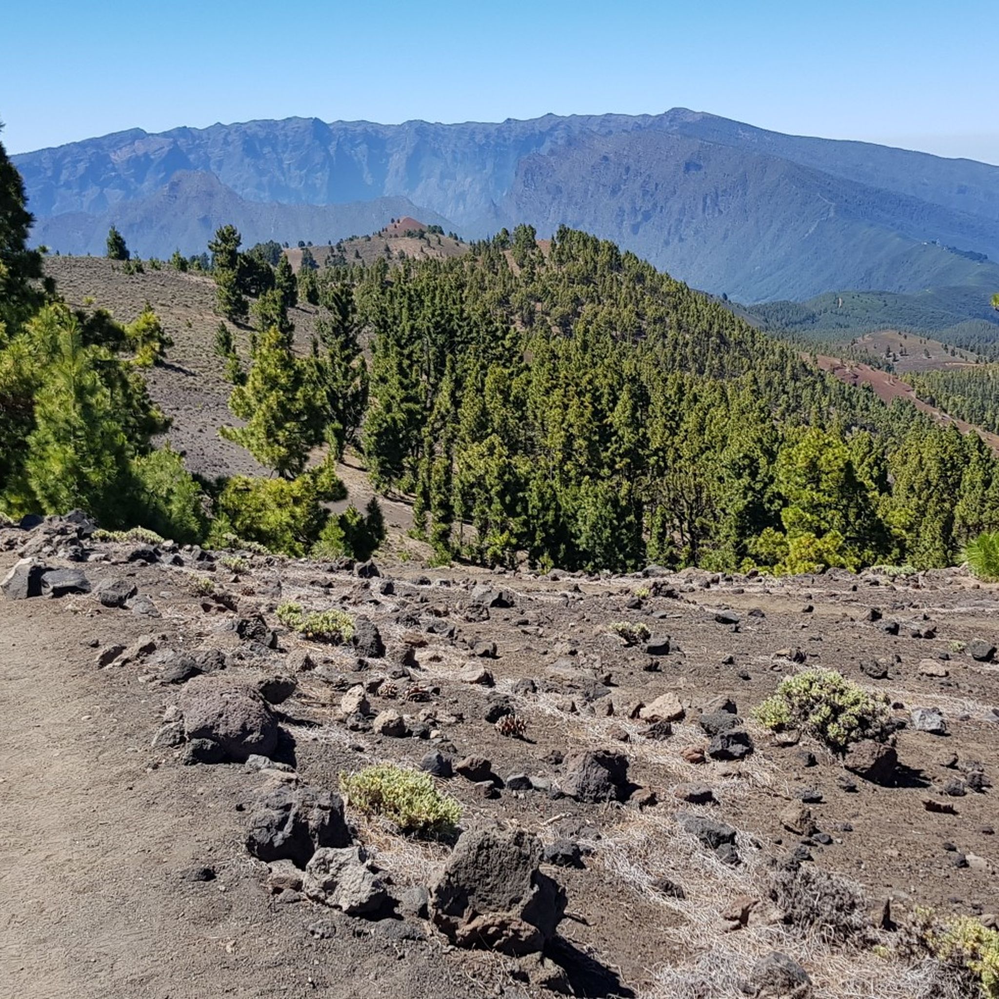
Mountain Hikes in Cumbre Vieja
Other adventures in Cumbre Vieja


Tips from the Community

It's fascinating to see the new volcanic cone.
1
0
The view of the lava fields and the volcanic cone is impressive!
0
0


The lava field has buried several villages and thus many livelihoods.
4
0
Some of the hiking signs are buried 1.70 meters under the ash
5
0
Walking through the exclusion zone with a guide is exciting: lots of good information.
5
0

beautiful to walk. sinks quite a bit into the ash, keep that in mind
1
0
Frequently Asked Questions
What types of hiking trails can I find in Cumbre Vieja?
Cumbre Vieja offers a diverse range of hiking trails, from easy walks to more strenuous ridge trails. You'll find paths traversing dramatic volcanic landscapes, ancient lava flows, and vibrant Canary pine forests. The region is known for its abundance of volcanic cones and craters, providing unique and varied terrain for exploration. There are 28 easy routes, 84 moderate routes, and 24 difficult routes available.
Are there any family-friendly hiking options in Cumbre Vieja?
Yes, Cumbre Vieja has several family-friendly hiking options. For example, the Volcán de Tajogaite — circular desde Llano del Jable is an easy 5.2 km circular path, offering a chance to see the recently formed volcano. Many of the 28 easy routes in the area are suitable for families looking for less strenuous walks.
Are there any circular hiking trails in Cumbre Vieja?
Yes, Cumbre Vieja features several excellent circular hiking trails. A popular choice is Pico Birigoyo and Montaña la Barquita from Refugio El Pilar and return via PR-LP 16 — circular, a moderate 12.1 km route offering views of volcanic peaks. Another option is the easy Volcán de Tajogaite — circular desde Llano del Jable, which is 5.2 km long.
What are some notable geological features or landmarks to see while hiking?
The Cumbre Vieja region is rich in dramatic geological features. You can explore numerous volcanic cones and craters, including the Hoyo Negro Crater, which erupted in 1949. The Martín Volcano features a grandiose crater and a viewpoint. You'll also encounter ancient and recent lava flows, including those from the 2021 Tajogaite eruption, which dramatically reshaped the landscape.
Is there parking available at trailheads in Cumbre Vieja?
Yes, parking is available at several key trailheads. For instance, the Llano del Jable Astronomical Viewpoint serves as a starting point for hikes to volcanic peaks like Pico Birigoyo and offers parking. Refugio del Pilar is another common starting point for routes, including the northern half of the Volcanoes Route, and typically has parking facilities.
Do I need a permit or guide for specific trails, especially around the recent Tajogaite volcano?
Access to the area around the recently formed Tajogaite volcano is regulated and often requires a guided tour due to its restricted nature and ongoing geological activity. For other trails within the Cumbre Vieja Natural Park, permits are generally not required for independent hiking, but it's always advisable to check local regulations before your visit. You can find more information on the official tourism website: visitlapalma.es.
What do other hikers enjoy most about hiking in Cumbre Vieja?
The area is highly rated by the komoot community, with an average score of 4.5 stars from over 5000 reviews. Hikers frequently praise the dramatic volcanic landscapes, the striking contrast between dark volcanic earth and vibrant Canary pine forests, and the well-maintained trail networks. Many appreciate the unique experience of traversing active geological areas and the stunning panoramic views from ridge trails.
What is the best time of year to hike in Cumbre Vieja?
La Palma generally enjoys a mild climate year-round, making hiking in Cumbre Vieja possible in most seasons. However, the shoulder seasons (spring and autumn) often offer the most pleasant temperatures and fewer crowds. Summer can be warm, especially at lower elevations, while winter might bring cooler temperatures and occasional rain, particularly at higher altitudes. Always check the local weather forecast before heading out.
Are there any less crowded hiking options in Cumbre Vieja?
While the iconic Ruta de los Volcanes can be popular, many other trails offer a more secluded experience. Exploring some of the less-known routes or visiting during off-peak hours can help you find quieter paths. The region has 136 total tours, so there are plenty of options beyond the most famous ones. Consider exploring trails that branch off the main ridge or those in less central areas of the park.
What should I pack for a hike in Cumbre Vieja?
Given the varied terrain and potential for changing weather, it's advisable to pack layers of clothing, sturdy hiking boots, and sufficient water. Sun protection (hat, sunscreen) is essential, especially on exposed volcanic ridges. A map or GPS device is recommended, as is a fully charged phone. For longer hikes, bring snacks and a first-aid kit. If you plan to hike near the Tajogaite volcano, be prepared for specific access requirements.
Can I hike with my dog in Cumbre Vieja?
While dogs are generally welcome on many trails in La Palma, specific regulations may apply within the Cumbre Vieja Natural Park, especially in protected areas or around sensitive geological sites. It's best to keep dogs on a leash and ensure you clean up after them. Always check local signage and park rules for the specific trail you plan to hike to confirm dog access.
Most popular routes in Cumbre Vieja
Most popular attractions in Cumbre Vieja

Get inspired with the komoot mobile app


Explore more
Browse the best Hikes in other regions.
