The best running trails in Cumbre Vieja
4.7
(7)
197
runners
15
runs
Jogging routes in Cumbre Vieja traverse a volcanic landscape shaped by millions of years of geological activity, including recent eruptions. The terrain features numerous volcanic cones, craters, and solidified lava flows, offering a distinctive environment for running. Contrasting with the dark volcanic earth, vibrant Canary pine forests thrive in many areas, adding diverse visual elements to the scenery. The varied topography includes significant elevation changes, providing options for different running experiences.
Best jogging routes in Cumbre Vieja
- The most popular…
Last updated: July 1, 2026
4.0
(1)
46
runners
15.1km
02:14
650m
650m
Hard run. Very good fitness required. Mostly paved surfaces. Suitable for all skill levels.
43
runners
13.8km
01:43
320m
320m
Hard run. Very good fitness required. Mostly paved surfaces. Suitable for all skill levels.

Sign up for free
5.0
(1)
13
runners
10.2km
01:29
490m
490m
Hard run. Very good fitness required. Mostly accessible paths. Some sure footedness required.
4.7
(3)
12
runners
24.2km
03:32
950m
950m
Hard run. Very good fitness required. Sure-footedness, sturdy shoes and alpine experience required.
9
runners
31.0km
04:44
1,370m
1,370m
Hard run. Very good fitness required. Sure-footedness, sturdy shoes and alpine experience required.
Get access to more routes and recommendations from other explorers.
Sign up for free
Already have an account?
Our route recommendations are based on thousands of hikes, rides, and runs completed by other people on komoot.
Start today with a free account
Your next adventure awaits.
Login or Signup
Popular around Cumbre Vieja
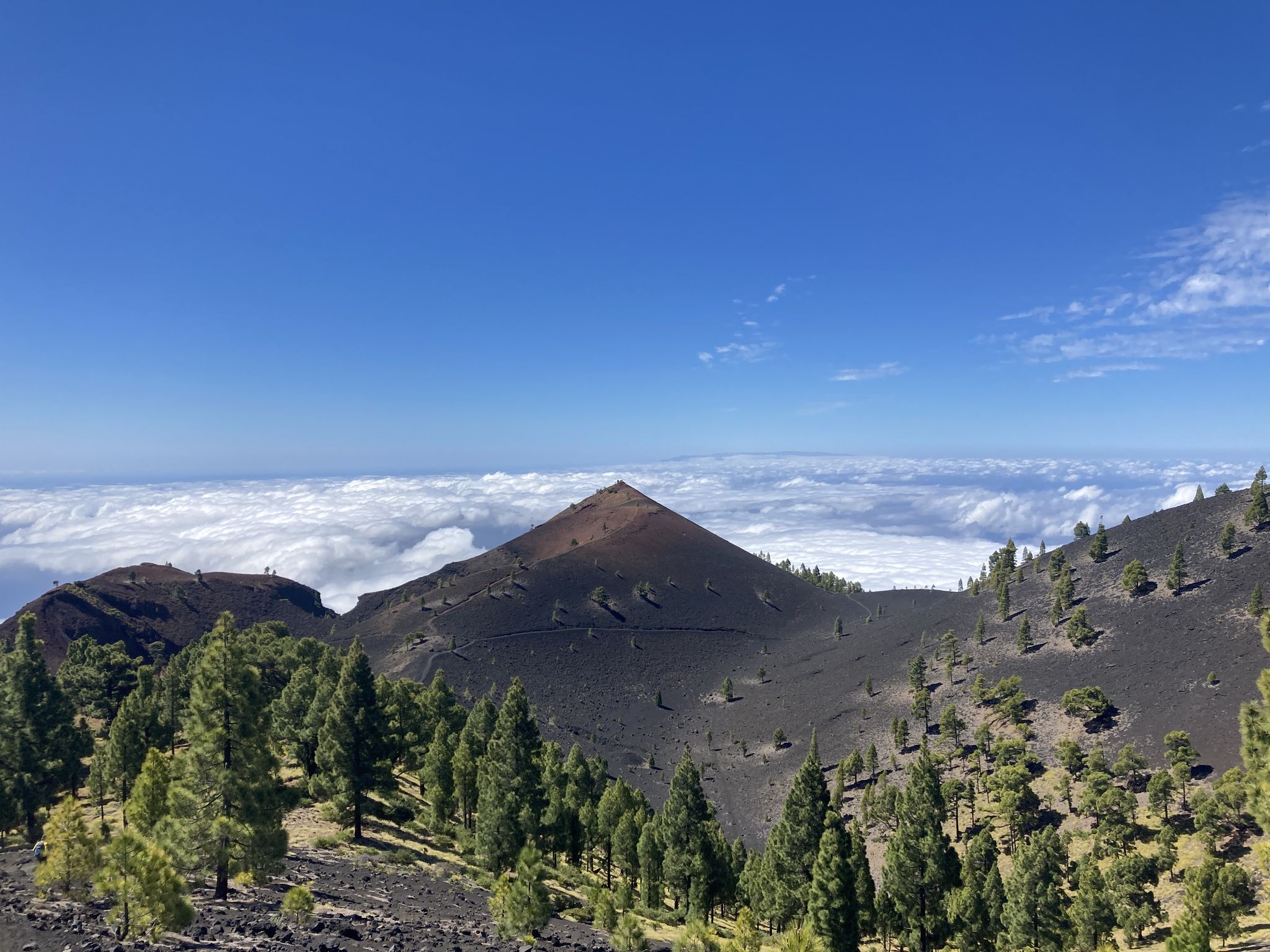
Transvulcania - traverse la Palma in the Canary Islands on the GR 131
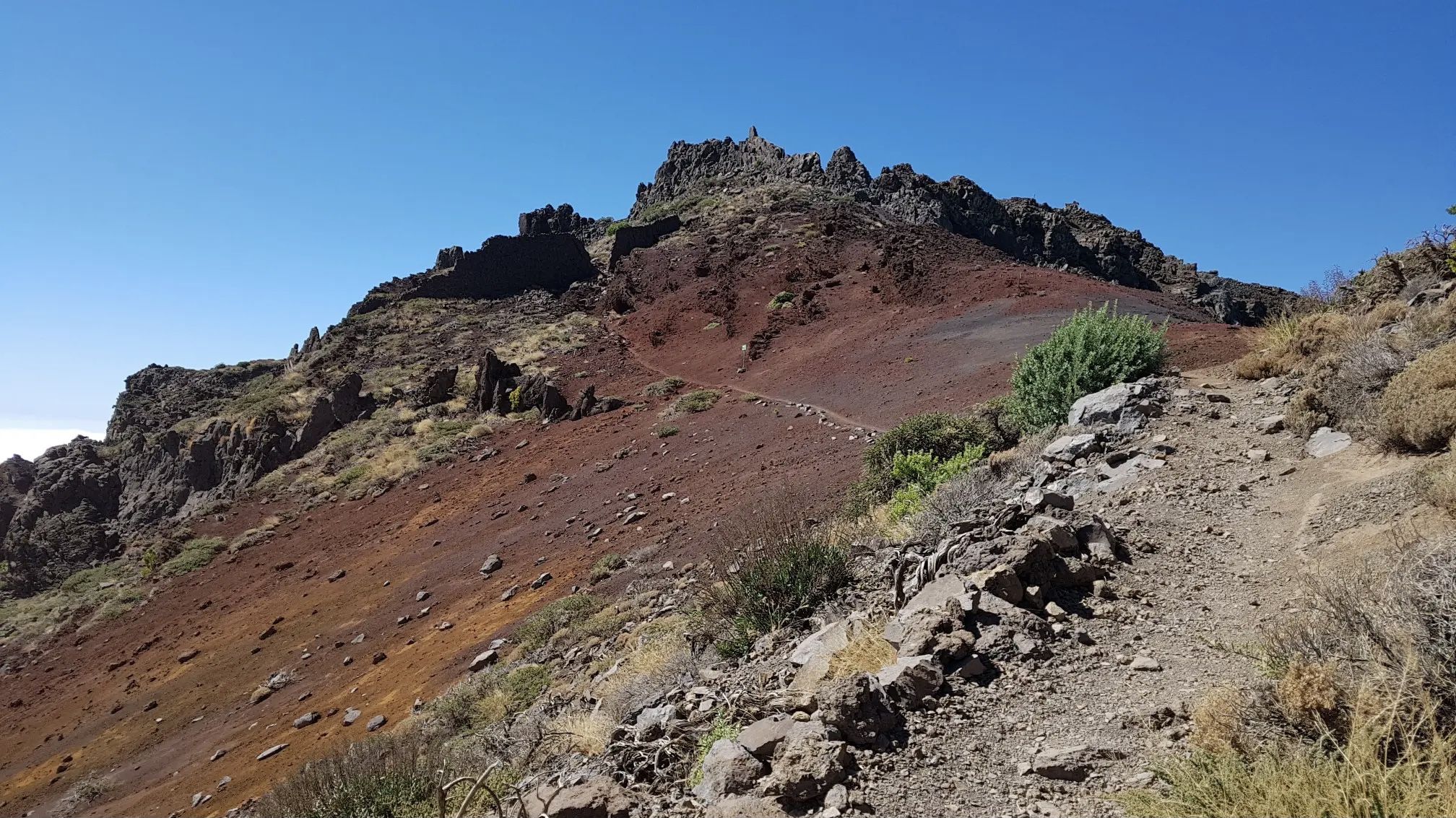
GR 131 El Bastón – La Palma in all its splendour
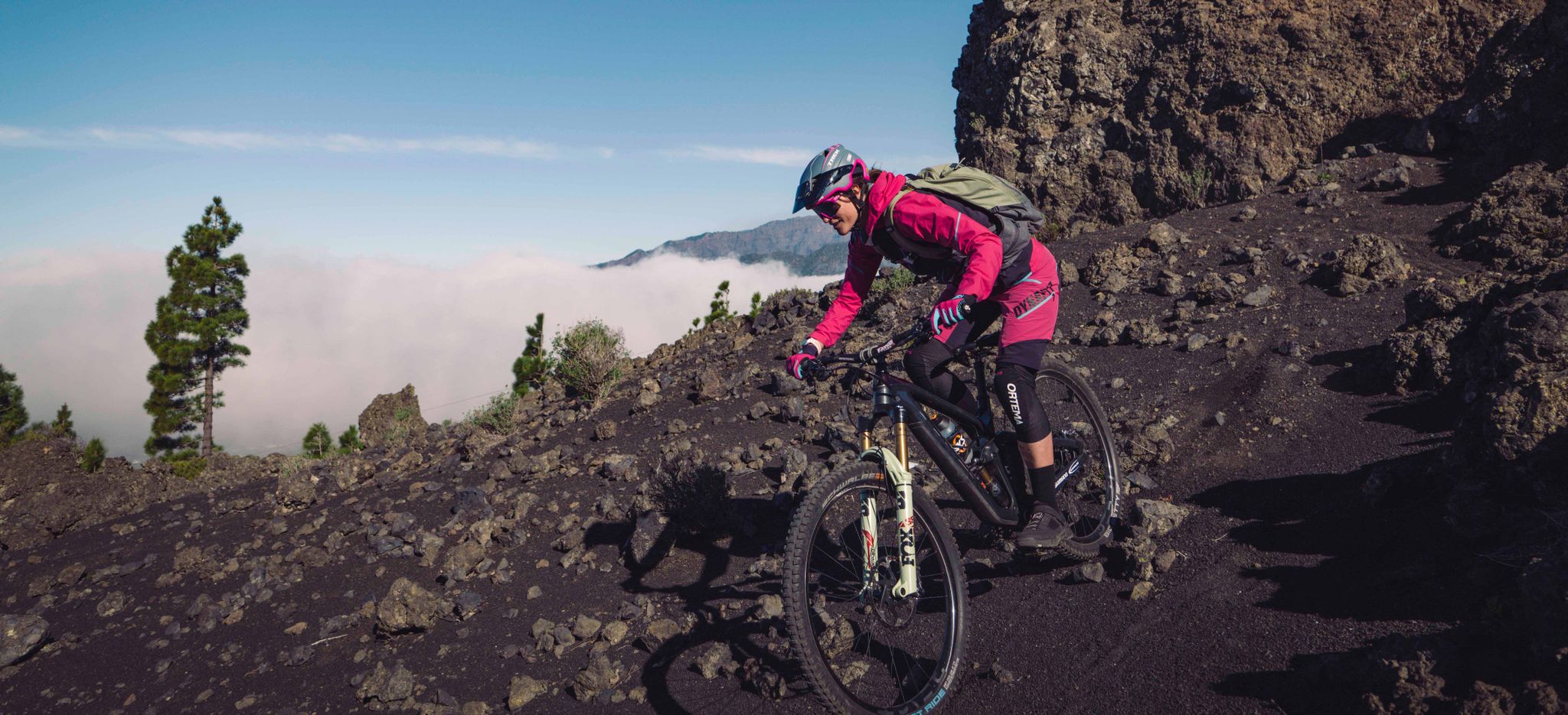
La Palma – my favourite Tours on the Canary Islands’ Isla Bonita
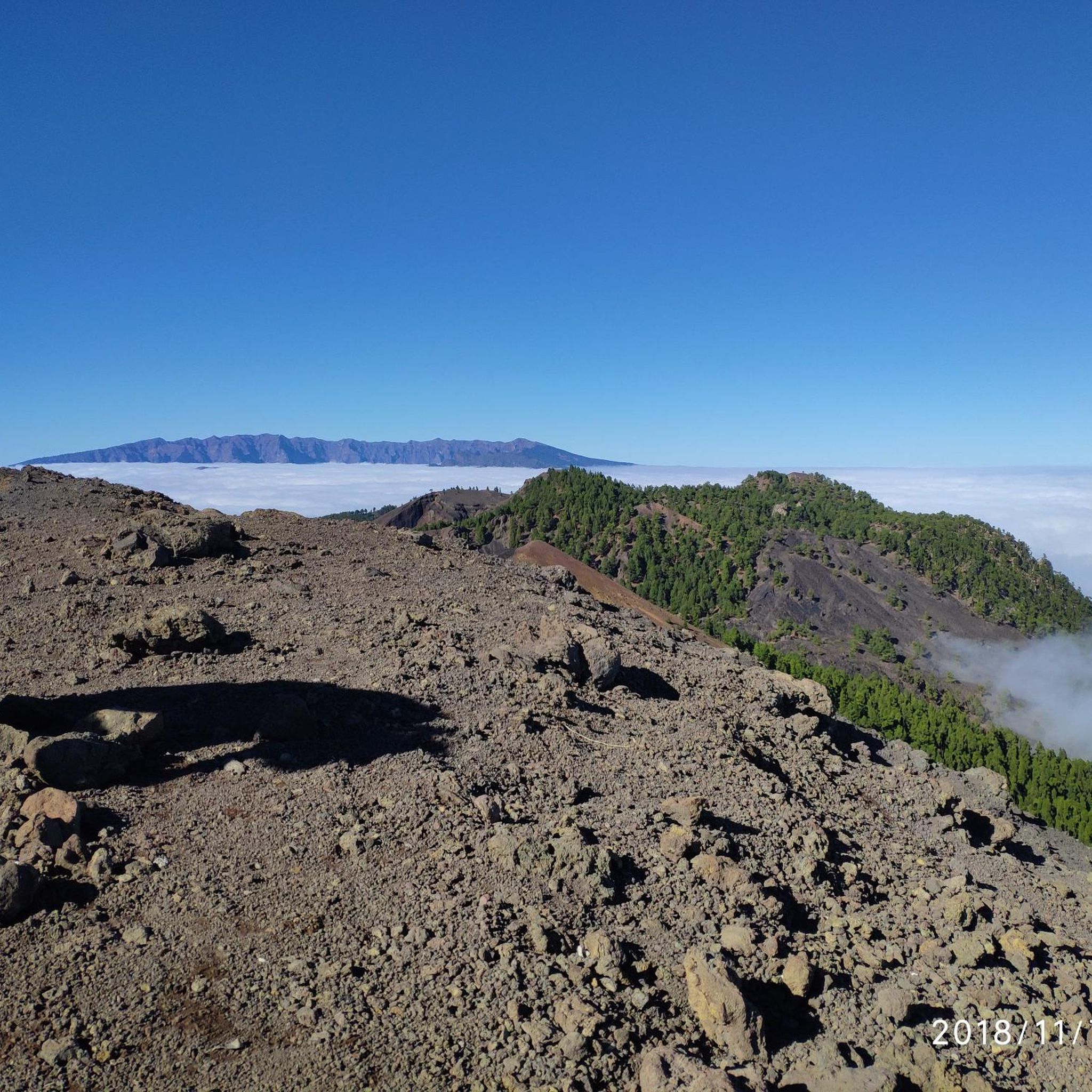
Hiking in Cumbre Vieja
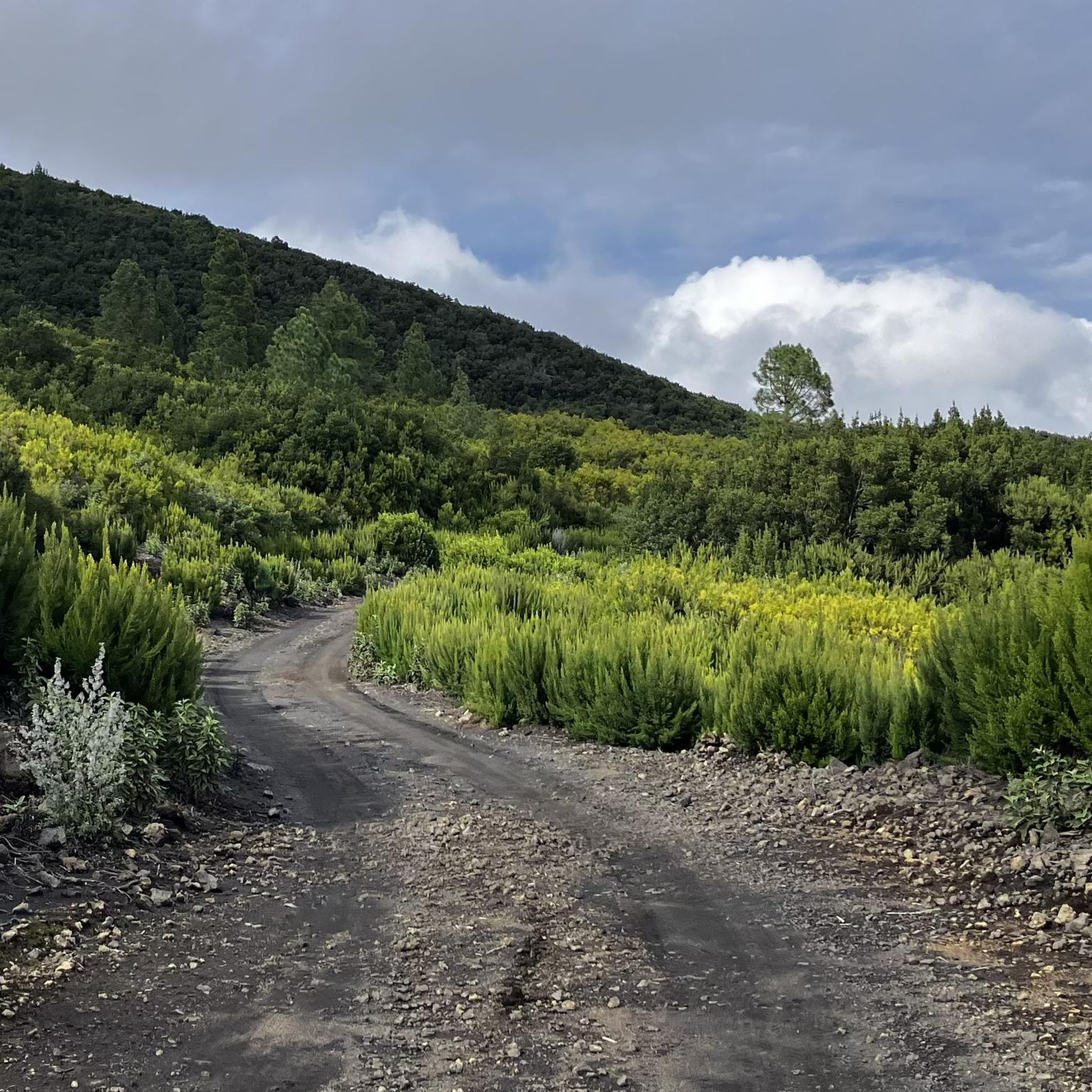
Road Cycling Routes in Cumbre Vieja
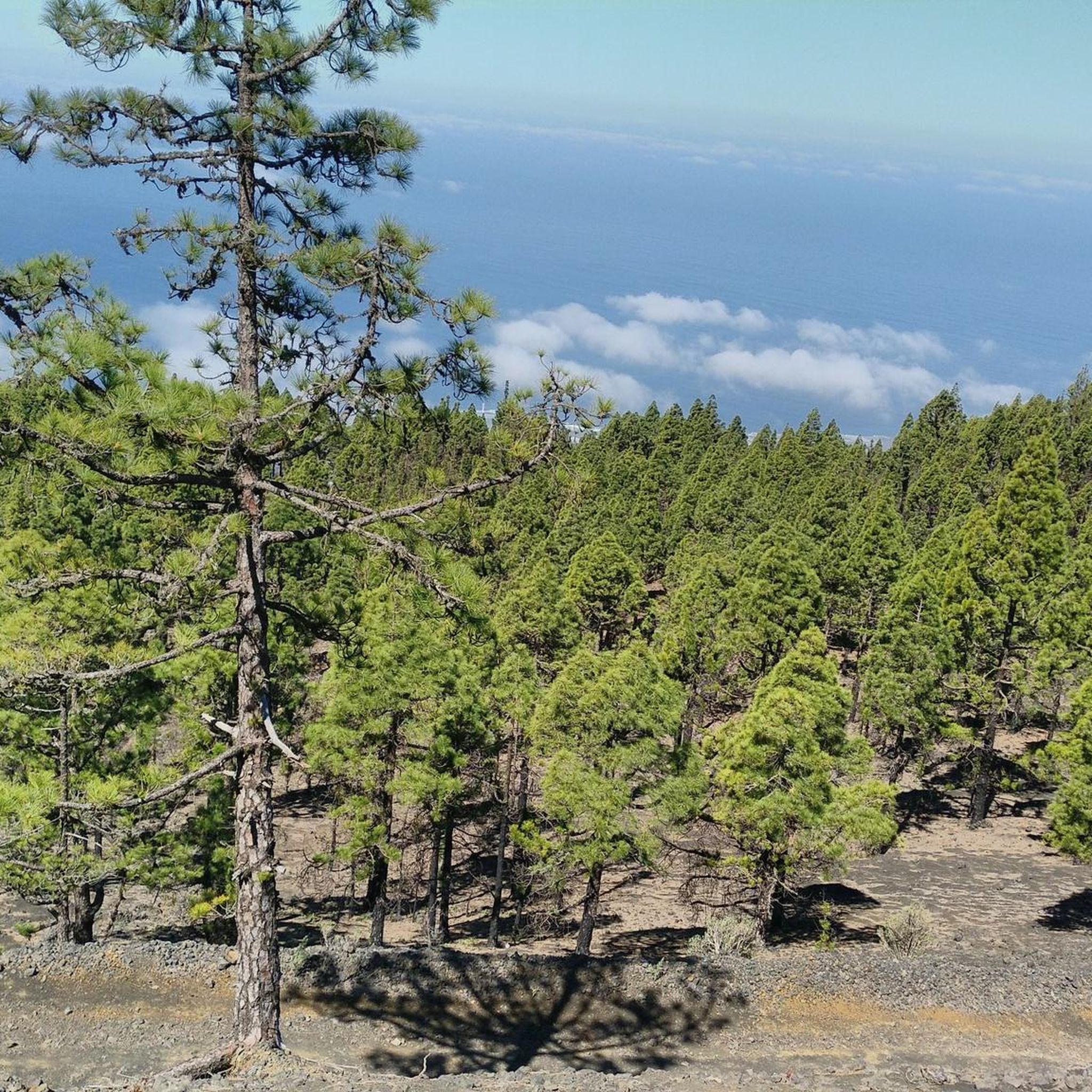
Cycling in Cumbre Vieja
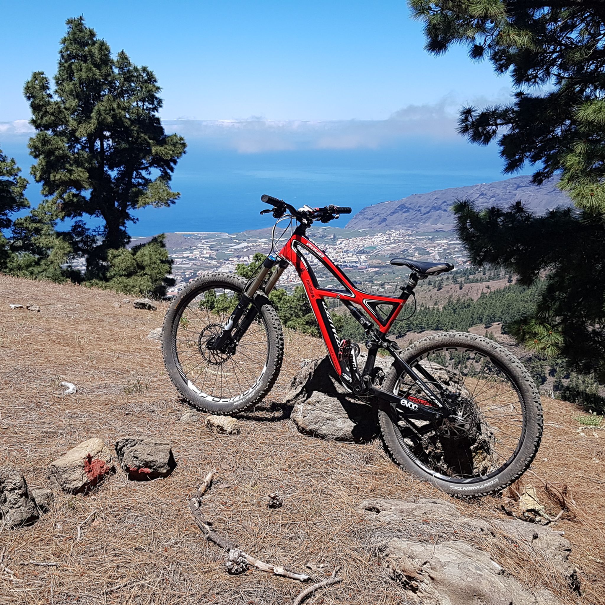
MTB Trails in Cumbre Vieja
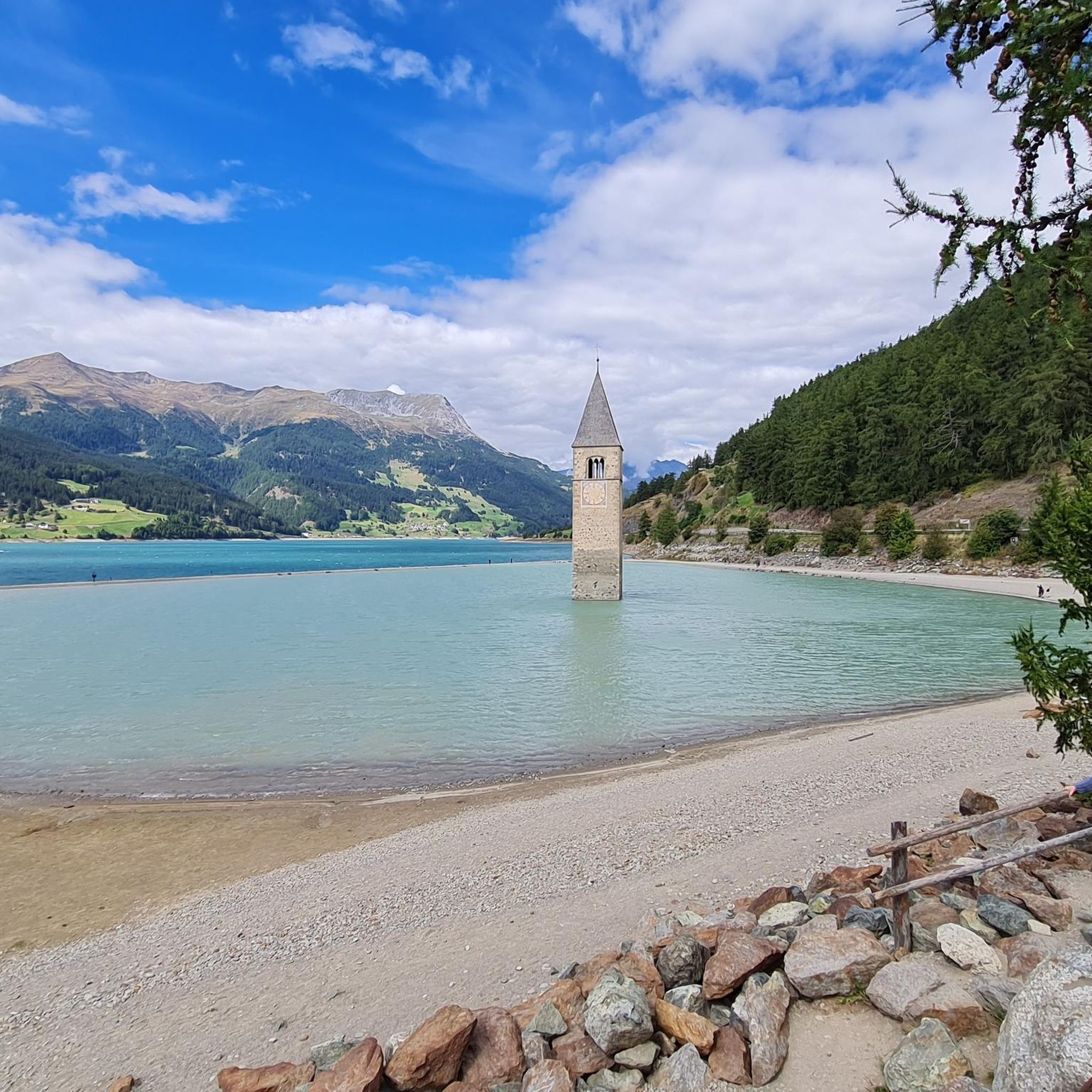
Mountain Hikes in Cumbre Vieja
Other adventures in Cumbre Vieja


Tips from the Community

This spectacular volcanic ridge offers, on either side of the trail, wide views of the Atlantic and the pine-covered slopes. Looking ahead, you can also admire the rugged relief of the ridge.
0
0

The ridge is often cold and damp
0
0

The highest peak on the volcano route, offering a magnificent panoramic view: of the caldera, Tenerife with Mount Teide, and the next volcanic craters along the route. Caution: it can be quite windy on the ascent.
0
0

From this viewpoint, the Ruta de los Vulcanos curves to the right of the Volcán Duráznero, but there is another trail that takes you straight over the top of this volcano and the next one, the Deseada.
0
0

The Deseada volcano, with its two peaks (Deseada I at 1,947 m and Deseada II at 1,933 m), offers magnificent panoramic views over the Cumbre Vieja to the Caldera de Taburiente. A visit to this peak is an absolute must!
0
0

The highest point of the Cumbre Vieja. If you're hiking the Ruta de los Volcánes, you should definitely treat yourself to those few extra meters.
0
0

Great hiking trail directly along the volcano route. You can see several volcanoes and also walk over volcanic ash and forests. If you walk along the ridge, you have great views of the neighboring islands of Tenerife, La Gomera and El Hierro.
0
1

A really deep, spectacular crater right on the GR 131 - Ruta de los Volcanos. Interesting to see what shapes the lava formed. You can take really great photos
5
0
Frequently Asked Questions
How many running routes are available in Cumbre Vieja?
There are 16 dedicated running routes in Cumbre Vieja, offering a variety of experiences across its unique volcanic landscape. These routes are highly rated by the komoot community, with an average score of 4.8 stars.
What kind of terrain can I expect on jogging routes in Cumbre Vieja?
Jogging routes in Cumbre Vieja primarily traverse a dramatic volcanic landscape, featuring numerous cones, craters, and solidified lava flows. You'll also find vibrant Canary pine forests, which provide a contrasting green element to the dark volcanic earth. The varied topography includes significant elevation changes, offering both challenging ascents and rewarding descents.
Are there any circular running routes in Cumbre Vieja?
Yes, many of the running paths in Cumbre Vieja are circular. For example, the Refugio El Pilar – Refugio del Pilar loop from Montaña de los Tomillos is a popular 8.2-mile (13.1 km) difficult route, and the Transvulcania Ultratrail Route – Reventón Pass loop from Cumbrera offers panoramic views over 8.6 miles (13.8 km).
What natural features or landmarks can I see while running in Cumbre Vieja?
Cumbre Vieja is rich in natural landmarks. You can encounter volcanic features like the Hoyo Negro Crater and the Martín Volcano. Many routes also pass through beautiful Canary pine forests. For stunning vistas, consider routes near the Llano del Jable Astronomical Viewpoint, which offers magnificent views of the Aridane Valley.
What are the typical difficulty levels for running trails in Cumbre Vieja?
The majority of running trails in Cumbre Vieja are classified as difficult, with 13 out of 16 routes falling into this category. There are also 3 moderate routes, but no easy options are currently listed. These routes often feature significant elevation changes, making them suitable for experienced runners looking for a challenge.
Are there any running routes that offer panoramic views?
Absolutely. Many routes in Cumbre Vieja provide breathtaking panoramic views, especially those traversing higher elevations or ridge lines. The Transvulcania Ultratrail Route – Reventón Pass loop from Cumbrera is specifically noted for its panoramic views of the volcanic landscape and the Atlantic Ocean. The Ruta de los Volcanes, a well-known trail, also offers expansive vistas of craters and solidified lava.
What do other runners enjoy most about the trails in Cumbre Vieja?
The running trails in Cumbre Vieja are highly rated by the komoot community, with an average score of 4.8 stars from 4 reviews. Runners frequently praise the unique volcanic scenery, the challenging yet rewarding terrain, and the opportunity to experience the raw geological power of the island. Over 200 runners have used komoot to explore these varied paths.
Can I find routes that pass by significant volcanic sites?
Yes, Cumbre Vieja is defined by its volcanic history, and many running routes will take you past significant volcanic sites. The Deseada Peak – Hoyo Negro Crater loop from Pared Vieja, for instance, directly incorporates the Hoyo Negro Crater. The region also features the Tajogaite Volcano, the site of the recent 2021 eruption, which can be explored on organized trails.
Are there any specific starting points for running tours in Cumbre Vieja?
A popular starting point for various tours into the park is Refugio del Pilar. The Refugio El Pilar – Refugio del Pilar loop from Montaña de los Tomillos and the Refugio del Pilar – Reventón Pass loop from Montaña de los Tomillos both begin near this recreation area. The Llano del Jable Astronomical Viewpoint also serves as a starting point for hikes to nearby volcanic peaks.
What is the longest running route available in Cumbre Vieja?
The longest running route listed is the Deseada Peak – Hoyo Negro Crater loop from Pared Vieja, which spans approximately 15 miles (24.2 km). This difficult trail involves significant elevation changes and offers an extensive exploration of the volcanic landscape.
Are there any running routes that combine volcanic and forested areas?
Yes, the diverse landscape of Cumbre Vieja often blends volcanic terrain with lush forests. The Refugio del Pilar – Reventón Pass loop from Montaña de los Tomillos is an excellent example, leading through varied volcanic and forested areas, showcasing the contrast between the dark earth and vibrant Canary pine trees.
Most popular routes in Cumbre Vieja
Most popular attractions in Cumbre Vieja

Get inspired with the komoot mobile app


Explore more
Browse the best Running Trails & Routes in other regions.
